
Worldwide costumes of men and women.
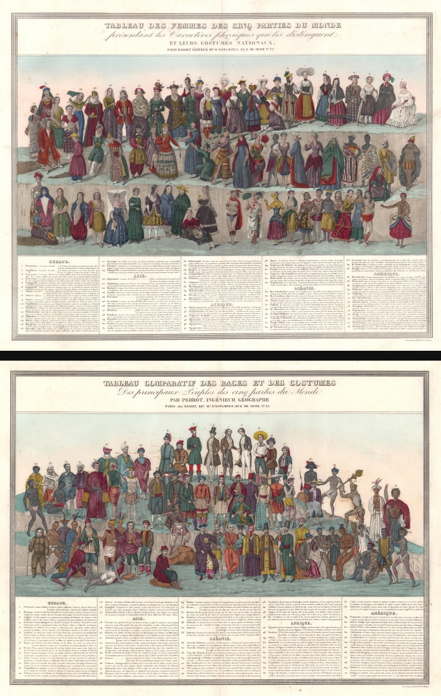
Tableau des Femmes des Cinq Parties du Monde présentant les Caractères physiques qui les distinguent et leurs costumes nationaux. / Tableau Comparatif de Races et des Costumes Des principaux Peuples des cinq parties du Monde.
$1,500.00
Acquire
- Digital Map Information
- Suitable for large format printing
- Full resolution TIFF file
- ICC color profile embedded
- Delivered instantly via download link
These are c. 1830 Ferdinand Victor Perrot comparative charts of the women and men of the world. (more details)
The first modern map of Mount Everest.

Mahalangur Himal Chomolongma - Mount Everest.
sold
This is the first and most important modern map of Mount Everest. This extraordinary map was published in 1957 by the Deutscher Alpenverein (German Alpine Club) and Österreichischer Alpenverein (Austrian Alpine Club) based upon photogrammetric survey work conducted by Erwin Schneider during the 1955 Norman G. Dyrhenfurth Himalaya Expedition. (more details)
One of the first commercial maps issued in the Philippines following the American takeover.
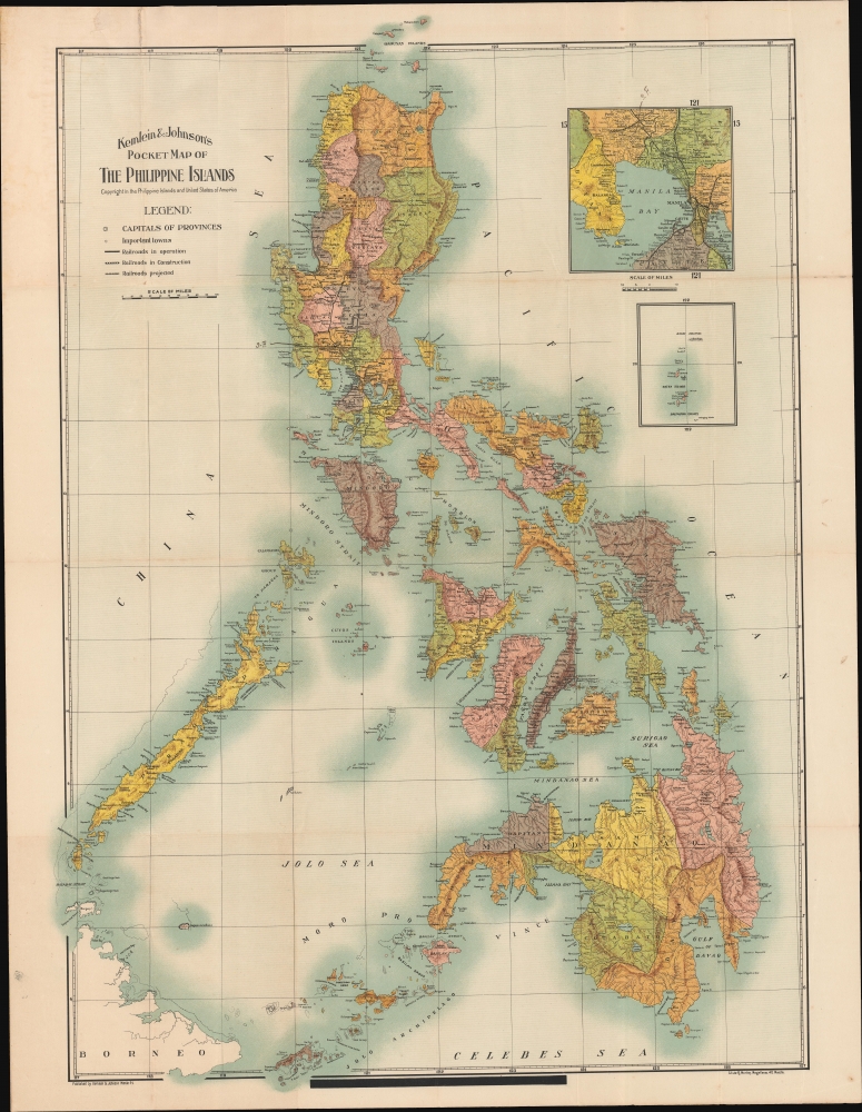
Kemlein and Johnson's Pocket Map of the Philippine Islands.
sold
- Digital Map Information
- Suitable for large format printing
- File Size: 106.79 MB
- File Type: ZIP / TIFF
- ICC color profile embedded
- Delivered instantly via download link
A rare first edition 1907 chromolithograph pocket map of the Philippines issued by the Manila-based German-American publishers Kemlein and Johnson. This is one of the first commercial maps, if not the first, issued in the Philippines following the 1900 American takeover. (more details)
'Most Desolate and Uninviting.' -Forrest
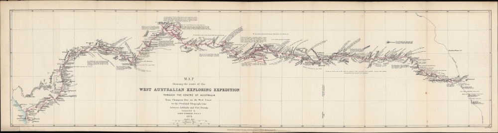
Map showing the route of the West Australian Exploring Expedition through the centre of Australia from Champion Bay on the west coast to the Overland Telegraph Line between Adelaide and Port Darwin.
$850.00
Acquire
- Digital Map Information
- Suitable for large format printing
- File Size: 136.62 MB
- File Type: ZIP / TIFF
- ICC color profile embedded
- Delivered instantly via download link
An 1875 map prepared by John Forrest, head of the Western Australia Exploring Expedition. It traces the progress and discoveries of the first extensive exploration of Western Australia's interior. (more details)
Colonial-era Development in Pyongyang.

[Heijō] / 平壤案內 [Heijō Guide].
sold
- Digital Map Information
- Suitable for large format printing
- Full resolution TIFF file
- ICC color profile embedded
- Delivered instantly via download link
A scarce c. 1930 Heijō Okuda pictorial map of Heijō (Pyongyang), in modern day North Korea, published during the Japanese colonial period. The map and the verso text provide detailed information on the city, reflecting its growth and industrialization during the colonial era. It is likely that this map was not intended for tourists but rather as a lure to would-be Japanese colonial migrants and investors. (more details)
Imperial Japan Sets Its Sights on Latin America.

ラテンアメリカ資源要圖 / [Natural Resource Map of Latin America].
sold
- Digital Map Information
- Suitable for large format printing
- File Size: 728.69 MB
- File Type: ZIP / TIFF
- ICC color profile embedded
- Delivered instantly via download link
A 1942 Japanese-language map of Latin America focusing on natural resources, edited and published by Mamiya Naoka for the Latin America Central Association. Produced in the context of war against the United States, the map reflects the growing ambitions of Japanese militarism in the heady early days of the Pacific War. (more details)
Predicting the Great Circle Routes.
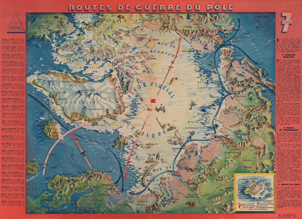
Routes de Guerre du Pôle.
sold
- Digital Map Information
- Suitable for large format printing
- Full resolution TIFF file
- ICC color profile embedded
- Delivered instantly via download link
This is a 1943 Jacques Mercier pictorial map of the North Pole, published in Lyon during World War II (1939 - 1945). The map posits a future where aviators could travel via the North Pole between Asia and North America. Though this is the shortest route between the continents, it was a technological impossibility at the time of publication. (more details)
Get your Kicks on Route 66!

A Nostalgic, Bioregionally-Flavored, Bird's-Eye-View Map of Old Route 66. Main Street U.S.A. - Chicago to L.A.!
sold
This is Robert 'Bob' Waldmire's 1992 pictorial bird's-eye view map of Route 66. The product of 4 years of research, Waldmire considered this map his grand opus. From Chicago to Los Angeles, the view-map narrates the experience of Route 66, captivating readers with history and other anecdotes. (more details)
Berlin Wall less than 18 months after it was built.

Berlin.
sold
This is a 1962 JRO-Sonderkarte pictorial city map of Berlin, Germany, boldly illustrating the 18-month-old Berlin Wall and the strangling confinement of West Berlin. (more details)
'10 Commandments of Boating'.
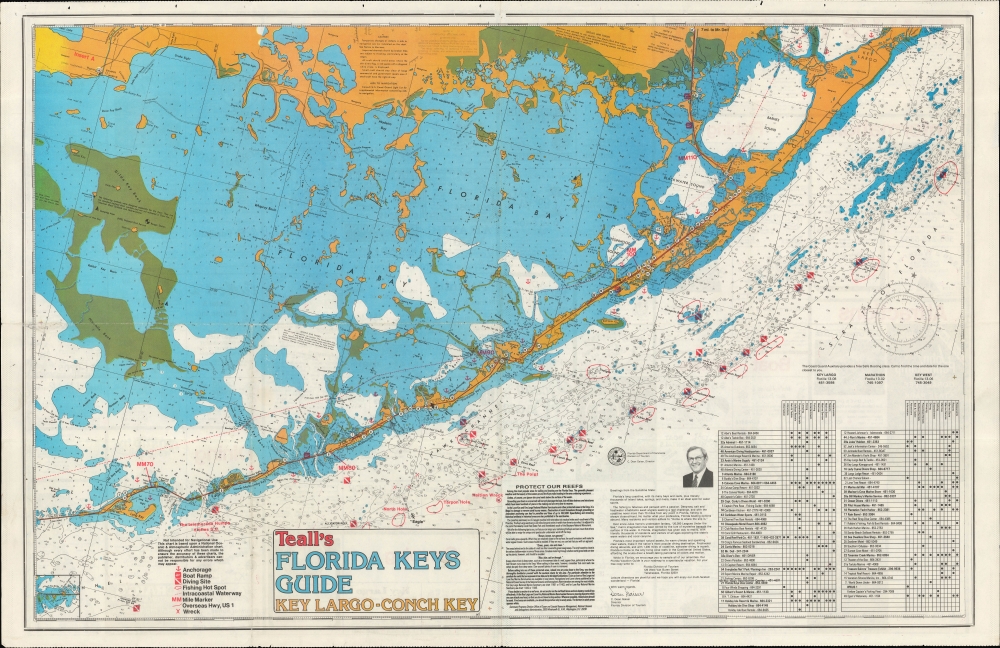
Teall's Florida Keys Guide Key Largo - Conch Key.
sold
A colorful 1986 Russ Teall nautical map of the Florida Keys from Key Largo to Conch Key. It provides extensive information on the waters and recreational activities around the Keys, as well as businesses and services on land. (more details)
Travel the Overseas Highway.

The Florida Keys Key Largo to Key West.
sold
This is a 1987 Ad-A-Map tourist road map of the Florida Keys. Combining advertisements with a general map of the Keys along with street maps focusing on Marathon, Key Largo, Tavernier, and Key West, this piece provides essential information for travelers on the Overseas Highway. (more details)
Early Japanese world map that adopts Western mapping conventions.

嘉永校訂東西地球萬國全圖 / Shinsei yochi zenzu. / Kaei kōtei Tōzai Chikyū Bankoku Zenzu / Map of all the Countries on the Eastern and Western Hemispheres.
sold
- Digital Map Information
- Suitable for large format printing
- Full resolution TIFF file
- ICC color profile embedded
- Delivered instantly via download link
An important 1848 (Kaei 1) Japanese woodblock map of the world drawn by Shincho Kurihara and published by Heibe Chojiya. This is one of the few 'modern' western style world maps in double hemisphere form issued in Japan before the 1853 Opening of Japan. As such, this map, whose title translates as 'Map of all the countries on the Eastern and Western Hemispheres' represents a significant advancement in Japanese cartography. (more details)
First Plate - most desirable Homann Map of America.
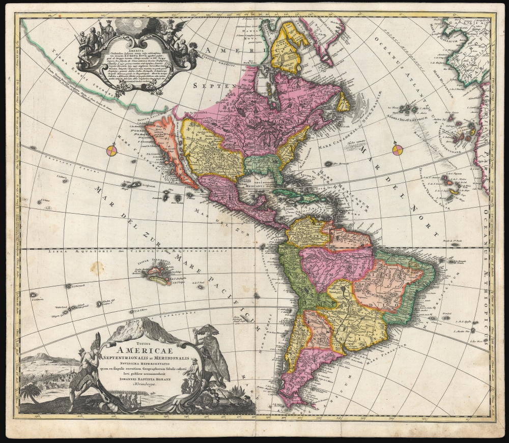
Totius Americae Septentrionalis et Meridionalis.
sold
- Digital Map Information
- Suitable for large format printing
- DPI: 600
- File Size: 54.51 MB
- File Type: ZIP / TIFF
- ICC color profile embedded
- Delivered instantly via download link
This is the scarce first plate of Johann Baptist Homann's 1707 map of America, in a beautiful original color example. It has been long misunderstood and miscataloged. The present example is the first plate, engraved by the elder Homann before 1707. Most examples of the map of this title appearing on the market are a different plate, engraved by Homann's son after 1724 (identified by the Imperial privilege). Thus, the present example is the most desirable Homann map of America. (more details)
Aviation City.
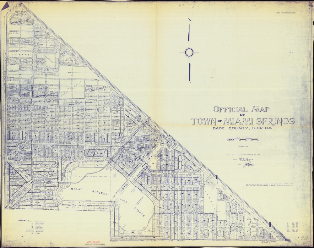
Official Map of Town of Miami Springs Dade County, Florida.
sold
A large-format 1960 diazotype cadastral map of Miami Springs, Florida, based on an earlier 1950 map by Milton B. Garris, modified and updated by Connell and Associates. It demonstrates the postwar growth of Miami Springs, building on its foundation as a planned community with close connections to the aviation industry. (more details)
An Attractive, Reduced Version of 'The Most Important Map in American History'.
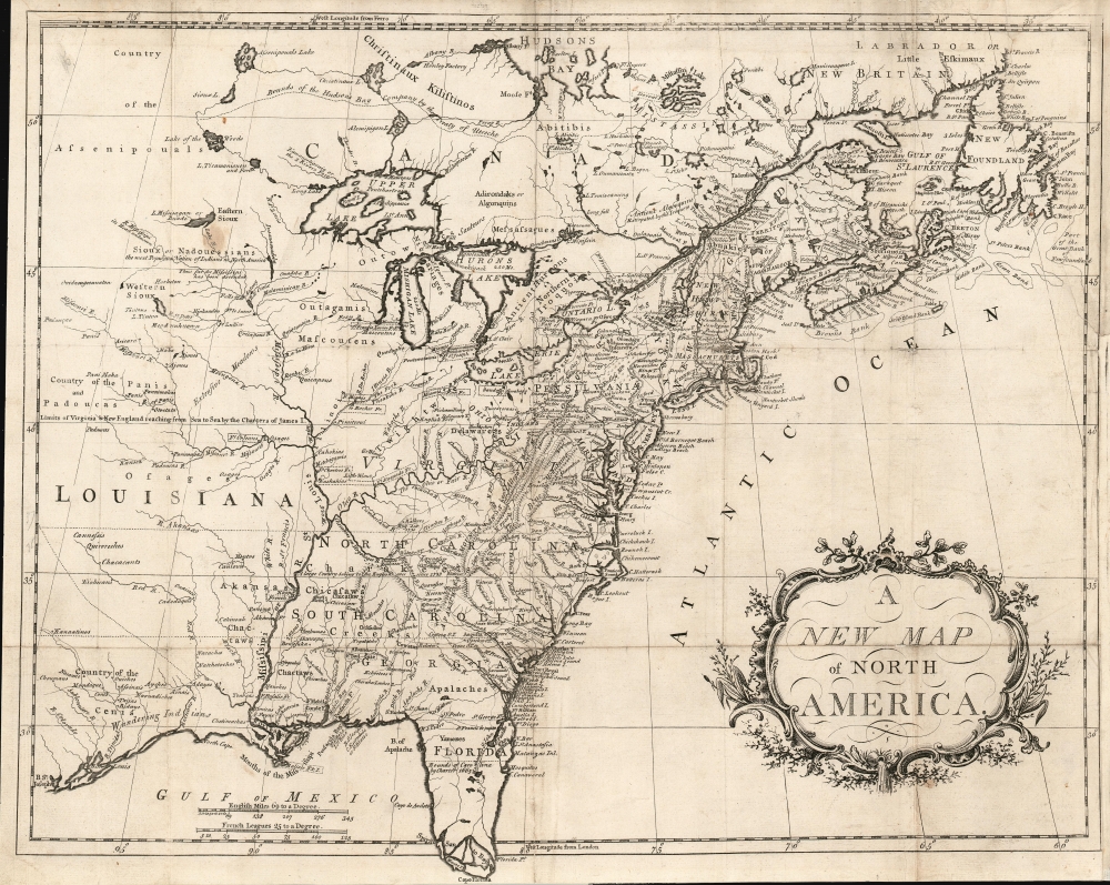
A New Map of North America.
sold
- Digital Map Information
- Suitable for large format printing
- Full resolution TIFF file
- ICC color profile embedded
- Delivered instantly via download link
This is an attractively engraved map (after Mitchell) of the British Colonies in North America, printed in Dublin by an anonymous printer to accompany a (plagiarized) history of the American Revolution. (more details)
Early Days of St. Pete's and Pinellas County.
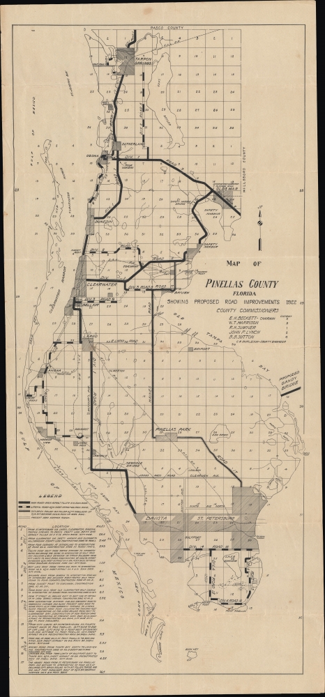
Map of Pinellas County Florida Showing Road Improvements 1922.
sold
- Digital Map Information
- Suitable for large format printing
- File Size: 293.95 MB
- File Type: ZIP / TIFF
- ICC color profile embedded
- Delivered instantly via download link
This is an unrecorded 1922 survey map of Pinellas County, prepared by county engineer Carl E. Burleson. It reflects the growth of cities and infrastructure that accompanied the Florida Land Boom as well as the Tampa Bay region's role in the early history of commercial aviation. (more details)
Eye-catching and comical Manhattan.

Colorgraph Map of New York.
sold
This is a first edition 1954 Ira Moss pictorial map of the borough of Manhattan in New York City. Eye-catching and entertaining, 197 different locations throughout Manhattan are illustrated as vignettes and numerically identified. These numbers correspond to an index along the bottom and right listing the sites by category, including hotels, restaurants, night clubs, churches, bridges, stores, 'points of educational interest' (museums, libraries, universities, etc.), and other points of interest. (more details)
The Comstock Lode.

A Bird's Eye View of the Central Portion of Virginia City Storey County, Nevada Showing Saloons, Churches, Gambling Halls, Schools, Theatres, Municipal Buildings, Mansions and Other Points of Interest.
sold
- Digital Map Information
- Suitable for large format printing
- File Size: 18.36 MB
- File Type: ZIP / TIFF
- ICC color profile embedded
- Delivered instantly via download link
This is a 1954 Robert Lewis Richards pictorial tourist map of Virginia City, Nevada. The map highlights Virginia City's historic locations and the town's history. (more details)
Winter Homes of the Rich and Famous.
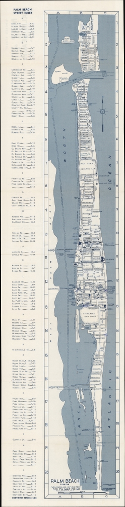
Palm Beach Florida / Indexed Street Map of Palm Beach Florida.
sold
A detailed indexed folding map of Palm Beach, Florida, published c. 1968 by the Dolph. It catalogs the city's many hotels, motels, clubs, and other attractions, many of which were noted for their distinctive architecture. (more details)
One of the Great Works of Modern Youth Literature.

Lord of the Flies.
sold
This 1968 pictorial view, drawn by Tom Eaton for Campus Book Club, depicts the setting of William Golding's 1954 iconic novel, Lord of the Flies. (more details)