
ATLASES
Revealing Portuguese Secrets of the East.
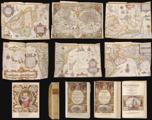
Histoire de la Navigation. / Le Grand Routier de Mer. / Description de l'Amerique.
$65,000.00
Acquire
This is a beautiful, lavishly illustrated and colored, 1638 French-text edition of one of the most important and influential geographical works: Jan Huygen van Linschoten's Itinerario. More than any other text, Linschoten's assemblage of charts, sailing instructions, and sociological observations revealed - first to the Dutch, then to the rest of Europe - the path to the Spice Islands of the East Indies. This book was instrumental in breaking the Portuguese monopoly on the East India trade, and led directly to Dutch supremacy in world trade. Its significance was recognized immediately, and Dutch trading companies supplied copies to each ship sailing east. The Dutch owe their Golden Age of the 17th century to the secrets Linschoten revealed in this work. (more details)
Foundational Work in the History of the Atlas.
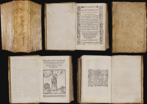
La Geografia, con alcuni comenti e aggiunte fattevi da Sebastiano Munstero, con le tavole non solamente antiche and moderne solite di sta(m)parsi, ma altre nuovo aggiuntevi di Jacopo Gastaldo, ridotta in volgare Italiano da Pietro Andrea Mattiolo.
$42,500.00
Acquire
This is Giacomo Gastaldi's 1548 La Geografia , the first iteration of Ptolemy's foundational ur-atlas to be published in a vernacular. It is the most important proto-atlas to be produced between Martin Waldseemüller's 1513 Ptolemy and Ortelius' 1570 Theatrum. Nordenskiöld hailed it 'the very first atlas of the New World,' citing the work's groundbreaking inclusion of separate maps of the Americas. The work bridges two pillars of Renaissance European geography: the Italian Gastaldi and the German Sebastian Münster. (more details)
Finest Engraved Plan of Paris in its Sole Original Edition.
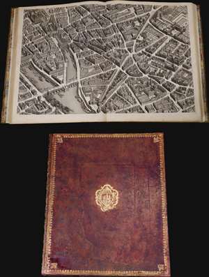
Plan de Paris Commence l’Annee 1734.... Leve et Desine par Louis Bretez Grave par Claude Lucas / Et Ecrit par Aubin.
$21,000.00
Acquire
This is Louis Bretez and Michel-Etienne Turgot's monumental 1739 map of Paris, in a beautiful, bound example. Turgot's map of Paris - possibly the most ambitious urban mapping ever undertaken - shows the whole of 18th century Paris, offering an unparalleled view of the city prior to the 19th century redesign by Baron Georges Eugène Haussmann: every structure within the city at the time is here depicted. Turgot, who held the mayor-like office of Prevôt des Marchands de Paris , commissioned Louis Bretez and Claude Lucas to produce this map. Oriented to the east on an axonometric projection, this map is best understood as an aerial view in which every building, window, tree, shadow, and park are shown from an equidistant aerial perspective. In order to produce the thousands of sketches and surveys required to complete this map, Bretez was issued a permit to enter every building in Paris. It took the team nearly five years of exhaustive sketching and surveying to assemble this masterpiece. (more details)
The best introduction to Cosmography, in a complete, original example.
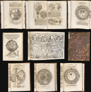
Cosmographia Petri Apiani, Per Gemmam Frisium apud Louanienses Medicum et Mathematicū insignem, iam demum ab omnibus vindicata mendis, ac nonnullis quoque locis aucta. Additis eiusdem argumenti libellis ipsius Gemmae Frisij.
$11,000.00
Acquire
- Digital Map Information
- Suitable for large format printing
- Full resolution TIFF file
- ICC color profile embedded
- Delivered instantly via download link
This is Gemma Frisius' 1564 edition of Peter Apian's Cosmographia, which from 1524 was the essential scholarly introduction to the world and its place in the cosmos. This concise text touched on astronomy, geography, cartography, and navigation. It was not a rote copy of Apianus' text, with significant commentary from Gemma, as well as that scholar's own world map. The text includes its five volvelles, all assembled and in their original condition. These manipulable diagrams are often found missing parts or replaced in facsimile; the condition of these here represents a remarkable survival. (more details)
'A system of subways for street cars, at least in the congested districts, is an essential if Chicago is to have good, comfortable, and rapid transportation.' M. J. Foreman
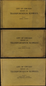
This is an unprecedented and comprehensive 1909 Milton J. Foreman 3-volume feasibility study on the construction of several new subway lines in Chicago. This exhaustive and overwhelming report, enclosed in three massive volumes, contains dozens of maps, charts, and diagrams detailing every factor to be considered in estimating the feasibility, cost, and benefit of both new subway lines and a high-pressure fire deterrent water system for Chicago. (more details)
First Swedish printed description of the Americas.
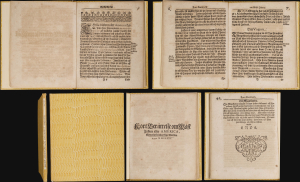
This rare volume is the first and only edition of Ambrosius Svenonis Nidelberg's 1675 description of the New World: it is the earliest substantial Swedish printed work pertaining to America. Sabin described it as 'one of the scarcest of the Swedish typographical productions of the seventeenth century on America.' The work is both geographical and ethnographic: it is the first Swedish description of North America's indigenous population. In particular, it is the first Swedish description of the English colonies in Bermuda and Virginia. (more details)
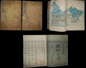
Entitled Kokugun Zenzu and printed c. 1838 (Tenpo 9), this is an early Japanese atlas of exceptional rarity, beauty and importance. Compiled by Motonobu Aoo and Toshiro Eirakayu based upon the works of Japan's 18th century master cartographer Ino Tadataka, this set ... (more details)
One of the few atlas printed in the Confederacy during the Civil War.

Johnson's New Illustrated (Steel Plate) Family Atlas.
$3,500.00
Acquire
- Digital Map Information
- Suitable for large format printing
- File Size: 33.49 MB
- File Type: ZIP / TIFF
- ICC color profile embedded
- Delivered instantly via download link
A rare Richmond-issue Civil War edition of Johnson's New Illustrated (Steel Plate) Family Atlas published in Richmond in 1861. It is one of the only atlases published in the Confederacy during the American Civil War (1861 - 1865). (more details)
Dawn of Modern New York City.
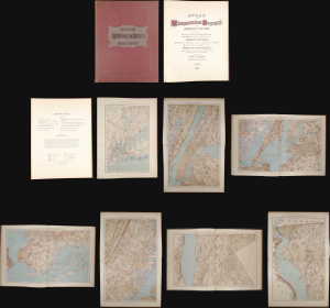
This is a stunning elephant folio chromolithograph atlas of New York City and environs by Julius Bien and C. C. Vermeule, dated 1891. It captures New York City and its surrounding area during a period of frenetic growth and modernization, which, in the following years, led to the consolidation of the five boroughs and the adoption of cutting-edge technology to facilitate the movement of people and goods through the metropolis. (more details)
The California Dream and Disneyland.
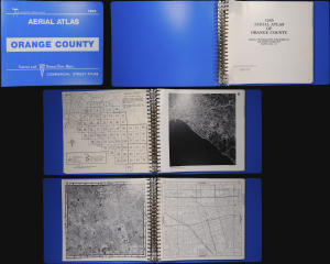
This is a first edition example of an unusual aerial photographic atlas of Orange County, California, published in 1985 by Air Photo Services in conjunction with Thomas Brothers. It depicts the communities of Orange County in gorgeous detail, providing visual evidence of the tremendous population boom underway at the time. (more details)
Statistical Mapping of Kenya at the End of the British Protectorate.
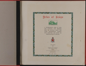
Atlas of Kenya: a comprehensive series of new and authentic maps prepared from the national survey and other governmental sources, with gazetteer and notes on pronunciation and spelling.
$1,100.00
Acquire
This is a first edition 1959 atlas of Kenya, produced by the Survey of Kenya. It was produced and published in Kenya under Douglas Ernest Warren, one of the most influential post-war surveyors working in Africa as Britain's colonies one-by-one achieved independence. (more details)
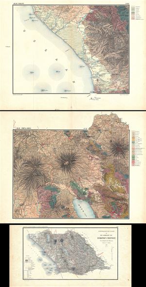
This is a beautiful 1883 topographical and geological atlas by C. F. Stemler of part of the west coast of Sumatra, Indonesia. Covers part of West Sumatra from Padang to Payakumbuh (Paja Koemboeh). The atlas includes: 1. Eight sheets of geological maps 2. Two ... (more details)
The Emirates' Earliest School Atlas.
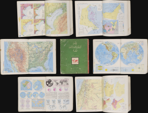
أطلس الامارات العربية المتحدة والعالم / [Atlas of the United Arab Emirates and the World].
$750.00
Acquire
This is a c. 1972 Arabic-language school atlas of the world with a focus on the United Arab Emirates, published by Said Sabbagh in Beirut. It is likely the earliest published atlas to specifically highlight the Emirates following their independence from Britain in late 1971. (more details)
Ugandan decolonization, independence, and national identity.
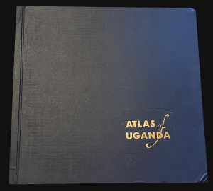
This is a 1962 atlas of the then-imminently-independent nation of Uganda. It was compiled, under the direction of Bruce B. Whittaker, by Uganda's Department of Lands and Surveys. The Atlas is significant in the process of decolonization and the establishment of a unified Ugandan national identity. (more details)
Innovative geographical textbook by the
'Master of the Margins.'
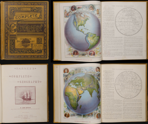
This is the 1885 edition of Barnes's Complete Geography, an influential geographical school atlas by the pioneering geographer James Monteith. The atlas is lavishly illustrated, utilizing the most advanced chromolithographic printing techniques to feature richly colored plates and maps. This textbook was foundational for American education in the late 19th century, with the atlas being present in as many as 80% of all schoolrooms. (more details)
Chicago to Cuba, and Everywhere in Between.
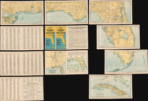
Map of Florida and the Gulf Coast including the territory from New Orleans to Havana.
$400.00
Acquire
- Digital Map Information
- Suitable for large format printing
- File Size: 127.29 MB
- File Type: ZIP / TIFF
- ICC color profile embedded
- Delivered instantly via download link
This is a 1926 map booklet or loose-leaf atlas of Florida, the Gulf Coast, and Cuba, prepared by Poole Brothers. It is designed to promote the 'Dixie Flyer,' a collaborative enterprise between three railroad companies that offered luxurious sleeper train service between Chicago and Jacksonville, with stops in St. Louis, Atlanta, and other cities. (more details)