
NEW ACQUISITIONS
Canadian Rocky Mountains by rail!
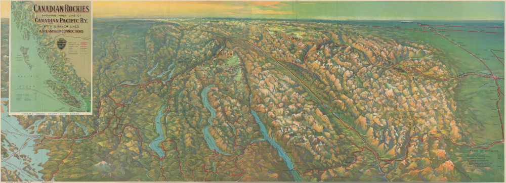
Panoramic Map of the Canadian Pacific Rockies. / Canadian Rockies Showing Main Line of Canadian Pacific Ry. with Branch Lines and Steamship Connections.
$400.00
Acquire
- Digital Map Information
- Suitable for large format printing
- Full resolution TIFF file
- ICC color profile embedded
- Delivered instantly via download link
This is a 1924 Canadian Pacific Railway (CPR) bird's-eye view map of the Canadian Rocky Mountains. The map highlights the CPR's efforts to promote tourism along its lines to the Canadian Rockys through the construction of grand hotels, spur lines, and other infrastructure. (more details)
Terminus of the Hippie Trail.

Kathmandu City. / Nepal Kathmandu.
$350.00
Acquire
This is a 1975 pictorial map of Kathmandu, Nepal, prepared by the Fine Art Printing Press for Nepal's Department of Tourism. It was produced at a time when the city was undergoing rapid changes, thanks in part to government modernization policies and in part to the influx of foreign tourists traveling the 'Hippie Trail.' (more details)
Stanley Turner's first War Events Map? Weeks before the Nazi invasion of Russia.
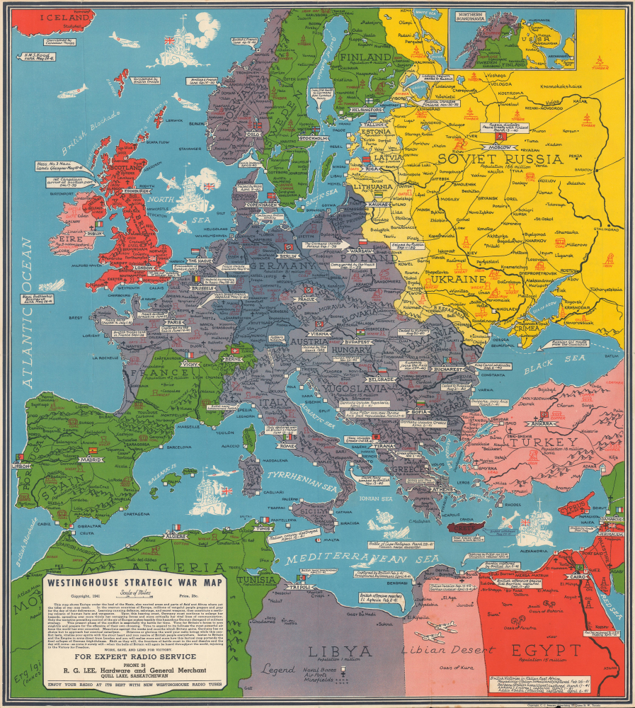
Westinghouse Strategic War Map.
$300.00
Acquire
- Digital Map Information
- Suitable for large format printing
- Full resolution TIFF file
- ICC color profile embedded
- Delivered instantly via download link
This is a 1941 Petersen / Westinghouse / Turner map of Europe embroiled in World War II (1939 - 1945), published weeks before the June 22, 1941, German invasion of the Soviet Union. The map chronicles events from the Anschluss of Austria in 1938 and the Nazi invasion of Poland on September 1, 1939, until June 3, 1942. While unsigned, this map was most likely drawn by Stanley Francis Turner, who went on to complete a popular series of similar maps for Westinghouse chronicling the progress of war. It is likely, thus, that this is Turner's first 'war map.' (more details)
Birthplace of the the Reformation.
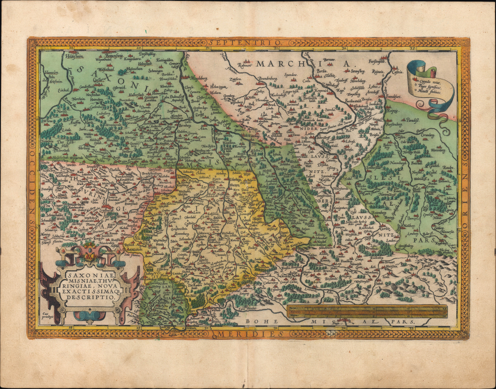
Saxoniae, Misniae, Thuringiae, Nova Exactissimaque Descriptio.
$300.00
Acquire
- Digital Map Information
- Suitable for large format printing
- Full resolution TIFF file
- ICC color profile embedded
- Delivered instantly via download link
This is an old-color 1595 map of large portions of what is now central Germany and Czechia, including Saxony, Thuringia, and Brandenburg, that appeared in Abraham Ortelius' Theatrum Orbis Terrarum. This region was the birthplace of Lutheranism and, by extension, the Protestant Reformation, being the stage upon which many of the key early events of the Reformation took place. (more details)
Japanese diplomatic and propaganda con-job on the Qing.

Detailed Map of Taiwan Field Survey. / 實地踏測台灣詳密地圖
$11,000.00
Acquire
- Digital Map Information
- Suitable for large format printing
- Full resolution TIFF file
- ICC color profile embedded
- Delivered instantly via download link
This 1895 Nakamura Yoshimatsu map of Taiwan is one of the most unsung but influential examples of persuasive cartography ever published. The large-scale map of Taiwan appeared at the end of the First Sino-Japanese War (August 1, 1894 - April 17, 1895), just prior to the Treaty of Shimonoseki (April 17, 1895) and the Japanese invasion of Taiwan (May 29, 1895 - October 21, 1895). The map, attributed to a likely fictional British naval officer named John Waters, employs creative cartography to reshape Taiwan, while retaining the overall area, effectively reducing the size of Qing-controlled Formosa and increasing the size of the ungoverned 'savage zones' - a ploy that played into the Japanese position that the Qing did not truly possess the island. It was likely presented at the Shimonoseki negotiations, where the Japanese were able to take advantage of Qing China's infamous lack of cartographic knowledge about Formosa to formally seize the island. This is the first edition of this map, published on January 20, 1895. It also accompanies the booklet Taiwan-tō Chishi-yō (臺灣島地誌撮要), a combination gazetteer of Taiwan and historiographical justification of the Japanese seizure of the island using Confucian political morality and just-war rhetoric. (more details)
Seminal Map heralding the birth of Qatar's Petroleum Industry.

Qatar Geological Map / خريطة قطر الجيولوجية.
$10,000.00
Acquire
This is a remarkable, very large-format 1970 bilingual three-sheet geological map of Qatar, prepared by an international team of geologists and published by Ali Mohammed Jaidah. It represents the first comprehensive geological survey of the country and therefore played an important role in the subsequent development of Qatar's oil and gas industry. (more details)
Pictorial representation of the Eastern Po Valley in during the Italian Wars.
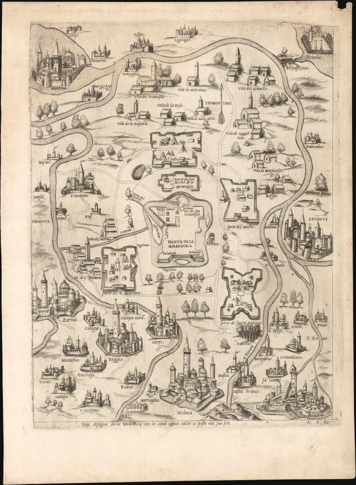
Vero disegno di Mirandola con li castelli, ville e poste su nei suol.
$9,500.00
Acquire
- Digital Map Information
- Suitable for large format printing
- File Size: 15.26 MB
- File Type: ZIP / TIFF
- ICC color profile embedded
- Delivered instantly via download link
This is a c. 1551 Lafreri-school map of the eastern Po Valley issued by Antonio Salamanca in Rome to illustrate the historic siege of Mirandola, a key episode in the Italian Wars (1494 - 1559) between the Papacy and the imperial interests of Valois France. The map is striking for its fine engraving and accurate vignette presentation of the Po Valley cities and those adjacent. (more details)
Birth of Qatar's Petroleum Boom, Prepared on the Eve of Independence.
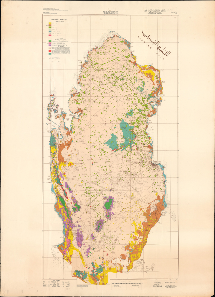
Qatar Geological Map / خريطة قطر الجيولوجية.
$8,000.00
Acquire
This is a stunning, large-format 1970 bilingual geological map of Qatar, prepared by an international team of geologists and published by Ali Mohammed Jaidah. It represents the first comprehensive geological survey of the country and therefore played an important role in the subsequent development of Qatar's oil and gas industry. (more details)
Hellish Property Dispute at Hell Gate.
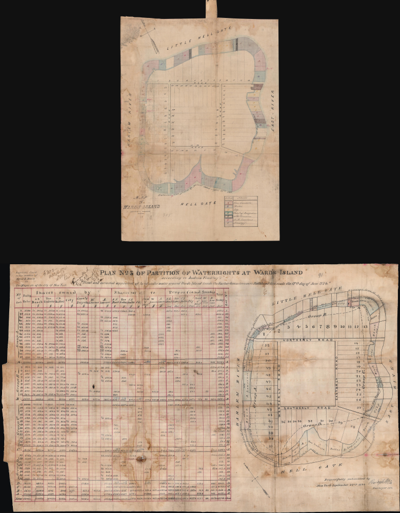
Map of Wards Island / Plan No. 3 of Partition of Waterrights at Ward's Island.
$4,000.00
Acquire
- Digital Map Information
- Suitable for large format printing
- Full resolution TIFF file
- ICC color profile embedded
- Delivered instantly via download link
This is a unique c. 1870 manuscript map and appraisal of property values on and around Wards Island (now part of Randalls and Wards Islands) in New York City prepared by surveyor Rudolph Rosa. It refers to an intense and consequential legal dispute over ownership of waters immediately surrounding the island, which at this time was primarily dedicated to hospitals and other institutions for people with physical and mental health problems. (more details)
Tibet between Independence and Incorporation.

(中學適用)西藏區地形掛圖 / Topographic Wall Map of Tibet (for Use in Middle Schools).
$2,500.00
Acquire
This is a scarce c. 1955 Chinese wall map of Tibet printed by the Chunghwa (or Zhonghua) Book Company in Shanghai and published by the China Cartographic Publishing House in the wake of the October 1950 invasion of Tibet by the People's Liberation Army. It was ostensibly drawn for classroom use in middle schools (中學適用), but the map is part of a broader effort to generate support for Chinese sovereignty over Tibet and legitimize their claims. (more details)
Challenging British Hegemony in the Indian Ocean.
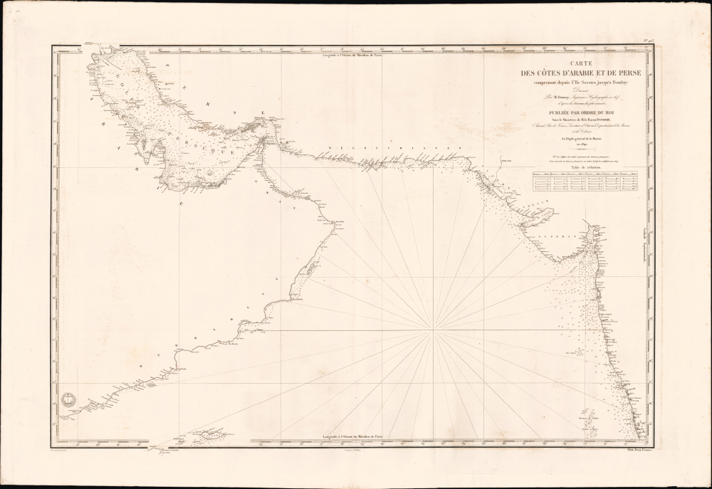
Carte des côtes d'Arabie, et de Perse, comprenant depuis l'Ile Socotra jusqu'à Bombay.
$2,500.00
Acquire
- Digital Map Information
- Suitable for large format printing
- File Size: 39.57 MB
- File Type: ZIP / TIFF
- ICC color profile embedded
- Delivered instantly via download link
This is a rare, large-format 1840 nautical chart of the Arabian Sea and Persian Gulf prepared by the French Dépôt Général de la Marine. At the time it was produced, France was trying to match Britian's growing dominance of the Indian Ocean, presenting itself to indigenous rulers as an alternative trading partner. (more details)
Detailing a Projected Annular Solar Eclipse.
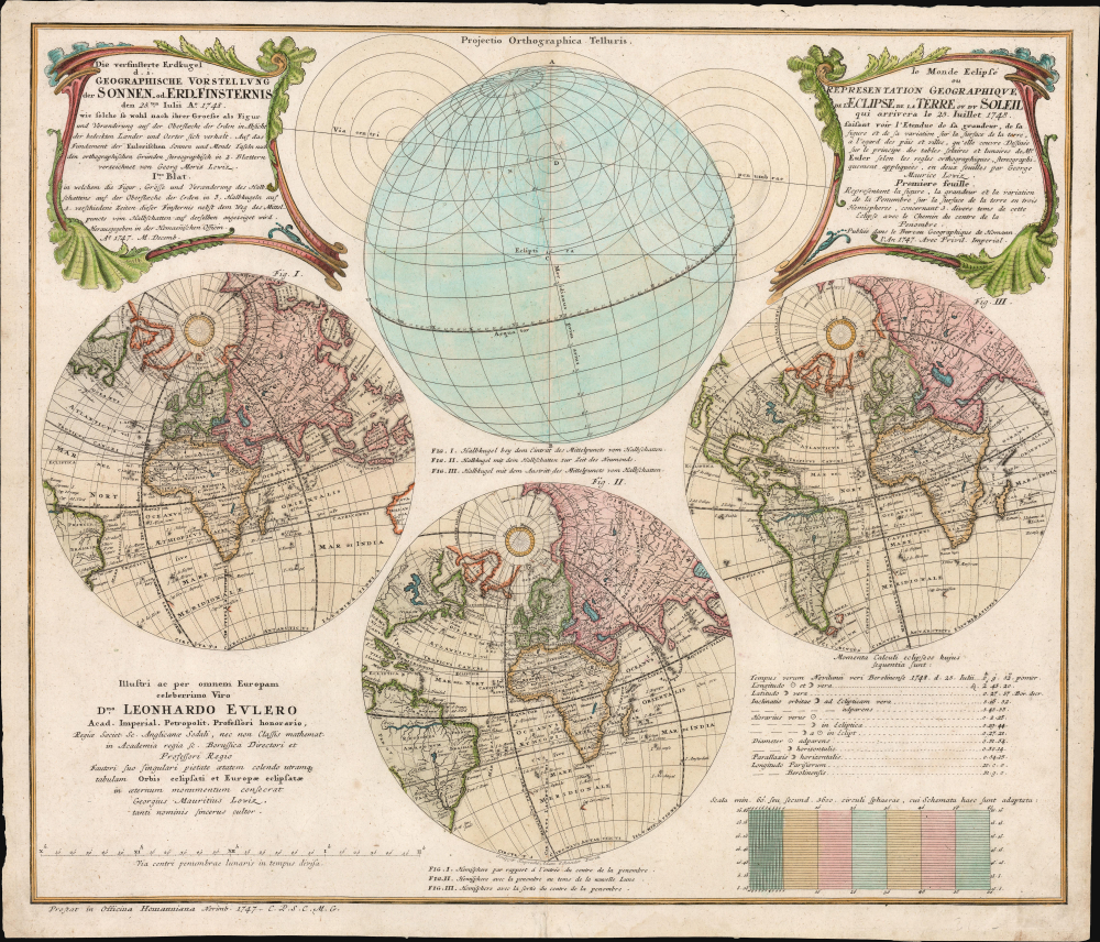
Die verfinsterte Erdkugel d. i. Geographische Vorstellung der Sonnen- od. Erd-Finsternis den 25ten Iulii Ao. 1748/ Le Monde Eclipse ou Representation Geographique de l'Eclipse De La Terre Ou Du Soleil qui arrivera le 25. Iuillet 1748.
$1,650.00
Acquire
- Digital Map Information
- Suitable for large format printing
- File Size: 25.93 MB
- File Type: ZIP / TIFF
- ICC color profile embedded
- Delivered instantly via download link
This is Georg Moritz Lowitz's 1747 celestial chart, projecting the annular solar eclipse of July 25, 1748. Published by the Nuremberg map printing house of Homann Heirs, this bilingual chart detailed the parts of the world from which the event would be visible, using a series of stereographic projections of the world to illustrate the track of the eclipse. An additional hemisphere illustrates the path of the center of the eclipse around the globe. (more details)
Detailing a Projected Lunar Eclipse.
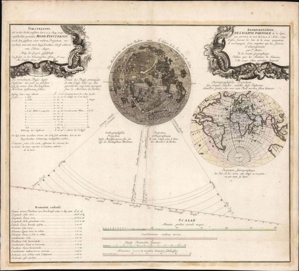
Vorstellung der in der Nacht zwischen den 8. u. 9. Aug. 1748 vorfallenden partialen Mond-Finsternis/ Représentation de l'Eclipse partiale de la Lune, qui arrivera la nuit du 8 au 9 d'Août, 1748.
$1,500.00
Acquire
- Digital Map Information
- Suitable for large format printing
- File Size: 25.94 MB
- File Type: ZIP / TIFF
- ICC color profile embedded
- Delivered instantly via download link
This is Tobias Mayer's 1748 celestial chart projecting the partial lunar eclipse of August 8 and 9, 1748. Published by the Nuremberg map printing house of Homann Heirs, this bilingual chart detailed the phases of the eclipse and the parts of the world from which the event would be visible. (more details)
America's Postwar Quasi-Occupation of China.

Know Your Way in Shanghai / China Edition Newsmap for U.S. Forces in China 19 Nov. 1945, Vol. 1, No. 1.
$1,200.00
Acquire
- Digital Map Information
- Suitable for large format printing
- File Size: 34.79 MB
- File Type: ZIP / TIFF
- ICC color profile embedded
- Delivered instantly via download link
This is a scarce 1945 Newsmap of Shanghai, China, issued to U.S. forces sent to the city in the wake of Japan's surrender in World War II (1939 - 1945). The U.S. servicemen (Marines, primarily) were sent to disarm Japanese troops and repatriate Japanese civilians, but instead were caught up in China's descent into civil war. (more details)
Foundational First Printed Image of Cusco.
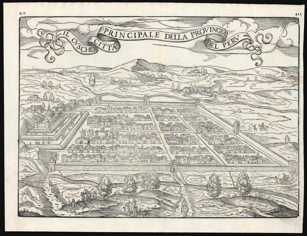
Il Cuscho Citta Principale Della Provincia Del Peru.
$750.00
Acquire
- Digital Map Information
- Suitable for large format printing
- File Size: 13.55 MB
- File Type: ZIP / TIFF
- ICC color profile embedded
- Delivered instantly via download link
This is the scarce 1565 issue of Giovanni Battista Ramusio's map of Cusco (Cuzco), Peru; it is the second edition of the first printed plan of the city based on a firsthand report. This image served as the basis for most illustrations of the city for nearly two centuries. It results from the report of the then-secretary to Francisco Pizarro, Pedro Sancho de la Hoz, who accompanied Pizarro in the conquest of Peru and wrote the first account of it on his return to Spain in 1534. That account was not printed until 1556, when Ramusio translated it into Italian. (more details)
A dramatic previously uncatalogued bird's-eye view published for Long Island Chevrolet dealers.
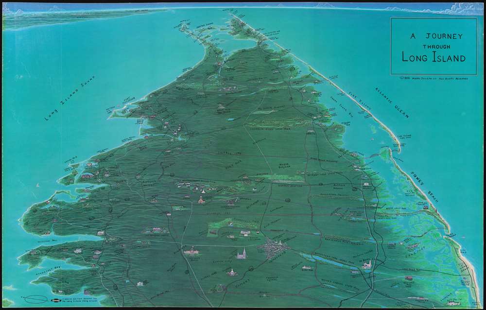
A Journey through Long Island.
$750.00
Acquire
This is a dramatic previously uncataloged 1980 Mark-Joseph Company bird's-eye view map of eastern Long Island, including all of Suffolk County. Overlooking Long Island from high above Queens County, likely sites one would visit while on a 'journey through Long Island' appear. The Long Island Railroad snakes its way east, all the way to Montauk and Orient Park. Printed as a special edition for Long Island Chevrolet dealers, of which there are half a dozen today, the region's road network is emphasized, likely to show just how easy it was to explore the area. One wonders if there were more dealers in the area in 1980. Major roads are all labeled, including State Route 25A, 25, 454, 27, and 27A, allowing day trippers an overview of how best to reach their desired destination. Both MacArthur Airport and Republic Airport are illustrated, as are the Theodore Roosevelt Burial Ground, the Belmont Race Track, numerous museums, the Montauk and Orient Lighthouses, and Shelter Island. County lines appear in dark gray, making them more difficult to discern than the roads or the LIRR. Jones Beach and Fire Island are both illustrated. (more details)
Italian propaganda celebrating Japanese successes during the Second Sino-Japanese War.
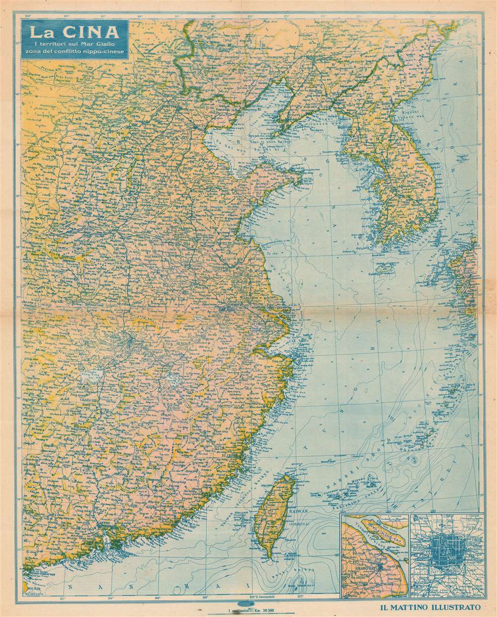
La Cina I Territori sul Mar Giallo zona del conflitto nippo-cinese.
$750.00
Acquire
- Digital Map Information
- Suitable for large format printing
- File Size: 45.77 MB
- File Type: ZIP / TIFF
- ICC color profile embedded
- Delivered instantly via download link
This is a 1937 Italian Il Mattino Illustrato map of China depicting the theater of the Second Sino-Japanese War (1937 - 1945). This propaganda piece was issued by Mussolini's Italian fascist regime to support its allies in Asia. Insets of both Beijing and the environs of Shanghai are situated in the lower right. Photographs printed on the verso depict Japanese troops marching Chinese prisoners, Japanese tanks, and a view of burning Shanghai from the International Concession. (more details)
Final stages of the Philippine Campaign.
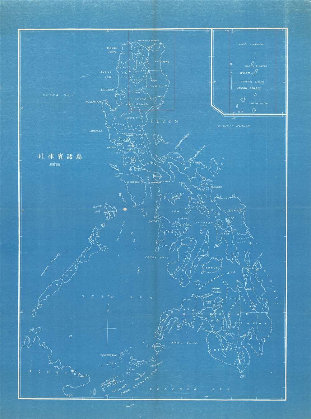
Philippine Islands. / 比律賓諸島
$750.00
Acquire
- Digital Map Information
- Suitable for large format printing
- File Size: 29.53 MB
- File Type: ZIP / TIFF
- ICC color profile embedded
- Delivered instantly via download link
An unusual c. 1945 cyanotype map of the Philippines issued by the Japanese during the latter stages of the Philippine Campaign. Northeastern Luzon and the Luzon Strait - between the Philippines and Japanese-controlled Taiwan is highlighted in manuscript, underscoring its significance to Imperial Japanese forces in the final stages of the Philippine Campaign, when they were being systematically driven out of the archipelago. The map is too simplistic to be useful strategically or tactically, and so is likely a general orientation map issued for Japanese troops. (more details)
Vexillological chromolithograph.
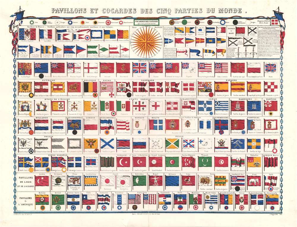
Pavillons et Cocardes des Cinq Parties du Monde.
$500.00
Acquire
- Digital Map Information
- Suitable for large format printing
- File Size: 26.82 MB
- File Type: ZIP / TIFF
- ICC color profile embedded
- Delivered instantly via download link
A vexillological chromolithographic delight, this is a rare separate issue c. 1862 flag chart. Flags are organized by region, with French flags at the top, followed by those of England and other European powers, which in turn are followed by African, Asian, and American flags. Among the more interesting flags are the Russian Postal Ensign, the white elephant flag of Siam (Thailand), the Cockerel flag of Pegu (Burma), and the Dragon flag of China. A large wind rose appears at top center. (more details)
The City Different.

Historic Santa Fe New Mexico.
$450.00
Acquire
This is a colorful 1993 pictorial view of Santa Fe, New Mexico, by artist Paul Shaffer, operating as Mister Maps. It celebrates Santa Fe's identity as one of the oldest settlements in the United States and its unique culture combining Native American, Spanish, and Anglo/American elements. (more details)