
NEW ACQUISITIONS
Los Angeles City Oil Field at its peak.
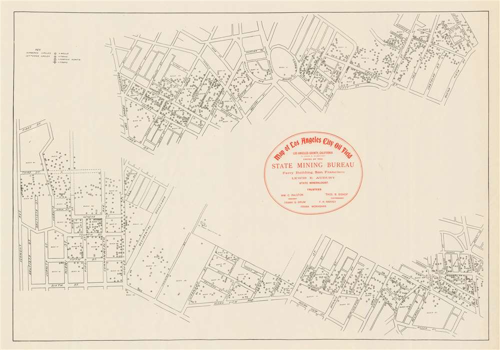
Map of Los Angeles City Oil Field Issued by the State Mining Bureau.
$600.00
Acquire
- Digital Map Information
- Suitable for large format printing
- File Size: 12.22 MB
- File Type: ZIP / TIFF
- ICC color profile embedded
- Delivered instantly via download link
This is a scarce c. 1905 State Mining Bureau map of the Westlake, Los Angeles, detailing California's most productive oil field. It captures the heyday of the Los Angeles City Oil Field, before production declined and the area was redeveloped into industrial and residential zones. (more details)
Theatre of War in the French Alps.

Tabula Delphinatus Vulgo Le Gouvernement General Du Dauphiné: In Suos Ballifiatus et Regiones divisus.
$550.00
Acquire
- Digital Map Information
- Suitable for large format printing
- File Size: 25.56 MB
- File Type: ZIP / TIFF
- ICC color profile embedded
- Delivered instantly via download link
This is an early state of Johann Baptist Homann's 1707 map of the Dauphiné, France, during the War of the Spanish Succession (1701 - 1714). This was an active theater of the war: following Savoy's change of allegiance from Bourbon to Habsburg, Savoy invaded the Dauphiné. (more details)
Romania's 'Hungarian Lands'.
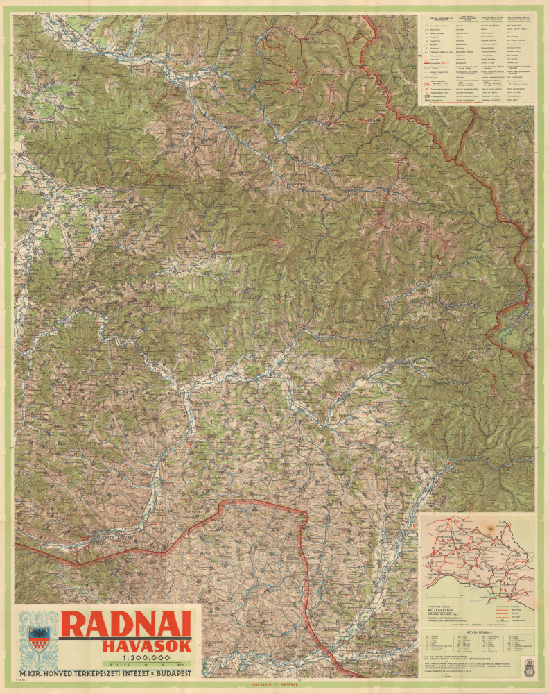
Radnai Havasok.
$275.00
Acquire
- Digital Map Information
- Suitable for large format printing
- File Size: 80.99 MB
- File Type: ZIP / TIFF
- ICC color profile embedded
- Delivered instantly via download link
This is a large-format 1942 map of the Rodna Mountains in the Eastern Carpathians produced by the Royal Hungarian Institute of Military Cartography. An example of wartime cartographic propaganda, the map both reflected and helped cement the control of this region by Hungary, to which it was granted in the Second Vienna Award of 1940, an 'agreement' brokered by Nazi Germany and Fascist Italy. (more details)
Land of Fun and Produce.
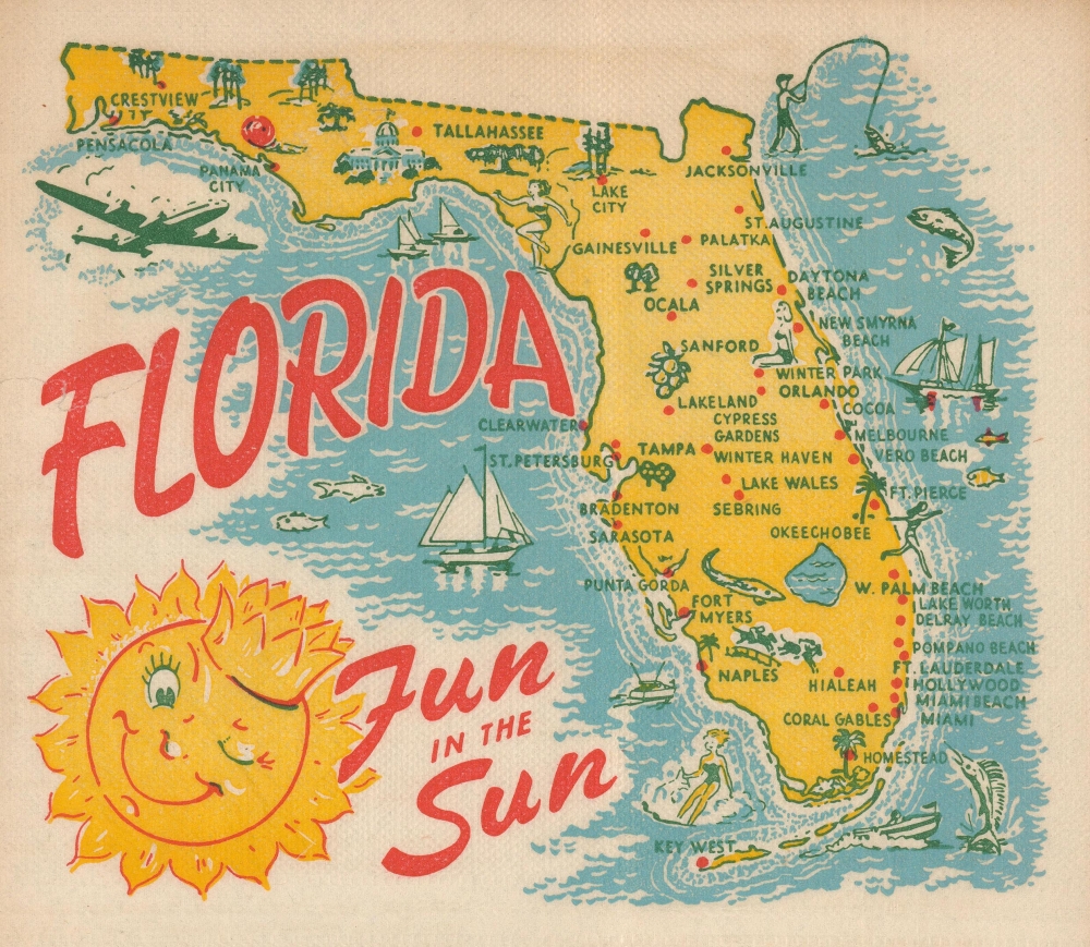
Florida Fun In The Sun.
$180.00
Acquire
This is a 1954, 'Map-Nap' of the state of Florida. This colorful map, printed on a napkin, marks principal cities, and is decorated pictorially with ships, sailboats, speedboats, water skiers, fishing scenes, flora, and fauna. A jolly, regal sun blazes down upon the state. The reverse fold lists an array of 'Facts about Florida,' offering information of the state's size, population, produce, and industry. (For example, the reader learns that 'Florida waters supply virtually all of the sponges harvested in the U.S.') (more details)
Key sites in the Atlantic Slave Trae.

Colonies Françaises (en Afrique).
$175.00
Acquire
- Digital Map Information
- Suitable for large format printing
- File Size: 16.35 MB
- File Type: ZIP / TIFF
- ICC color profile embedded
- Delivered instantly via download link
This is a 1847 Victor Levasseur map of the French colonies of Madagascar, Senegal, and the Gambia. The map captures key sites associated with the Atlantic Slave Trade, including the infamous Gorée. (more details)
The Golden State.
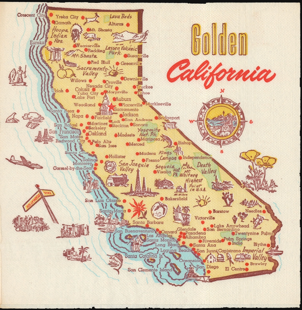
Golden California.
$150.00
Acquire
This is a 1954, 'Map-Nap' of the state of California from an obscure but fascinating national series of placements. (more details)
Did you know it was the Gopher State? Now We Do!
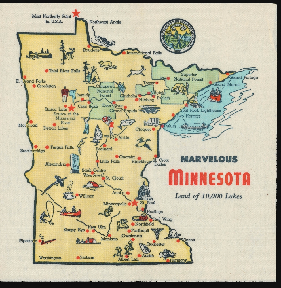
Marvelous Minnesota Land of 10,000 Lakes.
$125.00
Acquire
This is a 1954, 'Map-Nap' of the state of Minnesota from an obscure but fascinating national series of placements. (more details)
Land Of Ten Million Ducks.
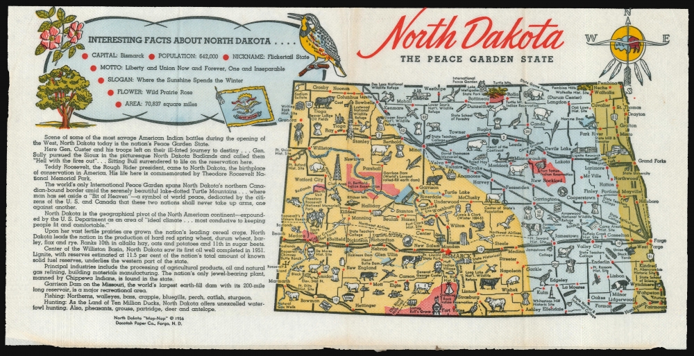
North Dakota The Peace Garden State.
$125.00
Acquire
This is a 1956 'Map-Nap' of the state of North Dakota. (more details)
Last surviving of the Seven Wonders of the Ancient World.

Pyramids of Geezeh.
$4,000.00
Acquire
- Digital Map Information
- Suitable for large format printing
- File Size: 17.81 MB
- File Type: ZIP / TIFF
- ICC color profile embedded
- Delivered instantly via download link
A scarce 1848 David Roberts' dramatic hand-tinted lithographic view of the Great Pyramids of Giza, Egypt - considered one of his most influential and iconic images. Roberts' work was influential in driving the Orientalism movement in 19th-century Europe. (more details)
Colonial history and rugged New England beauty.
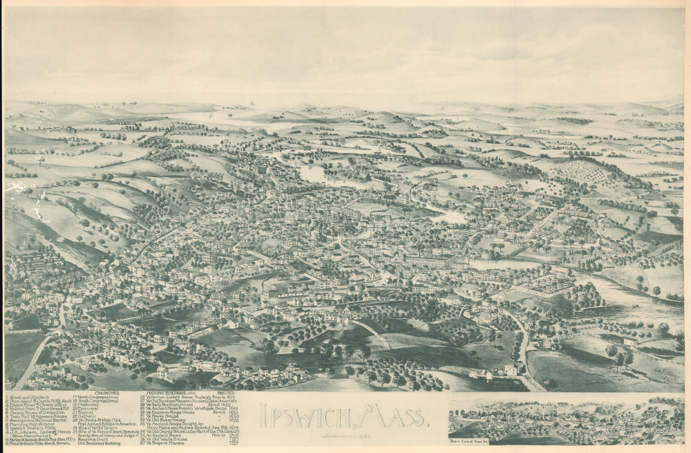
Ipswich, Mass. Incorporated 1634.
$3,500.00
Acquire
- Digital Map Information
- Suitable for large format printing
- File Size: 17.84 MB
- File Type: ZIP / TIFF
- ICC color profile embedded
- Delivered instantly via download link
A striking 1893 bird's-eye view map of Ipswich, Massachusetts. The view captures Ipswich during its transition from a maritime center to an industrial hub focused on shoemaking and textiles. Other parts of Ipswich, such as Crane Beach and Castle Hill, illustrated here on the horizon, were beginning to emerge as elite enclaves for summer visitors. Ipswich remains a well-preserved historical town to this day, with many of the buildings illustrated here still standing. (more details)
Baroque Masterpiece in the Mapping of Asia.
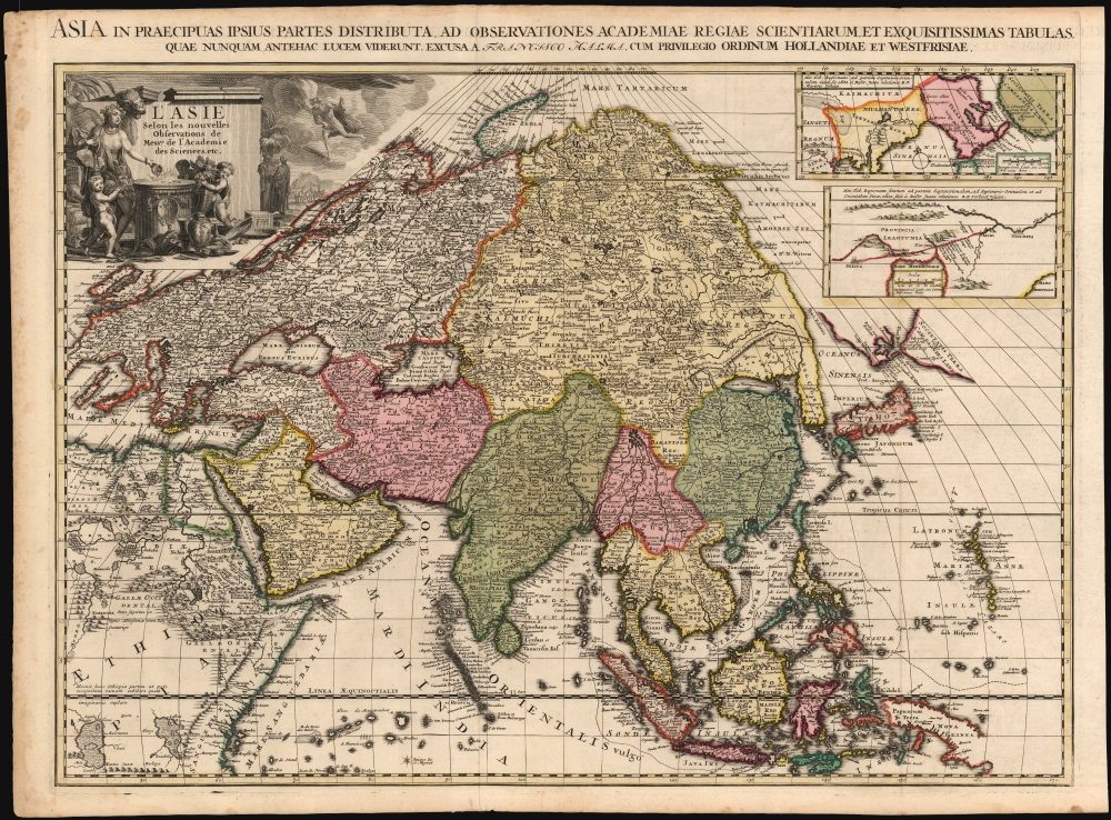
L'Asie selon les nouvelles Observations de Messrs. de l'Académie Royale des Sciences, etc./ Asia in praecipuas ipsius partes distributa, ad observationes academiae regiae scientiarum, et exquisitissimas tabulas, quae nunquam antehac lucem viderunt, Excusa A Francisco Halma, cum privilegio ordinum Hollandiae et westfrisiae.
$3,500.00
Acquire
- Digital Map Information
- Suitable for large format printing
- Full resolution TIFF file
- ICC color profile embedded
- Delivered instantly via download link
This is the rare first state of François Halma's c. 1699 separately issued map of Asia. Its unusually large folio size, bold and sophisticated engraving, and rich original color set this map apart as one of the most beautiful late-17th-century maps of the continent. (more details)
Earliest and most desirable printed map of Taiwan / Formosa.
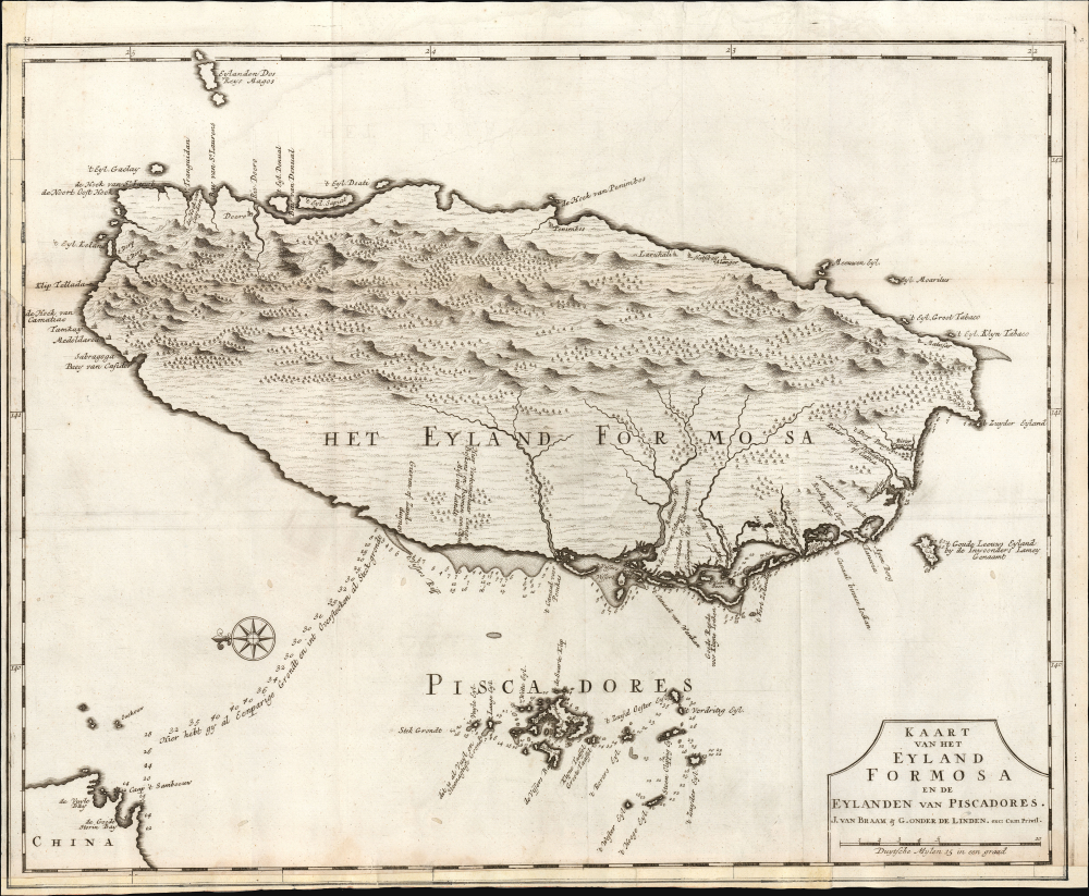
Kaart van het Eyland Formosa en de Eylanden van Piscadores.
$3,000.00
Acquire
- Digital Map Information
- Suitable for large format printing
- File Size: 22.09 MB
- File Type: ZIP / TIFF
- ICC color profile embedded
- Delivered instantly via download link
Printed in 1726 by Francois Valentijn, this is the earliest and most desirable printed map of Formosa (Taiwan). It is considered the first specific printed map of Formosa. (more details)
Only recorded bird's-eye view of Ridgefield.
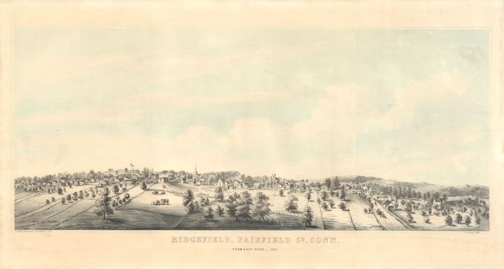
Ridgefield, Fairfield Co, Conn. From East Ridge. _ 1953.
$3,000.00
Acquire
- Digital Map Information
- Suitable for large format printing
- File Size: 18.39 MB
- File Type: ZIP / TIFF
- ICC color profile embedded
- Delivered instantly via download link
An unrecorded 1853 C. Kelsey and G. Hawyard 2-color chromolithograph bird's-eye view of Ridgefield, Fairfield County, Connecticut. Today, Ridgefield is considered one of Connecticut's most beautiful and historic towns, known for its well-preserved colonial downtown. (more details)
Cartographic Design Genius - two maps, at different scales, superimposed upon one another.
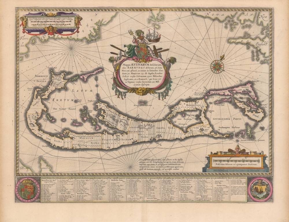
Mappa Aestivarvm Insularum, alias Barmudas.
$2,500.00
Acquire
- Digital Map Information
- Suitable for large format printing
- DPI: 600
- File Size: 51.37 MB
- File Type: ZIP / TIFF
- ICC color profile embedded
- Delivered instantly via download link
This is the classic 17th-century Dutch map of Bermuda: Willem Blaeu's map of the 'Summer Isles', here with superb old color. Engraved in 1630, Blaeu's version of Richard Norwood's chart is the most richly decorative to see print. Moreover, it is a marvel of cartographic design, in fact being two maps, on different scales, superimposed upon one another. (more details)
Catholic missions around Shanghai. AND, a unique alluvial island.
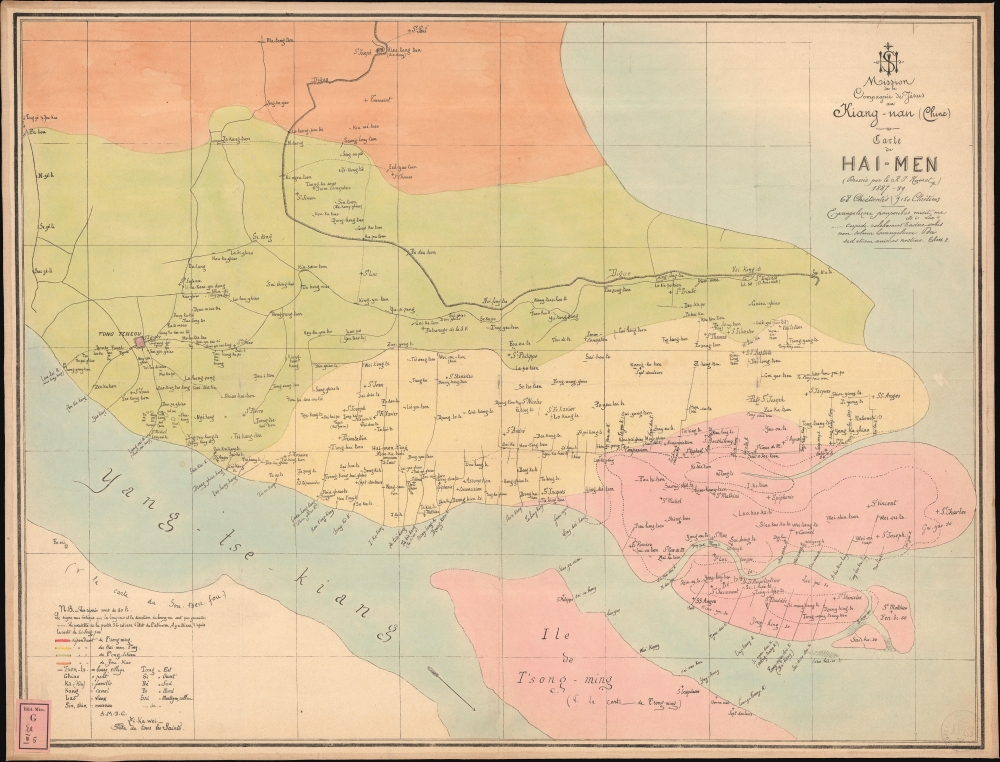
Mission de la Compagnie de Jesus au Hiang-Nan (Chine). / Carte de Hai-Men (Dressee par le R.J Havret) 1887-89.
$2,500.00
Acquire
- Digital Map Information
- Suitable for large format printing
- File Size: 497.66 MB
- File Type: ZIP / TIFF
- ICC color profile embedded
- Delivered instantly via download link
This is a c. 1889 French Jesuit map of Nantong (南通), Hai-men (海门), and the island of Chongming (崇明岛), on the opposite side of the Yangtze River from Shanghai, China. It is one of the maps produced at the Xujiahui Library (Zi-ka-wei) by the Jesuit priest Henri Havret for his 1892 study of the historical formation and settlement of the alluvial Chongming (Tsong Ming) Island. The map also serves as a unique record of missionary activity near Shanghai, recording the sites of hundreds of new churches and missions. (more details)
D'Anville's influential mapping of Africa.
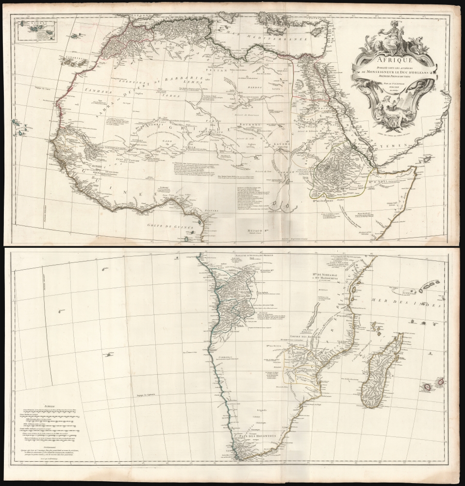
Afrique Publiée sous les Auspices de Monseigneur le Duc D'Orléans Prémier Prince du Sang.
$2,000.00
Acquire
- Digital Map Information
- Suitable for large format printing
- File Size: 73.62 MB
- File Type: ZIP / TIFF
- ICC color profile embedded
- Delivered instantly via download link
This is Jean-Baptiste Bourguignon d’Anville's 1749 map of Africa, one of the largest and most influential maps of the continent to appear in the 18th century. (more details)
Suppressed and groundbreaking first edition!
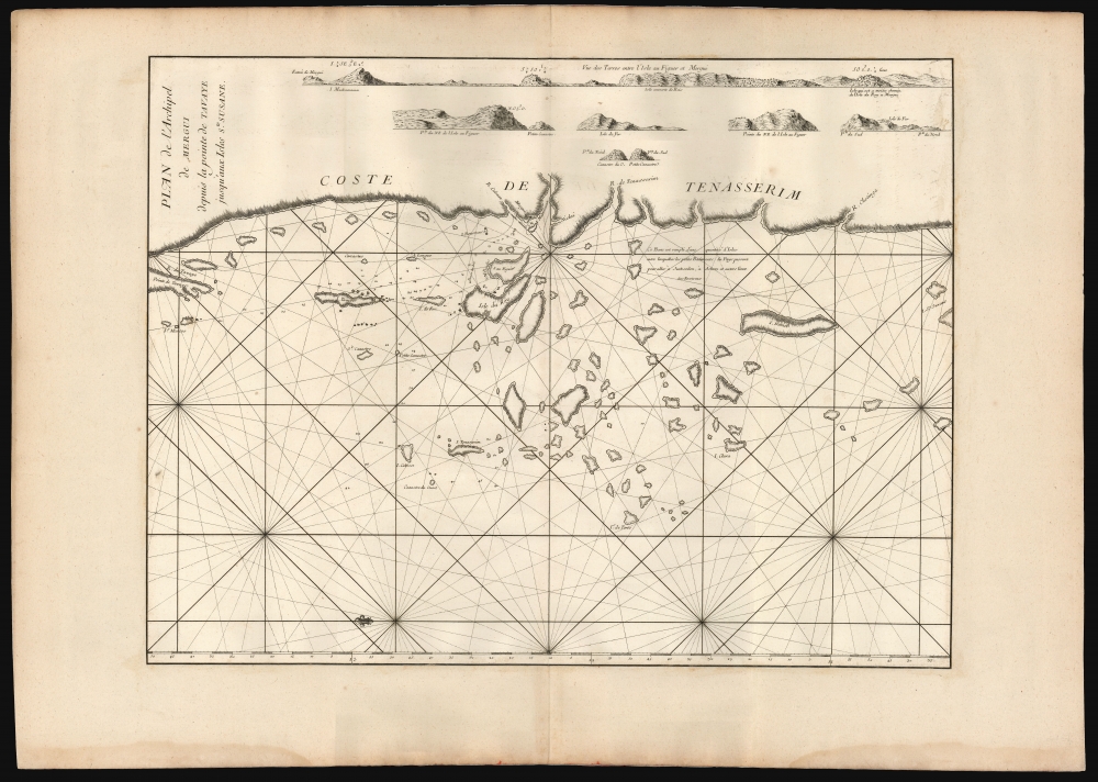
Plan de l'Archipel de Mergui depuis la pointe de Tsavaye jusqu'aux Isles Ste. Susane.
$1,800.00
Acquire
- Digital Map Information
- Suitable for large format printing
- File Size: 29.95 MB
- File Type: ZIP / TIFF
- ICC color profile embedded
- Delivered instantly via download link
This is the 1745 first edition of D'Après de Mannevillette's groundbreaking map of the Mergui archipelago on the coast of southern Burma - this nautical chart is so significant that it and all other maps in the 1745 edition were immediately censored with most examples systematically destroyed, making this a find of the utmost rarity not to be confused with the more common 1775 Mannevillette charts. It is the first printed map to show the region in detail and to include evidence of firsthand navigation. For Southeast Asia, in particular, Mannevillette's 1745 nautical atlas was 'immediately recognised as being superior to all previous maps of Southeast Asian coasts' (Suárez, p.238). (more details)
Massive Pre-War map of Japan's imperial ambitions.
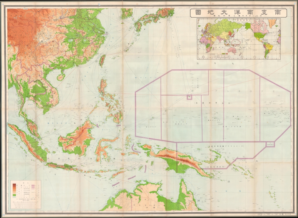
最新南支南洋大地圖 / [Latest Map of Southern China, Southeast Asia, and Northern Australia].
$1,800.00
Acquire
- Digital Map Information
- Suitable for large format printing
- Full resolution TIFF file
- ICC color profile embedded
- Delivered instantly via download link
This is a very large and rare 1937 Kobayashi Matashichi map of southern China, Southeast Asia, and the South Pacific. The map anticipates Japanese interest in this vast and resource-rich region, an area soon to be engulfed in the Pacific War (1941 - 1945) and subsumed to Japanese imperial ambitions. Given its tremendous size and detail, it is likely this map was prepared for internal military use in anticipation of Japanese expansion into the Pacific, the East Indies, Southeast Asia, and China. Centered on the strategically critical Philippine Islands, coverage extends from Korea to Australia and from the Bay of Bengal to Micronesia. (more details)
Powerful Anti-Communist Cold War Propaganda.

'Gulag' - Slavery, Inc. The First Comprehensive, self-Authenticated Docu-Map of Forced Labor Camps in Soviet Russia.
$1,750.00
Acquire
- Digital Map Information
- Suitable for large format printing
- File Size: 25.9 MB
- File Type: ZIP / TIFF
- ICC color profile embedded
- Delivered instantly via download link
This is a 1947 Plain Talk propaganda poster of the Gulag labor and prison camp network in the Soviet Union. Maps depicting the Soviet Union’s network of forced labor camps, known as the Gulag, became iconic symbols of Cold War propaganda, serving as some of the most widely distributed and influential pieces of anti-Communist media in the West. (more details)
Stunning zinco photos of Saigon, its people, and environs
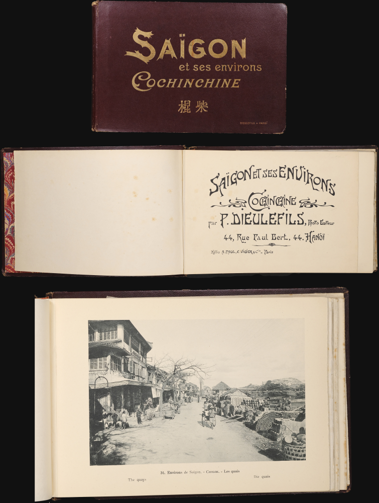
Saïgon et ses environs Cochinchine. 棍柴.
$1,200.00
Acquire
A stunning c. 1909 Pierre Dieulefils photo book of Saigon (Ho-Chi-Min City), French Indochina (Vietnam). The photos capture Saigon at the peak of its colonial decadence, but importantly, also focus on the Vietnamese people, illustrating a wide array of commercial and social activities ranging from port scenes in the Chinese enclave of Cholon to theater troupes and tribal guerrilla warriors. (more details)