
Fer, Nicholas de
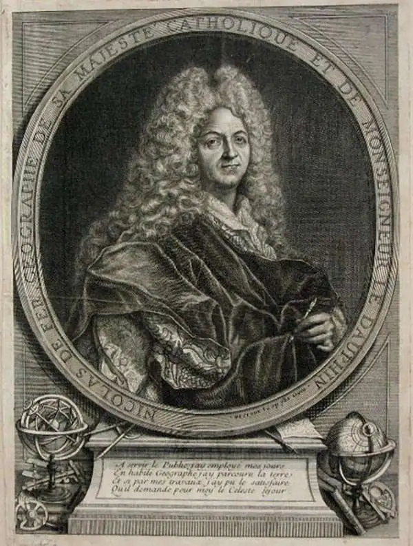
Nicholas de Fer (1646 - October 25, 1720) was a French cartographer and publisher, the son of cartographer Antoine de Fer. He apprenticed with the Paris engraver Louis Spirinx, producing his first map, of the Canal du Midi, at 23. When his father died in June of 1673 he took over the family engraving business and established himself on Quai de L'Horloge, Paris, as an engraver, cartographer, and map publisher. De Fer was a prolific cartographer with over 600 maps and atlases to his credit. De Fer's work, though replete with geographical errors, earned a large following because of its considerable decorative appeal. In the late 17th century, De Fer's fame culminated in his appointment as Geographe de le Dauphin, a position that offered him unprecedented access to the most up to date cartographic information. This was a partner position to another simultaneously held by the more scientific geographer Guillaume De L'Isle, Premier Geograph de Roi. Despite very different cartographic approaches, De L'Isle and De Fer seem to have stepped carefully around one another and were rarely publicly at odds. Upon his death of old age in 1720, Nicolas was succeeded by two of his sons-in-law, who also happened to be brothers, Guillaume Danet (who had married his daughter Marguerite-Geneviève De Fer), and Jacques-François Bénard (Besnard) Danet (husband of Marie-Anne De Fer), and their heirs, who continued to publish under the De Fer imprint until about 1760. It is of note that part of the De Fer legacy also passed to the engraver Remi Rircher, who married De Fer's third daughter, but Richer had little interest in the business and sold his share to the Danet brothers in 1721.
Rare Early State of an Elegant, French Map of the Western Hemisphere

L'Amerique, meridionale, et septentrionale Dressée selon les Dernieres Relations et suivant les Nouvelles Decouvertes dont les pounts prin= cipaux sont placez sur les Observations de Mrs. de l'Academie Royale des Sciences.
$2,500.00
Acquire
- Digital Map Information
- Suitable for large format printing
- Full resolution TIFF file
- ICC color profile embedded
- Delivered instantly via download link
This is Nicolas de Fer's 1699 map of America, in a lovely old color example of the second state, printed in 1705. Both of the first two states of this map were separately issued, and are consequently rare. This detailed and richly annotated map, derived from De Fer's own 1698 L'Amerique Divisée Selon Letendue de set Principales Parties, shows the Americas during a period in which France was dominant in the exploration and mapping of North America. Its superb engraving is the work of Harmanus Van Loon, who also engraved De Fer's larger-scale work. (more details)
A Classic Insular California Map.
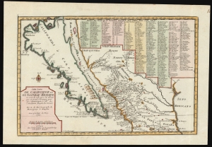
Cette Carte de Californie et du Nouveau Mexique...
$1,400.00
Acquire
- Digital Map Information
- Suitable for large format printing
- File Size: 8.35 MB
- File Type: ZIP / TIFF
- ICC color profile embedded
- Delivered instantly via download link
A landmark 1700 map showing California as an island and the first published dissemination of Fr. Eusebio Kino's groundbreaking explorations in New Mexico and California. (more details)
Baroque Masterpiece in the Mapping of America.
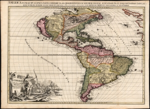
L'Amerique selon les Nouvelles Observations de Messrs. de l'Academie des Science, etc./ America in Praecipuas ipsius Partes Distributa, ad Observationes Academiae Regiae Scientiarum, et Exquisitissimas Tabulas, quae nunquam Antehac Lucem Viderunt, Excusa A Francisco Halma, Cum privilegio Ordinum Hollandiae et Westfrisiae.
$6,000.00
Acquire
- Digital Map Information
- Suitable for large format printing
- Full resolution TIFF file
- ICC color profile embedded
- Delivered instantly via download link
This is the rare first state of François Halma's c. 1699 separately-issued map of America. Its unusually large folio size, bold and sophisticated engraving, and rich original color set this map apart as one of the most beautiful late-17th-century maps of the Americas available to the collector. It dramatically presents some of the most notable geographic ideas of its era, including a prominent insular California after the Sanson model. The Great Lakes and the course of the Mississippi, as well as the rest of the American coastline, closely resembles that of Nicolas de Fer's 1699 L'Amerique. (more details)
Baroque Masterpiece in the Mapping of Asia.
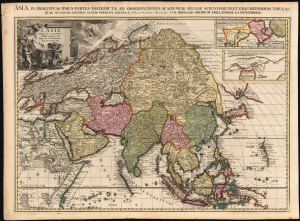
L'Asie selon les nouvelles Observations de Messrs. de l'Académie Royale des Sciences, etc./ Asia in praecipuas ipsius partes distributa, ad observationes academiae regiae scientiarum, et exquisitissimas tabulas, quae nunquam antehac lucem viderunt, Excusa A Francisco Halma, cum privilegio ordinum Hollandiae et westfrisiae.
$3,500.00
Acquire
- Digital Map Information
- Suitable for large format printing
- Full resolution TIFF file
- ICC color profile embedded
- Delivered instantly via download link
This is the rare first state of François Halma's c. 1699 separately issued map of Asia. Its unusually large folio size, bold and sophisticated engraving, and rich original color set this map apart as one of the most beautiful late-17th-century maps of the continent. (more details)
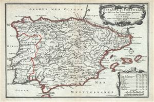
Espagne et Portugal Divises en ses Princiaples parties ou Royaumes.
$350.00
Acquire
- Digital Map Information
- Suitable for large format printing
- Full resolution TIFF file
- ICC color profile embedded
- Delivered instantly via download link
This is a beautiful 1701 map of Spain and Portugal by Nicholas De Fer. It covers the Iberian Peninsula as well as adjacent parts of France and Africa and prominently displays the Balearic Islands of Majorca, Minorca, and Ibiza. The map renders the entire region in ... (more details)
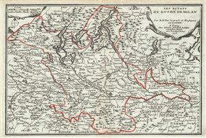
Les Estats du Duche de Milan.
$300.00
Acquire
- Digital Map Information
- Suitable for large format printing
- Full resolution TIFF file
- ICC color profile embedded
- Delivered instantly via download link
This is a scarce 1701 map of the Duchy of Milan in Northern Italy by Nicholas De Fer. Centered on the city of Milan, it covers the northern part of Italy from Lake Como south to Bobbio and from Turin east as far as Lake Garda. Includes parts of the regions of ... (more details)
Revealing Mexico's Fabled Silver Mines.
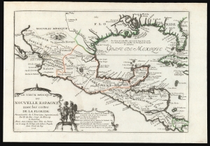
Le Vieux Mexique ou Nouvelle Espagne avec les costes de la Floride.
$1,000.00
Acquire
- Digital Map Information
- Suitable for large format printing
- File Size: 7.82 MB
- File Type: ZIP / TIFF
- ICC color profile embedded
- Delivered instantly via download link
This is Nicolas De Fer's 1705 map of Mexico, the Gulf Coast, and Florida. It illustrates French ambitions in the New World, particularly hopes to size and control the rich Mines of Santa Barbara. This map, and others like it, were subsequently influential in the inflation of the Mississippi Company - one of the world's first bubble economies. (more details)
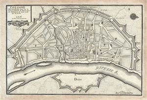
Cologne Ville Considerable Situee Sur le bord Occidentale du Rhein Capit. de l'Electorat de meme nom.
$300.00
Acquire
- Digital Map Information
- Suitable for large format printing
- DPI: 300
- File Size: 6.18 MB
- File Type: ZIP / TIFF
- ICC color profile embedded
- Delivered instantly via download link
This is a beautiful 1705 Nicholas de Fer map of the walled city of Cologne, Germany. Oriented with North to the right, this map identifies the location of the city on the banks of the Rhine River. Originally the capital city of the Roman province Germania ... (more details)
Home of yellow wine (vin jaune) and comté cheese.
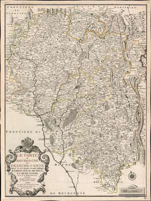
Le Comté de Bourgogne dit France-Comté Divisé en ses Quatres Grands Balliages d'Amont, d'Aval, de Dole, et de Besançon.
$500.00
Acquire
- Digital Map Information
- Suitable for large format printing
- Full resolution TIFF file
- ICC color profile embedded
- Delivered instantly via download link
This is a 1708 Nicholas de Fer map of Burgundy and Franche-Comté, France. Beautifully engraved, myriad cities, towns, and villages are labeled throughout the region, including Besançon, Dole, Vesoul, and Belfort. Mountains reference the region's incredible Jura Mountains and forests make clear the region's wooded nature. The Doubs, Saone, and Lougnon Rivers are illustrated and labeled as well. (more details)
Sanitation and Water Supply in 18th century Paris.
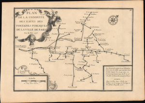
Plan de la conduite des eaües des fontaines publiques de la ville de Paris.
$650.00
Acquire
- Digital Map Information
- Suitable for large format printing
- File Size: 7.17 MB
- File Type: ZIP / TIFF
- ICC color profile embedded
- Delivered instantly via download link
This is a fascinating 1716 Nicholas de Fer schematic map of the aqueducts, fountains, and underground pipes of Paris, France. Paris was growing quickly at this time and faced a major challenge in that its water supply system was inadequate for its swelling population. The map addresses some of the immediate concerns of the period: sanitation and water supply. (more details)
Extremely Rare Italian map of Southeast Asia.
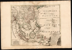
Penisola Dell Indie Orientali De La Del Gange Con Tutte l'Isole cosi Filippine della Sondaq, Ceilan, e Moluche Altre, seconde le Relationi piu moderne descritta da Nicolo De Fer.
$9,500.00
Acquire
- Digital Map Information
- Suitable for large format printing
- File Size: 26 MB
- File Type: ZIP / TIFF
- ICC color profile embedded
- Delivered instantly via download link
This is an exceptionally rare and beautifully engraved 1717 map of Southeast Asia by Neapolitan engraver Paolo Petrini, published in the composite atlas Atlante Partenopeo. Dated 1717, it presents Southeast Asia, the Philippines, and the East Indies after the cartography of the French mapmaker, Nicolas De Fer. (more details)
Basque country bastion.
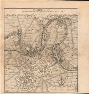
Pampelune : Ville Considerable d'Espagne, Capitale de la Haute Navarre.
$850.00
Acquire
- Digital Map Information
- Suitable for large format printing
- DPI: 600
- File Size: 33.82 MB
- File Type: ZIP / TIFF
- ICC color profile embedded
- Delivered instantly via download link
A 1719 Nicholas de Fer city plan or map of Pamplona, Spain, engraved by Antoine Coquart. The primary focus is the fortifications surrounding the city, a reflection of the recent War of the Spanish Succession. (more details)
Rare Glimpse of the Efforts to Comprehend Northeastern Asia.
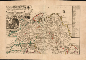
Les etats du Czar ou Empereur des Russes en Europe et en Asie...
$3,000.00
Acquire
- Digital Map Information
- Suitable for large format printing
- File Size: 38.72 MB
- File Type: ZIP / TIFF
- ICC color profile embedded
- Delivered instantly via download link
This large, beautiful, and rare map of the Russian Empire, engraved by Nicolas de Fer and published in 1722, is a fascinating revision of Nicolas Witsen's 1687 map of the Tatar Empire and Siberia. It incorporates the novel reports of Evert Ysbrandzoon Ides - derived from his journeys between Moscow and China - as well as the Central Asian voyage of Philippe Avril. (more details)