
Guarding the Frontier.
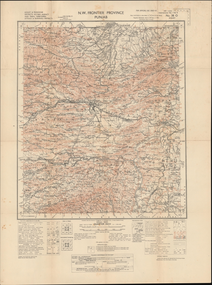
N.W. Frontier Province. Punjab. Kohat and Peshawar Districts, Khyber Agency and Tribal Territories. Attock and Mianwali Districts.
$1,500.00
Acquire
- Digital Map Information
- Suitable for large format printing
- File Size: 23.69 MB
- File Type: ZIP / TIFF
- ICC color profile embedded
- Delivered instantly via download link
A highly-detailed 1942 zincographed Survey of India map of parts of modern Pakistan, including what was then the North-West Frontier Province of British India and Punjab. It was made during the World War II (1939 - 1945) and reflects both the wartime situation, including both the war against Japan and the British attempt to retain control of India. (more details)
Routes across the Continent.
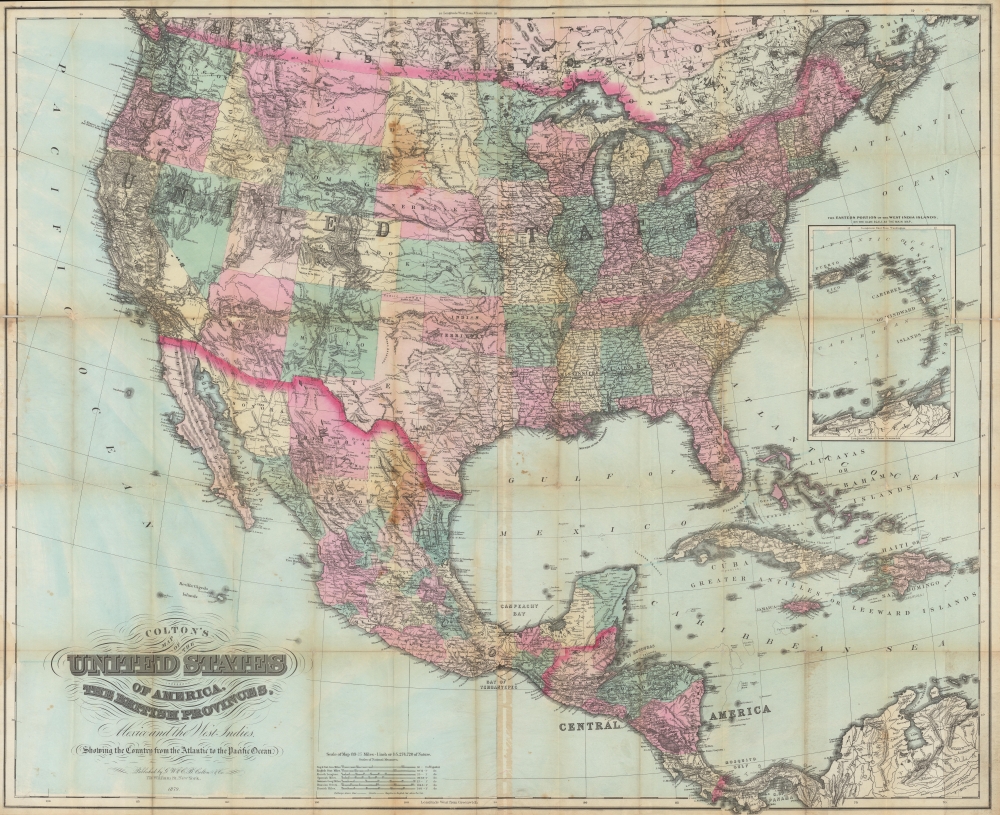
Colton’s map of the United States of America, the British provinces, Mexico and the West Indies. Showing the Country from the Atlantic to Pacific Oceans.
sold
- Digital Map Information
- Suitable for large format printing
- File Size: 78.13 MB
- File Type: ZIP / TIFF
- ICC color profile embedded
- Delivered instantly via download link
A scarce, unrecorded 1879 edition of Colton's large-format folding map of the United States, southern Canada, Mexico, Central America, and the Caribbean. It provides enlightening detail regarding the developing rail infrastructure of the western United States and the ongoing Indian Wars. (more details)
A Scarce, Early Western Map of Shanghai.
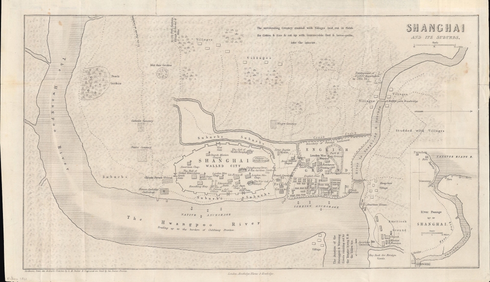
Shanghai and Its Suburbs.
sold
- Digital Map Information
- Suitable for large format printing
- File Size: 6.08 MB
- File Type: ZIP / TIFF
- ICC color profile embedded
- Delivered instantly via download link
An important early map of Shanghai in the Treaty Port Era (1842 - 1943), this is L. M. Becker's 1861 overview of the city which appeared in Rev. William C. Milne's book Life in China. It is considered one of the earliest western maps of Shanghai, dating to the period just prior to the merging of British and American concessions ('grounds') to form the International Settlement. (more details)
The post-revolutionary Dictatorship of Paraguay.
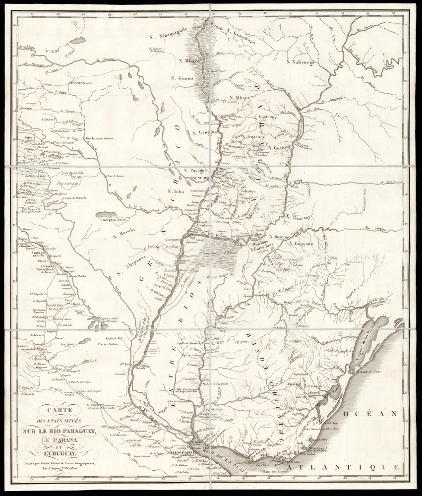
Carte des Etats Situés Sur Le Rio Paraguay, le Parana et L'Uruguay.
sold
- Digital Map Information
- Suitable for large format printing
- DPI: 600
- File Size: 37.74 MB
- File Type: ZIP / TIFF
- ICC color profile embedded
- Delivered instantly via download link
This is a scarce, folding map of Paraguay, Uruguay, and their neighboring regions, printed by Berthe to accompany J. R. Rengger's 1827 history of Paraguay and its first dictator. This region at the heart of South America was, in the 19th century, one of the least-known and most remote parts of the inhabited world. The map is derived from the 1809 work of Spanish border commissioner and military engineer Félix de Azara - Rengger was no cartographer, and Azara's work remained the best available. The map has been updated to reflect Rengger's reports, however, and as such it is the best cartographic depiction of Paraguay and its vicinity during the government of José Gaspar Rodríguez de Francia (lasting from 1811 until his 1840 death). (more details)
Japan at the Start of the Meiji Era.

大日本新撰道中全圖 / [New and Complete Traveling Map of Japan].
sold
- Digital Map Information
- Suitable for large format printing
- File Size: 38.84 MB
- File Type: ZIP / TIFF
- ICC color profile embedded
- Delivered instantly via download link
A splendid map of Japan by Inoue Mohei, dated to 1884 but very likely based on an earlier, c. 1870 map. It covers Japan and highlights the country's impressive highway network. More abstractly, it provides an important example of conceptions of Japanese identity at the start of the consequential Meiji Era (1868 - 1912), when the country underwent dramatic changes. (more details)
Unique data visualization.
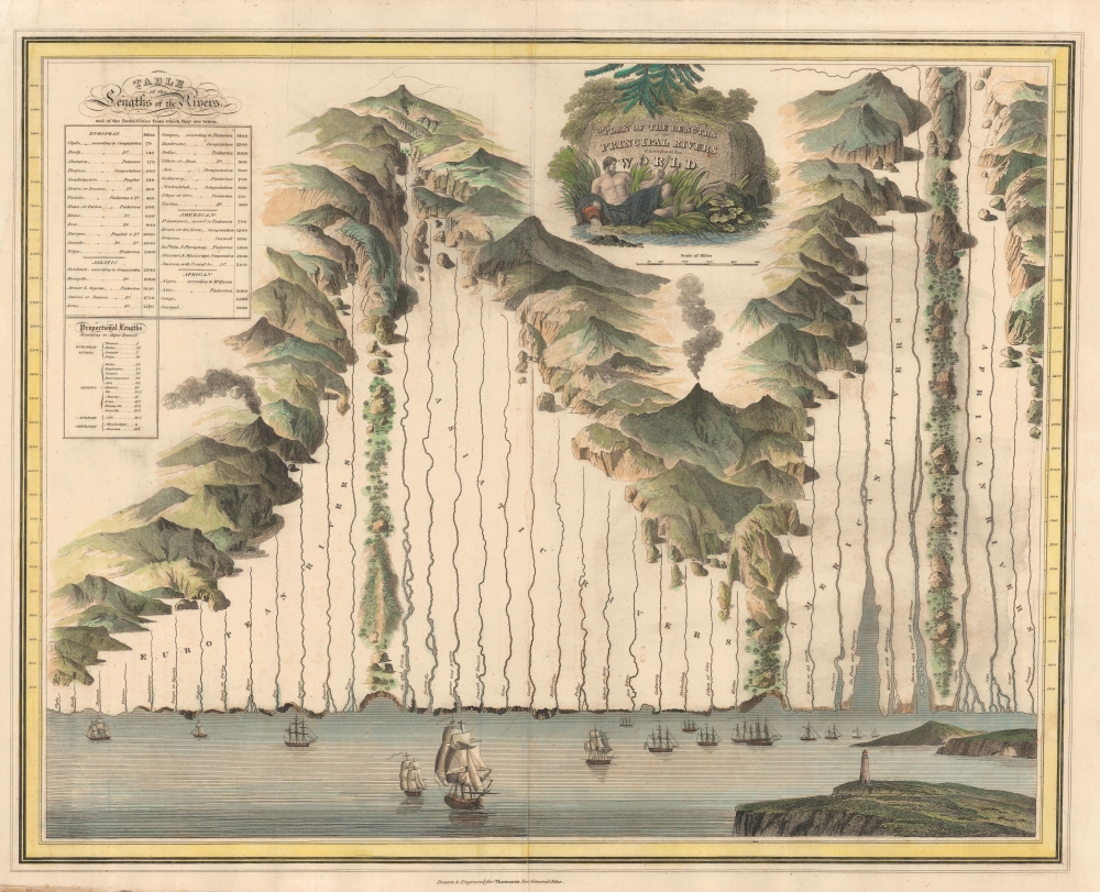
Plan of the Lengths of the Principal Rivers Throughout the World.
sold
- Digital Map Information
- Suitable for large format printing
- DPI: 600
- File Size: 63.93 MB
- File Type: ZIP / TIFF
- ICC color profile embedded
- Delivered instantly via download link
A most unusual and attractive comparative rivers chart or map issued separately as an optional post-publication supplement to the 1821 edition Thomson's General Atlas. It is a unique angle on the comparative genre, focusing exclusively on rivers laid out comparatively in a compelling array. (more details)
Technicolor Tokyo.

名所繪入東亰區分全圖 / [Complete Map of Tokyo Districts, with Drawings of Famous Places].
sold
- Digital Map Information
- Suitable for large format printing
- Full resolution TIFF file
- ICC color profile embedded
- Delivered instantly via download link
This is a vibrant 1882 Hirano Denkichi tourist map of Tokyo, depicting the city divided into its various wards and counties, providing detailed information on the constituent parts of each. It was made in the wake of the Meiji Restoration, as Japan, with Tokyo as its imperial capital, was undergoing a rapid process of modernization and industrialization. (more details)
A province along the Vietnam-Cambodia border.
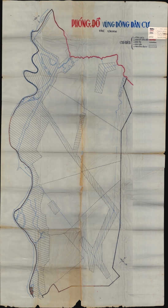
Phóng. Đồ. Vùng Đông Dân Cư.
sold
This is a large over 6-foot-tall c. 1968 Vietnamese manuscript map of Kien Phong Province, South Vietnam drawn on wax paper. Emphasizing the province's inhabited areas, the map likely played a role in planning operations during the Vietnam War. (more details)
Republic of Texas and the Oregon Question.
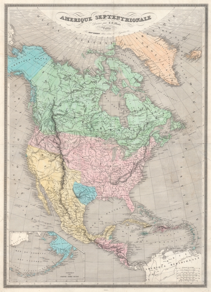
Amerique Septentrionale.
sold
- Digital Map Information
- Suitable for large format printing
- DPI: 600
- File Size: 74.99 MB
- File Type: ZIP / TIFF
- ICC color profile embedded
- Delivered instantly via download link
This is the 1845 Monin Map of North America highlighted the Republic of Texas and the Oregon Question. It highlights many of the most pressing political and international topics of the time: recognition of the Republic of Texas, the Oregon Question, and the westward expansion of the United States, all on the eve of the Mexican-American War (1846 - 1848). (more details)
A Brilliant Collage of Native American Life.
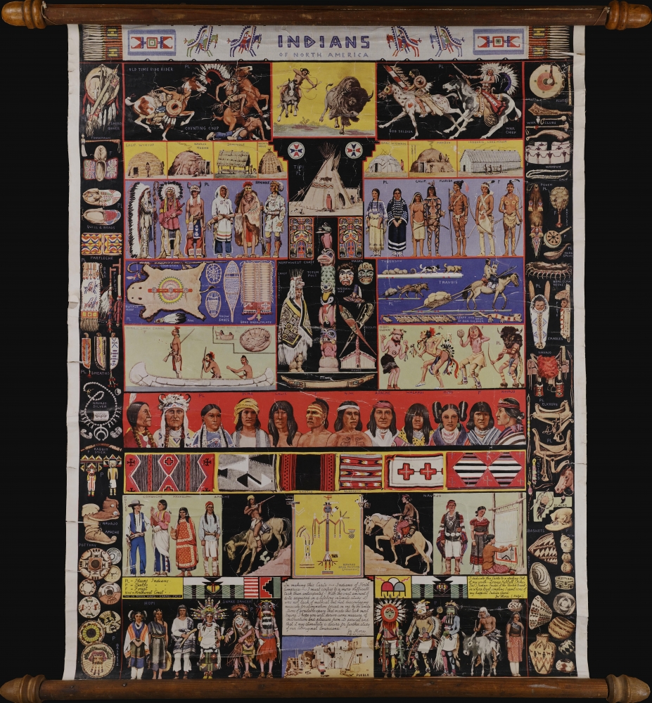
Indians of North America.
$700.00
Acquire
A striking 1936 set of vignettes of Native American life by the California-based artist Jo Mora. Mora had a lifelong fascination with Native American culture, especially of the Hopi and Navajo, and early in his career spent several years traveling and living among them in Arizona. (more details)
A first edition chromolithograph bird's-eye-view of New England electric and steam railroads at the turn of the century.

Trolley Wayfinder Birds Eye View of Trolley Routes in New England.
sold
- Digital Map Information
- Suitable for large format printing
- Full resolution TIFF file
- ICC color profile embedded
- Delivered instantly via download link
A radiantly rich chromolithograph first edition bird's-eye view style pocket map of New England issued in 1904 by John Jenness Lane and George Walker for the New England Street Railway Club. The view was produced upon Lane's election as secretary of the Club to promote the extensive but ephemeral New England streetcar network. Centered on Boston, New England's streetcar system is revealed extending north as far as Lewistown, Brunswick and Yarmouth, Maine; south to Narragansett Bay, Newport and New Bedford, Massachusetts; and west as far as Worcester. Both electric railroads and steam railroads are noted here, with red lines indicating an electric railroad and a black line marking the route of a steam railroad. Various parks, lighthouses, historic sites, and geographical features are also labeled. Popular routes are highlighted by inset maps and include: Springfield-Turners Falls, Worcester-Springfield, Springfield-New York City, Pittsfield and Vicinity, Rochester-Nashua, Portsmouth-Lewiston, and a triangle route from Worchester to Providence to New London and back. An inset of the vicinity of Boston is situated in the upper left. (more details)
The Southwest at the height of the Civil War.
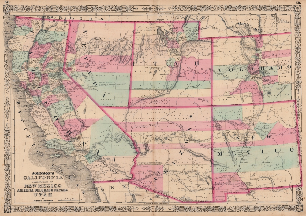
Johnson's California. Territories of New Mexico Arizona Colorado Nevada and Utah.
sold
- Digital Map Information
- Suitable for large format printing
- File Size: 56.56 MB
- File Type: ZIP / TIFF
- ICC color profile embedded
- Delivered instantly via download link
This is A. J. Johnson's 1863 map of the American Southwest, one of the scarcest and most historically significant of his Southwest series. Published at the height of the American Civil War (1861 - 1865), this map depicts the state of California and the territories of Nevada, Utah, Colorado, New Mexico, and Arizona. (more details)
A world unto Itself.

The Streets of Ankh-Morpork. Being a Concise and Possibly Even accurate Mapp of the Great City of Discworld. Including Unseen University and Environs.
sold
An intricate and imaginative 1993 map of the city of Ankh-Morpork, a city-state that features prominently in Terry Pratchett's fantasy series Discworld, conceived by Stephen Briggs and drawn by Stephen Player. It includes numerous references to characters and settings in the novels, including the Unseen University. (more details)
A separately-issued rarity of Biblical Cartography.
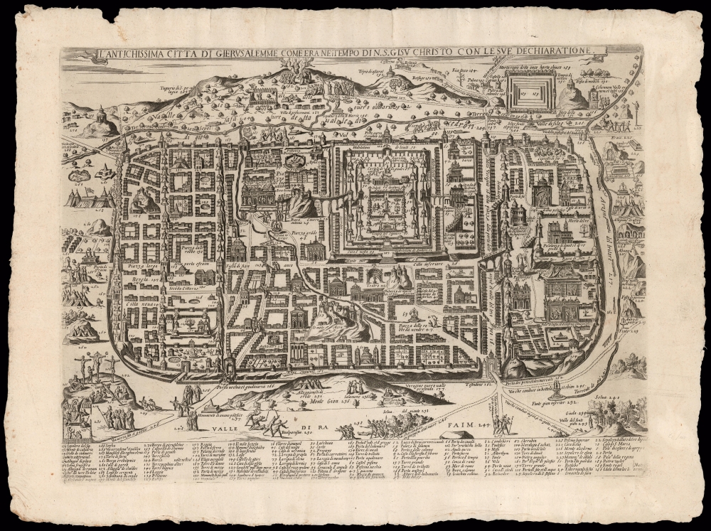
L'antichissima città di Gierusalemme come era nei tempo di N.S. Gisu Christo, con le sue dechiaratione.
sold
- Digital Map Information
- Suitable for large format printing
- Full resolution TIFF file
- ICC color profile embedded
- Delivered instantly via download link
This is a rare, separately-issued Lafreri-school broadsheet map of Jerusalem, printed c. 1595 by Matteo Florimi. It is an iteration of the influential 1584 Adrichem plan, itself an allegorical depiction of Jerusalem during Christ's lifetime, instrumental in codifying elements of Christian veneration of the Holy City, in particular the Stations of the Cross. (more details)
Strikingly engraved view of Jerusalem at the time of Solomon's Temple.
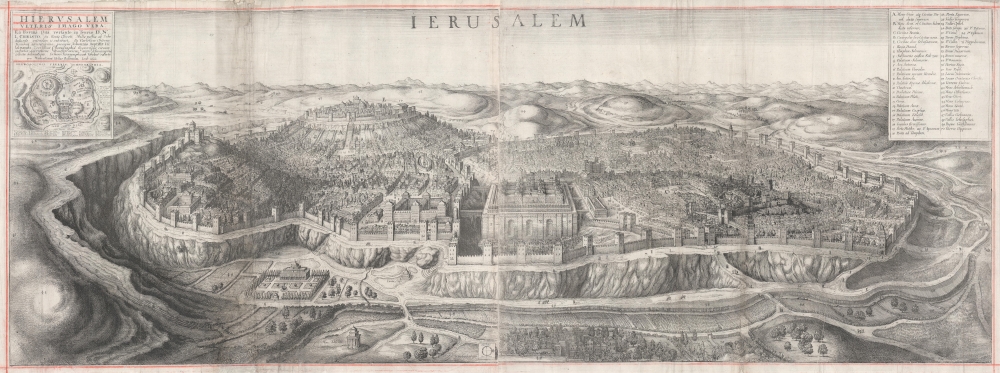
Ierusalem. Hierusalem Veteris Imago Vera.
sold
- Digital Map Information
- Suitable for large format printing
- DPI: 600
- File Size: 124.93 MB
- File Type: ZIP / TIFF
- ICC color profile embedded
- Delivered instantly via download link
A spectacularly engraved large-scale 1660 Wenceslaus Hollar bird's-eye of Jerusalem during the period of the Solomon's Temple. The view is based upon the 1604 writings and drawings of Juan Bautista Villalpando (Villalpandus; 1552 - 1608), a Spanish Jesuit of Sephardic ancestry. The work, although mostly imaginary, proved highly influential. (more details)
Japanese war propaganda.

海國日本圖繪 紀元二千六百年紀念 / [Depiction of Maritime Japan, to Commemorate the 2600th Anniversary of the Imperial Family].
sold
- Digital Map Information
- Suitable for large format printing
- File Size: 477.31 MB
- File Type: ZIP / TIFF
- ICC color profile embedded
- Delivered instantly via download link
A rare, huge, and brilliantly-colored propaganda work issued by the Imperial Japanese Navy (IJN) on the eve of the Pearl Harbor attack, this 1940 map celebrates the history of Japan's maritime ventures and the strength of the IJN. It also celebrates the 2600th anniversary of the Japanese imperial family that year, which was accompanied by an outpouring of hypernationalist propaganda. (more details)
'Most Attractive of its Time' -Shirley
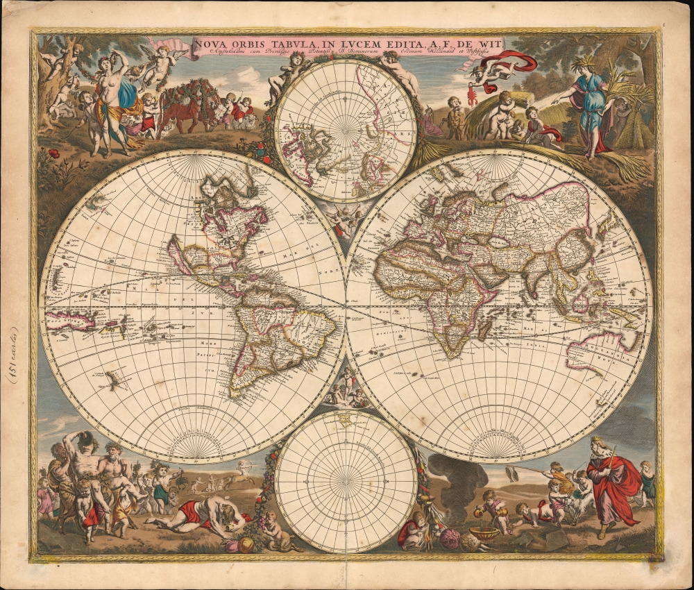
Nova Orbis Tabula In Lucem Edita, A. F. de Wit.
sold
- Digital Map Information
- Suitable for large format printing
- DPI: 600
- File Size: 64.85 MB
- File Type: ZIP / TIFF
- ICC color profile embedded
- Delivered instantly via download link
This is a striking c. 1689 example, in original color, of Frederick De Wit's classic double hemisphere map of the world. Shirley praised it as 'one of the most attractive of its time'. It features many of the tropes of 17th-century Dutch mapmaking: Isular California, imaginary islands, etc., as well as new discoveries, such as Western Australia, and cartographic reconsiderations, among them the removal of the imaginaryTerra Australis. (more details)
Leo Belgicus, in a desirable edition.
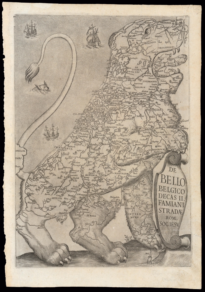
De Bello Belgico Decas II Famiani Stradae Rom. Soc. Iesu
sold
- Digital Map Information
- Suitable for large format printing
- DPI: 600
- File Size: 20.56 MB
- File Type: ZIP / TIFF
- ICC color profile embedded
- Delivered instantly via download link
This 1632/1647 map of the Netherlands is an exemplar of one of the most distinctive heraldic geographical motifs: the famous Leo Belgicus. This depiction of the Low Countries in the form of a lion rampant appeared as the title page in the first, Rome edition of Famiano Strada's 1632 history of the Dutch Revolt. While later editions of Strada featured a Leo in their frontispieces, the plate employed in the 1632 first volume and the 1647 second volume of the first edition was the largest and most beautifully engraved, and among the most desirable. This image's appearance during the course of the Eighty Years' War (c. 1566/1568 - 1648) has led to it being hailed as a cartographic expression of national pride - in spite of its origin being firmly rooted in histories of the war produced predominantly from a Spanish perspective. (more details)
Mysterious 'lost' archeological labyrinth discovery.

In accuratam resculpsit proportionem, comes carolus litta patricius mediolanensis, hunc labyrinthum invenit et scuplsit anno 1769, et ordinatum magis et amplum anno 1772.
sold
- Digital Map Information
- Suitable for large format printing
- Full resolution TIFF file
- ICC color profile embedded
- Delivered instantly via download link
A mysterious 1772 representation of a now unknown architectural labyrinth supposedly discovered in 1769 by Carolus (Carlo) Litta, a Milanese grandee. The grandiose maze is astounding in its size and complexity, and it would be difficult to imagine such an necessarily enormous structure surviving the ages, nonetheless, similar if smaller structures have been discovered in throughout the Mediterranean. (more details)
Definitive 18th century chart of Mallorca.
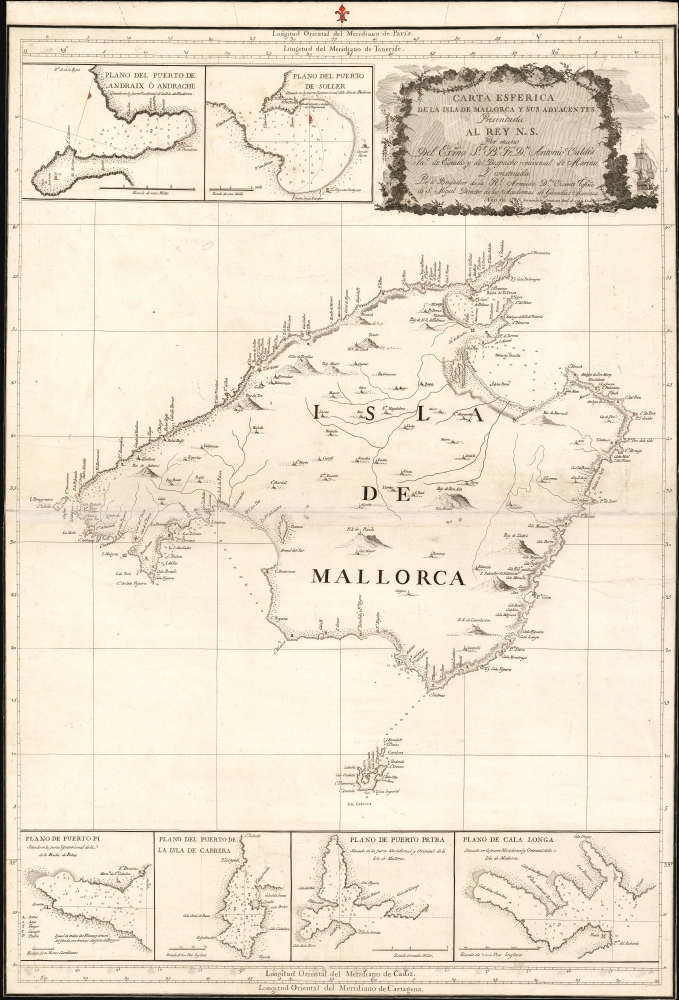
Carta Esferica de la Isla de Mallorca y sus adyacentes. Presentada al Rey N. S. por mano de... Antonio Valdés y construida por... Dn. Vicente Tofiño de S. Miguel, año 1786.
sold
- Digital Map Information
- Suitable for large format printing
- Full resolution TIFF file
- ICC color profile embedded
- Delivered instantly via download link
An extremely rare large scale 1786 Spanish nautical chart detailing the Balearic Island of Mallorca (Majorca) by the famed hydrographers Vincente Tofiño de San Miguel and Antonio Valdés y Fernández Bazán. The map covers Mallorca in full inclusive of the ... (more details)