
Ortelius' most state of the art Holy Land.
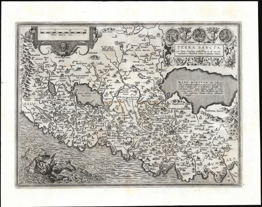
Terra Sancta, a Petro Laicstain perlustrata, et ab eius ore et schedis a Christiano Schrot in tabulam redacta.
sold
- Digital Map Information
- Suitable for large format printing
- DPI: 600
- File Size: 56.94 MB
- File Type: ZIP / TIFF
- ICC color profile embedded
- Delivered instantly via download link
This is Abraham Ortelius' 1584 map of the Holy Land, the only one of his maps of the region based on contemporaneous travelers' reports. It is also one of the most beautifully engraved maps of the Holy Land produced in the 16th century, with a dramatic depiction in the lower left of Jonah and the Whale, and the medallions decorating the cartouche with scenes of the Nativity, the Crucifixion, and the Resurrection. (more details)
Charting British Control of Burma.
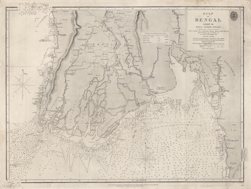
Gulf of Bengal Sheet VII Bassein, Rangoon, Martaban Compiled from various Surveys...
$550.00
Acquire
- Digital Map Information
- Suitable for large format printing
- File Size: 28.43 MB
- File Type: ZIP / TIFF
- ICC color profile embedded
- Delivered instantly via download link
A scarce 1863 British Admiralty chart of the waters off the coast of Burma (now Myanmar), focusing on the Irrawaddy River Delta, the Andaman Sea, and the Gulf of Martaban. It was produced following the Second Anglo-Burmese War (1852 - 1853), when the British took control of the region. (more details)
The beginning of the Greek struggle for independence.
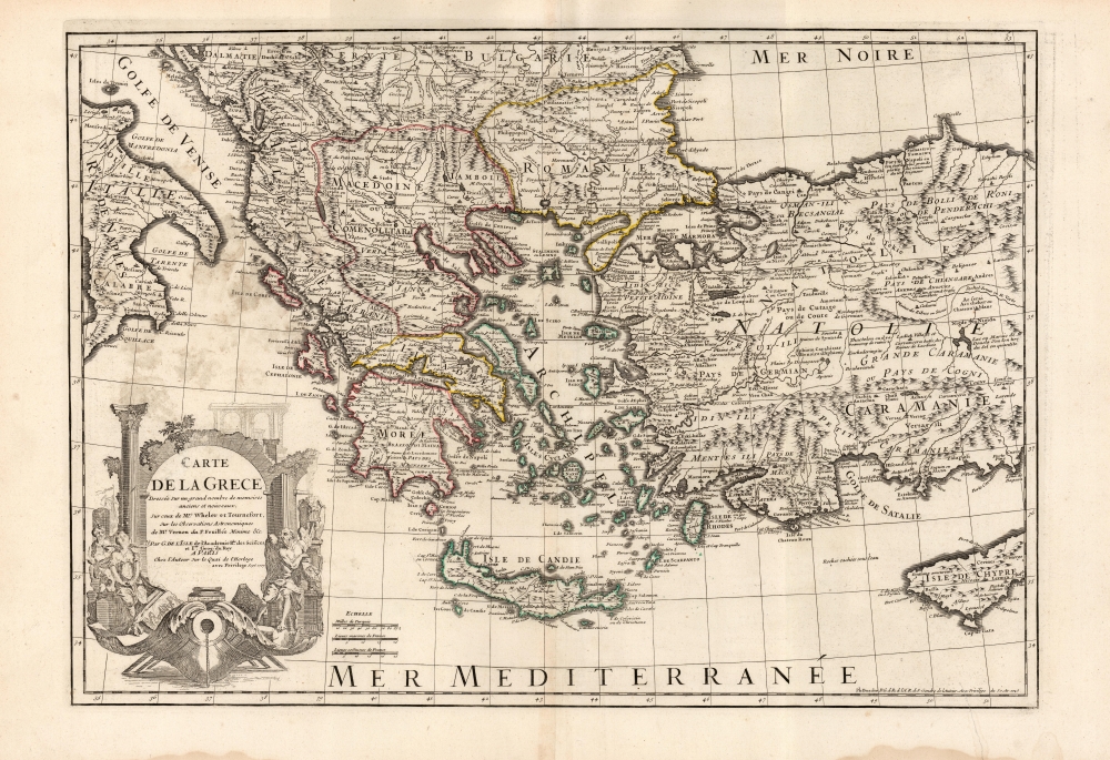
Carte De La Grece...
sold
- Digital Map Information
- Suitable for large format printing
- DPI: 600
- File Size: 86.2 MB
- File Type: ZIP / TIFF
- ICC color profile embedded
- Delivered instantly via download link
This is the 1745 Buache edition of Guillaume De l'Isle's 1707 map of Greece and the western part of Turkey. It presents the region at the beginning of a period of Greek revolts against Ottoman rule. (more details)
Among the earliest accurate charts of the Bay of Bengal.
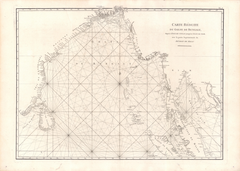
Carte Reduite du Golfe de Bengale, depuis L'Isle de Ceyland jusqu'au Golfe de Siam avec la partie Septentrionale du Detroit de Malac.
sold
- Digital Map Information
- Suitable for large format printing
- Full resolution TIFF file
- ICC color profile embedded
- Delivered instantly via download link
An important 1775 chart of the Bay of Bengal issued for Jean-Baptiste Nicolas Denis d'Après de Mannevillette's La Neptune Oriental, the most influential work of hydrography dealing with Asia in its time. (more details)
Gateway to the Gulf of Mexico.

The Beautiful Islands: Sanibel and Captiva.
sold
A pleasing c. 1980 pictorial view of Sanibel and Captiva Islands near Fort Myers, Florida, drawn by William Harold Hancock. (more details)
Greyhound means: See America at close range.

Gay Days Around America. / America Celebrates.
sold
- Digital Map Information
- Suitable for large format printing
- Full resolution TIFF file
- ICC color profile embedded
- Delivered instantly via download link
An appealing 1949 pictorial map of the United States drawn by M. E. Bush for Greyhound. It focuses on festivals, events, and parks served by Greyhound. Moreover, it reveals a country in transition from trains to automobiles, with interesting undercurrents of national self-realization. (more details)
Stunning and complex geographical game.
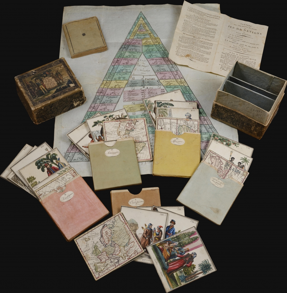
Voyage dans les Cinq Parties du Monde. ou representations de 32 Nations avec VI cartes geographiques 1805.
sold
A stunning 1807 geographical game by Johann Georg Klinger and Johann Wolfgang Müller. It is among the most interesting and complex geographical games we have encountered. The beautifully produced game features 37 (35 present) cards, a game board, and instructions detailing how it can be played in three increasingly complex modes. The most advanced involved strategic planning of global commerce. As such, it could appeal to and delight children of all ages. (more details)
Among the earliest obtainable maps of Charleston.
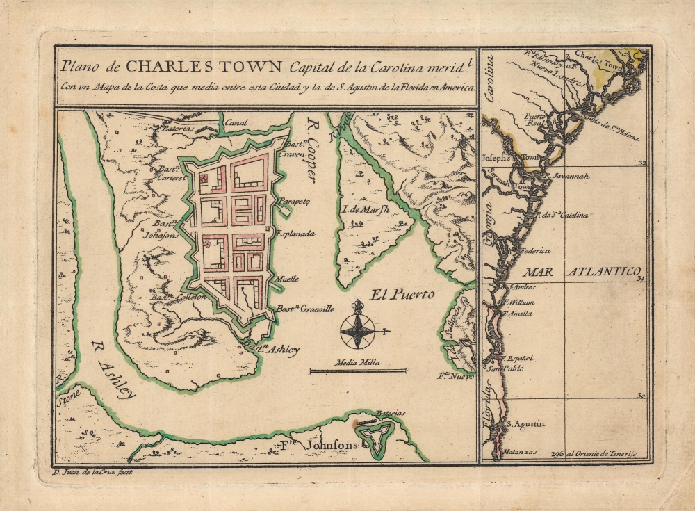
Plano de Charles Town capital de la Carolina Medl. con un mapa de la costa que media entre esta ciudad y la de S. Agustin de la Florida en America.
sold
- Digital Map Information
- Suitable for large format printing
- Full resolution TIFF file
- ICC color profile embedded
- Delivered instantly via download link
This is Juan de la Cruz's important and rare c. 1753 plan of Charleston, South Carolina. It is one of the earliest printed maps of Charleston, and perhaps the earliest specific printed map of Charleston. It updates the city plan included, via inset, on the unobtainable 1711 Edward Crisp map. As such, it reflects the precarity of the settlement just 30 years after its founding, as a distant colonial outpost, heavily fortified against anticipated attacks. (more details)
Big Rapids during its lumber boom five years after incorporation.
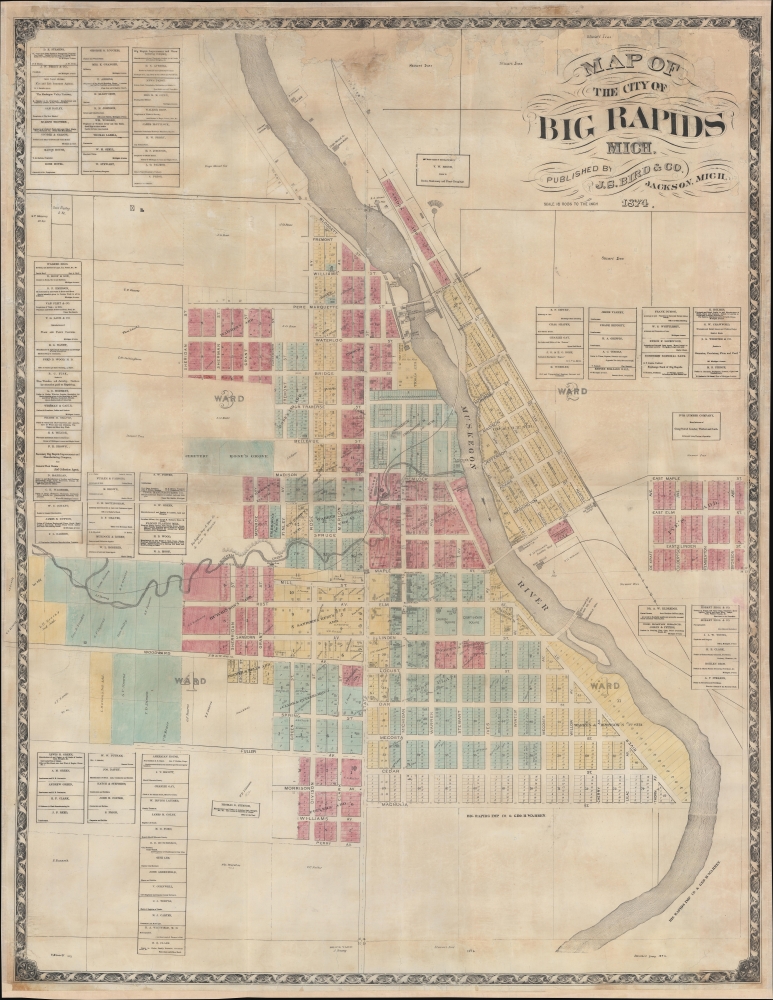
Map of the City of Big Rapids, Mich.
sold
- Digital Map Information
- Suitable for large format printing
- File Size: 167.61 MB
- File Type: ZIP / TIFF
- ICC color profile embedded
- Delivered instantly via download link
This is an 1874 J. S. Bird city map of Big Rapids, Michigan. It captures Big Rapids just 5 years after it was incorporated as a city, during the height of its explosive growth as a logging boomtown. (more details)
Cartographic pedagogy.
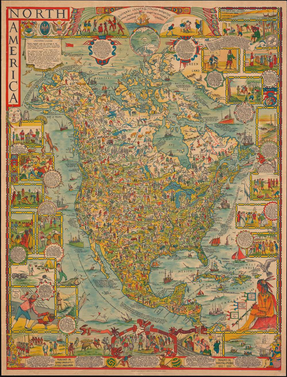
North America.
sold
- Digital Map Information
- Suitable for large format printing
- File Size: 81.88 MB
- File Type: ZIP / TIFF
- ICC color profile embedded
- Delivered instantly via download link
A dense large scale 1930 pictorial map of North America drawn by Margaret Whiting Spilhaus and published by George Philip and Son. Drawn for education, the map presents a panoramic view of American history from discovery to 1930. Spilhaus was a passionate about geographical education, believing strongly that we should 'learn from mistakes of the past'. (more details)
Dreams of a Northwest Passage and the Sea of the West.
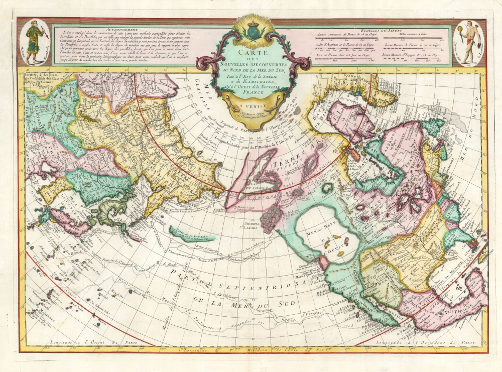
Carte Des Nouvelles Decouvertes au Nord de la Mer de Sud, tant a l'Est de la Syberie et du Kamtchatka, qu'a L'Ouest de la Nouvelle France.
sold
- Digital Map Information
- Suitable for large format printing
- Full resolution TIFF file
- ICC color profile embedded
- Delivered instantly via download link
This is the Buache / De l'Isle map of North America, Siberia, the Arctic, and the North Pacific in its 1776 Venice edition published by Francois Santini. Joseph Nicolas De l'Isle's and Philippe Buache drew this map to illustrate their speculations on the feasibly of a Northwest Passage. Cartographically, this map is derived from data secreted from the Russian 'Academy of Sciences' combined with Buache's own speculations on the Northwest Passage. This map is highly significant for its revival of the 'Sea of the West' hypothesis. This is a landmark map and perhaps the single most influential map of the region issued in the mid-18th century. (more details)
1st modern survey of Hawaii.
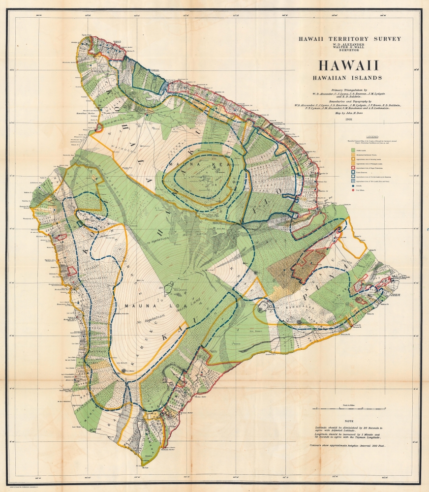
Hawaii Hawaiian Islands.
sold
- Digital Map Information
- Suitable for large format printing
- File Size: 135.38 MB
- File Type: ZIP / TIFF
- ICC color profile embedded
- Delivered instantly via download link
This is a 1906 John M. Donn map of Hawaii, Hawaiian Islands. This map represents the first comprehensive modern survey of Hawaii. (more details)
Retire to an American Paradise.
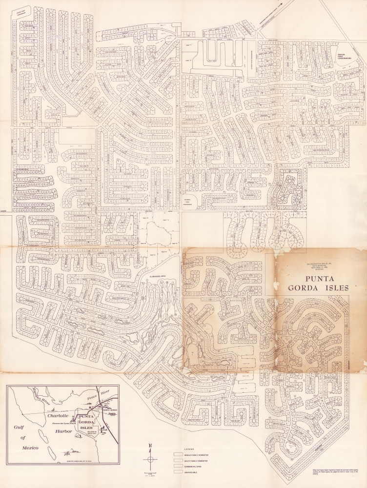
Punta Gorda Isles.
sold
An important c. 1969 plat map of Punta Gorda Estates, the first of several planned housing communities in Punta Gorda, Florida. This is likely the earliest attainable map of the development. (more details)
The earliest obtainable map of New Orleans.
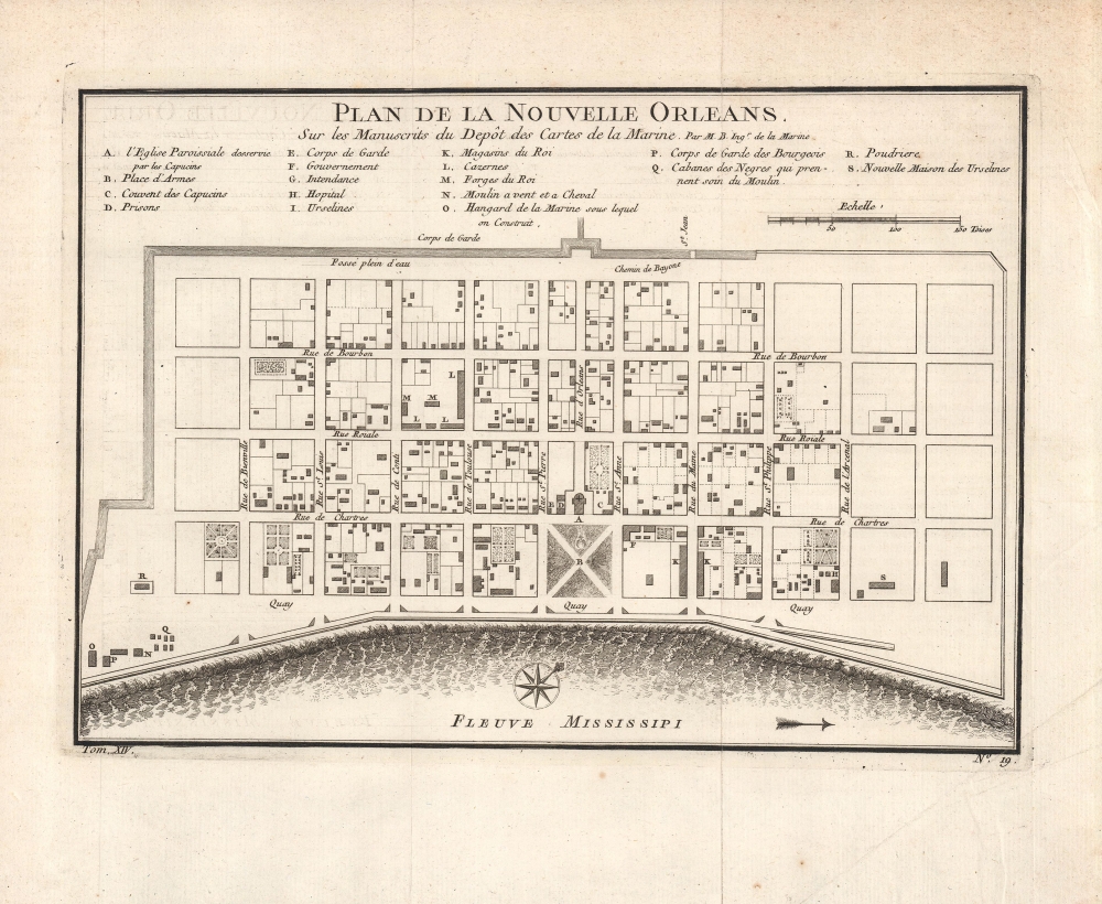
Plan de la Nouvelle Orleans. Sur les Manuscrits du Depôt des Cartes de la Marine.
sold
- Digital Map Information
- Suitable for large format printing
- Full resolution TIFF file
- ICC color profile embedded
- Delivered instantly via download link
This scarce 1744 map by J. N. Bellin is the earliest obtainable map of New Orleans, Louisiana. It was issued for Pierre François Xavier de Charlevoix's Histoire et description generale de la Nouvelle France, one of the earliest published accounts of the city. (more details)
Standout work by Japan's paramount view artist.

叡山頂上一目八方鳥瞰圖 / [Multi-Directional Bird's-Eye View from the Peak of Mt. Hiei].
sold
- Digital Map Information
- Suitable for large format printing
- File Size: 18.52 MB
- File Type: ZIP / TIFF
- ICC color profile embedded
- Delivered instantly via download link
An unusual c. 1926 view depicting a 360-degree perspective from the peak of Mt. Hiei, near Kyoto, Japan. It was produced by Yoshida Hatsusaburō, a master of the bird's-eye view, though it differs significantly from most of Yoshida's other works. (more details)
Striking city map of Montevideo, Uruguay.

Plano Bemporat de Montevideo.
sold
This is a beautiful large-format 1952 Oficina Cartográfica Bemporat folding city plan or map of Montevideo, Uruguay. Streets and avenues are labeled throughout, along with hospitals, schools, cemeteries, and parks. Beaches all along the coastline are identified. The Fortaleza General Artigas, the Frigorifico Uruguayo, and the Arsenal de Marina also are labeled. Six insets along the bottom border focus on the Casas Economicas, the Frigorifico Artigas, the Rambla Sud, Nuevo Paris, and Saint Bois - Toblada - Colon. (more details)
Grand map of Grand Teton.

Parts of western Wyoming and southeastern Idaho.
sold
- Digital Map Information
- Suitable for large format printing
- File Size: 43.83 MB
- File Type: ZIP / TIFF
- ICC color profile embedded
- Delivered instantly via download link
A detailed large-format map of Grand Teton and surrounding mountains produced in 1878 by the U.S. Geological and Geographical Survey of the Territories, forerunner to the U.S. Geological Survey. It is among the earliest mappings of this region, and certainly was the most comprehensive at the time of publication. (more details)
Havana in the Fifties.

Panoramic and Monumental Map of Havana (Plano Panoramico y Monumental de La Habana).
sold
This is a 1955 Rogelio L. Mirabal panoramic map of Havana, Cuba, issued by the Cuban Tourist Commission, capturing the city at the height of its romantic literary period in the early fifties: this is the Havana of Graham Greene and Ernest Hemingway. (more details)
Created by the main competitor of Ripley's Believe it or Not!

California. A John Hix Strange as it Seems Map Presented by The Gilmore Oil Company.
sold
- Digital Map Information
- Suitable for large format printing
- Full resolution TIFF file
- ICC color profile embedded
- Delivered instantly via download link
This is a 1936 John Hix Strange as it Seems pictorial map of California. The image captures a wealth of fascinating but true facts about California by the primary competitor of 'Ripley's Believe it or Not! (more details)
The Canadian Rocky Mountains by rail!

Panoramic Map of the Canadian Pacific Rockies. / Canadian Rockies Showing Main Line of Canadian Pacific Ry. with Branch Lines and Steamship Connections.
sold
- Digital Map Information
- Suitable for large format printing
- File Size: 165.21 MB
- File Type: ZIP / TIFF
- ICC color profile embedded
- Delivered instantly via download link
This is a 1924 Canadian Pacific Railway (CPR) bird's-eye view map of the Canadian Rocky Mountains. The map highlights the CPR's efforts to promote tourism along its lines to the Canadian Rockys through the construction of grand hotels, spur lines, and other infrastructure. (more details)