
An aerial atlas of the Florida Keys.
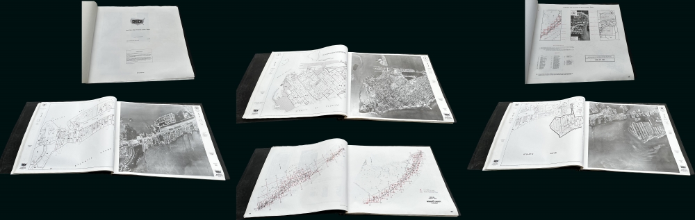
Redi Aerial and Map Atlas Monroe County Florida.
sold
A rare 1991 REDI aerial photo atlas of Monroe County Florida, comprising the Florida Keys. The atlas contains 122 aerial photo-maps with associated key plates on a uniform scale of 1:7200. Coverage thus embraces the Florida Keys from Key Largo to Key West, as well as parts of the Florida mainland in Monroe County. The atlas was compiled for use by real estate developers. (more details)
Iconic Tolkien promotional poster map.

A Map of Middle-Earth.
sold
This is the iconic 1970 rare poster map of J. R. R. Tolkien's Middle Earth drawn by Pauline Diana Baynes to promote the George Allen and Unwin release of the Lord of the Rings. Tolkien heaped praise upon Baynes' work, saying 'They are more than illustrations, they are a collateral theme. I showed them to my friends whose polite comment was that they reduced my text to a commentary on the drawings.' (more details)
Geology for Empire.
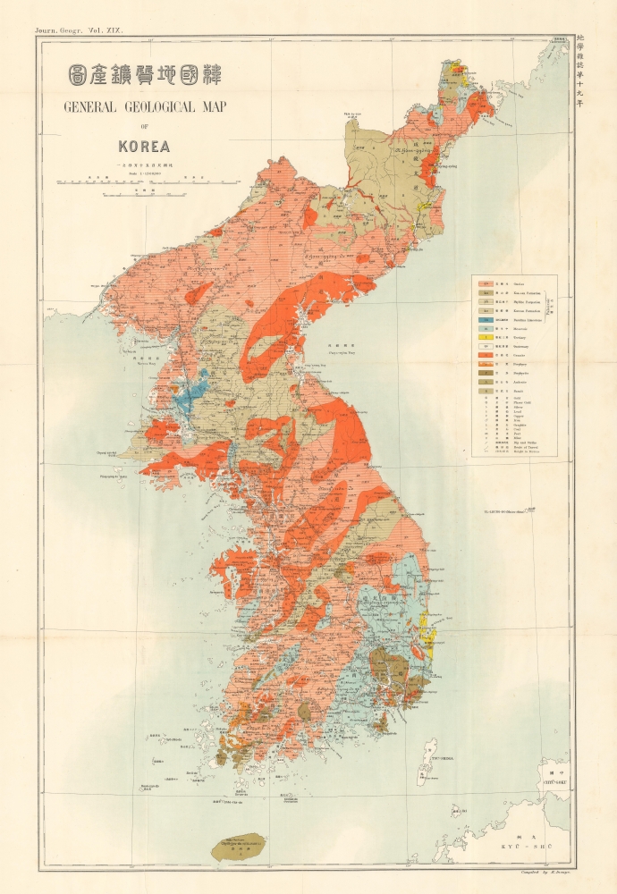
韓國地質礦產圖 / General Geological Map of Korea.
sold
- Digital Map Information
- Suitable for large format printing
- Full resolution TIFF file
- ICC color profile embedded
- Delivered instantly via download link
A richly colorful 1907 geological map of Korea that appeared in the journal Chigaku Zasshi (English title Journal of Geography), published by the Tokyo Geographical Society. It was published at a time when Japan's imperial control of Korea was increasing and Japanese businesses, including mining operations, aimed to rapidly extract Korea's resources to supply Japan's breakneck modernization and industrialization. (more details)
First world map to show any significant portion of the Antarctic Coast.

Chart of the World Shewing the tracks of the U.S. Exploring Expedition in 1838, 39, 40, 41 and 42.
sold
- Digital Map Information
- Suitable for large format printing
- DPI: 600
- File Size: 36.36 MB
- File Type: ZIP / TIFF
- ICC color profile embedded
- Delivered instantly via download link
This important production is Commodore Wilkes's 1840 U.S. Exploring Expedition map of the World. Presented on a Mercator Projection, this chart covers from the high Arctic to the Antarctic, with unique color coding illustrating isothermal lines, with variances in shading representing 5 degrees of temperature difference. In addition, Wilkes also shows currents and winds. Wilkes intended this map to present a general overview of the accomplishments of the U.S. Exploring Expedition (1838 - 1842). (more details)
Pre-war era map of Jacksonville.

Map of Jacksonville, Florida, and vicinity.
sold
- Digital Map Information
- Suitable for large format printing
- File Size: 82.8 MB
- File Type: ZIP / TIFF
- ICC color profile embedded
- Delivered instantly via download link
This is a c. 1930 Dolph and Stewart city plan or map of Jacksonville, Florida and its immediate environs highlighting the city's ongoing development. (more details)
Provides an incredible level of detail along the Gujarati Coast and the coast of Maharashtra including Mumbai.
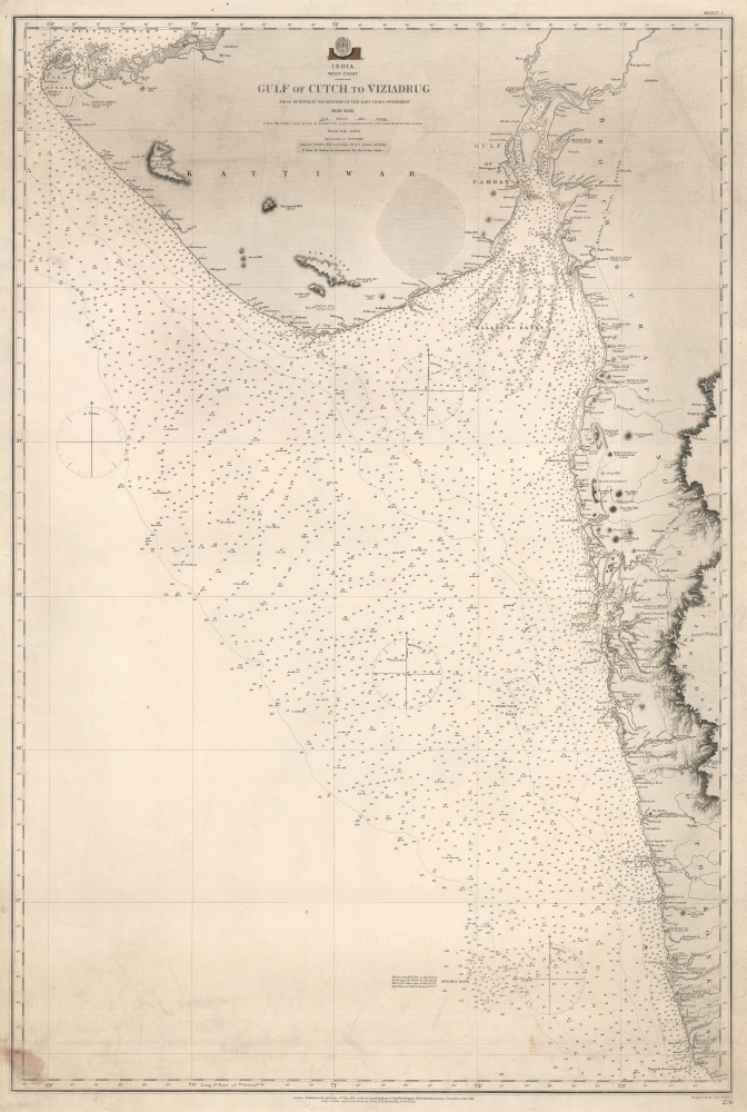
India. West Coast. Gulf of Cutch to Viziadrug.
sold
- Digital Map Information
- Suitable for large format printing
- File Size: 48.3 MB
- File Type: ZIP / TIFF
- ICC color profile embedded
- Delivered instantly via download link
This is an 1863 British Admiralty nautical chart or maritime map of the Gujarati coast and the coast of Maharashtra including Mumbai / Bombay. (more details)
Mount Everest with manuscript notations about a trek!
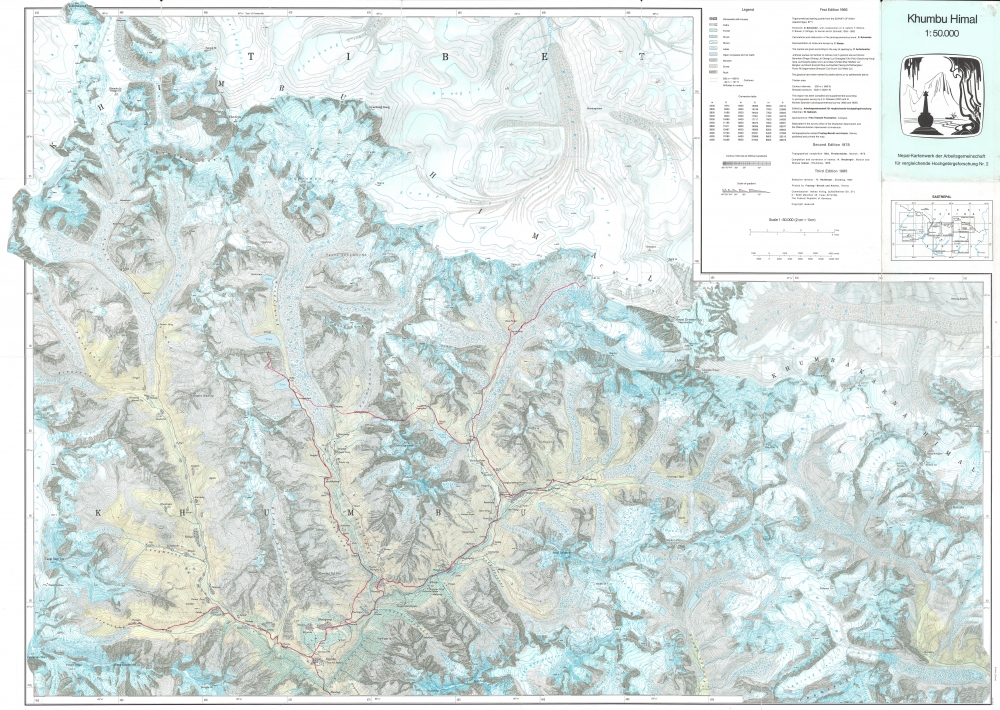
Khumbu Himal.
$400.00
Acquire
This is a striking 1985 Helmut Heuberger and Working Group for Comparative High Mountain Research (Arbeitsgemeinschaft für vergleichende Hochgebirgsforschung) map of Mount Everest and vicinity. Red manuscript notations trace the route followed by an expedition through the mountains, eventually reaching the top of the Khumbu Glacier within sight of Everest. (more details)
A city within a city.

Stuyvesant Town, Borough of Manhattan. Renting Plot Plan No. 1.
sold
- Digital Map Information
- Suitable for large format printing
- Full resolution TIFF file
- ICC color profile embedded
- Delivered instantly via download link
A rare and fascinating 1951 map of Stuyvesant Town (popularly known as StuyTown), a large housing complex in New York City, produced by the project's Administration Office. The project is one of the most recognizable housing projects in the city, though its creation was marred by controversy. (more details)
Celebrates Alexander Graham Bell's 100th birthday.

Boston Birthplace of the Telephone. A Pictorial Map of the down town area.
sold
- Digital Map Information
- Suitable for large format printing
- File Size: 84.43 MB
- File Type: ZIP / TIFF
- ICC color profile embedded
- Delivered instantly via download link
This is a 1947 Ernest Dudley Chase pictorial map of Boston, Massachusetts, tracing the history of Alexander Graham Bell's invention of the telephone. (more details)
The Klondike Gold Rush railroad!
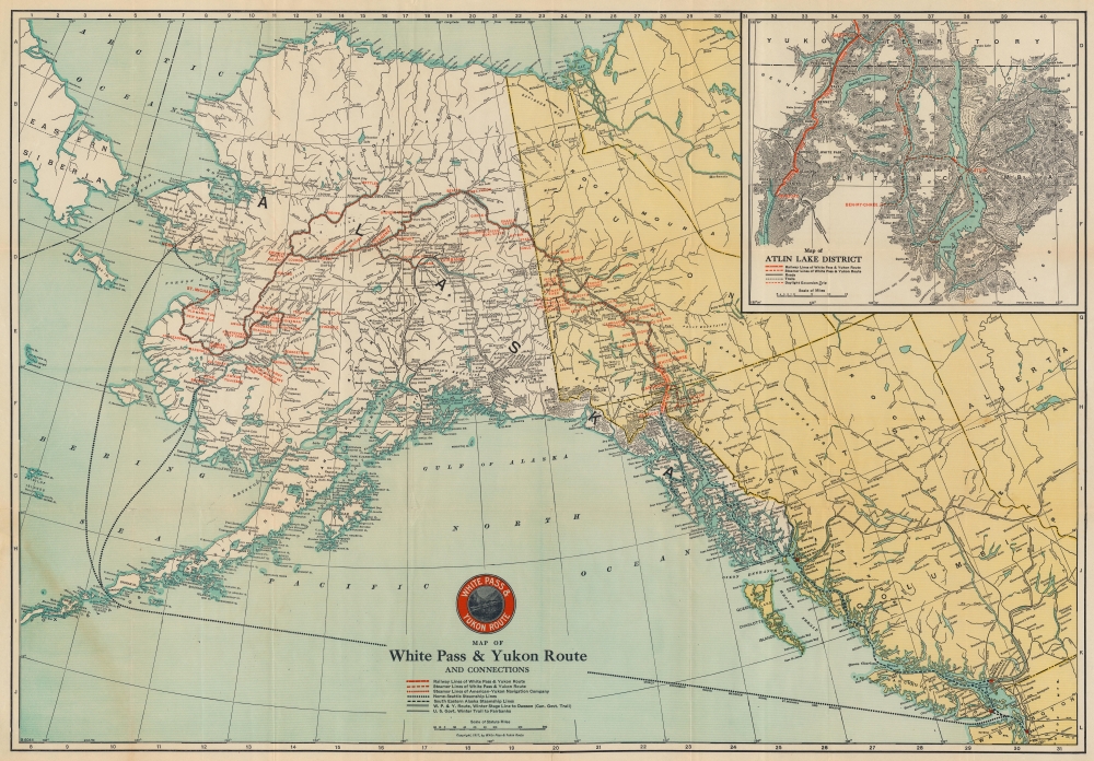
Map of the White Pass and Yukon Route and Connections.
sold
- Digital Map Information
- Suitable for large format printing
- Full resolution TIFF file
- ICC color profile embedded
- Delivered instantly via download link
This is a 1925 White Pass and Yukon Route railroad map of Alaska and northwest Canada - the major artery of access to the Klondike Gold Rush. (more details)
The southeastern United States.

County Map of North Carolina, South Carolina, Georgia and Florida.
sold
- Digital Map Information
- Suitable for large format printing
- File Size: 38.16 MB
- File Type: ZIP / TIFF
- ICC color profile embedded
- Delivered instantly via download link
This is an attractive c. 1874 Warner and Beers map of the southeastern United States. Focusing on North Carolina, South Carolina, Georgia, and Florida, the map also includes parts of Tennessee, Alabama, Virginia, and Kentucky. The northern portion of the Bahamas occupies part of the lower left. Counties are shaded for differentiation, with roads, railroads, towns, forts, and geographical features identified. (more details)
'America's oldest city.'
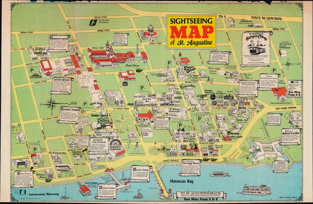
Sightseeing Map of St. Augustine.
sold
A whimsical view of historic downtown St. Augustine, Florida, drawn and published in 1985 by Henry Hird. Characteristic of Hird's work, it combines high and lowbrow elements, including information on local history and advertisements for local restaurants and businesses. (more details)
The best map of the Union Square area published in the 19th century.
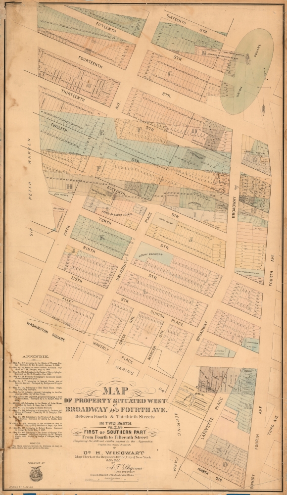
Map of Property Situated West of Broadway and Fourth Ave. Between Fourth and Thitieth Streets in Two Parts. / First or Southern Part From Fourth to Fifteenth Street.
sold
- Digital Map Information
- Suitable for large format printing
- File Size: 54.06 MB
- File Type: ZIP / TIFF
- ICC color profile embedded
- Delivered instantly via download link
A scarce c. 1875 Heinrich Windwart cadastral map of parts of Union Square and Greenwich Village, New York City. This map was issued to facilitate and profit on the implementation of the 1811 Commissioner's Plan and lotting of old New York estates. It is one of the earliest large-scale maps to specifically illustrate the Union Square area. (more details)
A gorgeous map of Japan's growing rail network.
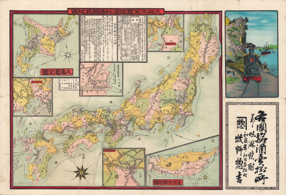
大日本全國鐵道航路細見地圖 / [Detailed National Railway and Sea Route Map of Japan].
sold
- Digital Map Information
- Suitable for large format printing
- File Size: 31.34 MB
- File Type: ZIP / TIFF
- ICC color profile embedded
- Delivered instantly via download link
A colorful 1900 map of Japan by Ōmuro Otokichi and Furushima Takejirō. It focuses on the country's growing rail and sea route networks, both catalysts and consequences of the country's rapid modernization over the previous thirty years. (more details)
Detailing Japan's new imperial conquest.

臺灣全圖 / [Complete Map of Taiwan].
sold
- Digital Map Information
- Suitable for large format printing
- File Size: 17.38 MB
- File Type: ZIP / TIFF
- ICC color profile embedded
- Delivered instantly via download link
A rare 1895 Shinaichi map of Taiwan published in the early days of Imperial Japan's conquest of the island in the closing phase of the w-sj1. It was issued as a supplement to Shin Aichi, an important regional newspaper based in Nagoya. (more details)
Combining Western and East Asian geography.

球地輿地全圖 / [Complete Map of the Globe].
sold
- Digital Map Information
- Suitable for large format printing
- Full resolution TIFF file
- ICC color profile embedded
- Delivered instantly via download link
An impressive, large-scale, and historically important conic projection map of the northern Pacific Ocean, originally produced in 1810 by Yamada Zousai and reprinted here in 1936 by Hashimoto Fukumatsu. Yamada's original was cutting edge, combining elements of Western and East Asian cartography amid a somewhat hazardous intellectual environment. (more details)
Rebuilding and reshaping.
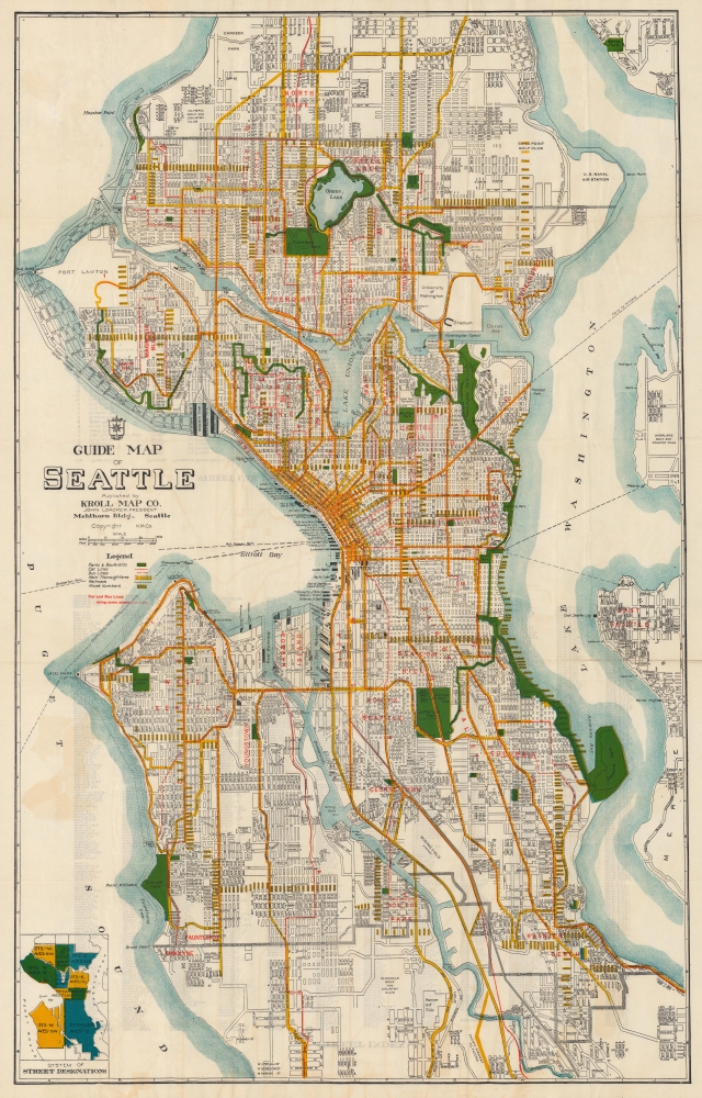
Guide map of Seattle.
sold
- Digital Map Information
- Suitable for large format printing
- Full resolution TIFF file
- ICC color profile embedded
- Delivered instantly via download link
A large-format c. 1928 folding map of Seattle, Washington, produced by the Kroll Map Co., a prominent local map publisher. It underscores the city's recovery from the Great Fire of 1889, its rapid growth in the wake of the Klondike Gold Rush, and the ambitious public works projects that reshaped it in the years just prior to this map's publication. (more details)
A double-sided French pictorial map illustrating the plants and animals of North America and Asia.
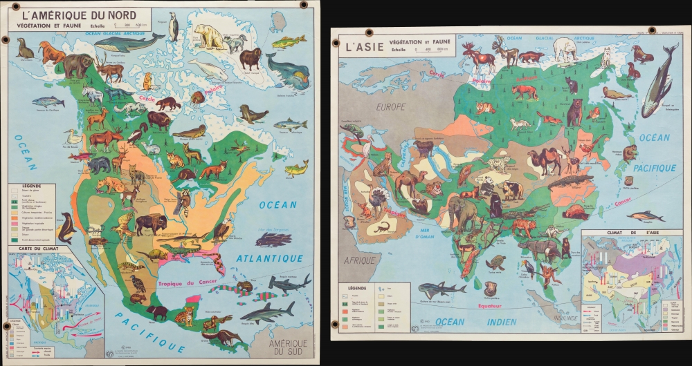
L'Amérique du Nord Végétation et Faune. / L'Asie Végétation et Faune.
$250.00
Acquire
This is a 1960 Jean Anscombre double-sided pictorial map of the plants and animals of North America and Asia. Depicting the entirety of North America on the recto and the entirety of Asia on the verso, the maps are strikingly colored and wonderfully illustrated. (more details)
With the only pre-1500 map reflecting the Age of Discovery.
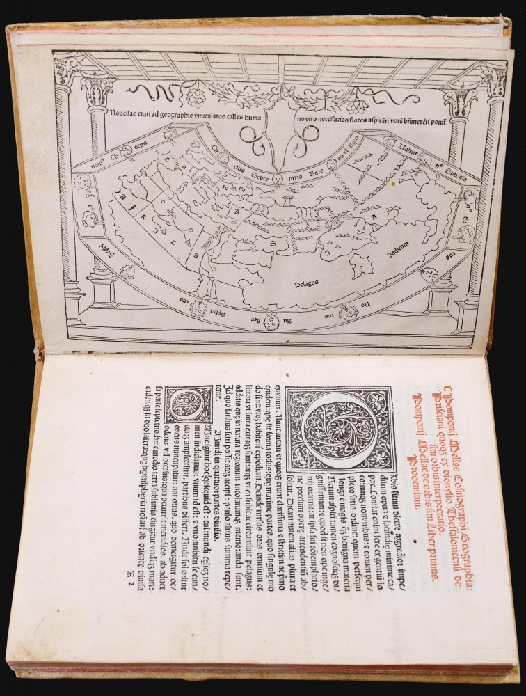
Pomponii Mellae Cosmographi Geographia De Situ Orbis. Tr. Priscianus.
sold
This is a rare, important 1482 incunable edition of Pomponius Mela's Cosmographi Geographica or De situ orbis, the only full Latin text on geography to have survived the classical era. This 1482 edition is doubly important as the first geographical text to include a map, as opposed to an atlas. Moreover, it is the only map of the pre-1500 era to show evidence of the Portuguese voyages of discovery. (more details)
Most important map of Georgia issued before the Revolutionary War.
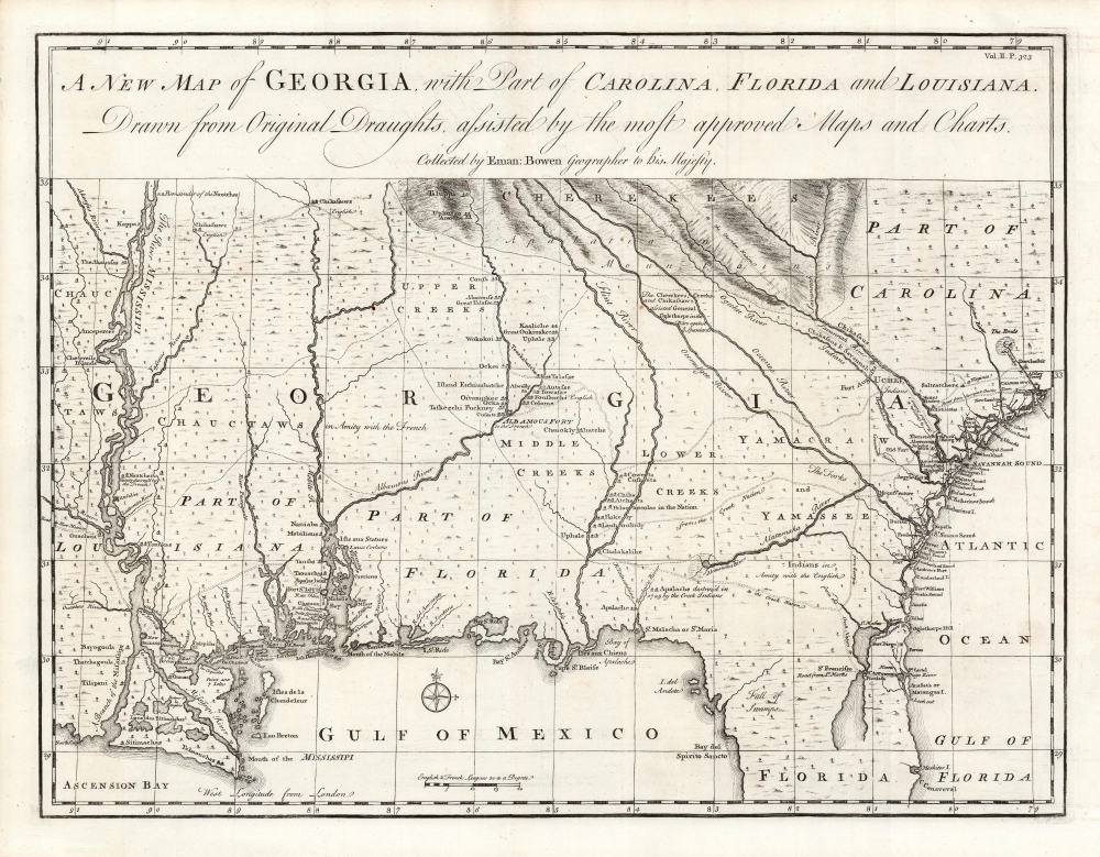
A New Map of Georgia with Part of Carolina, Florida and Louisiana.
sold
- Digital Map Information
- Suitable for large format printing
- Full resolution TIFF file
- ICC color profile embedded
- Delivered instantly via download link
One of the most important large-scale maps of colonial Georgia, here in a superb example. This is Emmanuel Bowen's 1748 map of the colony of Georgia, considered the first obtainable specific map of that region. (more details)