
A painstaking copy of a seminal map, possibly a printers' draft.
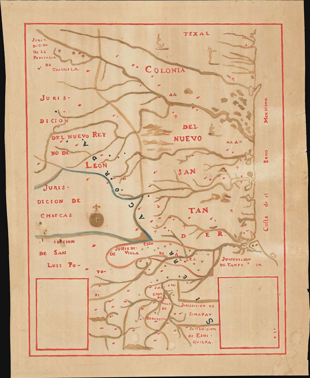
[Mapa de la Sierra Gorda].
sold
- Digital Map Information
- Suitable for large format printing
- File Size: 11.09 MB
- File Type: ZIP / TIFF
- ICC color profile embedded
- Delivered instantly via download link
This is a 1929 Talleres Graficos de la Nacion hybrid litho-manuscript map (hand-colored within a faint printed border) of an important and (in its original form) unobtainable document in the history of Colonial-era Mexico - the José de Escandón Mapa de la Sierra Gorda. (more details)
Europe of the Roman Empire.
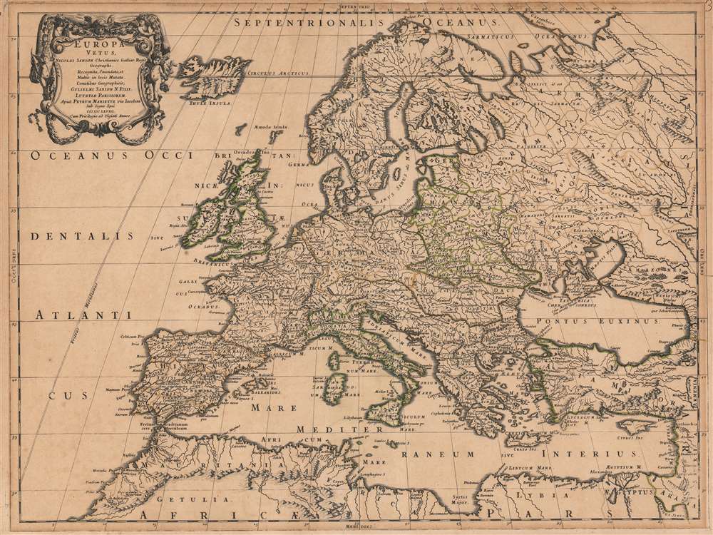
Europa Vetus Nicolai Sanson Christianiss. Galliar. Regis Geographi..
sold
- Digital Map Information
- Suitable for large format printing
- DPI: 600
- File Size: 65.45 MB
- File Type: ZIP / TIFF
- ICC color profile embedded
- Delivered instantly via download link
This is Nicolas Sanson's 1668 map of Europe, in a very attractive contemporary color example. The map combines modern topography with toponymy drawn from classical geographers. Sanson, a historian as well as a cartographer, intended this map to illustrate Europe as it was understood in the days of Imperial Rome. Thus the topography of the map reflects seventeenth-century cartography, while the political divisions and place names are drawn from the cartographers of antiquity: Claudius Ptolemy, Pomponius Mela, and Solinus, among others. The northern limits of the Roman Empire, along the Danube River and the Rhine, are marked with a dotted line and emphasized with outline color. (more details)
Only known chart detailing the entrance to Sagua La Grande during the Cuban Sugar Boom.
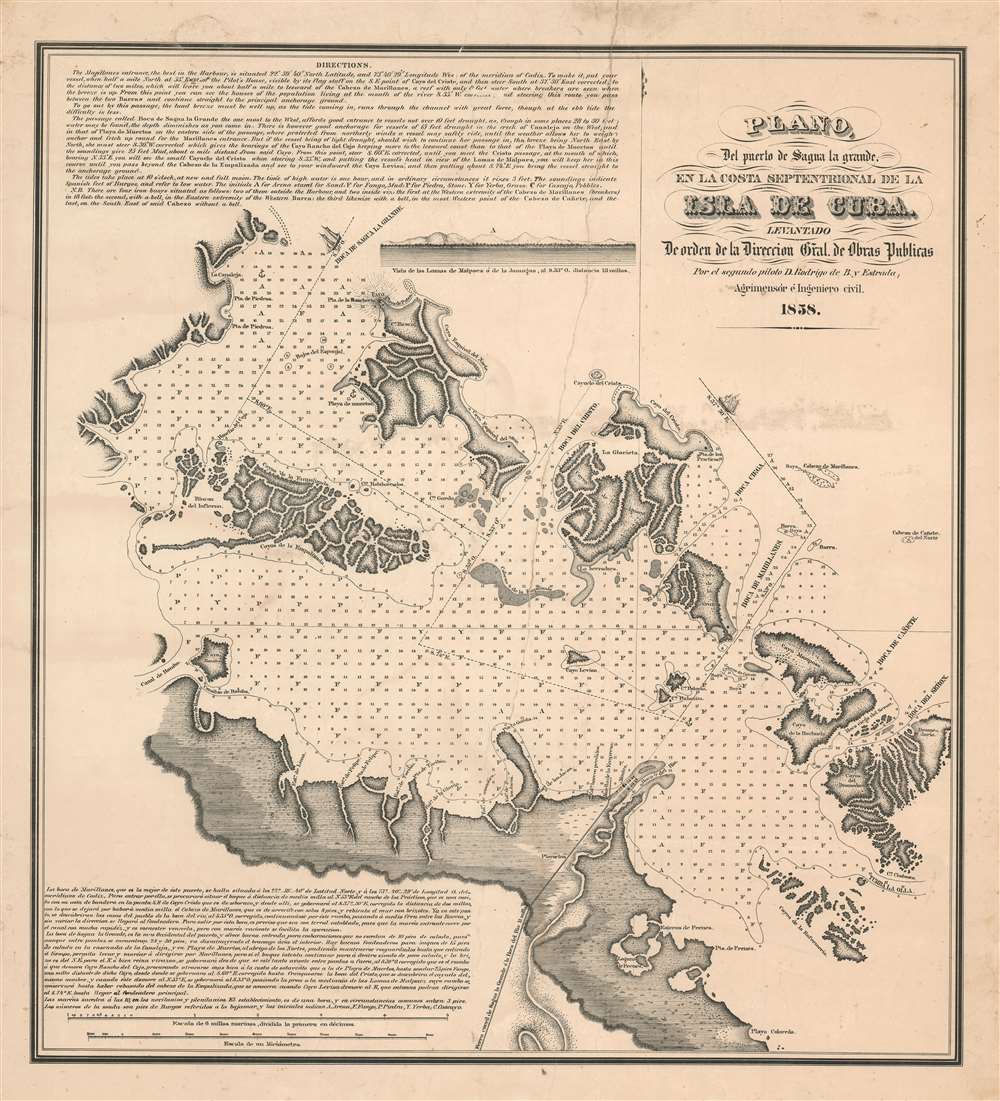
Plano del puerto de Saguya la Grande, el la costa Septentrional de la Isla de Cuba.
sold
- Digital Map Information
- Suitable for large format printing
- File Size: 33.47 MB
- File Type: ZIP / TIFF
- ICC color profile embedded
- Delivered instantly via download link
A rare 1858 Rodrigo Bernardo de Estrada Cuban sugar boom nautical map of the port of Isabela de Sagua (here Boca el Rio) and the entrance to Segua la Grande, Central Cuba. This map was produced to facilitate international shipping from Isabella de Sagua, which in 1858 was connected by rail to the bustling Sagua Valley sugar plantations. The map details the vicinity of Isabela de Sagua, on the north central coast of Villa Clara province. It includes routes through the complex barrier cayos (islands) into the Bahia de Carahatas, the Bahia de Segua la Grande, and the Bahia de Novillo. Textual instructions for the mariner are offered in English and Spanish, suggesting the intended audience for this piece was both Cuban and American. (more details)
Gaborone, the planned capital of Botswana.
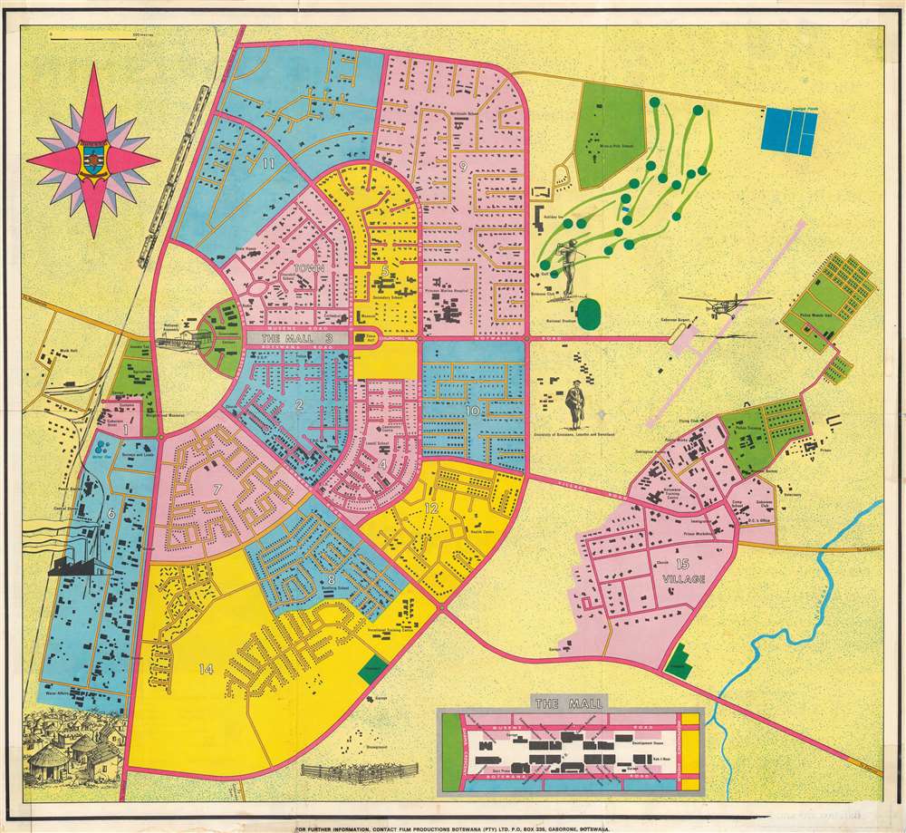
Gaborone City Plan.
sold
This is a rare c. 1975 Film Productions Botswana (PTY) city plan or map of Gaborone, Botswana, planned and constructed in the 1960s to serve as the capital of the newly independent Botswana. (more details)
Boston's universities, museums, and businesses.

Boston.
sold
This is a large-scale, loosely cartographical 1977 Barbara Spurll 'city design print' pictorial view map of Boston, Massachusetts. Buildings throughout are rendered pictorially and identified, including churches, museums, hotels, restaurants, and other businesses. Northeastern University, Boston University, Harvard University, Tufts University, the University of Massachusetts, MIT, and Boston College appear. The Boston Globe's headquarters occupies space along the left border. (more details)
The Fertile Crescent Mapped.
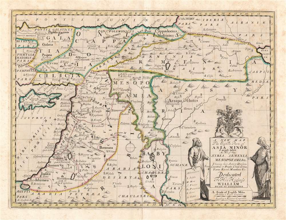
A New Map of the Eastern Parts of Asia Minor Largely taken: As Also of Syria, Armenia, Mesopotamia and c. Shewing their Antient Divisions, Countries or People, Chiefe Cities, Towns, Rivers, Mountains etc. Dedicated to His Highness William Duke of Gloucester.
sold
- Digital Map Information
- Suitable for large format printing
- DPI: 600
- File Size: 46.39 MB
- File Type: ZIP / TIFF
- ICC color profile embedded
- Delivered instantly via download link
This is an elegant 1700 Edward Wells map of the eastern Mediterranean and ancient Mesopotamia. Coverage extends from Cyprus and Asia Minor, eastwards as far as the Caspian and Persian Gulf. The central focus is the watershed of the Tigris and Euphrates, thus embracing ancient Mesopotamia and Babylonia. The kingdoms of Assyria, Armenia, Palestine and Syria are prominent. A decorative title cartouche appears in the lower right, surmounted by the arms of the dedicatee - Prince William, Duke of Gloucester and the son of Queen Anne, who, when this map was being prepared, was a student of Wells. The sickly William never lived to see his tutor's work completed. (more details)
A beautiful map of the Holy Land in ancient times.
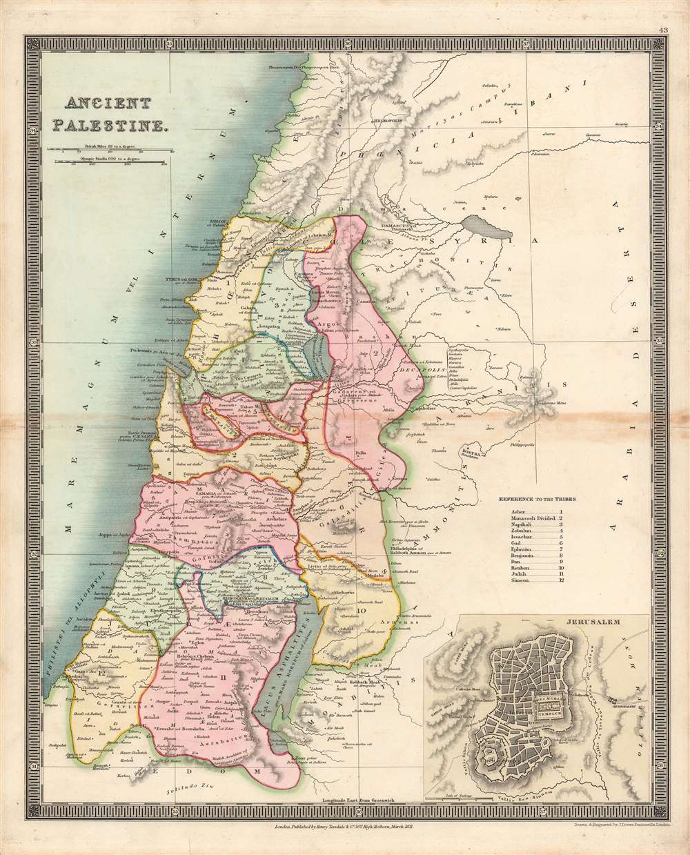
Ancient Palestine.
sold
- Digital Map Information
- Suitable for large format printing
- DPI: 600
- File Size: 34.32 MB
- File Type: ZIP / TIFF
- ICC color profile embedded
- Delivered instantly via download link
Here is Henry Teesdale / John Dower's 1831 map of the Holy Land as it appeared in ancient times, published in A New General Atlas of the World. It illustrates the location of the Twelve Tribes of Ancient Israel, as discussed in the Bible, in particular the Book of Joshua. (more details)
California's greatest and most accessible scenic playground!
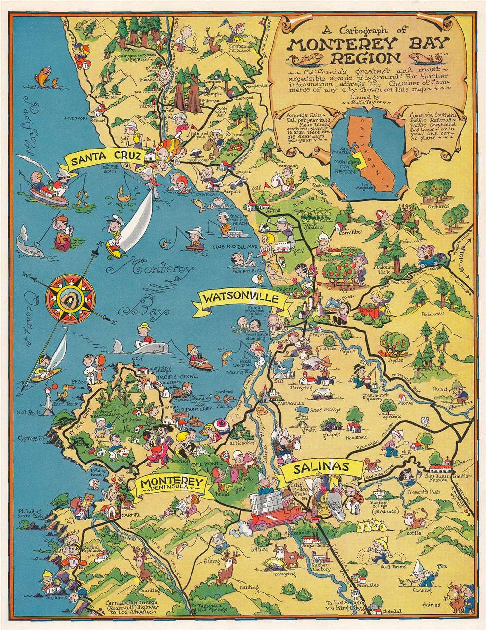
A cartograph of Monterey Bay region.
sold
- Digital Map Information
- Suitable for large format printing
- Full resolution TIFF file
- ICC color profile embedded
- Delivered instantly via download link
This is a c. 1950 pictorial map or 'cartograph' by Ruth Taylor depicting the Monterey Bay and surrounding communities along the California central coast. The richness and variety of the region's economy and culture are illustrated, ranging from maritime activities to golfing, hunting, and rodeos. (more details)
An amazing example of Harrison's innovative spherical perspective.
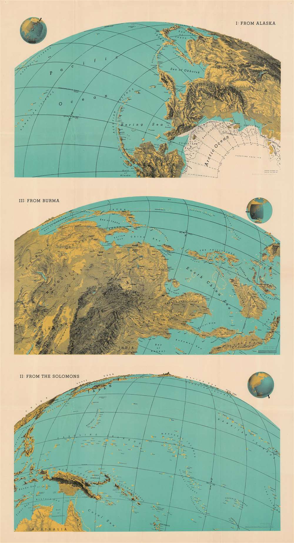
I: From Alaska. III: From Burma. II: From the Solomons.
sold
- Digital Map Information
- Suitable for large format printing
- File Size: 199.19 MB
- File Type: ZIP / TIFF
- ICC color profile embedded
- Delivered instantly via download link
This 1943 Richard Edes Harrison map of the Pacific exemplifies his innovative spherical projection, which he employed to good effect in his maps produced leading up to and during the Second World War. Many of Harrison's wartime readers responded enthusiastically to his approach - although isolationist critics complained that his decision to abandon more familiar projections was a polemical choice intended to emphasize the proximity of various theatres of war to American interests - particularly in the maps he produced prior to America's entry into the war. This was less the case with this triple map, printed well into the conflict and focusing on the likely approaches to Japan that might be exploited by the United States. (more details)
Historic churches, schools, and other locations around Scituate.
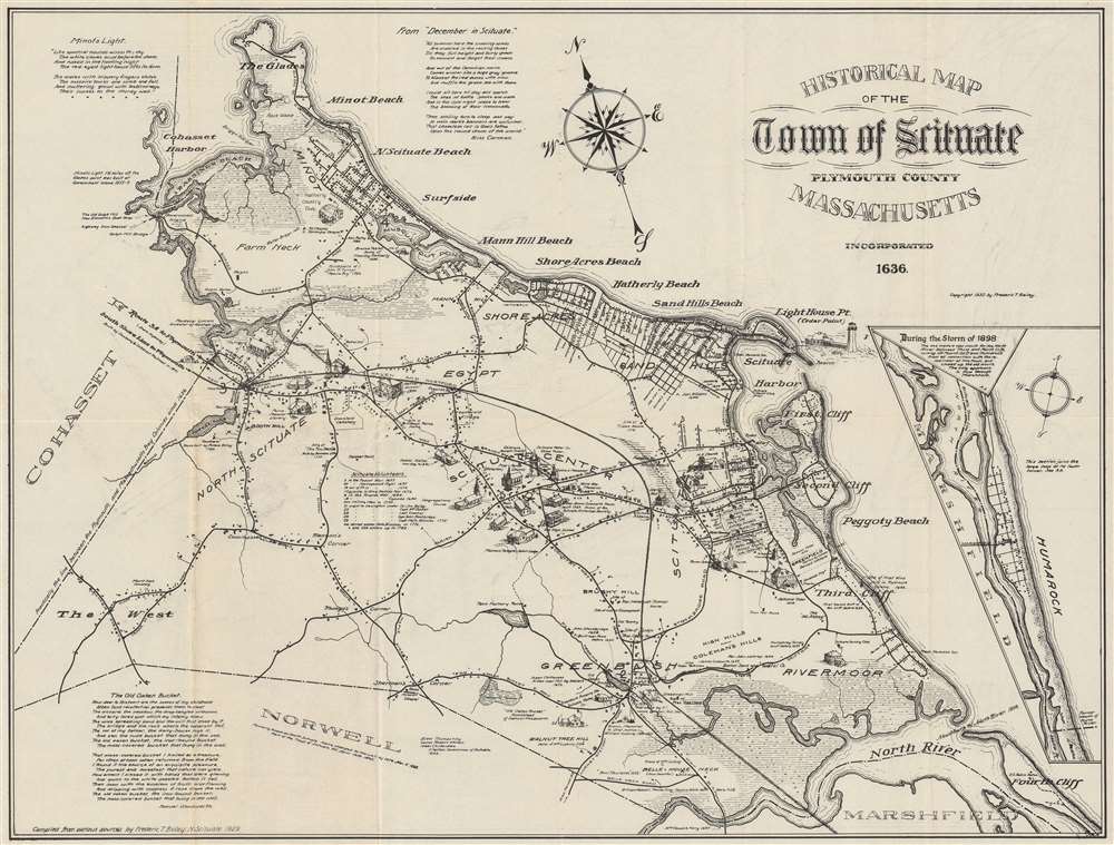
Historical Map of the Town of Scituate Plymouth County Massachusetts.
sold
- Digital Map Information
- Suitable for large format printing
- File Size: 52.66 MB
- File Type: ZIP / TIFF
- ICC color profile embedded
- Delivered instantly via download link
This is a 1930 Frederic T. Bailey pictorial map of Scituate, Massachusetts, drawn to highlight the town's history and charm. (more details)
Industry and production in the post-war United States.
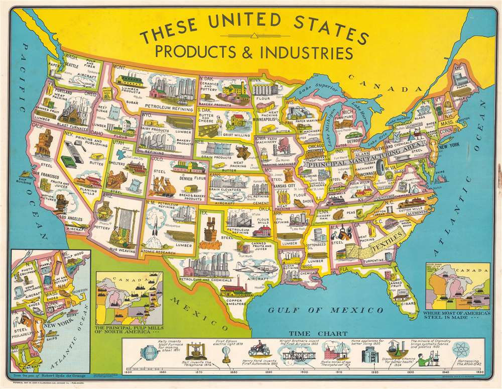
The United States Products and Industries.
sold
- Digital Map Information
- Suitable for large format printing
- File Size: 168.78 MB
- File Type: ZIP / TIFF
- ICC color profile embedded
- Delivered instantly via download link
This is a 1949 Robert Hyde de Grange pictorial map of the United States illustrating the post-WWII economic boom. (more details)
Infamous island, murky history.
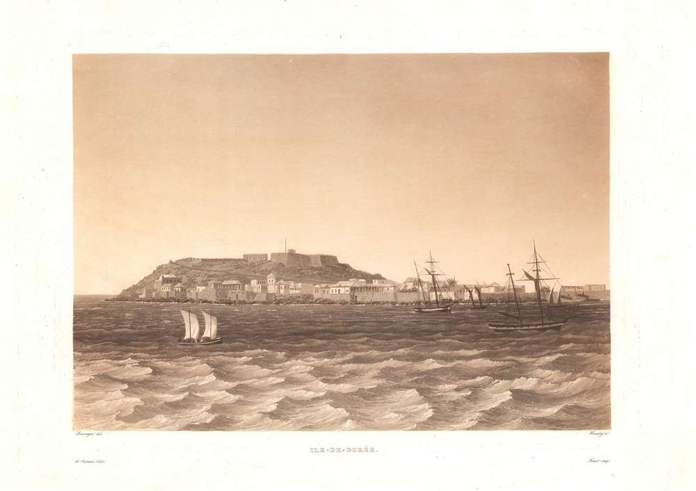
Ile-de-Goree.
sold
- Digital Map Information
- Suitable for large format printing
- DPI: 600
- File Size: 26.04 MB
- File Type: ZIP / TIFF
- ICC color profile embedded
- Delivered instantly via download link
This is a c. 1835 Lauvergne / Himely view of Gorée Island, off the coast of Dakar, Senegal. Various European powers fought over this strategically located island for more than three centuries, during which it became a conduit in the Transatlantic Slave Trade. In the 20th century, the island's Maison des Esclaves became one of the world's most prominent memorials to the slave trade. (more details)
Resources throughout the United States.

These United States and Their Resources.
sold
- Digital Map Information
- Suitable for large format printing
- File Size: 189.96 MB
- File Type: ZIP / TIFF
- ICC color profile embedded
- Delivered instantly via download link
This is a 1949 Robert Hyde de Grange pictorial map of the United States and its resources. The map is part of a series prepared by de Grange to highlight the post-WWII economic boom - in its various aspects. (more details)
Find your way around during your visit to Tampa.

Greater Tampa Florida.
sold
- Digital Map Information
- Suitable for large format printing
- Full resolution TIFF file
- ICC color profile embedded
- Delivered instantly via download link
This is a 1953 MacDonald Printing Company city map of Tampa, Florida. An inset of downtown Tampa occupies the lower right, with thirty locations are numerically identified, including City Hall, the University of Tampa, Union Station, and several hotels. Both the Atlantic Coast Line Railroad and the Seaboard Air Line Railroad are noted. (more details)
Access to Cape Cod, Nantucket, and Martha's Vineyard.

Old Colony Line to Martha's Vineyard Cottage City and Nantucket.
sold
- Digital Map Information
- Suitable for large format printing
- File Size: 71.5 MB
- File Type: ZIP / TIFF
- ICC color profile embedded
- Delivered instantly via download link
This is an 1890 George H. Ellis broadside map of eastern Massachusetts and the Old Colony Line Railroad. The broadside promotes the Old Colony's service between Boston and Cape Cod, Newport, and Providence (along with numerous other cities and towns) and ferry service to Martha's Vineyard and Nantucket. Thick lines highlight the Old Colony's rail network and cities and towns throughout. Thinner blue lines illustrate connecting railroads, such as the New York and New England Railroad and the New York, Providence, and Boston Railroad. Text informs on schedule changes intended to take effect on Monday, September 8, 1890. (more details)
Apex of the Texas Gusher Age.

[Texas Oil and Gas Deposits.]
sold
- Digital Map Information
- Suitable for large format printing
- File Size: 101.81 MB
- File Type: ZIP / TIFF
- ICC color profile embedded
- Delivered instantly via download link
This is a c. 1936 C. F. Nichols diazo map of Texas oil and natural gas deposits issued at the height of the Texas Oil Boom (1901 - 1940s). The map captures the brief moment when Texas (and the United States) was poised to dominate global petroleum production : the emergence of industrialized Texas, and the beginning of the modern Oil Age. The map was produced using a printing technique intended for fast, short-run printings in the field, suggesting that this was a document not intended for general publication, but for corporate internal planning. That this document should be produced under the copyright of oil magnate C. F. Nichols raises the implication that it was intended for his company's strategic planning of oil drilling and exploitation. (more details)
Printed in Kathmandu.
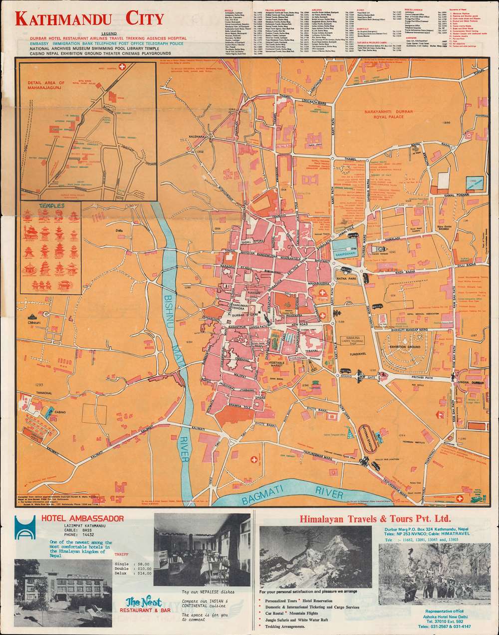
Kathmandu City. / Kathmandu Valley.
sold
This is an attractive c. 1970 Suresh B. Malla city map of Kathmandu, Nepal, issued by Suresh B. Malla. The map is printed on both sides, recto and verso. The recto details the city of Kathmandu and the verso the Kathmandu Valley. It was designed with the foreign tourist in mind and features a wealth of practical information for the traveler - locations of embassies, banks, grocers, hospitals, police, hotels, trekking companies, and more. On the verso, there are advertisements for Royal Nepal Airlines. (more details)
An attractive, scholarly Holy Land map.
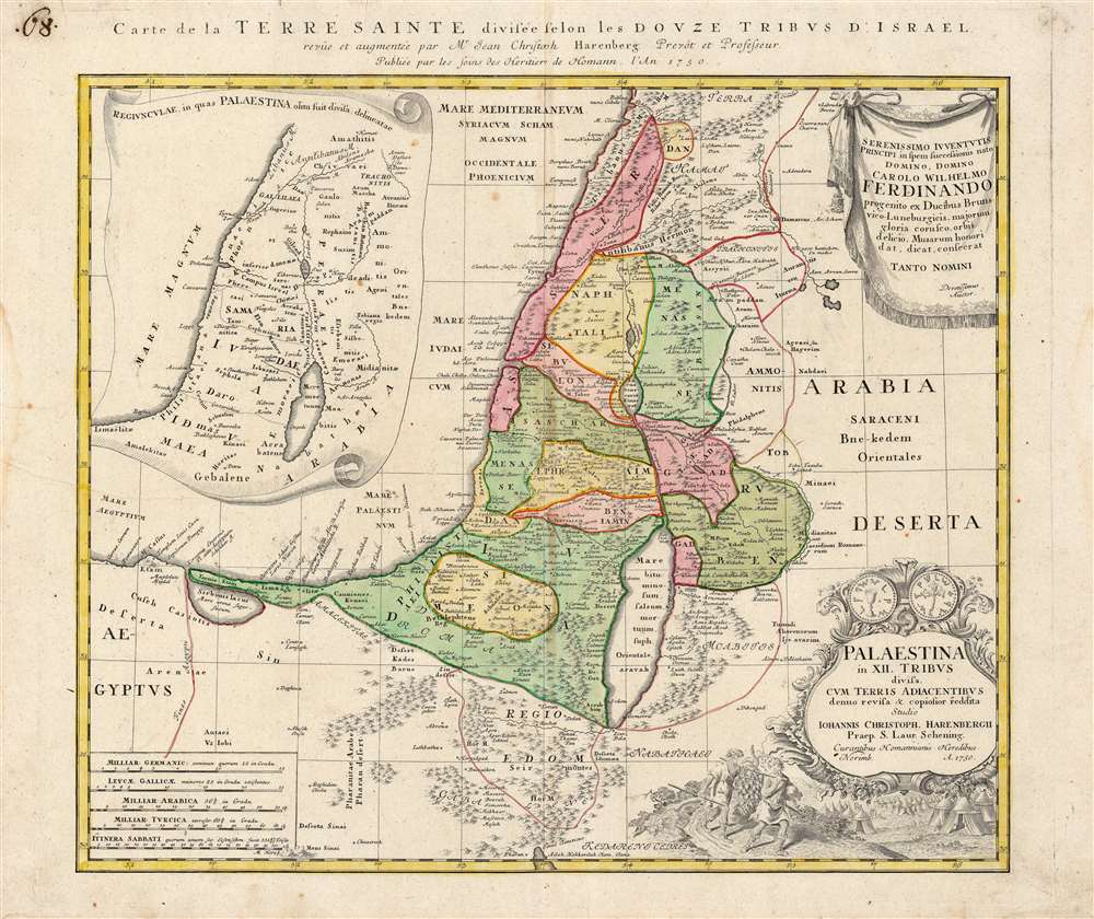
Palaestina in XII Tribus divisa cum Terris Adiacentibus…
sold
- Digital Map Information
- Suitable for large format printing
- DPI: 600
- File Size: 77.78 MB
- File Type: ZIP / TIFF
- ICC color profile embedded
- Delivered instantly via download link
This is an interesting and appealing 1750 map of the Holy Land, printed by the Homann Heirs firm on behalf of the German theologian and historian Johann Christoph Harenberg (1696 - 1774). The map focuses on the land of Canaan, as divided between the 12 Tribes of Israel, presenting the Biblical place names in a modern geographical framework. An inset in the upper left illustrates the provinces in which the region of Palestine would later be divided during the Roman era (Judaea, Samaria and so on.) Thus, the map is applicable for the student of both the Old Testament and the New. (more details)
Entertaining pictorial map of New Orleans during Mardi Gras.

New Orleans.
sold
This is an uncommon and creative 1972 Trans Continental Cartographers pictorial map of New Orleans, Louisiana. The map depicts the center of modern New Orleans, from the Mississippi River (labeled here as 'The Mighty Mississippi') to the shores of Lake Pontchartrain during Mardi Gras. A depiction of the famous Mardi Gras parade features prominently, with floats, performers in costume, and a pink elephant all taking part. Other mentions of Mardi Gras include a banner pulled by a biplane in the upper right corner and a depiction of the Mardi Gras fountain on the shore of Lake Pontchartrain. The map also includes depictions of several well-known New Orleans landmarks, such as Tulane University, the Sugar Bowl, the Superdome, and the French Quarter or Vieux Carre. It depicts the Lake Pontchartrain Causeway, which was opened in 1969, and is the longest continuous bridge over water in the world at 23.83 miles. (more details)
Pre-war era map of Jacksonville.
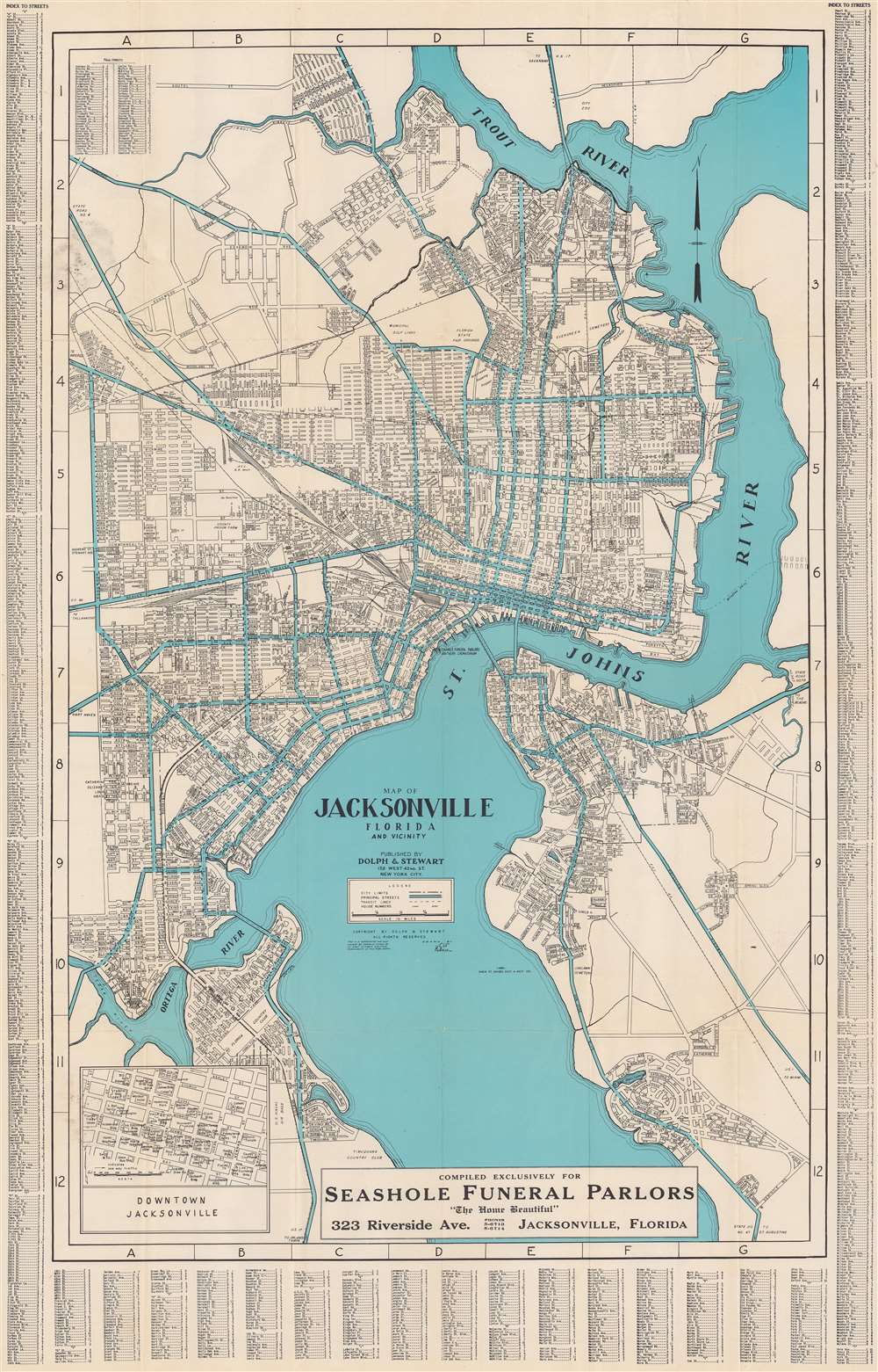
Map of Jacksonville, Florida, and vicinity.
sold
- Digital Map Information
- Suitable for large format printing
- Full resolution TIFF file
- ICC color profile embedded
- Delivered instantly via download link
This is a c. 1930 Dolph and Stewart city plan or map of Jacksonville, Florida and its immediate environs highlighting the city's ongoing development. The map focuses on what is now Jacksonville's urban core, prior to consolidation: the area loosely delineated by the Ortega River, St. John's, and the Trout River. The Lake Forest neighborhood is appears at a time when it would have sported pecan groves. The proposed road and bridge linking Edgewood and Tallulah Avenues is marked but has not yet been constructed. The bridge, crossing Moncrief Creek, was not completed until 1945. (more details)