
Colonial warfare in one of the British Empire's frontiers.
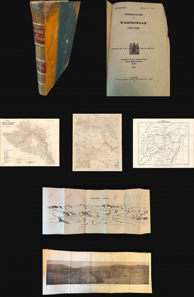
Operations in Waziristan 1919 - 1920. Confidential. Serial No. 224.
$1,400.00
Acquire
- Digital Map Information
- Suitable for large format printing
- Full resolution TIFF file
- ICC color profile embedded
- Delivered instantly via download link
This is the official 1921 confidential report on the British-Indian military campaign to Waziristan (1919 - 1920), compiled and published by the General Staff Army Headquarters in India, with maps produced by the Survey of India. The volume offers a comprehensive and rare account of the campaign and is essential for understanding British military strategy on the tumultuous Afghan frontier. (more details)
Celebration of Congolese cultural diversity.
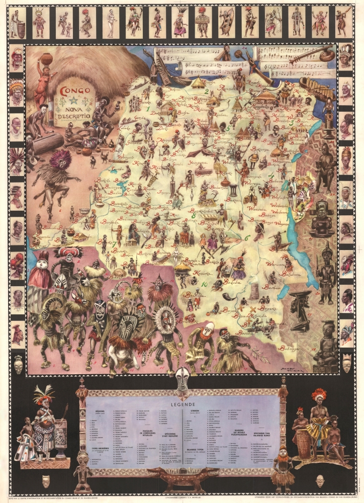
Congo Nova Descriptio.
sold
- Digital Map Information
- Suitable for large format printing
- File Size: 109.39 MB
- File Type: ZIP / TIFF
- ICC color profile embedded
- Delivered instantly via download link
This is a c. 1950 James Thiriar pictorial map of the Congo - a veritable celebration of Congolese tribal peoples and cultures. (more details)
Algerian Colonial infantry unit during World War II.
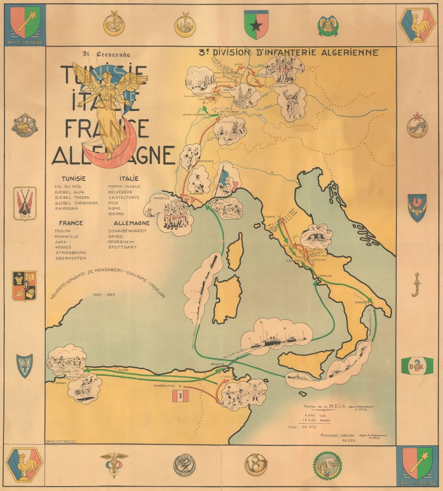
3e Division D'Infanterie Algerienne Tunisie Italie France Allemagne.
sold
- Digital Map Information
- Suitable for large format printing
- File Size: 40.92 MB
- File Type: ZIP / TIFF
- ICC color profile embedded
- Delivered instantly via download link
This is a rare 1945 World War II pictorial route map of the 3rd Algerian Infantry Division in North Africa, Italy, France, and Germany. The map follows the Division from activation until the end of the war and uses vignette illustrations to highlight important moments during the Division's war. This piece holds historical significance as a route map dedicated to a colonial unit. It is a glimpse into the wartime experiences of a group that is often overlooked by popular histories published today. (more details)
Last Stage of the 'Great Game'.
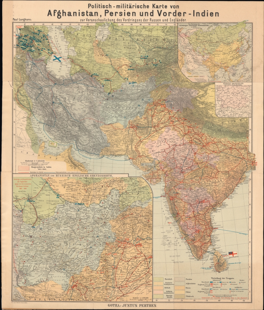
Politisch-militärische Karte von Afghanistan, Persien und Vorder-Indien : zur Veranschaulichung des Vordringens der Russen und Engländer.
$950.00
Acquire
- Digital Map Information
- Suitable for large format printing
- Full resolution TIFF file
- ICC color profile embedded
- Delivered instantly via download link
An intriguing c. 1900 by Paul Langhans map of Central and South Asia, focusing on Afghanistan. It coincided with the last stage of the 'Great Game' competition between Russia and Great Britain, whose military forces throughout the region are meticulously cataloged. (more details)
Stunningly beautiful old color.
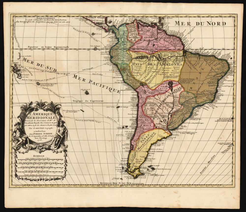
L' Amerique Meridionale, Dressée sur les Observations de Mrs. de l'Academie Royale des Sciences, et quelques autres, et sur les Memoires les plus recens Par G. De l'Isle Geographe. a Amsterdam chez Pierre Schenk sur le vygendam, a l' Atlas de Sanson. Avec Privilege 1708.
sold
- Digital Map Information
- Suitable for large format printing
- File Size: 21.18 MB
- File Type: ZIP / TIFF
- ICC color profile embedded
- Delivered instantly via download link
This is a magnificent example of Peter Schenk's 1708 edition of De L'Isle's 1700 map of South America, with striking rich original color. The map embraces South America from Barbados southwards to just beyond Tierra del Fuego. Although derivative of De L'Isle, the map is richly decorative with a wealth of intriguing cartographic anomalies and tidbits. (more details)
Ephemeral configuration of the American West.
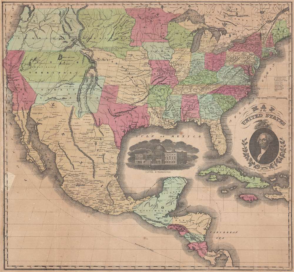
Map of the United States.
sold
- Digital Map Information
- Suitable for large format printing
- DPI: 600
- File Size: 43.79 MB
- File Type: ZIP / TIFF
- ICC color profile embedded
- Delivered instantly via download link
This is an 1851 Case, Tiffany, and Company map of the United States featuring an ephemeral, if slightly outdated, configuration of the American West. Created during the westward expansion of the United States, the geography of the American West is presented in one of its most ephemeral configurations. (more details)
France and the China Trade.
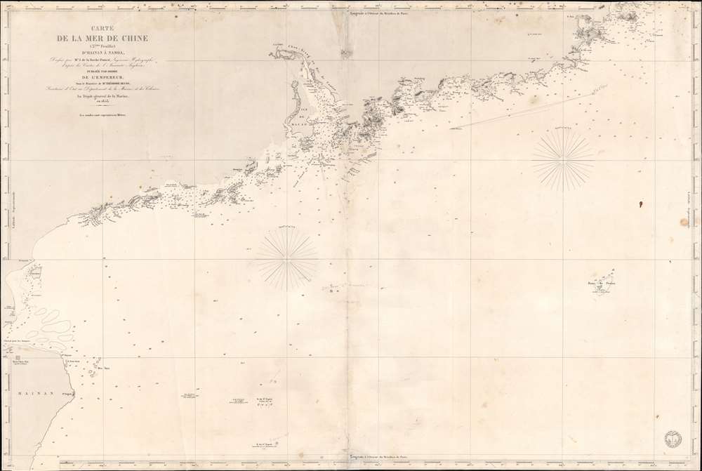
Carte de la Mer de Chine (3ème Feuille) d'Hainan à Namoa.
$750.00
Acquire
- Digital Map Information
- Suitable for large format printing
- Full resolution TIFF file
- ICC color profile embedded
- Delivered instantly via download link
This is an 1853 French Dépôt de la Marine nautical map of the coast of China from Hainan to Nan'ao Island (Namao), including Macao, Hong Kong, and Guangzhou (Canton). The chart was issued to support growing French trade with China in the Treaty Port Era. (more details)
Daily steamship service out of Seattle, Washington.

American Mail Line Map to Adventure Sail via Seattle - Japan, China, the Philippines - Round the World. / American Mail Line Map of Adventure Japan, China, the Philippines and Round the World via Seattle.
sold
- Digital Map Information
- Suitable for large format printing
- Full resolution TIFF file
- ICC color profile embedded
- Delivered instantly via download link
This is an eye-catching 1936 Frank McCaffrey pictorial map of the Pacific created for the steamships of the American Mail Line. The American Mail Line was a pioneering service that operated daily out of Seattle, Washington, to the Far East. (more details)
Rare German Unit Route Map issued during WWII.
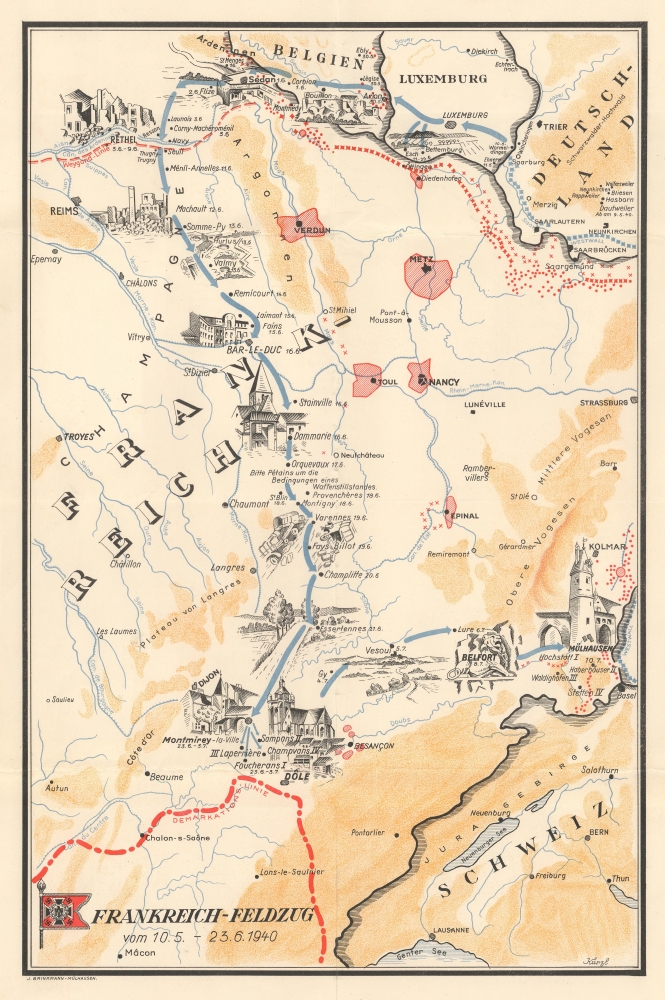
Frankreich-Feldzug vom 10.5 - 23.6.1940.
sold
- Digital Map Information
- Suitable for large format printing
- File Size: 9.15 MB
- File Type: ZIP / TIFF
- ICC color profile embedded
- Delivered instantly via download link
An extremely rare find, this is a c. 1941 German World War II route map of France illustrating a German unit's movements during the 1940 Battle of France. German World War II route maps are much less prominent than comparable maps made for American and British units. Here, dates when the unit entered French cities and villages in June and July 1940 are noted, creating a narrative of the unit's movements. (more details)
The Sahara's 'City of Gold' revealed.
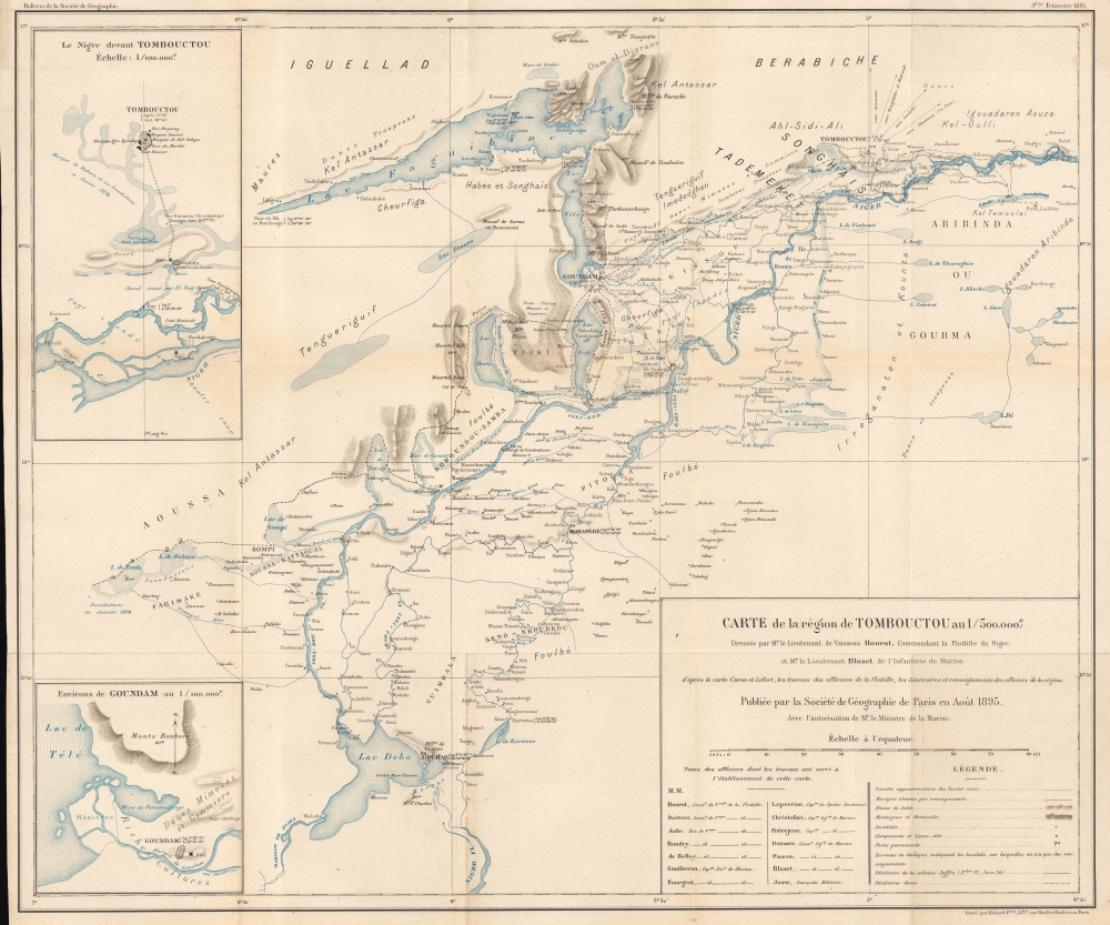
Carte de la région de Tombouctou au 1/500.000e.
sold
- Digital Map Information
- Suitable for large format printing
- File Size: 21.49 MB
- File Type: ZIP / TIFF
- ICC color profile embedded
- Delivered instantly via download link
This highly detailed map of the Niger River, Timbuktu, and environs - one of the first to offer the European audience any real information on the fabled desert 'city of gold'. It was prepared by Lieutenants Hourst and Bluzet and published in the 1895 Bulletin de la Société de Géographie. Hourst was the leader of an ambitious French expedition to descend along the Niger River from Timbuktu to the Atlantic Ocean, (more details)
Sublimating an Imperial Frontier.

滿洲農業移民入植圖 / [Map of Agricultural Migrant Settlement in Manchuria].
sold
- Digital Map Information
- Suitable for large format printing
- File Size: 46.11 MB
- File Type: ZIP / TIFF
- ICC color profile embedded
- Delivered instantly via download link
Visually impressive and packed with fascinating detail, this 1938 map of Manchuria was produced by the Japanese government's Ministry of Colonial Affairs to summarize efforts to settle Japanese colonists in the puppet state of Manchukuo. (more details)
Colonial Africa following the Great War.

Central and Southern Africa by J. G. Bartholomew, LL. D., F.R.G.S.
sold
- Digital Map Information
- Suitable for large format printing
- File Size: 79.12 MB
- File Type: ZIP / TIFF
- ICC color profile embedded
- Delivered instantly via download link
This large, bright, folding 1921 J. G. Bartholomew map of Central and Southern Africa. (more details)
France and the Nguyễn.
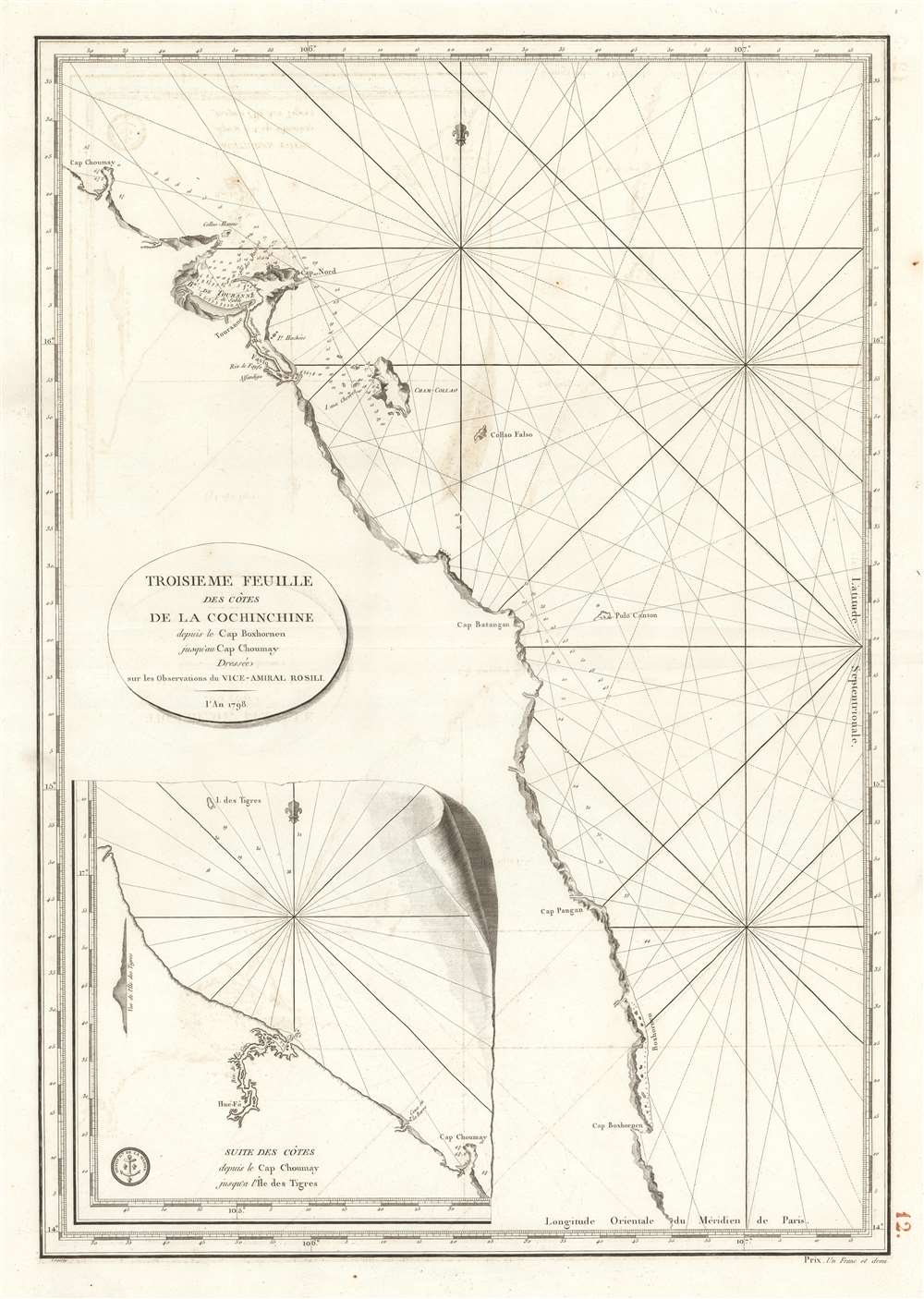
Troisieme Feuille des cotes de la Cochinchine depuis le Cap Boxhornen jusqu'au Cap Choumay.
$300.00
Acquire
- Digital Map Information
- Suitable for large format printing
- Full resolution TIFF file
- ICC color profile embedded
- Delivered instantly via download link
This is a 1798 French Dépôt de la Marine nautical map of southern Vietnam, then the kingdom of Cochinchine. This chart marks the early stages of French involvement in the Tây Sơn Rebellion in support of Nguyễn Ánh, who would become Vietnam's first emperor. (more details)
Pacific War after Guadalcanal.
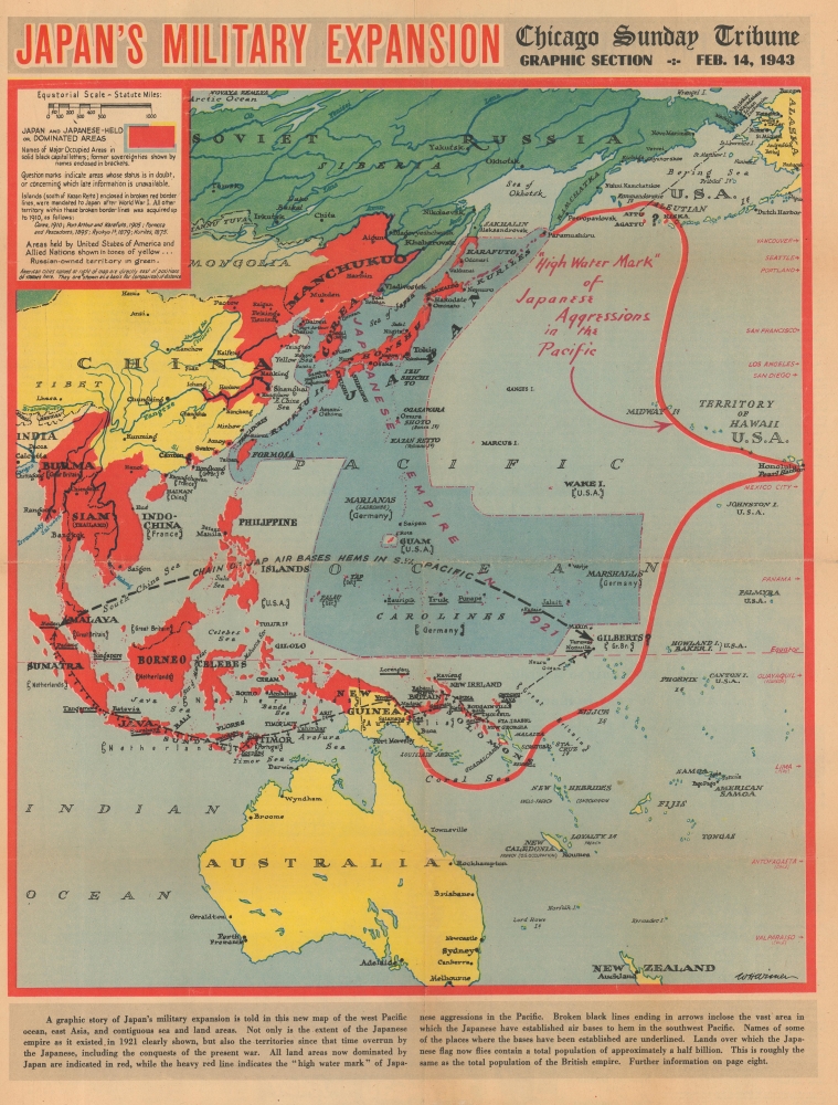
Japan's Military Expansion.
sold
- Digital Map Information
- Suitable for large format printing
- Full resolution TIFF file
- ICC color profile embedded
- Delivered instantly via download link
This is a 1943 William Wisner map of the Japanese Empire during World War II. Published on February 14, 1943, Wisner's map captures the moment when the tide of the war was turning in the Allies' favor. The American Navy sank 4 Japanese aircraft carriers during the June 1942 Battle of Midway, and the Japanese had been on the back foot since. The Battle of Guadalcanal ended just days before this map's publication, securing the first Allied ground victory in the Pacific. By publishing this map, the Chicago Sunday Tribune gave its readers a visual summary of the status of the war in the Pacific following the critical victory at Guadalcanal. (more details)
Premier general chart of New England at the outbreak of the Revolutionary War.

The Coast of New England.
sold
- Digital Map Information
- Suitable for large format printing
- File Size: 47.49 MB
- File Type: ZIP / TIFF
- ICC color profile embedded
- Delivered instantly via download link
This is J. F. W. Des Barres' 1776 nautical map of New England. This was the best and most accurate general chart of New England issued at the outbreak of the American Revolutionary War (1775 - 1783). (more details)
Eyeing a colonial empire in French Indochina.

Carte de l'Indo-Chine Orientale.
sold
- Digital Map Information
- Suitable for large format printing
- File Size: 51.45 MB
- File Type: ZIP / TIFF
- ICC color profile embedded
- Delivered instantly via download link
This is an 1881 Jules-Léon Dutreuil de Rhins map of eastern Indochina (Vietnam, Laos, Cambodia, and part of Thailand) - window into French colonial intervention in Southeast Asia. This map was published 6 years before French Indochina was formally established but underscores growing French interest and investment in Indochina. (more details)
Carriage making capital of the world.
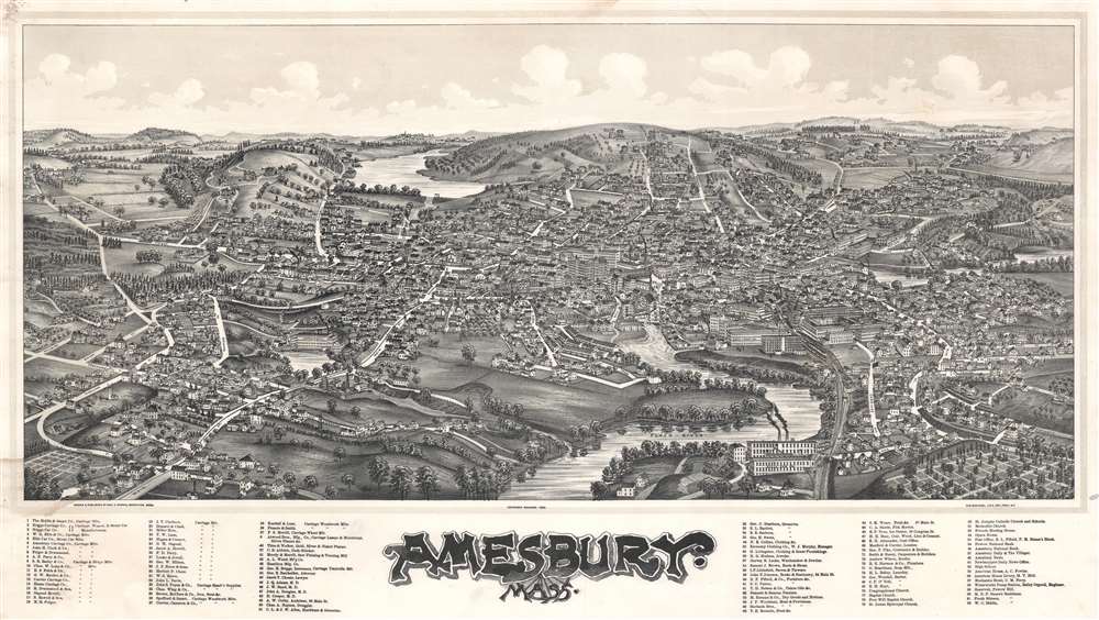
Amesbury, Mass.
sold
- Digital Map Information
- Suitable for large format printing
- File Size: 58.87 MB
- File Type: ZIP / TIFF
- ICC color profile embedded
- Delivered instantly via download link
A stunning George E. Norris and Lucian Burleigh bird's-eye view and map of Amesbury, Essex County, Massachusetts. The view follows the Great Amesbury Fire of 1888, when much of the town center burnt to the ground - here rapid rebuilding and urban renewal give evidence to the city's resilience and prosperity.The view looks northeast on Amesbury from a high point above the Merrimack River. The Powwow River, which runs through town, appears at center. Mt. Prospect cemetery appears in the lower right. Main Street angles in from the lower left corner until it changes to School Street at the top center. Some 92 important locations are noted, ranging from schools and churches to local businesses. A rakish art nouveau title gives evidence of the emerging aesthetic. (more details)
Earliest obtainable plan of New Orleans.

Plan de la Nouvelle Orleans.
sold
- Digital Map Information
- Suitable for large format printing
- File Size: 5.05 MB
- File Type: ZIP / TIFF
- ICC color profile embedded
- Delivered instantly via download link
This scarce 1764 map by J. N. Bellin is the earliest obtainable map of New Orleans, Louisiana. With cartography dating from 1744, this is among the earliest obtainable maps of New Orleans. (more details)
Promoting Dutch investment in American railroads.

Kaart der Noord Amerikaansche Spoorwegen.
sold
- Digital Map Information
- Suitable for large format printing
- File Size: 93 MB
- File Type: ZIP / TIFF
- ICC color profile embedded
- Delivered instantly via download link
This revealing publication is a 1903 Salomon Van Oss map of the United States promoting Dutch investment in American railroads. Maps like this, though rarely seen today, were instrumental in the rise of American railroad barons, as Dutch and other foreign investment provided much of the capital for the mid-19th century American Railroad Boom. (more details)
Italian Edition of the Earliest Acquirable Plan of Paris.
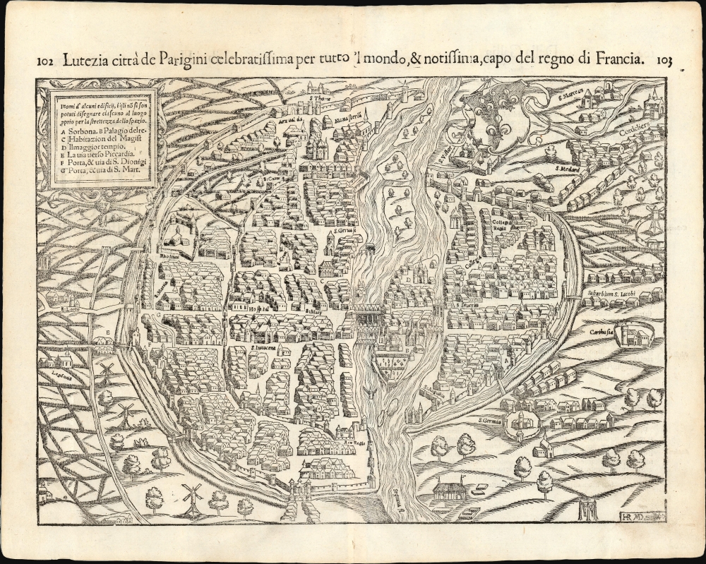
Lutetia Parisiorum urbs, toto orbe celeberrima notissimaque, caput regni Franciæ.
sold
- Digital Map Information
- Suitable for large format printing
- Full resolution TIFF file
- ICC color profile embedded
- Delivered instantly via download link
This attractive 1550 woodcut map of Paris is the earliest acquirable plan of the city, here from the 1558 Italian edition of Sebastian Münster's Cosmographia. (more details)