
First transcontinental commercial passenger flight - an aviation revolution.
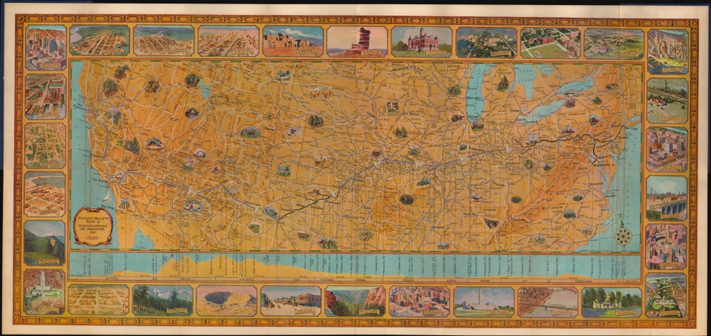
Illustrated Map of the Route of Transcontinental Air Transport, Inc.
sold
- Digital Map Information
- Suitable for large format printing
- Full resolution TIFF file
- ICC color profile embedded
- Delivered instantly via download link
This is a 1929 Rand McNally and Transcontinental Air Transport pictorial map of the United States highlighting the inauguration of Transcontinental's cross-country service. Combining air and rail service, the TAT 'Coast to Coast' route was the first cross-country air-passenger route. This piece was a memento presented to travelers boarding the airplane. An example even appeared in Transcontinental's 1929 film promoting the revolutionary route, 'Coast to Coast in 48 Hours'. (more details)
Black Panthers at Yale.

May Day New Haven.
sold
An exceptional 1970 newspaper and map detailing the May Day 1970 Black Panther protest in New Haven, Connecticut. It was published by 'View From the Bottom', 'Yale Strike News', and the 'Committee to Defend the Panthers'. In addition to the map, the newspaper proclaims the innocence of the imprisoned Panthers and provides information about the protest. (more details)
If it exists you can find it here, if it doesn't this is where it will be invented.

A Film and Video 'Infomap' Guide to Los Angeles Post Production 1997 1999.
sold
An impressive 1997 pictorial view of Los Angeles by Bayside Promotions, highlighting the post-production industry, a subset of the region's larger film industry. It was published when an increasing share of post-production work was shifting to digital methods, which revolutionized editing and other post-production work. (more details)
Dante's world.

Dante Map by Mary Hensman.
sold
- Digital Map Information
- Suitable for large format printing
- File Size: 872.76 MB
- File Type: ZIP / TIFF
- ICC color profile embedded
- Delivered instantly via download link
This is a stunning 1892 arts and crafts style map by Mary Hensman illustrating the life and works of Dante Alighieri. The map was printed by C. R. Ashbee's Essex House Press, what many consider the heir to William Morris's Kelmscott Press. Hensman suggests that Ashbee himself was involved in the map's hand coloring. (more details)
The failed dream of the 'Salton Riviera'.

The Fabulous Salton Sea 'Nature's Magnificent Mistake... Man's Masterful Plan'
sold
An unrecorded c. 1958 pictorial map of the Salton Sea, prepared by Don Frank for the Salton City Chamber of Commerce. It presents the sea and Salton City as a desert paradise, a combination of accident and human endeavors to shape the environment. However, by the 1970s, inconsistent sea levels, increasing water salinity, and air pollution caused most of the city to be abandoned and drastically cut the sea's appeal as a recreational destination. (more details)
New Hampshire and World News.
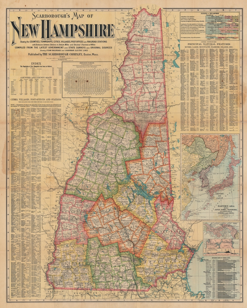
Scarborough's Map of New Hampshire.
sold
- Digital Map Information
- Suitable for large format printing
- File Size: 99.7 MB
- File Type: ZIP / TIFF
- ICC color profile embedded
- Delivered instantly via download link
This is a 1904 Scarborough Company map of New Hampshire. Scarborough maps are widely admired for their boldly distinctive typography, and New Hampshire is among the rarest in the series. The map includes insets illustrating current events: the Russo-Japanese War and the construction of the Panama Canal. Although unfolding far from New Hampshire, their inclusion here is no error and underscores the state's global maritime connections out of Portsmouth. Scarborough maps are much admired for their bold distinctive typography. (more details)
A moment in Aspen.
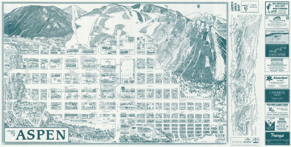
Picture Map of Aspen.
sold
This is a 1989 Chris King's Picture Map of Aspen, Colorado. King's Map, published in numerous editions over many years, chronicles Aspen's business and social life, with each edition offering a novel record of Aspen's development. (more details)
French and English land grants along Lake Champlain.
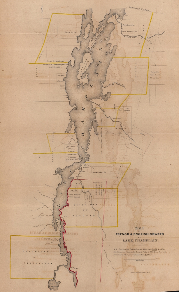
Map of French and English Grants on Lake Champlain.
sold
- Digital Map Information
- Suitable for large format printing
- File Size: 16.86 MB
- File Type: ZIP / TIFF
- ICC color profile embedded
- Delivered instantly via download link
This is an 1851 Richard H. Pease map of Lake Champlain illustrating French and English land grants. These grants were key to both French and English attempts to establish control over the strategically and commercially signficant lake. (more details)
Training in the Mojave Desert for the North Africa campaign.
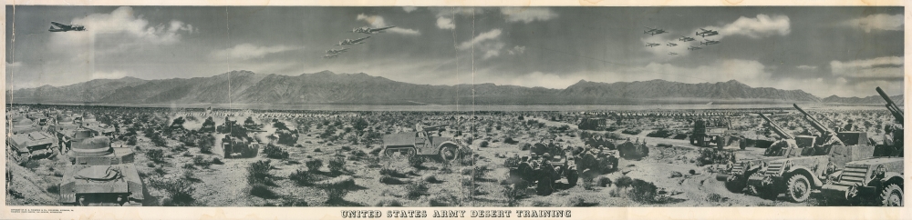
United States Army Desert Training.
$275.00
Acquire
- Digital Map Information
- Suitable for large format printing
- File Size: 60.96 MB
- File Type: ZIP / TIFF
- ICC color profile embedded
- Delivered instantly via download link
This is a c. 1942 W. R. Thompson composite panorama photograph of the United States Army desert training during World War II. Covering over 18,000 square miles in California, Arizona, and Nevada, the Desert Training Center was established by General George S. Patton to train the U.S. Forces for the 1942 - 1943 North African campaign. (more details)
Making Modern Moscow.
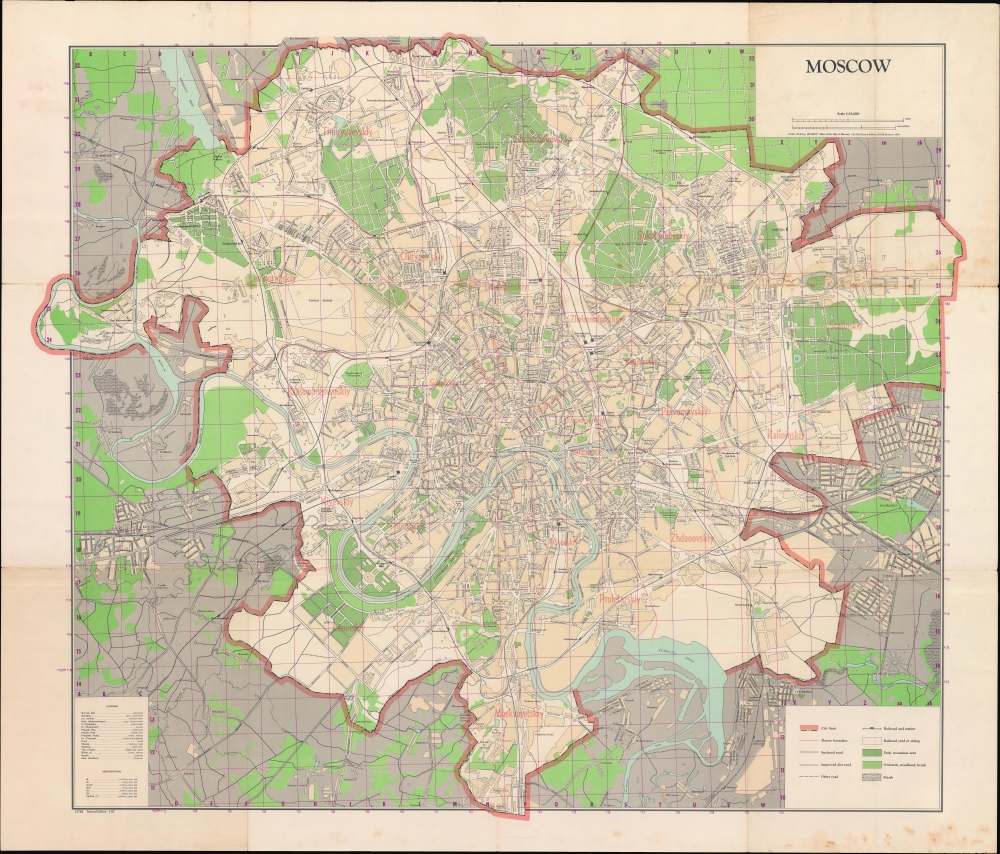
Moscow.
sold
A large and impressive 1957 map of Moscow, produced by the Central Intelligence Agency using a 1940 Russian-language original produced by the Soviet Main Administration of Geodesy and Cartography (G.U.G.K) as a basis. (more details)
More than Just Fantastic Weather.

Original manuscript of iconic pictorial map by Pulitzer Prize cartoonist.

The Picto-Map of Arizona.
sold
- Digital Map Information
- Suitable for large format printing
- File Size: 38.9 MB
- File Type: ZIP / TIFF
- ICC color profile embedded
- Delivered instantly via download link
This is the original pen and ink art, with additional hand color embellishment, of one of the most well-known Golden Age pictorial maps, Reg Manning's 'Arizona', signed and inscribed to fellow editorial cartoonist Jim Williams. The map was drawn in 1935, and copyright registered as the Picto-Map of Arizona, but was not committed to print until the 1938 publication of Reg Manning's Cartoon Guide of Arizona, where it was inserted into a pocket in the back as the 'Cartoon Map of Arizona (more details)
Baroque Masterpiece in the Mapping of Africa.
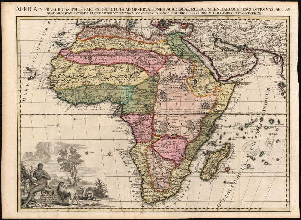
L'Afrique selon les nouvelles observations de Mssrs de l'Académie des sciences, etc., Africa in praecipuas ipsius partes distributa, ad observationes academiae regiae scientarum et exquisitissimas tabulas quae nunquam antehac lucen vederunt, Excusa A Francisco Halma, cum privilegio ordinum Hollandiae et westfrisiae.
sold
- Digital Map Information
- Suitable for large format printing
- Full resolution TIFF file
- ICC color profile embedded
- Delivered instantly via download link
This is the rare first state of François Halma's c. 1699 separately-issued map of Africa. Its unusually large folio size, bold and sophisticated engraving, and rich original color sets this map apart as one of the most beautiful obtainable late-17th century maps of the continent. (more details)
Beautiful south coast Maine!
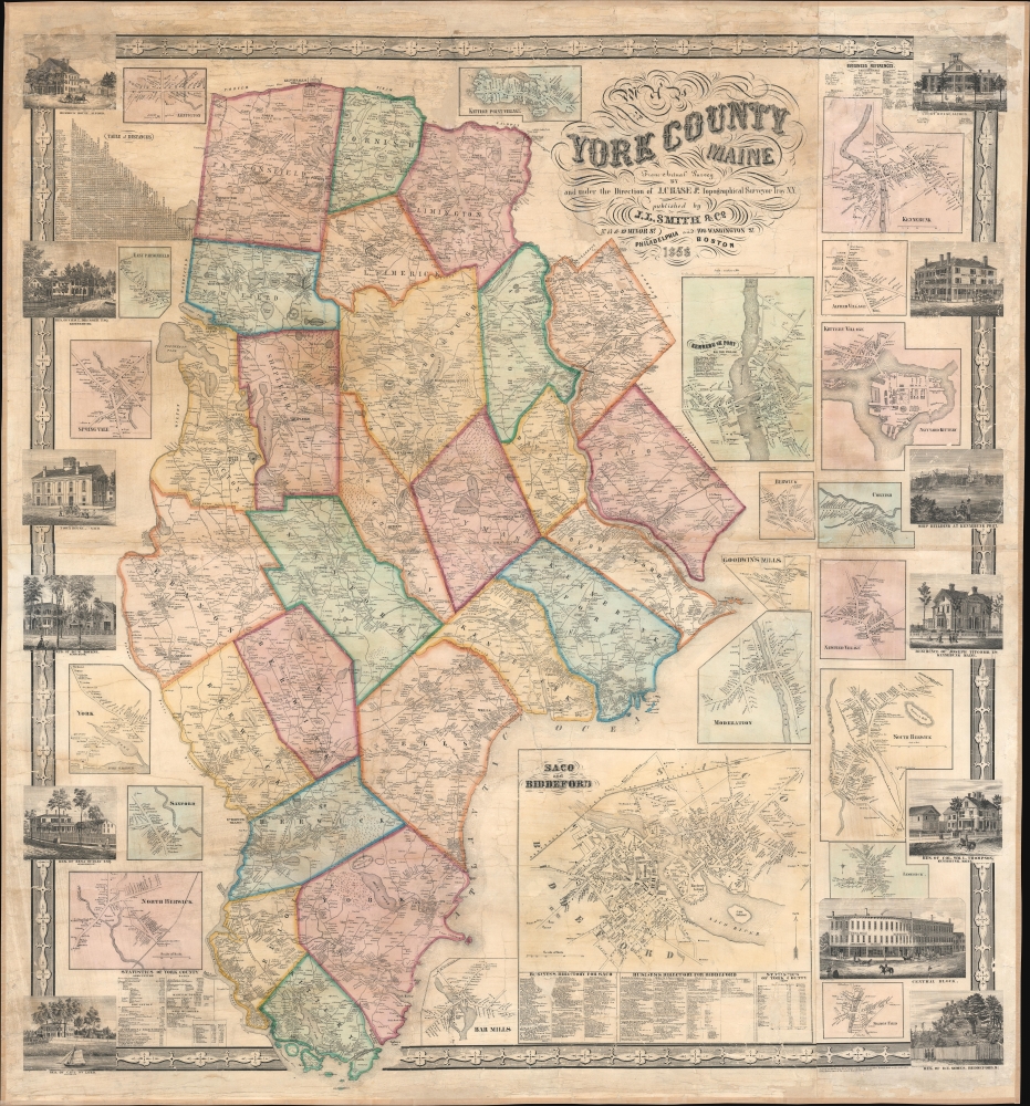
York County Maine.
sold
- Digital Map Information
- Suitable for large format printing
- File Size: 180.46 MB
- File Type: ZIP / TIFF
- ICC color profile embedded
- Delivered instantly via download link
An impressive 1856 Josiah Chase Jr. wall map of York County, Maine. (more details)
'The trouble in Afghanistan...'
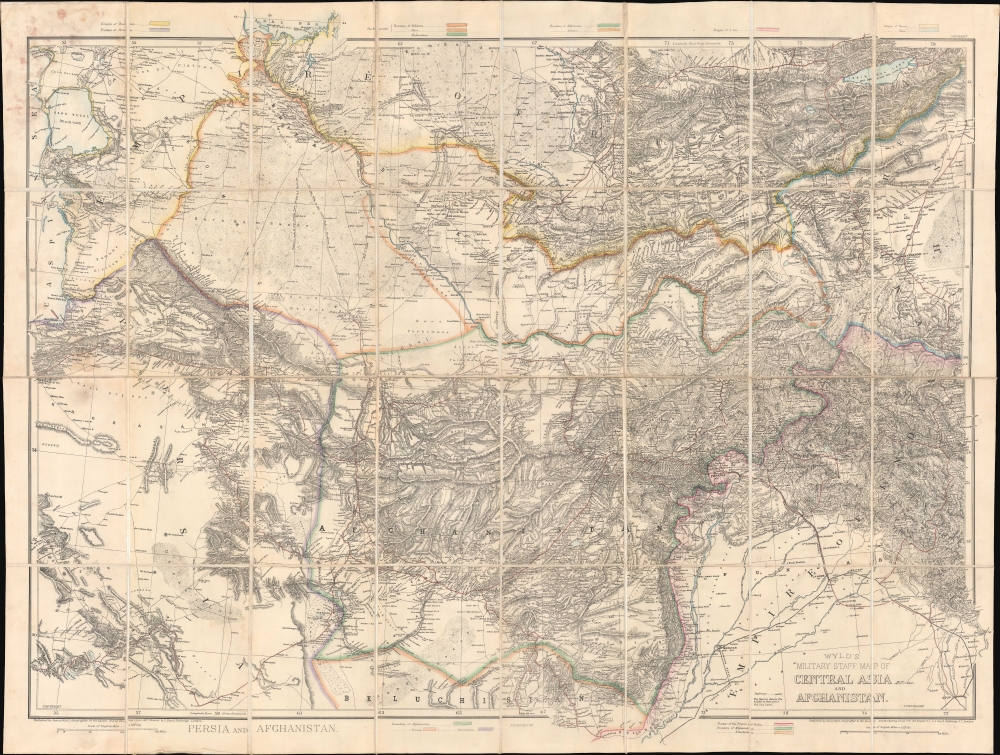
Wyld's Military Staff Map of Central Asia and Afghanistan.
sold
- Digital Map Information
- Suitable for large format printing
- Full resolution TIFF file
- ICC color profile embedded
- Delivered instantly via download link
This is James Wyld II's exceptional 1879 large-scale Military Staff Map of Afghanistan, issued for government and military planning at the height of the Second Anglo-Afghan War (1878 - 1880), part of the Great Game. Like Wyld's other 'military staff maps', this map was not part of his prolific commercial output, but rather made directly from the best government and private sources for the use of military commanders and strategists in the field. (more details)
Ptolemy's Second Projection.

Ptolemaei Typus.
sold
- Digital Map Information
- Suitable for large format printing
- Full resolution TIFF file
- ICC color profile embedded
- Delivered instantly via download link
This is Girolamo Ruscelli's 1561 first issue of a foundational work of Renaissance cartography: the map of the known world as understood at the time of the Roman Empire. This presentation of ancient geography is refreshingly unique in that it employs Ptolemy's second projection, as opposed to the more typical, simpler first projection. (more details)
First modern map of Mount Everest.

Mahalangur Himal Chomolongma - Mount Everest.
sold
This is the first and most important modern map of Mount Everest. This extraordinary map was published in 1957 by the Deutscher Alpenverein (German Alpine Club) and Österreichischer Alpenverein (Austrian Alpine Club) based upon photogrammetric survey work conducted by Erwin Schneider during the 1955 Norman G. Dyrhenfurth Himalaya Expedition. (more details)
One of the earliest depictions of California Wine Making on a map.
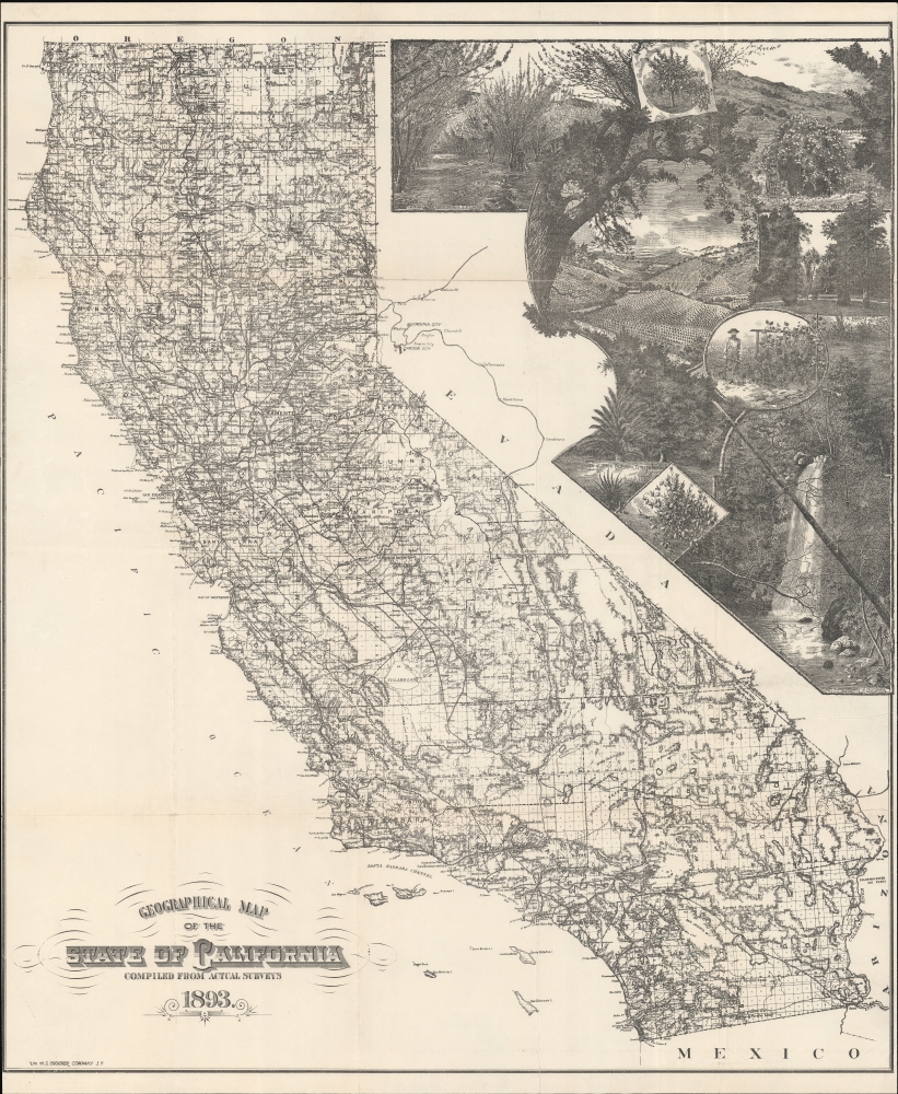
Geographical Map of the State of California Compiled from Actual Surveys.
sold
- Digital Map Information
- Suitable for large format printing
- File Size: 128.3 MB
- File Type: ZIP / TIFF
- ICC color profile embedded
- Delivered instantly via download link
A stunning separately-issued 1893 decorative map of California issued to promote the Crocker family business interests in the development and settlement of California. It is alone one of the earliest cartographic representations of viticulture in California. While the mapmaker, Henry Smith Crocker was on the surface a printer, his business interests were inextricably linked to those of this brother, Central Pacific railroad magnate Charles Crocker (1822 - 1888). H. S. Crocker used his publishing and printing empire to propagandize the Central Pacific as well as the general virtues of California as a place to resettle - this map being one such example, probably issued as a booster publication for the California exhibit at the 1893 Chicago Columbian Exposition. (more details)
Italian National Solidarity - except Rome.

Italia come si presenta nella sua configurazione naturale alla'altezza di circa 20, mille metri.
sold
- Digital Map Information
- Suitable for large format printing
- File Size: 22.08 MB
- File Type: ZIP / TIFF
- ICC color profile embedded
- Delivered instantly via download link
This is a c. 1865 Antonio Vallardi bird's-eye view of Italy. The view is issued in an unusual south-oriented perspective as if seen from an orbital advantage high above the Italian Alps. It captures Italy as a whole amid the Risorgimento. (more details)
Suggesting a Northwest Passage via Hudson Bay.
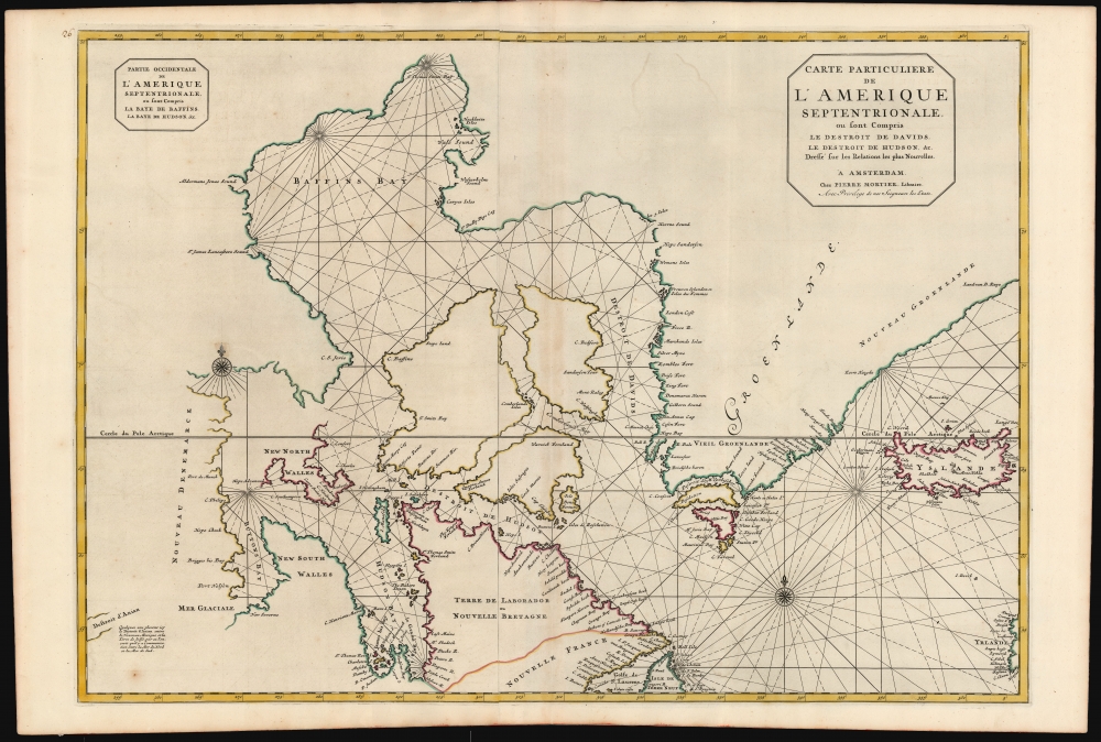
Carte Particuliere de L'Amerique Septentrionale ou sont Compris Le Destroit de Davids, le Destroit de Hudson, etc. Dresse sur les Relations les plus Nouvelles.
sold
- Digital Map Information
- Suitable for large format printing
- DPI: 600
- File Size: 97.48 MB
- File Type: ZIP / TIFF
- ICC color profile embedded
- Delivered instantly via download link
This is a superb, original-color first-state example of Pierre Mortier's 1700 chart of the North Atlantic and Arctic Canada. The map is significant for embodying European hopes for the Northwest Passage. (more details)