
A Scarce, Third State Example
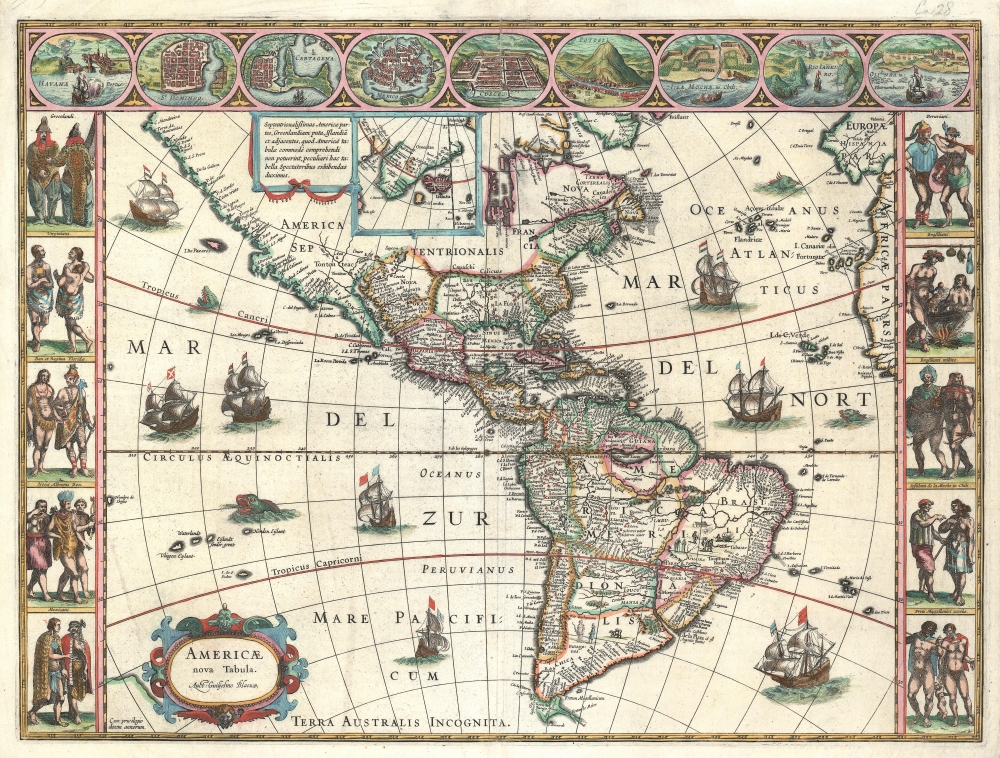
Americae Nova Tabula.
sold
- Digital Map Information
- Suitable for large format printing
- Full resolution TIFF file
- ICC color profile embedded
- Delivered instantly via download link
The essential Dutch map of America: Willem Janszoon Blaeu's 1635 carte-á-figures of the Western Hemisphere, in a scarce early printing. This is among the most desirable printed maps, encapsulating in one piece the most sought-after aesthetic qualities of the Dutch Golden Age of Cartography. (more details)
The Tokaido Road.
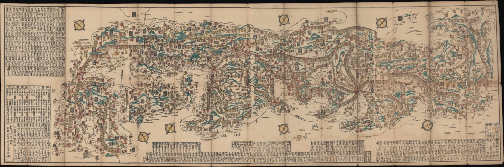
諸國一覽大日本道中細見全圖 / [Overview of the Provinces, Complete and Detailed Road Map of Japan].
sold
- Digital Map Information
- Suitable for large format printing
- Full resolution TIFF file
- ICC color profile embedded
- Delivered instantly via download link
An impressive large-format 1848 Ukiyo-e woodblock bird's-eye view displaying all of Japan and highlighting its road system. (more details)
Celebrating the Republic of China.

最新北京全圖 / Latest Full Map of Beijing. / 中華民國全圖 / Republic of China Map.
sold
- Digital Map Information
- Suitable for large format printing
- File Size: 44.06 MB
- File Type: ZIP / TIFF
- ICC color profile embedded
- Delivered instantly via download link
A rare 1929 or Minguo 18 chromolithograph propaganda map of Beijing, China, issued by the ROC Mapping Office to commemorate the 18th year of the Beiyang Government / Republic of China. (more details)
The height of Meiji era cartography.

東京方角一覽地圖 / [Tokyo Metropolitan Directions Map].
sold
- Digital Map Information
- Suitable for large format printing
- File Size: 32.22 MB
- File Type: ZIP / TIFF
- ICC color profile embedded
- Delivered instantly via download link
This is a stunning 1880 Meiji 13 Inoue Mohei (井上茂兵衛) bird's-eye view and map of Tokyo, Japan, featuring illustrations of famous sites (bridges, temples, parks, government offices). It is oriented to the west, with Mt. Fuji in the distance and the Imperial Palace (皇居) roughly at center. (more details)
Neither ocean nor port...
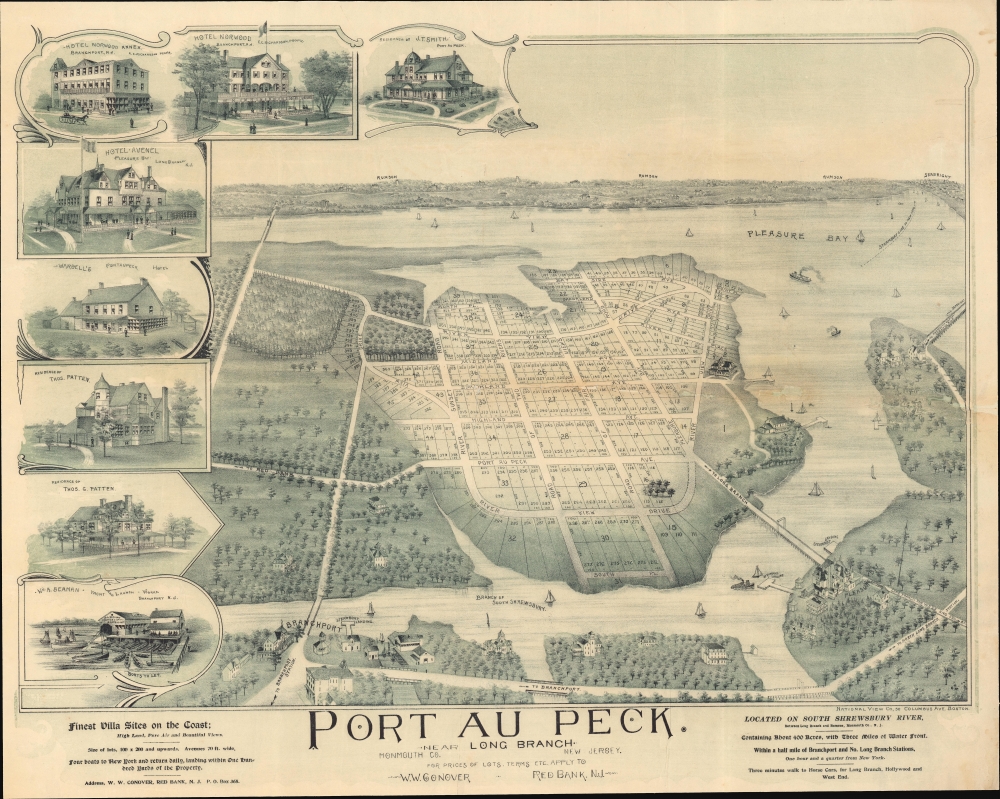
Port au Peck. Near Long Branch. Monmouth Co. New Jersey.
sold
- Digital Map Information
- Suitable for large format printing
- File Size: 97.55 MB
- File Type: ZIP / TIFF
- ICC color profile embedded
- Delivered instantly via download link
This is a rare 1894 real-estate promotional bird's-eye view of Port-au-Peck, Oceanport, New Jersey. The view captures the preliminary development of Port-au-Peck as a residential resort community in the late 19th century. (more details)
Spanish Manuscript Chart of Portuguese Held Territory.
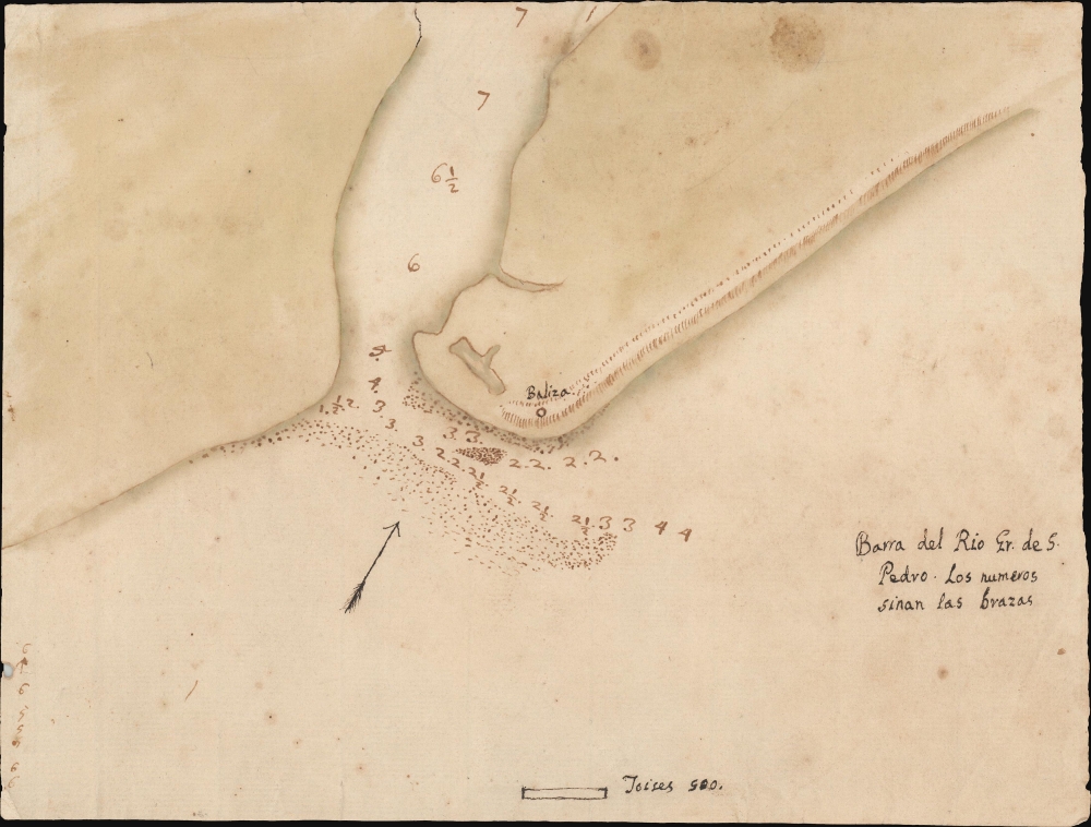
Barra del Rio Gr. de S. Pedro.
sold
- Digital Map Information
- Suitable for large format printing
- DPI: 600
- File Size: 68.34 MB
- File Type: ZIP / TIFF
- ICC color profile embedded
- Delivered instantly via download link
This is an 18th-century Spanish manuscript chart of the entrance to the Rio Grande de San Pedro, on the frontier of Brazil and Uruguay, produced during an extended period of conflict between Spain and Portugal in South America. (more details)
Brilliant, data rich depiction of mid-century New York.

The City of New York.
sold
- Digital Map Information
- Suitable for large format printing
- Full resolution TIFF file
- ICC color profile embedded
- Delivered instantly via download link
This is an inscribed example of Richard Edes Harrison's 1939 map of New York City. Published in conjunction with the New York World’s Fair, his work represents a triumph of the visual display of quantitative information. Its aesthetic impact is all the more impressive in its clear expression of municipal and demographic data, making this a map of the people of New York City, as much as of the physical city itself. All five boroughs are represented in the primary map. On it, Harrison’s masterful use of vivid color to distinguish between residential, commercial, industrial, and federal use of land is clear yet supple, able to make distinction (for example) of low-income housing projects using the same palette. Parks and cemeteries both appear as green spaces, with white spots - evoking headstones - indicating the difference between the two. The two major airports (Floyd Bennett Field and North Beach Airport) are given their own color as well. The city’s industrial areas, shown in black, dominate the East River and Hudson coastlines, a reminder of the city’s past as a factory and shipping center. (more details)
Under the Antarctic ice.
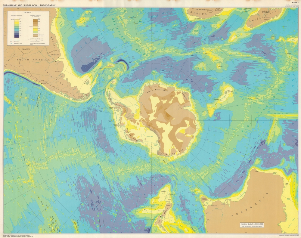
Submarine and Subglacial Topography.
$950.00
Acquire
This is a 1972 American Geographical Society map of Antarctica depicting submarine and subglacial topography. Compiled by geologist Bruce Heezen and glaciologist Charles Bentley, this revolutionary map reveals the bizarrely shaped continent hidden under miles of Antarctic ice. (more details)
Long Island's Suburban Growth.
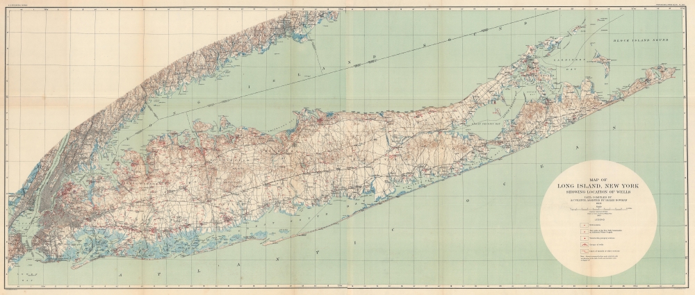
Map of Long Island, New York showing Locations of Wells.
sold
- Digital Map Information
- Suitable for large format printing
- Full resolution TIFF file
- ICC color profile embedded
- Delivered instantly via download link
This is an uncommon large format 1904 U.S. Geological Survey map of Long Island. The map captures the explosive growth of the island's characteristic suburban communities in the wake of the expansion of the Long Island Rail Road. Easy access to New York City made Long Island an attractive alternative for those seeking to escape New York's growing urban congestion. (more details)
Detailed, Elegant 19th Century Map of World.
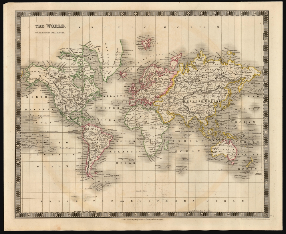
The World, On Mercators Projection.
sold
- Digital Map Information
- Suitable for large format printing
- DPI: 600
- File Size: 30.91 MB
- File Type: ZIP / TIFF
- ICC color profile embedded
- Delivered instantly via download link
This is an 1831 Henry Teesdale and John Crane Dower map of the world. It covers the explored world on a Mercator projection: the Americas, Europe, Asia, Africa, Australia and Oceania are presented clearly. The Arctic and Antarctic regions, as yet unpenetrated by explorers, are bare of detail. (more details)
France's Alpine Frontier with Italy.
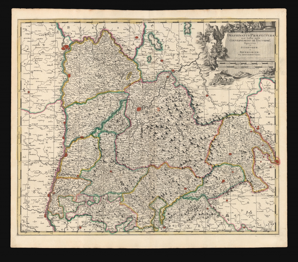
Delphinatus Praefectura quae Gallis audit Gouvernement de Dauphine.
sold
- Digital Map Information
- Suitable for large format printing
- DPI: 600
- File Size: 66.15 MB
- File Type: ZIP / TIFF
- ICC color profile embedded
- Delivered instantly via download link
This is a beautiful c. 1700 map of the Dauphiné region of France, by Dutch cartographer Gerard Valk. (more details)
Celebrating Kentucky.
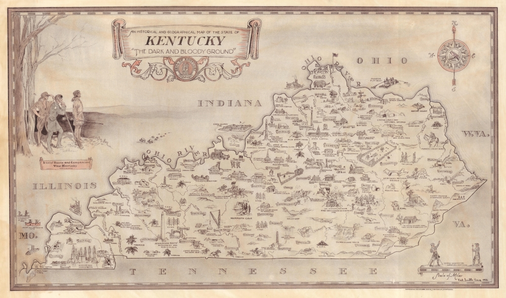
An Historical and Geographical Map of the State of Kentucky 'The Dark and Bloody Ground'.
sold
- Digital Map Information
- Suitable for large format printing
- File Size: 36.18 MB
- File Type: ZIP / TIFF
- ICC color profile embedded
- Delivered instantly via download link
This is Karl Smith's 1933 Depression Era pictorial map of Kentucky. Issued at the height the Great Depression, the map offers a much needed boost to state and national morale. (more details)
Get Your Kicks (and Chicken In A Basket) On Route 66.
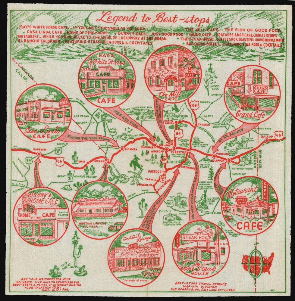
Legend to Best-Stops.
sold
- Digital Map Information
- Suitable for large format printing
- File Size: 29.4 MB
- File Type: ZIP / TIFF
- ICC color profile embedded
- Delivered instantly via download link
This is a 1952 map of northern Arizona, printed in two colors on a diner napkin. This 'Mapkin', produced by the Best Stops Travel Service of Salt Lake City, Utah, represents a pictorial icon of the pre-interstate Arizona road trip, focusing specifically on the region along the fabled Route 66 from Gallup, New Mexico to Barstow California. The region covered runs from Phoenix, Arizona in the south, up to the Grand Canyon in the north. This was an area that BestOPS had covered in 1948; the present work not only features different restaurants, but also sharpens the focus on Route 66 as the major corridor of the region. (more details)
An Unrecorded State.
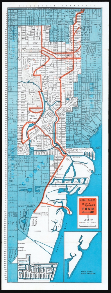
Coral Gables Self-Guided Tour Map: A ten mile scenic Self-Guided Tour for your enjoyment!
sold
This is a c.1960 map of Coral Gables, Florida printed by Guide Publishing and distributed by the Chamber of Commerce. It marks out a 'self-guided' tour through the city from Matheson Hammock Park and Marina, up Old Cutler Road, and then on a loop through town to the University of Miami, Riviera Golf Course and beyond; the northern limit of the map is West Flagler. (more details)
The first air conditioned mall in the southeastern United States.
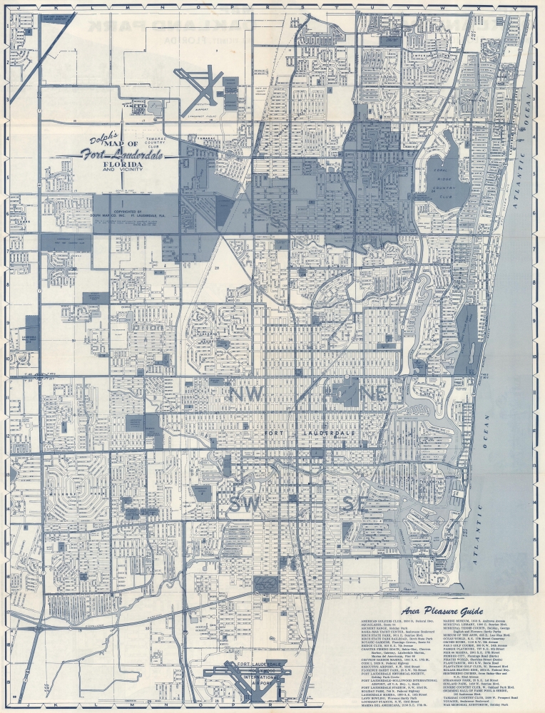
Dolph's Map of Fort Lauderdale Florida and Vicinity. / Map of Oakland Park Florida.
sold
This is a c. 1966 Dolph Map Company city plan or map of Fort Lauderdale, Florida. Numerous locations across the city are identified, including the Lauderhill Mall, which was recognized as the first air conditioned shopping center in the southeastern United States. (more details)
One-of-a-Kind Manuscript of The Banda Oriental and the Captaincy of Rio Grande de São Pedro.

[Untitled Manuscript Map of Uruguay and the Banda Oriental.]
sold
- Digital Map Information
- Suitable for large format printing
- DPI: 600
- File Size: 33.21 MB
- File Type: ZIP / TIFF
- ICC color profile embedded
- Delivered instantly via download link
This is a meticulous c. 1753 manuscript map of the Banda Oriental, the region that became Uruguay, as well as parts of neighboring Argentina and southern Brazil. The anonymous Portuguese author likely penned the map after the 1750 Treaty of Madrid, which fixed the border between Spanish and Portuguese territory along the Uruguay River. (more details)
Unique land grant in British West Florida with survey by the Civil Engineer who laid out Pensacola.

[West Florida Land Grant.]
sold
- Digital Map Information
- Suitable for large format printing
- DPI: 300
- File Size: 146 MB
- File Type: ZIP / TIFF
- ICC color profile embedded
- Delivered instantly via download link
This remarkable survivor is an original 1772 land grant in British West Florida issued to Thomas Boyd, a British officer who served with distinction in the French and Indian War (1754 - 1763). Covering territory near what is today Natchez, Mississippi, the grant is signed by Peter Chester (1720 - 1799), then governor of West Florida. It includes a survey and letter by Elias Durnford (1739 - 1794), the British military surveyor best known for laying out Pensacola, then the capital of British West Florida. (more details)
Culmination of Japanese Cartographic Knowledge under the Edo.
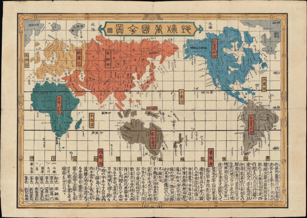
地球萬國全圖 / [Complete Map of All Countries of the Earth].
sold
- Digital Map Information
- Suitable for large format printing
- Full resolution TIFF file
- ICC color profile embedded
- Delivered instantly via download link
An enigmatic touchstone in the development of Japanese cartographic knowledge, this is a c. 1840 late Edo period ukiyo-e woodblock print world map on a Mercator Projection. The map was published in the final decades of Japan's Sakoku (鎖国, 'Locked Country') era - making it most unusual for its presentation of Western geographical knowledge. The map was thus produced anonymously, likely to avoid reprisals from Tokugawa censors. (more details)
Among the first maps to detail French West Africa.
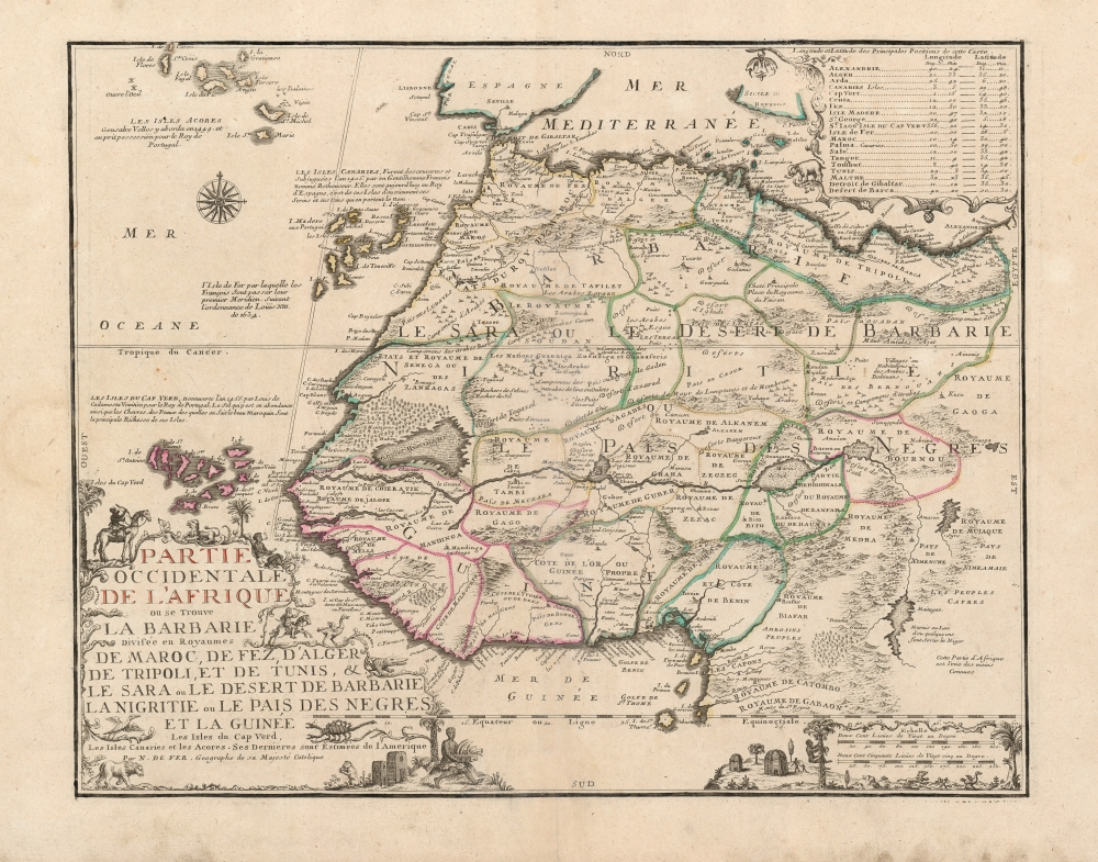
Partie Occidentale De L'Afrique ou se Trouve La Barbarie: Divisée en Royaumes de Maroc, de Fez, d'Alger de Tripoli, et de Tunis, et le Sara ou le Desert de Barbarie la Nigritie ou le Pais Des Negres et la Guinée Les Isles du Cap Verd, Les Isles Canaries et les Acores. Ses Dernieres sont Estimées de l'Amerique.
sold
- Digital Map Information
- Suitable for large format printing
- Full resolution TIFF file
- ICC color profile embedded
- Delivered instantly via download link
This beautifully engraved and rare map is Nicolas De Fer's c. 1709 map of the western part of Africa, with a specific and early focus on the region of Senegal. Senegal was the focus France's main effort at colonization in Africa. Despite those efforts having begun in the mid-seventeenth century, they were astonishingly not captured in cartographic form before 1707. No continental map of Africa prior to that point is so revealing of France's interests in Africa: her efforts to enter the international slave trade, and as well to identify and corner the world's supply of gum arabic. (more details)
The Northeast Coast of America during the French and Indian War.
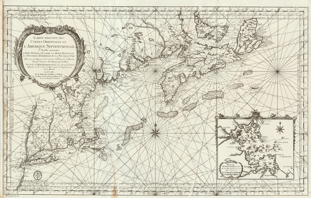
Carte reduite des costes orientales de l'Amerique septentrionale : 1re. feuille contenant L'Isle Royale, L'Accadie, La Baye Françoise, La Nouvelle Angleterre et La Nouvelle Yorc.
sold
- Digital Map Information
- Suitable for large format printing
- Full resolution TIFF file
- ICC color profile embedded
- Delivered instantly via download link
This is a large, scarce, beautifully engraved 1757 French and Indian War Era Jacques Nicolas Bellin nautical map of New York, New England, and the Canadian Maritimes, including Nova Scotia and Isle Royale. This chart, along with many others, was issued on the order of the French Crown for anticipated naval action during the French and Indian War (1754 - 1763). The chart is superbly engraved, with dramatic pictorial mountains, elaborate river systems, and particular attention to approaches from Newfoundland to Boston Harbor, with depth soundings in profusion. The map extends from Isle Royale to the west shore of the Hudson (including the Mohawk River, Saratoga Lake, noting the portages to points north of the Hudson's shallows.) (more details)