
NEW ACQUISITIONS
Scarce and beautiful map of New York City.
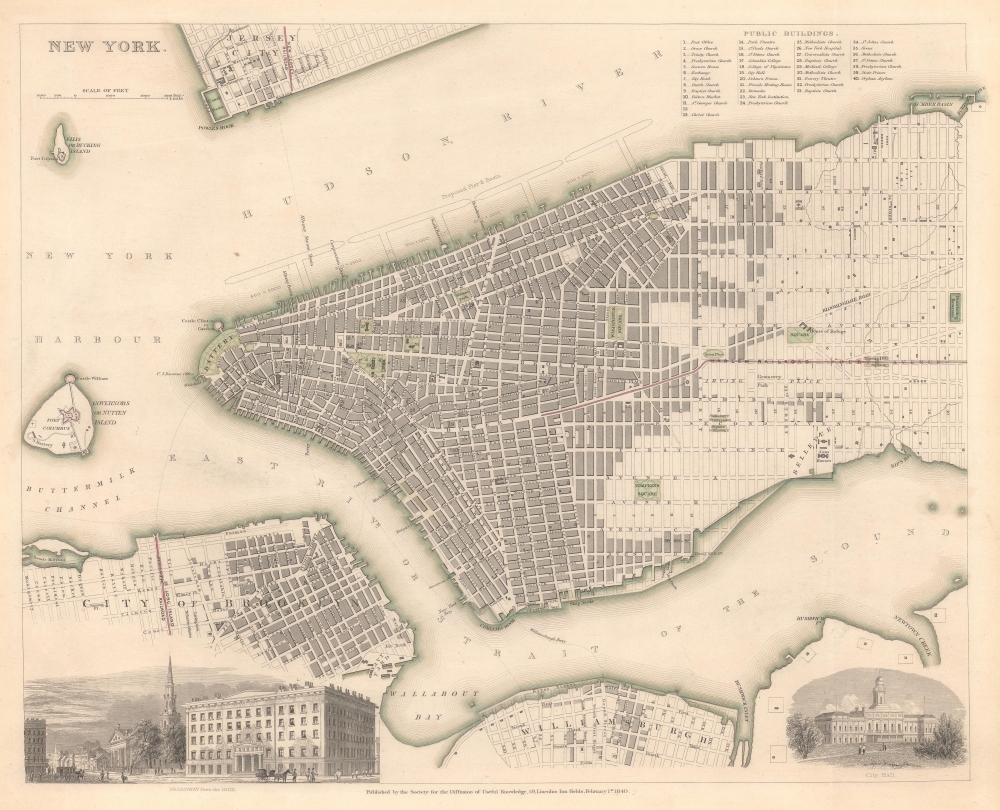
New York.
$500.00
Acquire
- Digital Map Information
- Suitable for large format printing
- File Size: 11.21 MB
- File Type: ZIP / TIFF
- ICC color profile embedded
- Delivered instantly via download link
This is an 1840 Society for the Diffusion of Useful Knowledge (S.D.U.K.) city plan or map of New York City. (more details)
Unrecorded Historical Map of Providence.
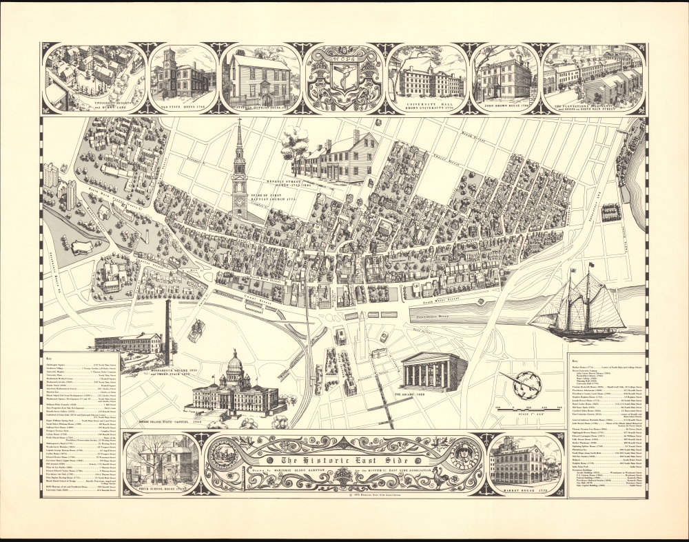
The Historic East Side.
$400.00
Acquire
This is Marjorie Olson Barstow's 1975 historical pictorial map of Providence, Rhode Island, produced for the Historic East Side Association. (more details)
Oldest Town in New England.

A View of Plymouth, from the beach east of the Harbor - the oldest town in New England and landing place of the Pilgrim Fathers. Dec. 22d. 1620.
$4,500.00
Acquire
- Digital Map Information
- Suitable for large format printing
- File Size: 18.05 MB
- File Type: ZIP / TIFF
- ICC color profile embedded
- Delivered instantly via download link
This is a rare lithograph view of Plymouth, Massachusetts, drawn by Timothy Barry and printed in Boston by J. H. Bufford between 1851 and 1855. Although outstripped in growth by nearby Boston, Plymouth is one of the oldest cities in the United States and was the first permanent settlement of Europeans in New England. (more details)
Earliest acquirable map of Europe based on contemporaneous knowledge.

Description Nouvelle D'Europe.
$2,750.00
Acquire
- Digital Map Information
- Suitable for large format printing
- Full resolution TIFF file
- ICC color profile embedded
- Delivered instantly via download link
This is a 1556 edition of Sebastian Münster's 1540, southern-oriented map of Europe: the first acquirable map of Europe based on contemporary geographical information and the earliest acquirable derivative of Martin Waldseemüller's unobtainable 1511 map of Europe. Münster's Geographia and Cosmographia provided for many years the literate European's only glimpses of the world, and these two works contained a number of maps with previously unseen, contemporaneous knowledge of the areas they depicted. For Münster's readership, this map was almost certainly the first depiction of their home continent, not based on the 2nd-century work of Claudius Ptolemy. (more details)
Desirable Edition of the Earliest Printed Map of the African Continent.

Africa XXV Nova Tabula.
$2,750.00
Acquire
- Digital Map Information
- Suitable for large format printing
- Full resolution TIFF file
- ICC color profile embedded
- Delivered instantly via download link
This is Sebastian Münster's 1540 map of Africa, the earliest detailed map of the continent available to the collector, here in the distinctive 1552 state appearing in the last edition of Münster's Ptolemy. This attractive and evocative map was broadly influential. For more than 30 years during the age of discovery, this map would be the predominant representation of Africa available to the European reader. Moreover, it is one of the last issues of this map printed during the author's lifetime. (more details)
Updating the Evans Map: First Map with Louisville
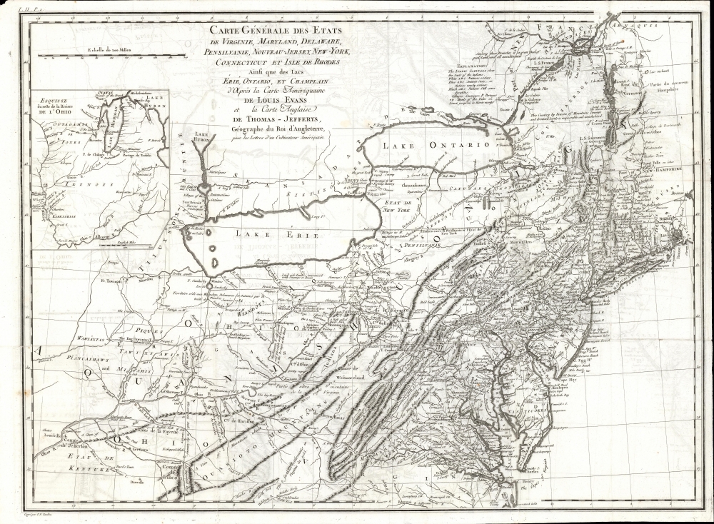
Carte Generale des Etats de Virginie, Maryland, Delaware, Pensilvanie, Nouveau-Jersey, New-York, Connecticut et Isle de Rhodes Ainsi que des Lacs Erie, Ontario, et Champlain. D'Apres la Carte Ameriquaine de Louis Evans et la Carte Anglaise de Thomas-Jefferys, pour les Lettres d'un Cultivateur Amériquain.
$1,950.00
Acquire
- Digital Map Information
- Suitable for large format printing
- DPI: 600
- File Size: 68.46 MB
- File Type: ZIP / TIFF
- ICC color profile embedded
- Delivered instantly via download link
An elegant 1787 French edition of Louis Evans' seminal and influential map of the Middle British Colonies, one of the most important maps of the British colonies and the best colonial mapping of the Ohio River Valley. It was issued for Michel Guillaume St. Jean de Crevecoeur's 1787 Lettres d'un Cultivateur Ameriquain, one of the most influential works on colonial America. (more details)
Revere the Emperor, Learn Geography.
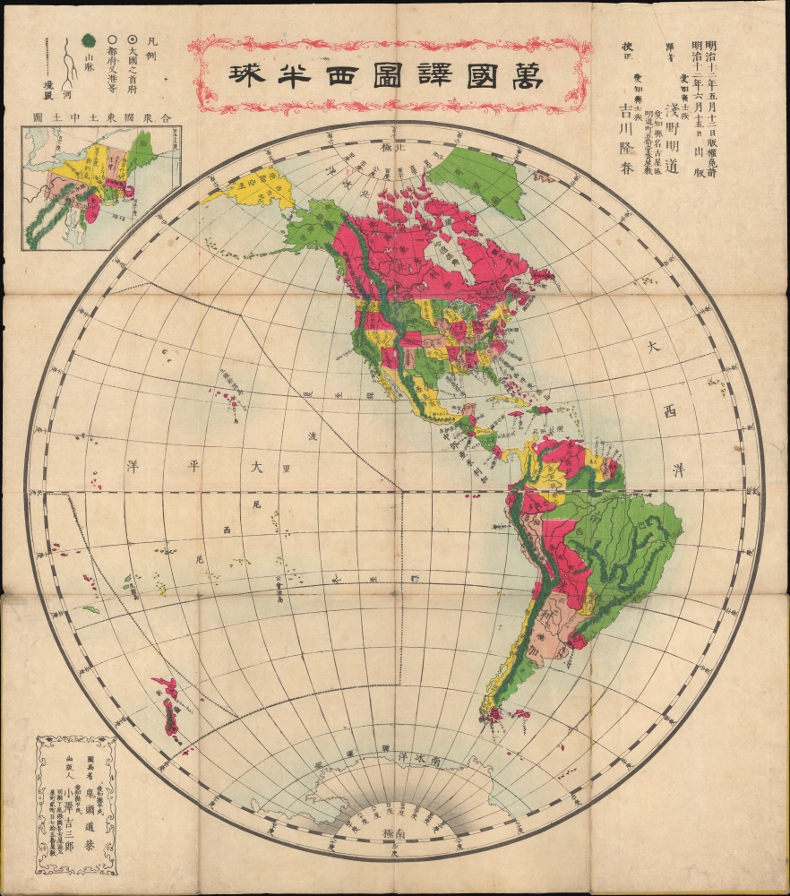
萬國譯圖西半球 / [Translated Map of the World, Western Hemisphere].
$1,500.00
Acquire
- Digital Map Information
- Suitable for large format printing
- File Size: 49.06 MB
- File Type: ZIP / TIFF
- ICC color profile embedded
- Delivered instantly via download link
This is a rare 1879 or Meiji 12 Japanese map of the Western Hemisphere. It reflects the growing familiarity of Japanese cartographers with the geography of distant lands and the influence of foreign cartography in Japan in the early Meiji period. (more details)
Gilded Age's Great Western Metropolis.

Faust's Map of City and County of San Francisco California.
$1,200.00
Acquire
- Digital Map Information
- Suitable for large format printing
- File Size: 52.3 MB
- File Type: ZIP / TIFF
- ICC color profile embedded
- Delivered instantly via download link
This is Henry W. Faust's 1892 map of San Francisco, California, demonstrating the growth and planned future expansion of America's western metropolis. (more details)
Published only a few years before the beginning of World War II.

Plan de Fès.
$950.00
Acquire
- Digital Map Information
- Suitable for large format printing
- File Size: 31.33 MB
- File Type: ZIP / TIFF
- ICC color profile embedded
- Delivered instantly via download link
This is a rare 1938 Service géographique du Maroc city plan or map of Fes, Morocco. Published just prior to World War II, the map underscores the transformative impact of 25 years of French colonial influence on the Moroccoan urbanscape. It dramatically illustrates the contrast between the planned French ville nouvelle and the millenia-old ville indigene. (more details)
First Atlas Map specifically of Cyprus.

Cypri Insulae Nova Descript. 1573.
$900.00
Acquire
- Digital Map Information
- Suitable for large format printing
- Full resolution TIFF file
- ICC color profile embedded
- Delivered instantly via download link
This is a beautiful, original color example of Ortelius' 1573 map of Cyprus, combined with an inset map of Lemnos. Moreover, this is a Vrients edition of the map: maps from these editions typically exhibit finer quality color than those printed during Ortelius' lifetime and are consequently very desirable. (more details)
Mining the Gem State.

Idaho. / Cram's Indexed Township County Map and Shipper's Guide of Idaho.
$850.00
Acquire
- Digital Map Information
- Suitable for large format printing
- File Size: 19.07 MB
- File Type: ZIP / TIFF
- ICC color profile embedded
- Delivered instantly via download link
This is rare first edition of George Cram's separate-issue 1902 pocket map of Idaho, that appeared in that year's Indexed Township County Map and Shipper's Guide for the state. (more details)
Nantucket, as memorialized by a devoted, adoptive local artist.

Nantucket.
$850.00
Acquire
This is a beautiful example of the 1980 edition of Ruth Haviland Sutton’s pictorial map of Nantucket, Massachusetts. This vivacious depiction of the island emphasizes its nautical history and character. Its execution reflects the love of place that led Sutton to relocate there for most of her adult life. The waters around the island are decorated with boats and ships - some native, some European, some afloat, but many shipwrecked (these last have the dates). (more details)
First Edition of Early American Pocket Map.

Map of Massachusetts, Connecticut, and Rhode Island constructed from the Latest Authorities.
$600.00
Acquire
- Digital Map Information
- Suitable for large format printing
- File Size: 21.64 MB
- File Type: ZIP / TIFF
- ICC color profile embedded
- Delivered instantly via download link
This is an attractive 1825 folding map of southern New England - Massachusetts, Connecticut, and Rhode Island - produced by Anthony Finley, James H. Young, and David H. Vance. (more details)
Mapping America's nuclear arsenal.

Nuclear America.
$500.00
Acquire
This is a June 1979 War Resisters League map of the United States highlighting nuclear facilities nationwide. Published only 3 months after the partial meltdown at the Three Mile Island Nuclear Generating Station in Pennsylvania, the map highlights weapons sites and power plants, along with mines, research facilities, and other affiliated sites. It also illustrates just how much of the country faces annihilation in the event of nuclear war. (more details)
Chase's popular World War II World Map.

Total War Battle Map. / Invasion and Total War Victory Maps with Decorations, Illustrations and Military and Naval Insignia.
$450.00
Acquire
- Digital Map Information
- Suitable for large format printing
- Full resolution TIFF file
- ICC color profile embedded
- Delivered instantly via download link
This is a 1943 Ernest Dudley Chase pictorial map of the world during World War II (1939 - 1945). It is one of a series of maps Chase produced to illustrate the war as it developed. (more details)
Stunning Art Deco Map of Paris.

Nouveau Paris Monumental. Itinéraire Pratique de l'Étranger dan Paris.
$400.00
Acquire
- Digital Map Information
- Suitable for large format printing
- Full resolution TIFF file
- ICC color profile embedded
- Delivered instantly via download link
This is a c. 1928 A. Leconte pictorial monumental map of Paris, France. The map highlights monuments and other attractions throughout the City of Light, as well as the city's growing Metro network. (more details)
Drilling in Disputed Waters.

Offshore China South China Sea.
$400.00
Acquire
This is a 1984 map of offshore oil and gas fields in the South China Sea, prepared for the publication Asian Oil and Gas. (more details)
Scarce and Elegantly-Engraved Map of the Far East.
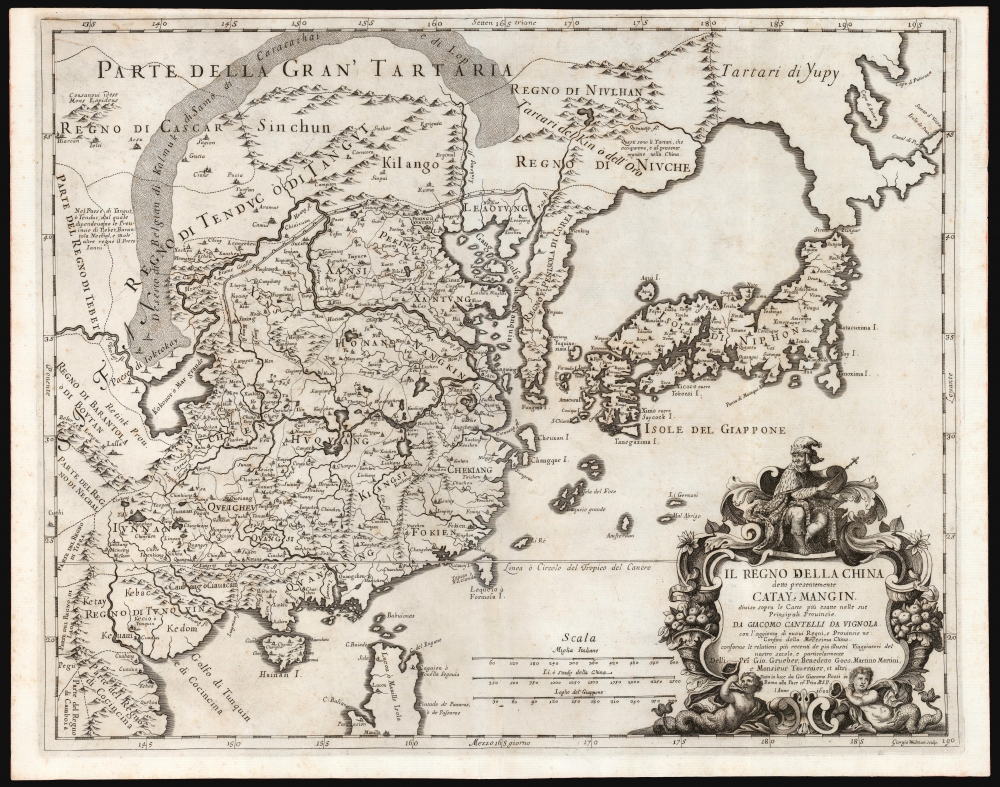
Il Regno Della China detto presentemente Catay e Mangin diviso sopra le Carte piú esatte sue Principali Provincie.
$2,200.00
Acquire
- Digital Map Information
- Suitable for large format printing
- DPI: 600
- File Size: 48.62 MB
- File Type: ZIP / TIFF
- ICC color profile embedded
- Delivered instantly via download link
This is a scarce 1682 Cantelli da Vignola map of China, Japan, and Korea, presenting a striking and up-to-date view of the Far East benefitting from Jesuit and Dutch reports. Its framework is derived from the 1552 Martino Martini map by Blaeu, but this map is significantly updated after the reports of the Jesuits Bento de Góis and Johann Grueber. (more details)
Best French mapping of North America.
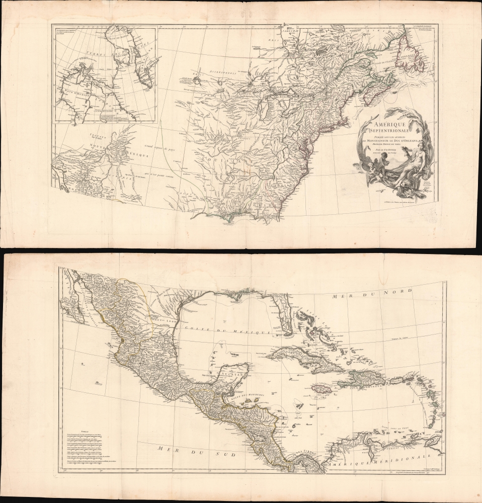
Amérique Septentrionale.
$1,800.00
Acquire
- Digital Map Information
- Suitable for large format printing
- Full resolution TIFF file
- ICC color profile embedded
- Delivered instantly via download link
This is the 1746 wall map of North America composed by Jean-Baptiste Bourguignon d'Anville, considered the finest French map of North America predating the French and Indian War (1754 - 1763). Nearly a century of French mapmaking and exploration in North America preceded this work, granting the map precedence, longevity, and a lasting influence. It was copied by Thomas Jefferys as the basis for his own 1755 map of North America. More than half a century later, it was among the maps consulted by Nicholas King for his seminal manuscript map of western North America compiled for the Lewis and Clark expedition. (more details)
International Effort to Understand Comets.
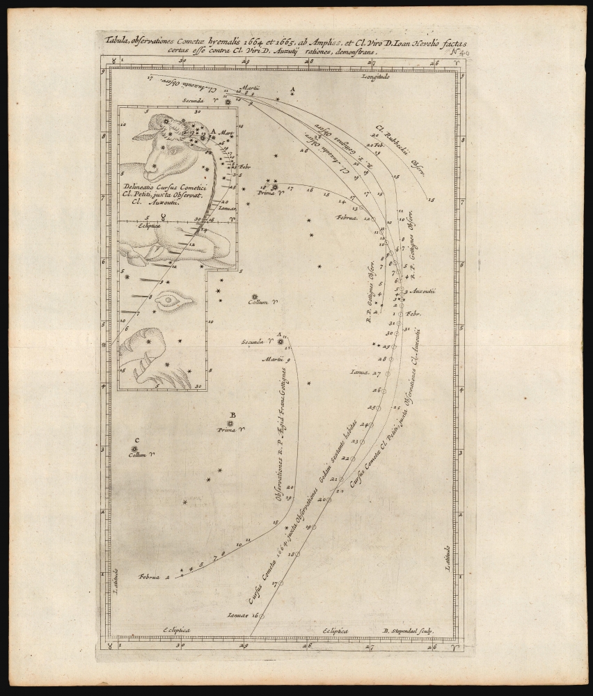
Tabula, observationes Cometae hyemalis 1664 et 1665, ab Ampliss. et Cl. Viro D. Ioan Hevelio factas certas esse contra C. Viri D. Auzutii rationes, demonstrans.
$1,800.00
Acquire
- Digital Map Information
- Suitable for large format printing
- DPI: 600
- File Size: 19.77 MB
- File Type: ZIP / TIFF
- ICC color profile embedded
- Delivered instantly via download link
This elegant and important 1668 celestial chart depicts the motions of comets observed in 1664 and 1665. The sheet was included in the first volume of Stanislaw Lubieniecki's Theatrum Cometicum, which expounded on the history of observed comets beginning from those mentioned in the Bible and including the detailed accounts of the comets observed by himself, and the European scientific community, in 1664 and 1665. This chart - A table of observations of the winter comets of 1664 and 1665, by the most eminent and distinguished man, D. Joan Hevelius, showing that they were certain against the accounts of the most distinguished man, Auzutij. - captures what was then an international scientific controversy between the Polish astronomer Johann Hevelius (1611 - 1687) and the French astronomer Adrien Auzout (1622 - 1691). (more details)