
NEW ACQUISITIONS
Earliest Printed, Accurate Chart of the Source of London's Coffee.
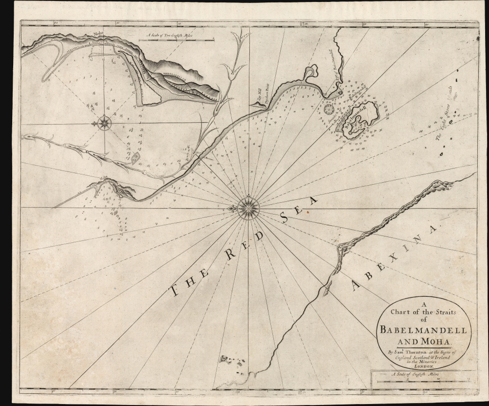
A Chart of the Straits of Babelmandell and Moha.
$2,000.00
Acquire
- Digital Map Information
- Suitable for large format printing
- Full resolution TIFF file
- ICC color profile embedded
- Delivered instantly via download link
This is John and Samuel Thornton's scarce c. 1703/1707 chart of Bab el Mandab, the Strait of Mandeb, or 'the Gate of Lamentation.' For centuries, this has represented a chokepoint between the Arabian Peninsula and the Horn of Africa and also forms a strategic bottleneck between the Red Sea and the Gulf of Aden. The present chart is the first of the Strait to benefit from a firsthand survey at a time when this region supplied most of Europe's coffee. (more details)
One of the Earliest Modern Maps of Africa.

Tabu. Nova Partis Aphri.
$2,000.00
Acquire
- Digital Map Information
- Suitable for large format printing
- Full resolution TIFF file
- ICC color profile embedded
- Delivered instantly via download link
This is Laurent Fries' 1535 edition of the earliest acquirable modern mapping of South Africa, among the first to reveal the discoveries of the Portuguese explorers Dias and De Gama. This map represents an effort to reconcile two contrasting depictions of southern Africa by Martin Waldseemüller: the 1513 Tabula Moderna Secunde Porcionis Aphrice, and the 1516 Carta Marina. In the past, it has been erroneously described as a more decorative version of the former, but closer study reveals it as cartographically distinct and independently significant. (more details)
Largest Soviet-era city plan ever issued?
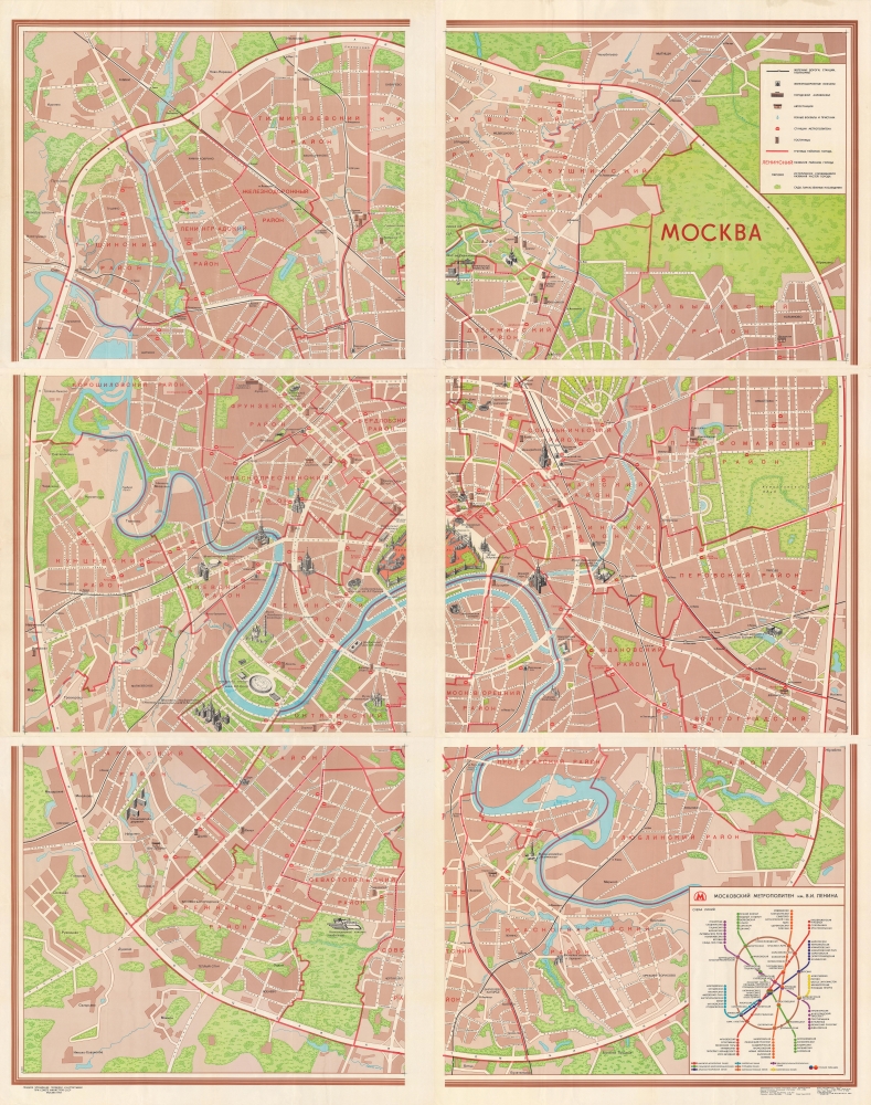
Москва / [Moscow].
$1,000.00
Acquire
This is an immense 6-sheet city plan of Moscow (more than 7 feet tall), prepared in 1982 by the Soviet Main Administration of Geodesy and Cartography. Possibly the largest Soviet Era city plan ever issued, it displays the city on a remarkably detailed scale, highlighting roads, metro and rail lines, and major landmarks. (more details)
A moment of change.
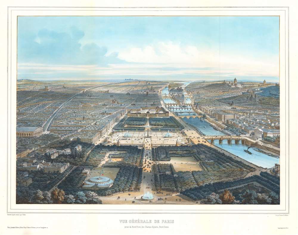
Vue Générale de Paris prise du Rond-Point des Champs-Elysées, Nord-Ouest.
$950.00
Acquire
- Digital Map Information
- Suitable for large format printing
- Full resolution TIFF file
- ICC color profile embedded
- Delivered instantly via download link
This is an exceptional c. 1896 Michel Charles Fichot chromolithograph bird's-eye view map of Paris, France. The view looks southeast down the Champs-Élysées towards the Place de la Concorde, the Jardin des Tuileries, and the Louvre. The Seine, with its iconic bridges, curves through the heart of the city. Pedestrians, carriages, and a battalion of soldiers ply the streets, emphasizing the bustling French capital. (more details)
Follow the U.S.S. Lexington through three years of the Pacific War.
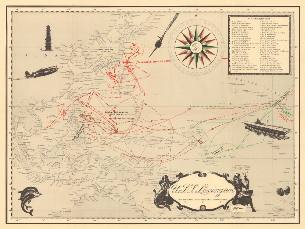
U.S.S. Lexington.
$400.00
Acquire
- Digital Map Information
- Suitable for large format printing
- Full resolution TIFF file
- ICC color profile embedded
- Delivered instantly via download link
This 1945 World War II route map of the U.S.S. Lexington focuses on the theater rarely addressed in the route map genre: the Pacific War. Most World War II route maps focus on the European Theater, but this piece follows the aircraft carrier U.S.S. Lexington in the Pacific theater from 1943-1945. It highlights battles and traces the Lexington's movements in detail, offering a day-by-day account of the aircraft carrier's campaigns. (more details)
Cartoons promote Postwar Florida.
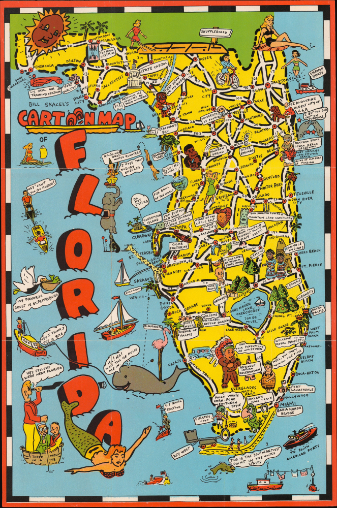
Bill Skacel's Cartoon Map of Florida.
$400.00
Acquire
- Digital Map Information
- Suitable for large format printing
- Full resolution TIFF file
- ICC color profile embedded
- Delivered instantly via download link
This is Bill Skacel's playful 1946 pictorial map of Florida. It captures Florida early in the Postwar Period, when the state experienced a dramatic population increase and extensive infrastructure development. (more details)
British air-drop propaganda celebrating the Soviet victory at Stalingrad.

Supplement Cartographique du Courrier de L'Air. Voici comment les Russes renversèrent la stratégie de Hitler dans la bataille décisive de Stalingrad.
$375.00
Acquire
- Digital Map Information
- Suitable for large format printing
- Full resolution TIFF file
- ICC color profile embedded
- Delivered instantly via download link
World War II propaganda is a remarkable survivor. This is a 1943 leaflet celebrating the Soviet victory at Stalingrad, published by the British Political Warfare Executive for air distribution by the Royal Air Force over occupied France. It is part of the popular series entitled Le Courrier de l'Air, and is the only known cartographic supplement to that propaganda publication. This map, and others like it, were air-dropped to French civilians under Nazi occupation, who were hungry for news not controlled by Nazi Germany or the collaborationist Vichy. This sheet, and others like it, fulfilled that desire. (more details)
Tourism for Reconstruction druing the Cold War.
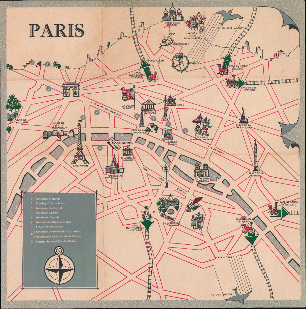
Paris / France / Destination France.
$300.00
Acquire
- Digital Map Information
- Suitable for large format printing
- Full resolution TIFF file
- ICC color profile embedded
- Delivered instantly via download link
This is a c. 1950 English-language pictorial map of Paris and France, prepared by the advertising firm James Jones and Co. for the Economic Cooperation Administration. Though ostensibly a simple, whimsical map for tourists, it is more a propaganda product of the early Cold War (1947 - 1991), being the result of a coordinated effort to boost American tourism to France under the Marshall Plan. (more details)
Operational archive documenting the final preparations for the invasion of Okinawa, the last great amphibious campaign of World War II.

Okinawa Shima and Adjacent Islands. Screen Plan Okinawa--1. / U.S.S. Monrovia (APA-31) Amphibious Assault on Okinawa.
$18,000.00
Acquire
An extraordinary discovery and an even more improbable survival, this archive from the U.S.S. Monrovia preserves the operational record of the April 1, 1945, Invasion of Okinawa, the final great amphibious campaign of World War II (1939 - 1945). Comprising aerial reconnaissance photographs, operational maps, and briefing papers prepared as late as March 31, 1945, the collection captures the tense final hours before the assault. Few surviving archives so vividly illustrate the intelligence, planning, and meticulous coordination behind one of the most consequential military landings of the twentieth century. (more details)
Sardinia becomes Italian.
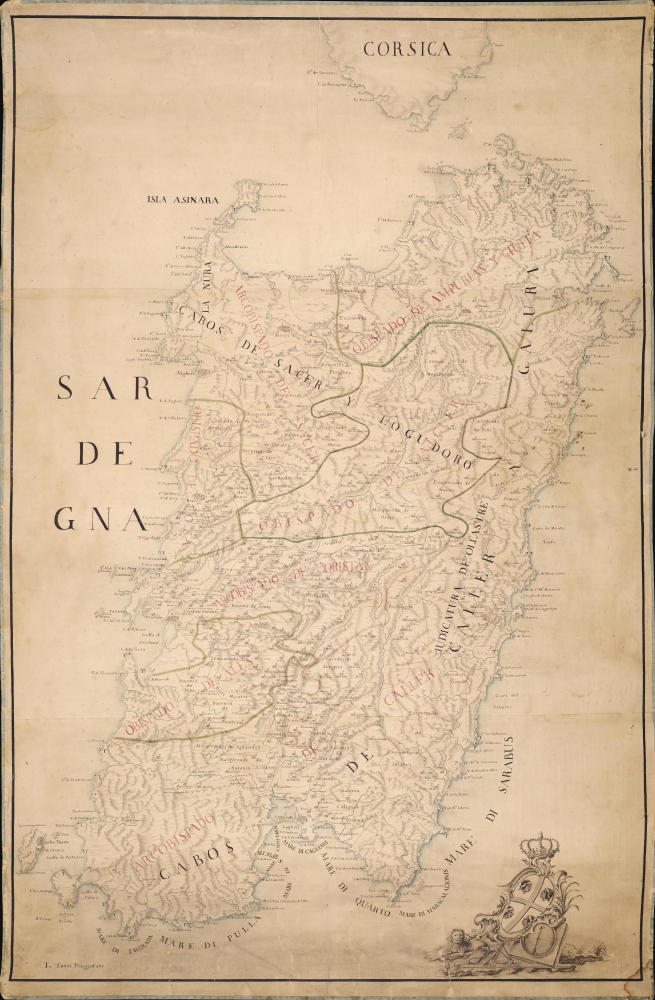
[Sardegna.]
$18,000.00
Acquire
- Digital Map Information
- Suitable for large format printing
- Full resolution TIFF file
- ICC color profile embedded
- Delivered instantly via download link
An exceptional and finely executed c. 1720 manuscript map of Sardinia (Sardegna), Italy. The map captures Sardinia as it transitioned from Spanish Habsburg to Savoyard rule following the War of the Quadruple Alliance (1718 - 1720). It was produced under the new Savoy rulers as an administrative and defensive tool to modernize the 16th-century Spanish tower system, cataloging existing towers and planning new ones. This transition marks the point when Sardinia became 'Italian'. (more details)
Main Trade Route of the Caribbean.
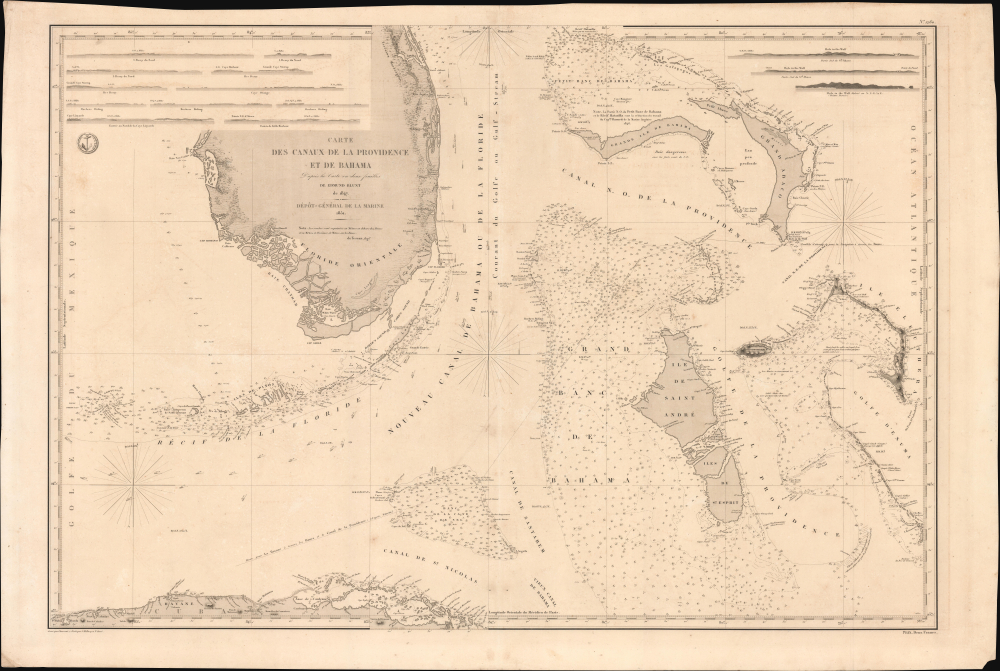
Carte des Canaux de la Providence et de Bahama. D'après la Carte en deux feuilles de E. Blunt de 1847.
$4,000.00
Acquire
- Digital Map Information
- Suitable for large format printing
- Full resolution TIFF file
- ICC color profile embedded
- Delivered instantly via download link
This is a large-format 1851 nautical chart or map of southern Florida and the Bahamas, focusing on the Bahama Banks, produced by the French Dépôt de la Marine. Based on a 1847 chart by American hydrographer Edmund Blunt, the chart represents the most detailed hydrographic information on these notoriously tricky waters available at the time. The map marks a point of rising French trade and activity in the Gulf under the Second Empire. (more details)
Aramco's Transition to Nationalization and Offshore Fields
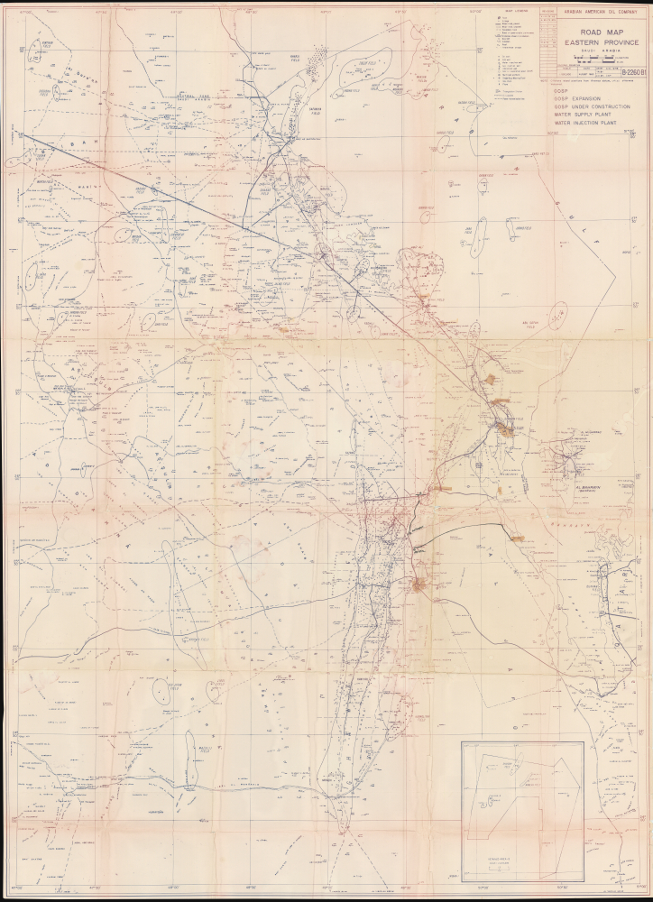
Road Map Eastern Province Saudi Arabia.
$4,000.00
Acquire
This is a rare, large-format 1963 map of eastern Arabia, updated to 1981, produced by the Arabian American Oil Company (Aramco). In addition to including Saudi Arabia's largest and most important onshore oil fields, it also marks several offshore oil fields at a time when offshore oil exploration and exploitation was increasing. (more details)
'the origin of the log cabin as a symbol of the American experience.' - Gilbron
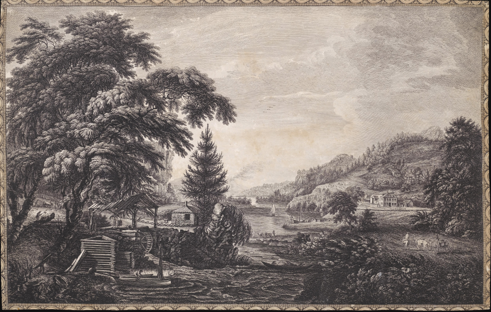
A Design to Represent the Beginning and Completion of an American Settlement or Farm.
$3,250.00
Acquire
- Digital Map Information
- Suitable for large format printing
- Full resolution TIFF file
- ICC color profile embedded
- Delivered instantly via download link
This is Thomas Pownall and Paul Sandby's illustration of the evolution of an American farmstead, from log cabin to gentlemanly estate. It is arguably the most famous and impactful image from the 1761 Six Remarkable Views in the Provinces of New York, New Jersey and Pennsylvania, published in London. This view is not only one of the earliest illustrations of American settler life, but it has also been credited by Gilbron as 'the origin of the log cabin as a symbol of the American experience.' (more details)
Buddhist Pilgrim's Progress.
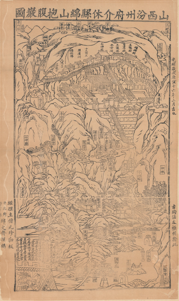
山西汾州府介休縣綿山抱腹巗圖 / [View of Baofu Cliff, Mianshan, Fenzhou Prefecture, Jiexiu County, Shanxi].
$3,200.00
Acquire
- Digital Map Information
- Suitable for large format printing
- Full resolution TIFF file
- ICC color profile embedded
- Delivered instantly via download link
A rare and likely unique survival, this is a 1890 Buddhist pilgrim map, drawn and printed by monks, depicting the Yunfeng Temple (雲峰寺) and associated Buddhist and Daoist sites on Mianshan (绵山), Shanxi, China. These ephemeral works provide uncommon insight into the religious life of the late Qing era, much of which has been lost due to China's destructive 20th-century wars and revolutions. (more details)
Ottoman Preparations for the 'Last Stand' in the Levant.
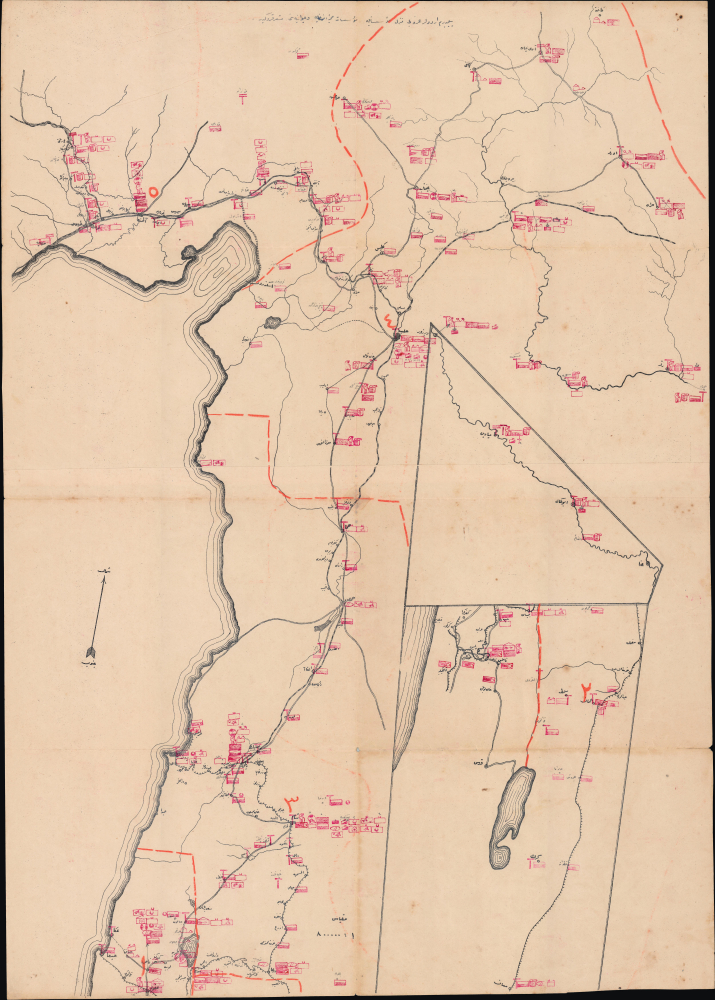
يلديرم اردولر غروپى نزد مؤسسه مؤسسات صحيه و حيوانيهسى مشروحدور / [The medical and veterinary institutions and establishments attached to the Yıldırım Army Group are detailed here].
$3,000.00
Acquire
- Digital Map Information
- Suitable for large format printing
- Full resolution TIFF file
- ICC color profile embedded
- Delivered instantly via download link
This is a rare and likely unique c. 1918 large-format Ottoman military resource map of the Levant prepared by the Yıldırım Orduları Grubu (Lightning Armies Group), the elite field command established to halt the advancing British Empire and its Arab allies during the final stages of World War I (1914-1918). Combining printed cartography with handstamps and manuscript annotations, the map inventories the region's strategic infrastructure, emphasizing hospitals, medical depots, supply centers, transportation networks, and other critical military resources essential to sustaining Ottoman operations. Intended for high-level logistical planning rather than tactical battlefield use, such a comprehensive assessment of military assets would have been among the Ottoman Empire's most closely guarded wartime documents, offering an extraordinary glimpse into the administrative and logistical foundations of the Palestine Campaign. (more details)
Bringing aerial destruction to Nazi-dominated Europe.
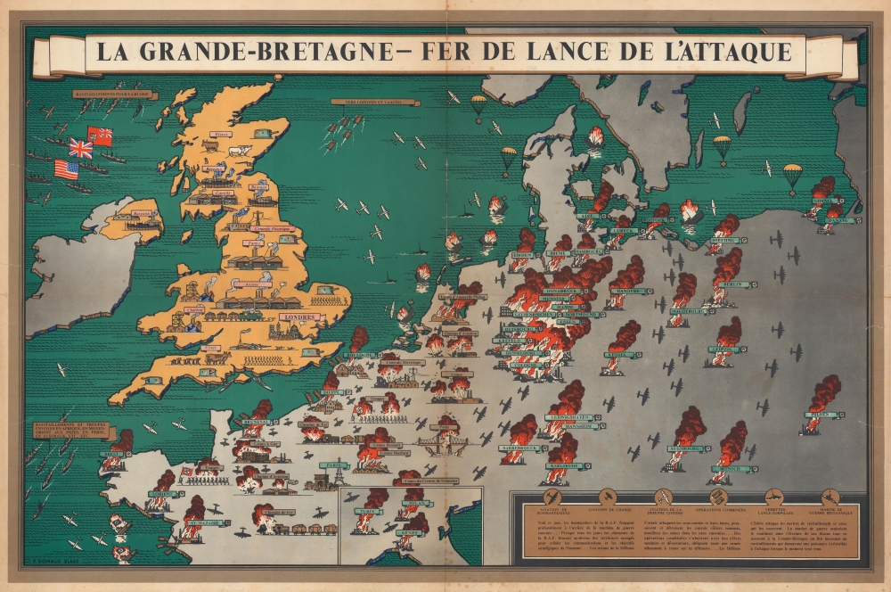
La Grande-Bretagne - Fer de Lance de l'Attaque.
$2,500.00
Acquire
- Digital Map Information
- Suitable for large format printing
- Full resolution TIFF file
- ICC color profile embedded
- Delivered instantly via download link
This is a 1943 F. Donald Blake French-language pictorial propaganda map of Great Britain and continental Europe at the height of World War II (1939 - 1945). The map's message is clear: the tide of war has turned, and British RAF forces are taking a heavy toll on Nazi-dominated Europe. (more details)
One of the first maps to show the Pacific Northwest.
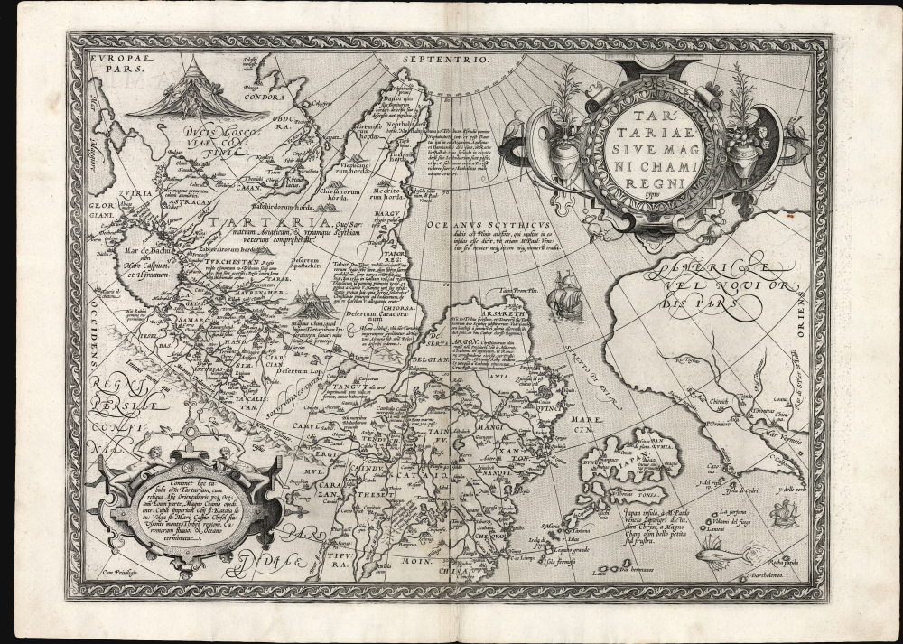
Tartariae Sive Magni Chami Regni typus.
$2,000.00
Acquire
- Digital Map Information
- Suitable for large format printing
- Full resolution TIFF file
- ICC color profile embedded
- Delivered instantly via download link
This is Abraham Ortelius' seminal 1570 map of Tartary, one of the first maps to focus on the North Pacific coasts of America and Asia, in a sharp, early edition of 1573. While the map is intended to the Asian empire of the Great Khan, it is also notable for what it presents of America. The map includes what is now the west coast of the United States, northwestern Canada, and Alaska, a part of the world almost entirely unknown at that time. It is the earliest obtainable map to name California. It also one of the most definitive early maps to distinctly separate the continents of Asia and America (via the Strait of Anian) well before the explorers of the 18th century proved that separation to be fact. (more details)
Religious Refuge on the American Frontier.
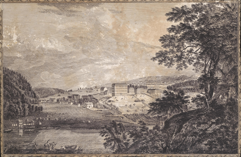
[A View of Bethlem, the great Moravian settlement in the province of Pennsylvania / Vue de Bethlem, principal etablissement des Freres Moraves dans la province de Pennsylvania].
$2,000.00
Acquire
- Digital Map Information
- Suitable for large format printing
- Full resolution TIFF file
- ICC color profile embedded
- Delivered instantly via download link
This is Thomas Pownall and Paul Sandby's depiction of the town of Bethlehem, Pennsylvania, that appeared in the 1761 Six Remarkable Views in the Provinces of New York, New Jersey and Pennsylvania (and later the Scenographia Americana), published in London. At the time, the town was among the most unusual and innovative in Britain's American colonies, being home to a strict and industrious Moravian community. (more details)
Colonial Modernity - the nexus of exploitation and cultural assimilation.
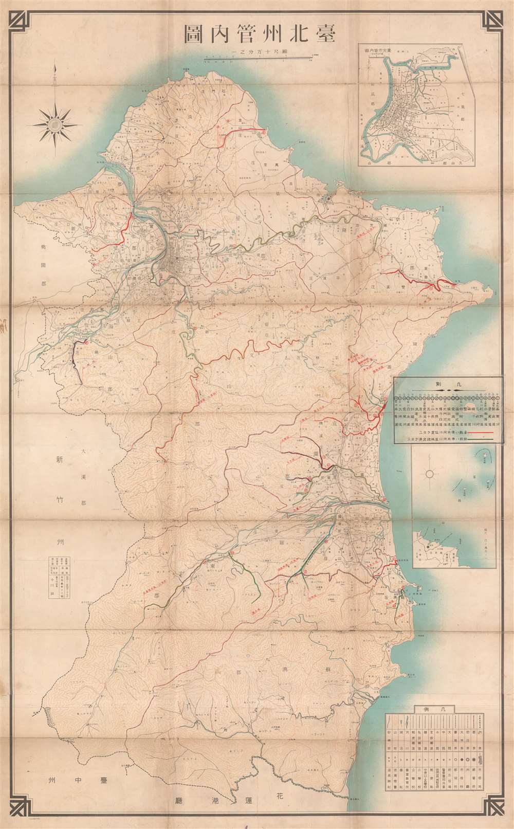
臺北州管内圖 / 1936 Showa 11 Taipei [Taihoku] Prefecture Administrative Map.
$1,800.00
Acquire
- Digital Map Information
- Suitable for large format printing
- Full resolution TIFF file
- ICC color profile embedded
- Delivered instantly via download link
An important and enlightening administrative map of Taipei (Taihoku) Prefecture during the Japanese colonial period, with unique and enlightening manuscript content. The map reflects the ambition of Colonial Modernity, when Taiwan was being developed as a 'model colony'. It illustrates the overlap between resource extraction, environmental management (specifically water), policing, and cultural assimilation. (more details)
First Accurate Chart and Map of Puerto Rico.
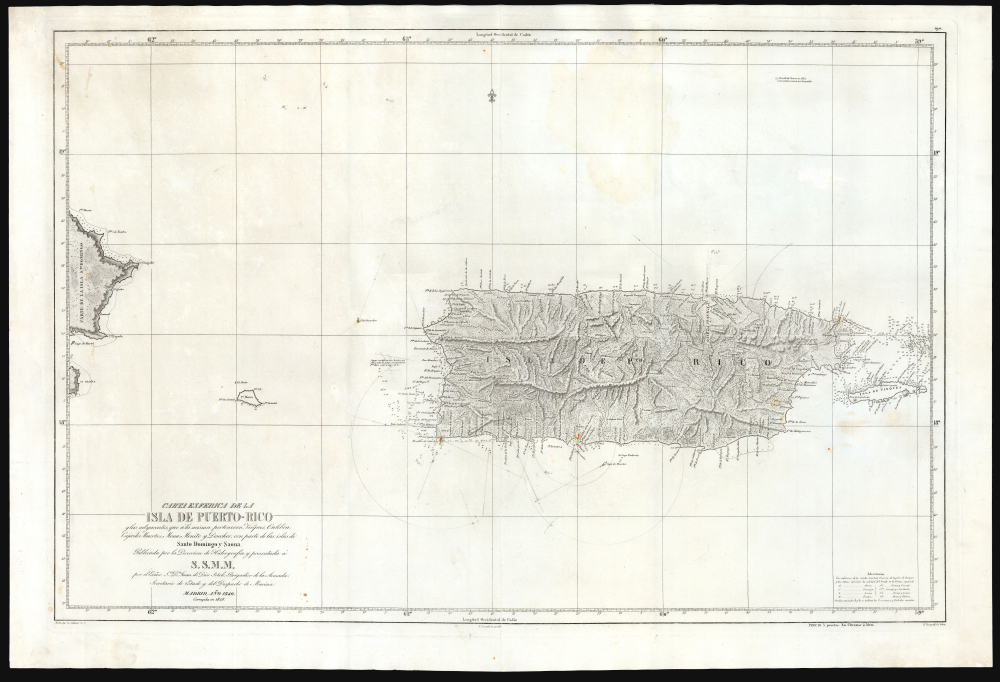
Carta Esferica De La Isla De Puerto-Rico y las adyacentes, que a la misma pertenecen Vicques, Culebra, Cajades Muertos, Mona, Monito y Desecho, con partie de las islas de Santa Domingo y Saona…
$1,500.00
Acquire
- Digital Map Information
- Suitable for large format printing
- Full resolution TIFF file
- ICC color profile embedded
- Delivered instantly via download link
An elegant, large nautical chart and topographical map of Puerto Rico, first published in 1840 by Miguel Moreno of the Spanish Depósito Hidrográfico. While presented as a nautical chart, both the coasts and interior of the island are scientifically precise and rich with detail. This is the first such map of Puerto Rico, surpassing the 1791 Tomas Lopez map, which had been considered the best map of Puerto Rico for nearly 50 years. (more details)