
NEW ACQUISITIONS
Colorful Guide to the City of Light.

Nouveau Paris Monumental Itieraire Pratique de l'Etranger dans Paris. / Plan de Paris Divise en 20 Arrondissements et 80 Quartiers.
$250.00
Acquire
- Digital Map Information
- Suitable for large format printing
- Full resolution TIFF file
- ICC color profile embedded
- Delivered instantly via download link
An iconic tourist pocket map and guidebook of Paris, France, prepared by André Leconte c. 1946. Designed for tourists, it highlights the monuments and other attractions of the City of Light while also providing practical information for the traveler. (more details)
A visually captivating piece celebrating Burgundy wines!
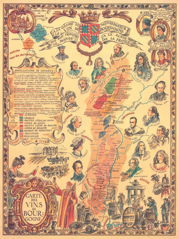
Carte des Vins de Bourgogne.
$250.00
Acquire
- Digital Map Information
- Suitable for large format printing
- File Size: 25.28 MB
- File Type: ZIP / TIFF
- ICC color profile embedded
- Delivered instantly via download link
This is an anonymous c. 1950 map of the Bourgogne (Burgundy) wine region in France. The map depicts the region around the Yonne River, Auxerre, and Chablis, as well as the region from the Ouche River and Dijon, along the Saône River south past Macon to Lyon. (more details)
Visual celebration of American folk music.
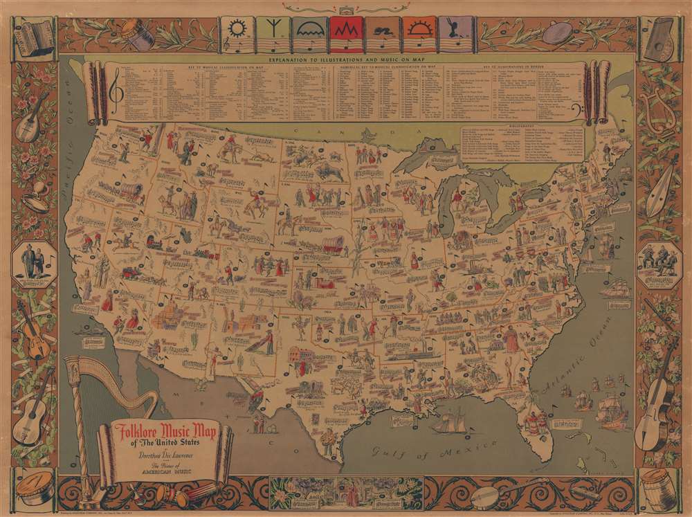
Folklore Music Map of the United States.
$1,200.00
Acquire
- Digital Map Information
- Suitable for large format printing
- File Size: 43.67 MB
- File Type: ZIP / TIFF
- ICC color profile embedded
- Delivered instantly via download link
This is a 1946 Dorothea Dix Lawrence and Harry Cimino pictorial folklore music map of the United States. The map is a visual celebration of American folk music. It was compiled by opera singer turned folklorist Dorothea Dix Lawrence from her 'Primer of American Music' radio program. The map is part of her efforts to broadly collect and disseminate music in America. (more details)
Most engrossingly detailed map of Southeast Asia to appear the first half of the 19th century.

Hinterindien.
$12,000.00
Acquire
- Digital Map Information
- Suitable for large format printing
- File Size: 47.71 MB
- File Type: ZIP / TIFF
- ICC color profile embedded
- Delivered instantly via download link
This is a striking 1832 Heinrich Berghaus map of Southeast Asia, comprising Burma, Siam (Thailand), Laos, Cambodia, Vietnam, Malaya, and Singapore. It was issued for Berghaus' looseleaf Atlas von Asien, the best-informed general cartographic work on Asia to appear in the mid-19th century. (more details)
Unique Internal planning wall map recording the early days of the Texas Highway System.
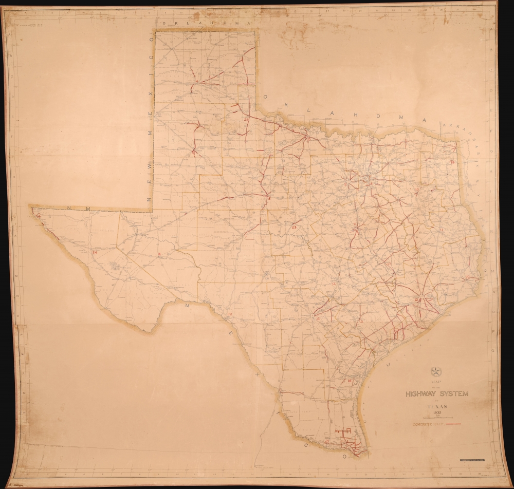
Map of the Highway System o Texas 1932.
$4,500.00
Acquire
- Digital Map Information
- Suitable for large format printing
- File Size: 5.75 MB
- File Type: ZIP / TIFF
- ICC color profile embedded
- Delivered instantly via download link
This is a massive 1932 wall map of the Texas Highway System drafted by Robert Martin Stene - featuring manuscript updates suggesting that the map was issued for internal use only. It captures a critical early phase in the development of the highway system as it transitioned old dirt and macadamized roads to concrete. It is the largest planning phase highway map of Texas known to survive. (more details)
Separately-issued Celestial Charts.
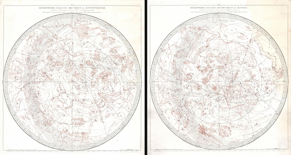
Hémisphère Céleste Arctique ou Septentrional calculé et construit pour l’année 1763 ... / Hémisphère Céleste Antarctique ou Austral calculé et construit pour l’année 1763 ...
$2,500.00
Acquire
- Digital Map Information
- Suitable for large format printing
- File Size: 66.13 MB
- File Type: ZIP / TIFF
- ICC color profile embedded
- Delivered instantly via download link
This is a stunning c. 1787 pair of separately issued celestial maps by Didier Robert de Vaugondy and Charles-François Delamarche. The maps employ a two-plate engraving system to highlight constellations in red - a unique feature not replicated elsewhere in Robert de Vaugondy's corpus. (more details)
Magnificent 19th century view of White Plains - one of only 3 known examples.
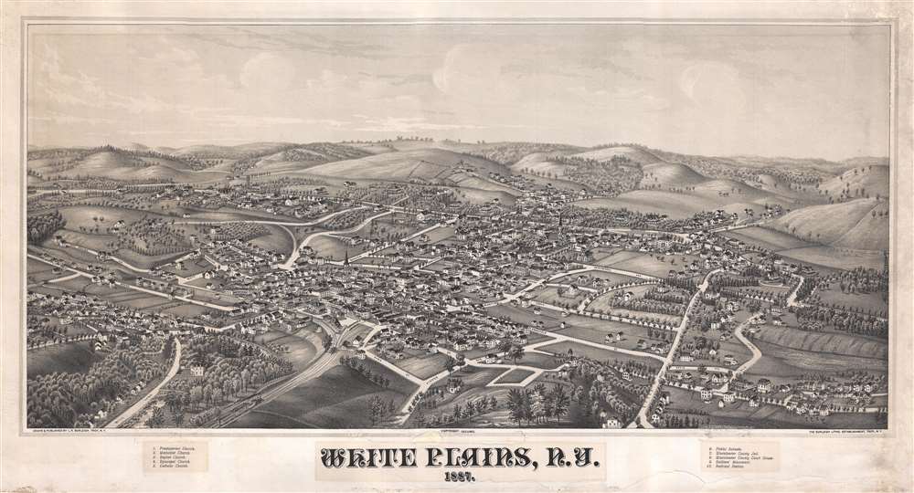
White Plains, N.Y. 1887.
$2,250.00
Acquire
- Digital Map Information
- Suitable for large format printing
- File Size: 18.84 MB
- File Type: ZIP / TIFF
- ICC color profile embedded
- Delivered instantly via download link
A fine example of Lucian Burleigh's extremely rare 1887 view of White Plains, New York. The map is oriented with northeast at top. It extends from Kensico Street (Now S. Kenisco Ave) to the conjunction of Banks Street and Fisher Avenue, and from the Bronx River to Old Post Road (Maple Ave). The viewpoint is from a low perspective somewhat southwest of the city. In an unusual exception to Burleigh's style, which restricts presentation to buildings and landscapes, and does not include people, animals, or carriages, the present map features a train entering the city from the southwest. Streets are labeled directly, and important buildings are identified numerically via a key in the lower margin. The view identifies five churches, public schools, the County Jail and Courthouse, a soldier's monument, and the railroad station. (more details)
First map to show modern polities in Malaya.
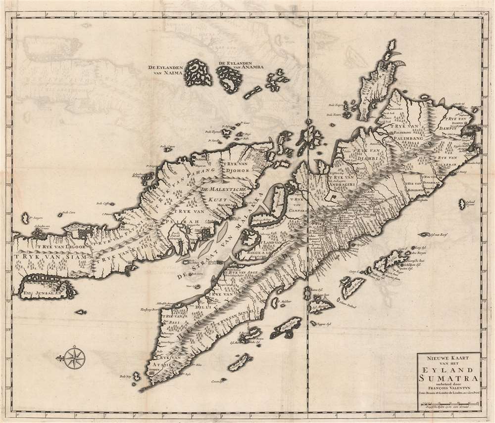
Nieuwe Kaart van het Eyland Sumatra verbeterd door Francois Valentyn.
$2,000.00
Acquire
- Digital Map Information
- Suitable for large format printing
- Full resolution TIFF file
- ICC color profile embedded
- Delivered instantly via download link
This is a superb example of Francois Valentijn's 1726 map of Malaya (Malaysia and Singapore) and Sumatra. This is the earliest published map to present a sophisticated treatment of Malaya and Sumatra, and the model upon which most subsequent maps through the late 18th century were based. It is, moreover, one of the earliest maps to expound upon the indigenous polities of Malaya. (more details)
Fortifying the Frontier.
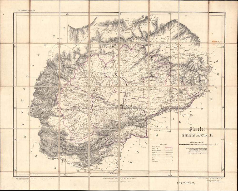
District Peshawar.
$2,000.00
Acquire
- Digital Map Information
- Suitable for large format printing
- File Size: 41.59 MB
- File Type: ZIP / TIFF
- ICC color profile embedded
- Delivered instantly via download link
A scarce folding map of Peshawar and environs, originally published in 1884 by the Survey of India and here updated to 1906. It presents the region as it was solidified as the frontline of the British Raj and a buffer zone between India and Afghanistan. (more details)
One of the first maps to show the Pacific Northwest.
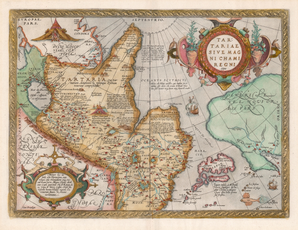
Tartariae Sive Magni Chami Regni typus.
$1,800.00
Acquire
- Digital Map Information
- Suitable for large format printing
- DPI: 600
- File Size: 46.45 MB
- File Type: ZIP / TIFF
- ICC color profile embedded
- Delivered instantly via download link
An example of Ortelius' seminal 1579 map of Tartary, one of the first maps to focus on the North Pacific. While the map is intended to detail Asia under the Great Khan, it is perhaps more notable for what it presents of America. The map includes what is now the west coast of the United States, northwestern Canada, and Alaska, lands then almost entirely unknown. It is the earliest obtainable map to name California. It also displays a strait separating Asia and America - the Strait of Anian - appearing long before Vitus Bering's exploration proved the existence of such. (more details)
Hunting the Enemy in the Early Days of World War I.
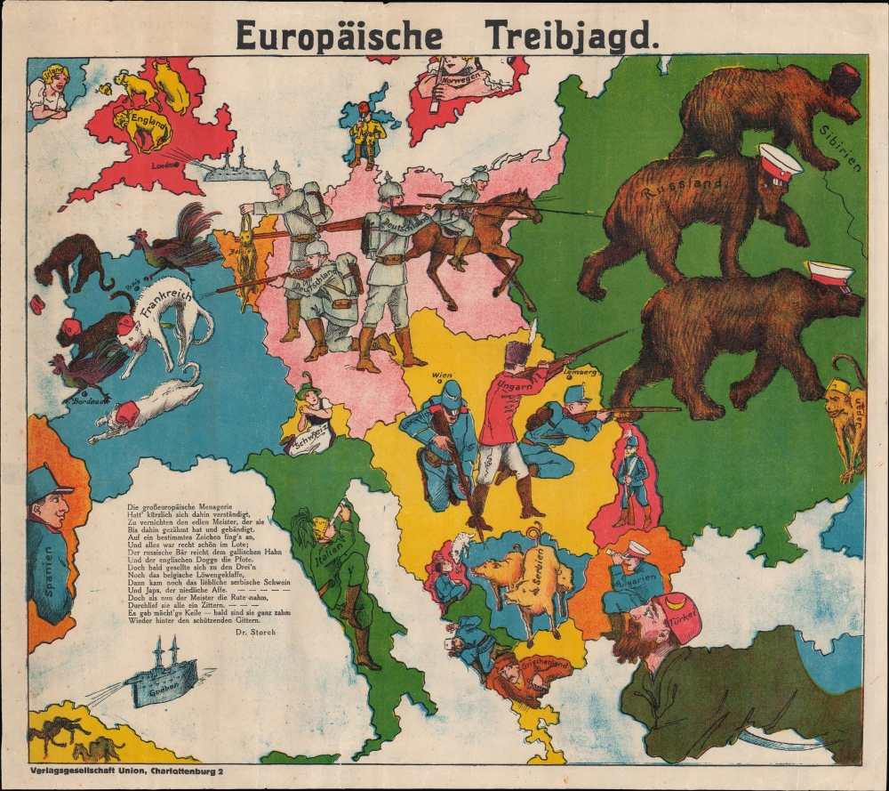
Europäische Treibjagd.
$1,800.00
Acquire
- Digital Map Information
- Suitable for large format printing
- DPI: 600
- File Size: 46.45 MB
- File Type: ZIP / TIFF
- ICC color profile embedded
- Delivered instantly via download link
Rare, Revised edition of a Foundational Map.
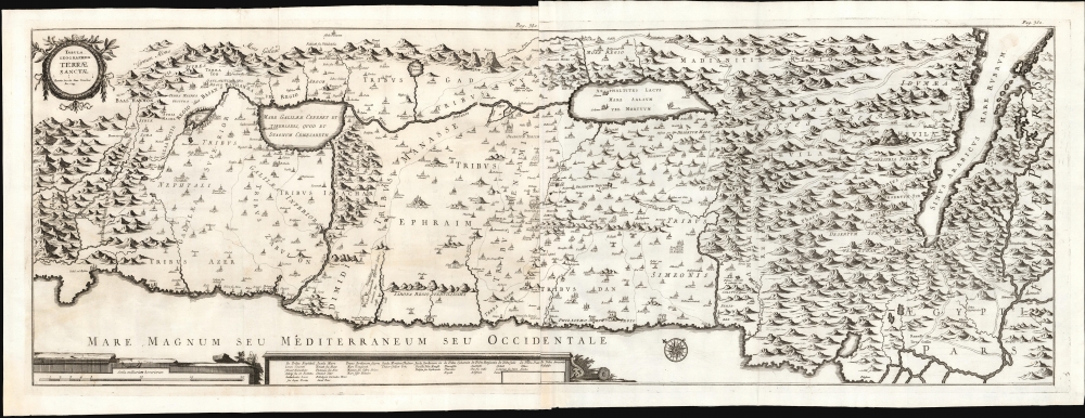
Tabula Geographica Terrae Sanctae.
$1,500.00
Acquire
- Digital Map Information
- Suitable for large format printing
- File Size: 41.75 MB
- File Type: ZIP / TIFF
- ICC color profile embedded
- Delivered instantly via download link
This is a large, rare map of the Holy Land, engraved in 1743 for inclusion in the fifth volume of Blasio Ugolino's monumental Thesaurus Antiquitatum Sacrarum, ultimately a thirty-four collection of Latin descriptions of Jewish customs, laws, institutions, and rites. (more details)
German Gloating in the Early Days of World War I.

Humoristische Karte von Europa im Jahre 1914.
$1,400.00
Acquire
- Digital Map Information
- Suitable for large format printing
- File Size: 14.2 MB
- File Type: ZIP / TIFF
- ICC color profile embedded
- Delivered instantly via download link
A biting 1914 serio-comic German chromolithographic map of the belligerents in the First World War, drawn by Karl Lehmann-Dumont and published by Leutert and Schneidewind. It presents the German perspective on the conflict, mocking its main opponents (France, Britain, and Russia) and their allies, as well as neutral countries. (more details)
Cataloging the World's Peoples.
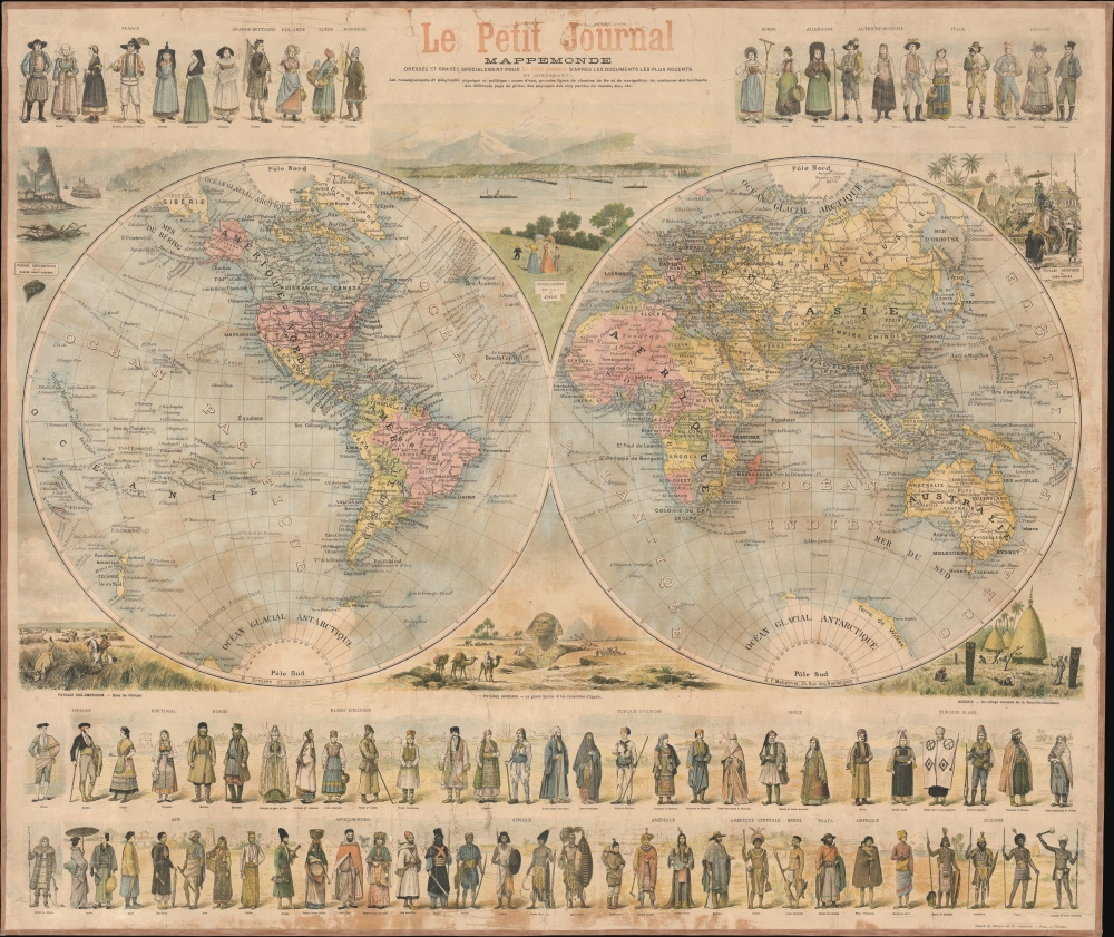
Mappemonde dressée et grave spécialement pour le Petit Journal d’après les documents le plus récents…
$1,400.00
Acquire
- Digital Map Information
- Suitable for large format printing
- File Size: 110.71 MB
- File Type: ZIP / TIFF
- ICC color profile embedded
- Delivered instantly via download link
A superb c. 1897 wall map of the world in two hemispheres printed by Emil Charaire for Le Petit Journal, the largest newspaper in the world at the time. Among other interesting features, the map is surrounded by figures in ethnic dress representing the peoples of the world. (more details)
Early European mapping of the South China Sea.

A Carte Faite sur les Lieux part Daniel Tavernier in plusieurs Voiages qu il a fait au Tonquin.
$900.00
Acquire
- Digital Map Information
- Suitable for large format printing
- File Size: 3.84 MB
- File Type: ZIP / TIFF
- ICC color profile embedded
- Delivered instantly via download link
This is a 1682 map of what is today Vietnam and the South China Sea by the French Huguenot merchant-adventurer Daniel Tavernier. The map covers the coast of Vietnam from southern China to the Mekong Delta. It includes parts of modern-day China, including the Island of Hainan, and the Chinese coast roughly as far north as modern-day Hong Kong and Macau. It names the Island of Shangchuan (上川岛), just south of Hong Kong, where the Navarrese-Basque Roman Catholic missionary, St. Francis Xavier, died. (more details)
One of the Earliest Modern Maps Ceylon / Sri Lanka.

[Tabula XII. Asiae.]
$750.00
Acquire
- Digital Map Information
- Suitable for large format printing
- Full resolution TIFF file
- ICC color profile embedded
- Delivered instantly via download link
This is Laurent Fries' 1525 edition of Martin Waldseemüller's Ptolemaic map of Sri Lanka. This island - here named Taprobana - represented, for Ptolemy, the limit of European geographic knowledge in the east. The smallest area to have appeared in Ptolemaic canon, later geographers wrestled with the identity of the island depicted. Many correctly identified the island as Sri Lanka, though Munster, Mercator, and others speculated that the better candidate was Sumatra. (more details)
Rare confederate imprint.
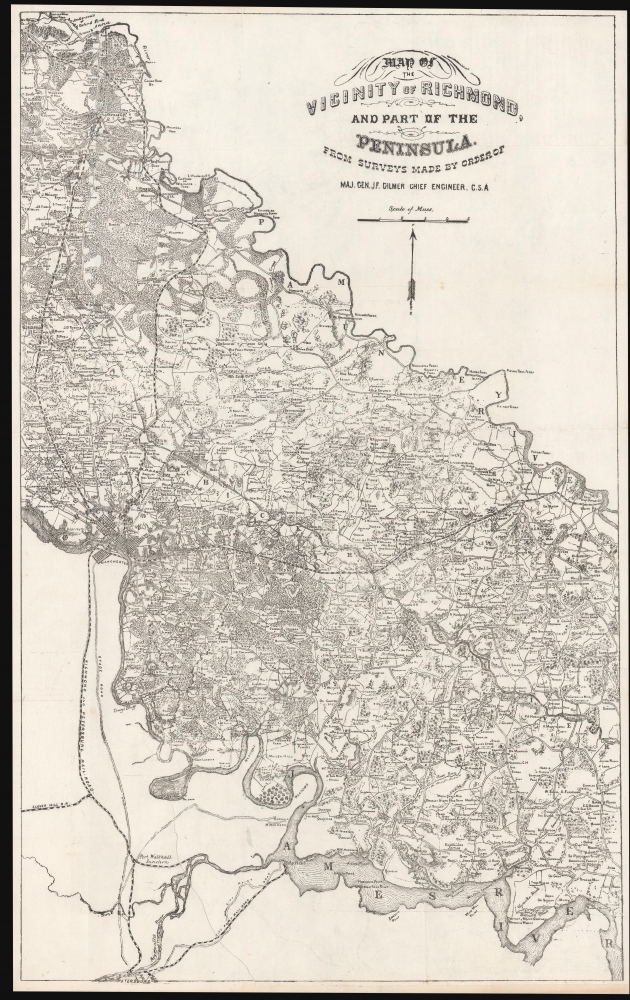
Map of the Vicinity of Richmond, and part of the Peninsula, from Surveys made by the order of Maj. Gen. J. F. Gilmer Chief Engineer, C.S.A.
$700.00
Acquire
- Digital Map Information
- Suitable for large format printing
- File Size: 545.26 MB
- File Type: ZIP / TIFF
- ICC color profile embedded
- Delivered instantly via download link
This is a scarce c. 1866 Civil War map of the vicinity of Richmond, Virginia, issued in Richmond by Confederate Civil Engineer Major General Engineer Jeremy Francis Gilmer. (more details)
Siwa, Bahariya, Farafra, Dakhla-Kharga Circuit.
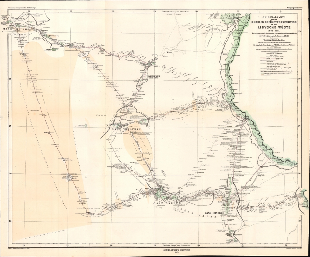
Originalkarte der von G. Rohlfs geführten Expedition in die Libysche Wüste, 1873 - 1874.
$500.00
Acquire
- Digital Map Information
- Suitable for large format printing
- File Size: 12.48 MB
- File Type: ZIP / TIFF
- ICC color profile embedded
- Delivered instantly via download link
A fascinating map of the deserts of western Egypt and eastern Libya, tracing the routes of the 1873 - 1874 Rohlfs Expedition, drawn by the expedition's surveyor Wilhelm Jordan. It is one of the few, and perhaps the first, early maps to detail the desert oases of western Egpyt. Today, the Siwa, Bahariya, Farafra, Dakhla-Kharga Route is a possible if rugged circuit for the adventurous traveler. (more details)
Failed Effort to Rename the Heavens.
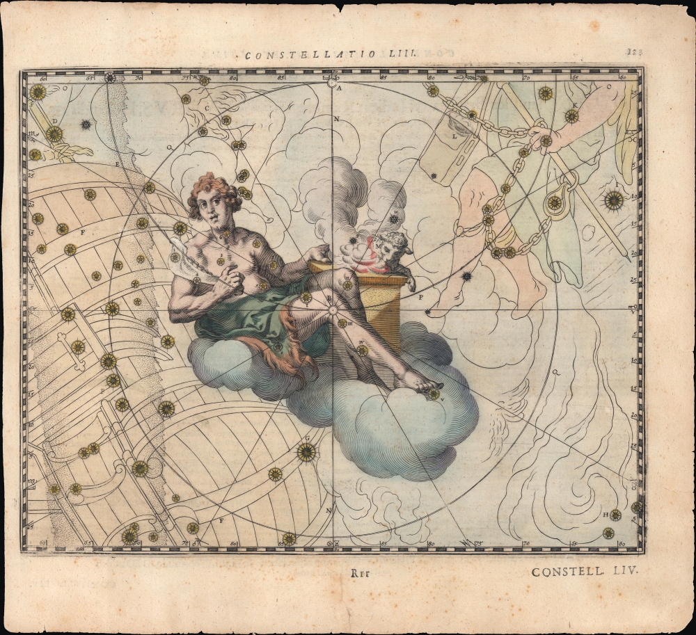
Constellatio LIII. [Abelis Iusti].
$500.00
Acquire
- Digital Map Information
- Suitable for large format printing
- Full resolution TIFF file
- ICC color profile embedded
- Delivered instantly via download link
A hand-colored 1627 celestial map of the Volans and Dorado constellations as the Biblical figure Abel. It appeared in Julius Schiller's rare 1627 star atlas Coelum stellatum Christianum. Schiller's atlas aimed, but failed, to have fellow astronomers replace the classical zodiac and Greco-Roman figures with Christian ones. (more details)
'The Greatest Mountain.' -Penobscot Peoples
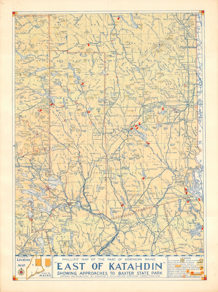
Phillips' Map of the Part of Northern Maine 'East of Katahdin' Showing Approaches to Baxter State Park.
$400.00
Acquire
This is Augustus D. Phillips' scarce 1964 map of northeastern Maine showing Mount Katahdin and Baxter State Park. It is among the rarest maps issued by the Maine artist, with only two other examples known. (more details)