
NEW ACQUISITIONS
First European Atlas map specifically of China.
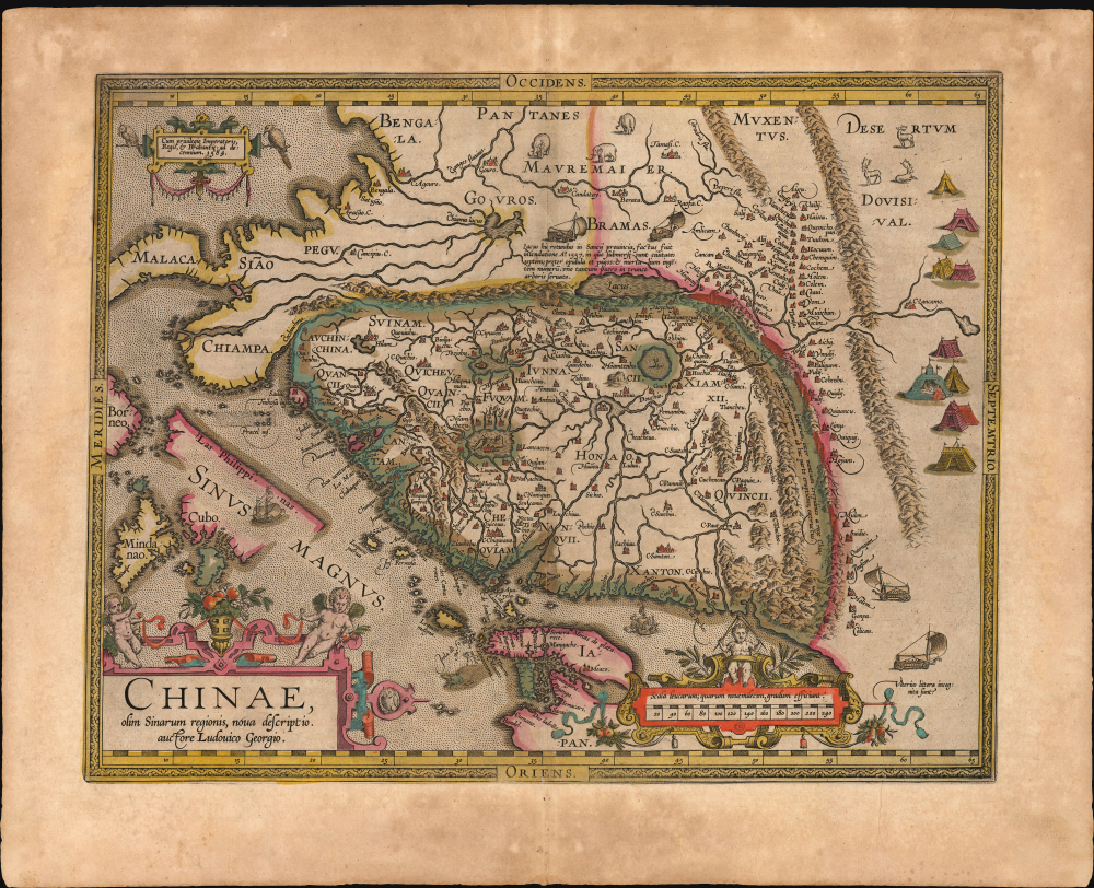
Chinae, olim Sinarum regionis, nova descriptio. auctore Ludovico Georgio.
$5,500.00
Acquire
- Digital Map Information
- Suitable for large format printing
- Full resolution TIFF file
- ICC color profile embedded
- Delivered instantly via download link
This is Abraham Ortelius' 1584 map of China, the first specific map of China, Southeast Asia, and the Philippines to appear in an atlas, here in an original-color example of a 1608 Vrients edition. This is the first printed European map of China and first atlas map to name the Philippines as an archipelago. This map remained definative regional map until superceded in 1655 maps of Martino Martini (卫匡国; 1614 - 1661). (more details)
Italian Edition of a Seminal Map of America.

America Settentrionale.
$4,500.00
Acquire
- Digital Map Information
- Suitable for large format printing
- Full resolution TIFF file
- ICC color profile embedded
- Delivered instantly via download link
This is the rare, 1700 first state of Paolo Petrini's map of North America, produced by the Neopolitan map publisher for inclusion in his Atlante Partenopeo. It presents North America, including the Maritimes, the West Indies, and Central America. The work was derived from the authoritative cartography of the French mapmaker Nicolas Sanson, whose 1669 map of North America provided the basis for this Italian edition. (more details)
New York City's grid swallows up The Parade.
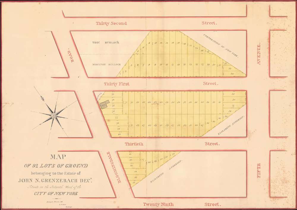
Map of 92 Lots of Ground belonging to the Estate of John N. Grenzebach Desd. Situate in the Sixteenth War of the City of New York.
$3,000.00
Acquire
- Digital Map Information
- Suitable for large format printing
- Full resolution TIFF file
- ICC color profile embedded
- Delivered instantly via download link
This is a finely executed 1838 Daniel Ewen manuscript map capturing the early evolution of NoMad and Koreatown, Manhattan, New York City. Today, this area is one of the most vibrant parts of New York, known for its bustling Koreatown and sleek restaurants. When this map was drawn, these properties were in the process of being broken out of the John Nicholas Grenzebach estate and lotted for sale. (more details)
Waning Days of Antigua's Plantation Economy.
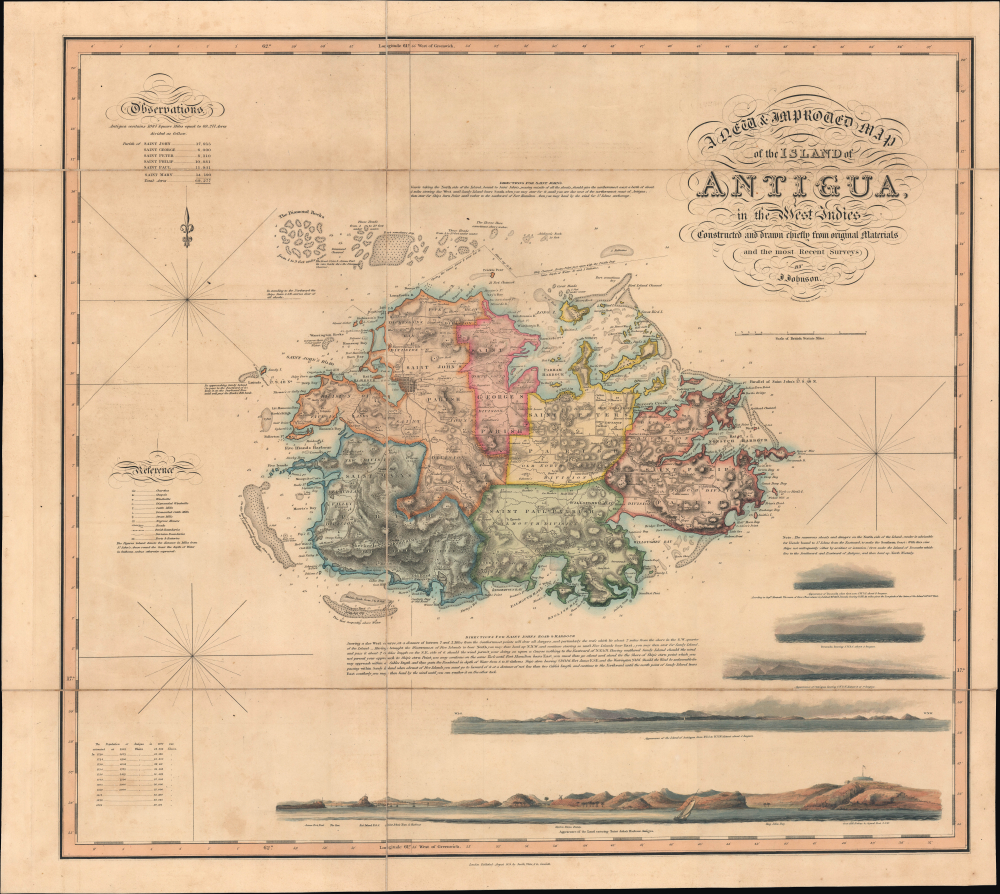
A New and Improved Map of the Island of Antigua, in the West Indies.
$3,000.00
Acquire
- Digital Map Information
- Suitable for large format printing
- Full resolution TIFF file
- ICC color profile embedded
- Delivered instantly via download link
This is J. Johnson's rare 1829 folding map of Antigua, published by Smtih, Elder, and Co. It holds both cartographic and historical significance, being the only major map of Antigua produced between 1793 and 1852, and, having been issued on the eve of the abolition of slavery, capturing the island in the late stages of the plantation slavery economy. (more details)
Renaming Streets, Reviving Catalan Identity.
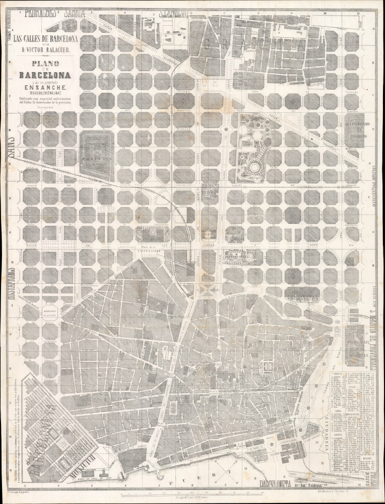
Plano de Barcelona y de su Proyectado / Las Calles de Barcelona.
$2,750.00
Acquire
- Digital Map Information
- Suitable for large format printing
- Full resolution TIFF file
- ICC color profile embedded
- Delivered instantly via download link
This is a rare 1867 map of Barcelona, prepared for Víctor Balaguer's book Las Calles de Barcelona, which led to the renaming of streets in Barcelona's Eixample district to better reflect Catalan identity. Balaguer's street nomenclature represents a wider renaixença of Catalan identity in the mid-late 19th century. (more details)
Enabling the armed services vote during WWII.
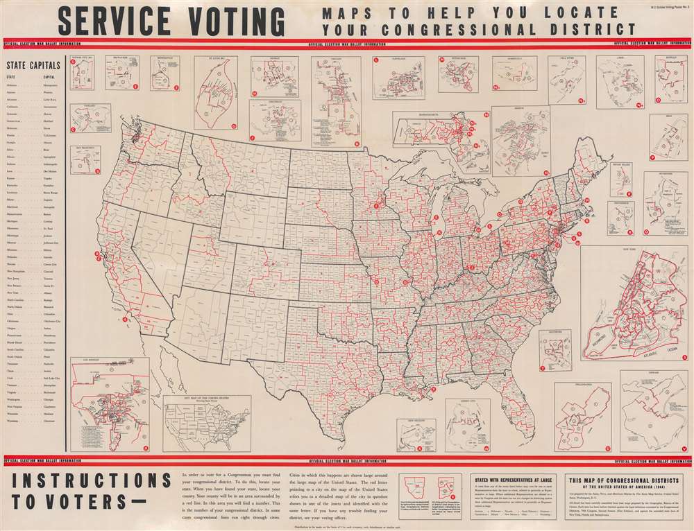
Service Voting. Maps to Help You Locate Your Congressional District.
$2,000.00
Acquire
- Digital Map Information
- Suitable for large format printing
- Full resolution TIFF file
- ICC color profile embedded
- Delivered instantly via download link
This is a 1944 Army Map Service map of the United States created to direct U.S. service personnel to their congressional district. The map reflects a broad effort during World War II (1939 - 1945) to help actively servering soliders cast their votes in the 1944 Presidental Election. (more details)
Ottoman Irredentism in Africa.
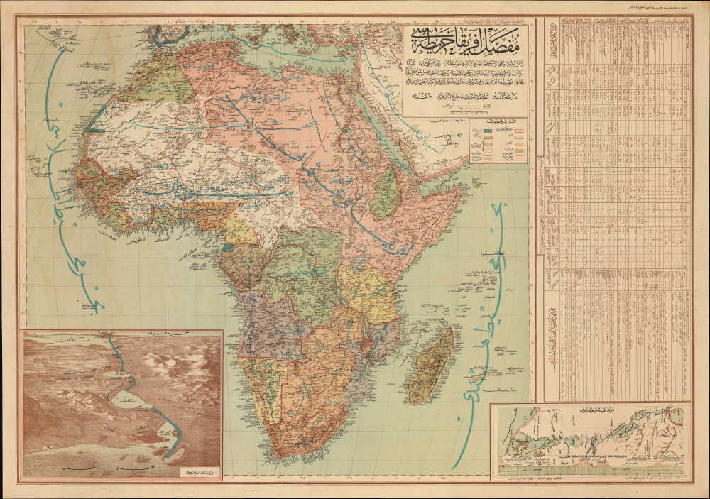
مفصل افريقا خريطة / [Detailed Map of Africa].
$2,000.00
Acquire
- Digital Map Information
- Suitable for large format printing
- Full resolution TIFF file
- ICC color profile embedded
- Delivered instantly via download link
This is a rare, large-format Ottoman Turkish wall map of Africa, produced c. 1908 by the empire's Ministry of Public Education. It reflects the efforts of Ottoman reformers to disseminate geographic knowledge through the education system while also reinforcing pride in the empire through irredentism and maximalist territorial claims. (more details)
Brattleboro by one of the Great American viewmakers.
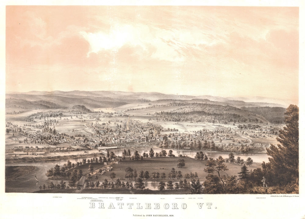
Brattleboro Vt.
$1,800.00
Acquire
- Digital Map Information
- Suitable for large format printing
- Full resolution TIFF file
- ICC color profile embedded
- Delivered instantly via download link
A striking 1856 Batchelder (Bachelder) and Bufford two-color chromolithograph bird's-eye view map of Brattleboro, Vermont. (more details)
Curious Late 19th Century Greek Manuscript Map.
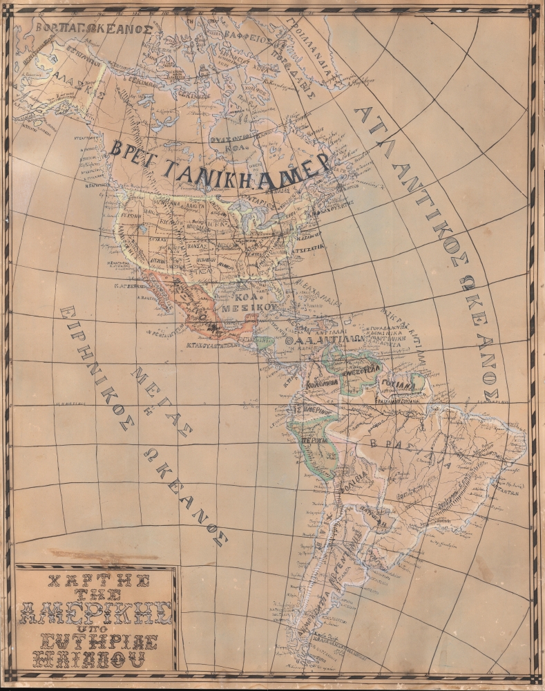
ΧΑΡΤΗΣ ΤΗΣ ΑΜΕΡΙΚΗΣ / [Map of America].
$1,800.00
Acquire
- Digital Map Information
- Suitable for large format printing
- Full resolution TIFF file
- ICC color profile embedded
- Delivered instantly via download link
An intriguing c. 1880 Greek manuscript map of the Americas produced by Sotirias Iliadou, who was possibly a schoolchild, though the level of skill and precision displayed suggests an older student. It is the only example of the 'Schoolgirl Map' genre we've identified in Greek. (more details)
Resource Extraction in the Belgian Congo.
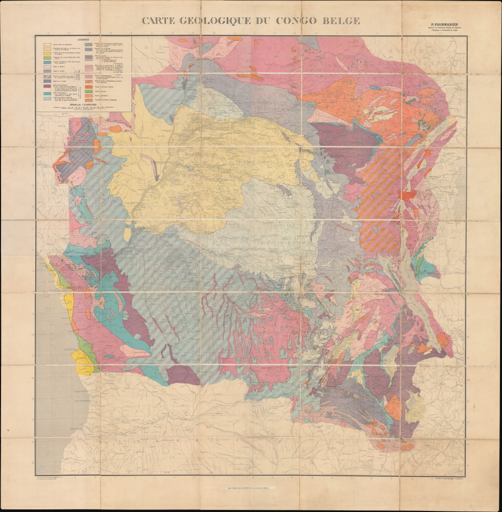
Carte Geologique du Congo Belge.
$1,000.00
Acquire
- Digital Map Information
- Suitable for large format printing
- Full resolution TIFF file
- ICC color profile embedded
- Delivered instantly via download link
This is a large-format 1930 folding geological map of the Belgian Congo, prepared by geologist Paul Fourmarier. The map is a product of Belgian colonial efforts to pillage the Congo's vast natural resources - copper, cobalt, diamonds, and other minerals - through exploitative forced labor. (more details)
First lithograph map of Cabo San Lucas and Isla Socorro.
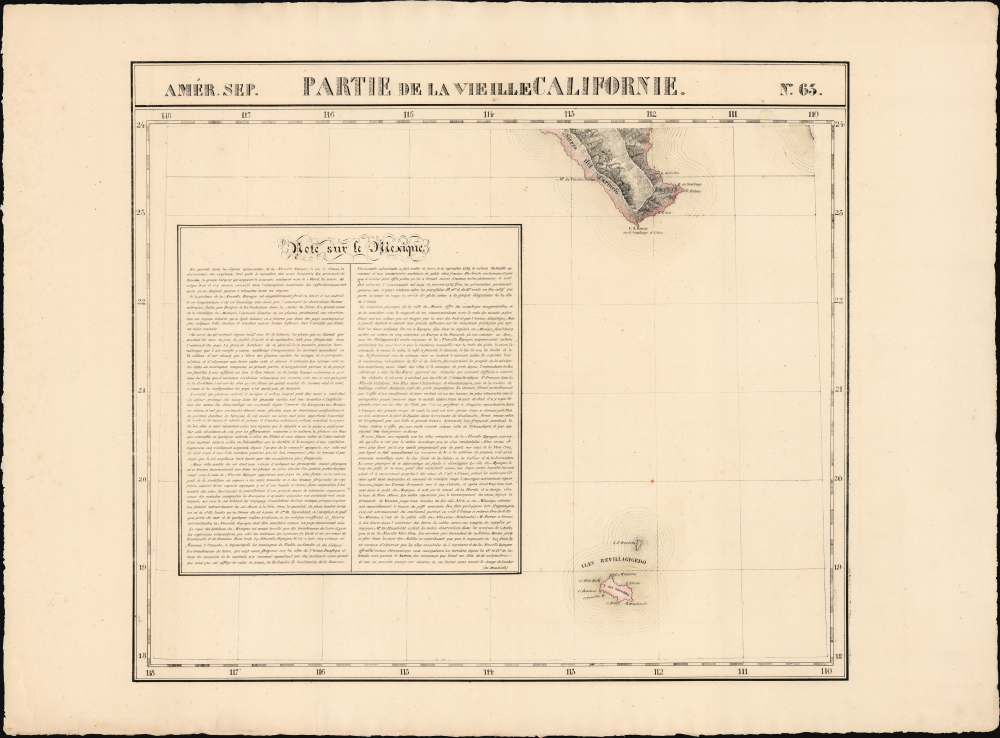
Partie de la Vieille Californie. Amer. Sep. no. 63.
$400.00
Acquire
- Digital Map Information
- Suitable for large format printing
- Full resolution TIFF file
- ICC color profile embedded
- Delivered instantly via download link
This is the 1827 Vandermaelen map of the tip of Baja California and the Revillagigedo Islands, off the coast of Northwestern Mexico. Vandermaelen's map provided the best large-format image of the region, presented with the remarkable clarity afforded by the new printing technology of lithography. Vandermaelen's Atlas Universel was the first lithographic atlas and the first to be printed on a universally consistent scale; his strict adherence to that scale meant that his maps could, conceivably, have been joined to make a single massive map. As a result, many of his maps presented areas such as this: unprecedented focus on nonintuitively chosen regions. (more details)
First printed map of the Western Hemisphere in one of its earliest printings.
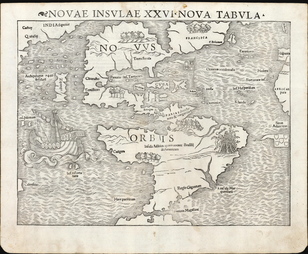
Novae Insulae XVII Nova Tabula.
$12,500.00
Acquire
- Digital Map Information
- Suitable for large format printing
- Full resolution TIFF file
- ICC color profile embedded
- Delivered instantly via download link
This is a superb example of Sebastian Münster's 1540 map of America, the first printed map of the Western Hemisphere. It is the first map to name the Pacific Ocean and the Straits of Magellan, and among the earliest acquirable maps to show and name Japan (Zipangri, located surprisingly close to America). This is the 2nd state of the map from the 1545 3rd printing of Geographia, marking this map as one of the handful printed during Münster's lifetime. (more details)
Last Days of Mandatory Palestine.
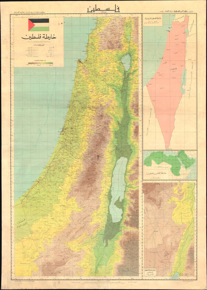
فلسطين ١٩٤٨/ خارطة فلسطين / [Palestine 1948 / Map of Palestine].
$2,800.00
Acquire
A large wall map of Palestine as it appeared in 1948, in the waning days of the British Mandate, produced by the Palestine Liberation Organization Research Center c. 1966. The map's compilation was overseen by Said Kamel Sabbagh, an accomplished Palestinian-Lebanese geographer, and thus represents the PLO's approved reference map for the Mandatory period. It represents the opening phase of the Nakba or 'Catastrophe.' (more details)
Earliest acquirable medieval plan of Jerusalem.
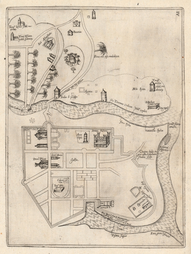
[Jerusalem.]
$2,000.00
Acquire
- Digital Map Information
- Suitable for large format printing
- Full resolution TIFF file
- ICC color profile embedded
- Delivered instantly via download link
This rare plan of Jerusalem is the earliest printed iteration of Pietro Vesconte's manuscript plan of the city. While not committed to print until this 1611 edition by Jacques Bongars, the map is the work of the 14th-century Venetian cartographer Vesconte, who produced it c. 1320 to promote Marino Sanudo's proposed crusade to recapture the city. As such, it is one of the earliest surviving plans to support a specific military effort. (more details)
Earliest printing of a Military Portolan of the Eastern Mediterranean.
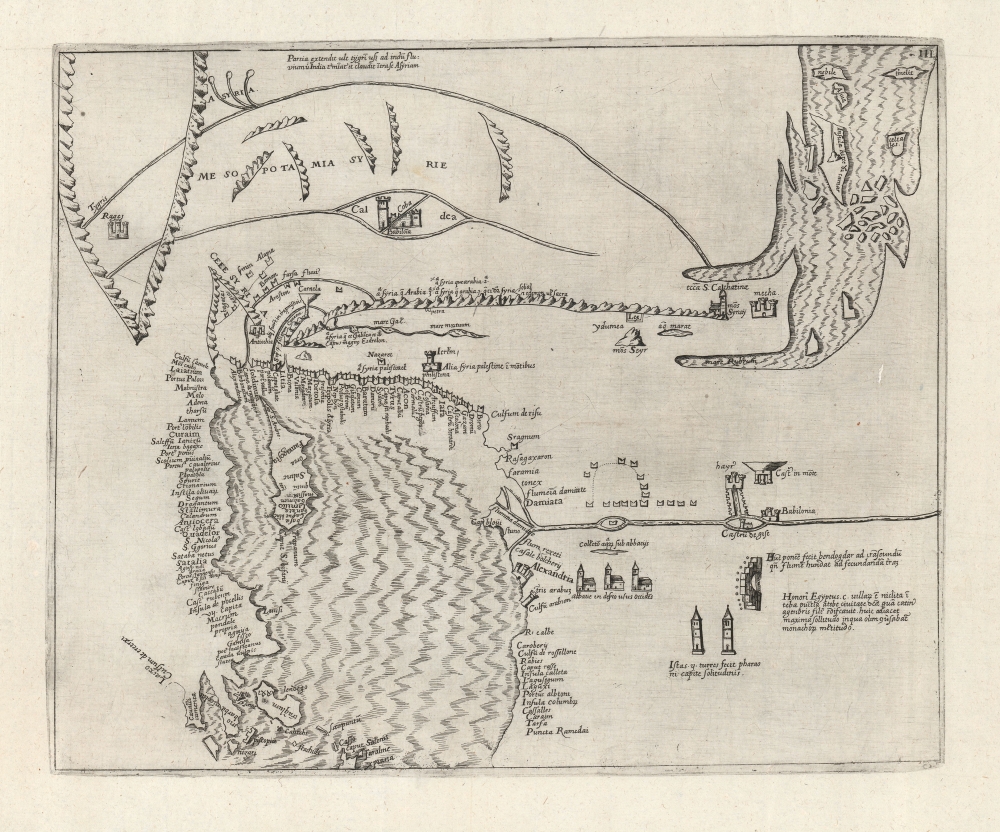
[Holy Land, Eastern Mediterranean, Egypt, Arabia and Mesopotamia.]
$1,800.00
Acquire
- Digital Map Information
- Suitable for large format printing
- Full resolution TIFF file
- ICC color profile embedded
- Delivered instantly via download link
This is the earliest printed iteration of Pietro Vesconte's 1611 portolan map of the Eastern Mediterranean, the Lower Nile, the Arabian Peninsula, and Mesopotamia. While not committed to print until this 1611 edition by Jacques Bongars, the map is the work of the 14th-century Venetian cartographer Vesconte, who produced it c. 1320 to promote Marino Sanudo's proposed crusade. As such, it is one of the earliest surviving maps to support a specific military effort. (more details)
Spain's Answer to Cook and Laperouse.
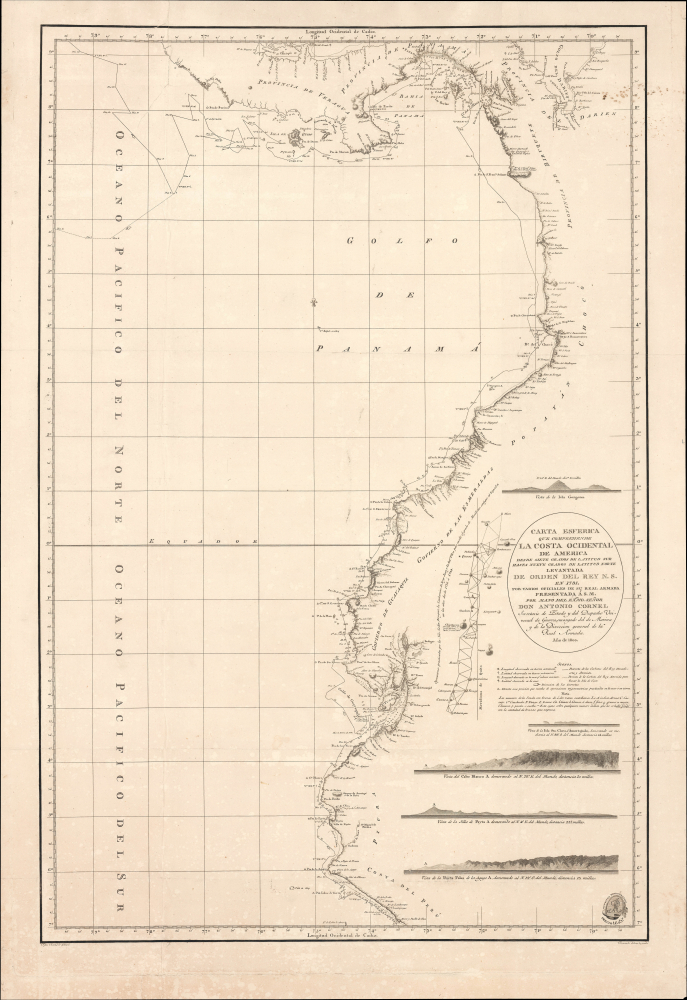
$1,200.00
Acquire
- Digital Map Information
- Suitable for large format printing
- Full resolution TIFF file
- ICC color profile embedded
- Delivered instantly via download link
This is an 1800 maritime map or nautical chart of the northern part of the Pacific Coast of South America, prepared by Felipe Bauzá y Cañas and published by the Deposito Hidrografico (Direccion Hidrografía). Bauzá has been the main hydrographer on the Alexandro Malaspina Expedition (1789 - 1794), a Spanish effort to chart the western coast of America and explore the Pacific Ocean, akin to the slightly earlier British and French voyages led by James Cook and Lapérouse, respectively. (more details)
The Transformation of Kuwait City.
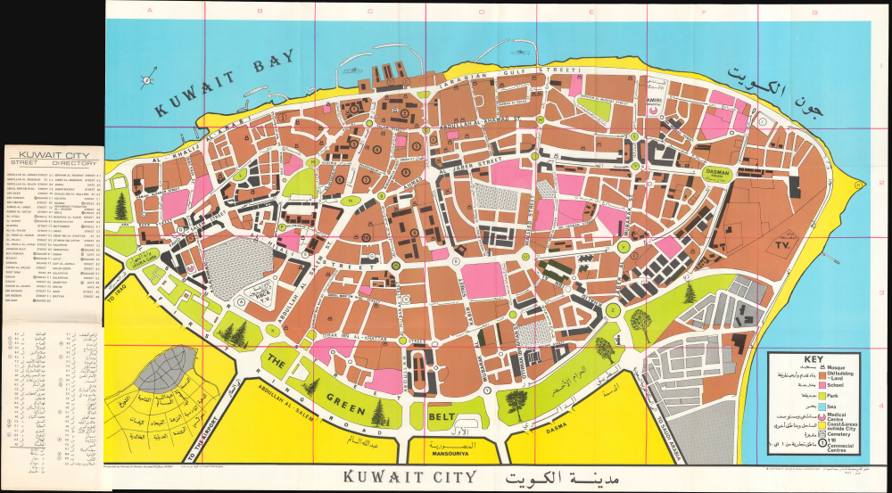
Kuwait City / مدينة الكويت.
$1,200.00
Acquire
This is an unrecorded 1976 large-format city plan or map of Kuwait City, Kuwait, prepared by Hamad Al-Saidan. It was published as Kuwait City was emerging as one of the most modern, cosmopolitan cities in the Arab World after a wholesale transformation following Kuwait's independence in 1961. (more details)
Teaching virtue and vice.
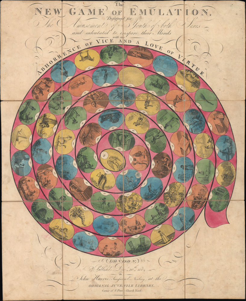
The New Game of Emulation...
$1,200.00
Acquire
- Digital Map Information
- Suitable for large format printing
- Full resolution TIFF file
- ICC color profile embedded
- Delivered instantly via download link
This is a curious 1804 game board published by John Harris in London. It is a characteristic game-of-goose model didactic game of the Georgian Era, designed to instill in children an 'abhorrence of vice and a love of virtue.' (more details)
First lithograph map of Baja.
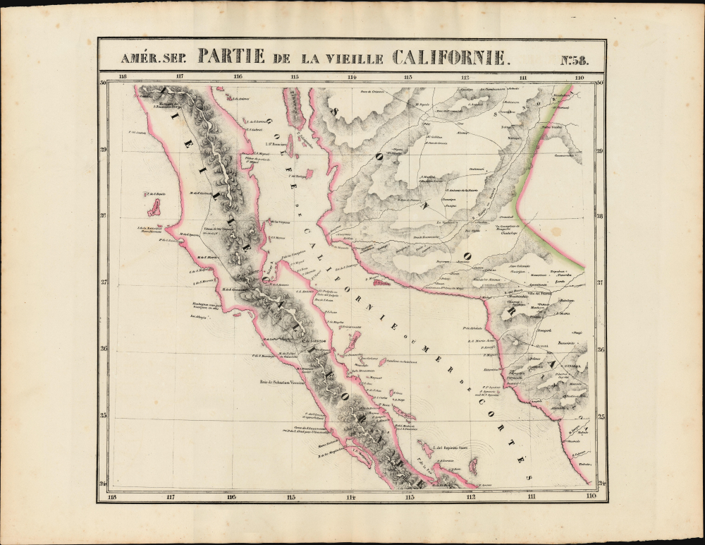
Partie de la Vieille Californie. Amer. Sep. no. 58.
$750.00
Acquire
- Digital Map Information
- Suitable for large format printing
- Full resolution TIFF file
- ICC color profile embedded
- Delivered instantly via download link
This is the 1827 Vandermaelen map of Baja California, the Gulf of California, and Northwestern Mexico. Vandermaelen's map provided the best large-format image of the region, presented with the remarkable clarity afforded by the new printing technology of lithography. Vandermaelen's Atlas Universel was the first lithographic atlas and the first to be printed on a universally consistent scale. (more details)
Earliest obtainable modern map of Poland and Hungary.

Nouvelle description de Poloigne et Hongrie.
$450.00
Acquire
- Digital Map Information
- Suitable for large format printing
- Full resolution TIFF file
- ICC color profile embedded
- Delivered instantly via download link
This is Sebastian Münster's 1540 map of Poland and Hungary, the first acquirable map to focus on the region using contemporary place names and geographical knowledge, in a French-text edition of 1556. (more details)