
NEW ACQUISITIONS
One of the most decorative 19th century maps of New York City - here with original full color.
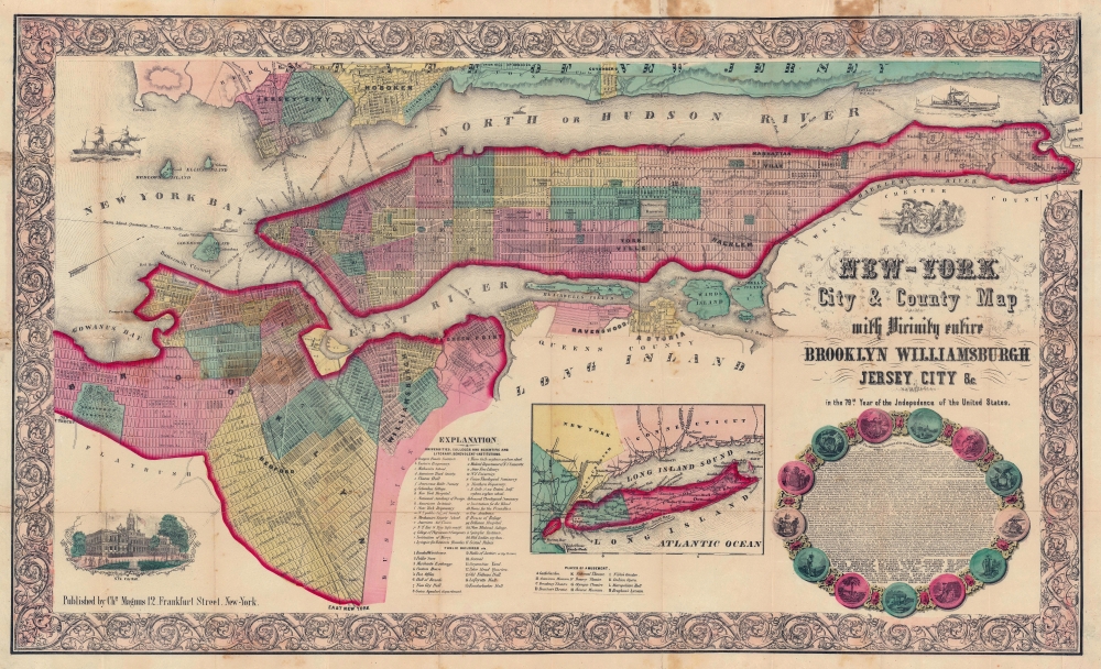
New-York City and County Map with Vicinity entire Brooklyn Williamsburgh Jersey City an c. in the 79th Year of Independence of the United States.
$1,500.00
Acquire
- Digital Map Information
- Suitable for large format printing
- Full resolution TIFF file
- ICC color profile embedded
- Delivered instantly via download link
The rare full-color edition of Charles Magnus's extraordinary 1855 broadside map of New York City, issued to commemorate the signing of the Declaration of Independence. This is one of the finest and most visually striking maps of New York City to appear in the 19th century. Moreover, the present example is only the 2nd full original color example of this map we have seen. (more details)
Frontline of the East Africa Campaign.
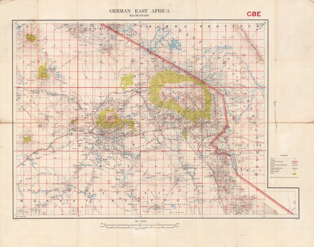
German East Africa. Kilimanjaro. GBE.
$1,500.00
Acquire
- Digital Map Information
- Suitable for large format printing
- File Size: 48.04 MB
- File Type: ZIP / TIFF
- ICC color profile embedded
- Delivered instantly via download link
A highly detailed 1915 Ordnance Survey map of the region around Mt. Kilimanjaro, produced in the opening phase of the East Africa Campaign during World War I (1914 - 1918). This area saw some of the earliest fighting in Africa of the war, battles in which British forces fared badly against numerically inferior but wily German opponents. (more details)
One of the Earliest Charts of the Bahamas: a Pirates Playground.
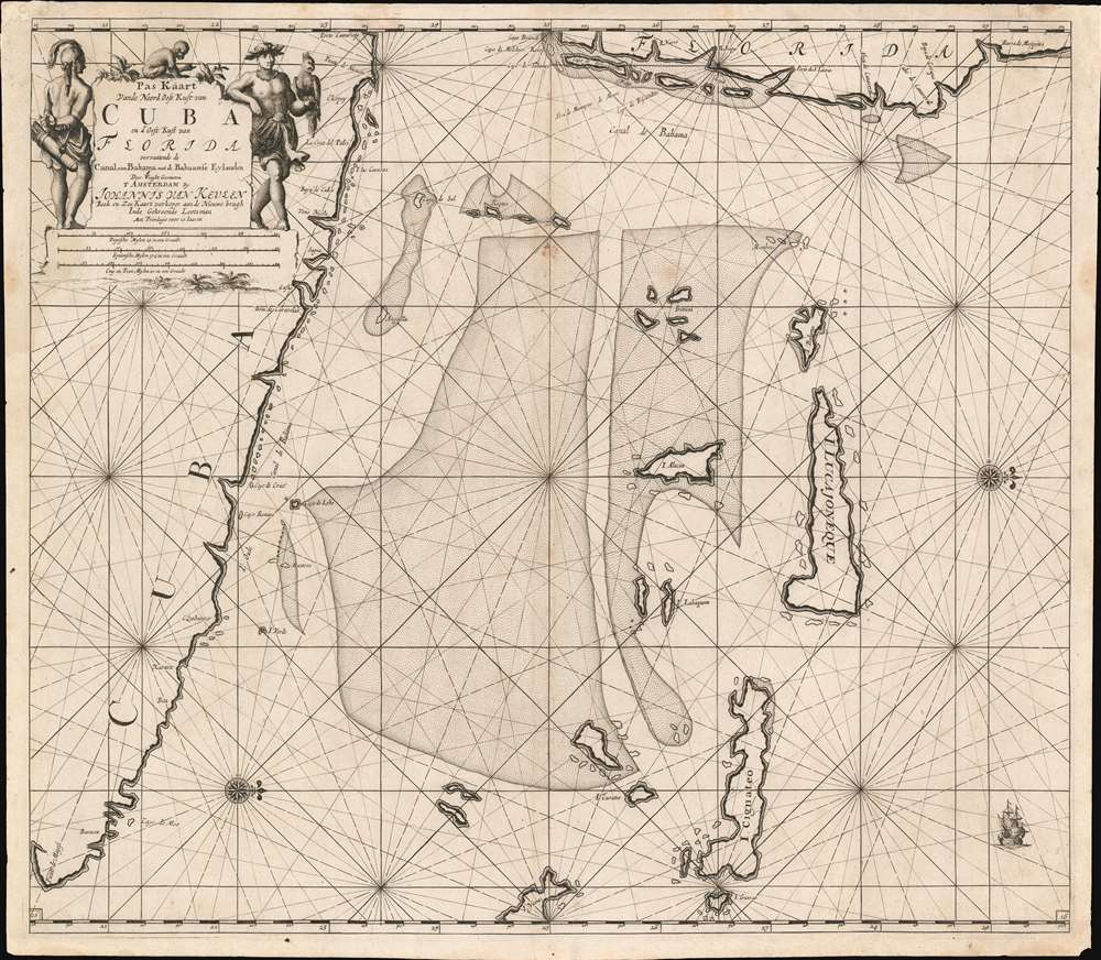
Pas Kaart Vande Noord Oost Kust van Cuba en d'Oost Kust van FLORIDA vervaatende de Canal van Bahama met de Bahaamse Eylende Door Vooght Geometra…
$1,200.00
Acquire
- Digital Map Information
- Suitable for large format printing
- DPI: 600
- File Size: 28.67 MB
- File Type: ZIP / TIFF
- ICC color profile embedded
- Delivered instantly via download link
A bold example of Claes Jansz Vooght and Johannes Van Keulen's 1684 nautical map of the Straits of Florida. Issued at the peak of the Golden Age of Caribbean Piracy (c. 1650 - 1730), this is the first published nautical chart to specifically detail these waters. (more details)
Steel-engraved view of Boston.
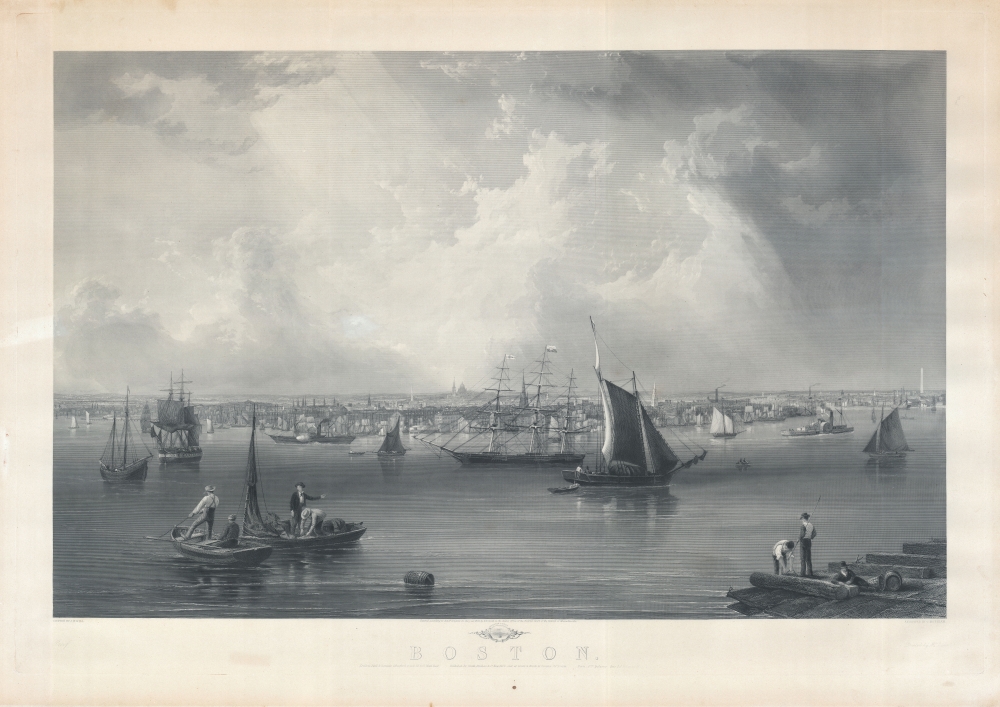
Boston.
$1,200.00
Acquire
- Digital Map Information
- Suitable for large format printing
- File Size: 241.84 MB
- File Type: ZIP / TIFF
- ICC color profile embedded
- Delivered instantly via download link
This is an 1857 view of Boston Harbor by John William Hill. The view exhibits sweeping majesty, is finely engraved and impressively proportioned, and is thus one of the finest mid-19th-century large-format views of Boston Harbor. It reveals a bustling harbor with ships of all nations and types. In the foreground, fishermen and dockworkers ply their trade. In the background, the Bunker Hill Monument and various church steeples are visible. A stamp identifying this as a proof state appears in the lower left. (more details)
Balancing Out the Balkans.

Oesterreichisch Ungarische Monarchie.
$1,000.00
Acquire
- Digital Map Information
- Suitable for large format printing
- File Size: 223.67 MB
- File Type: ZIP / TIFF
- ICC color profile embedded
- Delivered instantly via download link
This is a massive (56 x 70.5 in.) folding wall map of the Austro-Hungarian Empire, prepared in 1882 by Carl Friedrich Baur. It depicts the lands of the Dual Monarchy in the aftermath of the 1878 Congress of Berlin, which saw Austria-Hungary occupy Bosnia and Herzegovina as part of a coordinated effort to limit Russian influence in the Balkans. (more details)
The Allied Counteroffensive During the Battle of the Bulge.

Germany 1 : 25000. Dasburg. Sheet 5902.
$1,000.00
Acquire
- Digital Map Information
- Suitable for large format printing
- File Size: 32.85 MB
- File Type: ZIP / TIFF
- ICC color profile embedded
- Delivered instantly via download link
This is a January 1945 U.S. First Army map of German defenses along part of the Luxembourg-Germany border during the Battle of the Bulge. The map marks German gun emplacements and fortifications within Luxembourg and Germany as the Allies counterattacked and pushed the Germans back toward Germany. Fighting in this region persisted through mid-February. (more details)
Ottoman Empire's Turkish-speaking Orthodox Minority.
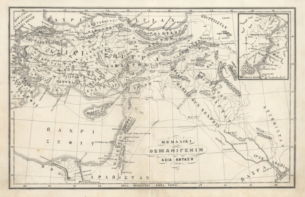
ΜΕΜΑΛΙΚΙ ΟΣΜΑΝΙΓΕΝΙΝ ΑΣΙΑ ΚΗΤΑΣΗ. / [Territories of the Ottoman Empire - Asian Possessions.]
$950.00
Acquire
- Digital Map Information
- Suitable for large format printing
- File Size: 5.46 MB
- File Type: ZIP / TIFF
- ICC color profile embedded
- Delivered instantly via download link
This is a fascinating c. 1880 map of the Asian portion of the Ottoman Empire in the Karamanli Turkish type. The map reflects the complex and contradictory trends of the late Ottoman period, in which the empire's remarkable cosmopolitanism collided with 19th-century nationalism. (more details)
Rivers and Railways in Tobacco Country.
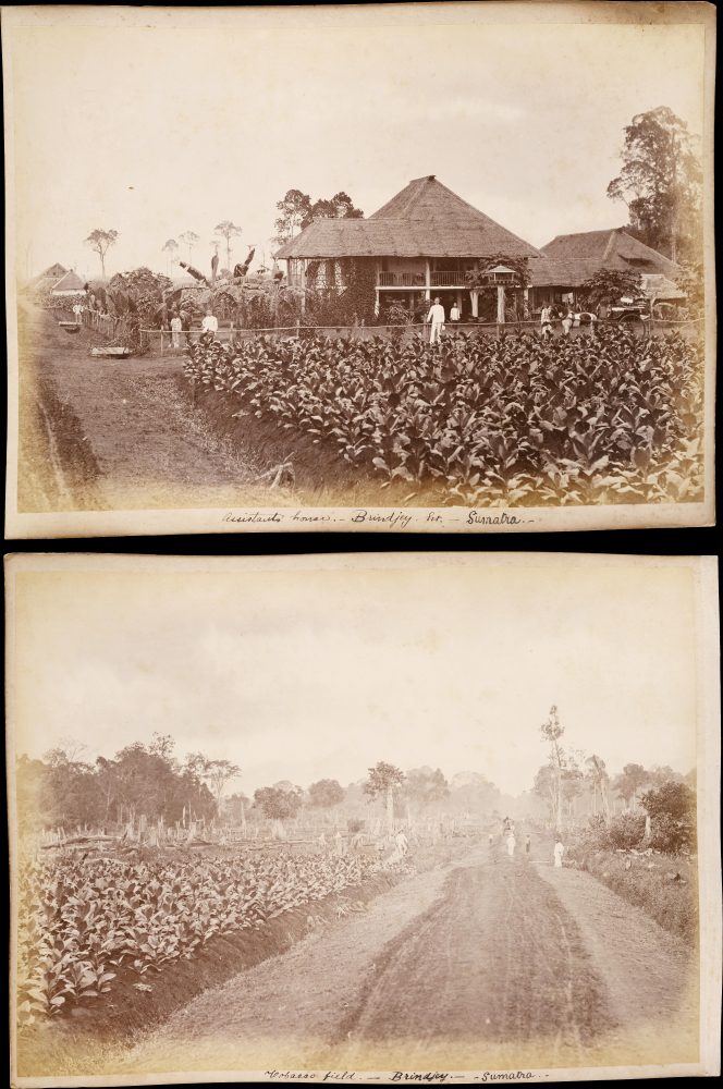
Brindjey River. - Sumatra. / Tobacco Field - Brindjey - Sumatra.
$800.00
Acquire
- Digital Map Information
- Suitable for large format printing
- File Size: 486.02 MB
- File Type: ZIP / TIFF
- ICC color profile embedded
- Delivered instantly via download link
This is a rare c. 1890 set of albumen photographs of the large Bindjey Estate tobacco plantation in North Sumatra, part of the Sultanate of Deli, a protectorate of the Dutch East Indies. Together, they provide a sense of the complex stages of the tobacco production process and the equally complex mix of nationalities at work on the plantation. (more details)
Tobacco Production on a Dutch Colonial Plantation.

Tobacco shed. - Brindjey. Est. - Sumatra / Railway Bridge over the Sunggal River - Sumatra.
$800.00
Acquire
- Digital Map Information
- Suitable for large format printing
- File Size: 16.62 MB
- File Type: ZIP / TIFF
- ICC color profile embedded
- Delivered instantly via download link
This is a rare c. 1890 set of albumen photographs of the region of Bingai, then home to vast tobacco plantations. They present scenes of river and rail travel, which were the main ways of transporting finished tobacco from plantations to ports and then to markets around the world. (more details)
Clearing Forests for Tobacco.
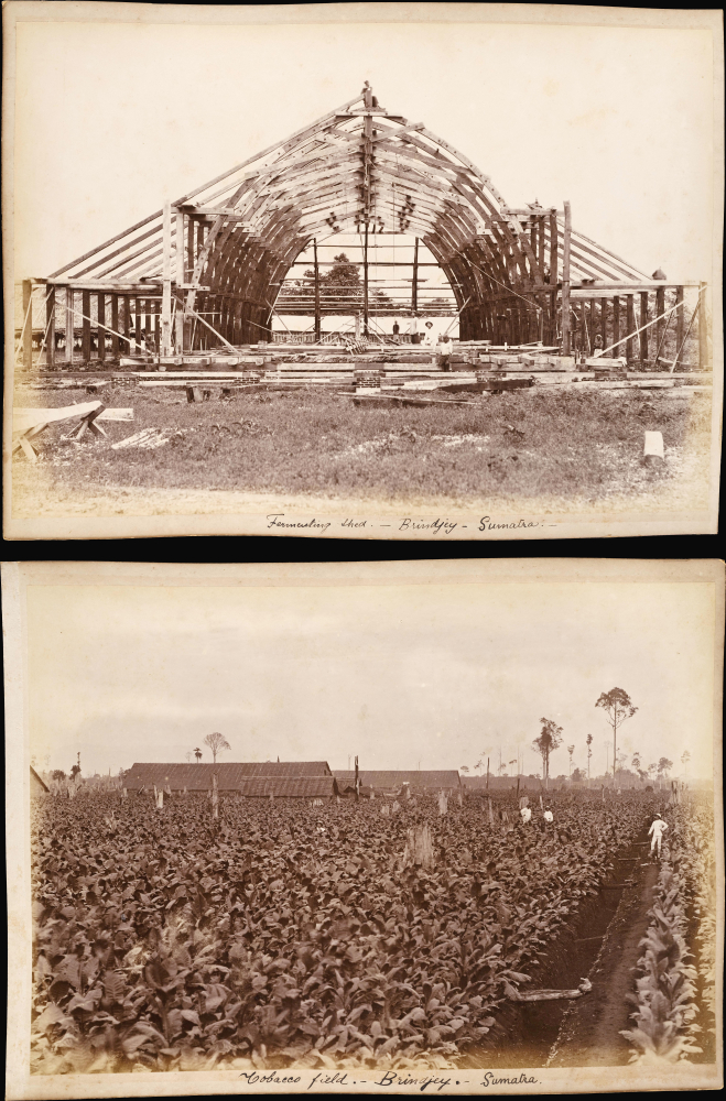
Assistants house. - Brindjey. Est. - Sumatra / Tobacco field. - Brindjey. Est. - Sumatra
$800.00
Acquire
- Digital Map Information
- Suitable for large format printing
- File Size: 15.38 MB
- File Type: ZIP / TIFF
- ICC color profile embedded
- Delivered instantly via download link
This is a rare c. 1890 set of albumen photographs of the Bindjey Estate tobacco plantation in North Sumatra. They provide a look into the inner workings of a colonial-era plantation at the turn of the 20th century. (more details)
Sea of Korea and the Pratas Islands.

The Empire of China, with its Principal Divisions; Drawn from the Surveys mad by the Jesuits: with Improvements and Additions, from the Maps of Monsr. D'Anville.
$800.00
Acquire
- Digital Map Information
- Suitable for large format printing
- Full resolution TIFF file
- ICC color profile embedded
- Delivered instantly via download link
This is a large, elegant 1823 map of China and Korea, produced by Robert Laurie. Initially published in 1775, the map features updates executed over the course of the subsequent decades. Among its notable features is the naming of the body of water between Korea and Japan as the 'Corean Sea'. (more details)
'A vast wilderness of rocks in a sea of light'.

Topographic Map of the Grand Canyon National Park Arizona (West Half). / Topographic Map of the Grand Canyon National Park Arizona (East Half).
$750.00
Acquire
- Digital Map Information
- Suitable for large format printing
- File Size: 181.53 MB
- File Type: ZIP / TIFF
- ICC color profile embedded
- Delivered instantly via download link
This is an expansive two-sheet, large-format, 1948 topographic wall map of the Grand Canyon National Park, issued by the U.S. Geological Survey. Based on surveys undertaken in the early 20th century, it captures the canyon in a period when it was transitioning from a storied but still largely inaccessible national treasure to a tourist site for the masses, aided by the completion of the Grand Canyon Railroad and early highways. (more details)
Cold War - study your enemy.
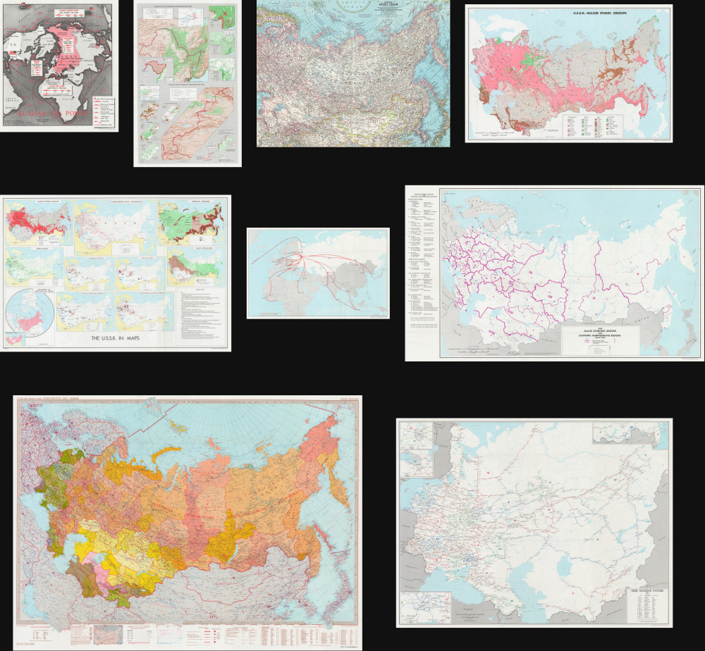
USSR: Strategic Survey; a bibliography, 1969 Edition.
$650.00
Acquire
This is a 1969 Department of the Army Cold War (1947 - 1991) dossier on Soviet Russia (U.S.S.R.) offering a bibliographic summary on topics ranging from ethnic groups to economc regions to railway and civilian aviation routes to the border wiht China (more details)
Roman-Era Egypt, as drafted by a Native Son.
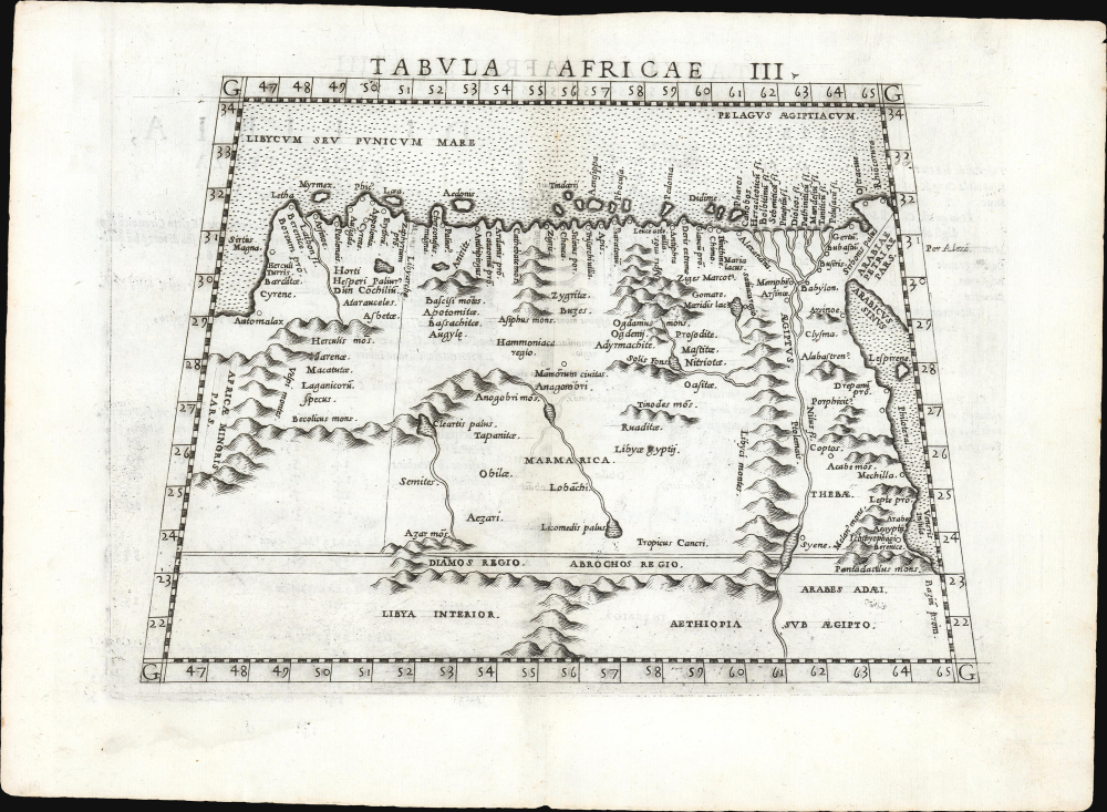
Tabula Africae III.
$600.00
Acquire
- Digital Map Information
- Suitable for large format printing
- Full resolution TIFF file
- ICC color profile embedded
- Delivered instantly via download link
This is a handsome example, in its first edition, of Girolamo Ruscelli's 1561 map of Libya and Egypt, extending to the Red Sea, based on the 2nd-century knowledge of Claudius Ptolemy. It represents the first mapping of the region based on information from someone who lived there. (more details)
Rising costs of Tampa living - explained through space travel.

Another Re-Entry Problem.
$500.00
Acquire
This is a c. 1962 or 1963 George White manuscript political cartoon that combines elements of the Space Race and concerns about the high cost of living in Florida. (more details)
First lithograph map of Central India.
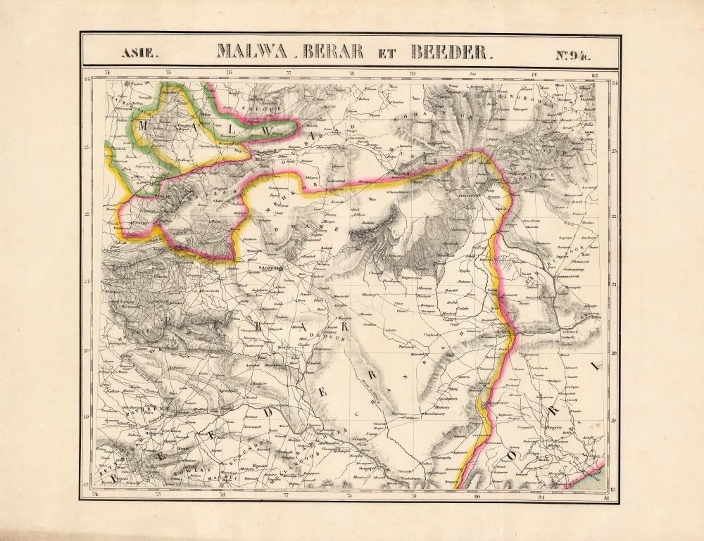
Malwa, Berar et Beeder. Asie no. 94.
$500.00
Acquire
- Digital Map Information
- Suitable for large format printing
- DPI: 600
- File Size: 66.84 MB
- File Type: ZIP / TIFF
- ICC color profile embedded
- Delivered instantly via download link
This is the 1827 Vandermaelen map of the central Indian provinces of Malwa, Berar, and Bidar. It is the first large-scale atlas map to focus on the area, and the first to be executed in lithography. It includes the cities of Bhopal (Bopaul) and Nagpur (Nagpoor), and extends as far east as the coastal province of Odisha. It extends as far north as Sagar in Madhya Pradesh and as far south as the Northern Circars of the Madras Presidency. Topography is pictorial, illustrating the mountains of the province with vigorous hachuring. Vandermaelen appears to have drawn heavily, but not universally, from the maps of Aaron Arrowsmith to inform his work here. (more details)
First scientific hydrographic survey of Bermuda.

To his Excellency Alured Popple Esq. Governour of Bermuda, or the Summer Islands This Map From a new Survey, Correcting ye Dangerous Errors in all ye Charts of that Place hitherto Published is Humbly Dedicated by C. Lempriere, and W. H. Toms, 1738.
$22,500.00
Acquire
- Digital Map Information
- Suitable for large format printing
- File Size: 20.39 MB
- File Type: ZIP / TIFF
- ICC color profile embedded
- Delivered instantly via download link
A holy grail of Bermuda map collecting, this is the 1738 first-edition first-state of Clement Lemprière's separately and independently published map of Bermuda. It is considered the first scientifically verified hydrographic survey of Bermuda and the first published map to correctly identify the archipelago's longitude. It surpassed and superseded the 17th-century Arent Roggeveen survey, thus becoming the basis for most subsequent maps of the archipelago until the Hurd surveys (1783-97). (more details)
Revealing the Virginia Colony in North America.
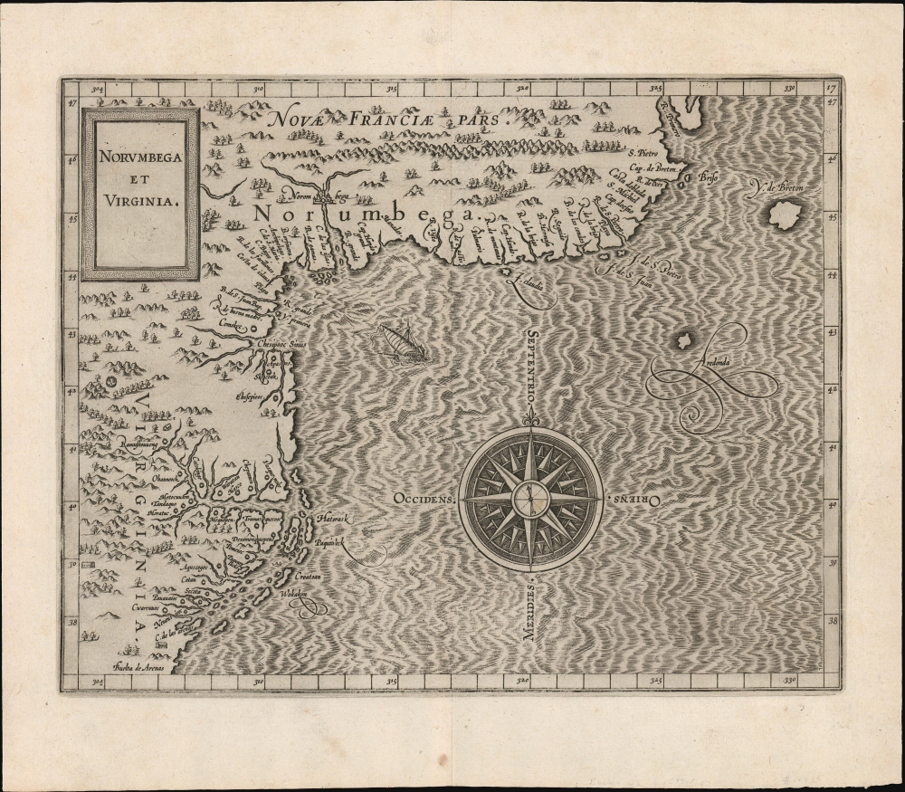
Norumbega et Virginia.
$5,500.00
Acquire
- Digital Map Information
- Suitable for large format printing
- File Size: 9.46 MB
- File Type: ZIP / TIFF
- ICC color profile embedded
- Delivered instantly via download link
A superb example of Cornelis Wytfliet's 1597 map of Virginia and the northeast part of America. The map prominently features the legendary city and land of Norumbega; at the same time, it is among the earliest acquirable maps to detail the Virginia colony, making it a superb demonstration of accuracy and error in close proximity. This map is among the earliest to show John White's cartography in Virginia. It is a foundational map for any collector of Virginia or the colonization of North America. (more details)
Calling for an Armenian State during the Armenian Genocide.
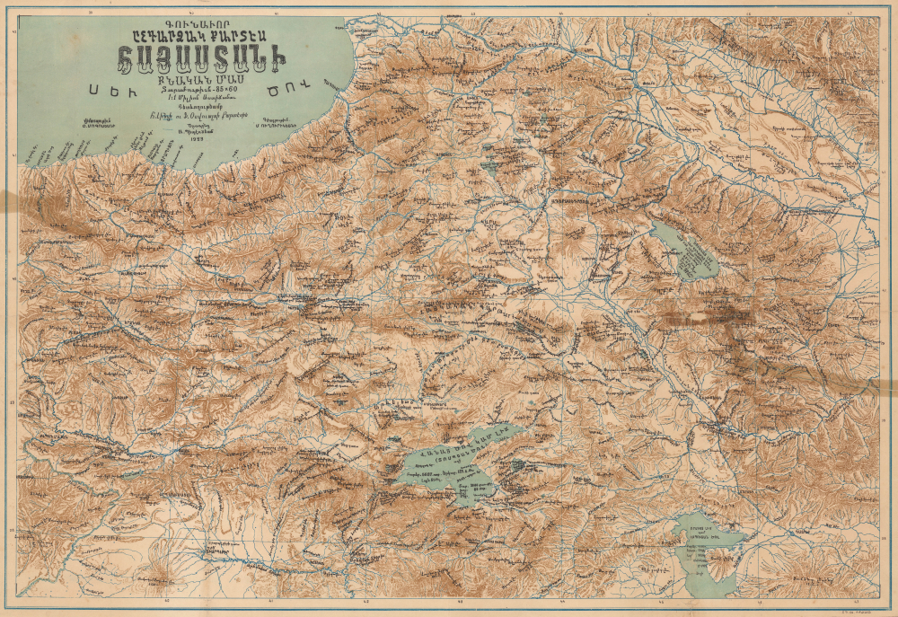
Գունավոր ընդարձակ քարտէս Հայաստանի բնական մաս. / [Colored Expanded Physical Map of Armenia.]
$5,000.00
Acquire
- Digital Map Information
- Suitable for large format printing
- File Size: 16.73 MB
- File Type: ZIP / TIFF
- ICC color profile embedded
- Delivered instantly via download link
Published in Istanbul in 1923, at the tail end of the Armenian Genocide, this remarkable chromolithograph persuasive map in the Armenian language calls for an expansive independent Armenian state. Known as 'Wilsonian Armenia', the lands mapped here roughly conform to the 1920 Treaty of Sèvres, which called for an Armenian homeland. The 'Armenian' stipulations within the treaty were never actualized. The map is almost certainly a response to the Treaty of Lausanne (1923), which effectively erased Wilsonian Armenia from the diplomatic record. Considering the context of the Armenian Genocide and open anti-Armenian sentiment in Istanbul, it is a remarkable achievement that this map was even published. (more details)
Germany's View of Britain during World War I.
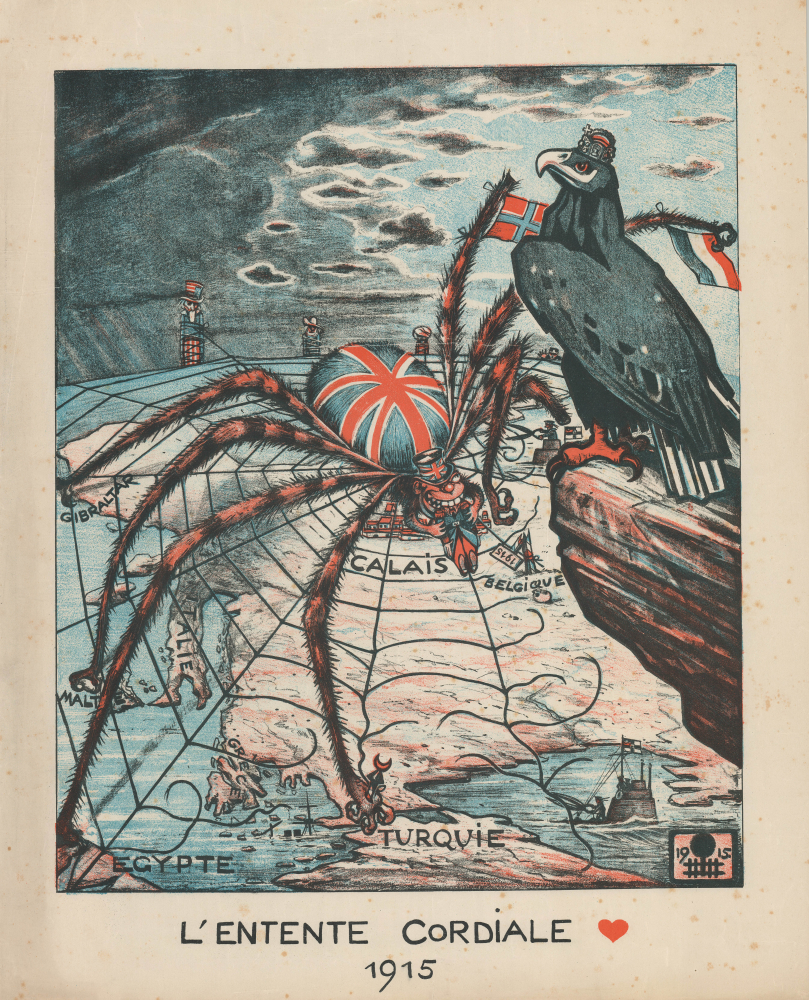
L'Entente Cordiale 1915.
$3,500.00
Acquire
- Digital Map Information
- Suitable for large format printing
- File Size: 26.44 MB
- File Type: ZIP / TIFF
- ICC color profile embedded
- Delivered instantly via download link
This is a powerful 1915 pictorial zoomorphic serio-comic map of Europe, prepared by German illustrator Eugen von Baumgarten as propaganda during World War I (1914 - 1918). It depicts Great Britain as a spider ensnaring and eating its allies, who, unwittingly, have been caught in its web. (more details)