
NEW ACQUISITIONS
China Trade.
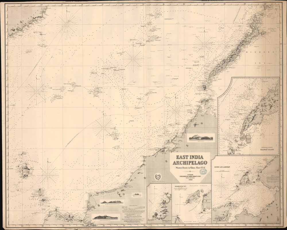
East India Archipelago [Western Route to China. Chart No. 4].
$1,200.00
Acquire
- Digital Map Information
- Suitable for large format printing
- File Size: 87.29 MB
- File Type: ZIP / TIFF
- ICC color profile embedded
- Delivered instantly via download link
This is James Imray's impressive 1869 nautical map covering parts of the South China Sea, including northwestern Borneo (Brunei, Sarawak, Sabah), Palawan (Philippines), and southeastern Vietnam. This chart, and the others in the 'Western Route to China' series, supplemented the Horsburgh cartography of the prior generation. They represent the definitive hydrographic mapping of the Far East at the height of the China Trade. (more details)
Emotive Contemporary View of the San Francisco Earthquake.
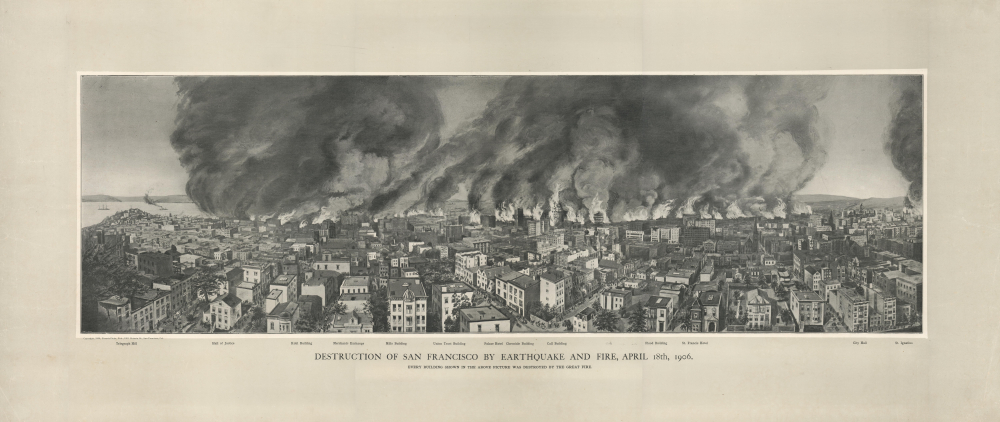
Destruction of San Francisco by Earthquake and Fire, April 18th, 1906. Every Building Shown in the Above Picture Was Destroyed by the Great Fire.
$1,200.00
Acquire
- Digital Map Information
- Suitable for large format printing
- File Size: 54.48 MB
- File Type: ZIP / TIFF
- ICC color profile embedded
- Delivered instantly via download link
A scarce 1906 Francis Ficke view of the destructive earthquake and fire that struck San Francisco on April 18, 1906. It is a first-hand record of the most destructive natural disaster in California's history. (more details)
Reasserting Baltic trade after the Russo-Swedish War.
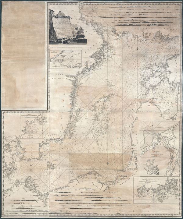
A New and Correct Chart of the Baltic from the Cattegat to Soderhamn and the entrance of the Gulf of Finland on a Mercator's Projection. Including the harbors of Riga, Carlshamn, Aus and Geffle, with Views of the principal Headlands taken from the best Swedish and Russian Surveys; and Improved by John Hamilton Moore Hydrographer and Chartseller to his Royal Highness the Duke of Clarence.
$750.00
Acquire
- Digital Map Information
- Suitable for large format printing
- DPI: 600
- File Size: 241.63 MB
- File Type: ZIP / TIFF
- ICC color profile embedded
- Delivered instantly via download link
This is a 1791 wall-sized John Hamilton Moore nautical chart or map of the Baltic Sea. This chart was issued in the wake of the Russo-Swedish War (1788-1790), which ended the year prior, during a period where regional tensions still ran high. It nonetheless benefits from the cartographic advances of that war and represents a period where regional trade was being reestablished. (more details)
Mapping the Space Shuttle Columbia's orbits during STS-3.
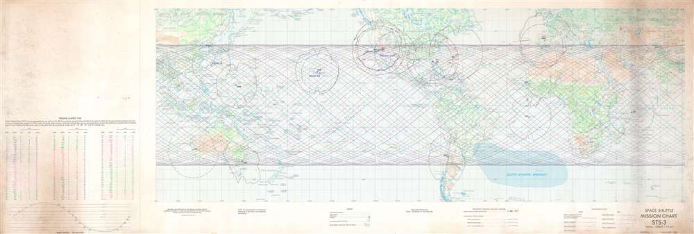
Space Shuttle Mission Chart STS-3 Front - Orbits 1 to 64. STS-3. Back - Orbits 65 to 116.
$750.00
Acquire
This is a 1982 Defense Mapping Agency map of STS-3 Space Shuttle orbits superimposed over a Mercator projection map of the world. Printed on both sides, colored lines represent each of Space Shuttle Columbia's 116 orbits during STS-3. (STS stands for Space Transport System and was the official name for the Space Shuttle program.) Orbits are divided into groups, such as Orbits 1 through 16, Orbits 17 through 32, etc., with each orbit numerically identified. Orbits 1 through 64 are illustrated on the recto and 65 through 116 are depicted on the verso. Antenna locations and call letters are identified by black or red block lettering, and solid black and/or red lines illustrate the effective range at these tracking and communication stations. (more details)
Celebrating the New Emperor.
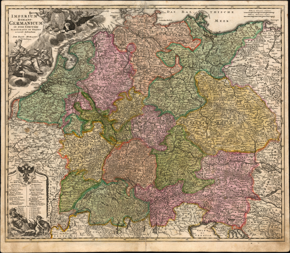
Imperium Romano-Germanicum in suos Circulos Electoratus et Status accurate distinctum a Ioh. Bapt. Homanno Norimbergae.
$750.00
Acquire
- Digital Map Information
- Suitable for large format printing
- File Size: 31.41 MB
- File Type: ZIP / TIFF
- ICC color profile embedded
- Delivered instantly via download link
This is the scarce 1707/10 first plate of Johann Baptist Homann's map of the Holy Roman Empire, produced shortly after the 1705 elevation of Joseph I as Emperor. (more details)
The record-breaking flight of the first plane to fly over 1,000 mph!
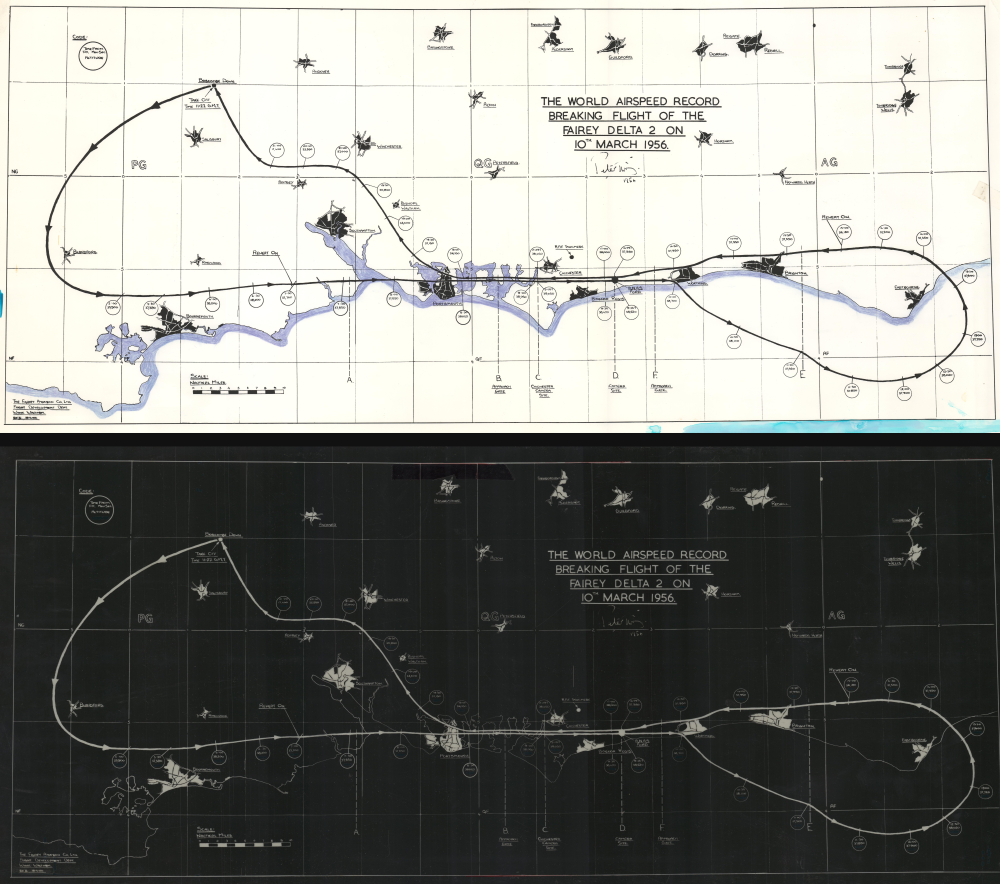
The World Airspeed Record Breaking Flight of the Fairey Delta 2 on 10th March 1956.
$600.00
Acquire
This is a set of 2 Fairey Aviation Company proof maps of the world air-speed record flight of the Fairey Delta 2 - here in their only known examples. During this flight, on October 6, 1954, the Delta 2 broke the world speed record, becoming the first aircraft to fly over 1,000 mph in level flight. (more details)
Satirizing the Sans-culottes.
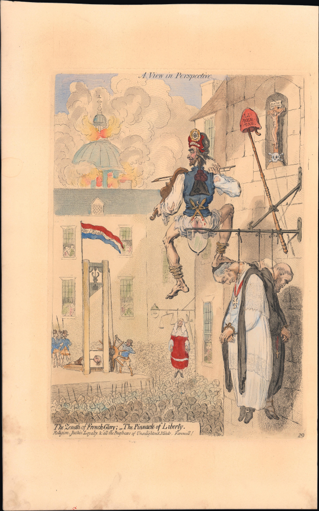
A View in Perspective / The Zenith of French Glory; The Pinnacle of Liberty. Religion, Justice, Loyalty and all the Bugbears of Unenlighten'd Minds, Farewell!
$600.00
Acquire
- Digital Map Information
- Suitable for large format printing
- File Size: 10.83 MB
- File Type: ZIP / TIFF
- ICC color profile embedded
- Delivered instantly via download link
This is a 1851 George Bohn restrike of a 1793 James Gillray satirical, scatological print dealing with the French Revolution. Characteristically unsparing in his caricatures, Gillray's depiction is, like its subject, irreverent, shocking, and disturbing. (more details)
Gillray's Irreverent Take on Amiens and Addington.
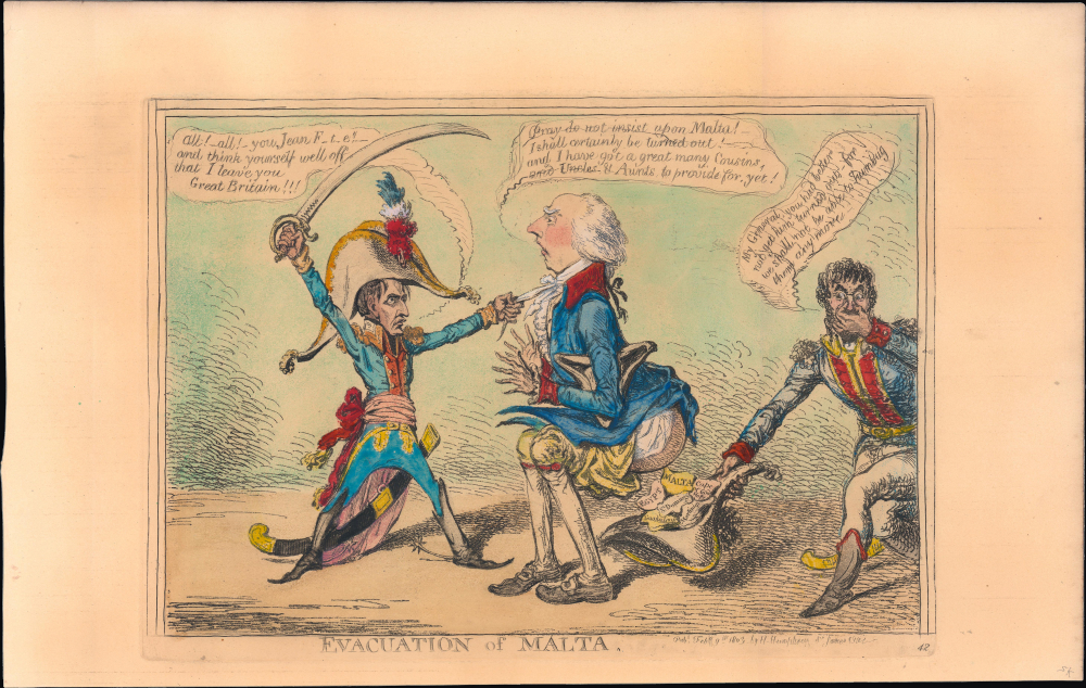
Evacuation of Malta.
$500.00
Acquire
- Digital Map Information
- Suitable for large format printing
- File Size: 11.15 MB
- File Type: ZIP / TIFF
- ICC color profile embedded
- Delivered instantly via download link
This is a 1851 George Bohn restrike of an 1803 James Gillray satirical print dealing with an Anglo-French dispute over the island of Malta. Britain reluctantly agreed to remove its troops and ships from the island according to the March 1802 Treaty of Amiens. However, as relations broke down over the following months, Malta became a rallying cry for British resistance, eventually leading to the War of the Third Coalition. (more details)
Visualizing Vietnamization.

Our New Role in Asia?
$400.00
Acquire
This is a c. 1969 Ric Hugo manuscript political cartoon of President Richard Nixon juggling three bowling pins while riding a bicycle through Southeast Asia. Hugo is satirizing Nixon's attempt to juggle multiple aspects of a serious situation while performing a stunt to distract the American people. (more details)
From Target of Racism to Tourist Destination.
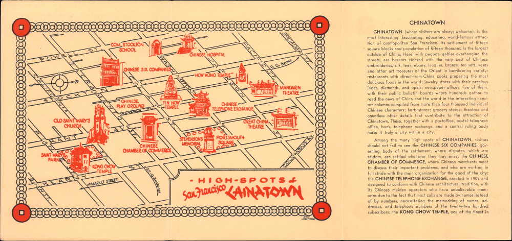
High-Spots of San Francisco Chinatown.
$250.00
Acquire
- Digital Map Information
- Suitable for large format printing
- Full resolution TIFF file
- ICC color profile embedded
- Delivered instantly via download link
This is a scarce 1937 promotional pamphlet for San Francisco's Chinatown. Geared towards tourists, it demonstrates the changing perceptions of Chinatown from a place of crime and disease to a tourist destination in the wake of the 1906 Earthquake and Fire. (more details)
Seminal map of the Trans-Mississippi, in a true 1st Edition 1st State.
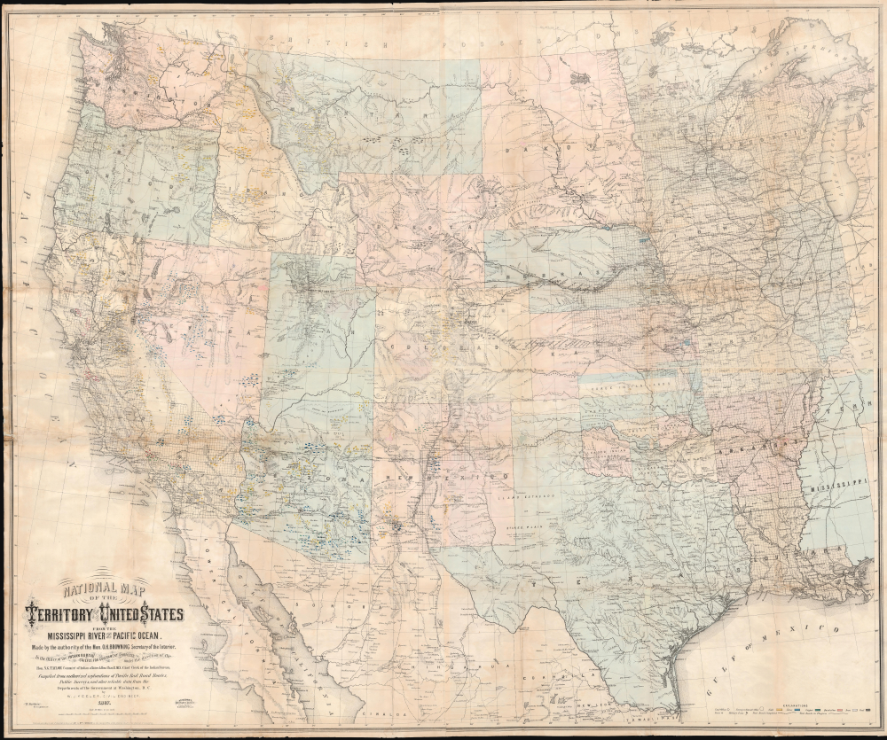
National Map of the Territory of the United States From The Mississippi River To The Pacific Ocean.
$6,500.00
Acquire
- Digital Map Information
- Suitable for large format printing
- Full resolution TIFF file
- ICC color profile embedded
- Delivered instantly via download link
An extraordinary first-edition first-state example of William J. Keeler's seminal 1867 map of the Trans-Mississippi West - considered the finest post-Civil War railroad era map of the West. This is the true first edition, without American Indian reservations, which were added in subsequent editions issued within the same year. (more details)
Most Important Map of of the Polish-Ukraine Border Kingdom.
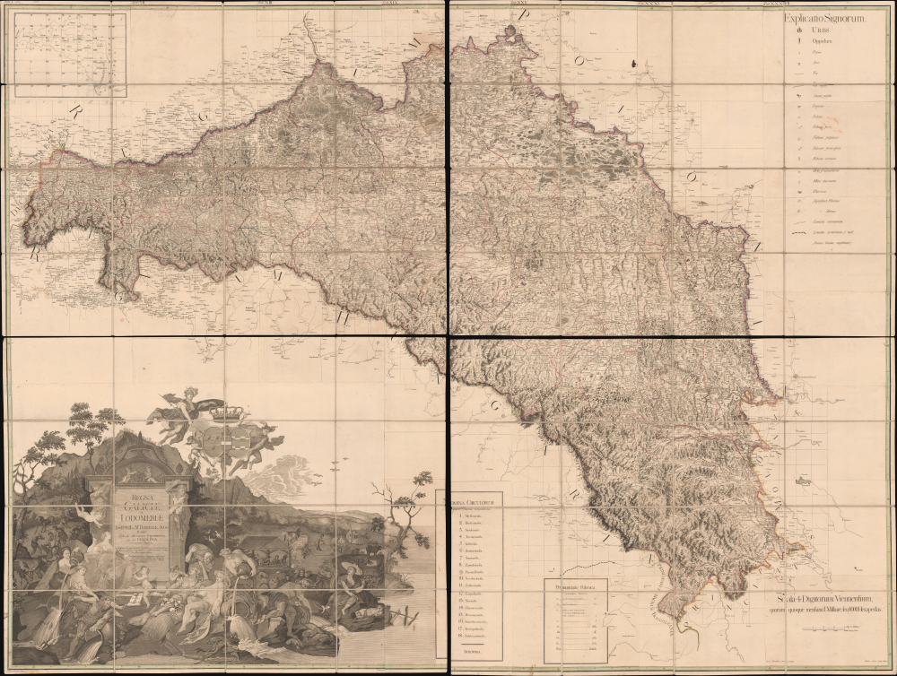
Regna Galicia, et Lodomeriae Josephi II et M. Theresiae Augg. iussu methodo astronomico-trigonometrica, nec non Bukovina geometrice dimensa...
$6,500.00
Acquire
- Digital Map Information
- Suitable for large format printing
- Full resolution TIFF file
- ICC color profile embedded
- Delivered instantly via download link
This is the 1790 first edition of Joseph Liesganig's seminal and massive map of Galicia, a territory roughly conforming to the modern border between Poland and Ukraine. The region, which had been granted to the Habsburgs in the First Partition of Poland, was virtually unmapped using modern methods before Liesganig and his team spent months preparing the present work, making it one of the most important maps of Eastern Europe of the era. (more details)
First and largest chart of Karachi as an EIC Port.
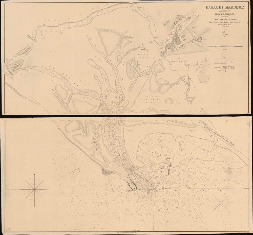
Karachi Harbour, surveyed by Lieut. A. M. Grieve, I.N. Assisted by Lieuts. Constable and Barker.
$6,000.00
Acquire
- Digital Map Information
- Suitable for large format printing
- DPI: 600
- File Size: 112.65 MB
- File Type: ZIP / TIFF
- ICC color profile embedded
- Delivered instantly via download link
A seminal 1854 large-scale Indian Navy Albany M. Grieve nautical map of Karachi Harbor, in the Sindh region of what is today Pakistan. This is the second and certainly the largest map of Karachi, and the first as an East India Company port. It was issued in the same year that marked Karachi Harbor's opening to EIC traders and the completion of the connecting Napier Mole causeway - illustrated here. (more details)
Seminal view of Quebec shortly after the French and Indian War.
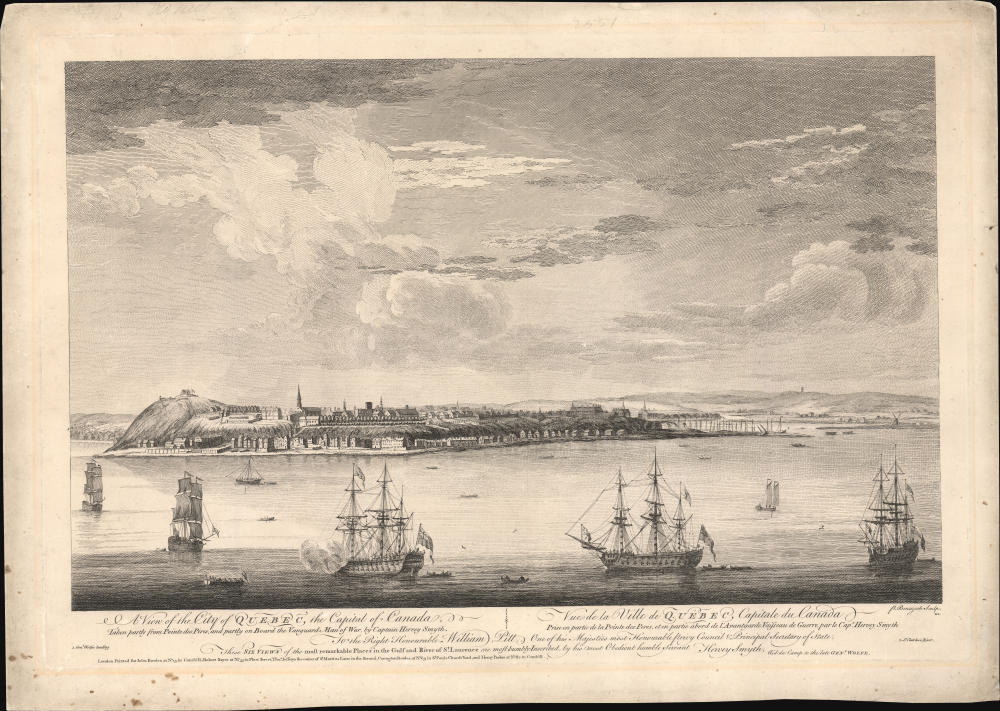
A View of the City of Quebec, the capital of Canada, taken partly from the Pointe des Peres, and partly on Board the Vanguard Man of War. / Vue de la Ville de Québec, capitale du Canada, prise en partie de la Pointe des Peres, et en partie abord de l'Avantgarde Vaisseau de Guerre.
$5,500.00
Acquire
- Digital Map Information
- Suitable for large format printing
- File Size: 25.18 MB
- File Type: ZIP / TIFF
- ICC color profile embedded
- Delivered instantly via download link
This is the rare 1868 Hervey Smyth view of Quebec City, published in 1768. It is one of the earliest obtainable views of Quebec City, offering a look at the city shortly after the French and Indian War (1754 - 1763). The view was published for the Scenographia Americana, one of the most influential and monumental pre-Revolutionary graphic works on North America. (more details)
Racing on the Mississippi.
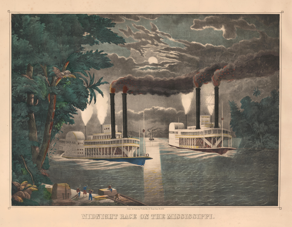
Midnight Race on the Mississippi.
$3,500.00
Acquire
- Digital Map Information
- Suitable for large format printing
- File Size: 39.32 MB
- File Type: ZIP / TIFF
- ICC color profile embedded
- Delivered instantly via download link
This is Thomas Kelly's c. 1865 large, folio hand-colored lithographic view of a nighttime steamboat race on the Mississippi River. Such races were a dangerous but popular sport in mid-19th-century America, when steamboat companies on the Mississippi and other major rivers competed for the 'fastest ride'. Some such races became famous and were recorded in many popular paintings and decorative prints by artists like Kelly, as here, and Currier and Ives. (more details)
Panorama of San Francisco's Ruins by Pioneer of Aerial Photography.
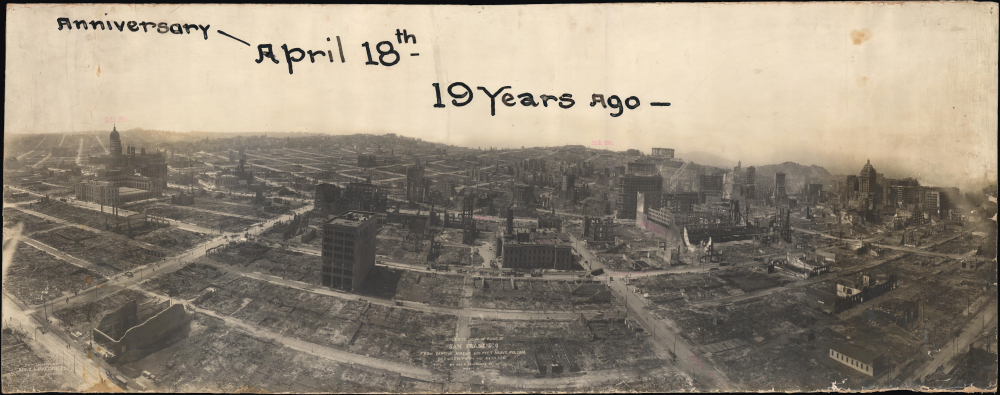
Birds-Eye View of Ruins of San Francisco from Captive Airship 600 Feet above Folsom between Fifth and Sixth Sts.
$2,400.00
Acquire
- Digital Map Information
- Suitable for large format printing
- File Size: 32.18 MB
- File Type: ZIP / TIFF
- ICC color profile embedded
- Delivered instantly via download link
This is George R. Lawrence's stunning bird's eye view panoramic photograph of San Francisco in the wake of the 1906 Earthquake and Fire. Taken less than three weeks after the event, the image captures the horrific devastation which left most of the city in ruins. (more details)
Updating the map of the West Coast.
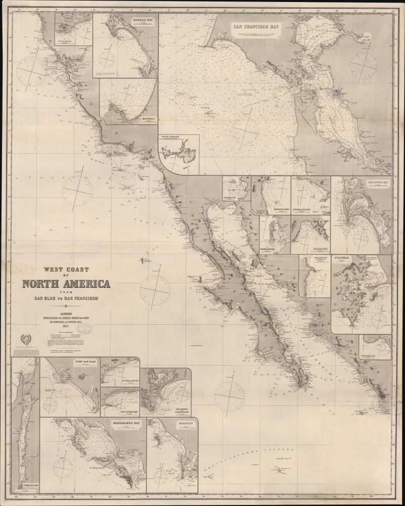
West Coast of North America from San Blas to San Francisco.
$1,900.00
Acquire
- Digital Map Information
- Suitable for large format printing
- File Size: 2178.34 MB
- File Type: ZIP / TIFF
- ICC color profile embedded
- Delivered instantly via download link
An impressive 1887 James Imray blueback nautical chart of the West Coast of America, primarily covering California from roughly San Francisco to Cabo San Lucas. (more details)
Expansion of Dahomey and the high-point of the Atlantic Slave Trade.
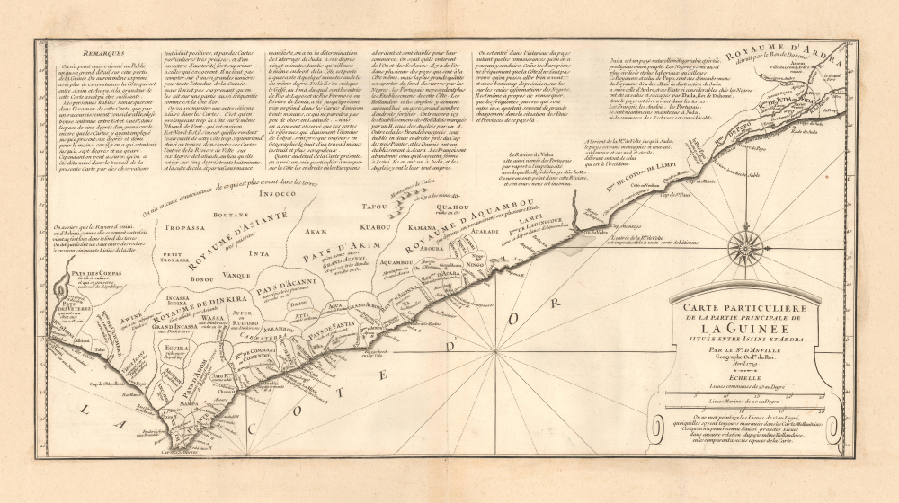
Carte Particuliere de la Partie Principale de la Guinée située entra Issini et Ardra.
$1,800.00
Acquire
- Digital Map Information
- Suitable for large format printing
- File Size: 11.05 MB
- File Type: ZIP / TIFF
- ICC color profile embedded
- Delivered instantly via download link
This is J. B. B. d'Anville's scarce, separately-issued 1729 map of 'Guinée', comprising the west African coast in what is today Ghana, Togo, and parts of Benin. Much of the region, when this map was made, was dominated by the slave-trading empire of Dahomey, which captured Whydah (here as Juda) at the eastern extreme of the map in 1729 - likely influencing the creation of this map. The capture of Whydah gave the warlike Dahomey access to European slave markets, placing them at the center of propagating the Atlantic Slave Trade. (more details)
If all you care about is here, this is a good place to be. -Emile de Becque
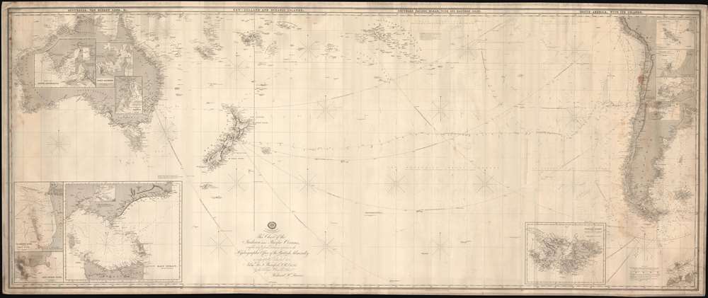
This Chart of the Indian and Pacific Oceans, compiled chiefly from Documents deposited in the Hydrographic Office of the British Admiralty is respectfully dedicated to Adm. Sir. F. Beaufort, F. R. L....
$1,800.00
Acquire
- Digital Map Information
- Suitable for large format printing
- File Size: 116.18 MB
- File Type: ZIP / TIFF
- ICC color profile embedded
- Delivered instantly via download link
An expansive and rare 1880 blueback nautical map or chart of the South Pacific by Richard Holmes Laurie. (more details)
Scatological map of England and France.
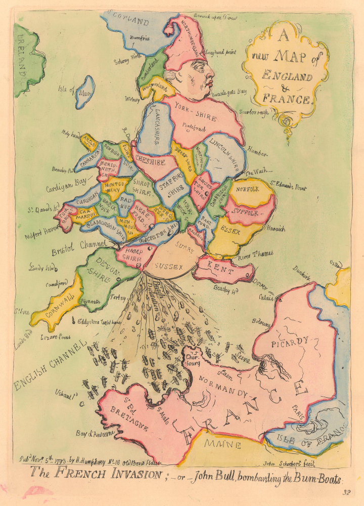
A new Map of England and France. / The French Invasion; or John Bull, bombarding the Bum-Boats.
$1,500.00
Acquire
- Digital Map Information
- Suitable for large format printing
- File Size: 5.86 MB
- File Type: ZIP / TIFF
- ICC color profile embedded
- Delivered instantly via download link
A wonderful example of the 1851 George Bohn restrike of James Gillray's 1793 satirical caricature map of England expelling itself on France. (more details)