
NEW ACQUISITIONS
Source of a cartographic feud.
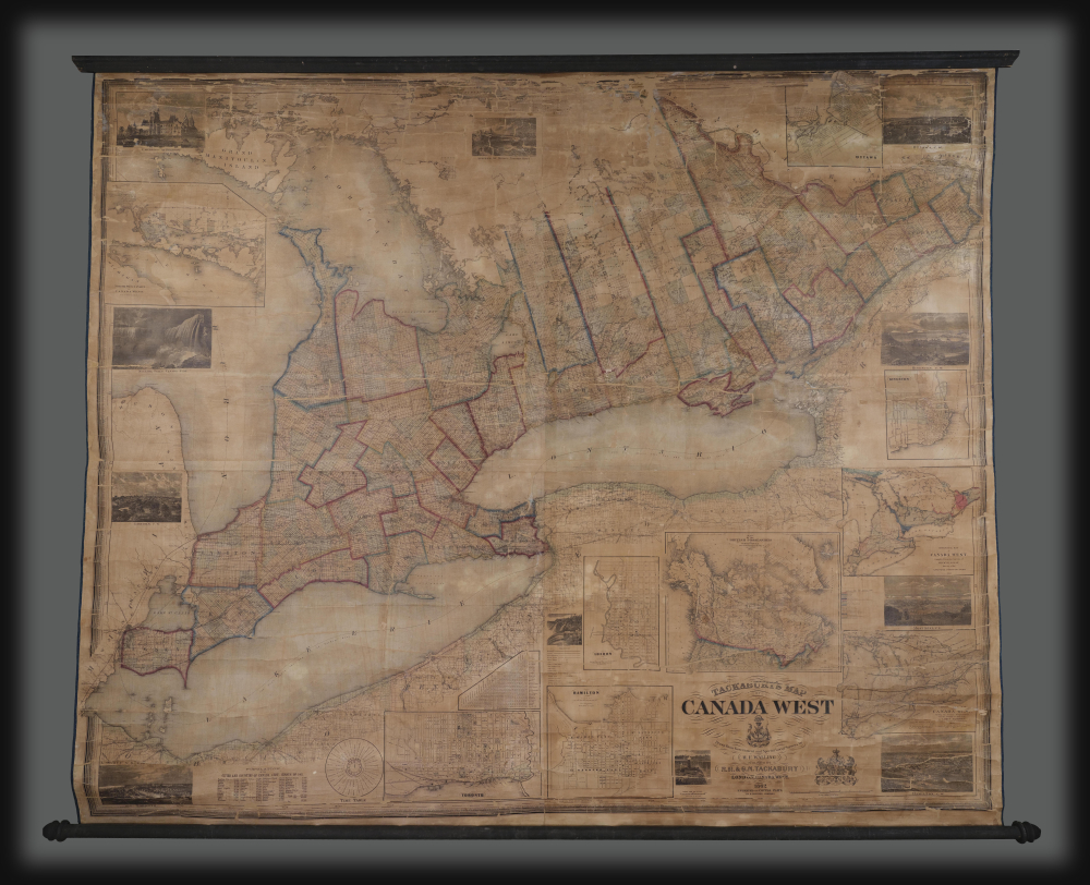
Tackabury's Map of Canada West, drawn from Government and special Local Surveys by H.F. Walling.
$4,500.00
Acquire
This is Henry Francis Walling's very large-format 1862 wall map of Canada West (formerly Upper Canada and subsequently Ontario), published by Robert M. Tackabury and George N. Tackabury. In addition to its size and magnificent level of detail, it is also significant for capturing this region in a period of political and social transformation, driven by railways, immigration, and moves towards greater political union and autonomy. (more details)
Reconstruction-era New Orleans.
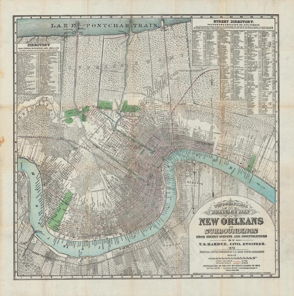
Topographical and drainage map of New Orleans and surroundings, from recent surveys and investigations.
$4,000.00
Acquire
- Digital Map Information
- Suitable for large format printing
- File Size: 36.39 MB
- File Type: ZIP / TIFF
- ICC color profile embedded
- Delivered instantly via download link
A detailed 1878 city plan or map of New Orleans and surrounding communities by civil engineer and city surveyor Thomas Sydenham Hardee. It is considered the most accurate map of the city to that date. While including comprehensive information on the city's streets, parks, railways, and more, it also focuses on the system of waterways, canals, and levees designed to prevent flooding and disease. (more details)
First city in Germany captured by the Allies.
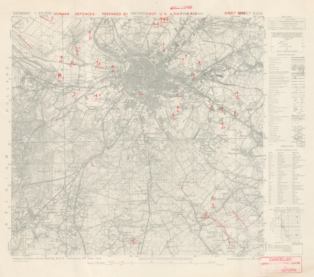
Aachen. German Defences Prepared by First U.S. Army APID. Sheet 5202.
$3,500.00
Acquire
- Digital Map Information
- Suitable for large format printing
- File Size: 21.43 MB
- File Type: ZIP / TIFF
- ICC color profile embedded
- Delivered instantly via download link
This is an October 1944 First U.S. Army military situation map of Aachen, Germany, illustrating the defenses around the city as observed from aerial photography. This map was produced only days before the soldiers of the U.S. Army stormed the city and, after three weeks, successfully captured the city from the Germans. Aachen was a strategically important city, but it held greater significance from a psychological perspective. The Holy Roman Emperor Charlemagne was born in Aachen, and Hitler and the Nazis referred to the Holy Roman Emperor as the First Reich. (Hitler referred to his empire as the Third Reich, thus creating a direct line between his regime and the Holy Roman Empire.) Aachen was the first city in Germany captured by the Allies, and this blow must have weighed heavily on Hitler's mind. (more details)
Inset of Boston - first map of an English colonial city on a non-English map.
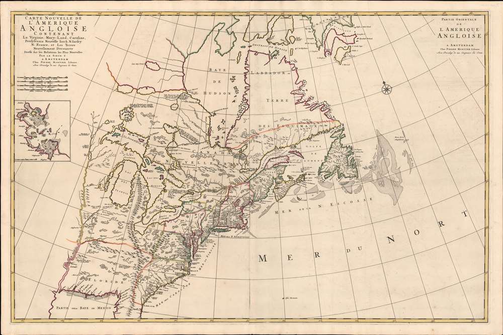
Carte Nouvelle De L'Amerique Angloise Contenant La Virginie, Maryland, Caroline, Pensylvania, Nouvelle Iorck, N. Iarsey, N.France, Et Les Terres Nouvellement Decouverte...
$3,200.00
Acquire
- Digital Map Information
- Suitable for large format printing
- Full resolution TIFF file
- ICC color profile embedded
- Delivered instantly via download link
An impressive large-scale Pierre Mortier 1700 map of the British Colonies in North America. The map features an important inset of Boston - the first map of a British colonial city on a non-British map (Burden). It was issued to capitalize on popular interest in King William's War (1689 - 1697). (more details)
The Route to the East Indies.
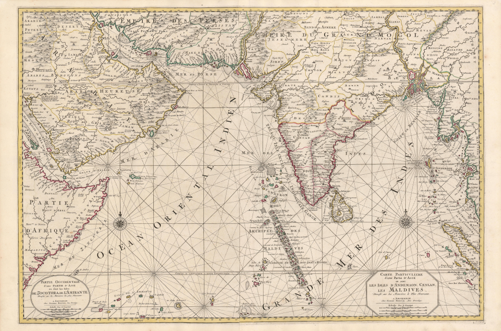
Carte Particuliere d'une Partie d'Asie ou sont Les Isles D'Andemaon, Ceylan, Les Maldives.../ Partie Occidentale d'une D'Asie ou sont les Isles De Zocotora De l'Amirante...
$2,800.00
Acquire
- Digital Map Information
- Suitable for large format printing
- DPI: 600
- File Size: 116.25 MB
- File Type: ZIP / TIFF
- ICC color profile embedded
- Delivered instantly via download link
This is a superb, original-color example of Pierre Mortier's 1700 chart and map of the Indian Ocean. This grand, two-sheet engraving also maps the surrounding lands of eastern Africa, Arabia, Persia, India, and the Malay Peninsula. Countless islands are mapped, including the Maldives, Sri Lanka, and Sumatra. As indicated by the presence of two separate cartouches, the two sheets could also be had as separate works; however, in Mortier's mammoth Neptune François they were frequently bound joined, as here. (more details)
Hippest place on Earth!
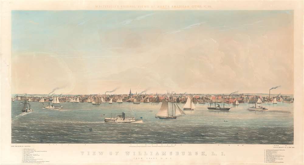
View of Williamsburgh, L. I., from Grand St. N.Y. / Whitefield's Original Views of North American Cities, No. 26.
$2,500.00
Acquire
- Digital Map Information
- Suitable for large format printing
- Full resolution TIFF file
- ICC color profile embedded
- Delivered instantly via download link
A beautiful and rare low oblique chromolithograph city view of Williamsburg, Brooklyn, in 1852, by the English-American artist Edwin Whitefield. When this view was issued, Williamsburg was an independent city, separate from the adjacent cities of Brooklyn and Bushwick. Williamsburg, Greenpoint, and Bushwick were annexed into Brooklyn in 1854, two years after this view was drawn, turning Brooklyn into the second largest city in the United States, after neighboring New York. (more details)
Controversial eyewitness to the final moments of The Red Baron.
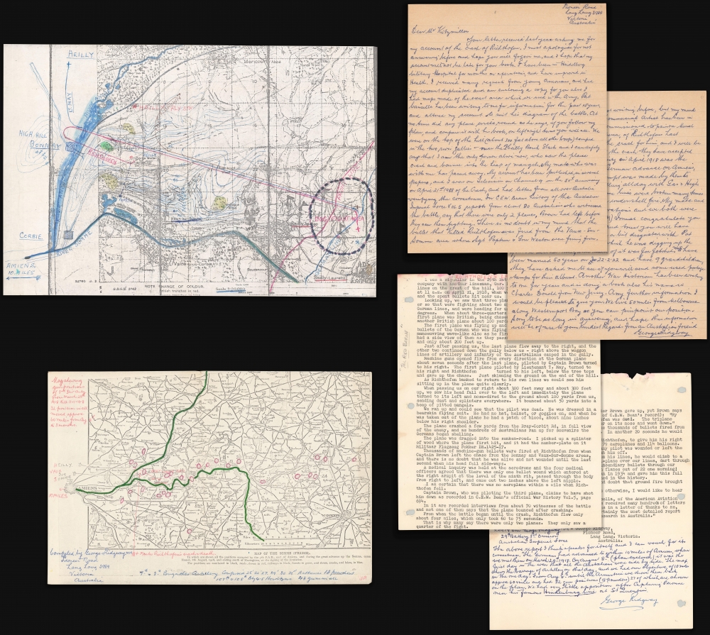
['Red Baron' Manfred von Richthofen Archive].
$2,500.00
Acquire
This is a c. 1970 archive by gunner George Ridgway detailing his eyewitness account of the World War I (1914 - 1918) downing of the 'Red Baron' Manfred von Richthofen (1892 - 1918), the 'ace-of-aces' and perhaps the world's most famous fighter pilot. (more details)
Exceptional large-format wartime Japanese map of the Philippines.
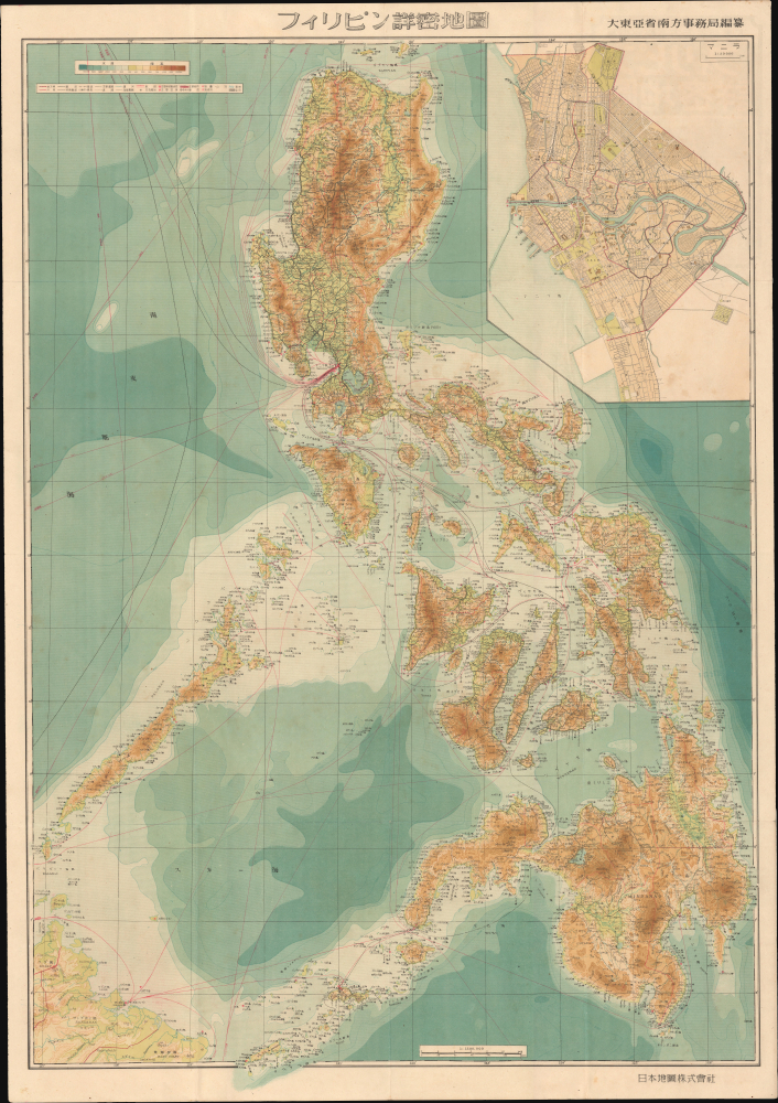
フィリピン詳密地圖 / Detailed Map of the Philippines. / Firipin shomitsu chizu.
$2,400.00
Acquire
- Digital Map Information
- Suitable for large format printing
- Full resolution TIFF file
- ICC color profile embedded
- Delivered instantly via download link
This is Kawamata Tetsuya's rare 1944 (Showa 19) Japanese large-format map of the Philippines, issued just 5 days after the WWII Philippines Campaign (1944 - 1945) began. The map is an expansion on a similar map issued for the 1942-43 'Greater East Asia Co-Prosperity Sphere' map series, which it stylistically resembles despite being four times the size. (See our listing coprosperityset-showa18-1943 for more detail on this series.) This map was issued to satisfy an increased Japanese need for information and reconnaissance following General Douglas MacArthur's landing at Leyte. (more details)
Rare, Detailed Corfu.
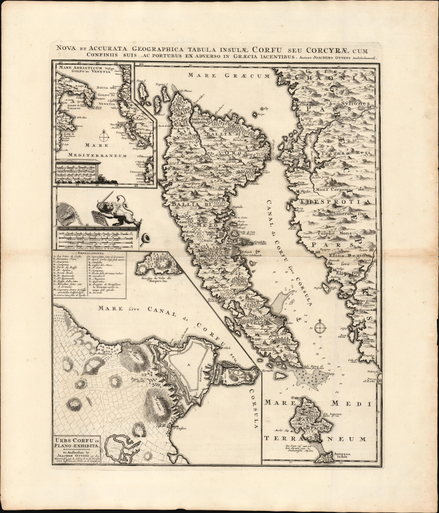
Nova et Accurata Geographica Tabula Insulae Corfu seu Corcyrae cum Confinis suis ac Portubus ex Adverso in Graecia Iacentibus. Auctore Joachimo Ottens Amstelodami.
$1,750.00
Acquire
- Digital Map Information
- Suitable for large format printing
- File Size: 25.62 MB
- File Type: ZIP / TIFF
- ICC color profile embedded
- Delivered instantly via download link
This is Joachim Ottens' rare, beautiful 1717 map of Corfu. It was published in the wake of the famous 1716 Siege of Corfu; the victory is alluded to with the decorative element of the Venetian Lion of Saint Mark, sword upraised while kicking aside an Ottoman scimitar and turban. Ottens' map proved the canonical mapping of Corfu for the rest of the century. (more details)
Inter-imperial Struggle on the Mongolian Grasslands.
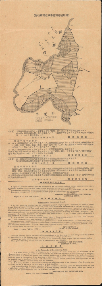
海拉爾附近軍事特別地域地圖 / [Map of the Special Military Area near Hailar].
$1,600.00
Acquire
- Digital Map Information
- Suitable for large format printing
- File Size: 8.67 MB
- File Type: ZIP / TIFF
- ICC color profile embedded
- Delivered instantly via download link
This is a rare and likely unique 1936 broadside of the area around Hulunbuir in Inner Mongolia, issued by the Imperial Japanese Kwantung Army restricting passengers from photographing or even looking outside their windows at key points along the China Eastern Railway. The map was issued in the lead-up to the Second Sino-Japanese War (1937 - 1945) as Japan and the Soviet Union / Mongolian People's Republic were jockeying for position in the area, ancillary to the growing conflict between Japan and China, and antecedent to the wider global conflict of World War II (1939 - 1945). (more details)
Failing to discover the Northwest Passage.
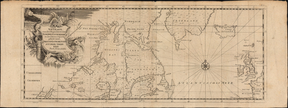
Neue Karte von den Gegenden wo eine Nordwest Durchfahrt in den Iahren 1746-1747...
$850.00
Acquire
- Digital Map Information
- Suitable for large format printing
- File Size: 8.62 MB
- File Type: ZIP / TIFF
- ICC color profile embedded
- Delivered instantly via download link
This is a rare, German edition of Henry Ellis' A New Chart of the Parts where a Northwest Passage was Sought in the Years 1746 and 1747. This map was included translations of Ellis' A Voyage to Hudson's - Bay, which chronicled his journey - largely on behalf of Arthur Dobbs - to northern and Maritime Canada to discover the Northwest Passage, which Dobbs believed had been kept hidden by the machinations of the Hudson's Bay Company. (more details)
Visit Cape Cod!
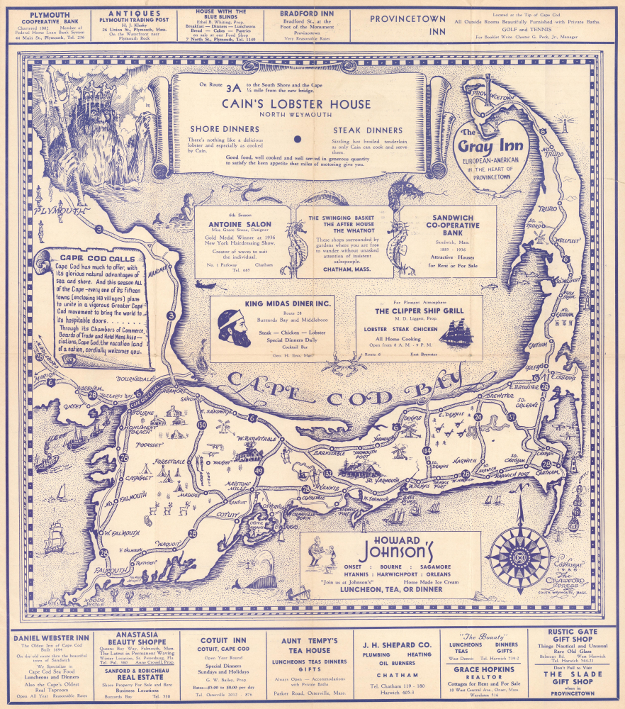
Historical Map of Cape Cod.
$800.00
Acquire
- Digital Map Information
- Suitable for large format printing
- Full resolution TIFF file
- ICC color profile embedded
- Delivered instantly via download link
This is a 1936 Crawford Press pictorial tourist map of Cape Cod, Massachusetts. The map celebrates the iconic villages and sights of Cape Cod and promotes some of the region's many businesses. (more details)
Seeking Rubber Fortunes along the Amazon.
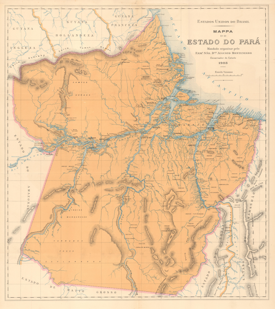
Mappa do Estado do Pará.
$800.00
Acquire
- Digital Map Information
- Suitable for large format printing
- File Size: 34.9 MB
- File Type: ZIP / TIFF
- ICC color profile embedded
- Delivered instantly via download link
This is a large-format 1908 map of the State of Pará, Brazil, produced for the book Album do estado do Pará. The map and book were supported by Governor Augusto Montenegro, a modernizer who sought foreign investment in the state, especially in its burgeoning rubber industry. (more details)
Frontier of Europe and the Ottoman Empire.
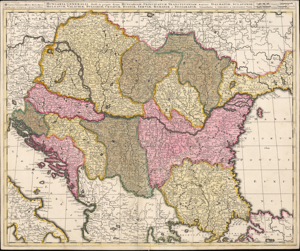
Hungaria Generalis, divisa in proprie dictam Hungariam, Principatum Transylvaniam, Regiones Dalmatiae, Sclavoniae, Moldaviae, Valachiae, Bulgariae, Croatiae, Bosniae, Serviae, Romaniae et Bessarabiae.
$750.00
Acquire
- Digital Map Information
- Suitable for large format printing
- File Size: 24.44 MB
- File Type: ZIP / TIFF
- ICC color profile embedded
- Delivered instantly via download link
This is a beautiful, contemporary-color example of Gerard and Leonard Valk's c. 1705 map of the lands surrounding the course of the Danube, extending from Vienna to the Black Sea. The map encompasses the perennial seat of war between Christian European powers and the Turkish Empire. (more details)
Development of West Jerusalem.
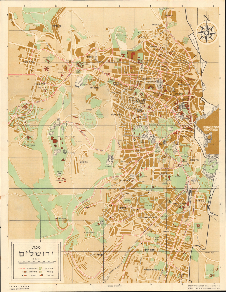
מפת ירושלים / [Map of Jerusalem].
$600.00
Acquire
This is a 1958 Hebrew-language pictorial map of West Jerusalem, prepared by the Jerusalem Institute of Photogrammetry. Intended to highlight the city's bus lines, it also serves as a reminder of the ad hoc boundaries that divided the city in the wake of the First Arab-Israeli War. (more details)
Waning Days of Pan-Arabism.
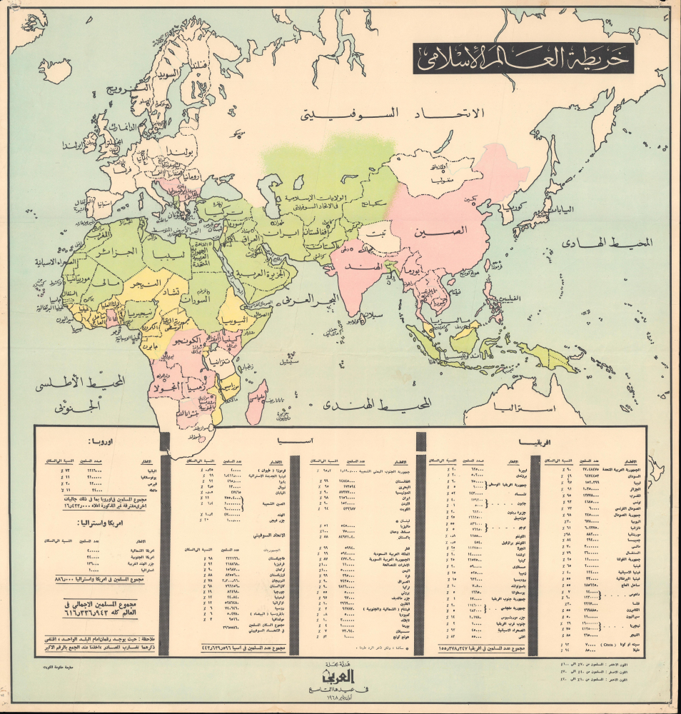
خريطة العالم الاسلامى / [Map of the Islamic World].
$600.00
Acquire
This is an Arabic-language map of Afro-Eurasia prepared and published in 1968 as a special supplement to al-Arabi magazine. Providing comprehensive statistics and information on the Muslim World, the map was issued to celebrate the magazine's 9th anniversary and support Pan-Arabism during the post-colonial era marked by the political dissolution of the United Arab Republic. (more details)
Heady History of San Jose and Silicon Valley.
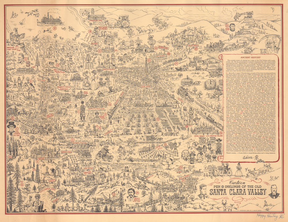
Cartoon Pen and Inklings of the Old Santa Clara Valley.
$250.00
Acquire
This is a lively 1962 F. Ralph Rambo pictorial historical view of the Santa Clara Valley, including San Jose, the southern portion of the San Francisco Peninsula, and much of today's Silicon Valley. Recounting numerous incidents and characters from local history, the view is characteristic of Rambo's style, and is accentuated by the maker's signature at the bottom-right. (more details)
Hottest Place on Earth.
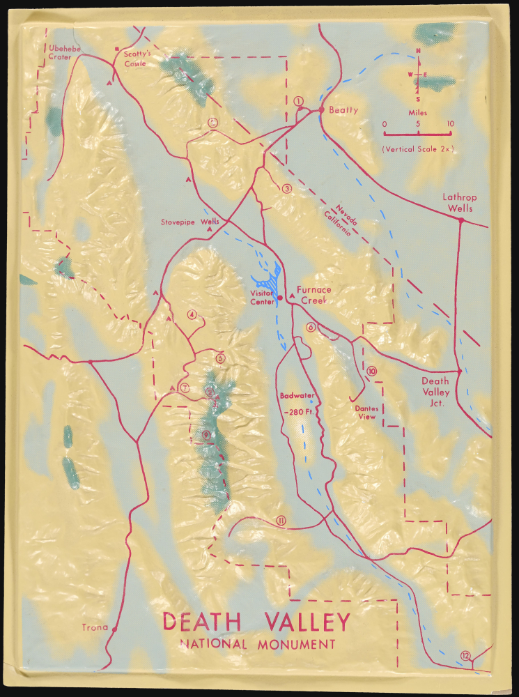
Death Valley National Monument.
$250.00
Acquire
This is an unusual c. 1968 three-dimensional raised relief model of Death Valley National Monument (now a national park) along the California-Nevada border. It demonstrates the uniquely dramatic and harsh terrain of the region, where extreme temperatures at its lowest points (well below sea level) have led it to be dubbed 'the hottest place on earth.' (more details)
Largest Trees on Earth.
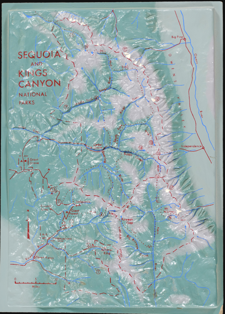
Sequoia and Kings Canyon National Parks.
$250.00
Acquire
This is an unusual c. 1968 three-dimensional raised relief model of Sequoia and Kings Canyon National Parks in California. It highlights the stunning landscape and steep topography of the region, from the foothills of the Sierra Nevada (below 1,000 feet above sea level) to the peak of Mt. Whitney, at roughly 14,500 feet. (more details)
Promoting the Sunset Islands.
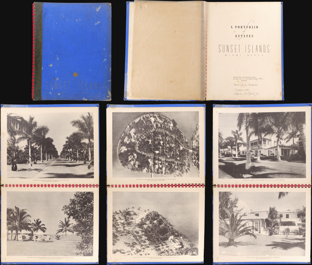
Sunset Islands, Miami Beach: A Portfolio of Estates.
$2,500.00
Acquire
This is a 1938 Sunset Island Company and Stephen A. Lynch Jr. pictorial portfolio of the Sunset Islands, Miami Beach, Florida. The promotional volume was published in a limited edition for Sunset Islands property owners and prospective owners. The present example, signed by Lynch and Mobley, was presented to the business mogul and philanthropist Joseph John Fretwell (1850 - 1938). The 50-page spiral-bound volume features photographs of fabulous Sunset Islands estates. (more details)