
Big Oil Mid-century.

The Spheres of Operation of the Royal Dutch / Shell Group of Companies.
sold
- Digital Map Information
- Suitable for large format printing
- File Size: 62.71 MB
- File Type: ZIP / TIFF
- ICC color profile embedded
- Delivered instantly via download link
This is a 1949 Royal Dutch Shell map of the world, offering insight into the global reach of big oil in the mid-20th century. (more details)
Air Mail in the Golden Age of Air Travel.
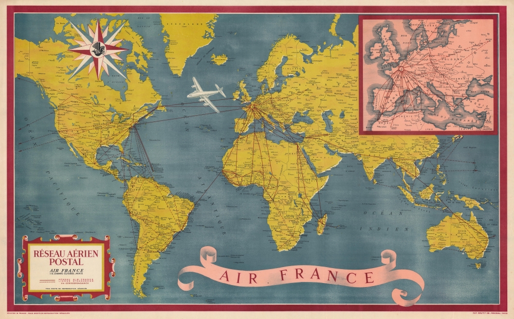
Réseau Aérien Postal.
sold
- Digital Map Information
- Suitable for large format printing
- File Size: 127.04 MB
- File Type: ZIP / TIFF
- ICC color profile embedded
- Delivered instantly via download link
A visually striking piece highlighting the constant expansion of aviation in the years following World War II, this is a 1948 Air France map of the world and its air mail routes. Because of the incredible advances made in aviation technology during the war, air mail and passenger airline travel experienced incredible gains in the postwar world. (more details)
Battle for the Heart of Europe.
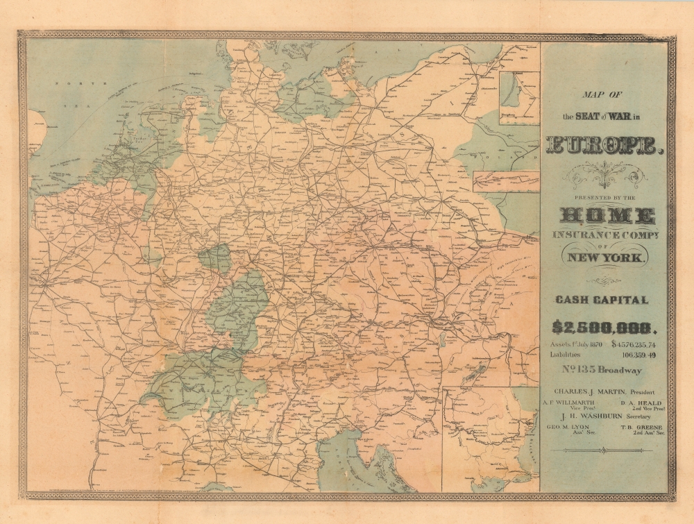
Map of the Seat of the War in Europe.
sold
- Digital Map Information
- Suitable for large format printing
- File Size: 62.39 MB
- File Type: ZIP / TIFF
- ICC color profile embedded
- Delivered instantly via download link
A scarce, unrecorded 1866 map by publisher Joseph H. Higginson produced for the Home Insurance Company of New York during the Austro-Prussian War. It was issued as a means of reassurance to clients that their assets would be safe despite turbulent global events. (more details)
Driving Back the Fascist Invaders.

Битва за Днепр / [Battle of the Dnieper].
sold
A rare and visually impressive piece of persuasive cartography and war commemoration, this 1973 map by the Soviet Union's Main Administration of Geodesy and Cartography covers the 1943 Battle of Dnieper (Dnipro), when the southern portion of the eponymous river, including Kiev (Kyiv), was recaptured by the Red Army. (more details)
The Atlantic Coast of Northern New England.
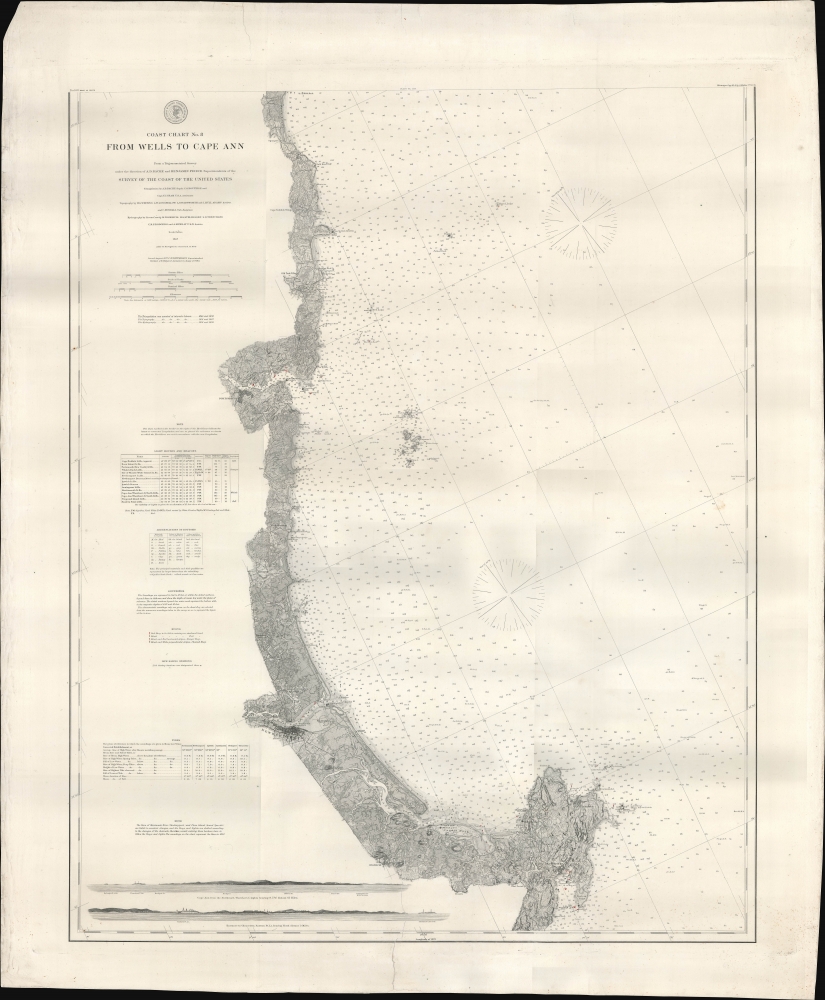
Coast Chart No. 8 From Wells to Cape Ann.
$600.00
Acquire
- Digital Map Information
- Suitable for large format printing
- File Size: 40.81 MB
- File Type: ZIP / TIFF
- ICC color profile embedded
- Delivered instantly via download link
A remarkably detailed nautical map or chart originally produced by the U.S. Coast Survey in 1867, updated to 1878, of the Atlantic coast of New England from Wells and Ogunquit in Maine to Gloucester on Cape Ann, Massachusetts. (more details)
Foundation of the City.
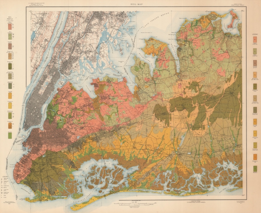
Soil Map New York Hempstead Sheet.
sold
- Digital Map Information
- Suitable for large format printing
- File Size: 156.53 MB
- File Type: ZIP / TIFF
- ICC color profile embedded
- Delivered instantly via download link
A colorful 1903 soil map of New York City and Nassau County, produced by the Bureau of Soils. It provides tremendous detail on the lands in and around the city, crucial information in the fact of break-neck urban development and industrialization. (more details)
Over 100 different trees and plants!
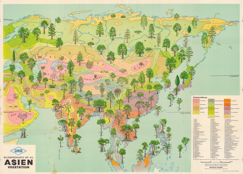
Asien Vegetation. Bildwandkarte Nr. 913.
$500.00
Acquire
This is a c. 1959 JRO pictorial map of Asia highlighting the continent's diverse vegetation. Over 100 species of trees, bushes, and other plants inhabit every region and environment across Asia. (more details)
A Great Guide to the Gulf.
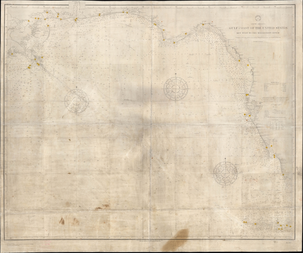
North America Gulf Coast of the United States Key West to the Mississippi River.
sold
- Digital Map Information
- Suitable for large format printing
- File Size: 44.69 MB
- File Type: ZIP / TIFF
- ICC color profile embedded
- Delivered instantly via download link
A scarce and impressive chart or nautical map of the U.S. coast of the Gulf of Mexico from the Mississippi River to the Florida Keys, originally produced by the U.S. Navy Hydrographic Office in 1889 and updated to 1908. It reflects improvements in hydrography and bathymetry, noting fathoms to a considerable depth in open ocean, as well as the development of the coast itself, with a proliferation of lighthouses. Moreover, it manifests several handwritten annotations and wear consistent with extensive use at sea. (more details)
The American army taking over for the French in Vietnam.
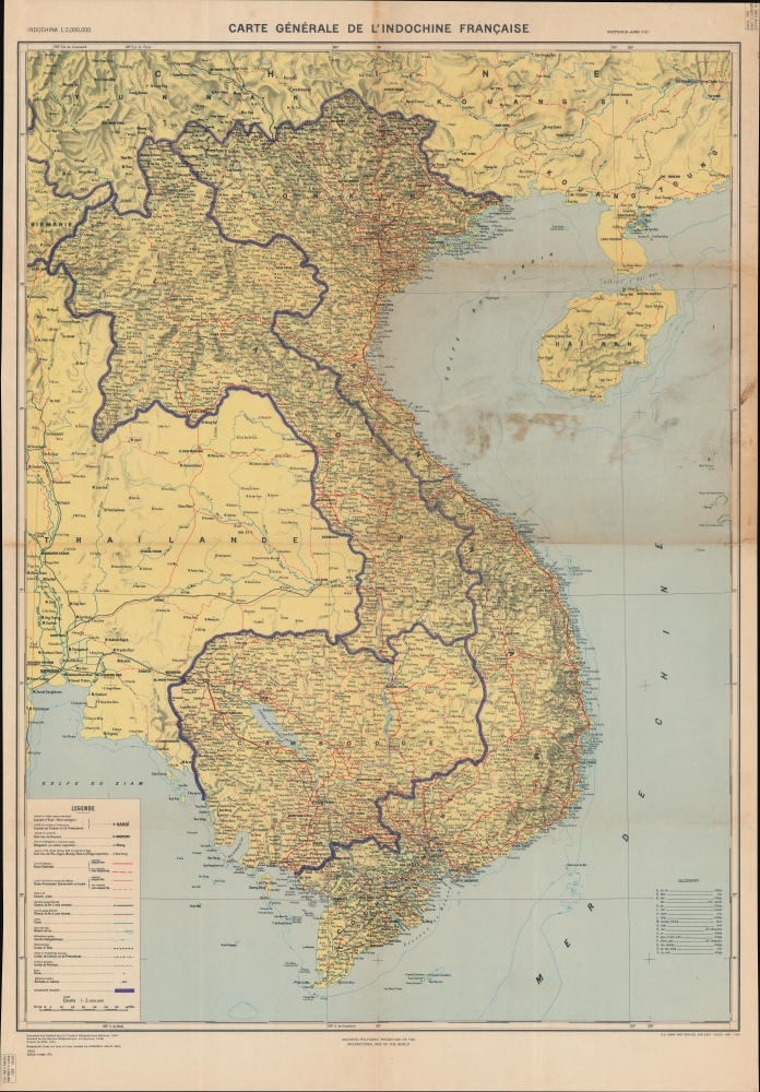
Carte Générale de l'Indochine Française.
sold
Encapsulating decades of warfare in Southeast Asia, this is a U.S. Army Map Service Far East map of French Indochina. Originally created by the French soon after the reoccupation of Vietnam following World War II, this map's evolution (see Publication History below) traces Western involvement in Vietnam, where the American army took over after the French defeat. (more details)
The site of the first naval engagement of the Seven Years' War.
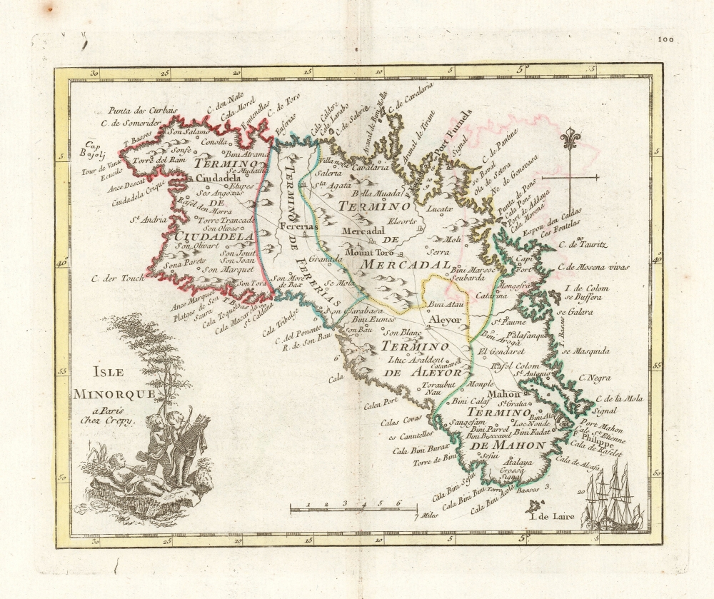
Isle Minorque a paris Chez Crepy.
sold
- Digital Map Information
- Suitable for large format printing
- DPI: 600
- File Size: 9.31 MB
- File Type: ZIP / TIFF
- ICC color profile embedded
- Delivered instantly via download link
This is a handsome, scarce example of George-Louis Le Rouge's 1759 map of Minorca. It was the last of a hundred maps in his Atlas Nouveau Portatif, which compiled an array of maps relevant to the Seven Years' War's European theatres. Minorca, therefore, was an important inclusion, being the site of the opening naval battle of that war in 1756. The map depicts Minorca and its provincial divisions as they stood during Britain's control of the Island, but the map was produced in the immediate aftermath of the battle by which the French ended British rule in Minorca, taking from Britain her primary Mediterranean base and effectively passing control of that sea to the French.
The maps for Le Rouge's Atlas were mainly sourced from those of Homann and Mayer, and the source for this map was published the year after the Battle of Minorca by Homann Heirs. It had been drawn by the French Royal Geographer, Jean de Beaurain; consequently it presented not only the most recent but the most authoritative mapping of the crucial Mediterranean strongpoint. (more details)
The maps for Le Rouge's Atlas were mainly sourced from those of Homann and Mayer, and the source for this map was published the year after the Battle of Minorca by Homann Heirs. It had been drawn by the French Royal Geographer, Jean de Beaurain; consequently it presented not only the most recent but the most authoritative mapping of the crucial Mediterranean strongpoint. (more details)
U.S. Naval Academy.
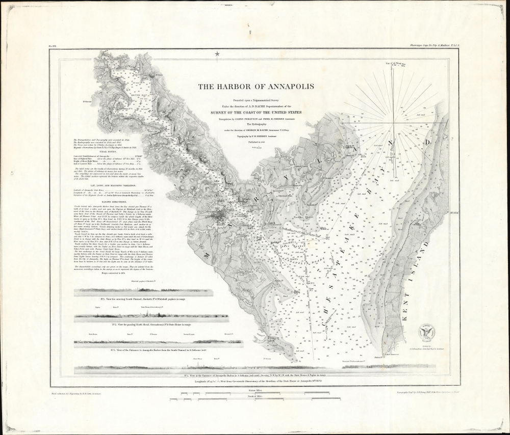
The Harbor of Annapolis.
sold
- Digital Map Information
- Suitable for large format printing
- File Size: 36.9 MB
- File Type: ZIP / TIFF
- ICC color profile embedded
- Delivered instantly via download link
This is the 1874 U.S. Coast Survey nautical map detailing Annapolis Harbor, Maryland, in a scarce separate issue example. (more details)
Part of Channel Islands National Park.

Preliminary Survey of Anacapa Island and East End of Santa Cruz Island California.
sold
- Digital Map Information
- Suitable for large format printing
- File Size: 13.75 MB
- File Type: ZIP / TIFF
- ICC color profile embedded
- Delivered instantly via download link
This is an 1856 U.S. Coast Survey nautical chart or maritime map of Anacapa Island and the eastern part of Santa Cruz Island, California. It provides a great deal of navigational and hydrographical information to mariners. (more details)
An Attractive French Map of India.
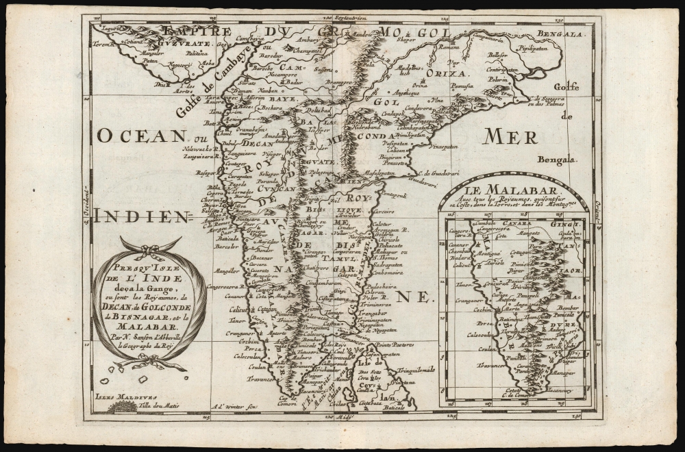
Presqu'Isle de l'Inde deça la Gange, ou sont les Royaumes, de Decan, de Golconde dd Bisnagar, et le Malabar. Par N. Sanson d'Abbeville le Geographe du Roy.
$300.00
Acquire
- Digital Map Information
- Suitable for large format printing
- DPI: 600
- File Size: 11.25 MB
- File Type: ZIP / TIFF
- ICC color profile embedded
- Delivered instantly via download link
This is Nicolas Sanson's 1653 map of the Indian Peninsula, reengraved for its first Dutch edition of 1683. (more details)
A new perspective on the Pacific Theater.
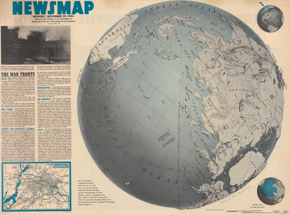
NEWSMAP. Monday, November 29, 1943. Week of November 18 to November 25. 220th Week of the War - 102nd Week of U.S. Participation.
sold
- Digital Map Information
- Suitable for large format printing
- Full resolution TIFF file
- ICC color profile embedded
- Delivered instantly via download link
Attempting to help viewers gain a new perspective on distances involved in fighting the Pacific front, this is a 1943 Army Orientation Branch Newsmap map of the Pacific Ocean and Asia. Using a map created by Richard Edes Harrison, this Newsmap places Japan at the center of a globe. (more details)
A Place with a Lot of Fishtory.
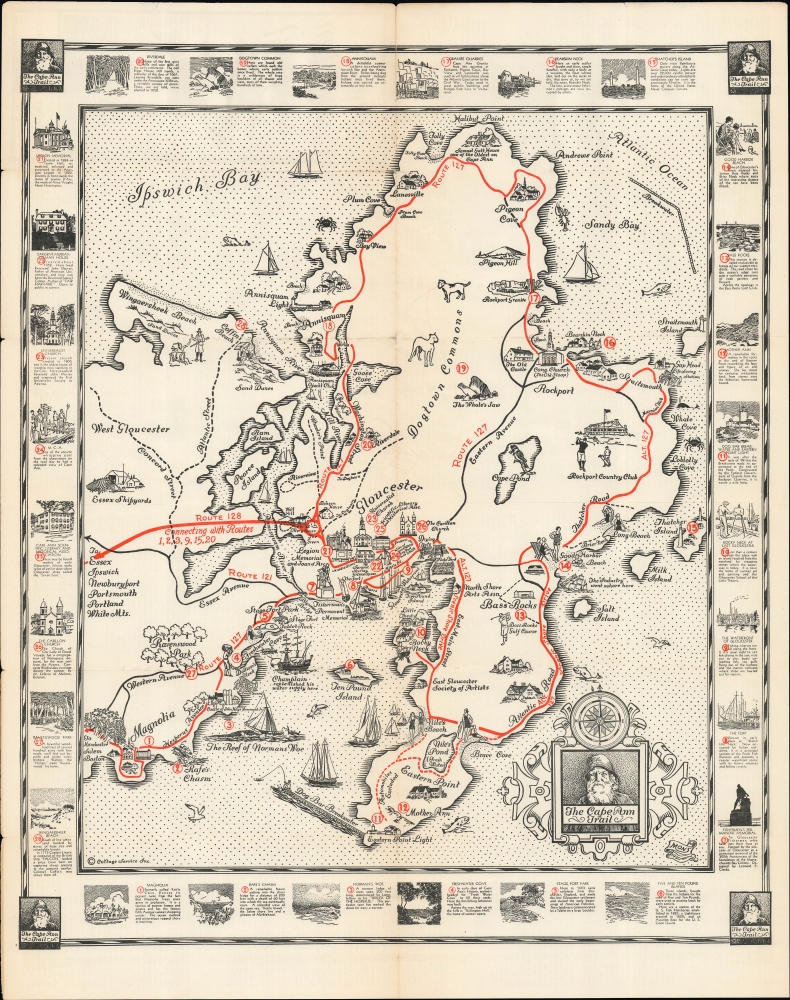
The Cape Ann Trail.
sold
- Digital Map Information
- Suitable for large format printing
- Full resolution TIFF file
- ICC color profile embedded
- Delivered instantly via download link
A lovely 1930 pictorial map of Cape Ann, Massachusetts, including Rockport and Gloucester, illustrated by the artist 'Mons' and published by the Gloucester Chamber of Commerce. It outlines a trail around the peninsula that hits its best-known attractions and historical sites, most of which relate to the colonial era or the area's nautical orientation, including its famous fishing industry. (more details)
Building Bridges across Continents.
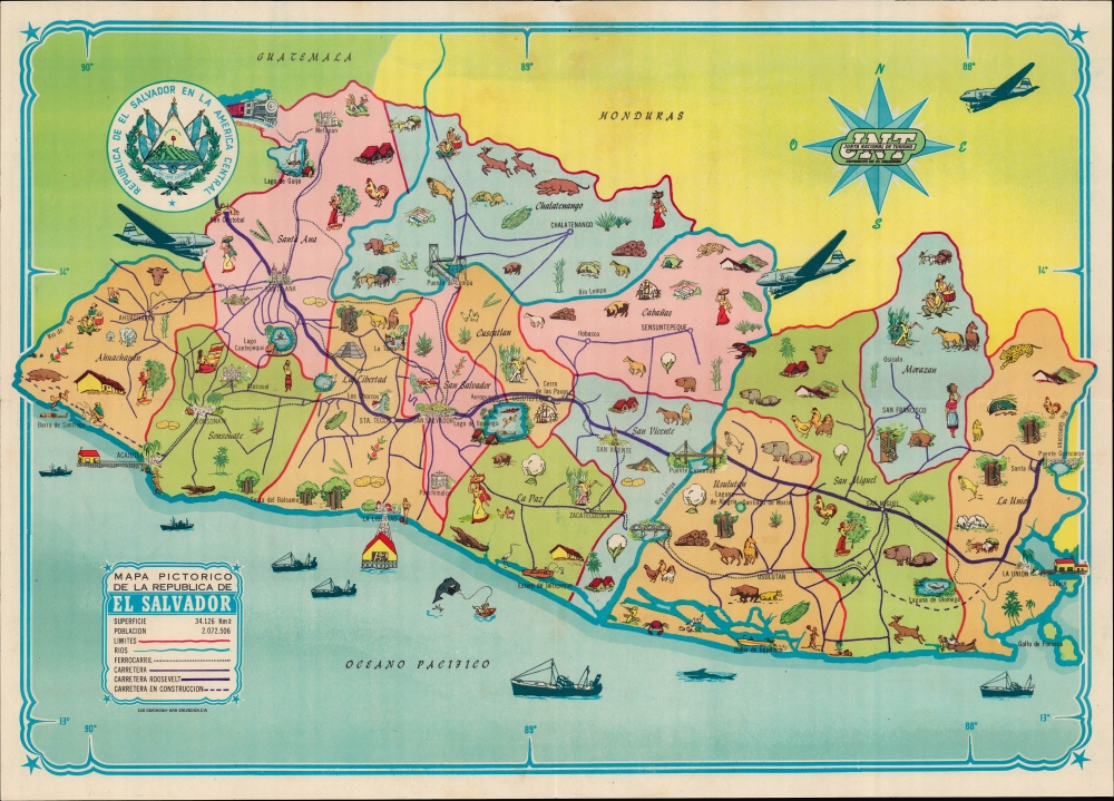
Mapa Pictorico de la Republica de El Salvador.
sold
- Digital Map Information
- Suitable for large format printing
- File Size: 10.47 MB
- File Type: ZIP / TIFF
- ICC color profile embedded
- Delivered instantly via download link
A colorful c. 1950 pictorial map of El Salvador, printed by Luk Dreikorn for the country's Junta Nacional de Turismo. It highlights both the country's history and contemporary developments, such as airplanes, concrete bridges, and highways, including the Pan-American Highway. (more details)
Travel the Intracoastal Waterway from Miami to West Palm Beach.
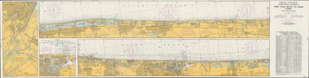
Nautical Chart 847-SC. Intracoastal Waterway. West Palm Beach to Miami Florida.
sold
This is a 1967 U.S. Coast and Geodetic Survey nautical chart of the Florida coast from West Palm Beach to Miami focusing on the Intracoastal Waterway. (more details)
Russian Cold War plans for a nuclear attack on Phoenix.
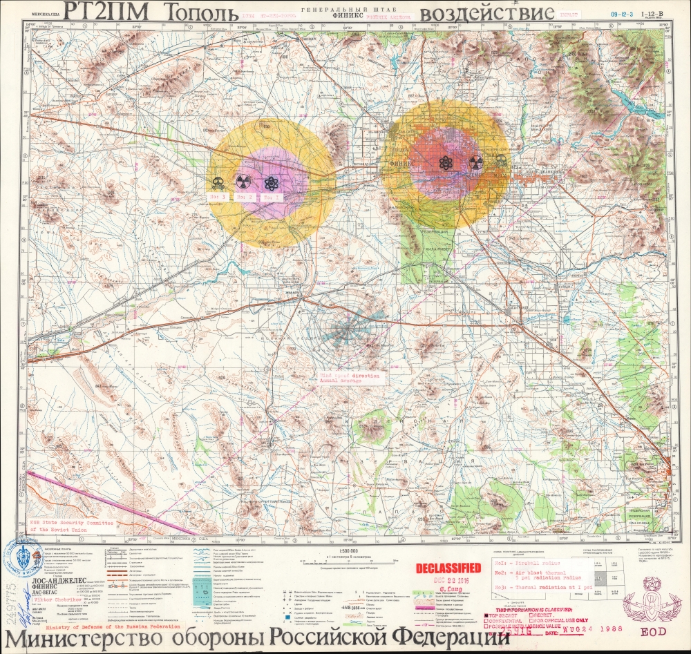
ГЕНЕРАЛЬНЫЙ ШТАБ ФИНИКС. РТ2ПМ Тополь. Воздействие. / GENERAL HEADQUARTERS PHOENIX. RT-2PM-Topol. Impact.
sold
A chilling and thought-provoking 1982 Soviet Cold War map of Phoenix, Arizona, illustrating Russian plans for a nuclear ICBM attack. Two impacts targets are illustrated in manuscript: downtown Phoenix and the Palo Verde Generating Station, one of the largest nuclear power plants in the United States. The map bears the signature of Viktor Chebrikov (Виктор Михайлович Че́бриков; 1923 - 1999), then head of the KGB, as well as stamps showing that it was obtained and translated by American intelligence. (more details)
Only America map of the Mercator Atlas.
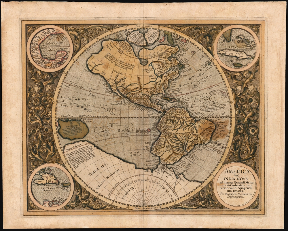
America, siue, India Nova : ad magnae Gerardi Mercatoris aui vniversalis imitationem in compendium redacta.
sold
- Digital Map Information
- Suitable for large format printing
- Full resolution TIFF file
- ICC color profile embedded
- Delivered instantly via download link
This is Mercator's 1595 America, one of the most visually arresting maps of the Western Hemisphere. It is the only map of America to appear in an atlas directly connected to the great Gerard Mercator, here in a first Atlas edition of 1595. (more details)
Pivotal map of North America.
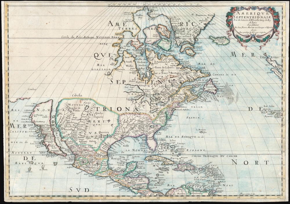
Amerique Septentrionale Par N. Sanson d'Abbeville Geog. du Roy A Paris Chez l'Auteur Et chez Pierre Mariette rue S. Jacques a lEsperāce 1650. Avec privilege du Roy pour vingt Ans.
sold
- Digital Map Information
- Suitable for large format printing
- DPI: 600
- File Size: 46.63 MB
- File Type: ZIP / TIFF
- ICC color profile embedded
- Delivered instantly via download link
This is Sanson's map of North America, in its 1659 third state. Sanson’s was one of the first maps to reflect the increasing dominance of French exploration and cartography in the New World. It is among the earliest maps to show all five Great Lakes recognizably, and the first to name Superior and Ontario. It is also significant for being the first map to locate Santa Fe, and to note the existence and location of the Apache and Navajo tribes in the American southwest. (more details)