
The Ancient Roman World.
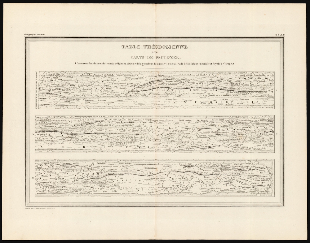
Table Théodosienne dite Carte de Peutinger.
$200.00
Acquire
- Digital Map Information
- Suitable for large format printing
- DPI: 600
- File Size: 27.64 MB
- File Type: ZIP / TIFF
- ICC color profile embedded
- Delivered instantly via download link
This is a 19th century printing of the Peutinger Table, one of the only and most important survivals of ancient Roman geography. It is a reduction of the only surviving example of an itinerarium pictum, a visual guide to the Roman road system. Its title here, Table Théodosienne, refers to the assumption that the map was drawn during the reign of Emperor Theodosius. (more details)
A comprehensive reference work for Ancient Egypt.

Aegyptus.
sold
- Digital Map Information
- Suitable for large format printing
- Full resolution TIFF file
- ICC color profile embedded
- Delivered instantly via download link
A wonderful 1787 Rigobert Bonne map of Egypt with ancient toponymy, produced for Bonne and Nicolas Desmarest's Atlas Encyclopedique. It contains a wealth of information about ancient Egypt, particularly the location of cities and towns along the Nile. (more details)
Strong first-edition strike!
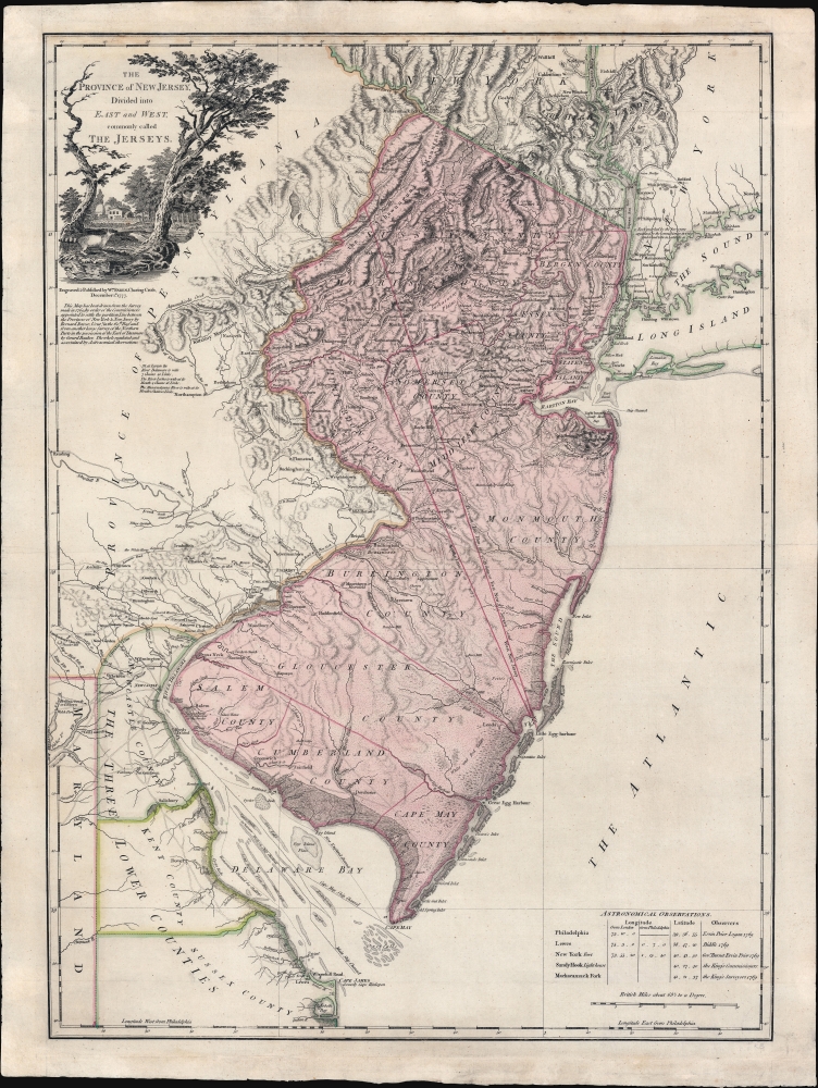
The Province of New Jersey Divided into East and West, commonly called The Jerseys.
sold
- Digital Map Information
- Suitable for large format printing
- Full resolution TIFF file
- ICC color profile embedded
- Delivered instantly via download link
A fine 1777 first-state first-edition map of New Jersey by William Faden and Bernard Ratzer - exhibiting the fine strong strike only evident on first editions. Focused on New Jersey, coverage extends to include eastern Pennsylvania, Delaware, and New York City. It captures the state's complex topography, noting the Jersey Highlands and the Palisades in the north and the Pine Barrens and coastal marshes in the south. New Jersey is here broken down into 12 counties, as they existed at the time, as well as multiple towns and roads. Note that there are no coastal routes through Monmouth County, requiring travelers instead to travel inland to Crosswicks, then south east to Egg Harbor, before continuing south. There is also an annotation regarding the settlement of Fort Helsingburg, near Salem on the Delaware River, where in 1640, Swedish settlers attempt to establish a colony. (more details)
The Classic Map of America of the Dutch Golden Age of Cartography.
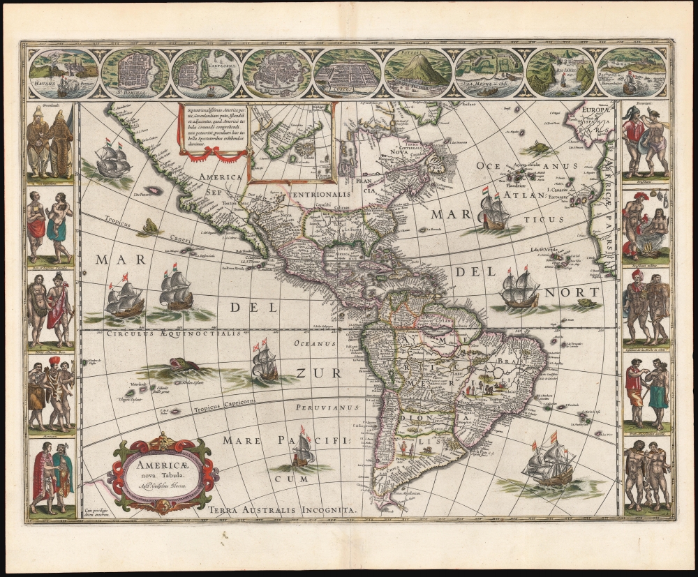
Americae Nova Tabula. Auct. Guilielmo Blaeuw.
sold
- Digital Map Information
- Suitable for large format printing
- Full resolution TIFF file
- ICC color profile embedded
- Delivered instantly via download link
The essential Dutch map of America: Willem Janszoon Blaeu's 1635 carte-á-figures of the Western Hemisphere. This is among the most desirable printed maps, encapsulating in one piece the most sought-after aesthetic qualities of the Dutch Golden Age of Cartography. (more details)
Meticulous day-to-day diary of war.

[Western Campaign. Eastern Campaign.].
sold
- Digital Map Information
- Suitable for large format printing
- File Size: 907.88 MB
- File Type: ZIP / TIFF
- ICC color profile embedded
- Delivered instantly via download link
An extraordinary discovery, this is a handwritten schoolgirl diary chronicling World War I from April 15, 1918, to just after June 23, 1919. The 124-page diary features meticulously executed hand-drawn maps covering battle fronts from France and Belgium to the Middle East, Ukraine (Crimea), the Caucasus, and Siberia, all of which are referenced in the text. A map near the end highlights the final Allied offensive and victories from August through November 1918. Photographs, airplane silhouettes, and newspaper clippings are pasted in as well, and the writer includes striking drawings of airplanes, tanks, airships, bombs, and manuscript copies of political cartoons. (more details)
The earliest acquirable modern printed map of Eastern Europe.
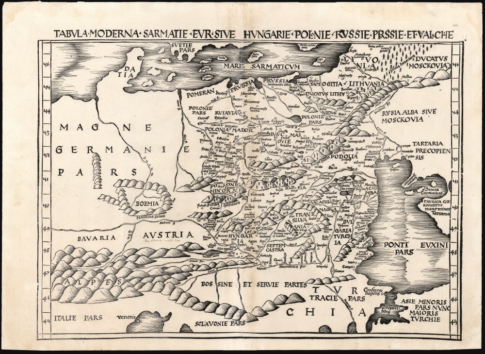
Tabula Moderna Sarmatie Eur. Sive Hungarie Polonie Russie Prussie Et Walachie.
sold
- Digital Map Information
- Suitable for large format printing
- DPI: 600
- File Size: 53.73 MB
- File Type: ZIP / TIFF
- ICC color profile embedded
- Delivered instantly via download link
This is Martin Waldseemüller's 1513 map of Eastern Europe, covering from the Elbe River to the Dnipro River and the Black Sea - roughly Poland, Hungary, Prussia, Lithuania, Russia, Transylvania, and Bulgaria, and some of the earliest obtainable mappings of the Ukraine. (more details)
One of the most important maps of Siberia made in Tsarist times.
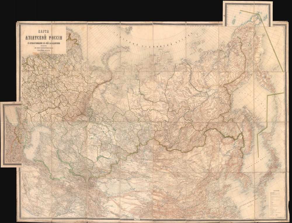
Карта Азіятской Россіи с прилегающими к ней владѣниями / [Map of Asian Russia, with Adjacent Possessions].
sold
- Digital Map Information
- Suitable for large format printing
- Full resolution TIFF file
- ICC color profile embedded
- Delivered instantly via download link
This is an rare and important 1884 Russian-language map of the Russian Empire, focusing on Siberia and the Russian Far East, produced by the Military Topographic Department of the Imperial Army's General Staff. It represents a major advance in detailed geographical and cartographic knowledge of Siberia at a time, when the Tsarist government was increasingly interested in settling colonists and exploiting the resources of the vast region. (more details)
Original art for iconic Fort Myers travel poster.

Beautiful Estero Island Commonly Called Fort Myers Beach Florida • 33931.
sold
This W. Harold Hancock's c. 1975 original artwork view of Fort Myers Beach (Estero Island), Florida. (more details)
Original art for iconic Marco Island travel poster.
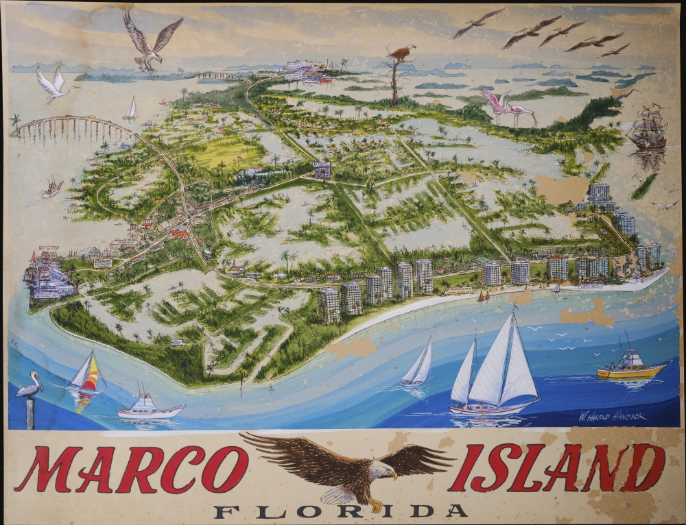
Marco Island.
sold
This W. Harold Hancock's c. 1975 original artwork bird's-eye view of Marco Island, Florida. (more details)
First atlas map of Africa.
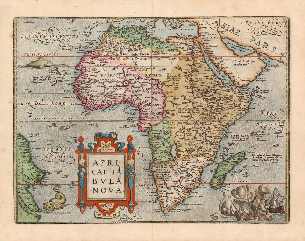
Africae Tabula Nova.
sold
- Digital Map Information
- Suitable for large format printing
- Full resolution TIFF file
- ICC color profile embedded
- Delivered instantly via download link
This is a beautiful example of Ortelius' 1570 map of Africa, here in its 1602 Spanish edition. In its first issue this was the first map of Africa to appear in an atlas, and it remained the best and most widespread general map of Africa for the remainder of the 16th century and into the 17th. It remains a most desirable map: Tooley rhapsodized:
…one of the cornerstones of any African map collection . . . a handsome, well balanced map, visually beautiful and finely engraved . . . it made a great impact upon its contemporaries and remained the standard map of Africa for the rest of the century.(more details)
Slava Ukraini!

Україна / [Ukraine].
sold
A rare and remarkable work, this is the first map of modern, independent Ukraine printed after the breakup of the Soviet Union. It was prepared by Rostyslav Sossa and published in 1992 by Mapa Ltd., a recently-founded private enterprise. (more details)
Art Deco Prohibition view of Chicago as a mirror of the Untied States!
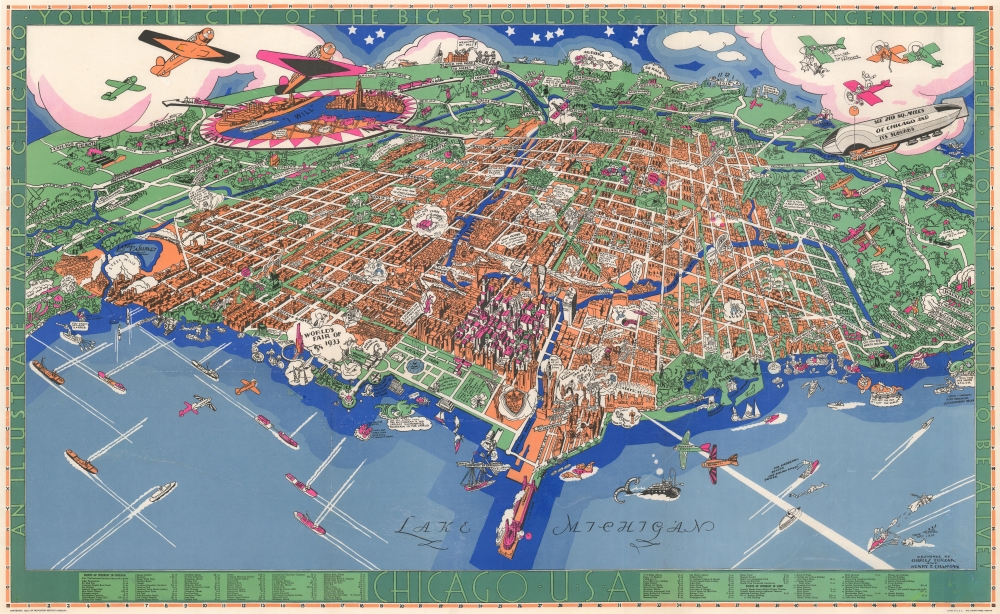
Chicago U.S.A. An Illustrated Map of Chicago Youthful City of the Big Shoulders.
sold
- Digital Map Information
- Suitable for large format printing
- File Size: 45.39 MB
- File Type: ZIP / TIFF
- ICC color profile embedded
- Delivered instantly via download link
An extraordinary 1931 large-format pictorial art-deco view and map of Chicago by Charles Turzak and Henry T. Chapman. Chromolithographed in 'five gay colors', the view humorously embraces Chicago as seen from a highpoint over Lake Michigan, to the northeast. It is centered on the Loop business district, and embraces urban Chicago from the Calmut to Highland Park, and inland as far as Wheaton. Turzak and Chapman's Chicago bustles with life, from 1930s airplanes filling the sky, and fast boats on Lake Michigan, to fast cars, sunbathing beauties, and an enormous blimp. Everything is embraced with wit and charm, from gang wars to Wrigley Tower ('Built of 5¢ Chewing Gum'), to bootlegging. The map, moreover, argues in its form for Chicago as a microcosm of the United States, a message reinforced by the upcoming 1933 Century of Progress World's Fair. The whole is surrounded by an art deco border that defines Chicago, 'youthful city of the big shoulders, restless, ingenious, willful, violent, proud to be alive!' (more details)
Provides biblical and modern place names.
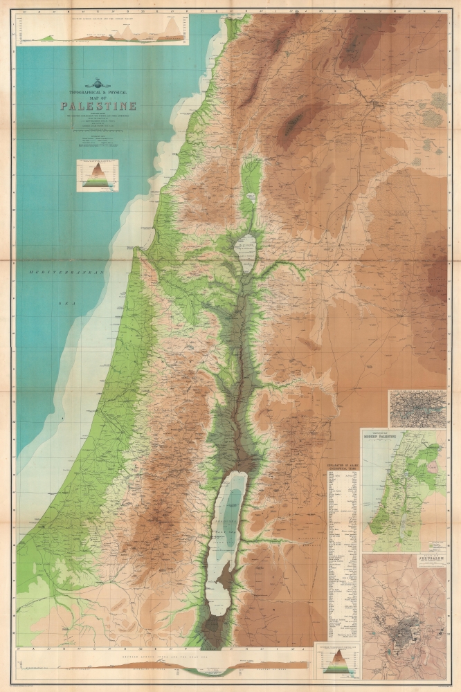
Topographical and Physical Map of Palestine.
sold
- Digital Map Information
- Suitable for large format printing
- Full resolution TIFF file
- ICC color profile embedded
- Delivered instantly via download link
This is John Bartholomew and George Adam Smith 1901 wall map of Palestine featuring both biblical and contemporary content. (more details)
Tracing Woodstock's history.
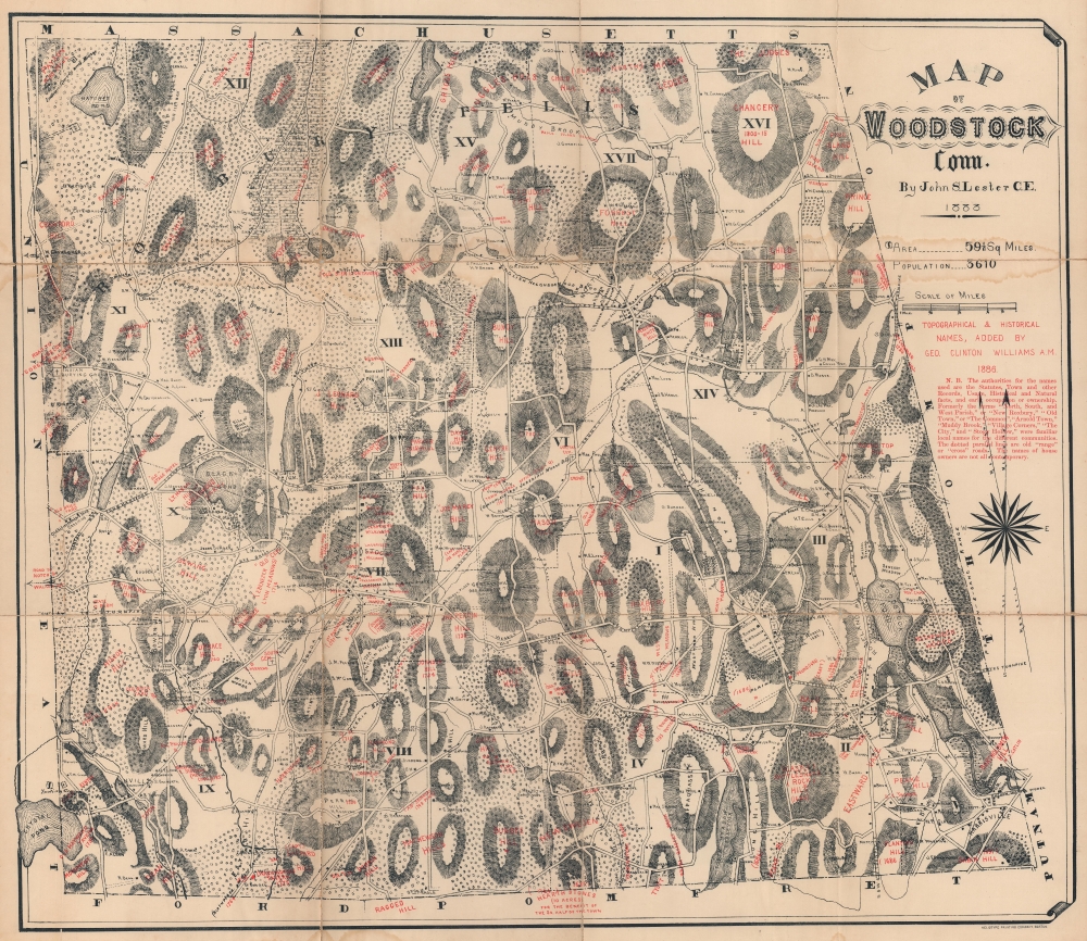
Map of Woodstock, Conn.
sold
- Digital Map Information
- Suitable for large format printing
- File Size: 100.58 MB
- File Type: ZIP / TIFF
- ICC color profile embedded
- Delivered instantly via download link
This 1886 John Lester and George Clinton Williams map of Woodstock, Connecticut combines historical content with contemporary homesteads and businesses. Situated in northeastern Connecticut, Woodstock was settled in 1686 and officially named in 1690. (more details)
Sportsman's Map of U.S. Wildlife.
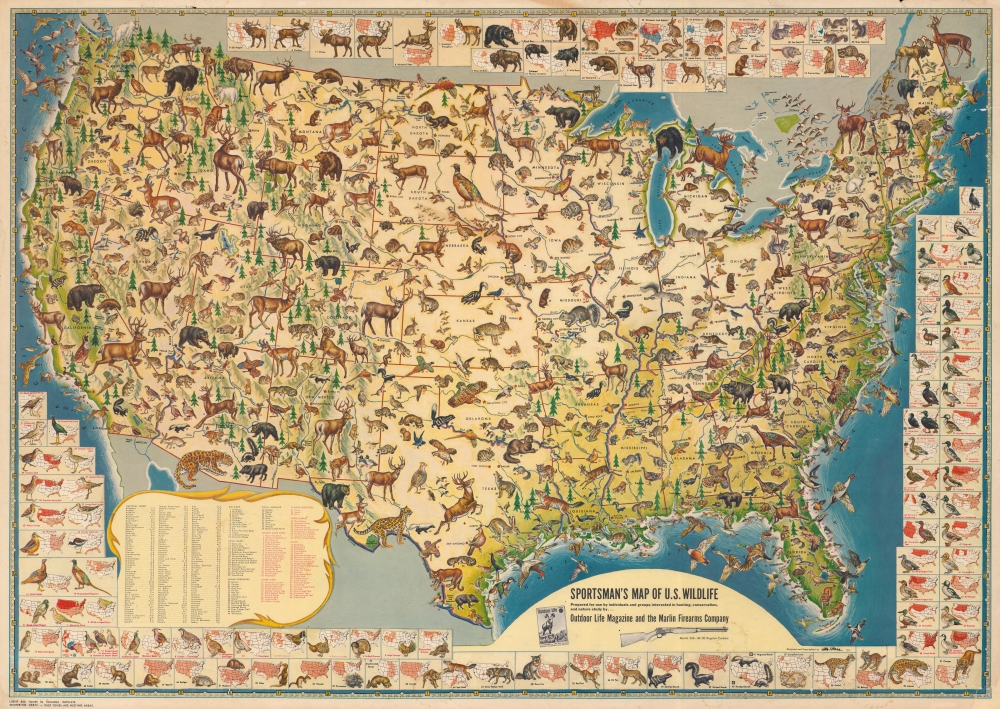
Sportsman's Map of U.S. Wildlife.
sold
An impressive 1956 Ira Moss pictorial map of wildlife and game native to the United States, sponsored by Outdoor Life magazine and the Marlin Firearms Company. It depicts the richness and variety of fauna in the continental U.S. in fantastic detail. (more details)
Early history of the Hudson Valley.
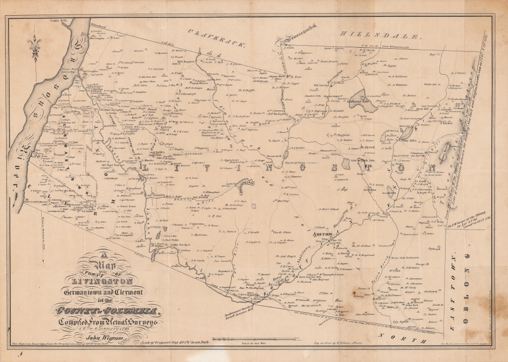
A Map of the Towns of Livingston Germantown and Clermont in the County of Columbia.
sold
- Digital Map Information
- Suitable for large format printing
- Full resolution TIFF file
- ICC color profile embedded
- Delivered instantly via download link
A fine example of David Vaughan's 1850 reissue of John Wigram's 1798 ornate map of the towns of Livingston, Germantown, and Clermont in Columbia County, New York. It was produced for The Documentary History of the State of New-York, an important reference work for the early history of the state. (more details)
British Empire trade infographic.
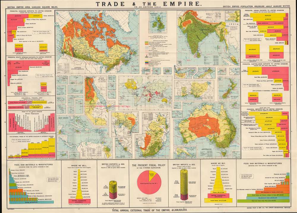
Trade and the Empire: graphically represented by 56 coloured maps and diagrams.
sold
- Digital Map Information
- Suitable for large format printing
- Full resolution TIFF file
- ICC color profile embedded
- Delivered instantly via download link
This is a rare c. 1903 George Philip infographic map illustrating trade within the British Empire, with an emphasis on India, Canada, Australia, and South Africa. It is simultaneously a very informative historical source, a piece of imperial propaganda, and a set of maps of the key holdings in the British Empire. (more details)
Issued shortly before Japanese invasion.
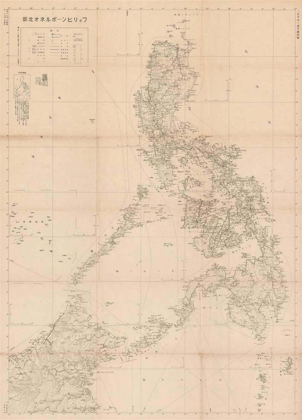
The Philippines - Northern Borneo. / フィリピンーボルネオ北部
sold
- Digital Map Information
- Suitable for large format printing
- File Size: 48.96 MB
- File Type: ZIP / TIFF
- ICC color profile embedded
- Delivered instantly via download link
A rare large-format 1941 Japanese General Staff Headquarters (参謀本部) World War II aviation map of the Philippines and Northern Borneo issued just months before the December 7, 1941 Japanese invasion. It offers critical insight into not only Japan's attack plan, but also its ambitious long-term goals for the Philippines. (more details)
First battle between iron clad ships.
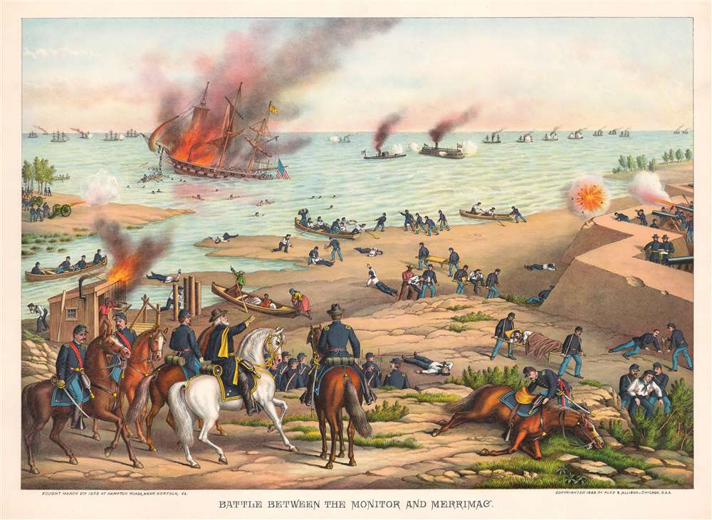
Battle Between the Monitor and Merrimac.
sold
- Digital Map Information
- Suitable for large format printing
- File Size: 49.19 MB
- File Type: ZIP / TIFF
- ICC color profile embedded
- Delivered instantly via download link
This is an 1889 Kurz and Allison chromolithograph view of the Battle of Hampton Roads (March 8 - 9, 1862) - renowned as the first clash of ironclads (more details)
Not a bad plan.
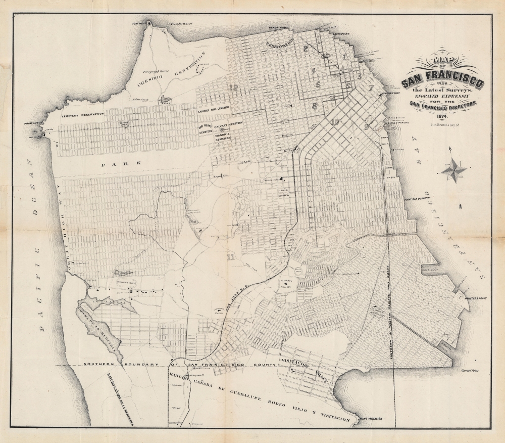
Map of San Francisco from the latest surveys. Engraved expressly for the San Francisco Directory. 1874.
sold
- Digital Map Information
- Suitable for large format printing
- File Size: 18.73 MB
- File Type: ZIP / TIFF
- ICC color profile embedded
- Delivered instantly via download link
An important map of San Francisco produced by Britton and Rey for the 1874 edition of The San Francisco Directory. Notably, it reflects efforts to plan and develop the western and southern portion of the city to accommodate its rapidly growing population. (more details)