
Florida's most successful Post-WWII planed city.

Cape Coral, Florida. 'A Waterfront Wonderland.'
sold
This is an enormous c. 1960 Gulf Guarantee Land and Title plat map of Cape Coral, Florida. It is the oldest known and best promotional map of Cape Coral - Florida's most successful post-WWII planned community. (more details)
An Essential Martha's Vineyard Map.
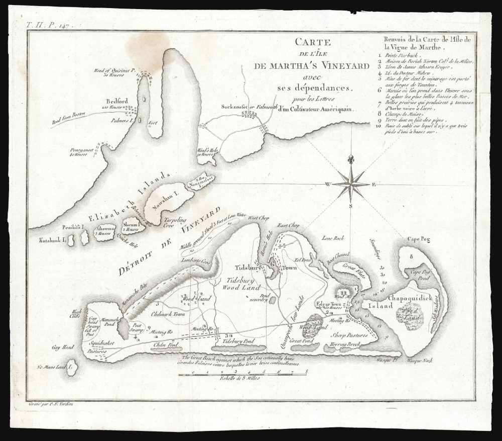
Carte de L'Ile de Martha's Vineyard avec ses dependances, pour les Lettres d'un Culuvateur Ameriquain.
sold
- Digital Map Information
- Suitable for large format printing
- File Size: 4.25 MB
- File Type: ZIP / TIFF
- ICC color profile embedded
- Delivered instantly via download link
This small but important map by P. F. Tardieu is the earliest obtainable separate map of Martha's Vineyard, Massachusetts. (more details)
Yale University: student life, secret societies, tap day.

Yale University.
sold
- Digital Map Information
- Suitable for large format printing
- File Size: 26.34 MB
- File Type: ZIP / TIFF
- ICC color profile embedded
- Delivered instantly via download link
This is a 1950 Herbert Brook and Max Revenson pictorial map of Yale University. The map humorously highlights Yale's student life, secret societies, traditions (tap night), and sports. There is also a bit of mystery surrounding it, as while the copyright recognizes Herbert Brook, the map is signed by Maxwell Revenson. (more details)
Olmsted's greatest park.

Design for Prospect Park in the City of Brooklyn.
sold
- Digital Map Information
- Suitable for large format printing
- File Size: 32.05 MB
- File Type: ZIP / TIFF
- ICC color profile embedded
- Delivered instantly via download link
This is the 1870 edition of Calvert Vaux and Frederick Law Olmsted's map of Prospect Park, Brooklyn. The map presents a comprehensive overview of the park during its initial construction phases. Although operable by 1870, Prospect Park was not officially finished until 1895. (more details)
Boardman's important map of the White Mountains - with striking arsenic-green covers.

Map of the White Mountains New Hampshire from Original Surveys.
sold
- Digital Map Information
- Suitable for large format printing
- Full resolution TIFF file
- ICC color profile embedded
- Delivered instantly via download link
This is a first edition of Harvey Boardman's 1858 map of the White Mountains, New Hampshire. The remarkably useful map features roads, carriage ways, and summit trails throughout the presidential range as well as Mount Moriah, Mount Lafayette, Mount Willard, and Cannon Mountain. It notes the locations of public buildings, churches, mills, and hotels. It is attractively decorated with vignettes of public houses and hotels throughout the region, naming their proprietors. Two tables in the lower right allow easy calculation of distances between lodgings, making it relevant to the traveler. While Boardman is known to have surveyed the distances of the roads on his maps personally - contemporary reports have him trekking about the mountains with an odometer - he relied on the 1853 work of George Bond for elevations. (more details)
California's Other Tinseltown.
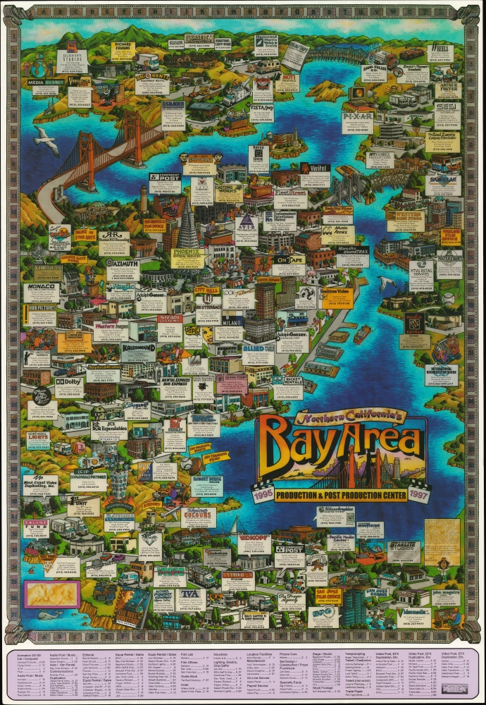
Northern California's Bay Area Production and Post Production Center 1995 1997.
$950.00
Acquire
A scarce 1994 pictorial promotional map of the San Francisco Bay Area, produced by Bayside Promotions. It highlights businesses related to the region's often-underappreciated film industry. (more details)
The 'Plant System' and early Railroad access to Tampa.

Map of the Charleston and Savannah RY. Savannah, Florida and Western RY. South Florida R.R. and all the routes operated by the peoples line of steamers known as the 'plant system.'
sold
- Digital Map Information
- Suitable for large format printing
- Full resolution TIFF file
- ICC color profile embedded
- Delivered instantly via download link
An 1884 folding map of a portion of the southeastern United States, printed by C. G. Crawford and published by Thomas Cook and Son, highlighting railroad infrastructure. More specifically, it focuses on the 'Plant System,' a series of railroads acquired by business magnate and architect of Tampa Bay, Henry B. Plant. (more details)
Lovely Lake Escape.
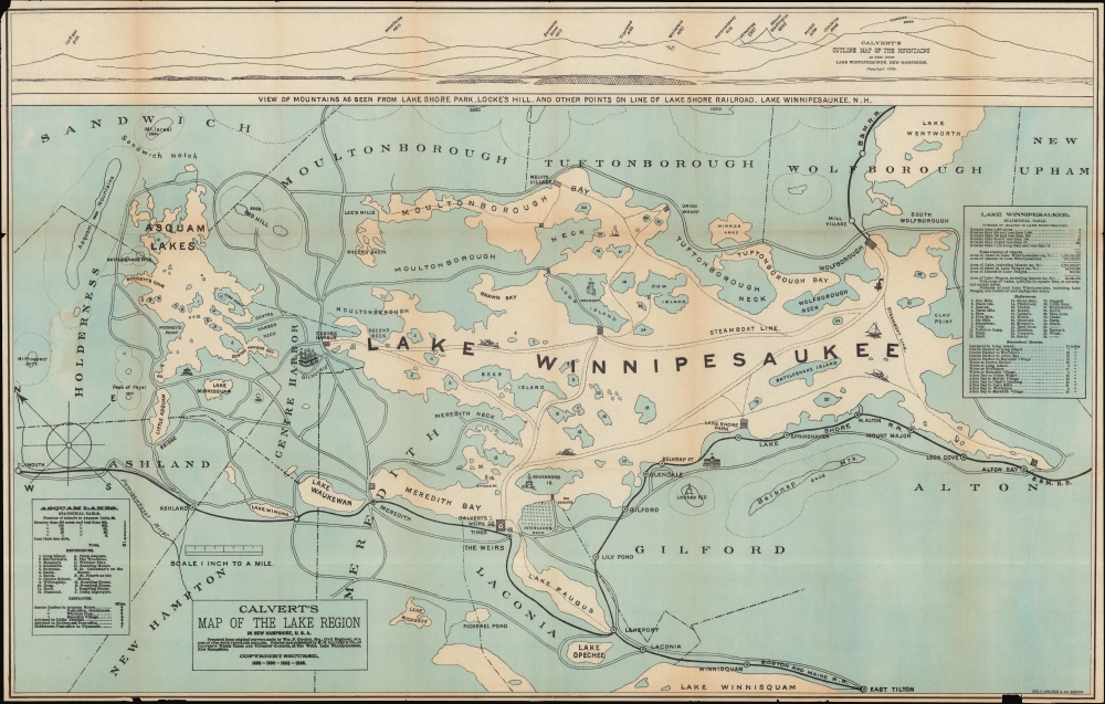
Calvert's Map of the Lake Region in New Hampshire, U. S. A.
sold
- Digital Map Information
- Suitable for large format printing
- File Size: 309.93 MB
- File Type: ZIP / TIFF
- ICC color profile embedded
- Delivered instantly via download link
A fascinating 1896 map of the Lakes Region of New Hampshire, prepared by M. H. Calvert and printed by George H. Walker and Co. It is designed with tourists in mind, emphasizing hotels, attractions, and rail lines. (more details)
Dawn of the Space Shuttle Era.

Spaceport USA. / NASA Kennedy Space Center's Spaceport USA.
sold
A lively 1984 pictorial map of Spaceport USA, the Kennedy Space Center at Cape Canaveral, Florida, produced by the Space Center itself. Made during the early days of the space shuttle era, it celebrates this new chapter in the storied legacy of America's Space Program. (more details)
Recruiting Zionist Youth to Settle Galilee.

הגליל / [Galilee].
sold
A scarce, remarkable work of persuasive cartography, this 1965 map with accompanying text and photographs was published by the Jewish National Fund (JNF). It advocates Zionist settlement in the Galilee region, a frontline in the frozen Arab-Israeli conflict that would again see large-scale fighting soon afterward in the Six-Day War. (more details)
Early 'rusticator' tourism to the White Mountains.
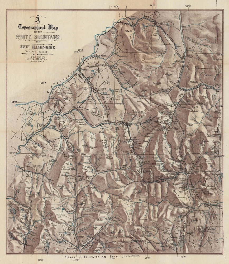
A Topographical Map of the White Mountains, of New Hampshire.
sold
- Digital Map Information
- Suitable for large format printing
- File Size: 33.37 MB
- File Type: ZIP / TIFF
- ICC color profile embedded
- Delivered instantly via download link
This is striking c. 1880 Charles H. Hitchcock chromolithograph topographical map of the White Mountains, New Hampshire. This map emerged as the White Mountains were beginning to see widespread railroad connections, making the stunning forested region accessible to urbanites in search of a reprived from stultifying city life. (more details)
Casino Coast.
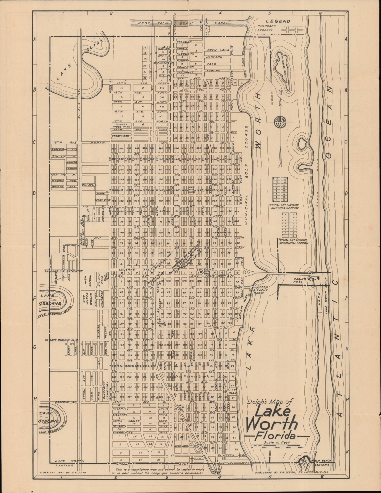
Dolph's Map of Lake Worth Florida / Map of Lake Worth Delray Beach and Lantana Florida.
sold
- Digital Map Information
- Suitable for large format printing
- Full resolution TIFF file
- ICC color profile embedded
- Delivered instantly via download link
A highly detailed, unrecorded city plan of Lake Worth (recently renamed Lake Worth Beach), Florida, with maps of nearby Delray Beach and Lantana on the verso, published in 1945 by Frank Dolph. (more details)
Postwar Suburban Paradise.
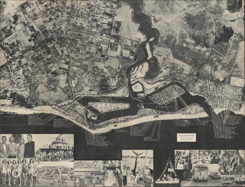
This is Newport Harbor / Aerial Map and Business Guide for Newport Harbor Southern California's Finest Vacationland the Year Around.
sold
- Digital Map Information
- Suitable for large format printing
- Full resolution TIFF file
- ICC color profile embedded
- Delivered instantly via download link
An unrecorded 1948 photographic aerial view of Newport Beach, California, produced by W. S. Hardy and the Santa Ana Printing Co. It presents Newport in the early phase of a long period of tremendous growth that was marked, among other things, by a transition away from the fishing industry. (more details)
Hiking the High Sierra.
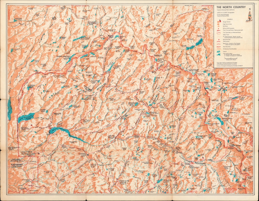
The North Country Yosemite National Park / Pocket Guide to the North Country Yosemite National Park.
sold
A colorful 1954 map of the northern portion or 'North Country' of Yosemite National Park, including mountains, lakes, reservoirs, and hiking trails, made by Lewis W. Clark. (more details)
First cartobibliography of the Northwest Passage.
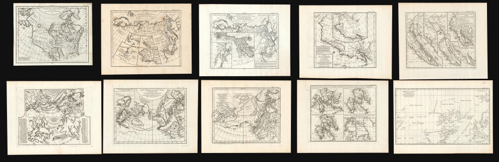
Carte des parties nord et oust de L'Amerique/ Carte des parties Nord et est de L'Asie/Nouvelle représentation Des Côtes Nord et Est de l'Asie/ Carte de la Californie et des Pays Nord-Ouest separés de l'Asie par le détroit d'Anian./ Carte de la Californie Suivant.../ Carte des Nouvelles Decouvertes dressée par Phil. Buache/ Carte Générale des Découvertes de l'Amiral de Fonte…/ Carte Generale des Découvertes de l'Amiral de Fonte ... Jefferys/ Carte qui Représente les différentes connoissances que l'on a eues des Terres Arctiques depuis 1650 jusqu'en 1747 / Partie de la Carte du Capitaine Cluny…
sold
This is Robert de Vaugondy's seminal 1772 map series exploring the mapping of North America, Asia, and specifically the Northwest Passage, summarizing three centuries of cartography. Included as a supplement to Diderot's 1772 Encyclopédie, this was among the first studies in comparative cartography committed to print. The cartographic survey embraced some of the most important topics in 18th-century geography and might justifiably be proposed as the first cartobibliography.
(more details)
(more details)
One of the earliest maps to name Kuwait (El Koueit ox Grane), Dubai (Debai) and Abu Dhabi (Abuthubbi).
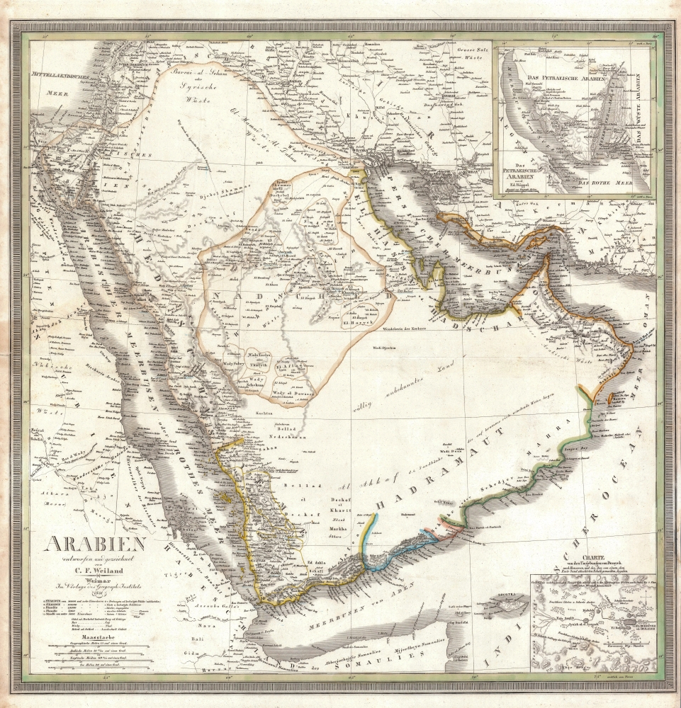
Arabien.
sold
- Digital Map Information
- Suitable for large format printing
- DPI: 600
- File Size: 28.2 MB
- File Type: ZIP / TIFF
- ICC color profile embedded
- Delivered instantly via download link
This is an 1841 Carl Ferdinand Weiland map of Arabia - considered one of the earliest modern scientific mappings of the Arabian Peninsula and one of the earliest maps to name Kuwait (El Koueit ox Grane), Dubai (Dubai), and Abu Dhabi (Abuthubbi). (more details)
Fin de Siecle San Francisco.

Pacific Coast Scenes Supplement to the Christmas Wasp 1884.
sold
- Digital Map Information
- Suitable for large format printing
- File Size: 404.8 MB
- File Type: ZIP / TIFF
- ICC color profile embedded
- Delivered instantly via download link
A scarce set of vignettes by the acclaimed California painter Christian Jorgensen, published as a supplement to the 1884 Christmas edition of The Wasp, an illustrated satirical news magazine. Focusing on San Francisco and environs, it reinforces the conception Californians hold of their homeland as a land of romance, excitement, and stunning natural beauty. (more details)
Epitome of Nolli's Masterwork Plan of Rome.

La Topografia di Roma di Gio Batta Nolli Dalla Maggiore in Questa Minor Tavola Dal Medesimo Ridotta. Piranesi e Nolli Incisero.
sold
- Digital Map Information
- Suitable for large format printing
- File Size: 45.08 MB
- File Type: ZIP / TIFF
- ICC color profile embedded
- Delivered instantly via download link
This is a 1748 Giambattista Nolli city plan or map of Rome, Italy, in its single-sheet reduced format state, engraved by the mapmaker and Giovanni Battista Piranesi. Nolli's magnum opus, the twelve-sheet La Nuova Pianta Di Roma, was printed that same year and typically bound together with two single-sheet maps: one, a retrospective showing Rome during the Classical Era, and this beautifully engraved plan intended to present the grander work in synopsis. (more details)
Ptolemy's Second Projection.
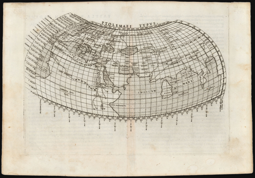
Ptolemaei Typus.
sold
- Digital Map Information
- Suitable for large format printing
- Full resolution TIFF file
- ICC color profile embedded
- Delivered instantly via download link
This is Girolamo Ruscelli's 1561 plate of a foundational work of Renaissance cartography: the map of the known world as understood at the time of the Roman Empire. This presentation of ancient geography is refreshingly unique in that it employs Ptolemy's second projection, as opposed to the more typical, simpler first projection. (more details)
Japan's Expanding Influence in Manchuria.

朝鮮及滿洲全圖 / [Complete Map of Korea and Manchuria].
sold
- Digital Map Information
- Suitable for large format printing
- File Size: 1355 MB
- File Type: ZIP / TIFF
- ICC color profile embedded
- Delivered instantly via download link
A large, unrecorded 1911 map of Korea and Manchuria by Saito Katsuzo. It highlights the regional transportation network, which under Japanese influence, was rapidly connecting Japan's expanding overseas empire. Extensive and interesting advertising surrounds the main map. (more details)