

County of London.
sold
- Digital Map Information
- Suitable for large format printing
- File Size: 24.88 MB
- File Type: ZIP / TIFF
- ICC color profile embedded
- Delivered instantly via download link
A colorful and attractive c. 1955 pictorial map of London printed by John Bartholomew & Sons. The comp covers central London from Hyde Park to Aldgate and from Green Park to Waterloo Station. The map was issued to raise funds for the Hospital for Sick ... (more details)
Mangin's idealized plan of New York.

Plan of the City of New York, Drawn from Actual Survey by Casimir Th. Goerck and Joseph Fr. Mangin, City Surveyor.
sold
- Digital Map Information
- Suitable for large format printing
- File Size: 4.73 MB
- File Type: ZIP / TIFF
- ICC color profile embedded
- Delivered instantly via download link
An interesting and unusual map, this is an 1856 reissue of the 1801 Mangin-Goerck Plan. Those who know New York's shoreline will pause at the perfect blocks and ridged angles of this plan no more accurate today than it was in 1801 when Joseph Mangin first ... (more details)
A fascinating attempt to reconcile early explorations of the American West.
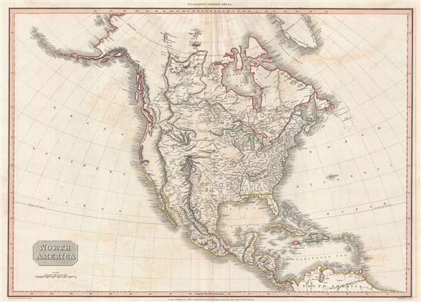
North America.
sold
- Digital Map Information
- Suitable for large format printing
- DPI: 300
- File Size: 18.57 MB
- File Type: ZIP / TIFF
- ICC color profile embedded
- Delivered instantly via download link
A scarce, beautiful, and exceptionally interesting example of John Pinkerton's stunning 1812 map of North America. The map covers all of North American, Central America, the Gulf of Mexico, and the Caribbean. It extends northwards as far as Greenland ... (more details)
Scarce 19th century map of central London printed on fine silk.

Gifford's Flexible Pocket Map of London, Divided into Half Mile Squares & Circles.
sold
- Digital Map Information
- Suitable for large format printing
- File Size: 26.79 MB
- File Type: ZIP / TIFF
- ICC color profile embedded
- Delivered instantly via download link
An exceptionally scarce item, this is Gifford's c. 1884 folding silk pocket map of London, England. The map is printed on fine silk - a novel innovation ideal for the traveler that offers greater durability over traditional paper maps. Centered on ... (more details)
Early pictorial map of London, England.
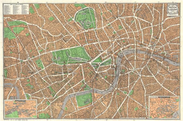
Geographia Pictoria Plan of London.
sold
- Digital Map Information
- Suitable for large format printing
- File Size: 26.7 MB
- File Type: ZIP / TIFF
- ICC color profile embedded
- Delivered instantly via download link
This is a wonderful map of pocket map of London and published c. 1924 by Geographia Ltd. Covers downtown London from the Hammersmith Bridge and Wormwood scrubs eastward past Hyde Park and Buckingham Place to Whitechapel Road and the London Docks. ... (more details)

Portsmouth Harbor New Hampshire.
sold
- Digital Map Information
- Suitable for large format printing
- File Size: 15.56 MB
- File Type: ZIP / TIFF
- ICC color profile embedded
- Delivered instantly via download link
A beautiful example of the U.S. Coast Survey's 1866 nautical chart or maritime map of Portsmouth Harbor, New Hampshire. This map covers the city of Portsmouth, New Hapshire, and its vicinity from Odiornes Point and Sagamore Creek to Chauncy's ... (more details)

Portland Harbor, Maine.
sold
- Digital Map Information
- Suitable for large format printing
- File Size: 28.97 MB
- File Type: ZIP / TIFF
- ICC color profile embedded
- Delivered instantly via download link
A beautiful example of the U.S. Coast Survey's 1866 nautical chart or maritime map of Portland Harbor, Maine. Centered on the city of Portland, this map covers from Westbrook to Long Island and from the mouth of the Presumpscot River to ... (more details)
Scarce first edition of this beautiful map of New York City.

New York.
sold
- Digital Map Information
- Suitable for large format printing
- DPI: 300
- File Size: 6.62 MB
- File Type: ZIP / TIFF
- ICC color profile embedded
- Delivered instantly via download link
A fine 1840 first edition example of the Society for the Diffusion of Useful Knowledge city plan or map of New York City. The map coves southern Manhattan from the Battery northwards to 42nd street as well as portions of adjacent Jersey ... (more details)
Scarce nautical chart of Table Bay, Cape Town, South Africa.

A Plan of Table Bay with the Road of th Cape of Good Hope, from the Dutch Survey Published by Joannes Van Keulen.
sold
- Digital Map Information
- Suitable for large format printing
- DPI: 300
- File Size: 16.3 MB
- File Type: ZIP / TIFF
- ICC color profile embedded
- Delivered instantly via download link
A scarce 1794 nautical chart or maritime map of the Table Bay, South Africa, by Robert Laurie and James Whittle. Oriented to the east, this stunning map of the Table Bay, South Africa, covers from Blue Hill to Table Mountain, including ... (more details)
The Sea of the West at its highest expression.

L'Amerique Septentrionale Divisee en ses Principaux Etats.
sold
- Digital Map Information
- Suitable for large format printing
- DPI: 300
- File Size: 9.02 MB
- File Type: ZIP / TIFF
- ICC color profile embedded
- Delivered instantly via download link
An altogether fascinating first edition example of Jean Janvier 1762 map of North America, including one of the most ambitions depictions of the Sea of the West in any map. The map covers the continent from Panama to the Arctic Circle, extends westward to include parts of Asia and eastward as far as Iceland. This map, which is heavily influenced by the theoretical mappings of Guillaume de l'Isle and Philippe Buache, went through several states of which this is the first and possibly the most interesting. Javier divides the continent according to the three colonial powers that controlled it, with England controlling the colonies along the east coast, France occupying Canada and Louisiana, and Spain dominating Mexico, Florida, Cuba and Central America. (more details)
An exemplar of mid-19th century French decorative map making.
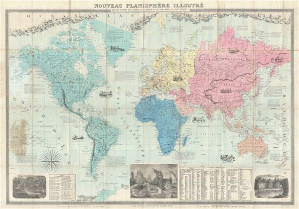
Nouveau Planisphere Illustre.
sold
- Digital Map Information
- Suitable for large format printing
- File Size: 53.81 MB
- File Type: ZIP / TIFF
- ICC color profile embedded
- Delivered instantly via download link
A fine example of Felix Delamarche and 1862 case map of the World. Drawn on a monumental scale, this incredible map covers the known world, from the Arctic Icecap to the just discovered Terres Australes (Antarctica). The map ... (more details)
Arabia the Happie.

The Great Desert of Arabia.
sold
- Digital Map Information
- Suitable for large format printing
- DPI: 300
- File Size: 6.45 MB
- File Type: ZIP / TIFF
- ICC color profile embedded
- Delivered instantly via download link
A fine example of William Hole's 1614 map of the Middle East issued for Sir Walter Raleigh's Historie of the World . The map covers from the Mediterranean and Cyprus to the Persian Gulf and from the Red Sea to Cappadocia. ... (more details)
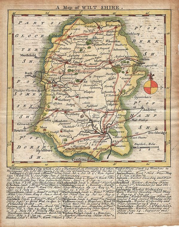
A Map of Wilt Shire.
sold
- Digital Map Information
- Suitable for large format printing
- DPI: 300
- File Size: 1.85 MB
- File Type: ZIP / TIFF
- ICC color profile embedded
- Delivered instantly via download link
This is a scarce 1749 example of Thomas Kitchin and Thomas Jefferys map of the County of Wiltshire, England. It features a detailed map of the County of Wilts or Wiltshire in elaborate detail including the city of ... (more details)

A Map of the Roads from London thro Oxford, Worchester &c. to Aberistwith. The Road from Bristol to Exeter.
sold
- Digital Map Information
- Suitable for large format printing
- DPI: 300
- File Size: 3.57 MB
- File Type: ZIP / TIFF
- ICC color profile embedded
- Delivered instantly via download link
This is a scarce 1765 example of the map of the roads from London to Aberystwyth and from Bristol to Exeter published in the Gentleman's Magazine. Essentially two maps on one sheet, features ten road strip maps ... (more details)
Loire Valley Muscadet Wine Region.
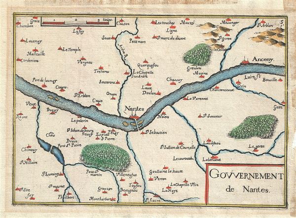
Gouvernement de Nantes.
sold
- Digital Map Information
- Suitable for large format printing
- DPI: 300
- File Size: 1.17 MB
- File Type: ZIP / TIFF
- ICC color profile embedded
- Delivered instantly via download link
This is a rare 1634 Melchior Tavernier map of Nantes, France. Centered on the Loire River, it covers part of the French department of Loire Inferieure, France (currently known as Loire-Atlantique) from Chambon ... (more details)
Burgundy Wine Region.
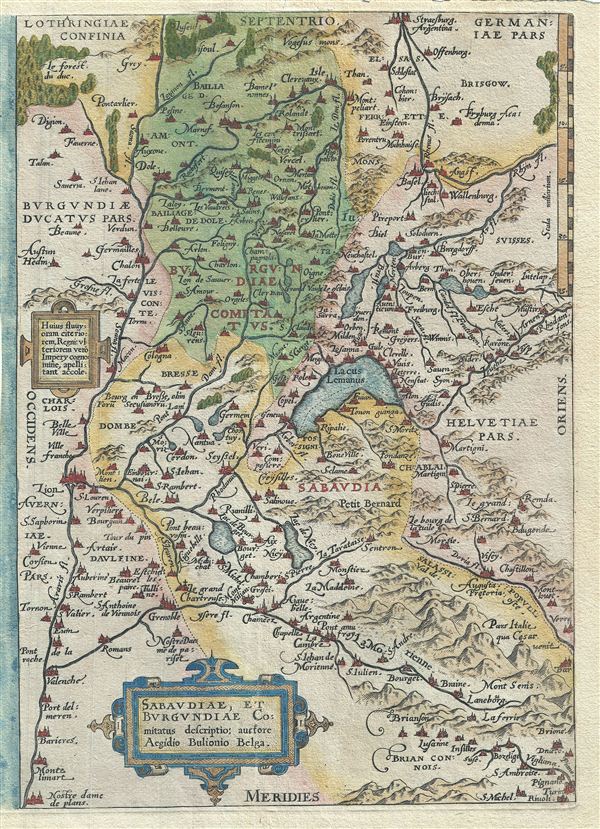
Sabaudiae, et Burgundiae Comitatus Descriptio.
sold
- Digital Map Information
- Suitable for large format printing
- DPI: 300
- File Size: 4.61 MB
- File Type: ZIP / TIFF
- ICC color profile embedded
- Delivered instantly via download link
This is a rare 1579 Abraham Ortelius map of Burgundy (Bourgogne), France. Centered on Lake Geneva, Ortelius' map covers from Lyon, France to La Chaux-de-Fonds, Switzerland and from Vesoul to Rivoli, Italy. ... (more details)
Maroilles Cheese Region.
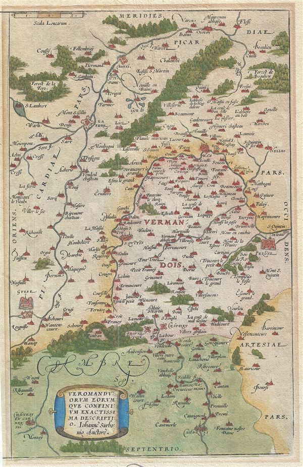
Veromanduorum Eorum Que Confinium Exactissima Descriptio.
sold
- Digital Map Information
- Suitable for large format printing
- DPI: 300
- File Size: 5.38 MB
- File Type: ZIP / TIFF
- ICC color profile embedded
- Delivered instantly via download link
This is a rare 1579 Abraham Ortelius map Oise, Picardy, Francy. Oriented to the South and centered on Saint Quentin, the map covers from Cambrai to Noyon (Noviomagus Veromanduorum) and from Guise to ... (more details)
Southern Rhone wine region.

Galliae Narbonensis Ora Marittima Recenter Descripta.
sold
- Digital Map Information
- Suitable for large format printing
- DPI: 300
- File Size: 4.88 MB
- File Type: ZIP / TIFF
- ICC color profile embedded
- Delivered instantly via download link
This is a rare 1579 Abraham Ortelius map of the coast of Provence, France. Oriented to the west, this map covers the coastline from Narbonne to Marseille. Vaucluse (marked here just north of ... (more details)

Caletensium et Bononiensium Ditionis Accurata Delinatio.
sold
- Digital Map Information
- Suitable for large format printing
- DPI: 300
- File Size: 5.83 MB
- File Type: ZIP / TIFF
- ICC color profile embedded
- Delivered instantly via download link
This is a rare 1579 Abraham Ortelius map of the French department of Pas-de-Calais. It covers the French and Belgian coastline from Estables to Calais. This area is known for producing ... (more details)
Scarce map of New Hampshire printed in Nashua to illustrate the state's railroad driven industrial boom.
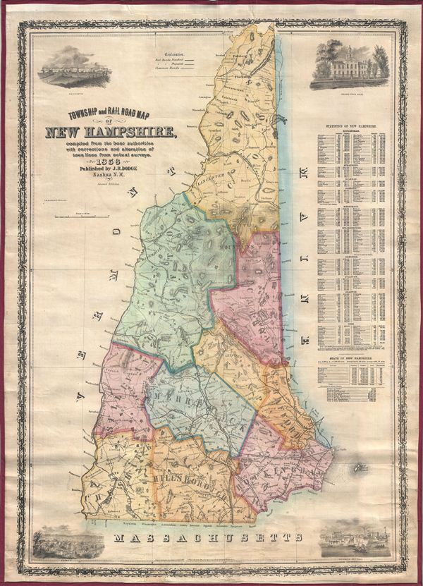
Township and Rail Road Map of New Hampshire, compiled from the best authorities with corrections and alteration of town lines from actual surveys, 1856.
sold
- Digital Map Information
- Suitable for large format printing
- File Size: 30.47 MB
- File Type: ZIP / TIFF
- ICC color profile embedded
- Delivered instantly via download link
A scarce separately issued map of New Hampshire published by J. R. Dodge in 1856. This map is one of the few maps of New Hampshire actually published in New Hampshire, in this case ... (more details)