
Meyer, Joseph (sold)
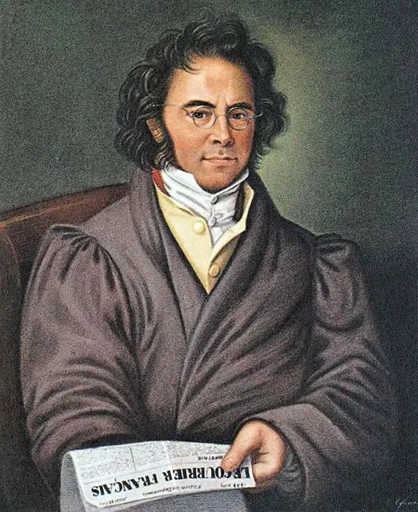
Joseph Meyer (May 9, 1796 - June 27, 1856) was a German industrialist, merchant, and publisher, active in Germany in the early to mid 19th century. He is best known for publishing the encyclopedia Meyers Conversation-Lexicon. Born in Gotha, Germany, Meyer was educated as a merchant in Frankfurt am Main. He moved to London in 1816, but returned to Germany in 1820 after his stock speculations and business adventures fell through. Once back in Germany, he began by investing in the textile trade (1820 - 24). Meyer began creating business plans concerning how to start railways soon after the first steam-hauled railway began operation in December 1835. He founded the Deutsche Eisenbahnschienen-Compangie auf Actien (German Railway Rail joint stock company) in 1845. Meyer also found great success as a publisher, utilizing the system of serial subscriptions to publications, a new idea for the time. He founded a company, Bibliographisches Institut in Gotha in 1825, which published several versions of the Bible, works of classical literature, atlases, the world in pictures on steel engravings, and an encyclopedia. He moved the Institut from Gotha to Hildburghausen in 1828. He published several atlases, including Meyer's Groẞer Hand-Atlas (1843 - 1860). In 1848, he supported the Springtime of the Peoples Revolutions that took place throughout Germany and much of Europe. When the revolutions failed in 1849, Meyer was briefly imprisoned for his support of revolutionary activities. The revolutions also began to take a toll on Meyer's business interests, and when he died, in 1856, the Bibliographisches Institut was struggling financially. His son, Herrmann Julius Meyer, took over the firm, spearheading a rapid recovery. This, and other businesses prospered under Herrmann Julius (April 4, 1826 - March 12, 1909) and when he died in 1909, he led the richest family in Saxony, with more total wealth than the King of Saxony
One of the earliest maps of Florida as a state. Second Interbellum.
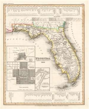
Florida. Nach en besten Quellen bearbeitet 1845.
sold
- Digital Map Information
- Suitable for large format printing
- DPI: 600
- File Size: 11.37 MB
- File Type: ZIP / TIFF
- ICC color profile embedded
- Delivered instantly via download link
This is a first edition 1845 Joseph Meyer map of Florida. Granted statehood on March 3, 1845, this map likely ranks among the first published maps of Florida as a state. Derived from maps by David Tanner, this map illustrates Florida early in its statehood during the Second Interbellum, a period of relative peace between the Second and Third Seminole Wars. Cities and counties throughout are labeled, along with both the Arredondo and Miranda land grants. In addition to Arredondo's famous large grant in central Florida, a secondary Arredondo holding is noted near modern day Fort Meyers. Tables along the top border chronicle four steamship routes, and another three are included along the bottom border. Inset maps in the lower left quadrant detail Saint Augustine, Tallahassee, and Pensacola. (more details)
Independent Republic of Texas - and other disputes.
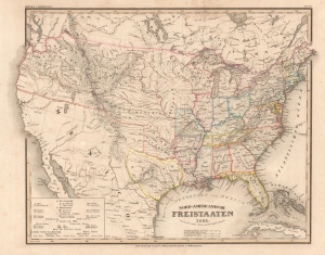
Nord-Americanische Freistaaten.
sold
- Digital Map Information
- Suitable for large format printing
- File Size: 11.33 MB
- File Type: ZIP / TIFF
- ICC color profile embedded
- Delivered instantly via download link
This is an 1845 Joseph Meyer and Carl Radefeld map of the United States and a pre-annexation Republic of Texas leading up to the Mexican-American War (1846 - 1848). The map additionally highlights border disputes between the United States and British Canada - the '54-40 or Fight' dispute and the Aroostook War. An index in the lower left identifies the Slave States, thus underscoring rising tensions between North and South. The map is also interesting for the term 'Fristaaten', a German word meaning 'Free States', not a common name for the United States, but one deep with meaning in Germany. 'Fristaaten' typically referred to German states, like Bavaria and Saxony, which were republics independent of monarchial rule. In the lead-up to the Revolutions of 1848, this term would have had great meaning for Meyer's German audience, setting up the United States as a republican ideal. (more details)
On the eve of the Mexican-American War.
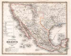
Neueste Karte von Mexico.
sold
- Digital Map Information
- Suitable for large format printing
- Full resolution TIFF file
- ICC color profile embedded
- Delivered instantly via download link
This is an 1845 Carl Radefeld map of Mexico and the Republic of Texas. Published on the eve of the Mexican-American War (1846 - 1848), Mexico stretches from Oregon to Guatemala, the border of the 1819 Adams-Onís Treaty. The Republic of Texas appears in one of its smallest border configurations, suggesting that the German cartographers were sympathetic to Mexico's arguments about Texas's rightful borders and not the more expansive borders advocated by Texans. Rivers are labeled throughout, including the Colorado, Nueces, and Rio Grande. Two mythical rivers, the Buenaventura and Francisco, are also identified, and two great salt lakes illustrated. San Antonio, Santa Fe, Albuquerque, Mexico City, and Veracruz are named, along with numerous other cities and towns. Mexican states are labeled using Roman numerals corresponding with an index along the left border. (more details)
The aftermath of the Opium War.
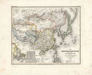
Chinesische Reich mit seinen Schutzstaaten nebst dem Japanischen Inselreiche.
sold
- Digital Map Information
- Suitable for large format printing
- DPI: 600
- File Size: 34.31 MB
- File Type: ZIP / TIFF
- ICC color profile embedded
- Delivered instantly via download link
Here is Carl Radefeld's attractive 1846 map of East Asia, produced for Meyer's Grosser Hand-Atlas. It depicts the region in the wake of the Opium War (1839-1842), when the momentous changes initiated by that conflict had just begun and were not yet fully understood. (more details)
The origins of the Great Game.
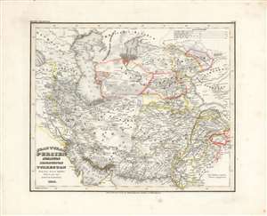
Jran, Turan, Persien, Afghanistan, Beludschistan, Turkestan.
sold
- Digital Map Information
- Suitable for large format printing
- DPI: 600
- File Size: 31.34 MB
- File Type: ZIP / TIFF
- ICC color profile embedded
- Delivered instantly via download link
This is Carl Radefeld's appealingly hand-colored 1846 map of the Middle East and Central Asia, produced for Meyer's Grosser Hand-Atlas. It depicts the region as both British and Russian influence were increasing, setting off the 'Great Game' competition between the two empires. (more details)
Last days of the Republic of Texas. Unique configuration!
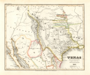
Texas nach den besten Quellen entw. u. gez. vom Hauptm. Radefeld.
sold
- Digital Map Information
- Suitable for large format printing
- File Size: 8.87 MB
- File Type: ZIP / TIFF
- ICC color profile embedded
- Delivered instantly via download link
An important 1846 first edition of Joseph Meyer and Carl Christian Franz Radefeld's map of the Republic of Texas in its final days, just before joining the United States. This map was issued shortly before the outbreak of the Mexican-American War (1846 - 1848) and, as such, constitutes the fullest expression of independent Texas, including a unique configuration incorporating New Orleans. Texas was of great interest to Meyer's primarily German audience, to whom immigration was actively promoted through a number of Texas-booster societies, some of which were legitimate and others which were outright cons. (more details)
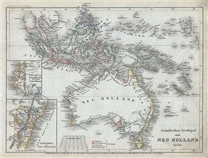
Asiatische Archipel und Neu Holland.
sold
- Digital Map Information
- Suitable for large format printing
- Full resolution TIFF file
- ICC color profile embedded
- Delivered instantly via download link
This is a fine example of Joseph Meyer's 1849 map of Australia and the East India Islands. It covers from the Malay Peninsula to New Caledonia, including Australia, Malaysia, Indonesia, Philippines, Papua New Guinea and Melanesia. An interesting map issued just ... (more details)
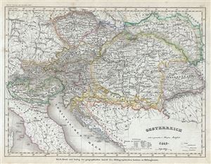
Oesterreich.
sold
- Digital Map Information
- Suitable for large format printing
- Full resolution TIFF file
- ICC color profile embedded
- Delivered instantly via download link
This is an attractive 1849 map of Austria by Joseph Meyer. It covers the territories claimed by the once vast Austrian Empire, including in whole or part the modern day nations of Austria, Hungary, Italy, Germany, Albania, Croatia, Romania and the Czech ... (more details)
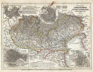
Osterreich: Lombardisch-Venetianisches Konigreich.
sold
- Digital Map Information
- Suitable for large format printing
- Full resolution TIFF file
- ICC color profile embedded
- Delivered instantly via download link
This is a fine 1849 map by Joseph Meyer depicting the Kingdom of Lombardy-Venetia. It covers the north Italian territories of Lombardy and Venetia, merged together and ruled by the House of Habsburg-Lorraine, from Lake Maggiore to the Gulf of Trieste ... (more details)
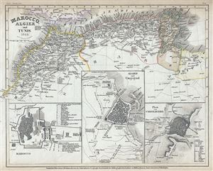
Marocco, Algier and Tunis.
sold
- Digital Map Information
- Suitable for large format printing
- Full resolution TIFF file
- ICC color profile embedded
- Delivered instantly via download link
This is a fine 1849 map of the Barbary Coast by Joseph Meyer. It covers the northern Africa and the western Mediterranean Coast of Africa from Morocco to Tripoli, including modern day Morocco, Algeria, Tunisia and parts of Libya. Numerous cities, ... (more details)
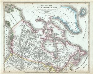
Britisches Nord-America.
sold
- Digital Map Information
- Suitable for large format printing
- Full resolution TIFF file
- ICC color profile embedded
- Delivered instantly via download link
This is a beautiful 1849 example of Joseph Meyer's map of modern day Canada, or more specifically, British North America. The map covers the continent from modern day Alaska (Russian America) to Greenland (Danish America), and from the U.S border ... (more details)
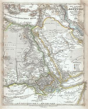
Die Laender des Pascha von Egypten Aeypten Nubien, Arabien, Darfur, Candia, Cordofan, Syrien nebst den District Adana.
sold
- Digital Map Information
- Suitable for large format printing
- Full resolution TIFF file
- ICC color profile embedded
- Delivered instantly via download link
This is an attractive 1849 map of Egypt and Arabia by Joseph Meyer. It covers from Greece and the Aegean Islands south as far as modern day Ethiopia and east as far as the Quatar. The map is color coded to show Egyptian, Turkish, Persian, Greek ... (more details)
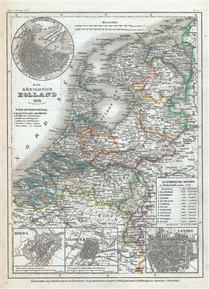
Das Konigreich Holland.
sold
- Digital Map Information
- Suitable for large format printing
- Full resolution TIFF file
- ICC color profile embedded
- Delivered instantly via download link
This is a lovely 1849 map of Holland or the Netherlands by Joseph Meyer. It covers the Kingdom of Netherlands, commonly referred to as Holland, from the North Sea to Belgium and the Grand Duchy of the Lower Rhine. The top left quadrant of the ... (more details)
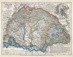
Ungarn und Siebenburgen.
sold
- Digital Map Information
- Suitable for large format printing
- Full resolution TIFF file
- ICC color profile embedded
- Delivered instantly via download link
This is a scarce 1849 map of Hungary and Transylvania (Romania) by Joseph Meyer. It includes the modern day nations of Hungary, Romania, Slovakia, Croatia and Serbia. Throughout, the map identifies numerous cities, towns, rivers, mountains ... (more details)
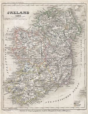
Jreland.
sold
- Digital Map Information
- Suitable for large format printing
- Full resolution TIFF file
- ICC color profile embedded
- Delivered instantly via download link
This is a fine 1849 map of Ireland by Joseph Meyer. The map shows all of Ireland divided by county. It covers from Donegal in the north to Cork in the south. After the Norman Invasion the old provincial structure was supplemented with ... (more details)
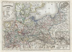
Preussen.
sold
- Digital Map Information
- Suitable for large format printing
- Full resolution TIFF file
- ICC color profile embedded
- Delivered instantly via download link
This is an uncommon example of Joseph Meyer's 1849 map of Prussia, Germany. Covers the German states from the border with Holland and Belgium eastward as far as Poland and Russia; and extends south to include Bavaria. Throughout, the ... (more details)
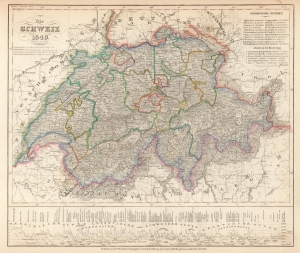
Dis Schweiz.
sold
- Digital Map Information
- Suitable for large format printing
- File Size: 5.05 MB
- File Type: ZIP / TIFF
- ICC color profile embedded
- Delivered instantly via download link
This is a fine 1849 map of Switzerland by Joseph Meyer. It covers the entire country and shows the division by Cantons from Vaud to Grisons. Also shows parts of adjacent France, Germany, and Italy. Throughout, the map identifies ... (more details)
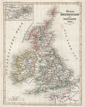
Gross. Britanien und Ireland.
sold
- Digital Map Information
- Suitable for large format printing
- Full resolution TIFF file
- ICC color profile embedded
- Delivered instantly via download link
This is a fine map of Great Britain and Ireland or the British Isles by Joseph Meyer dating to 1849. It includes England, Scotland, Wales and Ireland and covers from the Shetland Islands to the English Channel. This map notes ... (more details)
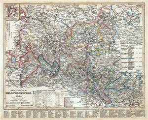
Herzogthum Braunschweig.
sold
- Digital Map Information
- Suitable for large format printing
- Full resolution TIFF file
- ICC color profile embedded
- Delivered instantly via download link
This is a fine 1849 example of Joseph Meyer's map of the Duchy of Brunswick, Germany. It covers the historic German state from Gardelegen to Blomberg and south as far as Nordhausen. Throughout the map identifies various ... (more details)
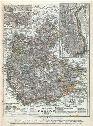
Herzogthum Nassau.
sold
- Digital Map Information
- Suitable for large format printing
- Full resolution TIFF file
- ICC color profile embedded
- Delivered instantly via download link
This is an attractive 1849 map of the Duchy of Nassau by Joseph Meyer. It covers from Bad Berleburg south to Mainz and from Koblenz east as far as Hanau. An inset of the Rhine River in included in the top right quadrant ... (more details)
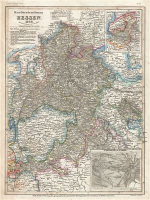
Kurfurstentum Hessen.
sold
- Digital Map Information
- Suitable for large format printing
- Full resolution TIFF file
- ICC color profile embedded
- Delivered instantly via download link
This is a scarce 1849 map of the Electorate of Hesse or Hesse-Kassel, by Joseph Meyer. It covers the modern day German state of Hesse and vicinity from Einbeck south to Frankfurt and east as far as Gotha. Throughout the ... (more details)
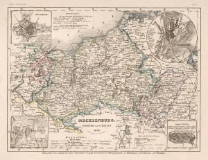
Mecklenburg Schwerin und Strelitz.
sold
- Digital Map Information
- Suitable for large format printing
- File Size: 8.08 MB
- File Type: ZIP / TIFF
- ICC color profile embedded
- Delivered instantly via download link
This is a scarce 1849 map of the Grand Duchy of Mecklenburg-Strelitz and the Grand Duchy of Mecklenburg-Schwerin by Joseph Meyer. It covers the two territories of the House of Mecklenburg from the Baltic Sea south as far ... (more details)
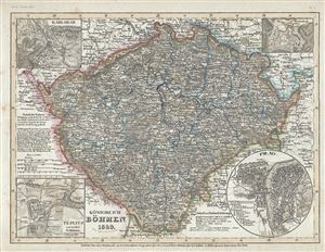
Konigreich Bohem.
sold
- Digital Map Information
- Suitable for large format printing
- Full resolution TIFF file
- ICC color profile embedded
- Delivered instantly via download link
This is a beautiful 1852 map of the Kingdom of Bohemia (Czech Republic) by Joseph Meyer. It covers the territory claimed by the modern day Czech Republic, noting major towns, cities, rivers, mountains and other ... (more details)
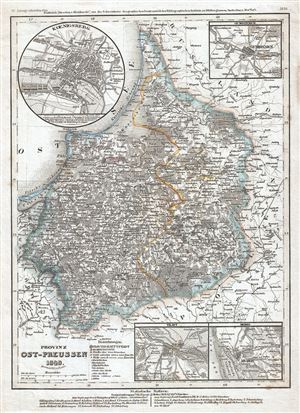
Provinz Ost-Preussen.
sold
- Digital Map Information
- Suitable for large format printing
- Full resolution TIFF file
- ICC color profile embedded
- Delivered instantly via download link
This is an uncommon example of Joseph Meyer's 1849 map of the province of East-Prussia, Poland. It covers from Klaipeda to Elblag. Throughout the map identifies various cities, towns, rivers and an assortment ... (more details)
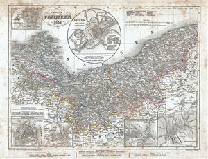
Provinz Pommern.
sold
- Digital Map Information
- Suitable for large format printing
- Full resolution TIFF file
- ICC color profile embedded
- Delivered instantly via download link
This is a scarce 1849 map of the Province of Pomerania by Joseph Meyer. It covers from Stralsund in modern day Germany east as far as Puck Bay and in Poland. Throughout the map identifies various cities, ... (more details)
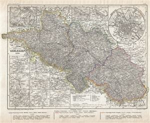
Provinz Schlesien.
sold
- Digital Map Information
- Suitable for large format printing
- Full resolution TIFF file
- ICC color profile embedded
- Delivered instantly via download link
This is a fine 1849 map of the Province of Silesia by Joseph Meyer. It covers the Prussian province from Bautzen, Germany to Krakow, Poland. Throughout the map identifies various cities, towns, rivers ... (more details)
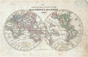
Die Oestliche und Westliche Halbkugel der Erde.
sold
- Digital Map Information
- Suitable for large format printing
- Full resolution TIFF file
- ICC color profile embedded
- Delivered instantly via download link
This is a fine 1849 map of the world depicted in hemispheres by Joseph Meyer. Both the Western and Eastern Hemispheres are drawn and offer a fascinating snapshot of the world during a period of rapid ... (more details)
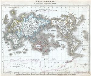
Welt-Charte in Mercators Projection.
sold
- Digital Map Information
- Suitable for large format printing
- Full resolution TIFF file
- ICC color profile embedded
- Delivered instantly via download link
This is an excellent example of the 1849 map of the world on Mercator's projection by Joseph Meyer. Meyer offers a fascinating snapshot of the world during a period of rapid globalization and ... (more details)
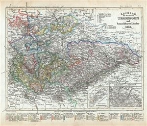
Sachsen, die Staaten in Thuringen und benachbarte Lander.
sold
- Digital Map Information
- Suitable for large format printing
- Full resolution TIFF file
- ICC color profile embedded
- Delivered instantly via download link
This is a scarce 1849 map of Saxony, the States of Thuringia and neighboring countries by Joseph Meyer. It covers the region from Magdeburg south to Bamberg and from Gottingen east as far as ... (more details)
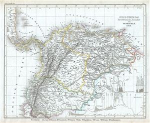
(Columbia) Neu Granada, Ecuador und Venezuela.
sold
- Digital Map Information
- Suitable for large format printing
- Full resolution TIFF file
- ICC color profile embedded
- Delivered instantly via download link
This is an appealing 1849 map of Venezuela, New Granada (Colombia) and Ecuador. It covers from the Pacific to Guyana and from Peru to the Caribbean, including Panama. The lower right ... (more details)
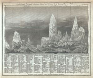
Vergleichende Ubersicht bekannter Hohen und Orte der Erde uber der Meeres-Flache.
sold
- Digital Map Information
- Suitable for large format printing
- Full resolution TIFF file
- ICC color profile embedded
- Delivered instantly via download link
This is an interesting c.1850 comparative chart of the world's mountains by Joseph Meyer. It identifies some 400 mountains drawn in proximity to one another and subdivided by ... (more details)
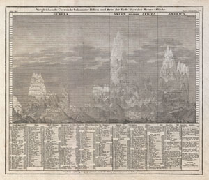
Vergleichende Übersicht bekannter Höhen und Orte der Erde über der Meeres-Fläche
sold
- Digital Map Information
- Suitable for large format printing
- DPI: 300
- File Size: 5.16 MB
- File Type: ZIP / TIFF
- ICC color profile embedded
- Delivered instantly via download link
An interesting c. 1850 German take on the comparative mountains chart by Joseph Meyer. Identifies some 400 mountains drawn in proximity to one another and subdivided by ... (more details)
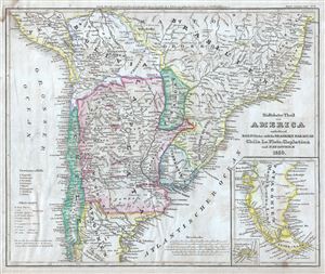
Sudlichster Theil von America enthaltend Bolivia, das sudliche Brasilien, Paraguay, Chile, La Plata, Cisplatina und Patagonien.
sold
- Digital Map Information
- Suitable for large format printing
- Full resolution TIFF file
- ICC color profile embedded
- Delivered instantly via download link
This is a fine 1850 map by Joseph Meyer depicting Chile, Argentina (La Plata, including parts of Patagonia), Paraguay, Uruguay (Cisplatin), Bolivia and parts of Peru, and ... (more details)
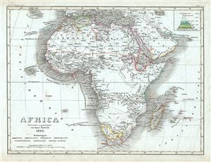
Africa.
sold
- Digital Map Information
- Suitable for large format printing
- Full resolution TIFF file
- ICC color profile embedded
- Delivered instantly via download link
This is a fine map of Africa by Joseph Meyer dating to 1850. It covers the entire continent from the Mediterranean Sea to Cape Town, including Madagascar on the cusp of ... (more details)
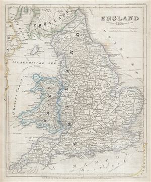
England.
sold
- Digital Map Information
- Suitable for large format printing
- Full resolution TIFF file
- ICC color profile embedded
- Delivered instantly via download link
This is a fine 1850 map of England by Joseph Meyer. It covers both England and Wales from Northumberland to Cornwall and from the St. George's Channel east as far as ... (more details)
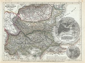
Europ. Turkei: Rumelien, Bulgarien und Walachei.
sold
- Digital Map Information
- Suitable for large format printing
- Full resolution TIFF file
- ICC color profile embedded
- Delivered instantly via download link
This is a scarce 1850 Joseph Meyer map of the Balkan region in Europe. This map, made when the Ottoman Empire controlled much of the region, covers the modern day ... (more details)
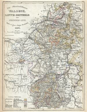
Die Furstentumer: Waldeck, Lippe-Detmold und Schauenburg-Lippe.
sold
- Digital Map Information
- Suitable for large format printing
- Full resolution TIFF file
- ICC color profile embedded
- Delivered instantly via download link
This is a fine example of the 1850 map by Joseph Meyer depicting the Principalities of Waldeck, Lippe-Detmold and Schaumburg-Lippe, Germany. It covers the ... (more details)
Der Freistaat.
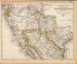
Vereinigte Staaten von Nord-America: Californien, Texas und die Territorien New Mexico u. Utah.
sold
- Digital Map Information
- Suitable for large format printing
- Full resolution TIFF file
- ICC color profile embedded
- Delivered instantly via download link
An uncommon and under-appreciated 1852 map of the American southwest and northern Mexico by Joseph Grassl and Joseph Meyer. It is most notable for its anachronistic and unusual presentation the borders of New Mexico and other cartographic oddities. (more details)
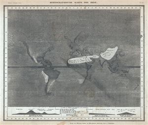
Hyetographische Karte der Erde.
sold
- Digital Map Information
- Suitable for large format printing
- Full resolution TIFF file
- ICC color profile embedded
- Delivered instantly via download link
This is a scarce 1852 hydrology map or chart of the world by Joseph Meyer. It depicts the precipitation throughout the world with darker areas are regions ... (more details)
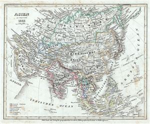
Asien.
sold
- Digital Map Information
- Suitable for large format printing
- DPI: 600
- File Size: 5.6 MB
- File Type: ZIP / TIFF
- ICC color profile embedded
- Delivered instantly via download link
This is a fine example of Joseph Meyer's 1852 map of Asia. It covers the entire continent from the Mediterranean Sea to the North Pacific Ocean, including ... (more details)
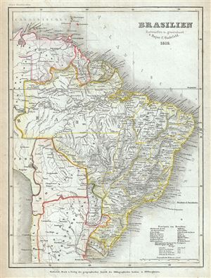
Brasilien.
sold
- Digital Map Information
- Suitable for large format printing
- Full resolution TIFF file
- ICC color profile embedded
- Delivered instantly via download link
This is a fine 1852 map of Brazil by Joseph Meyer. It covers from Venezuela to Uruguay and from the Amazon basin to the Atlantic. Includes Brazil, ... (more details)
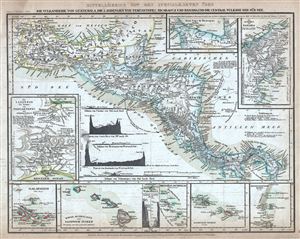
Mittelamerica Mit Den Specialkarten Uber Die Vulkanreihe Von Guatemala, Die Landengen Von Tehuantepec, Nicaragua Und Panama, Und Die Central-Vulkane Der Sud-See.
sold
- Digital Map Information
- Suitable for large format printing
- Full resolution TIFF file
- ICC color profile embedded
- Delivered instantly via download link
This is an attractive 1852 map of Central America by Joseph Meyer. It covers from the Yucatan and the Gulf of Mexico south as far as Panama. It ... (more details)
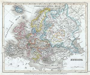
Europa.
sold
- Digital Map Information
- Suitable for large format printing
- Full resolution TIFF file
- ICC color profile embedded
- Delivered instantly via download link
This is a fine example of the 1852 map of Europe by Joseph Meyer. It covers the continent in its entirety from the Atlantic to the Caspian Sea ... (more details)
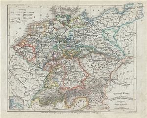
General Karte von Deutschland.
sold
- Digital Map Information
- Suitable for large format printing
- Full resolution TIFF file
- ICC color profile embedded
- Delivered instantly via download link
This is a beautiful 1852 map of Germany and Prussia. It covers Central Europe and the German states including the Holland, Belgium, Prussia, ... (more details)
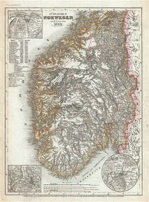
Sudliches Norwegen.
sold
- Digital Map Information
- Suitable for large format printing
- Full resolution TIFF file
- ICC color profile embedded
- Delivered instantly via download link
This is a scarce 1852 map of southern Norway by Joseph Meyer. It covers Norway from Levanger in Nord-Trondelag south to the North Sea and ... (more details)
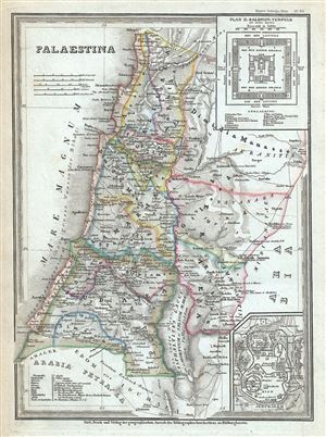
Palaestina.
sold
- Digital Map Information
- Suitable for large format printing
- Full resolution TIFF file
- ICC color profile embedded
- Delivered instantly via download link
This is an attractive 1852 map of Palestine, Israel or the Holy Land, by Joseph Meyer. This map is a curious combination of a ... (more details)
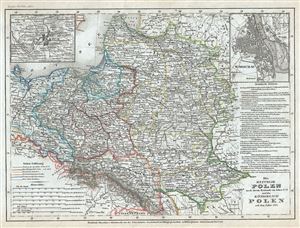
Die Republik Polen nach ihrem Bestande im Jahre 1772 und das Konigreich Polen seit dem Jahre 1815.
sold
- Digital Map Information
- Suitable for large format printing
- Full resolution TIFF file
- ICC color profile embedded
- Delivered instantly via download link
This is a scarce 1852 map of Poland and Lithuania by Joseph Meyer. It covers in whole or part of the modern day nations of ... (more details)
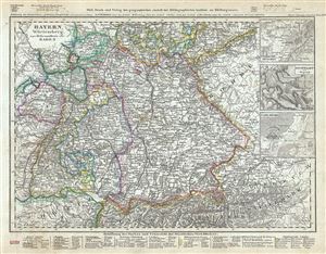
Bayern, Wurtemberg, beyde Hohenzollern und Baden.
sold
- Digital Map Information
- Suitable for large format printing
- Full resolution TIFF file
- ICC color profile embedded
- Delivered instantly via download link
This is a beautiful map of southern Germany including Bavaria, Wurttemberg and Baden by Joseph Meyer. It covers Germany ... (more details)
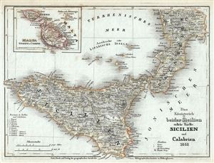
Das Konigreich beider Sicilien sudliche Haelfte: Sicilien und Calabrien
sold
- Digital Map Information
- Suitable for large format printing
- Full resolution TIFF file
- ICC color profile embedded
- Delivered instantly via download link
This is a nice example of Joseph Meyer's 1852 map of southern Italy. It covers the southern part of the Kingdom of ... (more details)
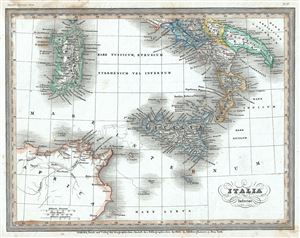
Italia Inferior.
sold
- Digital Map Information
- Suitable for large format printing
- Full resolution TIFF file
- ICC color profile embedded
- Delivered instantly via download link
This is a fine 1852 Joseph Meyer map of southern Italy during ancient Roman times. It covers the southern part of ... (more details)