
NEW ACQUISITIONS
Follow the route of the missionaries.
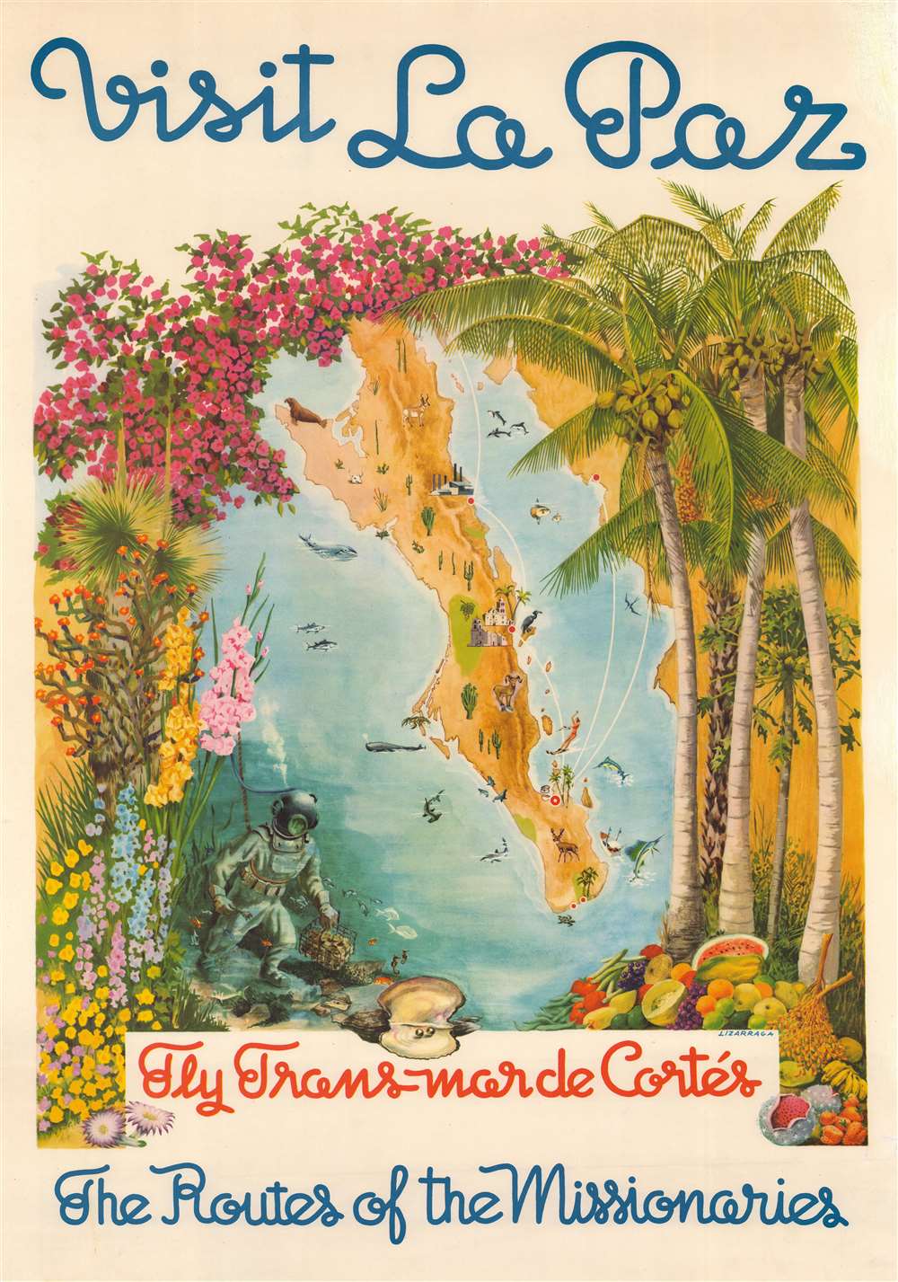
Visit La Paz, Fly Trans Mar de Cortes, The Routes of the Missionaries.
$1,500.00
Acquire
- Digital Map Information
- Suitable for large format printing
- File Size: 135.73 MB
- File Type: ZIP / TIFF
- ICC color profile embedded
- Delivered instantly via download link
This is a beautiful c. 1950 map of Baja California, Mexico, advertises Trans Mar de Cortes Airlines. It promotes the peninsula's attractions, especially the city of La Paz, and repeats the airline's slogan that passengers will follow 'the routes of the missionaries.' (more details)
Transitional state of H.S. Tanner's Kentucky and Tennessee.
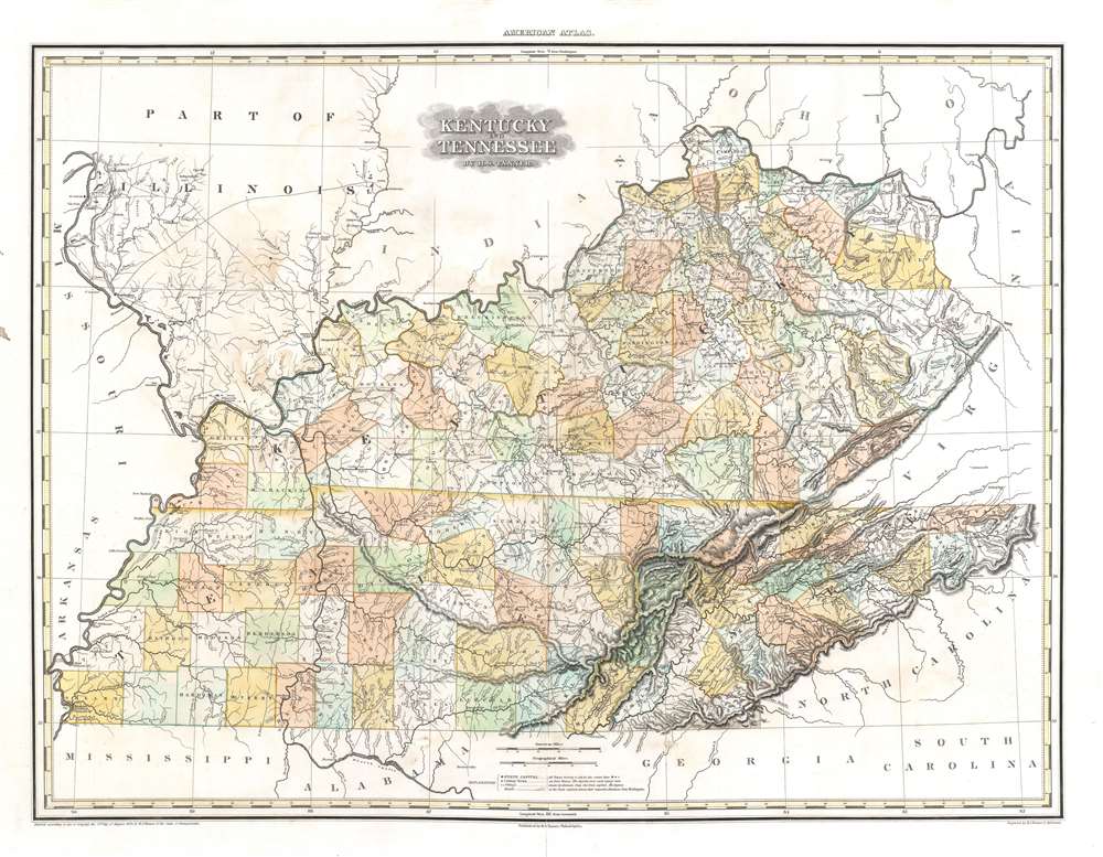
Kentucky and Tennessee by H. S. Tanner.
$1,500.00
Acquire
- Digital Map Information
- Suitable for large format printing
- DPI: 600
- File Size: 28.2 MB
- File Type: ZIP / TIFF
- ICC color profile embedded
- Delivered instantly via download link
This is a rare transitional state of Henry S. Tanner's 1823 map of Kentucky and Tennessee. The map captures the creation of Wood Lake following the New Madrid Earthquakes. (more details)
Proposed Territories of Colona and Shoshone.
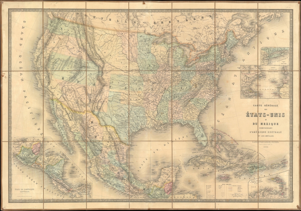
Carte Générale des États-Unis et du Mexique comprenant l'Amérique Centrale et les Antilles.
$1,200.00
Acquire
- Digital Map Information
- Suitable for large format printing
- File Size: 66.34 MB
- File Type: ZIP / TIFF
- ICC color profile embedded
- Delivered instantly via download link
This is an 1862 Eugène Andriveau-Goujon and Alexandre Vuillemin map of the United States and Mexico - illustrating the ephemeral proto-territories of Colona and Shoshone. The map depicts from the Pacific to the Atlantic and from southern Canada (Nouvelle Bretagne) to Honduras. (more details)
Primary artery of the Russian Civil War.
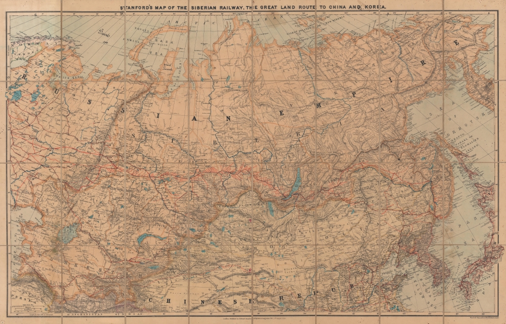
Stanford's Map of the Siberian Railway, the Great Land Route to China and Korea.
$1,200.00
Acquire
- Digital Map Information
- Suitable for large format printing
- Full resolution TIFF file
- ICC color profile embedded
- Delivered instantly via download link
This is a 1919 Edward Stanford map of Russia and the Trans-Siberian Railway - issued at the height of the Russian Civil War. Red lines, with major stops noted, highlight the extraordinary achievement of Russian railway engineers. The completion of a railway network across the world's largest continent opened Siberia to settlement, brought Russian influence to China, led to the Russo-Japanese War (1904 - 1905), and influenced the outcome of the Russian Civil War (1917 - 1920). (more details)
Depicts the Argentine railroad boom.
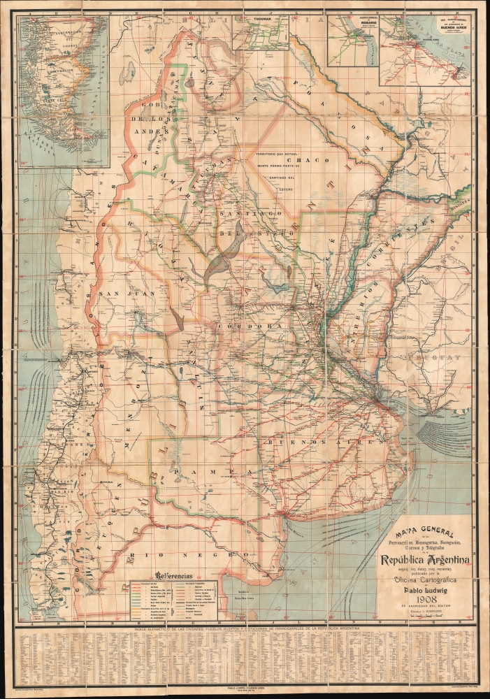
Mapa General de los Ferrocarriles, Mensagerias, Navegación, Correos y Telégrafos de la República Argentina.
$950.00
Acquire
- Digital Map Information
- Suitable for large format printing
- File Size: 109.38 MB
- File Type: ZIP / TIFF
- ICC color profile embedded
- Delivered instantly via download link
This is a 1908 Pablo Ludwig map of Argentina's railroad system. The map illustrates a period of prosperity and growth in Argentina that led to a massive expansion of the national railroad network. (more details)
Pre-WWII trade war for vital South American resources.
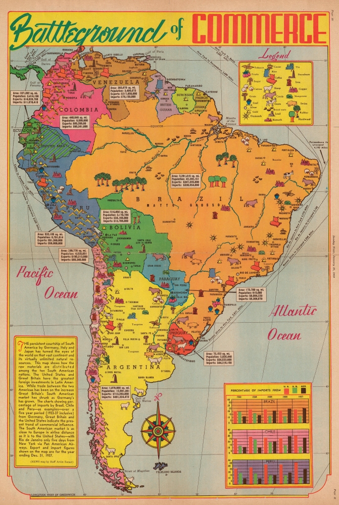
Battleground of Commerce.
$450.00
Acquire
- Digital Map Information
- Suitable for large format printing
- File Size: 30.88 MB
- File Type: ZIP / TIFF
- ICC color profile embedded
- Delivered instantly via download link
This is a 1939 Jack Romer pictorial resource map of South America, published eight months before the outbreak of World War II (1939 - 1945). The map highlights the decline in British trade and the corresponding rise in German trade through South America. Romar focuses on this growing trade imbalance and emphasizes the significance of South America's resources in the impending war - this was, after all, the world's primary source of rubber, an essential raw material in modern mechanized militaries. (more details)
Scarce Wartime Edition of Homann's Map of Southern Central Europe.
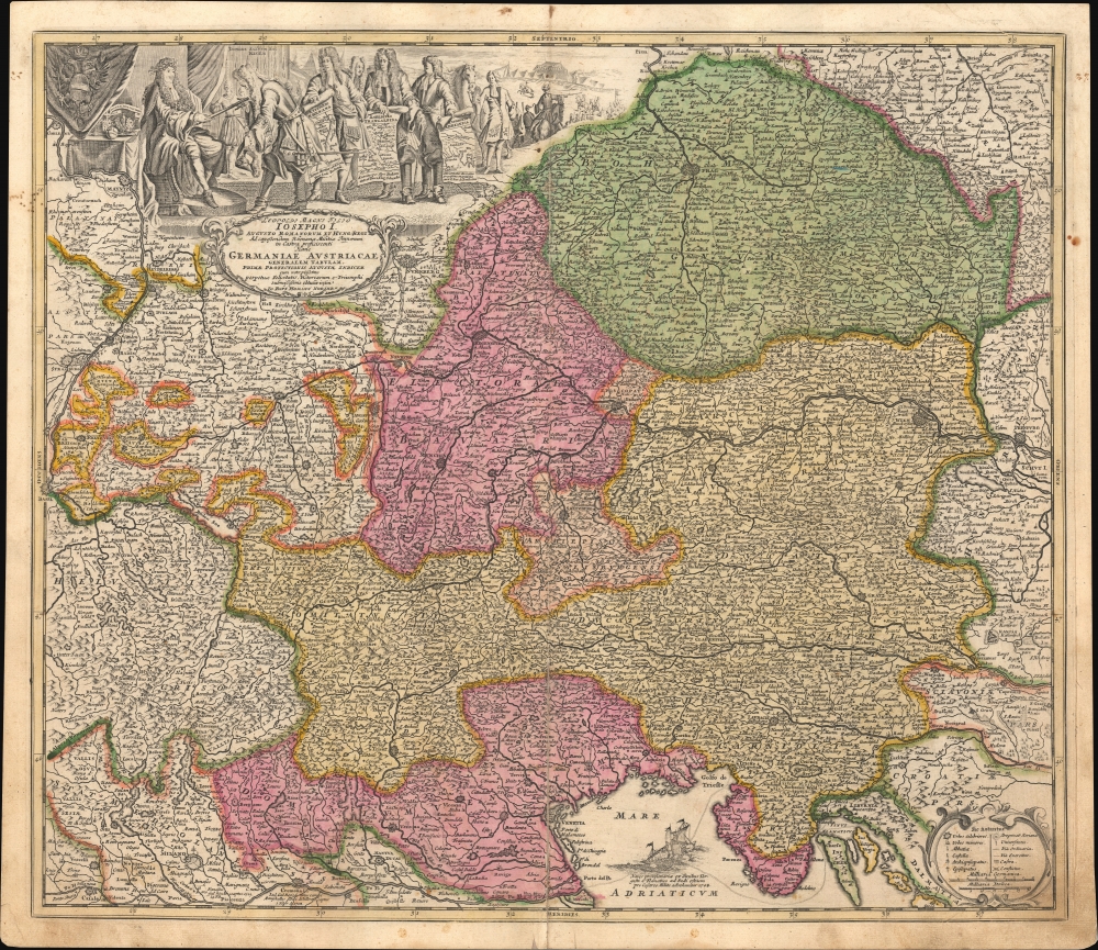
Leopoldi Magni Filio Iosepho I. Augusto Romanorum et Hung: Regi Ad capeßendum Rhenanae Militiae Imperium in Castra proficiscenti Hanc Germaniae Austriacae Generalem Tabulam...
$450.00
Acquire
- Digital Map Information
- Suitable for large format printing
- File Size: 542.52 MB
- File Type: ZIP / TIFF
- ICC color profile embedded
- Delivered instantly via download link
This is a c. 1710 Johann Baptist Homann map of southern Germany, Austria, and environs, produced for his Neuer Atlas. It is essentially wartime propaganda, celebrating the victories of the Habsburgs and their allies in the War of the Spanish Succession and supporting the Holy Roman Emperor Joseph I (r. 1705 - 1711). (more details)
Distances between cities.

Poliometria Germaniae ac Finitmorum Quorundam Locorum Europae. Curioser Stätt-Zeiger der vornemsten ort in Teutschland, auch einige der berühmtisten Stätt in Europa, wie weit solche von-einander entlegen...
$350.00
Acquire
- Digital Map Information
- Suitable for large format printing
- File Size: 21.7 MB
- File Type: ZIP / TIFF
- ICC color profile embedded
- Delivered instantly via download link
This is a c. 1710 Johann Baptist Homann table of distances, prepared for his Neuer Atlas. As the title and text in the cartouche indicate, the table provides distances between many German cities and major cities outside the German-speaking lands. (more details)
Matched pair of beautiful, large maps of the Americas.
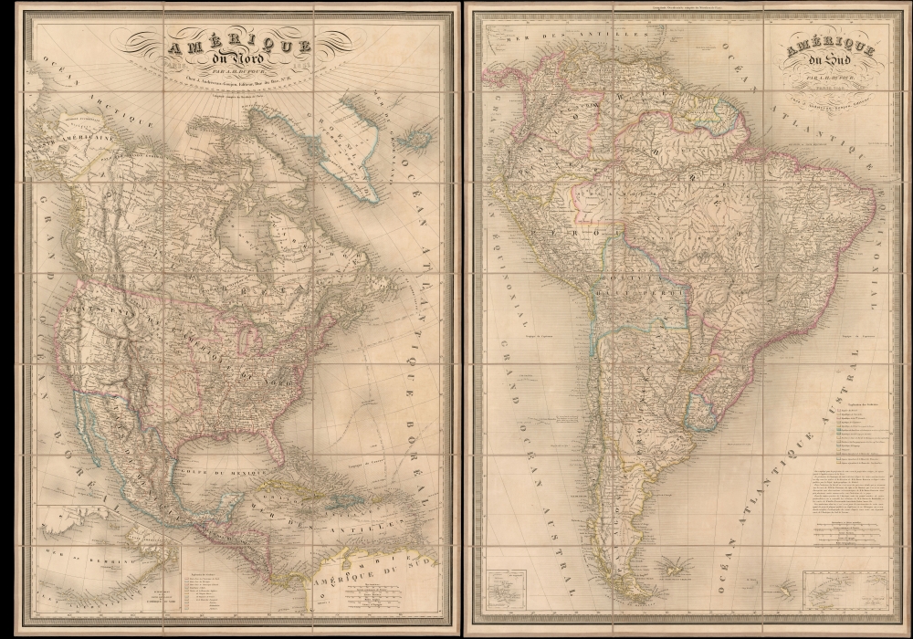
Amérique du Nord. / Amérique du Sud.
$3,500.00
Acquire
- Digital Map Information
- Suitable for large format printing
- Full resolution TIFF file
- ICC color profile embedded
- Delivered instantly via download link
This is a beautiful 1851 pair of A. H. Dufour large-format folding maps of North America and South America, presented together in an original slipcase. The North America map captures an ephemeral look at the Transmississippi in the year after the Treaty of Guadalupe Hidalgo - including a most unusual mapping of the borders of Texas.The South America map shows the political divisions just prior to the Platine War, between the Empire of Brazil and the Argentine Confederation. (more details)
Whimsical pair of early American schoolgirl maps.
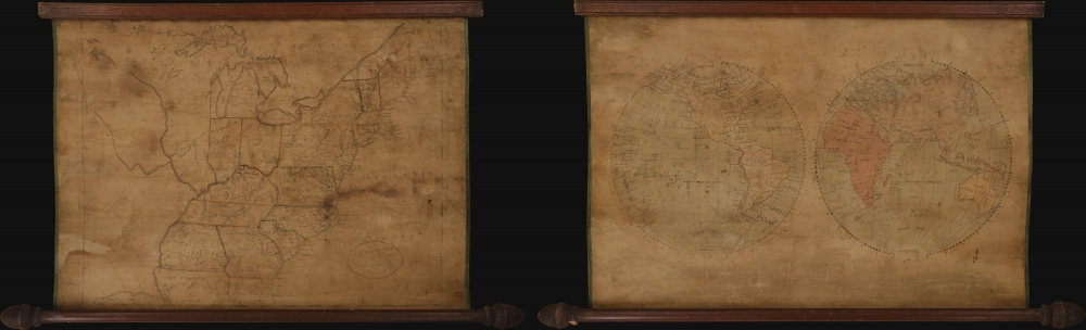
The United States of America. / [The World].
$2,500.00
Acquire
A remarkable c. 1810 pair of manuscript 'schoolgirl' maps exhibiting the world in hemispheres and the United States of America, respectively. The drafting of such maps was an important part of girls' education at the time, carrying with it the didactic function of inculcating a shared sense of identity and civic virtues. (more details)
'A Monthly check for every American...'
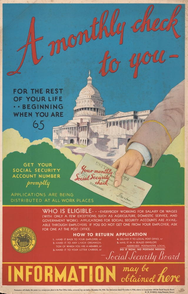
A Monthly Check to You for the Rest of your Life Beginning When You Are 65.
$2,000.00
Acquire
- Digital Map Information
- Suitable for large format printing
- File Size: 33.31 MB
- File Type: ZIP / TIFF
- ICC color profile embedded
- Delivered instantly via download link
An iconic piece of American visual history, this is a 1936 Social Security Board broadside promoting the newly created Social Security System. With the U.S. Capitol towering in the background, a hand offers 'your monthly Social Security check' from the United States government: 'A monthly check to you for the rest of your life beginning when you are 65'. The reader is urged to 'get your Social Security Account Number promptly' and that 'applications are being distributed at all work places'. Informative and instructional, the poster includes details regarding eligibility, and how to return an application. Intriguingly, text along the bottom reads, 'Postmasters will display this poster in a conspicuous place in the Post Office lobby, on arrival, but not before November 24, 1936.' While this broadside does show evidence of being displayed in a post office, including pinholes in the upper margin, it is in very good condition. (more details)
Rare early nautical chart of the Virgin Islands.
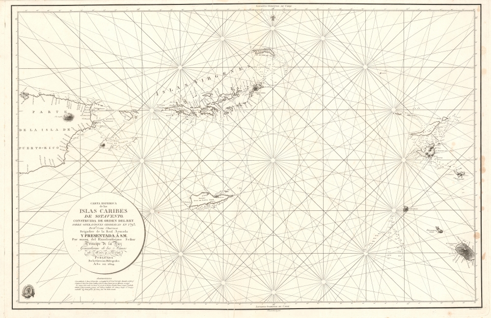
Carta Esferica de la Islas Caribes de Sotavento.
$2,000.00
Acquire
- Digital Map Information
- Suitable for large format printing
- Full resolution TIFF file
- ICC color profile embedded
- Delivered instantly via download link
A rare 1804 Direccion Hidrografica nautical chart or maritime map of the Virgin Islands. Centered on Virgin Gorda Island, the map covers from eastern Puerto Rico to St. Christopher and St. Barts. When it was printed, this was the finest map of the Virgin Islands yet produced, the result of a meticulous 1792 survey by Spanish officers Joaquin Francisco Fidalgo and Cosme Damián de Churruca y Elorza. (more details)
Ottoman map of Istanbul's defenses on the eve of World War I.
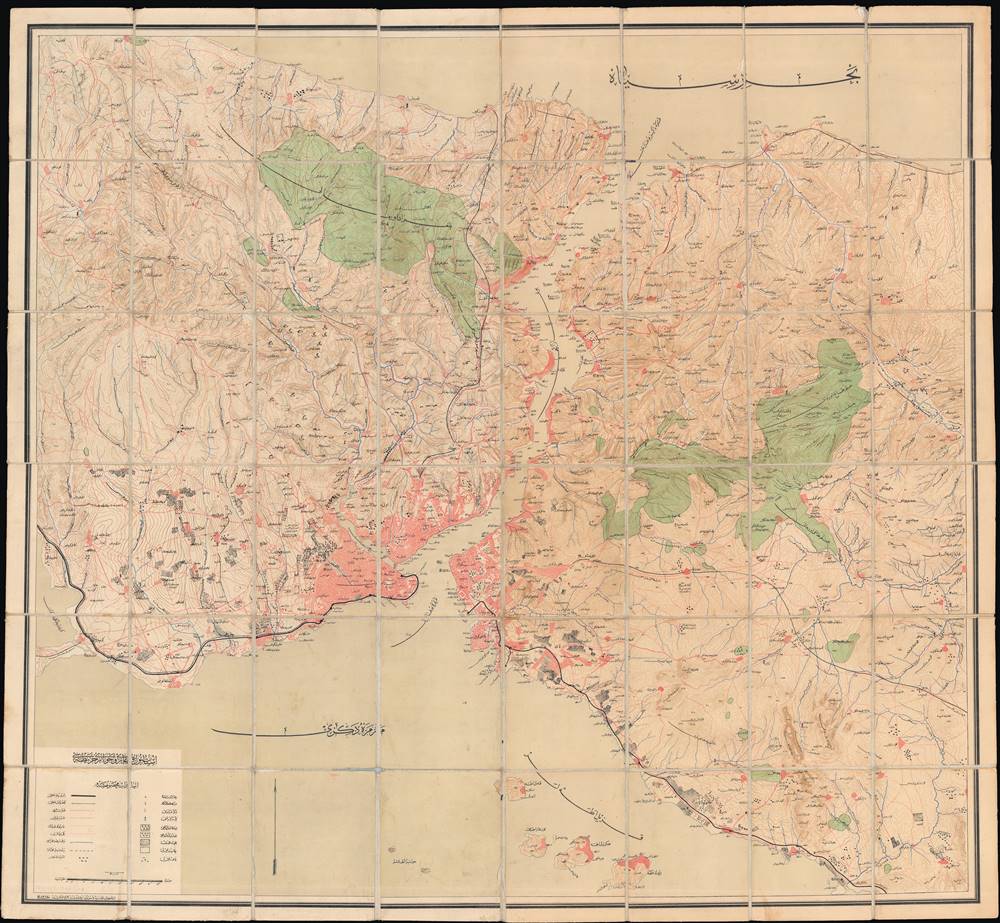
Istanbul ve Boğazı ve civarı haritası / [Map of Istanbul, the Bosphorus, and Surroundings].
$2,000.00
Acquire
- Digital Map Information
- Suitable for large format printing
- File Size: 73.41 MB
- File Type: ZIP / TIFF
- ICC color profile embedded
- Delivered instantly via download link
This is a rare c. 1911 (1327 AH) large-scale folding Ottoman map of Istanbul, the Bosporus, and environs. This map was published by a military-affiliated publisher amid multiple crises in the European portion of the Ottoman Empire. Its ready foldability suggests that it was intended for use in the field, perhaps preparing fortifications in the event of an attack on the city. (more details)
Civil War blockade-runners map of the Savannah River.
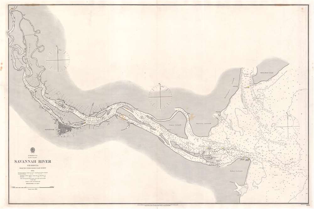
Savannah River Georgia From the United States Coast Survey 1855.
$1,900.00
Acquire
- Digital Map Information
- Suitable for large format printing
- File Size: 57 MB
- File Type: ZIP / TIFF
- ICC color profile embedded
- Delivered instantly via download link
This is an extremely scarce 1861 British Admiralty Chart of the Savannah River and city of Savannah, Georgia, issued at the outset of the American Civil War (1961 - 1865). Although formally neutral in the conflict, British private interests financed blockade runners that sent munitions and luxuries to Confederate ports in return for cotton and tobacco. This map of the Savannah River was doubtless produced for this purpose.
The map is derived from U.S. Coast Survey work in the Savannah region completed in 1855, and although the Admiralty chart is superior in construction and presentation, is substantively similar. Coverage extends from the mouth of the Savanna River, Hilton Head, and Tybee Island, westward towards savanna, as far north as Argyle Island. The triangulation for this map was completed by E.O. Cord, C. O. Boutelle, C. P. Bolles and D. T. Van Buren. The topography is the work of H. I. Whiting. The Hydrography was accomplished by a party under the command of J. N. Maffitt. (more details)
The map is derived from U.S. Coast Survey work in the Savannah region completed in 1855, and although the Admiralty chart is superior in construction and presentation, is substantively similar. Coverage extends from the mouth of the Savanna River, Hilton Head, and Tybee Island, westward towards savanna, as far north as Argyle Island. The triangulation for this map was completed by E.O. Cord, C. O. Boutelle, C. P. Bolles and D. T. Van Buren. The topography is the work of H. I. Whiting. The Hydrography was accomplished by a party under the command of J. N. Maffitt. (more details)
The early days of St. Petersburg.
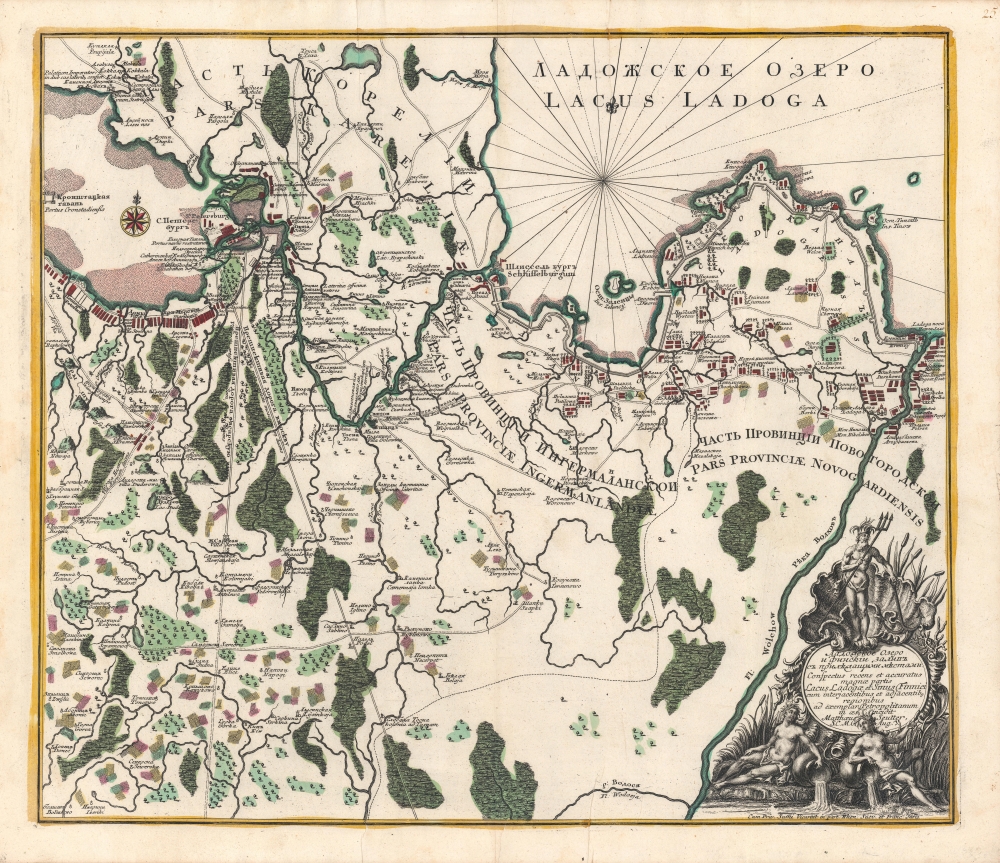
Ладожское озеро [Lake Ladoga], Conspectus recens et accuratus magnae partis Lacus Ladogae et Sinus Finnici.
$1,800.00
Acquire
- Digital Map Information
- Suitable for large format printing
- Full resolution TIFF file
- ICC color profile embedded
- Delivered instantly via download link
A scarce c. 1760 Russian-language map of Lake Ladoga, St. Petersburg, and environs, produced by Johann Elias Grimmel, based on an original published by Matthäus Seutter. It depicts the region as St. Petersburg was growing considerably and attracting intellectuals from throughout Europe, including Grimmel. (more details)
Novel adaptation of the optical telegraph to communicate typhoon data in the South China Sea.
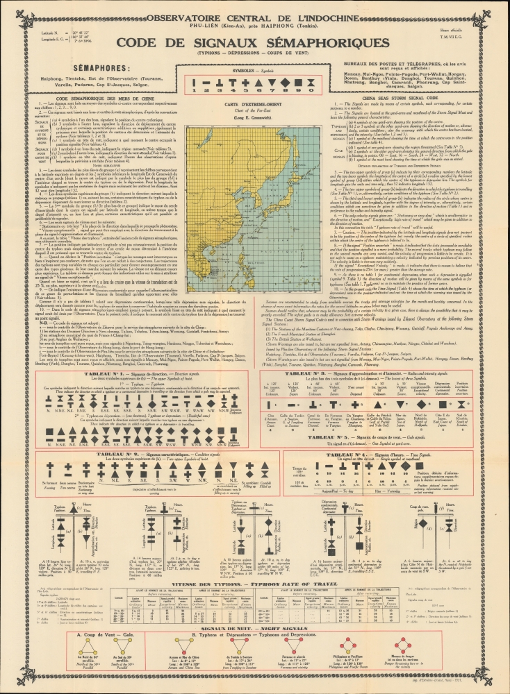
Code de Singauz Sémaphoriques (Typhons - Dépressions - Coups de Vent).
$1,800.00
Acquire
- Digital Map Information
- Suitable for large format printing
- File Size: 59.87 MB
- File Type: ZIP / TIFF
- ICC color profile embedded
- Delivered instantly via download link
This is a 1931 Observatoire Central de l'Indochine typhoon tracking map of East Asia - a wonder of early infographic weather mapping and data transmission. The map is an innovative guide to transmitting typhoon data gathered by remote weather monitoring stations with the central observatory at Phu Liên (northern Vietnam) via the Semaphore System or Optical Telegraph. (more details)
One of the earliest images of British Association football (err... soccer).
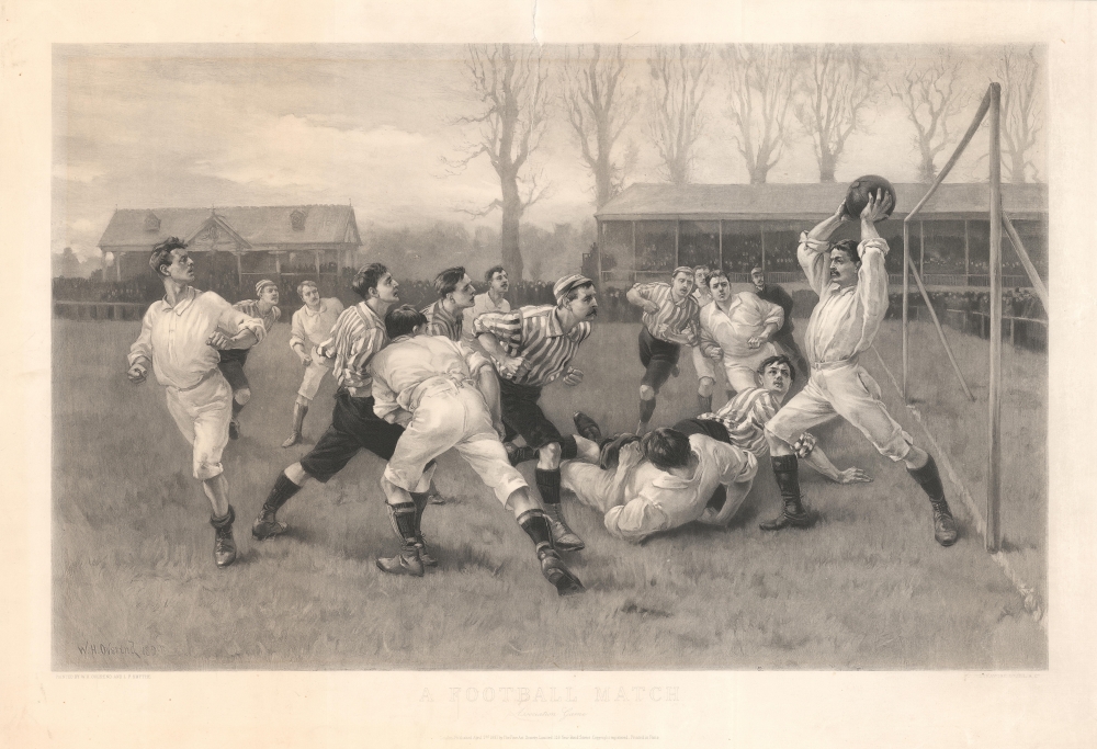
A Football Match Association Game.
$1,200.00
Acquire
- Digital Map Information
- Suitable for large format printing
- File Size: 120.98 MB
- File Type: ZIP / TIFF
- ICC color profile embedded
- Delivered instantly via download link
This is an 1891 William Heysham Overend and Lionel Percy Smythe view of an English football (soccer) match. This is one of the earliest images of soccer / football after the 1888 founding of the British Football League. The view captures the moment when the keeper (goalie) for the 'white shirt' team is about to (hopefully) throw the ball to one of his teammates. (more details)
The first generation of Meiji Maps drawn from Western sources.

東半球 / Eastern Hemisphere.
$1,200.00
Acquire
- Digital Map Information
- Suitable for large format printing
- File Size: 74.36 MB
- File Type: ZIP / TIFF
- ICC color profile embedded
- Delivered instantly via download link
A rare 1873 or Meiji 6 wall map of the Eastern Hemisphere by the Japanese geographer Gaiko Oya (大屋 愷敆). The map follows the early Meiji Restoration convention of copying cartography from western sources. The practice was intended to modernize Japanese geographical conceptions and place Japan into a geographically accurate global reference. (more details)
Mercator's British Isles in original color.
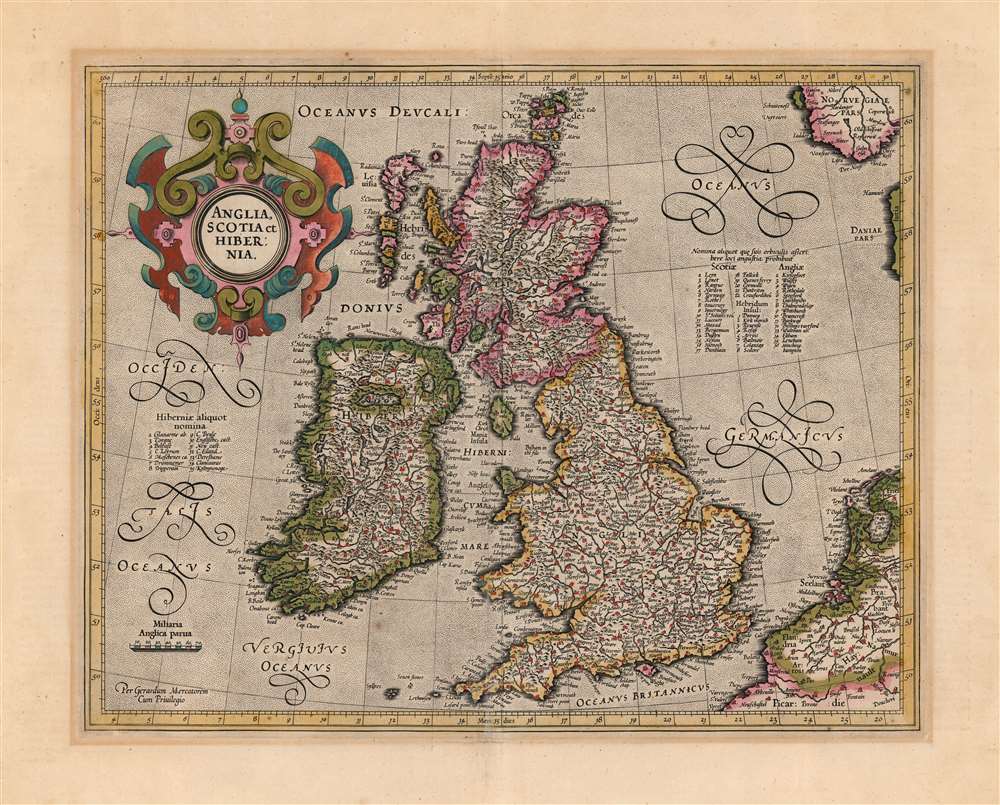
Anglia, Scotia et Hibernia.
$1,100.00
Acquire
- Digital Map Information
- Suitable for large format printing
- Full resolution TIFF file
- ICC color profile embedded
- Delivered instantly via download link
This is a beautiful, original-color example of Gerard Mercator's 1595 map of the British Isles, in its 1623 Hondius edition. This would be the definitive map of the British Isles for many subsequent decades. (more details)
Long-Lived and Updated Map.
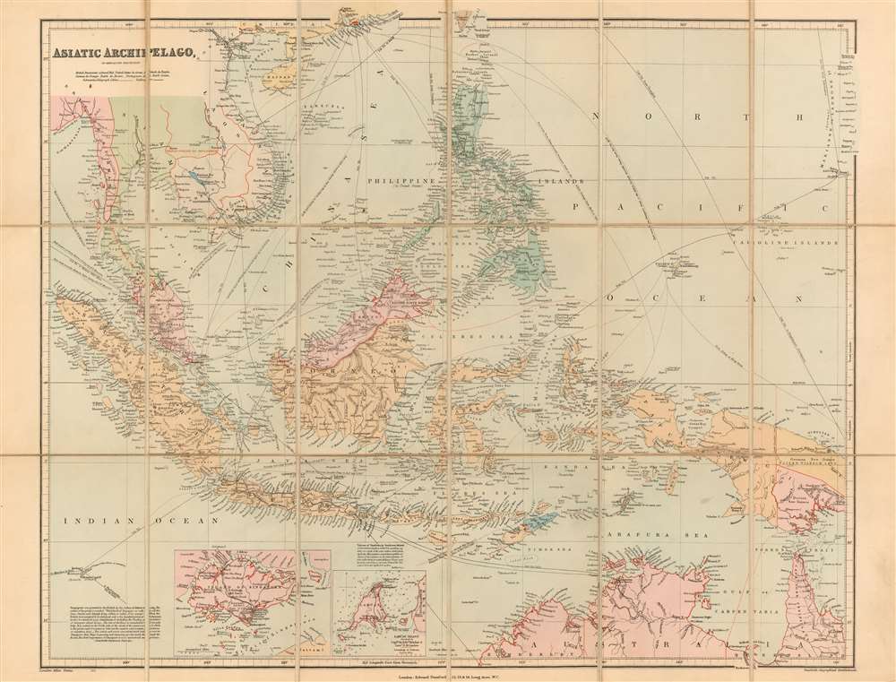
Asiatic Archipelago on Mercator's Projection.
$850.00
Acquire
- Digital Map Information
- Suitable for large format printing
- File Size: 21.47 MB
- File Type: ZIP / TIFF
- ICC color profile embedded
- Delivered instantly via download link
This is John Arrowsmith's map of Southeast Asia and the East Indies in an updated c. 1906 issue published by Stanford. This map achieved astonishing longevity via frequent updates, having first appeared in 1832. (more details)