
NEW ACQUISITIONS
Manuscript record of the Great Comet of 1811.
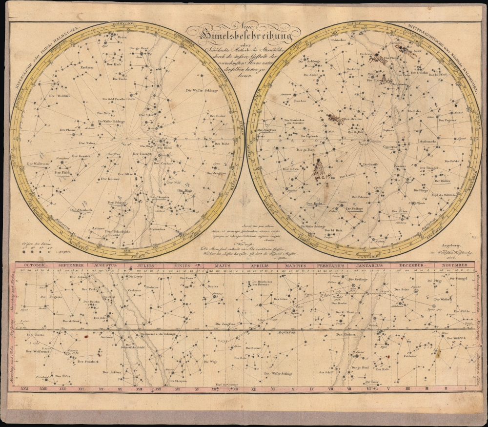
Neue Himmelsbeschreibung oder sehr leichte Methode die Sternbilder durch die äußere Gestalt der vornehmsten Sterne unter denselben kennen zu lernen.
$950.00
Acquire
- Digital Map Information
- Suitable for large format printing
- File Size: 20.95 MB
- File Type: ZIP / TIFF
- ICC color profile embedded
- Delivered instantly via download link
This is an 1804 celestial map, with extensive manuscript annotations, prepared by Johannes Walch. Aside from its aesthetic qualities, the chart is noteworthy for its manuscript annotations recording the Great Comet of 1811. Overall, the chart captures the state of astronomical knowledge at the time, including the discovery of Uranus by astronomer William Herschel (1738-1822). (more details)
Mt. Rainier - North America's most dangerous active volcano.
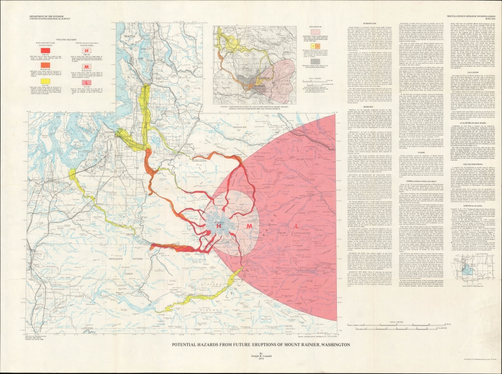
Potential hazards from future eruptions of Mount Rainier, Washington. / Miscellaneous Geologic Investigations Map I-836.
$750.00
Acquire
This is a 1973 Dwight 'Rocky' Crandell map of Washington State in the vicinity of the volcanic Mt. Rainier, considered North America's most dangerous active volcano. It illustrates the danger zones most at risk in a Mt. Rainier eruption. (more details)
Post-Napoleonic Italy.
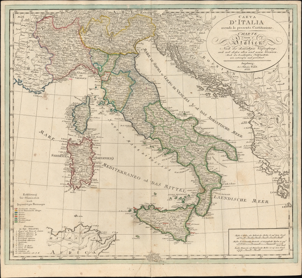
Carta D'Italia secondo la presento Costituzione/ Charte von Italien nach der dermaligen Verfassung : auch mit dessen alten und neuen Grenzen : nach den bewährtesten Hülfsmitteln neu entworfen und gezeichnet.
$500.00
Acquire
- Digital Map Information
- Suitable for large format printing
- File Size: 21.19 MB
- File Type: ZIP / TIFF
- ICC color profile embedded
- Delivered instantly via download link
This is an 1820 Johann Walch map of Italy, issued during the Napoleonic Wars (1803-1815). Although initially issued in 1803, the map underwent regular updates due to the tumultuous political changes over the subsequent decades. This 1820 example is the last edition, published by Johann Sebastian, Walch's heir, likely as a separate issue. (more details)
Cartographic game of telephone.
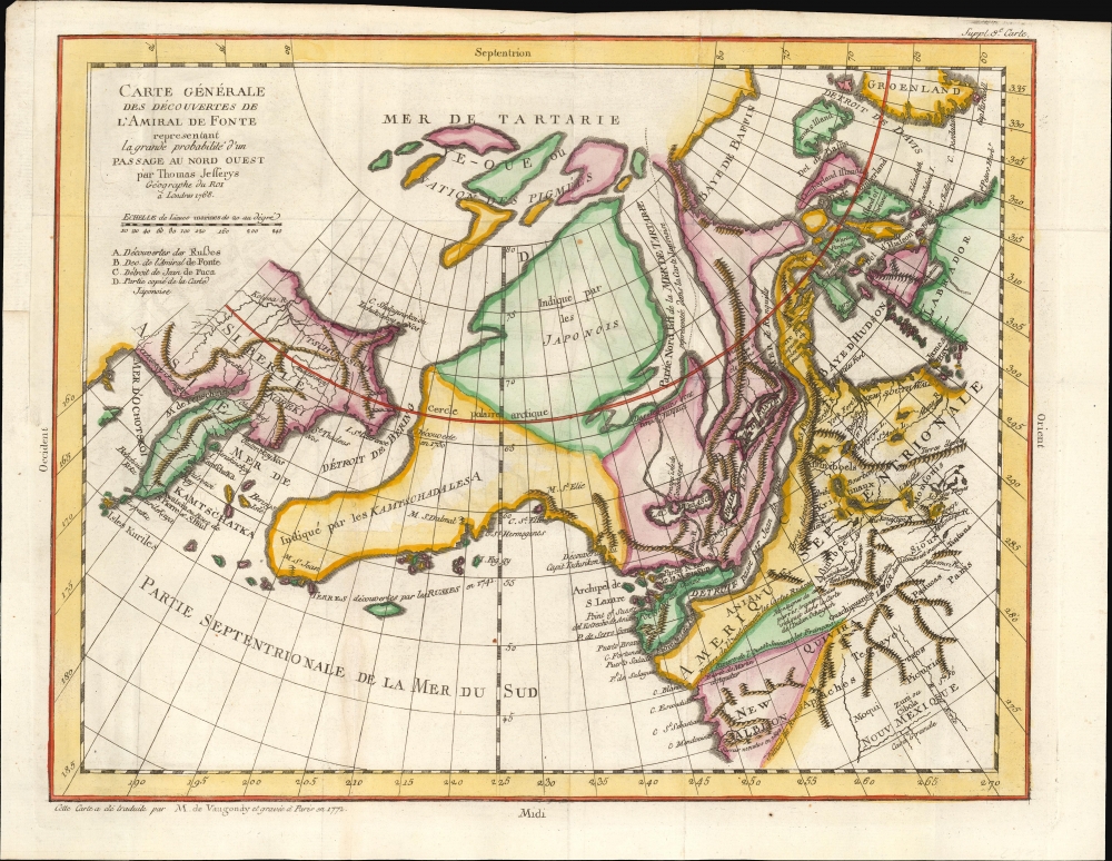
Carte Generale Des Decouvertes de L'Amiral de Fonte representant la grand porbabilite d'un Passage Au Nord Ouest par Thomas Jefferys Geographe du Roi a Londres 1768.
$500.00
Acquire
- Digital Map Information
- Suitable for large format printing
- File Size: 10.24 MB
- File Type: ZIP / TIFF
- ICC color profile embedded
- Delivered instantly via download link
This is Robert de Vaugondy's 1772 map of the northwestern parts of North America and the northeastern extremes of Asia, issued in the supplement to Diderot's groundbreaking Encyclopédie. The map summarizes a blend of new discoveries and wild speculations regarding the coastlines of the North Pacific and the possibilities of a navigable Northwest Passage. (more details)
Earliest 'Green Guide' of Washington.
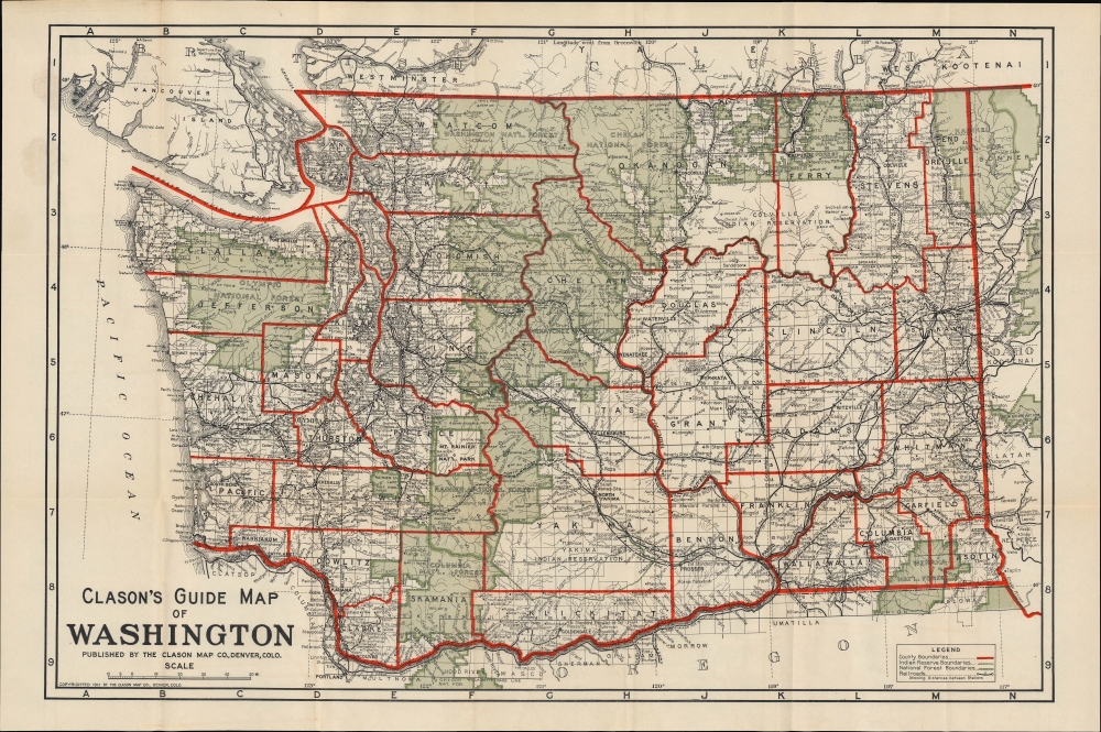
Clason's Guide Map of Washington / Clason's Guide to Washington with Map.
$450.00
Acquire
- Digital Map Information
- Suitable for large format printing
- File Size: 26.34 MB
- File Type: ZIP / TIFF
- ICC color profile embedded
- Delivered instantly via download link
This is a 1911 pocket map of Washington state prepared by the Clason Map Company, the earliest such map of Washington prepared by the company. (more details)
Island Paradise in the Western Mediterranean.
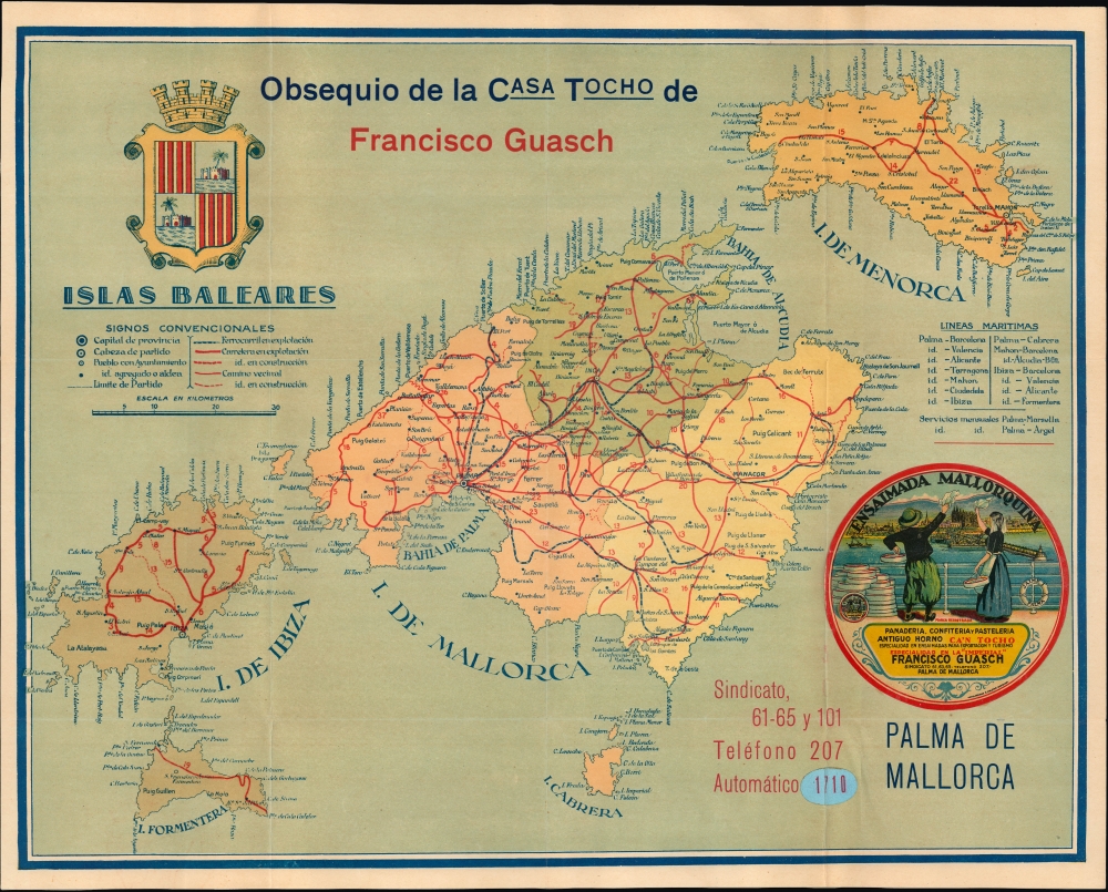
Islas Baleares. / Mapa de comunicaciones de Mallorca.
$350.00
Acquire
- Digital Map Information
- Suitable for large format printing
- File Size: 14.36 MB
- File Type: ZIP / TIFF
- ICC color profile embedded
- Delivered instantly via download link
This is an unrecorded c. 1925 chromolithographed promotional map of the Balearic Islands, including Mallorca and Ibiza, produced for the Spanish textile company Gausch. (more details)
Postwar Tourism.
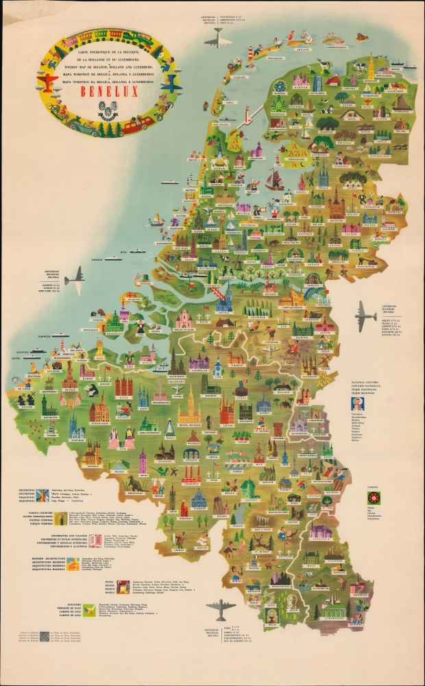
Benelux Carte touristique de la Belgique, de la Hollande et du Luxembourg Tourist map of Belgium, Holland and Luxermburg Mapa turistico de Belgica, Holanda y Luxemburgo Mapa turistico da Belgica, Holanda e Luxemburgo.
$225.00
Acquire
This is a c. 1958 pictorial map of the Low Countries or Benelux countries, produced by Libra Studio and printed in Holland by Kuhn en Zoon. (more details)
Showcasing the Brooklyn Bridge.
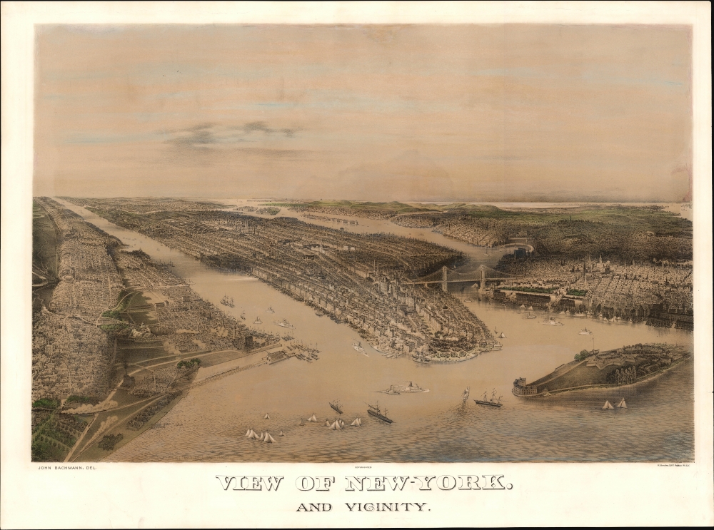
View of New-York. And Vicinity.
$5,500.00
Acquire
- Digital Map Information
- Suitable for large format printing
- File Size: 32.81 MB
- File Type: ZIP / TIFF
- ICC color profile embedded
- Delivered instantly via download link
This is a c. 1885 John Bachmann chromolithograph bird's-eye view of New York City and its vicinity, including Brooklyn, Jersey City, and Hoboken. The work captures the city flourishing as a hub of commerce as it roared towards the absorption of its neighbors: Brooklyn and Queens. The harbor is busy with steamships and sailboats, and the railheads in Jersey City are depicted with trains steaming west - engines of the Industrial Revolution. (more details)
A Particular Take of Poland's Experience of World War II.
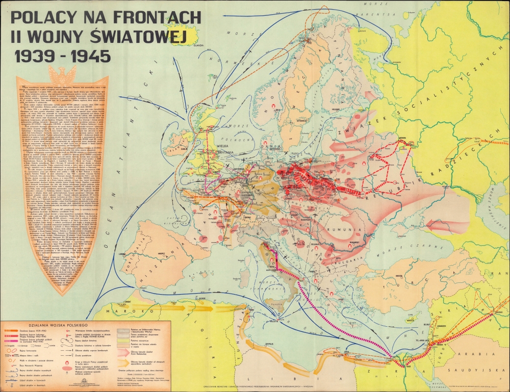
Polacy na frontach II Wojny światowej 1939-1945.
$1,800.00
Acquire
This is a 1971 Państwowe Przedsiębiorstwo Wydawnictw Kartograficznych map of Europe displaying the battles of the Polish nation against Nazi Germany during the Second World War. On a per capita basis, Poland suffered more than any other country during the war, losing some 17 percent of its 1939 population in the conflict (including millions of Jews killed in the Holocaust). (more details)
Steamship travel amidst impending war.
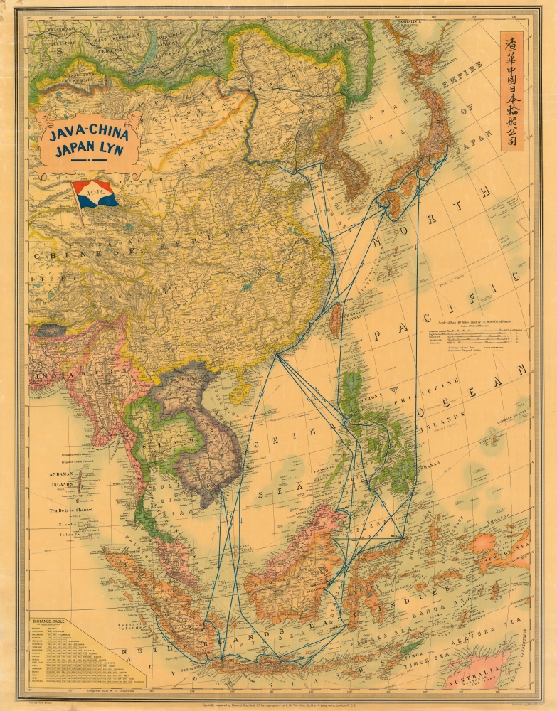
Java-China Japan Lyn. / Map Showing Routes Ports of Call and services of the java-China Japan Line.
$1,800.00
Acquire
- Digital Map Information
- Suitable for large format printing
- File Size: 231.36 MB
- File Type: ZIP / TIFF
- ICC color profile embedded
- Delivered instantly via download link
A dramatic large-scale c. 1939 Edward Stanford map promoting the Java-China Japan (JCJL) steamship line (渣華中國日本輪船公司). It serves as a reminder of the interconnections throughout East Asia that persisted despite the geopolitical tensions in the 1930s. (more details)
The Most Destroyed City of World War II.
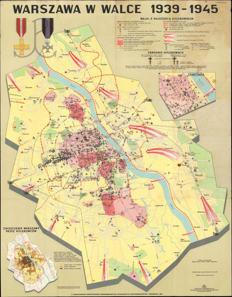
Warszawa w walce 1939-1945.
$1,200.00
Acquire
This is a 1984 Państwowe Przedsiębiorstwo Wydawnictw Kartograficznych map of Warsaw, highlighting the city's traumatic experience during the Second World War. Warsaw was one of the most heavily damaged large cities in the entire conflict, losing some 85 percent of its prewar structures by 1945 and several hundred thousand of its inhabitants, including almost the entirety of its prewar Jewish population. (more details)
Andaman and Nicobar Islands, suddenly significant.
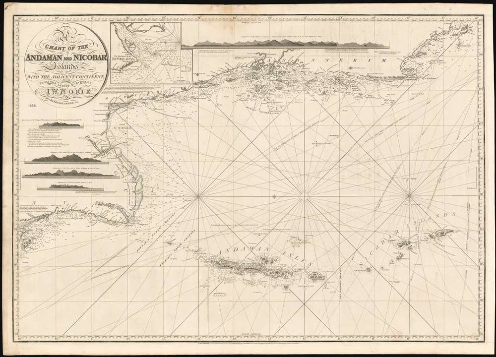
A Chart of the Andaman and Nicobar Islands with the Adjacent Continent, Drawn from the latest Surveys, by J. W. Norie, Hydrographer.
$1,000.00
Acquire
- Digital Map Information
- Suitable for large format printing
- File Size: 52.14 MB
- File Type: ZIP / TIFF
- ICC color profile embedded
- Delivered instantly via download link
A scarce 1856 blueback nautical map by J. W. Norie depicting the Andaman Islands and the Nicobar Islands, as well as parts of modern-day Burma (Pegu) and Thailand (Tanasserim). (more details)
Palawan on the eve of World War II.
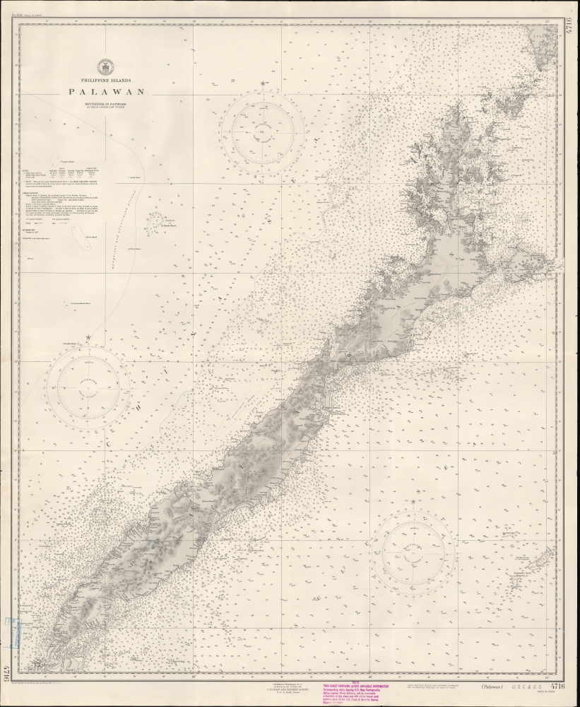
Philippine Islands : Palawan.
$800.00
Acquire
- Digital Map Information
- Suitable for large format printing
- File Size: 15.62 MB
- File Type: ZIP / TIFF
- ICC color profile embedded
- Delivered instantly via download link
This is a 1938 U.S. Coast and Geodetic Survey (USCGS) nautical chart or maritime map of the island of Palawan in the Philippines, published just before World War II (1939 - 1945). With tensions rising in the Asia-Pacific sphere, the U.S. government recognized that updating its charts was critical. (more details)
Opening moves in the War or the Spanish Succession.
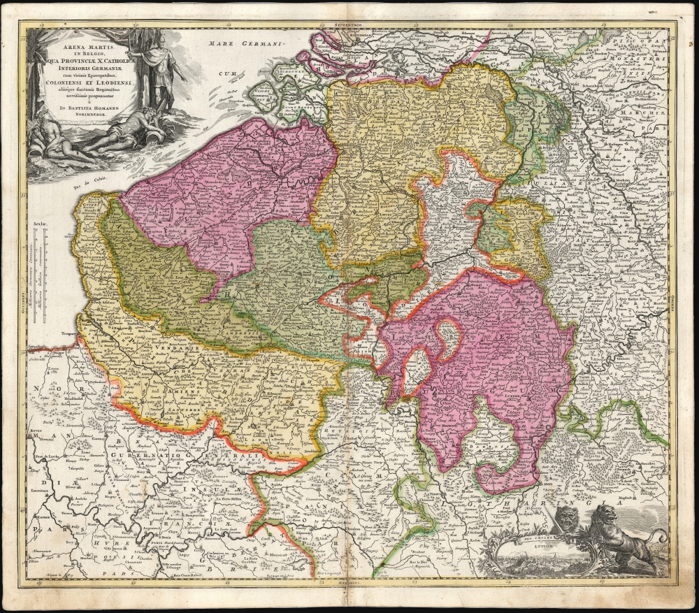
Arena Martis in Belgio Qua Provinciae X Catholicae Inferioris Germaniae cum vicinis Episcopatibus, Coloniensi et Leodiensi.
$750.00
Acquire
- Digital Map Information
- Suitable for large format printing
- File Size: 28.88 MB
- File Type: ZIP / TIFF
- ICC color profile embedded
- Delivered instantly via download link
This is a scarce, early plate of Johann Baptist Homann's 1702 map of Belgium and Luxembourg, then the ten Catholic provinces of the Low Countries, as well as the Bishoprics of Cologne and Liège. As the title states, this is the theater for the opening stages of the War of Spanish Succession (1701 - 1714). (more details)
First Christian Kingdom.
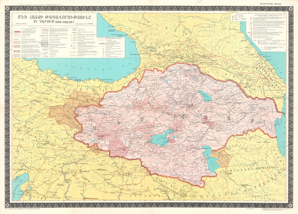
ՄԵԾ ՀԱՅՔԻ ԹԱԳԱՎՈՐՈՒԹՅՈՒՆԸ IV ԴԱՐՈՒՄ (298-385 թթ.) [The Kingdom of Greater Armenia in the IV Century (298-385)].
$600.00
Acquire
This is a rare, separately issued 1979 Suren Yeremian map of the Armenian Kingdom of the Arsacid Dynasty, published in Armenian. This work represents decades of Yeremain's meticulous and unique research to recover forgotten Armenian history. (more details)
Resources for Empire.
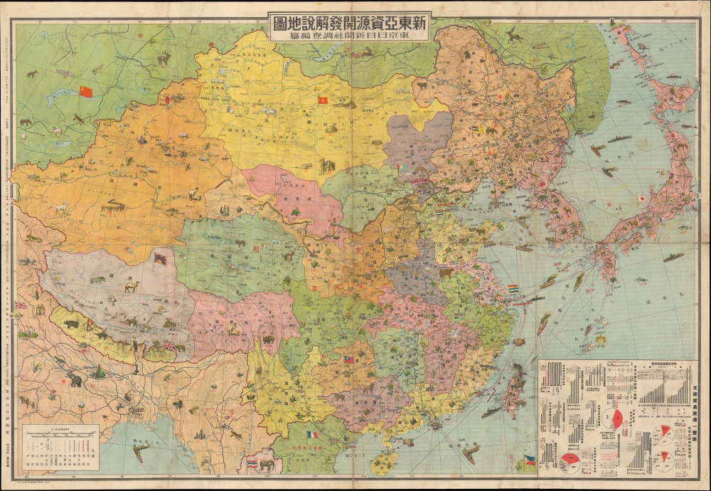
新東亞資源開發解說地圖 / [Explanatory Map of the Resource Development of New East Asia].
$400.00
Acquire
- Digital Map Information
- Suitable for large format printing
- Full resolution TIFF file
- ICC color profile embedded
- Delivered instantly via download link
This is a 1939 pictorial map of East Asia prepared by Sōma Motoi as a supplement to the Tokyo Nichi Nichi Shimbun. Focusing on the resources of various countries in the region and published after Japan's full-scale war in China had been underway for more than a year, it can be seen as a popular reflection of Imperial Japan's strategic thinking at the time. (more details)
Celebrating Oahu.
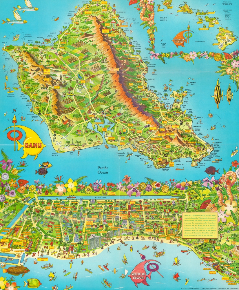
A Pic Tour Map Honolulu - Waikiki and 'Round the Isle of Oahu'.
$225.00
Acquire
This is a 1956 Don Bloodgood pictorial map of the island of Oahu and Waikiki Beach, Hawaii. Created in two sections, the map of Oahu depicts the entire island and occupies nearly two thirds of the printed area. Sites all across the island, from Kaena Point to Makapuu Point and from Kahuku Point to Diamond Head are identified. These range from cities and towns (such as Honolulu, Lanikai, and Waialee) to beaches, including Waikiki, and other important sites, such as Pearl Harbor, the Battleship Arizona Memorial, and the Mormon Temple. Palm groves and pineapple plantations dot the landscape, while surfers and fisherman ply the waters just off shore. Fish and whales surround the island. An inset of all eight Hawaiian Islands is located in the upper right. Mauna Loa, Mauna Kea, Kilauea, and Haulalai are illustrated and labeled on the island of Hawaii, as is Mt. Waialeale, the wettest spot in the world, on Kauai. Distances from Honolulu to the other islands are given, as are distances between Honolulu and Australia, New Zealand, Tokyo, Manila, Portland, San Francisco, and Los Angeles. (more details)
Manuscript map of Saigon made for an artillery officer.
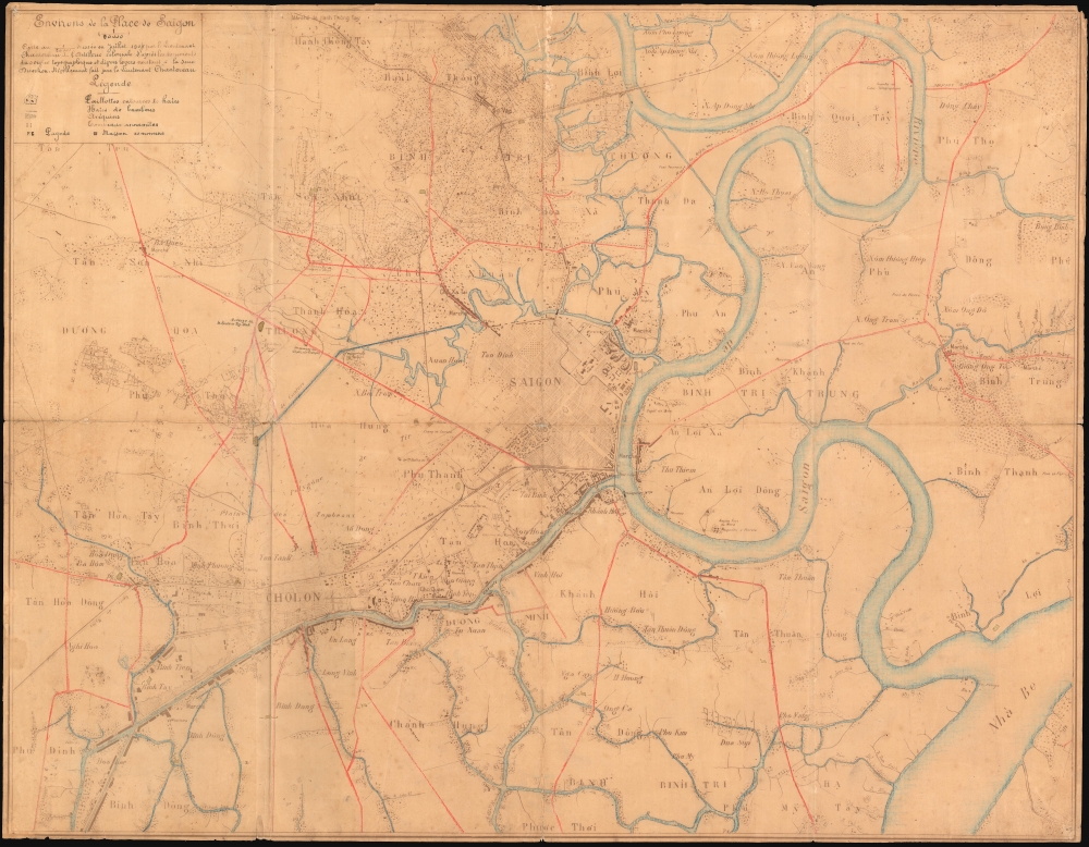
Environs de la Place de Saigon.
$4,500.00
Acquire
- Digital Map Information
- Suitable for large format printing
- File Size: 30.79 MB
- File Type: ZIP / TIFF
- ICC color profile embedded
- Delivered instantly via download link
An exceptional, highly detailed combination ferro-gallic and manuscript map of Saigon (Ho Chi Minh City), Vietnam, prepared in 1904 for Lieutenant Chantereau, an officer serving with the Artillerie Coloniale. The map captures Saigon at its peak as a colonial capital. (more details)
Parisificaiton of Mexico City during the Porfiriato.
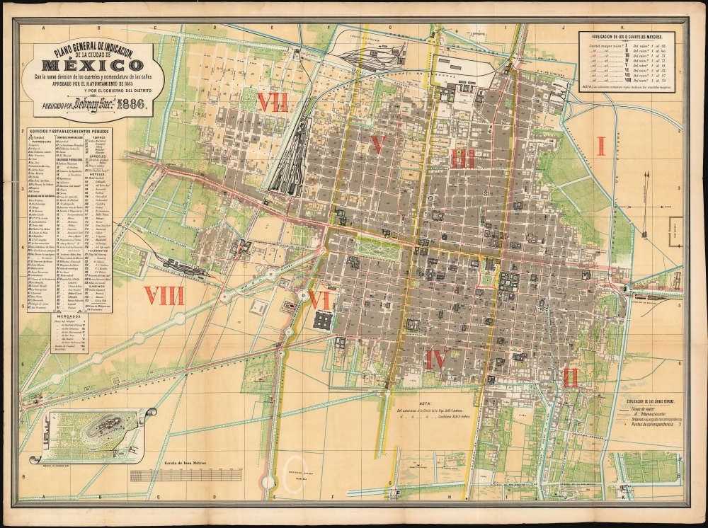
Plano general de indicacion de la Ciudad de Mexico : con la nueva division de los cuarteles y nomenclatura de los calles aprobado por el H. Ayuntamiento de 1885 y por el gobierno del distrito.Publicado por Debray Sucs. 1886.
$4,000.00
Acquire
- Digital Map Information
- Suitable for large format printing
- File Size: 111.59 MB
- File Type: ZIP / TIFF
- ICC color profile embedded
- Delivered instantly via download link
This is a rare, colorful plan of Mexico City, published in 1886 by the lithographers DeBray Sucesores based on official data from the Mexico City government. It reflects the efforts the early ambitions of the Porfiriato, wherein Porfiro Díaz (1830 - 1915), influenced by Paris' transformation under Haussmann, sought to modernize and embellish Mexico City to equal the great capitals of Europe. (more details)
'This was probably the best chart of the West Coast available in 1849' -Heckrotte
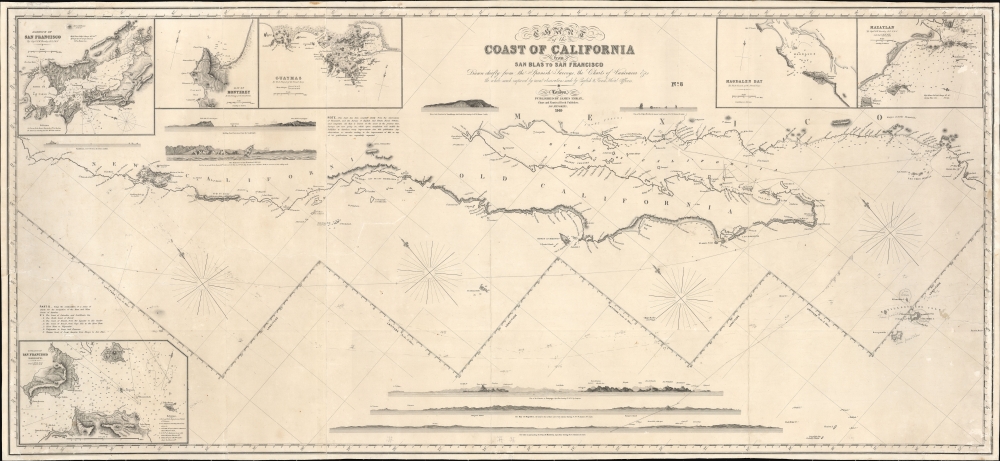
Chart of the Coast of California form San Blas to San Francisco.
$3,900.00
Acquire
- Digital Map Information
- Suitable for large format printing
- DPI: 600
- File Size: 1825.23 MB
- File Type: ZIP / TIFF
- ICC color profile embedded
- Delivered instantly via download link
The 1849 first edition, published for the California Gold Rush, of the James Imray blueback nautical map of the coast of California. This map, by Imray, predates any American charts of the California coast and, when it was issued, was the best obtainable chart for ambitious 49ers en route to the gold regions. (more details)