
NEW ACQUISITIONS
Pre-war anthill of abolitionist vs pro-slavery violence.
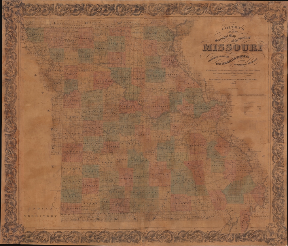
Colton's New Sectional Map of the State of Missouri. Compiled from United States Surveys and other Authentic Sources.
$1,200.00
Acquire
- Digital Map Information
- Suitable for large format printing
- File Size: 200.37 MB
- File Type: ZIP / TIFF
- ICC color profile embedded
- Delivered instantly via download link
This is an 1861 J. H. Colton map of Missouri at the beginning of the American Civil War (1861 - 1865). The map captures Missouri during a period when it was a violent microcosm of the greater abolition/pro-slavery divide. Although officially a slave state, Missouri harbored a large population of absolutists on both sides of the debate - and more from each side flooded in from 1850 on - turning it into a hotbed of violence and unrest that did not relent until long after the Civil War. (more details)
Dorn's first map.
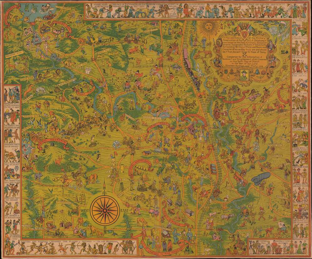
A Map and History of the Military Reservation of Fort Sill Oklahoma now known as the Field Artillery School showing Topographic Features Inhabitants Surrounding Territory Flora and Fauna and Characteristics as they Truly are and should be from Ancient Times to those of Today.
$1,100.00
Acquire
- Digital Map Information
- Suitable for large format printing
- File Size: 58.03 MB
- File Type: ZIP / TIFF
- ICC color profile embedded
- Delivered instantly via download link
This 1931 pictorial map of Fort Sill, Oklahoma, is Frank Dorn's earliest known map. Embracing Fort Sill and the surrounding area, Dorn's synthesis of comic pictorial cartography, history, and vignettes of day-to-day life offer a broad picture of the military experience on base. Dorn is most famous for his Map and History of Peiping, which achieved wide acclaim and distribution. His other maps, all depicting military bases where he was stationed, including this his first map, were issued in much lower quantities and are all extremely rare. (more details)
Conquering the West.
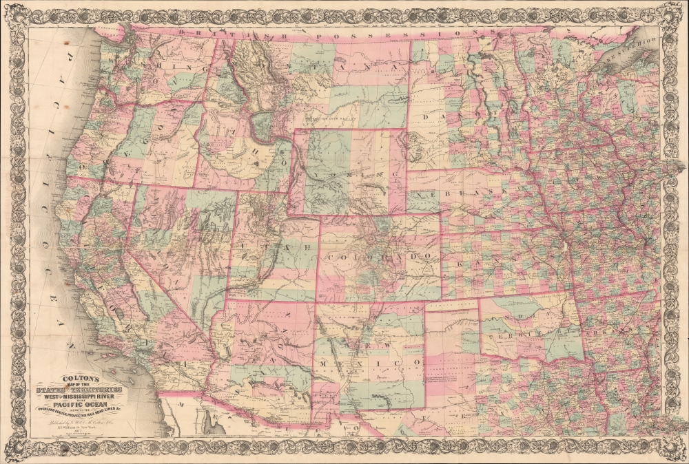
Colton's Map of the States and Territories West of the Mississippi River to the Pacific Ocean showing the Overland Routes, Projected Rail Road Lines etc.
$1,000.00
Acquire
- Digital Map Information
- Suitable for large format printing
- File Size: 1574.26 MB
- File Type: ZIP / TIFF
- ICC color profile embedded
- Delivered instantly via download link
An impressive 1877 Colton large-scale map of the United States west of the Mississippi River. The map was issued during a period of mass westward migration, opportunity, and development. The Central Pacific Railroad was completed in 1869, and when this map was issued, both the Northern Pacific and the Southern Pacific, as well as numerous ancillary railroads, were well underway. The California Gold Rush was over, but massive gold and silver discoveries followed in Colorado, Nevada, Oregon, and Washington, driving wealth into the economy and spurring high-paced development and urbanization. New states and territories appeared annually: Colorado became a state one year before this map was issued. (more details)
Increasing French interest in Mexico.
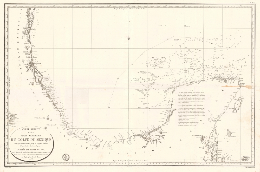
Carte Réduite de la Partie Méridionale du Golfe du Mexique Depuis le Cap Catoche jusqu'à Laguna Madre.
$950.00
Acquire
- Digital Map Information
- Suitable for large format printing
- Full resolution TIFF file
- ICC color profile embedded
- Delivered instantly via download link
This is an 1826 Dépôt de la Marine nautical map of the Gulf Coast of Mexico. The publication of this map in France reflects renewed and growing imperial interest in the New World, which culminated in the French Intervention in Mexico (1838 - 1839). This coast, and the Yucatan specifically, was the most important and wealthiest part of Mexico. The Yucatan was the only place in the world where sisal could be farmed from Henequen agave - the source of most of the world's nautical rope until the invention of synthetics. (more details)
Working nautical chart of the Atlantic coast.
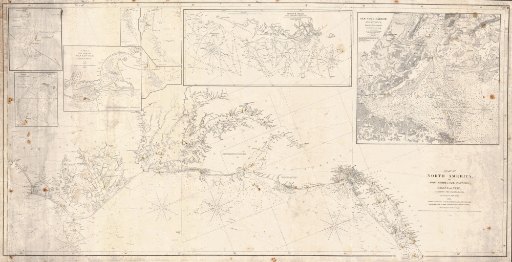
Coast of North America, from Point Judith to Cape St. Antonio (Island of Cuba) Including the Bahama Banks.
$950.00
Acquire
- Digital Map Information
- Suitable for large format printing
- Full resolution TIFF file
- ICC color profile embedded
- Delivered instantly via download link
This is a first edition 1846 Edmund and George William Blunt nautical map of the mid-east coast of the United States featuring manuscript notations. (more details)
Columbia calling - defend the United States.
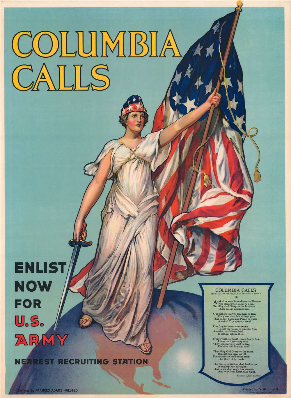
Columbia Calls. Enlist Now for U.S. Army.
$950.00
Acquire
- Digital Map Information
- Suitable for large format printing
- File Size: 226.71 MB
- File Type: ZIP / TIFF
- ICC color profile embedded
- Delivered instantly via download link
This is the 1916 Frances Adams Halsted and Vincent Aderente U.S. Army recruiting broadside - an iconic World War I-era American propaganda image. The broadside features personified Columbia holding an American flag and an unsheathed sword standing atop the Earth, calling on Americans to enlist. 'Columbia Calls,' a poem by Halsted, occupies the lower right. According to the War Department, 'Columbia Calls' was one of the most successful World War I-era recruiting posters. (more details)
Just after the Second Opium War.
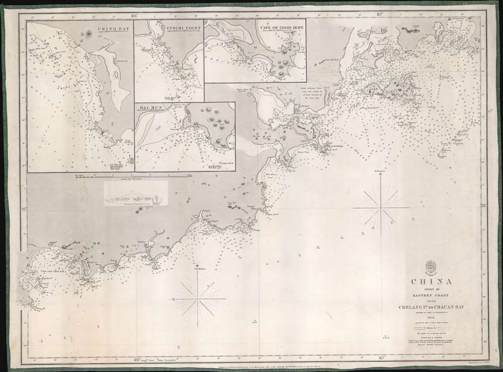
China Sheet III. Eastern Coast from Chelang Pt. to Chauan Bay.
$950.00
Acquire
- Digital Map Information
- Suitable for large format printing
- File Size: 22.28 MB
- File Type: ZIP / TIFF
- ICC color profile embedded
- Delivered instantly via download link
This is a rare 1863 British Admiralty nautical map of Guangdong, China, by Sir Richard Collinson. It was issued in the wake of the Second Opium War (1856 - 1860) and the signing of the 1860 Convention of Peking - an event that led to an explosion of foreign trade with China. (more details)
Global Reach of Shortwave Radio.
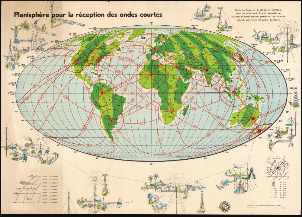
Planisphère pour la réception des ondes courtes.
$850.00
Acquire
This is a rare 1962 pictorial map of the world, published by the electronics company Philips to promote and accompany their shortwave radio products. The author, not named, was probably J. (Jim) Vastenhoud, an engineer who produced a guide on behalf of Philips to instruct in using such maps for shortwave radio reception. (more details)
Armenian Kingdom of Urartu.
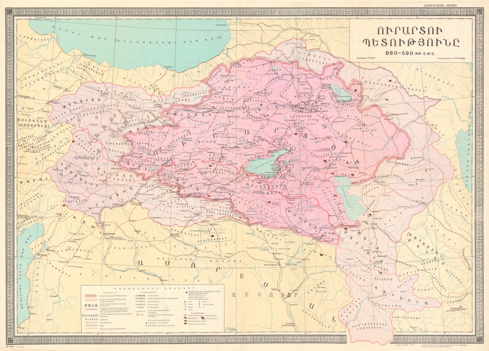
ՈԻՐԱՐՏՈԻ ՊԵՏՈԻԹՅՈԻՆԸ [Kingdom of Urartu].
$750.00
Acquire
This is a rare separately issued Armenian-language 1980 Suren Yeremian map of the historical Kingdom of Urartu - an Armenian civilization that existed between 860 and 590 BCE. The Urartu period is considered a golden age in the ancient history of the Armenian people. (more details)
Conch Republic.

The Conch Republic Key West.
$650.00
Acquire
A vibrant pictorial promotional view of Key West, Florida, prepared in 1985 by Ron Baeza, highlighting the island's businesses while also paying homage to its history and culture. The map celebrates Key West informat secession from the United States as the Conch Republic. (more details)
Desert Wonderland.

The Golden Land of Apple Valley California / 10 Short Years.
$600.00
Acquire
A scarce, whimsical c. 1956 pictorial promotional map of Apple Valley, California, fancifully described as a 'golden land' and 'desert wonderland.' The town proved to be one of the more successful postwar planned developments in the deserts of Southern California. (more details)
Mapping New York Nightlife.

Hagstrom's Map of New York Theatres, Hotels, Shopping District.
$400.00
Acquire
- Digital Map Information
- Suitable for large format printing
- File Size: 23.07 MB
- File Type: ZIP / TIFF
- ICC color profile embedded
- Delivered instantly via download link
This is a 1943 Hagstrom map of Midtown Manhattan highlighting the city's iconic Theatre District. This particular example bears advertising for the real estate firm Cushman and Wakefield. (more details)
Paradise of the Pacific.
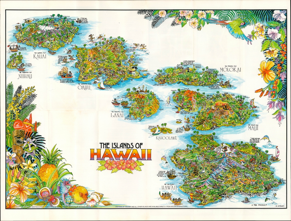
The Islands of Hawaii / Islands of Hawaii Illustrated Pocket Map.
$300.00
Acquire
This vibrant pictorial view of the Hawaiian Islands was drawn in 1981 by Kim Forrest for Travel Graphics International / Archar International. (more details)
Diplomat's synthesis of Paraguayan Geography.
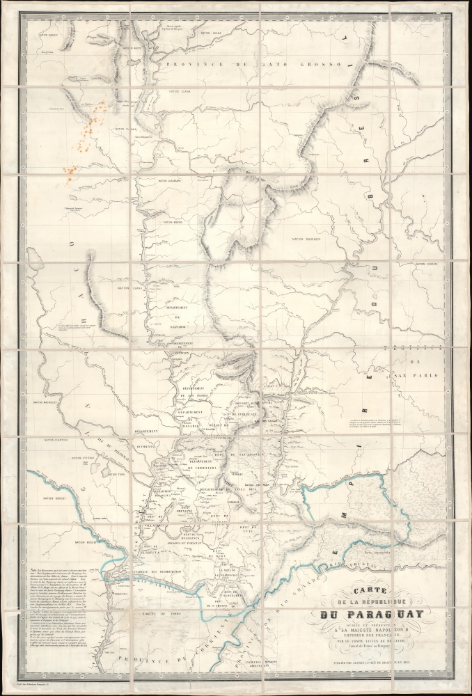
Carte de la Républiuque Du Paraguay dédiée et présentée à sa Majesté Napoléon III Empereur des Français, par le Comte Lucien de Brayer Consul de France au Paraguay. Publiée pat en 1863.
$7,000.00
Acquire
- Digital Map Information
- Suitable for large format printing
- File Size: 62.01 MB
- File Type: ZIP / TIFF
- ICC color profile embedded
- Delivered instantly via download link
This is an extremely rare 1863 map of Paraguay, produced by Alfred Lucien de Brayer, Napoleon III of France's consul to the South American country. It was published to commemorate the 10th year of France's diplomatic recognition of Paraguay's independence and probably as an attempt to bolster de Brayer's damaged reputation with the Emperor. The map is superbly detailed, laying out Paraguay and its frontier regions. It details the administrative regions within the country; neighboring indigenous tribes and nations are noted, as well as the bordering regions of Brazil and Argentina. (more details)
'Most Attractive of its Time' -Shirley
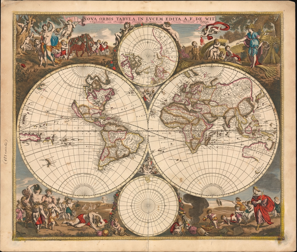
Nova Orbis Tabula In Lucem Edita, A. F. de Wit.
$5,500.00
Acquire
- Digital Map Information
- Suitable for large format printing
- File Size: 31.77 MB
- File Type: ZIP / TIFF
- ICC color profile embedded
- Delivered instantly via download link
This is a striking c. 1689 example, in original color, of Frederick De Wit's classic double hemisphere map of the world. Shirley praised it as 'one of the most attractive of its time'. It features many of the tropes of 17th-century Dutch mapmaking: Isular California, imaginary islands, etc., as well as new discoveries, such as Western Australia, and cartographic reconsiderations, among them the removal of the imaginaryTerra Australis. (more details)
Origins of Modern Japan's Banking System.
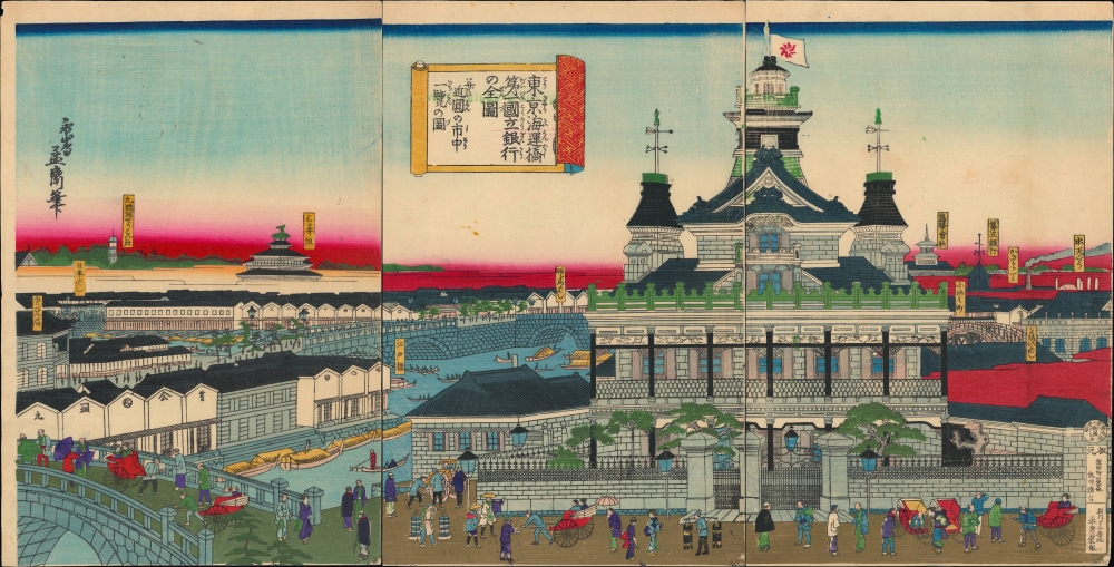
東京海運橋第一國立銀行の全圖并近圓の市中一覽の圖/ [Complete View of the First National Bank at the Tokyo Kaiun Bridge, with a View of the Nearby Cityscape].
$3,000.00
Acquire
- Digital Map Information
- Suitable for large format printing
- Full resolution TIFF file
- ICC color profile embedded
- Delivered instantly via download link
This stunning 1876 Ukiyo-e triptych, depicting the Dai-Ichi Bank Building in Tokyo, was drawn by the artist Yoshitora and published by Takekawa Seikichi. Both the bank and its building, along with several other financial institutions in the same area, were key signifiers of Japan's modernization in the early Meiji period. (more details)
Foundation of the mapping of Arabia.
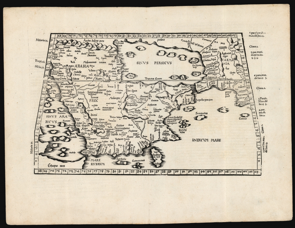
[Tabula Sexta Asiae].
$2,750.00
Acquire
- Digital Map Information
- Suitable for large format printing
- Full resolution TIFF file
- ICC color profile embedded
- Delivered instantly via download link
This is Laurent (Lorenz) Fries' 1522 map of Arabia, among the earliest acquirable maps of the Arabian Peninsula. Although presenting 2nd-century Ptolemaic geography, this map remained accurate and relevant and one of the best maps of the peninsula available. (more details)
Reconstructing Italy after World War I.
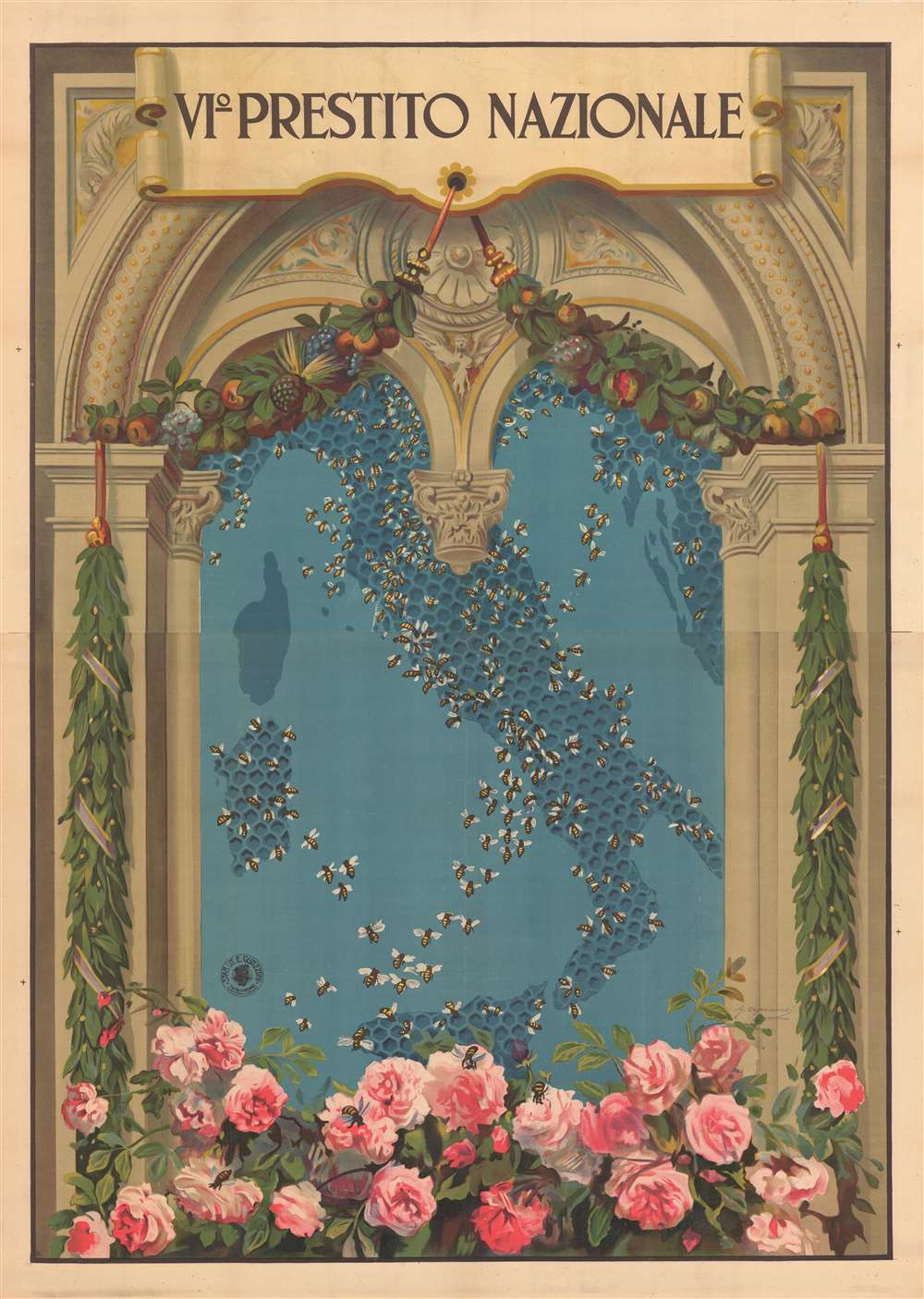
Vio Prestito Nazionale.
$1,900.00
Acquire
- Digital Map Information
- Suitable for large format printing
- File Size: 226.11 MB
- File Type: ZIP / TIFF
- ICC color profile embedded
- Delivered instantly via download link
A spectacular large-format post-World War I (1914 - 1918) c. 1920 propaganda broadside and map of Italy promoting the Sixth National Loan (VIo Prestito Nazionale) by the famous Italian illustrator Giovanni Capranesi. In the frame of an Italian baroque window, the map illustrates Italy against a blue sky. Italy takes the form of a honeycomb, with hundreds of 'honeybees' diligently working to rebuild the war-ravaged nation. (more details)
Revival-tent map of the Holy Land.
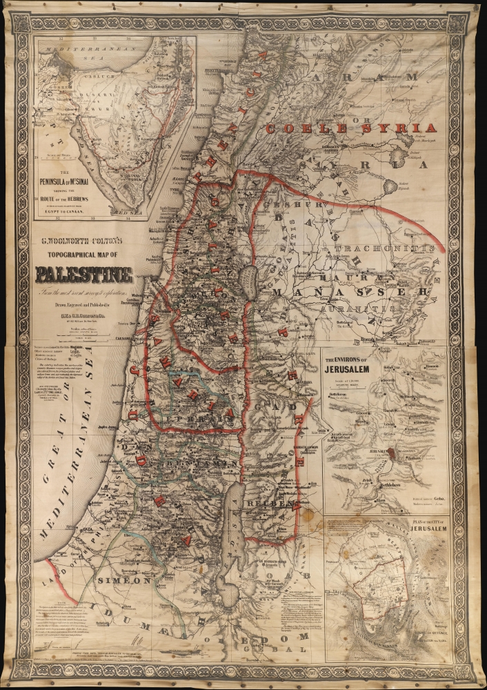
G. Woolworth Colton's Topographical Map of Palestine From the most recent surveys and exploration.
$1,800.00
Acquire
- Digital Map Information
- Suitable for large format printing
- File Size: 1094.81 MB
- File Type: ZIP / TIFF
- ICC color profile embedded
- Delivered instantly via download link
This is G. Woolworth Colton's large map of the Holy Land / Palestine / Israel, which has here been reformatted and revised for missionary field use. The map is printed on cloth and blown up to an enormous 50 x 71 inches - ideal for use in evangelical tents. The use of lithography on cloth also made the map more durable and 'packable' than its paper counterparts. (more details)
Lucien Boucher limited edition.
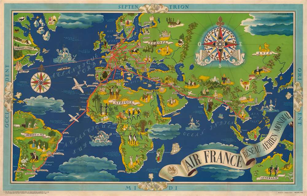
Air France Réseau Aérien Mondial.
$1,650.00
Acquire
- Digital Map Information
- Suitable for large format printing
- File Size: 152.06 MB
- File Type: ZIP / TIFF
- ICC color profile embedded
- Delivered instantly via download link
This is a 1937 Lucien Boucher pictorial art-deco map of the world promoting the global routes of Air France. It is one of a sereis of iconic maps Boucher issued at the dawn of the Air Age. (more details)