
NEW ACQUISITIONS
The movements of General William J. Worth's during the Battle of Churubusco, Mexican-American War.
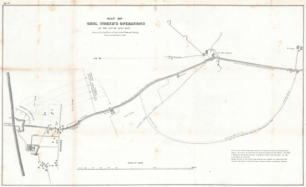
Map of Genl. Worth's Operations on the 20th of August, 1847.
$250.00
Acquire
- Digital Map Information
- Suitable for large format printing
- Full resolution TIFF file
- ICC color profile embedded
- Delivered instantly via download link
This is an 1847 Edmund Hardcastle map of the actions of General William Jenkins Worth's division during the Battle of Churubusco which took place near the end of the Mexican-American War. Oriented towards the east, the map depicts the battlefield from the bridge ... (more details)
Ending the stalemate.
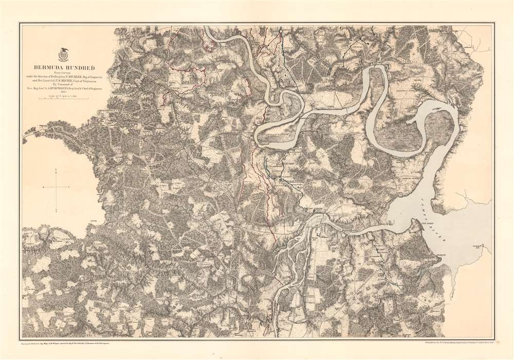
Bermuda Hundred.
$375.00
Acquire
- Digital Map Information
- Suitable for large format printing
- File Size: 48.99 MB
- File Type: ZIP / TIFF
- ICC color profile embedded
- Delivered instantly via download link
This is an 1867 John Weyss and Nathaniel Michler map of the Bermuda Hundred Campaign during the American Civil War. The map depicts the region from the Dunnson farm to the Jordan's Point Lighthouse on the James River and from Chaffin's Bluff and Drury's (Drewry's) Bluff to the J. Mason farm. (more details)
Saigon shortly after the creation of Saigon-Cholon.

Plan de la Région Saigon-Cholon.
$1,500.00
Acquire
- Digital Map Information
- Suitable for large format printing
- File Size: 32.32 MB
- File Type: ZIP / TIFF
- ICC color profile embedded
- Delivered instantly via download link
A rare c. 1935 map of Saïgon or Ho Chi Minh City, Vietnam, at the time French Indochina. The map is oriented to the northwest and covers both Saigon and Cholon from Saïgon River (VieSông Sài Gòn) to Bình Tiên in Cholon. An elaborate scale in the lower left identifies 144 numbered locations, among them religious buildings, police buildings, hospitals, theatres and cinemas, consulates, schools, and gardens. (more details)
Drypoint etching of Istanbul.
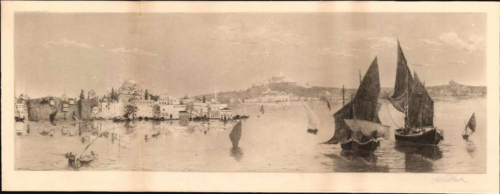
[Istanbul]
$750.00
Acquire
- Digital Map Information
- Suitable for large format printing
- File Size: 19.79 MB
- File Type: ZIP / TIFF
- ICC color profile embedded
- Delivered instantly via download link
This is a scarce 1901 drypoint view of Istanbul / Constantinople published by James Tyroler. The view looks north on the Golden Horn from across the Bosporus. The distinctive domes and minarets of the Blue Mosque are clearly recognizable. In the distance the waterfront Dolmabahçe Palace is discernable. The foreground is occupied by sailing and fishing vessels. (more details)
Promotes the ideas of universal rights.
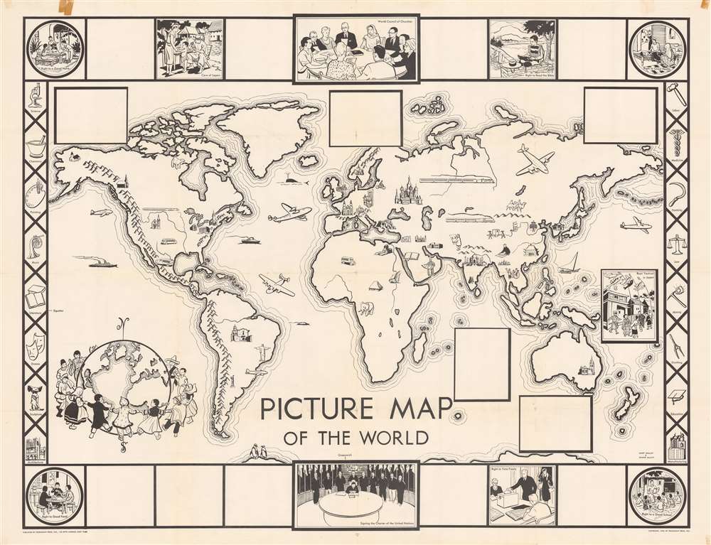
Picture Map of the World.
$550.00
Acquire
- Digital Map Information
- Suitable for large format printing
- Full resolution TIFF file
- ICC color profile embedded
- Delivered instantly via download link
This is a 1948 Janet Smalley and Jeanne McLavy pictorial map of the world. Icons placed across the world highlight historic landmarks, such as the Lincoln Memorial, Cristo Redentor in Rio de Janeiro, the Sphinx at Giza, the Acropolis in Athens, St. Basil's Cathedral in Moscow, and the Taj Mahal in Agra, India. Other icons illustrate trains, planes, and buses, moving the world's people from one place to another. Churches appear throughout the world as well, although many are not identifiable. Penguins appear along the bottom border. Five blank boxes are scattered around the map, likely meant to highlight cultural events worldwide, since one box contains an illustration of the Boy's Festival in Japan. (more details)
The explorations of the HMS Alceste in East Asia.
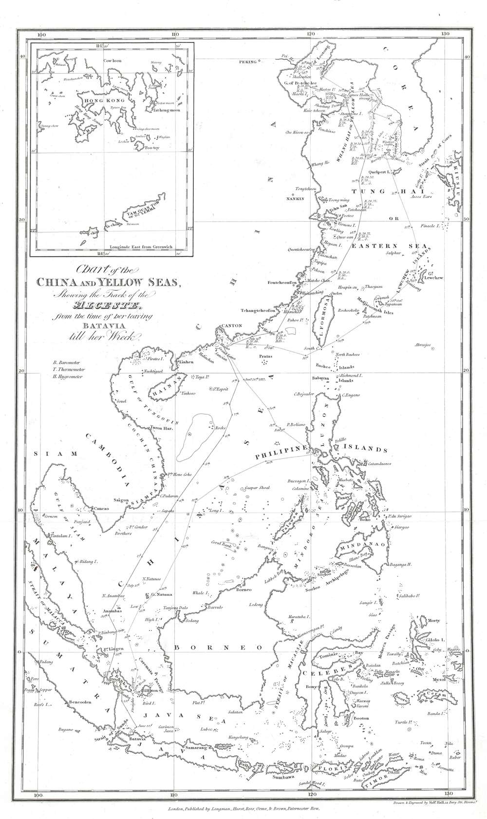
Chart of the China and Yellow Seas, Showing the Track of the Alceste, from the time of her leaving Batavia till her wreck.
$400.00
Acquire
- Digital Map Information
- Suitable for large format printing
- Full resolution TIFF file
- ICC color profile embedded
- Delivered instantly via download link
This is an 1818 Sidney Hall map of East Asia tracing the route of the Alceste during its time in the region serving the Amherst Embassy. The map depicts the region from China to Kyushu (Kiusiu), one of the Japanese home islands, and from Liaodong Bay to Indonesia. Every coastline is illustrated in incredible detail, which appears in stark contrast to the completely blank inland areas. Major cities, such as Beijing (Pekin), Nanjing (Nankin), Guangzhou (Canton), and Saigon (Ho Chi Minh City), are identified. Many islands in the Philippines are labeled, including Luzon, Mindoro, Leyte, Samar, Mindanao, and Cebu (Zebu). Taiwan (Formosa), Malaya, Sumatra, Java, Borneo, Celebes, and Timor are also identified. An inset situated in the upper left corner focuses on Hong Kong and Kowloon. (more details)
Comments on the region's wild birds and the porpoises seen in the river.
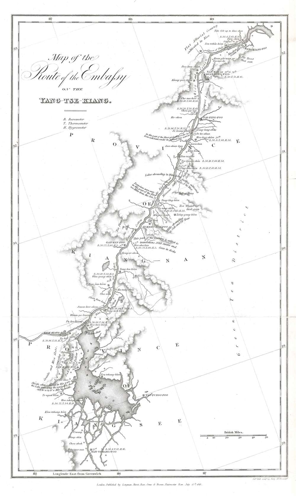
Map of the Route of the Embassy on the Yang-Tse-Kiang.
$400.00
Acquire
- Digital Map Information
- Suitable for large format printing
- Full resolution TIFF file
- ICC color profile embedded
- Delivered instantly via download link
This is an 1818 Sidney Hall map of part of the Yangtze River in China. Depicting from Zhenjiang south to Poyang Lake, incredible detail and additional commentary provide astonishing insight into a part of the Amherst Embassy's journey from Beijing to Guangzhou. Nearly all the commentary refers to the terrain and characteristics of the river, including riverbank composition, channel width, and navigation hazards. The features of the surrounding land are also remarked upon, such as the crops grown and whether the terrain was flat or hilly. One comment states that porpoises were seen in the river, while others wonder at the number of wild birds living in the area, including geese and swans. Cities, like Zhenjiang and Nanjing, are identified, as are numerous other towns and villages along the way. This map was reduced from a larger map produced by the Jesuits and included greater detail than the Jesuit map. (more details)
A railroad map of Mexico and connections t o American railroads created for American tourists.
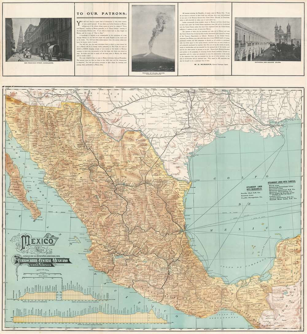
Mexico Mapa de las Lineas de la Compañia Limitada del Ferrocarril Central Mexicano y Conexiones.
$350.00
Acquire
- Digital Map Information
- Suitable for large format printing
- File Size: 46.88 MB
- File Type: ZIP / TIFF
- ICC color profile embedded
- Delivered instantly via download link
This is a 1904 Mexican Central Railway railroad map of Mexico. The map depicts the region from Dallas, Texas, to Guatemala and from southern Baja California to the western Yucatan Peninsula. Created for the American tourist, thick black lines trace the lines of the Mexican Central Railway from Ciudad Juarez south to Balsas and Manzanillo on Mexico's Pacific Coast. Major cities are labeled by large block letters, including Tampico, Monterey, Chihuahua, Cuernavaca, and Mexico City. Smaller stops along the Mexican Central's routes are also identified, as are cities not served by the Mexican Central. It is unclear precisely what the dashed lines mean, but these likely refer to planned extensions of the Mexican Central's rail network. Thin dashed lines in the Gulf of Mexico highlight ferry routes, many of which operate out of Tampico and Veracruz. Three profiles illustrating changes in elevation along the Mexican Central's network are included in the lower-left corner and provide viewers with some understanding of the diversity of Mexico's topography. (more details)
Is centralized wealth a threat to the middle class?
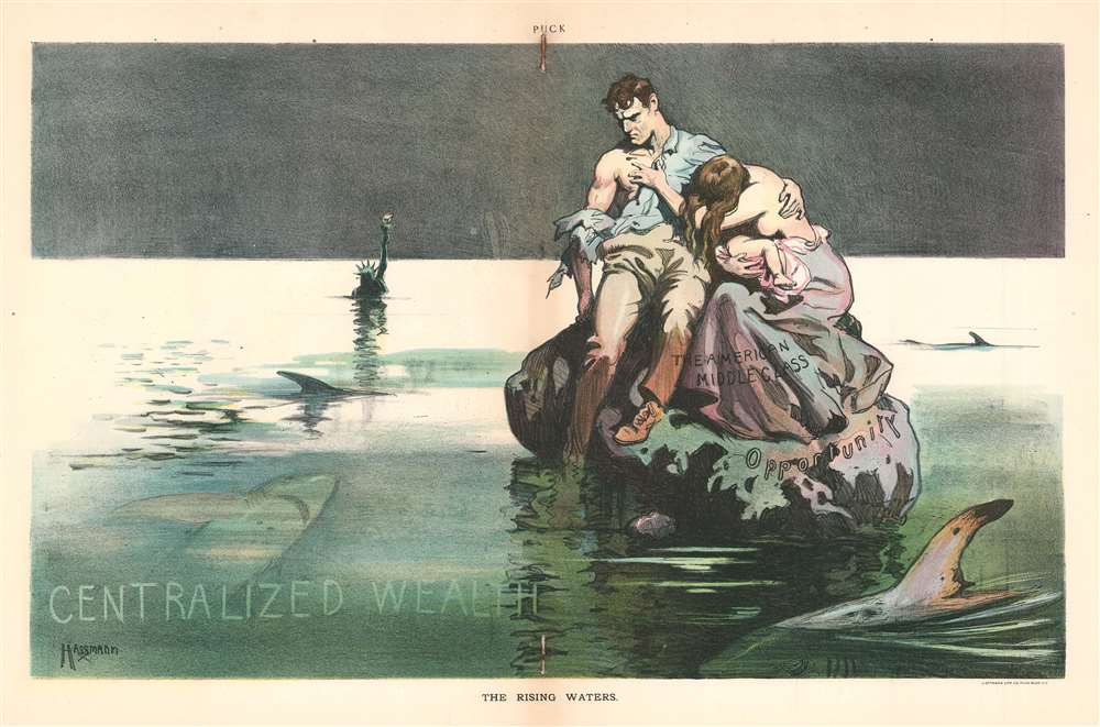
The Rising Waters.
$350.00
Acquire
- Digital Map Information
- Suitable for large format printing
- File Size: 22.19 MB
- File Type: ZIP / TIFF
- ICC color profile embedded
- Delivered instantly via download link
This is a 1906 Carl Hassmann political cartoon lamenting the inequalities in American society and decrying the plight of middle- and lower-class Americans and the ever-increasing threat posed by centralized wealth to these classes. A cartoon that could easily be printed today, Hassmann depicts the Middle Class as a man, woman, and infant dressed in torn clothing and stranded on a rock labeled 'Opportunity.' 'Opportunity' is surrounded by continually rising, shark-infested waters, labeled simply as 'Centralized Wealth.' The Statue of Liberty appears in the background, with the water up to her shoulders. Even in 1906, Americans were concerned about the amount of wealth held by the elite and the distance between the haves and the have-nots. An unregulated economy and corporate abuses (at least the second part of that sounds very familiar) caused Americans to worry about their future and the threats that concentrated wealth posed to the average American and to liberty itself. (more details)
Beautiful map of the East Indies.
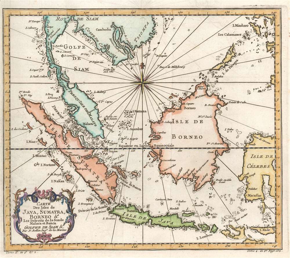
Carte des Isles de Java, Sumatra, Borneo et les détroits de la Sonde Malaca et Banca Golphe de Siam.
$275.00
Acquire
- Digital Map Information
- Suitable for large format printing
- Full resolution TIFF file
- ICC color profile embedded
- Delivered instantly via download link
This is an attractive c.1780 Jacques Nicholas Bellin map of the East Indies. The map depicts from Siam (Thailand) and Tsiompa (modern day Vietnam) south to include the Sumatra, Java, and Borneo. The Malay Peninsula (Malacca), Singapore, Borneo, Sumatra, Java, and part of Celebes (Sulawesi), are included. Impressive detail appears along all the coastlines, however little inland information is present, as is common for Bellin's nautical charts. Singapore remains unidentified, but several other lesser islands are noted including Tioman Island (Poulo ou I. Timon) and Penang. A beautifully engraved rocco title cartouche adorns the lower left corner of the map. (more details)
A beautiful example.
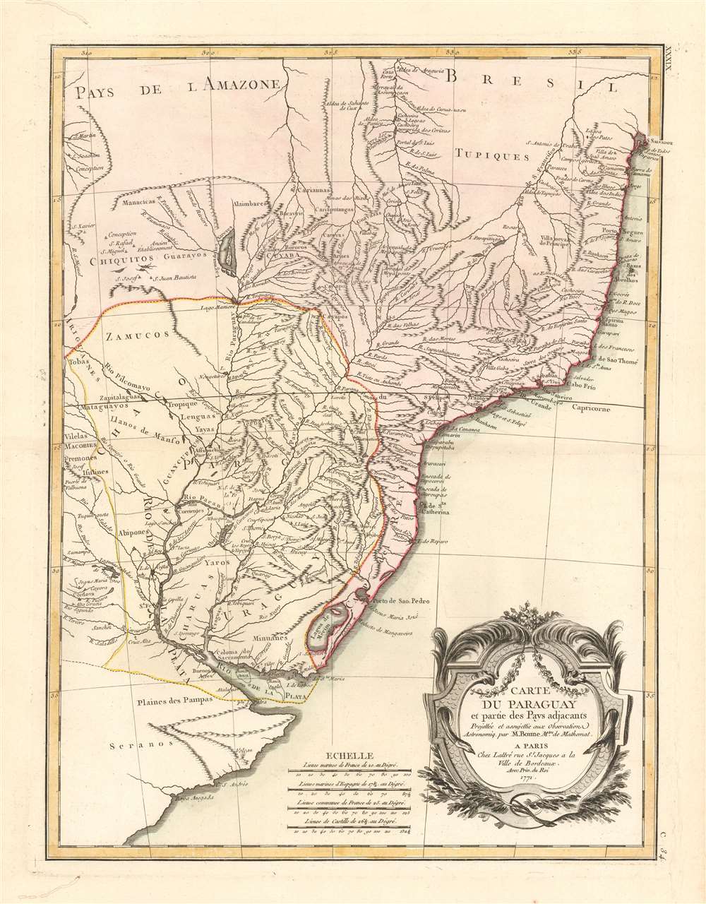
Carte du Paraguay et partie des Pays adjacants.
$250.00
Acquire
- Digital Map Information
- Suitable for large format printing
- Full resolution TIFF file
- ICC color profile embedded
- Delivered instantly via download link
A beautiful example of Rigobert Bonne's 1771 map of Paraguay. It shows the Governorate of Paraguay just before the 1776 institution of the Viceroyalty of Río de la Plata, but shortly after the 1767 expulsion of the Jesuits; thus illustrating the extent of Jesuit exploration and missionary work in the interior of South America just prior to the Spanish Empire's relegation of Paraguay to the status of a provincial outpost of Buenos Aires, and a buffer state against the Portuguese in Brazil. The map embraces the Rio de la Plata watershed well into Brazil and the Amazon, Includes the modern-day nations of Uruguay, Paraguay, and parts of adjacent Brazil and Argentina. Rich detail is offered throughout, naming mountains, rivers, national boundaries, cities, regions, and indigenous tribes. Identifies Asuncion, Buenos Aires, Rio de Janiero, and numerous other important South American cities. (more details)
Shanghai at the height of the 'Concession Period.'
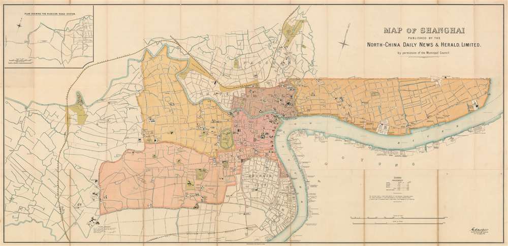
Map of Shanghai Published by the North-China Daily News and Herald, Limited.
$17,500.00
Acquire
- Digital Map Information
- Suitable for large format printing
- File Size: 62.63 MB
- File Type: ZIP / TIFF
- ICC color profile embedded
- Delivered instantly via download link
An extremely rare 1918 North-China Daily News and Herald map of Shanghai, China. Focusing on the Bund and the International Settlement, the map extends from the Shanghai Hangchow Ningpo Railroad in the west to Post Garden and the Standard Oil facility in the east. Derived roughly from the Municipal Council Map of the same year, this map is intensely detailed, with streets, businesses, clubs, parks, government offices, and civic institutions noted. Just outside the International Settlement boundary the Shanghai Jewish Club is noted. (more details)
Magnificent, iconic, and highly detailed twenty sheet wall map of Paris, France.
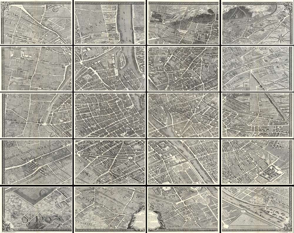
Plan de Paris.
$3,650.00
Acquire
- Digital Map Information
- Suitable for large format printing
- File Size: 27.99 MB
- File Type: ZIP / TIFF
- ICC color profile embedded
- Delivered instantly via download link
This is the c. 1900 Taride edition of Louis Bretez and Michel-Etienne Turgot's monumental 1739 map of Paris. Turgot's map of Paris is possibly the most ambitious urban mapping ever undertaken. This map shows the whole of 18th century Paris and offers an expansive perspective on the city before Baron Georges Eugène Haussmann's 19th-century redesign. Turgot, who held the mayor-like office of Prevôt des Marchands de Paris , commissioned Louis Bretez and Claude Lucas to produce this map. Oriented to the east on an axonometric projection, this map is best understood as an aerial view where in every building, window, tree, shadow, and park are shown from an equidistant aerial perspective. In order to produce the thousands of sketches and surveys required to complete this map, Bretez was issued a permit to enter every building in Paris. It took the team nearly five years of exhaustive sketching and surveying to assemble this masterpiece. (more details)
Two rare silk woven Stevengraphs with original board and frame.
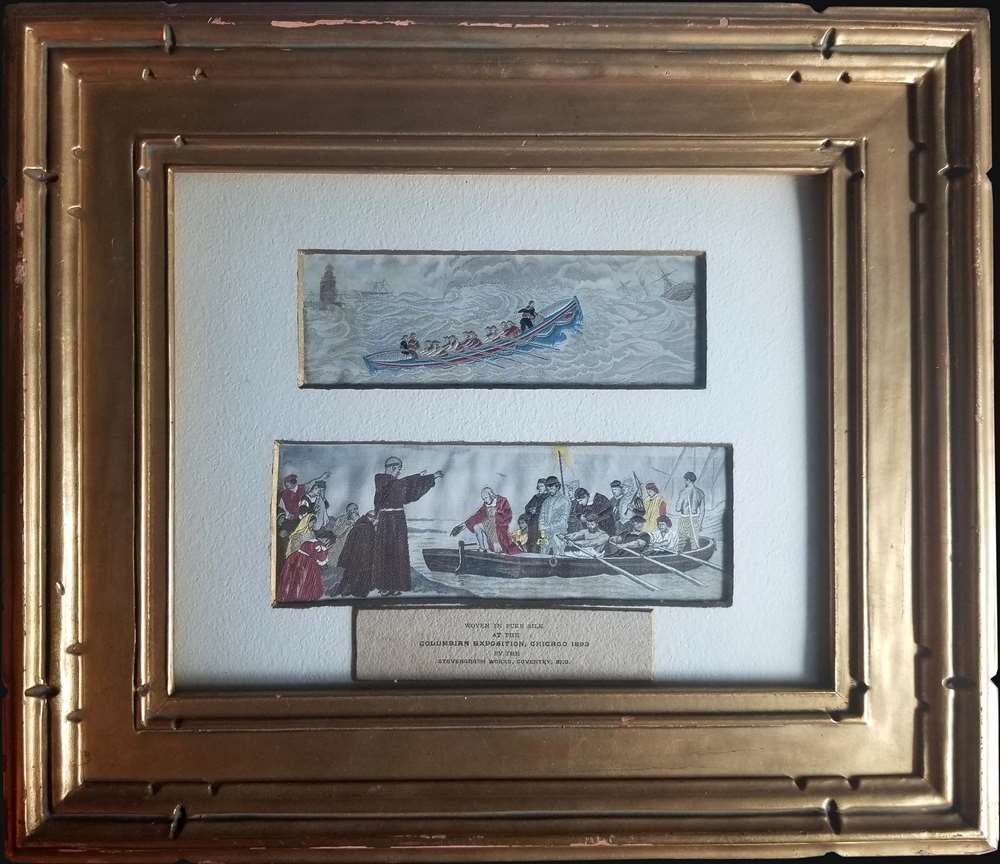
[Called to the Rescue. Heroism at Sea.] Columbus Leaving Spain.
$950.00
Acquire
- Digital Map Information
- Suitable for large format printing
- Full resolution TIFF file
- ICC color profile embedded
- Delivered instantly via download link
This is a pair of 1893 silk 'Stevengraphs' weaved at the 1893 Chicago World's Fair Columbian Exposition. The views present maritime themes, although the similarity between the two ends with the rowboats. (more details)
Highlights illegal fur seal hunting in the Bering Sea
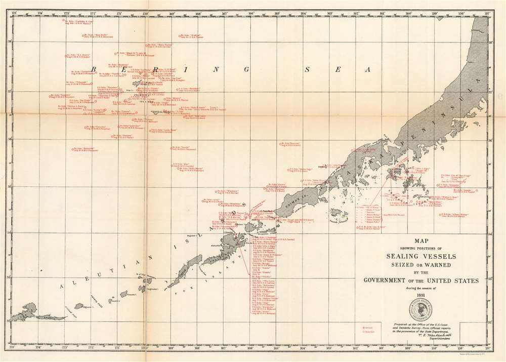
Map Showing Positions of Sealing Vessels Seized or Warned by the Government of the United States during the season of 1891.
$350.00
Acquire
- Digital Map Information
- Suitable for large format printing
- File Size: 8.67 MB
- File Type: ZIP / TIFF
- ICC color profile embedded
- Delivered instantly via download link
This is a rare c.1891 U.S. Coast and Geodetic Survey map of the Aleutian Islands highlighting sealing vessels warned or seized by the U.S. government during the 1891 season. Depicting from Atka Island to the Alaska Peninsula, the map identifies nearly 100 vessels boarded or seized by the United States. These vessels hailed from the United States and Britain and were stopped sometime between June and August 1891. Each citation references the name of the ship in question, whether it was boarded or seized and on what date, and whether a British or American ship stopped the offender. (more details)
Attractive French Map of the Northern Extremities of Russia.
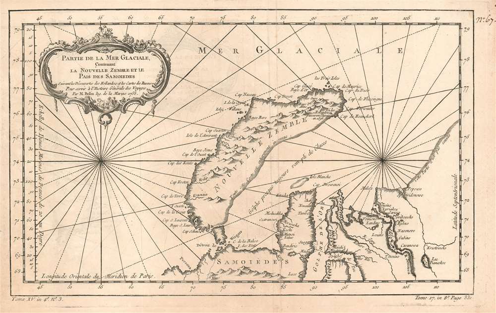
Partie de la Mer Glaciale, Contenant La Nouvelle Zemble et le Pais de Samoiedes suivant les Découvertes des Hollandois et les Cartes des Russes Pour servir à l'Histoire Générale des Voyages Par M. Bellin Ing. de la Marine 1758.
$250.00
Acquire
- Digital Map Information
- Suitable for large format printing
- Full resolution TIFF file
- ICC color profile embedded
- Delivered instantly via download link
This is a 1758 Bellin map of the northwestern coast of Russia, focusing on the island of Nova Zembla, the mouth of the River Ob, and the limits of European efforts to achieve a northeast passage. The eastern shore of Nova Zembla is sketched in and noted to be entirely unknown; The Kara sea is not named, but it is accurately described as a gulf 'nearly always full of ice.' The site of Barentz's famous refuge in the north of Nova Zembla is marked Ici les Hollandois basserent l'hiver en 1596. The Ob and the Yenisea rivers are shown with reasonable accuracy, but beyond the mouth of the unnamed Pyasina River, the coastline is conjectural and, again, n'est pas connue.
Despite its appearance in Prévost's Histoire générale des voyages - a work perhaps better known for its imaginative flourish than its factuality - Bellin drew on state-of-the-art knowledge for the maps he contributed. Though the map was intended to contextualize Prévost's discussion of Russia's indigenous tributaries to the Tsars, Bellin's map presents a reasonably accurate depiction of what western Europeans understood of the geography of this remote region. (more details)
Despite its appearance in Prévost's Histoire générale des voyages - a work perhaps better known for its imaginative flourish than its factuality - Bellin drew on state-of-the-art knowledge for the maps he contributed. Though the map was intended to contextualize Prévost's discussion of Russia's indigenous tributaries to the Tsars, Bellin's map presents a reasonably accurate depiction of what western Europeans understood of the geography of this remote region. (more details)
A time of increasing tensions between expansionist Russia and Qing China.

Carte de la Tartarie Orientale Pour Servir a l'Histoire Générale des Voyages Tirée des Cartes Levees par les P.P. Jesuites.
$225.00
Acquire
- Digital Map Information
- Suitable for large format printing
- Full resolution TIFF file
- ICC color profile embedded
- Delivered instantly via download link
This is a 1749 Bellin map of the frontier between Russia and China, during a period of increasing pressure between the expanding Russian Empire and the Qing dynasty. The map covers the Chinese provinces of Jilin and Heilongjiang, and the Russian Amur Oblast, Khabarovsk Krai, Primorsky Krai and Sakhalin Island. (more details)
Bears manuscript notations following possible road trips.
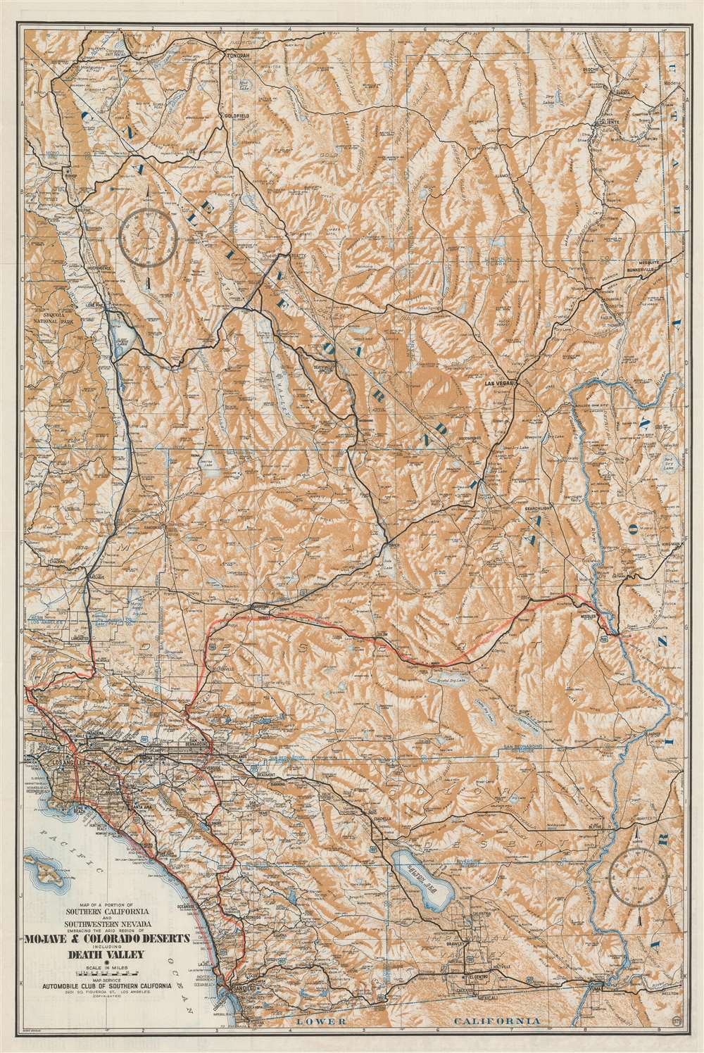
Map of a Portion of Southern California and Southwestern Nevada Embracing the Arid Region of Mojave and Colorado Deserts Including Death Valley.
$300.00
Acquire
- Digital Map Information
- Suitable for large format printing
- Full resolution TIFF file
- ICC color profile embedded
- Delivered instantly via download link
This is a c. 1933 Automobile Club of Southern California map of southern California and southwestern Nevada. Depicting the region from Tonopah, Nevada to Baja California and from the Sequoia National Park to Arizona and Utah, the region's major highways snake their way across the barren landscape. Cities and towns are labeled throughout, along with rivers and lakes. Its many mountain ranges are illustrated artistically and identified, but elevations are not indicated. Red and blue manuscript notations, which appear to be drawn in crayon, trace what are presumably road trip itineraries, but that is unclear. Perhaps this particular map was used to keep a child entertained while their parents explored the area during two separate trips. (more details)
Labels the first railroad in New Jersey - the Camden and Amboy Railway.
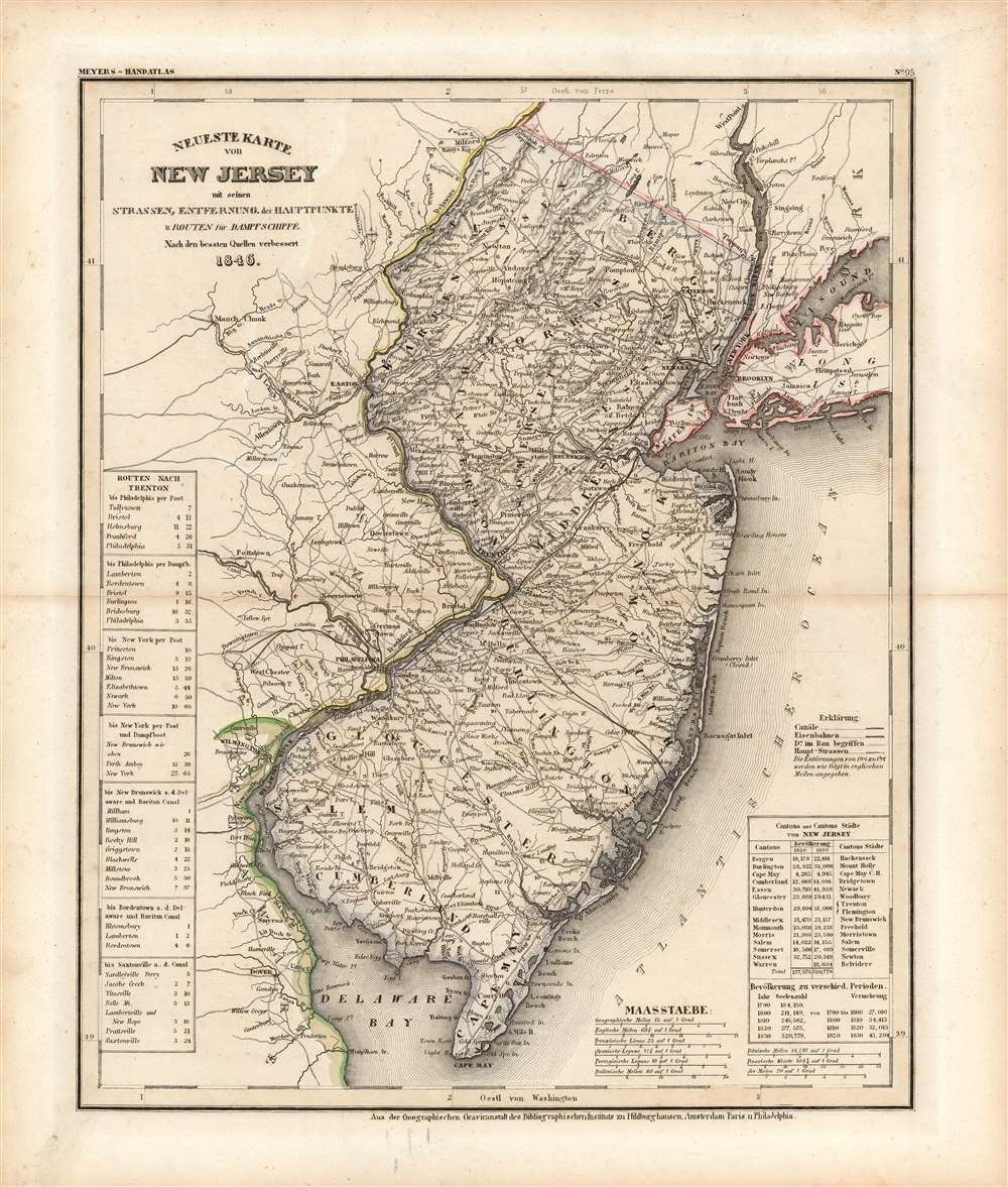
Neueste Karte von New Jersey mit seinen Strassen, Entfernung, der Hauptpunkte u. Routen fur Dampfschiffe.
$250.00
Acquire
- Digital Map Information
- Suitable for large format printing
- Full resolution TIFF file
- ICC color profile embedded
- Delivered instantly via download link
This is an 1846 Joseph Meyer map of New Jersey. A transportation map at its finest, Meyer focuses on the state's roads, railways, and canals. Three railroads traverse the state, but only the Camden and Amboy Railway is identified by name. The Camden and Amboy was the first railroad in operation in New Jersey and began running between Bordentown and Hightstown in 1831, only fifteen years before this map was published! Numerous cities, towns, and villages are labeled throughout, and distances between them are marked in miles. To complete the aesthetic of a transportation map, routes between Trenton and six regional cities (New York appears twice) provide an idea of how best to get from one place to the other and how long it will take. (more details)
A detailed chart of the environs of the capital of Menorca!
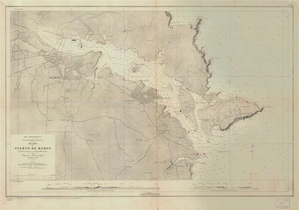
Mar Mediterráneo. Islas Baleares. Menorca. Plano del Pureto de Mahon.
$250.00
Acquire
This is a 1956 Depósito Hidrográfico nautical chart or maritime map of Mahon Port on Menorca in the Balearic Islands. Depicting from just west of Mahon (the capital of Menorca) to the Mediterranean Sea and from Cabo Negra to the Cala de San Esteban, the map presents the region's navigational situation. The coastlines are illustrated with fantastic attention to detail, and depth soundings (given in meters) allow mariners a complete understanding of navigational hazards. Manuscript red and green circles mark lights and beacons. Both Mahon and Villacarlos are detailed as well, although no streets are labeled. The military hospital on Hospital Island, the Mahon and Villacarlos cemeteries, and the ruins of the Malborough Fort are also identified. Profile views of the region from the northwest and the southwest are situated just above the bottom border. (more details)