
NEW ACQUISITIONS
Catholic Missions around Shanghai and Nanjing.
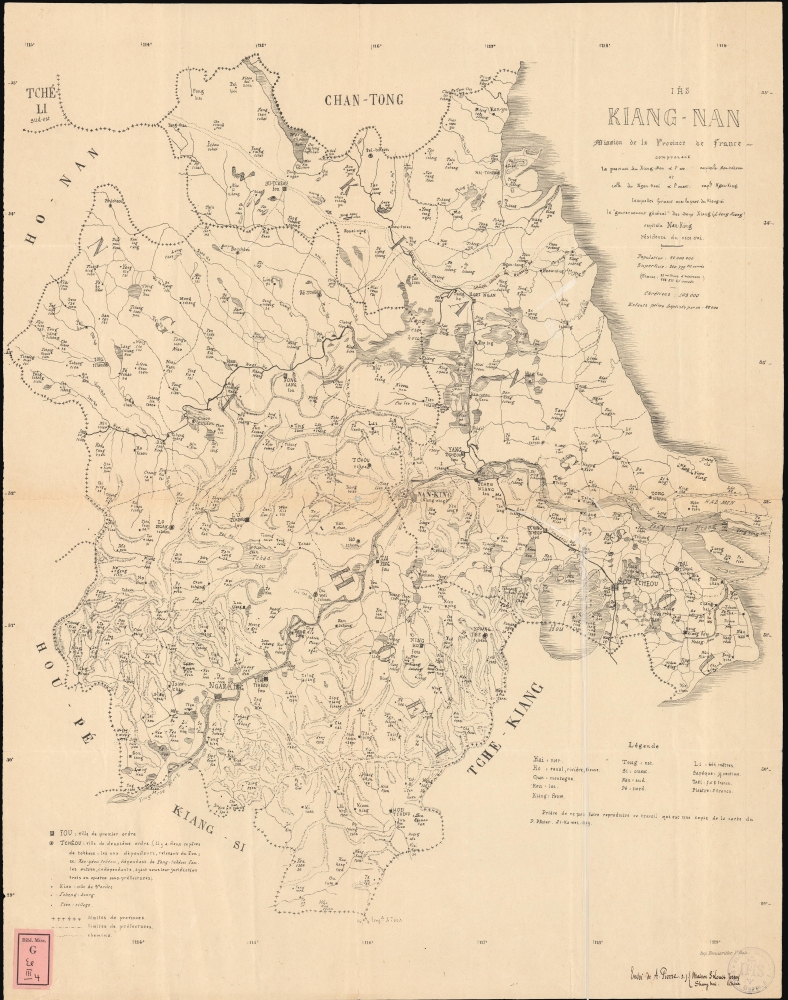
Kiang-Nan Mission de la Province de France comprenant la province du Kiang-Sou a l'est capitale Sou-tcheou et celle du Ngan Hoei a l'ouest captle Ngan-King lesquelles forment avec la prov. du Kiang-si le 'gouvernement general' des-deux Kiang (Leang-Kiang) capitale residence du vice roi.
$2,500.00
Acquire
- Digital Map Information
- Suitable for large format printing
- File Size: 41.69 MB
- File Type: ZIP / TIFF
- ICC color profile embedded
- Delivered instantly via download link
A rare 1879 Aloys Pfister French Jesuit missionary map of the Kiang-nan Vicariate, corresponding to the former Jiangnan Province (江南), China, produced by the Xujiahui Library (Zi-ka-wei), located just outside Shanghai. The map presents the state-of-the-art mission cartography of the vast Kiang-nan Vicariate, highlighting even small villages - all taken directly from firsthand missionary accounts. (more details)
Prang chromolithographic proof - ex. Jay Last collection.

Prang's Easter Cards.
$2,200.00
Acquire
- Digital Map Information
- Suitable for large format printing
- File Size: 13.73 MB
- File Type: ZIP / TIFF
- ICC color profile embedded
- Delivered instantly via download link
A striking c. 1886 chromolithograph proof print of an advertisement for Prang's Easter Card, produced by Louis Prang. As one of the masters of chromolithography, seeing Prang's work in progress through this piece is significant. Note the registration marks and plate colors on display. The present example is a nine-plate lithograph signed at bottom left by the chromist, Daniel Fausel. (more details)
Unrecorded state of an iconic Boucher Air France pictorial map.
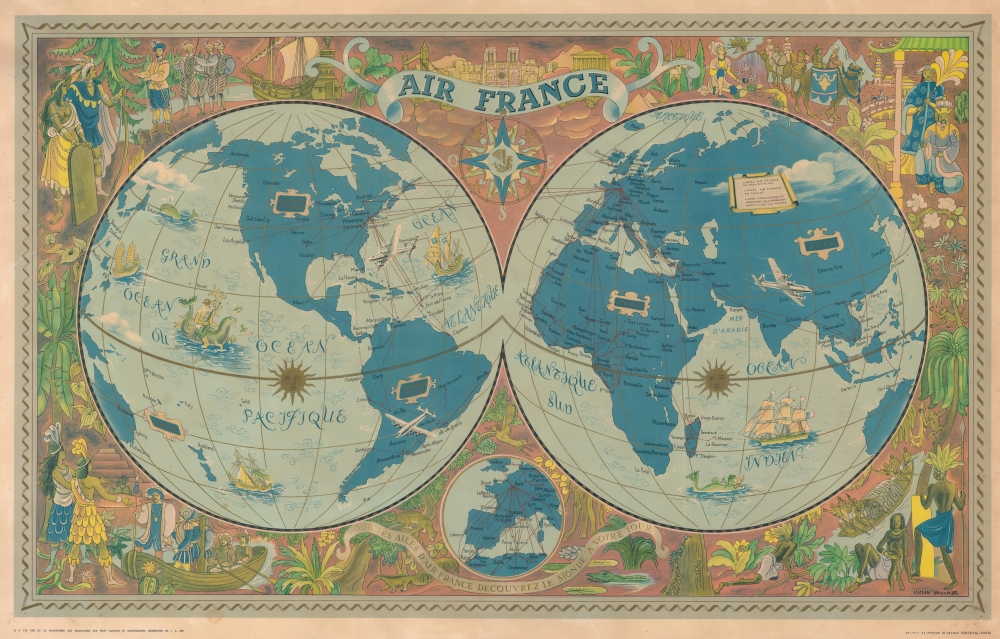
Air France. Sur les Ailes d'Air France Decouvrez le Monde a Votre Tour.
$2,000.00
Acquire
- Digital Map Information
- Suitable for large format printing
- File Size: 127.87 MB
- File Type: ZIP / TIFF
- ICC color profile embedded
- Delivered instantly via download link
This is a 1952 Lucien Boucher promotional Air France map of the world, presented here in an unrecorded state, possibly in a proof state. (more details)
The Gold Rush in San Francisco.
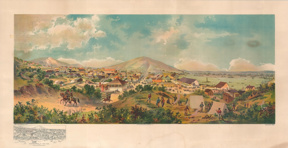
San Francisco in July 1849 from Present Site of S.F. Stock Exchange.
$2,000.00
Acquire
- Digital Map Information
- Suitable for large format printing
- File Size: 43.53 MB
- File Type: ZIP / TIFF
- ICC color profile embedded
- Delivered instantly via download link
A fine 1894 chromolithograph George Henry Burgess view of San Francisco depicting the city in 1849, at the height of the California Gold Rush. Burgess drew this view based on sketches drawn from life in 1849, shortly after his arrival in San Francisco. He compiled these into a painting in 1891. It was transferred to lithographic stone, as here, in 1894. The view looks westward along Montgomery Street with Telegraph Hill prominent in the distance. A temporary camp of newly arrived 49ers fills the foreground, with two mounted Californios riding out of town at left. New construction and warehouses occupy the center, with the busy harbor at right bringing in waves of 49ers. This is essentially today's Financial District. There is a key to the map in the lower left, identifying all prominent locations throughout the growing city. (more details)
One of the largest printed views of Ljubljana.
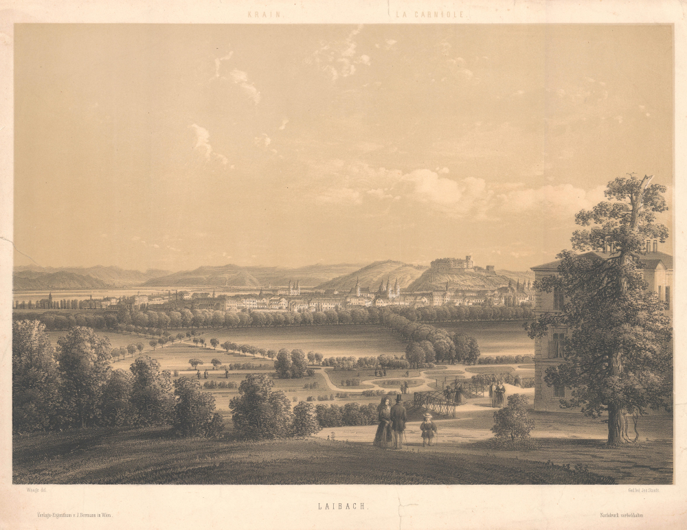
Laibach.
$1,800.00
Acquire
- Digital Map Information
- Suitable for large format printing
- File Size: 20.14 MB
- File Type: ZIP / TIFF
- ICC color profile embedded
- Delivered instantly via download link
This is a scarce 1850 two-color chromolithograph view of Ljubljana (Laibach), Slovenia, by the Austrian artist Karl Waage. It is one of the largest printed views of Ljubljana of the 19th century. (more details)
Honolulu in all of its pictorial glory!
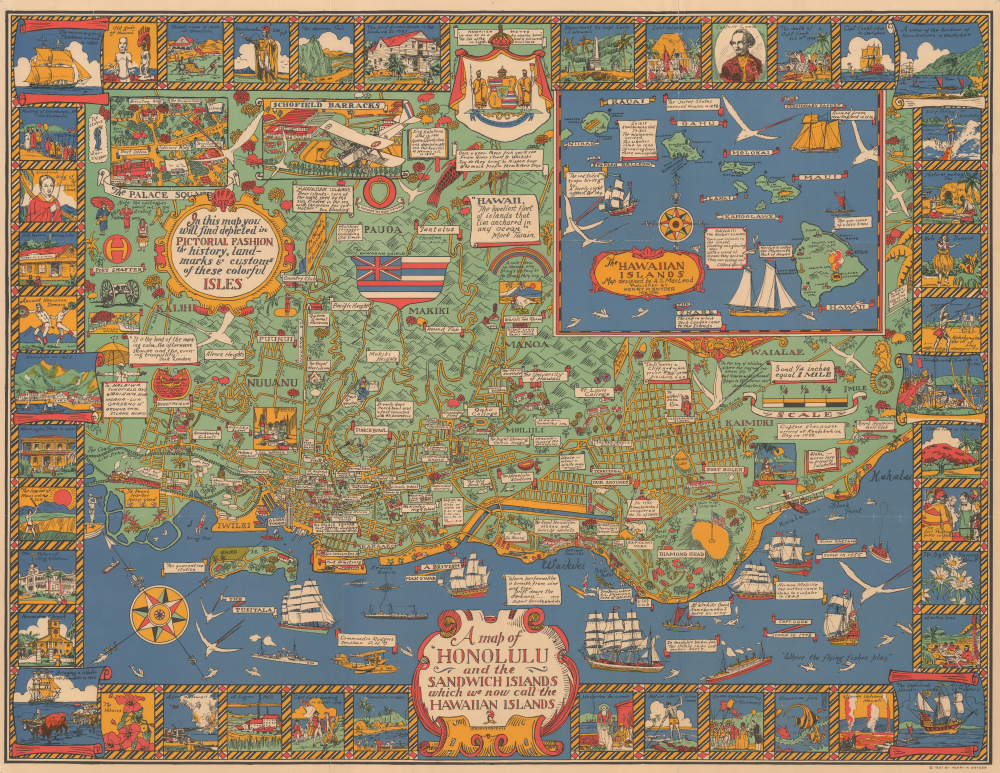
A Map of Honolulu and the Sandwich Islands, which we now call the Hawaiian Islands.
$1,800.00
Acquire
- Digital Map Information
- Suitable for large format printing
- File Size: 43.27 MB
- File Type: ZIP / TIFF
- ICC color profile embedded
- Delivered instantly via download link
This is a whimsical 1927 Alexander Samuel MacLeod pictorial map of Honolulu, Hawaii, issued during the Golden Age of American Pictorial Maps (c. 1920 - 1960). In its own words, the map attempted to depict 'in a pictorial fashion the history, landmarks, and customs of these colorful Isles.' (more details)
Last Days of the Age of Sail.
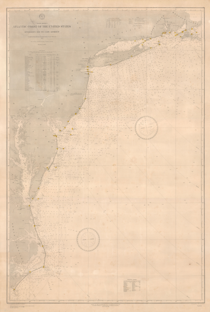
North America Atlantic Coast of the United States Buzzard's Bay to Cape Lookout.
$1,500.00
Acquire
- Digital Map Information
- Suitable for large format printing
- File Size: 73.45 MB
- File Type: ZIP / TIFF
- ICC color profile embedded
- Delivered instantly via download link
This is a rare large-format 1890 nautical chart of the Atlantic Coast of the United States prepared by the U.S. Hydrographic Office. Among other interesting features, the chart has a very clear provenance, having been purchased by Captain Thomas R. Anderson for use aboard the ship Albania. (more details)
S'amuser au soleil!
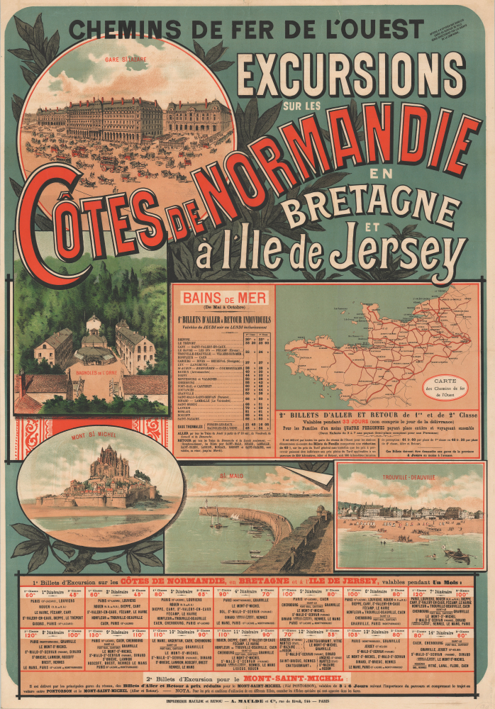
Chemins de Fer de l'Ouest. Excursions sur les Côtes de Normandie en Bretagne et à l'Ile de Jersey.
$1,500.00
Acquire
- Digital Map Information
- Suitable for large format printing
- File Size: 62.03 MB
- File Type: ZIP / TIFF
- ICC color profile embedded
- Delivered instantly via download link
This stunning promotional chromolithograph travel poster of Normandy and Brittany, France, was prepared by A. Maulde et Cie for the Chemins de Fer de l'Ouest (Railroad of the West). Produced in a highly distinctive fin-de-siècle style, it reflects the development of rail infrastructure and the emergence of these areas as tourist destinations in the late 19th century. (more details)
Award-winning Travel Poster for Hong Kong.

Hong Kong.
$1,500.00
Acquire
This is a striking 1969 large-format promotional tourist poster for Hong Kong drawn by David Lam Chun-fai for the Hong Kong Tourist Association. It is highly evocative, giving a strong sense of the city's distinctive urban atmosphere. (more details)
Time, Travel, and Light.
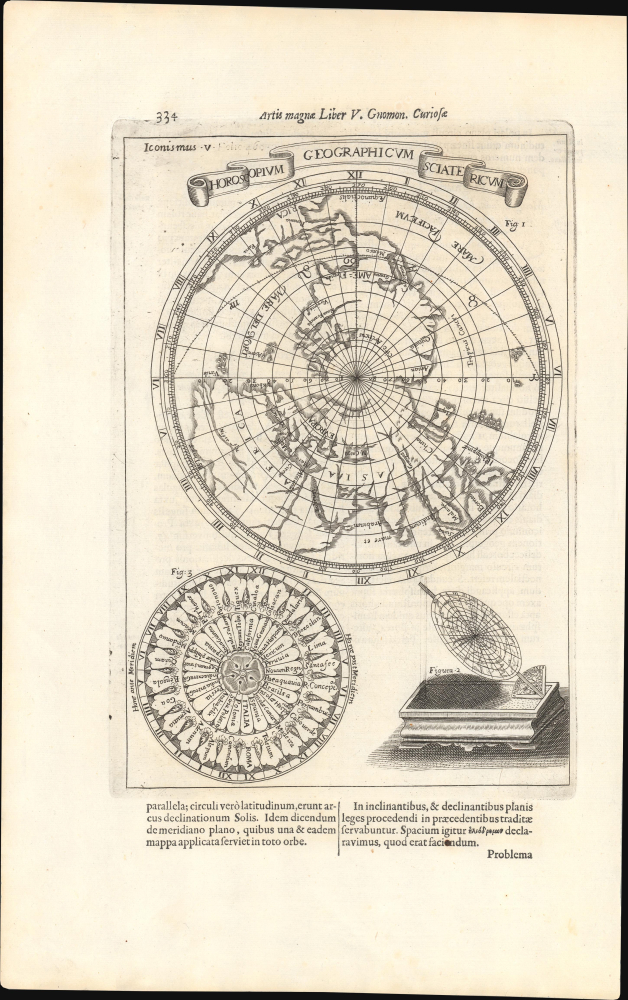
Horoscopium Geographicum Sciatericum.
$1,200.00
Acquire
- Digital Map Information
- Suitable for large format printing
- Full resolution TIFF file
- ICC color profile embedded
- Delivered instantly via download link
This is an absorbing 1671 Athanasius Kircher map and representation of his concept of a 'sciatericum,' a sundial-like device that could be used for both geographic and astrological purposes. The work is characteristic of the thought of Kircher, one of the most original and prolific philosophers of his day, in that it draws on a range of traditions and influences, including mysticism, numerology, and what today would be called astrology. (more details)
Development of suburban Portland - unrecorded!
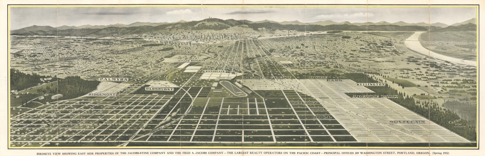
Birdseye View Showing East Side Properties of the Jacobs-Stine Company and the Fred A. Jacobs Company - The Largest Realty Operators on the Pacific Coast - Principal Offices 269 Washington Street, Portland, Oregon. (Spring 1912)
$950.00
Acquire
- Digital Map Information
- Suitable for large format printing
- Full resolution TIFF file
- ICC color profile embedded
- Delivered instantly via download link
This is an unrecorded 1912 Gibson Catlett bird's-eye view of Portland, Oregon, and the many residential subdivisions east of the city. The map captures the development of suburban Portland through an enterprising subdivision and streetcard system. (more details)
Earliest acquirable map of Transylvania.
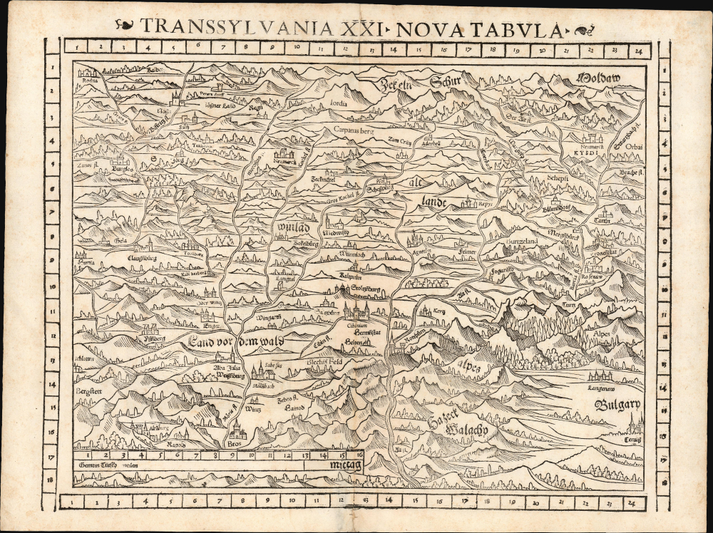
Transsylvania XXI. Nova Tabula.
$850.00
Acquire
- Digital Map Information
- Suitable for large format printing
- Full resolution TIFF file
- ICC color profile embedded
- Delivered instantly via download link
This is a superb example of Sebastian Münster's modern map of Transylvania (part of modern-day Romania) in the desirable 1552 Geographia edition, the only one to include distinctive coordinate borders. It is the earliest acquirable derivative of Johannes Honter's foundational 1532 map of his homeland, Chorographia Transylvaniae. Sybembürgen. Honter's work, a woodcut printed on two sheets, was the first printed map of Transylvania, but Honter was dissatisfied with his work and suppressed it, resulting in the survival of only a single example. Münster's single-sheet copy of Honter's map, first appearing in the 1544 edition of Cosmographia, is thus the earliest acquirable iteration of the first map of this region. (more details)
Missionaries and the Mapping of the Western Pacific.
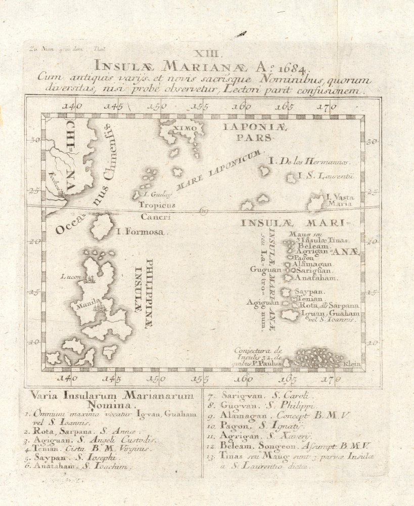
XIII. Insulae Marianae Ao. 1684 cum antiquis variis et novis sacrisque nominibus, quorum diversitas, nisi probé observateur, lectori parit confusionem.
$700.00
Acquire
- Digital Map Information
- Suitable for large format printing
- File Size: 4.31 MB
- File Type: ZIP / TIFF
- ICC color profile embedded
- Delivered instantly via download link
This is Joseph Stöcklein's c. 1726 map of the Mariana Islands and surrounding islands in the western Pacific. Among other features, it is notable for including the existence of islands posited by Father Paul Klein, Stocklein's fellow Jesuit, who developed early maps of this region based on his interactions with Palauan sailors. (more details)
One of the most beloved National Parks.
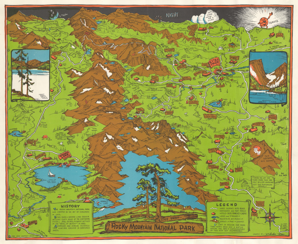
Rocky Mountain National Park.
$550.00
Acquire
- Digital Map Information
- Suitable for large format printing
- File Size: 17.63 MB
- File Type: ZIP / TIFF
- ICC color profile embedded
- Delivered instantly via download link
This is a 1938 Richardson Rome pictorial map of Rocky Mountain National Park and Estes Park, Colorado. Rocky Mountain National Park was one of the most popular national parks in the country when this map was published and remains popular with visitors to this day. Over 4 million visitors marveled at the park's stunning vistas in 2023, making Rocky Mountain National Park the fifth most-visited national park. (more details)
Seminal Map of the Beni, Boliva.
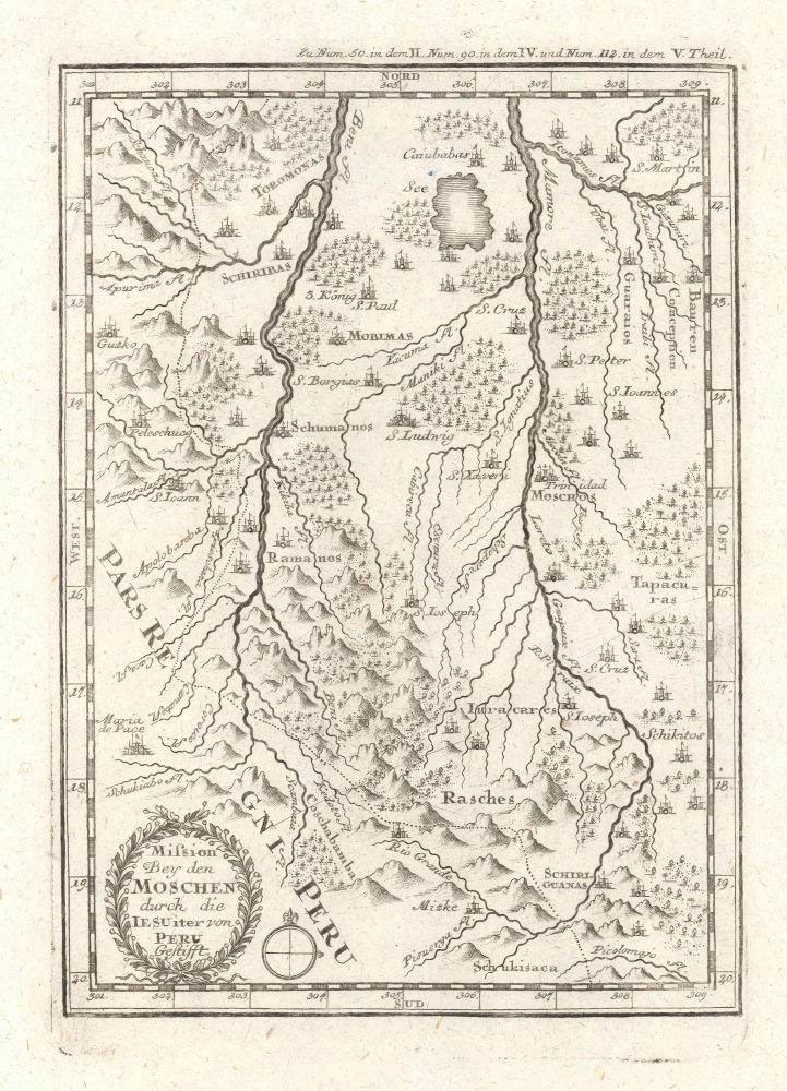
Mission bey den Moschen durch die IESUiter von Peru Gestifft.
$350.00
Acquire
- Digital Map Information
- Suitable for large format printing
- File Size: 2.53 MB
- File Type: ZIP / TIFF
- ICC color profile embedded
- Delivered instantly via download link
This is an influential c. 1726 map of the Beni in Bolivia and surrounding areas, which appeared in Joseph Stöcklein's Der Neue Weltbott. Based on a c. 1713 manuscript map, it is a critically important map in the cartography of this part of South America, serving as the basis for later maps of the region for years afterwards. (more details)
Securing the Spice Islands.
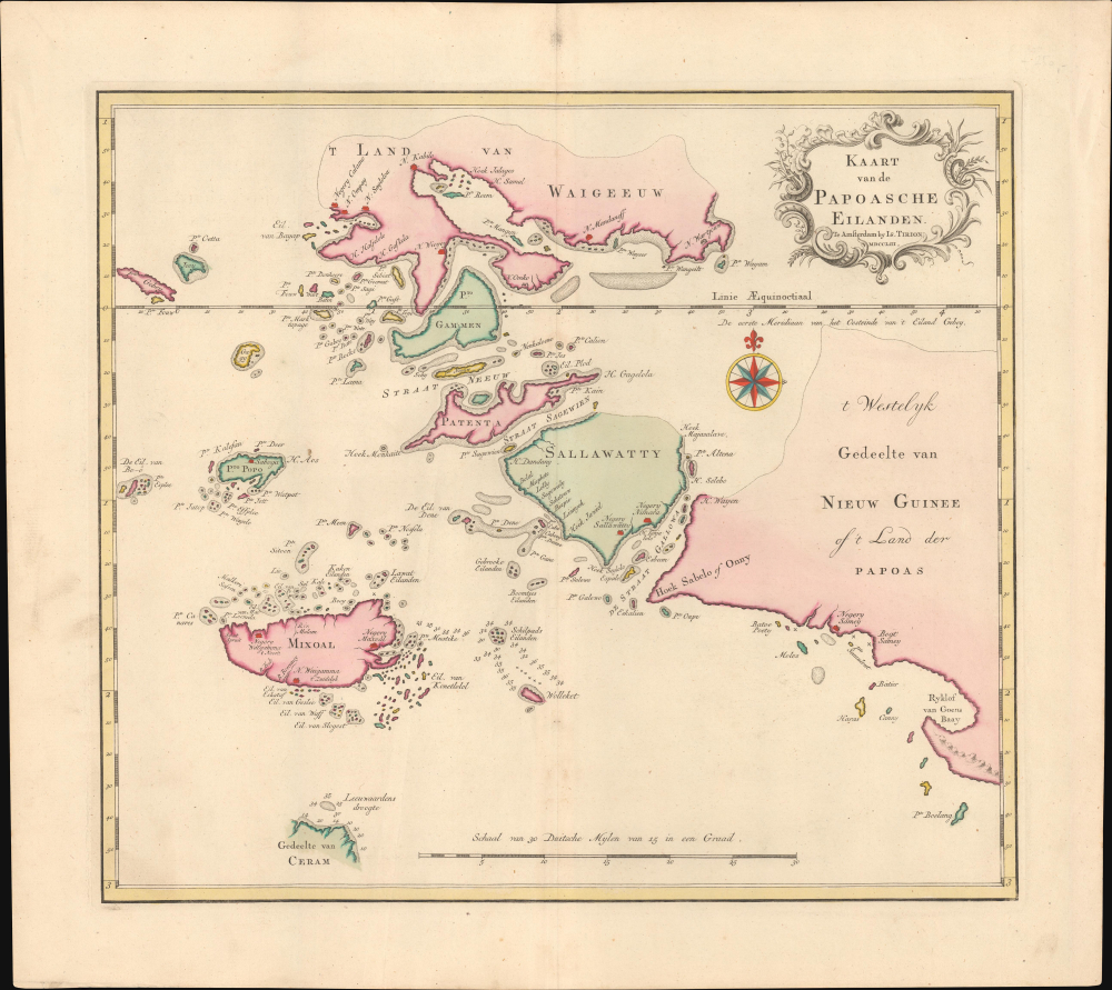
Kaart van de Papoasche Eilanden.
$275.00
Acquire
- Digital Map Information
- Suitable for large format printing
- File Size: 9.92 MB
- File Type: ZIP / TIFF
- ICC color profile embedded
- Delivered instantly via download link
This is Isaak Tirion's colorful 1753 Dutch map and nautical chart of the Dampier Strait, the Bird's Head Peninsula of West Papua, and the Raja Ampat Islands in what is now eastern Indonesia. The strategically important waterway was at the far edge of (indirect) Dutch colonial rule, but was crucial to Dutch hegemony over the Spice Islands. (more details)
Enigmatic Lafreri Map of Madagascar.
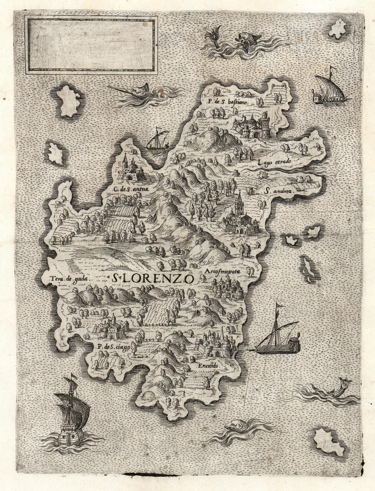
S. Lorenzo.
$4,000.00
Acquire
- Digital Map Information
- Suitable for large format printing
- File Size: 13.67 MB
- File Type: ZIP / TIFF
- ICC color profile embedded
- Delivered instantly via download link
This is a beautifully engraved and evocative 1570 map of Madagascar (San Lorenzo) attributed to Antonio Lafreri. The map is enigmatic, presenting an alternative view of Madagascar at odds with the established cartographic canon. The blank cartouche, moreover, suggests incompleteness or possibly a proof, though admittedly no later states are known. The existence of this map underscores the significance of Madagascar as a stop on voyages to Asia - it is one of the few regional Lafreri maps depicting a location other than Europe. (more details)
First accurate map of Thailand.
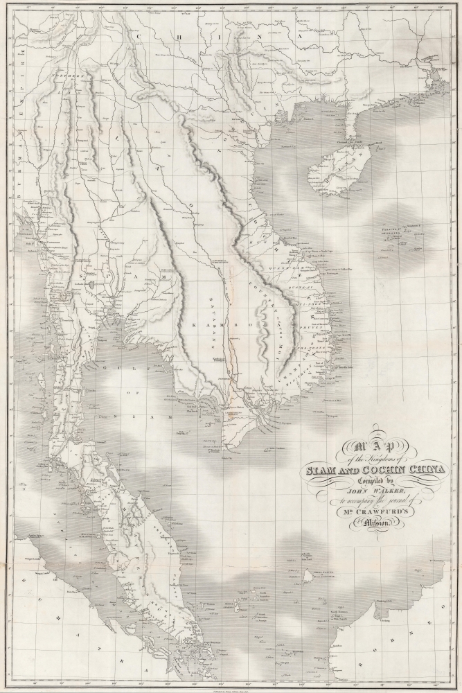
Map of the Kingdoms of Siam and Cochin China.
$2,800.00
Acquire
- Digital Map Information
- Suitable for large format printing
- DPI: 600
- File Size: 101.92 MB
- File Type: ZIP / TIFF
- ICC color profile embedded
- Delivered instantly via download link
This rare large-format 1828 map of Southeast Asia, compiled by John Walker to illustrate John Crawfurd's mission to Siam (Thailand), is the first accurate survey of the coasts of Siam. Coverage extends from China to Singapore and from the Gulf of Martaban (Burma) to Vietnam and Hainan. Siam at the time was inaccessible to European merchants and even diplomats, with its coasts and interior largely unknown. This map is an amalgam of European sources, but with regard to Siam, it was derived primarily from secretly acquired early 19th-century Siamese surveys previously unknown to Europeans and, for all intents and purposes, still lost. (more details)
The largest island in the Bahamas.
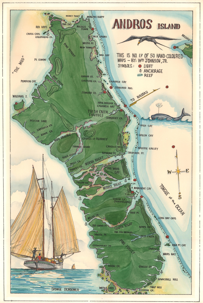
Andros Island.
$2,500.00
Acquire
This is a c. 1965 William Johnson Jr. hand-colored limited-edition map of Andros Island, Bahamas. Johnson Jr.'s color work displays virtuosic talent, making this piece exceptional. (more details)
50 photogravures of Old Shanghai.
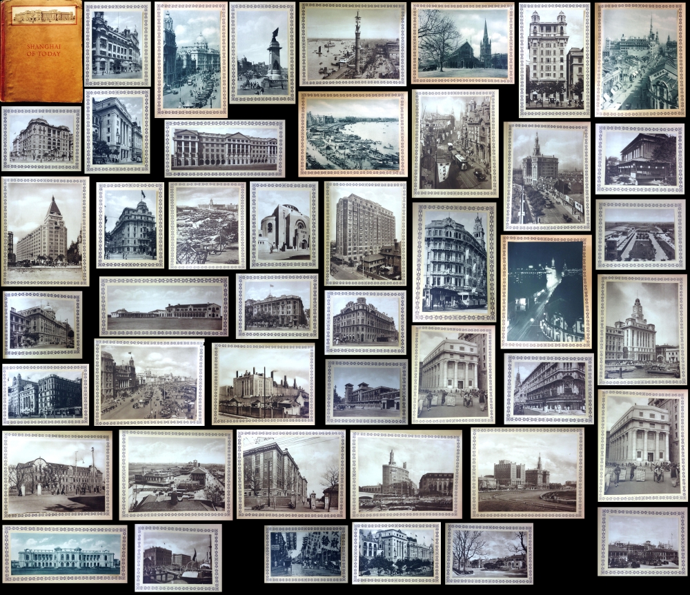
Shanghai of To-day. A Souvenir Album of Fifty Vandyke Gravure Prints of the 'Model Settlement'.
$2,200.00
Acquire
- Digital Map Information
- Suitable for large format printing
- Full resolution TIFF file
- ICC color profile embedded
- Delivered instantly via download link
This is the expanded 1930 third edition of Kelly and Walsh's Shanghai of To-day. A Souvenir Album of Fifty Vandyke Prints of the 'Model Settlement'. The volume of large-format photos captures evocative images of Shanghai's pre-war golden age, when it was a center of global commerce, art, political intrigue, and international cosmopolitanism. (more details)