
Foundational map of Scotland.
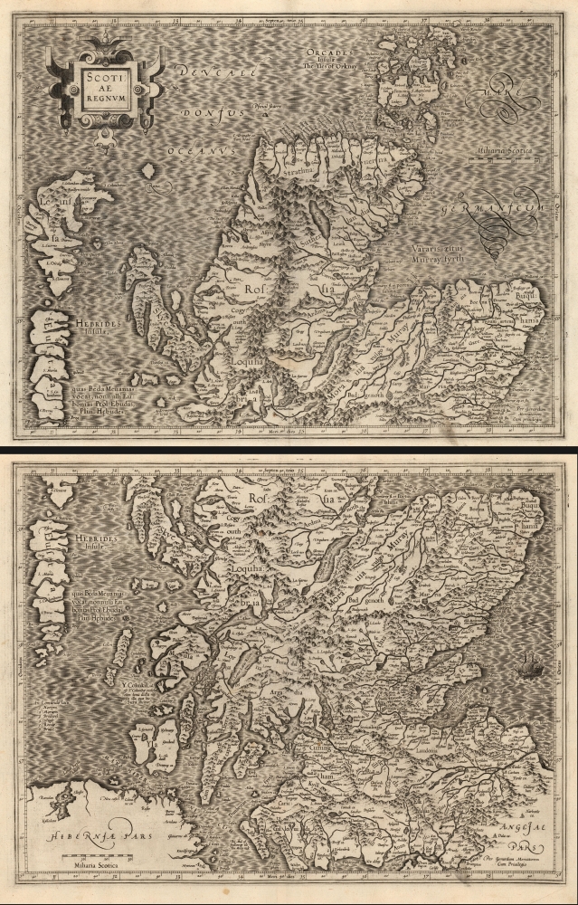
Scotiae regnum.
sold
- Digital Map Information
- Suitable for large format printing
- Full resolution TIFF file
- ICC color profile embedded
- Delivered instantly via download link
This is a superb 1595 first-edition of Gerard Mercator's 2-sheet map of Scotland. Mercator's mapping replaced all earlier representations of Scotland, and while the details of Mercator's single-sheet Scotia Regnum agree with this one, the greater area afforded this two-sheet map permit the inclusion of much more detail. So while this and the smaller map clearly share the same source, the present work was able to present its information in the most complete form of what Rodney Shirley would declare, 'this was to remain the standard outline, apart from minor improvements by Speed, until a new map of Scotland by Robert Gordon was published in 1654'. (more details)
Scarce, attractive decorative map.
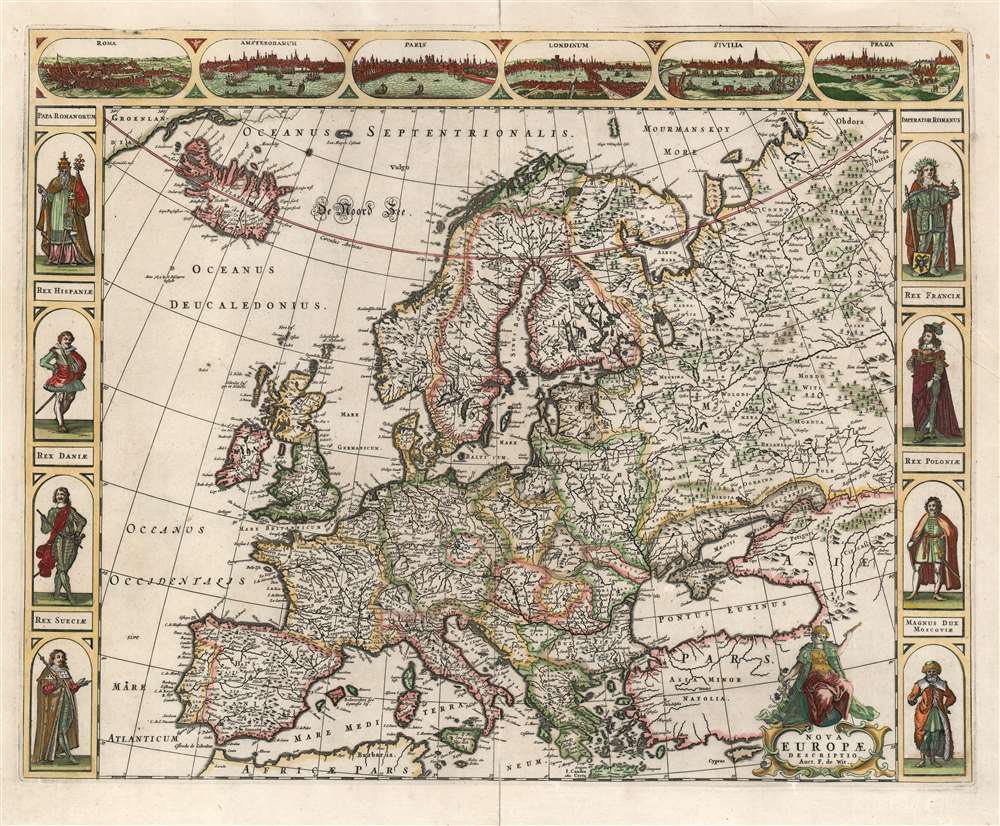
Nova Europae descriptio Auct. F. de Wit.
$1,700.00
Acquire
- Digital Map Information
- Suitable for large format printing
- DPI: 600
- File Size: 23.75 MB
- File Type: ZIP / TIFF
- ICC color profile embedded
- Delivered instantly via download link
This is a scarce 1660 Dutch carte à figures map of Europe, engraved by Frederick de Wit. This beautifully engraved work was one of a handful of maps that De Wit would have considered his showcase works as he struck out on his own as a mapmaker, after having worked for many years with the Blaeu family. Although in general terms the style is reminiscent of his former teachers', it differs both from the corresponding map in Blaeu's atlases and those of Blaeu's primary competitors, Hondius and Jansson. (more details)
Pictorial history of California.
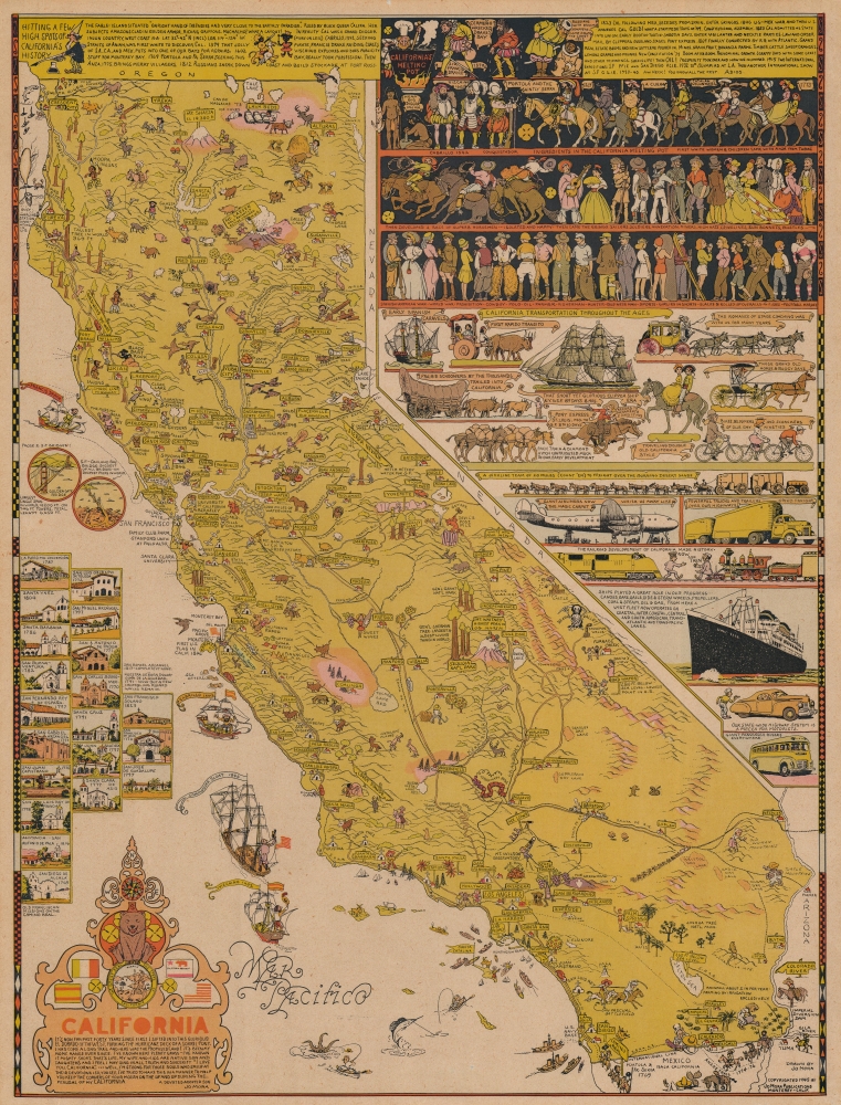
California.
sold
An intricate, beautiful, and playful 1945 pictorial map of California drawn and published by one of the state's greatest artists of the age, Jo Mora. It provides a whimsical and somewhat sanitized history of the state from the pre-colonial period to the date of publication. (more details)
'...the most important milestone in the cartographic development and accurate delineation of the Southwest.' - Carl Wheat
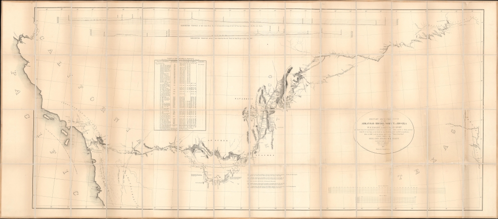
Military Reconnaissance of the Arkansas Rio del Norte and Rio Gila.
$1,500.00
Acquire
- Digital Map Information
- Suitable for large format printing
- Full resolution TIFF file
- ICC color profile embedded
- Delivered instantly via download link
This is William Hemsley Emory's seminal 1848 map of the American Southwest. Depicting from Forth Leavenworth, Kansas (then in Missouri) to the west coast, the map follows Emory's military reconnaissance through the territory newly-acquired by the United States from Mexico. It is the first thorough examination of this region after the Mexican American War (1846 - 1848). (more details)
Superb Plan of 'The Gibraltar of the North'.
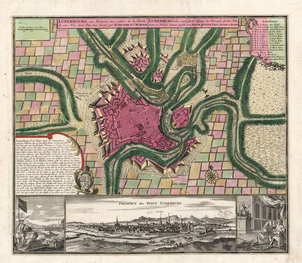
Luxembourg, une Fortresse tres celebre de la Duché de cette Nom dans Pais-bas. Grave par M. Seutter, S.C.M. Geogr.
sold
- Digital Map Information
- Suitable for large format printing
- Full resolution TIFF file
- ICC color profile embedded
- Delivered instantly via download link
This is as beautiful, rare, separately issued plan and view of the city of Luxembourg by Matthias Seutter, c. 1734. It illustrates the situation of the fortified city during the renovation of its defenses in the 1730s. (more details)
Advertising the first lithographer in Chicago.

Edward Mendel Lithographer, Engraver and Map Publisher.
sold
- Digital Map Information
- Suitable for large format printing
- File Size: 8.88 MB
- File Type: ZIP / TIFF
- ICC color profile embedded
- Delivered instantly via download link
This is a c. 1868 Edward Mendel Map Publishing trade advertisement - Chicago' first lithographing firm. Such advertisements are of an ephemeral nature and tend to be exponentially rarer a publisher's main body of work. (more details)
Texas as a Republic.
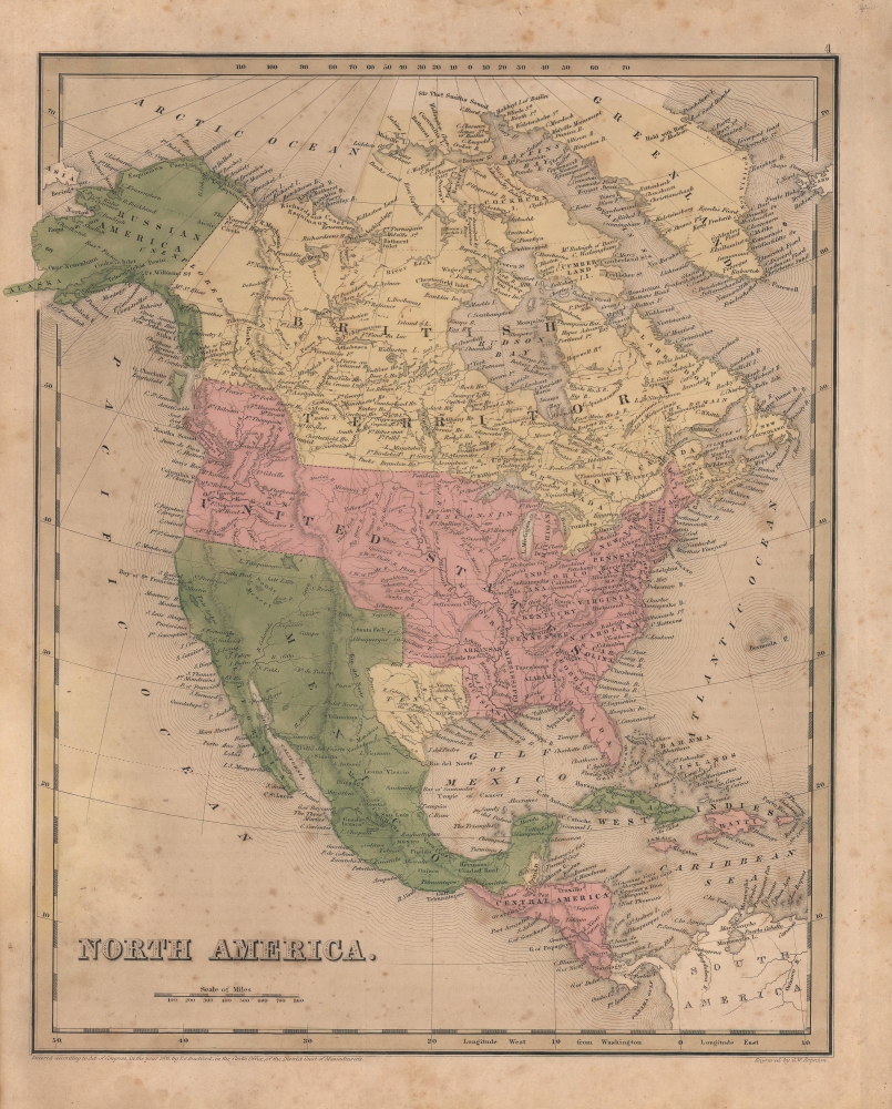
North America.
sold
- Digital Map Information
- Suitable for large format printing
- Full resolution TIFF file
- ICC color profile embedded
- Delivered instantly via download link
A scarce map of North America by Thomas Bradford, made for inclusion in the 1841 edition of his A General Atlas of the World. It has several significant features, the most notable being the Republic of Texas and an expanded northwestern border of the United States. (more details)
From Panton, Vermont to Whitehall, New York including Fort Ticonderoga.
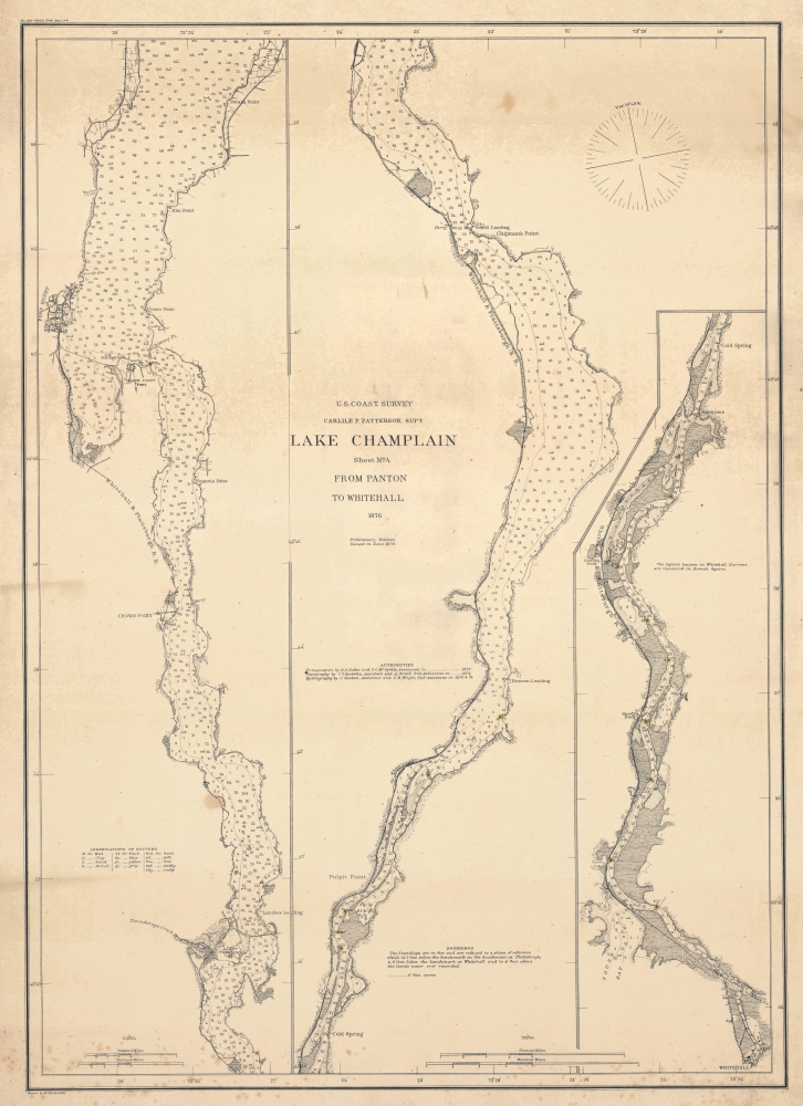
Lake Champlain Sheet No. 4 From Panton to Whitehall.
sold
- Digital Map Information
- Suitable for large format printing
- File Size: 62.86 MB
- File Type: ZIP / TIFF
- ICC color profile embedded
- Delivered instantly via download link
This is an 1876 U.S. Coast Survey nautical map of the southern portions of Lake Champlain. Occupying part of the border between Vermont and New York, the map details the lake's navigational channels, as well as the towns along its banks. (more details)
Filling out Fort Lauderdale.
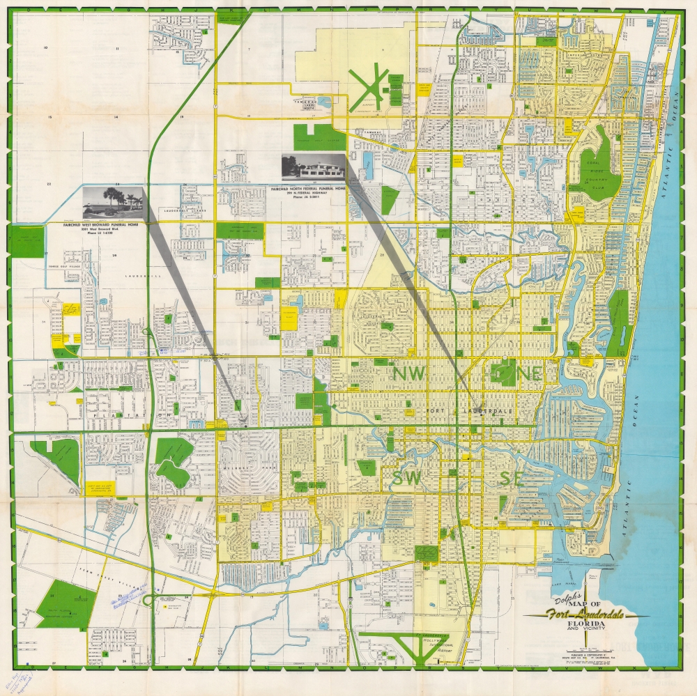
Dolph's map of Fort Lauderdale, Florida and vicinity.
sold
A large and colorful map of Fort Lauderdale, Florida produced c. 1962 by the Dolph Map Co., based in the same city. It depicts Fort Lauderdale in the midst of its postwar population boom, when it also became nationally renowned as a tourist destination. (more details)
Orlando, after the boom years.

Orlando - 'Florida's City Beautiful'. Official City Map.
sold
- Digital Map Information
- Suitable for large format printing
- Full resolution TIFF file
- ICC color profile embedded
- Delivered instantly via download link
A 1936 city plan or map of Orlando, Florida, published by the city's Chamber of Commerce. It was published after the collapse of the Florida Land Boom, which had completely transformed the city. (more details)
The first specific map of the west to appear in an American Atlas. Also, the only edition of this map to show the California Gold Region.
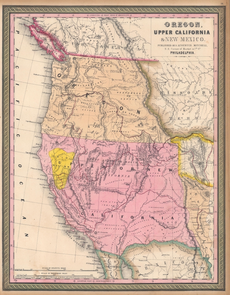
Oregon, Upper California, and New Mexico.
sold
- Digital Map Information
- Suitable for large format printing
- DPI: 600
- File Size: 27.98 MB
- File Type: ZIP / TIFF
- ICC color profile embedded
- Delivered instantly via download link
This is Samuel Augustus Mitchell's 1849 map of Upper California and Oregon, with a highlighted gold region. It is considered one of the most important and desirable mid-19th century American atlas maps. The present examples, is exceptionally beautiful, with a strongly highlighted Gold Region. (more details)
During the 1932 Shanghai Incident.
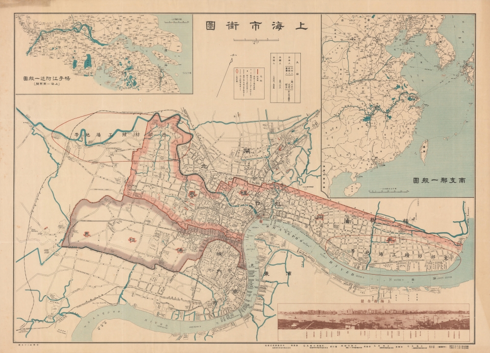
上海市街圖 / Shanghai Street Map.
sold
- Digital Map Information
- Suitable for large format printing
- File Size: 59.72 MB
- File Type: ZIP / TIFF
- ICC color profile embedded
- Delivered instantly via download link
A rare large-format 1932 (Showa 7) bilingual Japanese-English map of Shanghai with a photo of the Bund in the lower right. It was issued in the midst of hostilities between Imperial Japan and the Republic of China, a brief war known as the January 28 Incident or Shanghai Incident. (more details)
A Classic Dutch map of America.

Novissima et accuratissima totius Americae Descriptio per N. Visscher.
sold
- Digital Map Information
- Suitable for large format printing
- Full resolution TIFF file
- ICC color profile embedded
- Delivered instantly via download link
This is a c. 1677 example of Nicolas Visscher's 1658 map of America. Depicting all of the New World, including part of the Atlantic coasts of Europe and Africa, and a scattering of Pacific Islands, this map enjoyed a long print run and was shamelessly copied by several competing Dutch publishers. The map itself is cartographically based on information drawn from the 1648 Joan Blaeu world map. Thus, Visscher's map was a conduit for Blaeu's American geography to spread throughout the map publishing world. By far this map's most striking cartographic elements deal with its unusual treatment of North America, with California represented as an island, the Great Lakes rendered as a single body of water open to the west, and the strait of Anian appearing far to the north. (more details)
Africa as known to the Roman Empire.
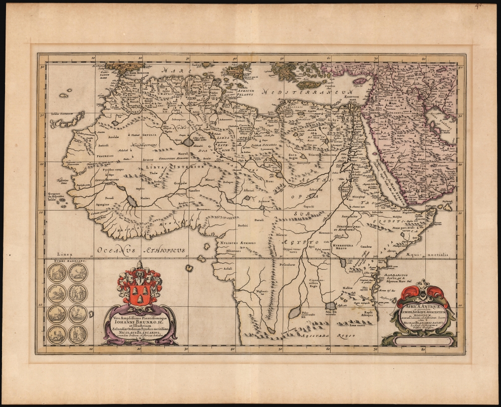
Africae Antiquae et quarundam Europae Asiaeque Adiacentium Regionum, accuratra delineatio ad Historiarum lucem edita Nicolao Blancaerdo Batavo.
sold
- Digital Map Information
- Suitable for large format printing
- DPI: 600
- File Size: 57.24 MB
- File Type: ZIP / TIFF
- ICC color profile embedded
- Delivered instantly via download link
This is Nicolaas Blanckaert's historical map of Africa, drawn for the final volume of Jansson's Atlas Novus, which was dedicated to maps illustrating ancient and Biblical history. Blanckaert was a deeply respected historian and philologist, and his contribution to the atlas would have granted it great authority; this consisted of a trio of maps of Roman-era Europe, Asia and the present Africa map. (more details)
Most decorated warship of World War II.

American Aircraft Carrier. A Detailed Cross-Section of a Typical Modern Flat-Top.
sold
This is a 1944 Jim Ray pictorial cross-section broadside of the U.S.S. Enterprise. In amazing detail, the carrier is illustrated in the process of launching aircraft. Each deck is labeled with a black circle bearing a letter or number. For example: the Island is marked with an 'I', the Flight Deck an 'F', and so on. Locations on each deck are numerically identified by white circles bearing numbers, which correspond with an index below the image. A short description of each deck appears here as well. Views illustrating carrier operations, from launching aircraft to manning anti-aircraft batteries, create the top border and aerial views of the Enterprise occupy both bottom corners. (more details)
Political broadside commemorating the life of President James A. Garfield.

From the Cradle to the Grave: Scenes and Incidents in the Life of James A. Garfield.
sold
- Digital Map Information
- Suitable for large format printing
- File Size: 15.24 MB
- File Type: ZIP / TIFF
- ICC color profile embedded
- Delivered instantly via download link
This is an 1881 J. W. Sheehy and Company broadside commemorating the life and death of U.S. President James A. Garfield. The broadside features 22 engraved vignettes of scenes from President Garfield's life and portraits of his family. The vignettes trace his life from birth in a rural home in Orange, New Jersey to his death by an assassin's bullet. Presented as an overview of President Garfield's life, this broadside dismisses most of Garfield's accomplishments in favor of focusing on his humble childhood and the tragedy of his assassination. (more details)
The Earthquake that Transformed Tokyo.

關東震災全地域鳥瞰圖繪 / [Bird's-eye View of the Entire Area of the Kanto Earthquake Disaster].
sold
- Digital Map Information
- Suitable for large format printing
- Full resolution TIFF file
- ICC color profile embedded
- Delivered instantly via download link
This is a rare, poignant bird's-eye view of Tokyo in the aftermath of the 1923 Great Kanto Earthquake by master painter-cartographer Yoshida Hatsusaburō. Coverage includes Tokyo, Yokohama, Mt. Fuji, and surrounding areas. This view was printed and distributed in 1924 (Taisho 13), just after the one-year anniversary of the disaster by the Osaka Mainichi Shimbun and is a fascinating record of both commemoration and reconstruction. (more details)
Tribute to American country western culture.

[Country Western Map of America.]
sold
This is M. Smith and Thurston Moore's 1954 pictorial map of the United States celebrating country western music and culture. (more details)
Things get easier after 'Lose Your Lunch' Falls.

West Branch of the Penobscot River.
sold
Ideal for lovers of Maine and whitewater rafting, this is Marc Emerlin's 1988 pictorial view of the west branch of the Penobscot River, from the Ripogenus Dam to Nevers Corner, just past Pockwockamus Falls. It highlights the difficulty of the rapids encountered on this stretch of river, including several waterfalls. (more details)
Second-earliest example of one of the most important and enduring maps of Canada - with fine original color.
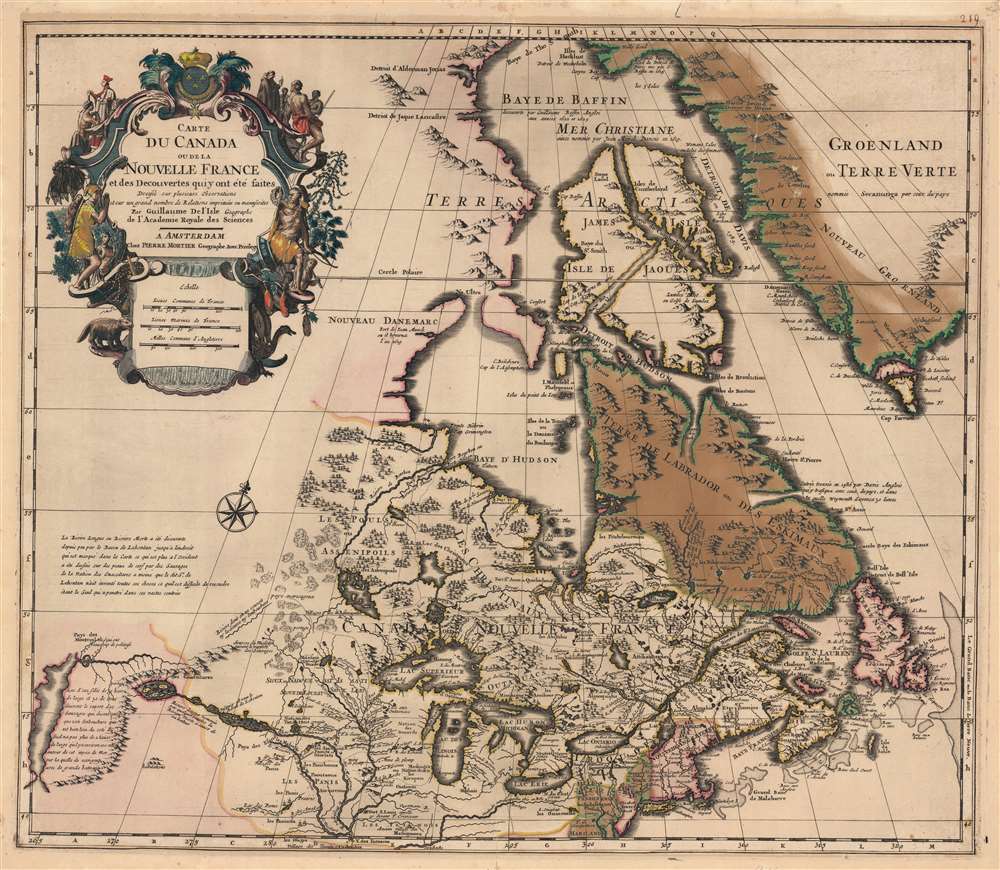
Carte du Canada ou de la Nouvelle France et des Decouverts qui y ont été faites...
sold
- Digital Map Information
- Suitable for large format printing
- Full resolution TIFF file
- ICC color profile embedded
- Delivered instantly via download link
This is the 1708 Pierre Mortier old-color issue of Guillaume de l'Isle's map of northern North America - one of the most important and influential maps of this region. (more details)