
Novel collapsible globe.

Globo Artificiale e Meccanico.
sold
A very attractive example of Augustin Legrande's collapsible mechanical globe, here in its c. 1850 first Italian edition. The globe is a novel educational tool, allowing the globe to be presented as a globe, but also in various other formats, thus more deeply illustrating the curvature of the Earth and the challenges of presenting it on a flat map. Moreover, by holding the globe up to light and spinning it, one can mimic various astronomical events. (more details)
Bellin puts it all together...

Remarques sur la Carte reduite de l'océan septentrional, compris entre l'Asie et l'Amérique, suivant les découvertes qui ont été faites par les Russes; dressée au Dépôt des cartes et plans de la Marine, pour le service des vaisseaux du roi, par ordre de M. le duc de Praslin, ministre d'etat, ayant le département de la Marine.
sold
- Digital Map Information
- Suitable for large format printing
- DPI: 600
- File Size: 38.06 MB
- File Type: ZIP / TIFF
- ICC color profile embedded
- Delivered instantly via download link
A beautiful example of Bellin's splendidly engraved 1766 map of the Pacific Northwest, Alaska, the Bering Strait and Siberia. This map is significant as a reactionary piece to the waves of cartographic speculation about the American Pacific Northwest that defined the first half of the 18th-century. Bellin, the premier hydrographer of his generation, here attempts make sense of it all, bringing together the speculations of the previous generation, his own geographical expertise, and issuing, for the first time on a French map, Frederick Muller's revolutionary cartography relating to the discoveries of Vitus Bering and Aleksei Chirikov. (more details)
Wipe the sweat from your brow and navigate the canals of Venice.
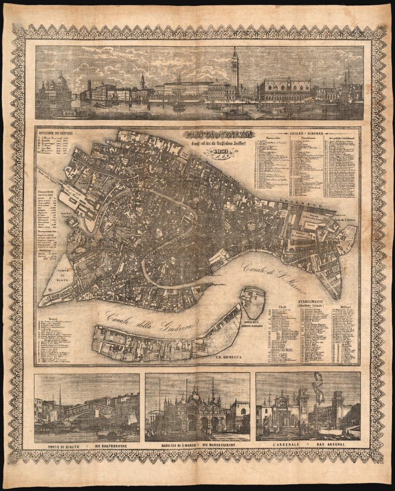
Pianta di Venezia diseg: ed inc: da Guglielmo Seiffert 1859.
sold
- Digital Map Information
- Suitable for large format printing
- File Size: 56.77 MB
- File Type: ZIP / TIFF
- ICC color profile embedded
- Delivered instantly via download link
This is an elegant 1859 Willem Sieffert city map of Venice, lithographed on linen. Wipe the sweat from your brow and avoid getting loss among the canals! (more details)
First Edition 'BREM' map of Middle Earth!

Middle Earth.
sold
An example of one of the rarest and most iconic J. R. R. Tolkien 'Middle Earth' maps - the 1965 first edition poster-map issued to promote Ballentine's first American issue of the Lord of the Rings, featuring the illustrations of Barbara Remington. (more details)
First map specifically of the Grand Duchy of Lithuania.
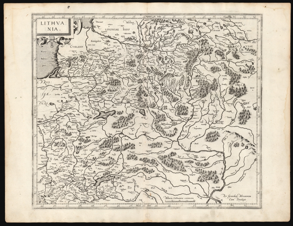
Lithuania.
sold
- Digital Map Information
- Suitable for large format printing
- DPI: 600
- File Size: 46.98 MB
- File Type: ZIP / TIFF
- ICC color profile embedded
- Delivered instantly via download link
This is a superb example of Gerard Mercator's 1595 map of the Grand Duchy of Lithuania, the first issue of the first map dedicated specifically to Lithuania. (more details)
One of the few route maps published during the war.
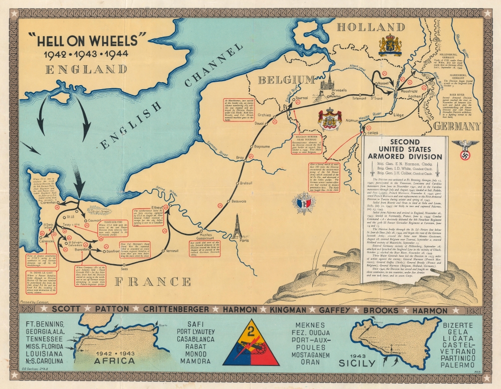
'Hell on Wheels' 1942 - 1943 - 1944. Second United States Armored Division.
sold
- Digital Map Information
- Suitable for large format printing
- File Size: 78.4 MB
- File Type: ZIP / TIFF
- ICC color profile embedded
- Delivered instantly via download link
A rarity in an underappreciated genre, this is the 1944/45 Marion E. Baker World War II Second Armored Division Pictorial Route Map of Europe. Two elements stand out from most World War II (1939 - 1945) route maps. One is the scope of the Second Armored Division campaigning, stretching to including North Africa, Sicily, and western Europe. The second is that, unlike most route maps, the present map was published during the war, making it a part of the war experience, instead of a post-war summary. (more details)
A visually striking map of the Garden Isle.
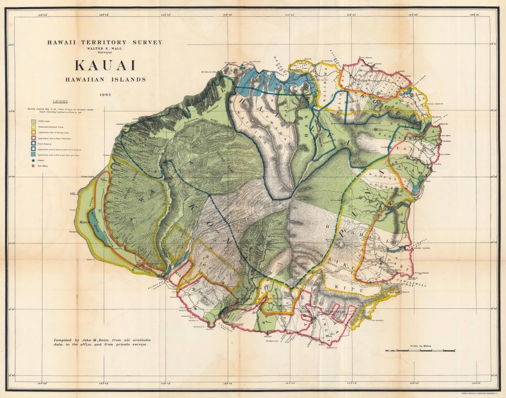
Hawaii Territorial Survey. Kauai Hawaiian Islands.
sold
- Digital Map Information
- Suitable for large format printing
- File Size: 95.27 MB
- File Type: ZIP / TIFF
- ICC color profile embedded
- Delivered instantly via download link
This is a stunning 1903 John M. Donn map of Kauai, created for the Hawaiian Territorial Survey. It is the first comprehensive large-scale modern map of Kauai. (more details)
A comprehensive proposal for justice towards Native peoples.

Lilawaste Lake Country refuge-to-be.
sold
- Digital Map Information
- Suitable for large format printing
- File Size: 28.41 MB
- File Type: ZIP / TIFF
- ICC color profile embedded
- Delivered instantly via download link
An engrossing map that merits hours of close study, this is a highly detailed and acerbic proposal for a 'Lilawaste Lake Country Refuge' drawn by the pseudonymous Iktomi. It appeared in the 1937 book America Needs Indians!, by the same author, a creative and combative work that sharply criticizes White society's destruction of indigenous cultures and proposes measures for maintaining and even reviving the latter. (more details)
A City for the People.
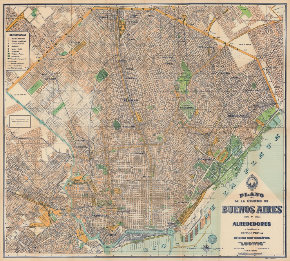
Nuevo Plano de la Ciudad de Buenos Aires y sus Alrededores / Plano de la Ciudad de Buenos Aires y Alrededores.
sold
- Digital Map Information
- Suitable for large format printing
- Full resolution TIFF file
- ICC color profile embedded
- Delivered instantly via download link
An impressive 1953 large-format city plan or map of Buenos Aires, Argentina, published by Oficina Cartográfica Ludwig. It highlights the tremendous growth of the city in the preceding decades, as working and middle-class areas cropped up around its historic core. (more details)
First edition pictorial map Mount Desert Island.
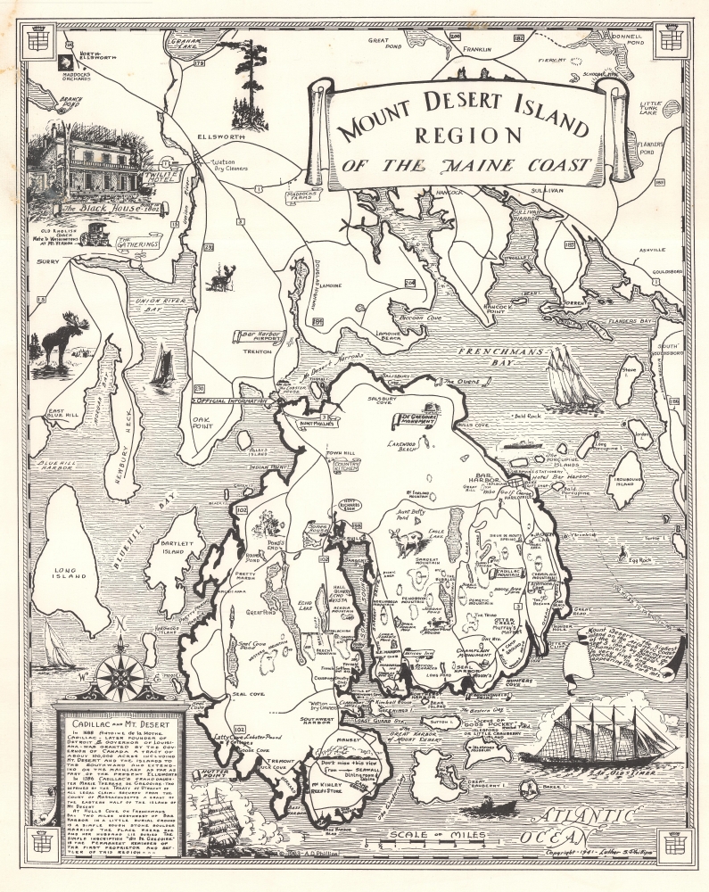
Mount Desert Island Region of the Maine Coast.
sold
This is a rare first edition 1941 Luther S. Phillips pictorial map of Mount Desert Island, Maine. It highlights one of the most popular tourist destinations on the eastern seaboard - Acadia National Park. Philips' maps have been popular since their inception, and variations are still published today, but first editions, as here, are special and scarce. (more details)
Now the site of Brookfield Place Mall.
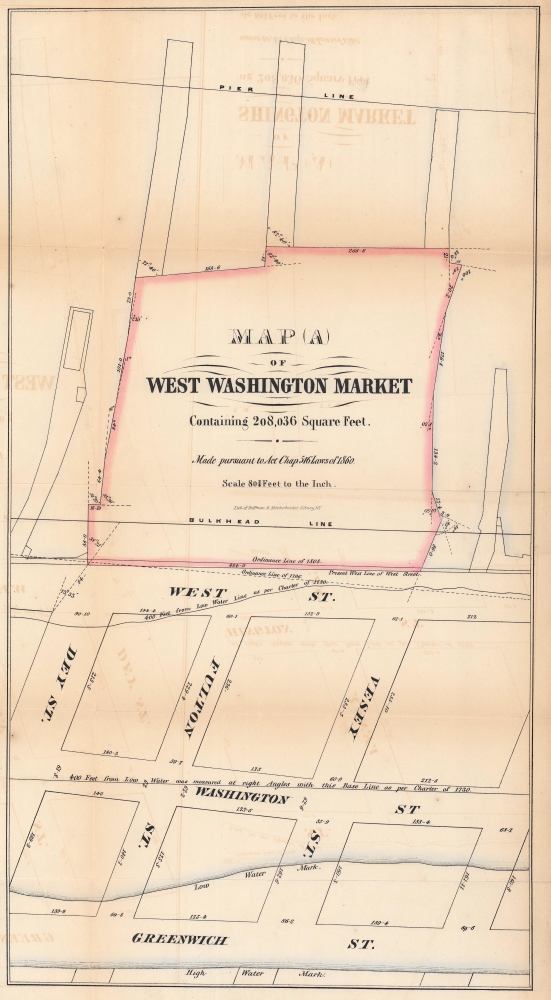
Map (A) of West Washington Market Containing 208,036 Square Feet.
sold
- Digital Map Information
- Suitable for large format printing
- File Size: 15.21 MB
- File Type: ZIP / TIFF
- ICC color profile embedded
- Delivered instantly via download link
This is a fascinating 1862 Hoffman and Knickerbocker map of the West Washington Market in Lower Manhattan - a little-known page in NYC lore. This market, which housed stalls for private merchants and had its own 'street grid', stood where Brookfield Place Mall is today. (more details)
Pre-Civil War - Post Trail of Tears.

Map of the State of Alabama.
sold
- Digital Map Information
- Suitable for large format printing
- DPI: 600
- File Size: 18.83 MB
- File Type: ZIP / TIFF
- ICC color profile embedded
- Delivered instantly via download link
This is Jeremiah Greenleaf's 1849 map of Alabama. The map illustrates Alabama during a period of economic growth, political stability, and cultural vibrancy, at the height of the states pre-Civil War railroad boom. (more details)
La Reina del Plata.

Plano del Centro de Buenos Aires / Plano de la Zone Central de la Ciudad de Buenos Aires.
sold
- Digital Map Information
- Suitable for large format printing
- Full resolution TIFF file
- ICC color profile embedded
- Delivered instantly via download link
A charming c. 1950 map of central Buenos Aires, Argentina, produced by David Rodriguez-Trío. It highlights the impressive infrastructure and urban planning developed in the early 20th century, as well as changes in the city brought about by the rise of populist President Juan Perón (first presidency 1946 - 1955). (more details)
Tampa and St. Petersburg in detail!
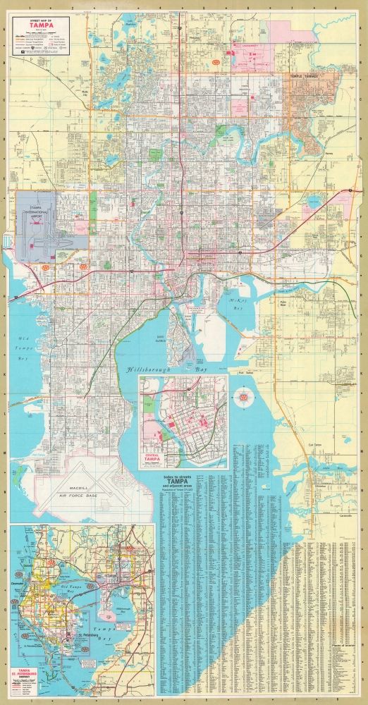
Street Map of Tampa. / Street Map of St. Petersburg.
$200.00
Acquire
A great map for tourists and snowbirds, this is a double-sided map of Tampa and St. Petersburg, Florida. (more details)
Striking city map of Montevideo, Uruguay.
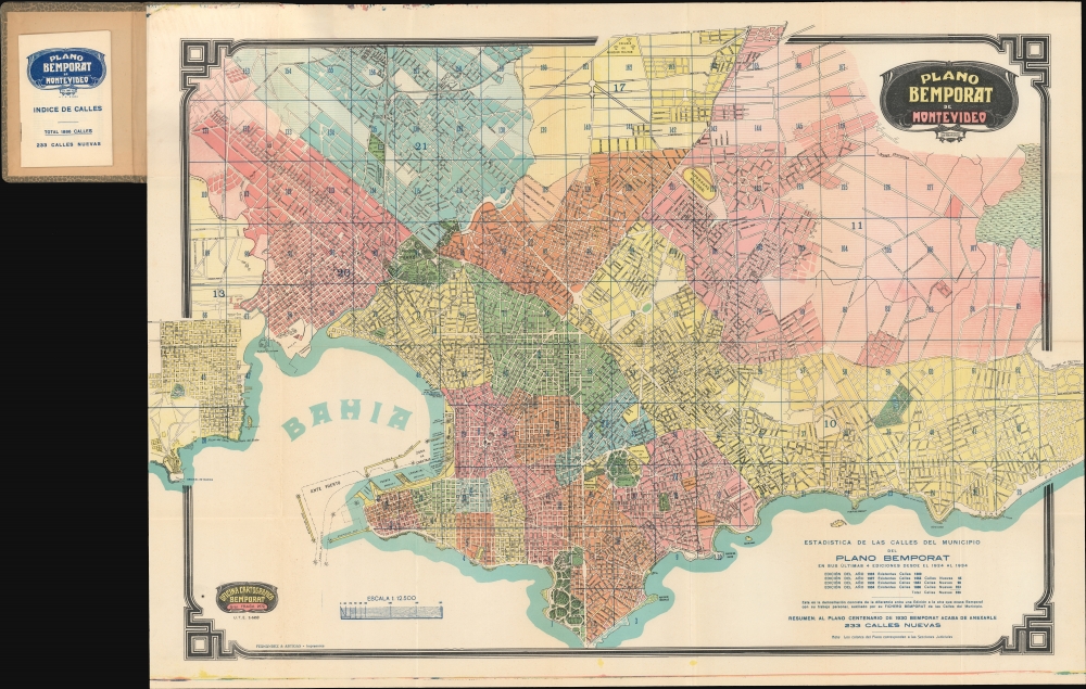
Plano Bemporat de Montevideo.
sold
- Digital Map Information
- Suitable for large format printing
- File Size: 101.73 MB
- File Type: ZIP / TIFF
- ICC color profile embedded
- Delivered instantly via download link
This is a beautiful large-format 1934 Oficina Cartográfica Bemporat folding city plan or map of Montevideo, Uruguay. (more details)
One of the Finest Northeast Charts of the Dutch Period.
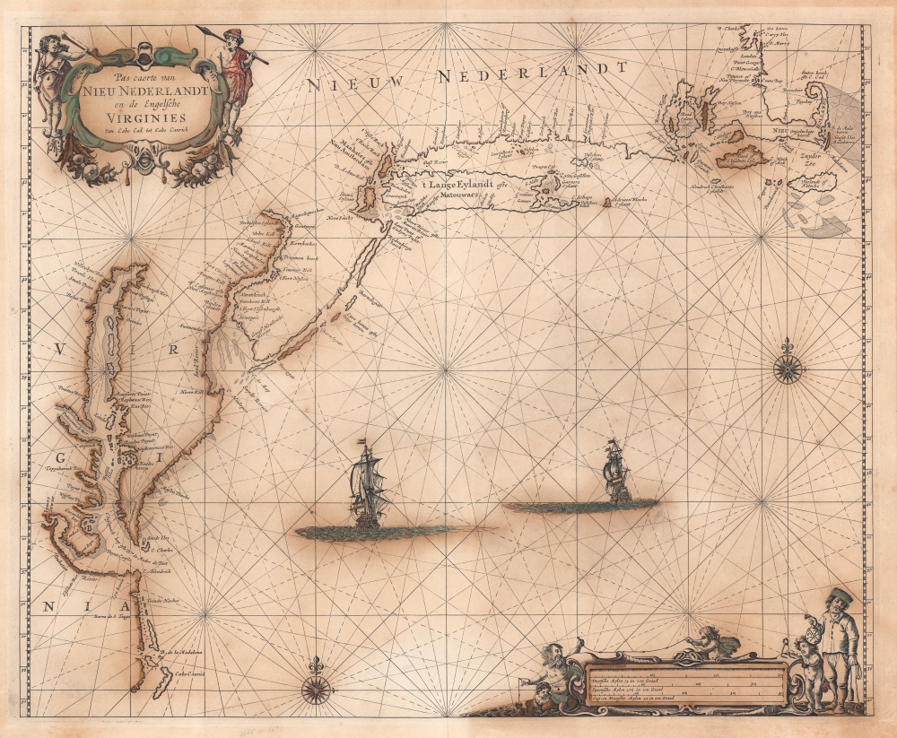
Pas Caerte van Nieu Nederlandt en de Engelsche Virginies van Capo Cod to Cabo Canrick.
sold
- Digital Map Information
- Suitable for large format printing
- Full resolution TIFF file
- ICC color profile embedded
- Delivered instantly via download link
A striking original color 1666 Pieter Goos nautical chart or maritime map of New England, New York, New Jersey, and Virginia. Coverage follows the coast of North America from Boston Harbor to Cape Hatteras, thus embracing one of the more active mid-17th century maritime corridors in North America. At the center of the map, two Dutch ships ply the seas. Finely engraved decorative cartouche work in the upper left and lower right emphasizes the region's rich fur trade and abundant fisheries. (more details)
Vietnamese protest against the U.S. Army in Vietnam.

Mỹ Phải Rút Quân Khỏi Miền Nam Việt Nam. [America Must Withdraw Troops from South Vietnam.]
sold
An incredible survival, this is an eight-foot-long 1968 Vietnamese anti-war banner. Translated as 'America Must Withdraw Troops from South Vietnam', this banner was produced to protest the war and propagate anti-American sentiment. It likely represents Vietnamese student anti-war protests rather than Viet Cong propaganda. The banner was found in December 1968 in the Mekong Delta by the 9th Infantry Division, who promptly tore it down. (more details)
The quest for Terre Australis.
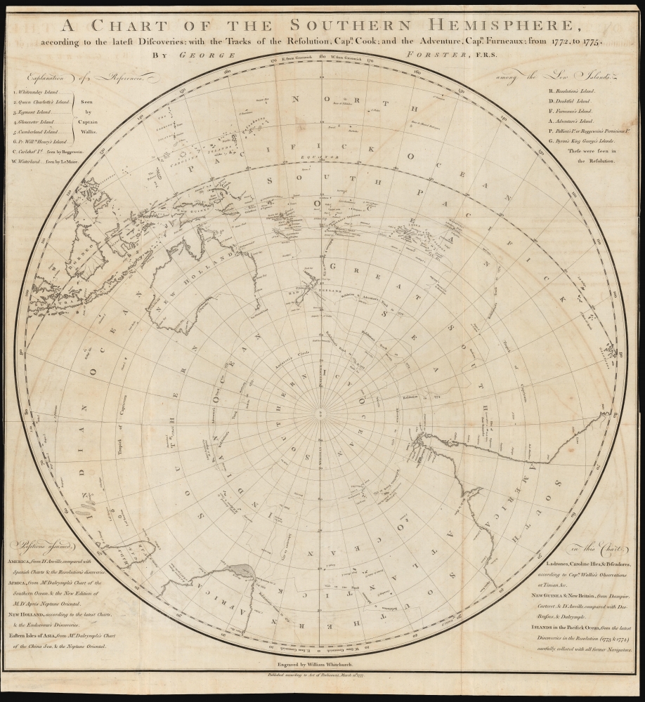
A Chart of the Southern Hemisphere according to the latest Discoveries with the Tracks of the Resolution, Cap.n Cook; and the Adventure, Cap.n Furneaux; from 1772, to 1775.
sold
- Digital Map Information
- Suitable for large format printing
- DPI: 600
- File Size: 68.68 MB
- File Type: ZIP / TIFF
- ICC color profile embedded
- Delivered instantly via download link
A rare 1777 George Forster map of James Cook's second voyage of exploration to the South Pole, from 1772 to 1775. (more details)
The dominant 17th century depiction of the American Southeast.
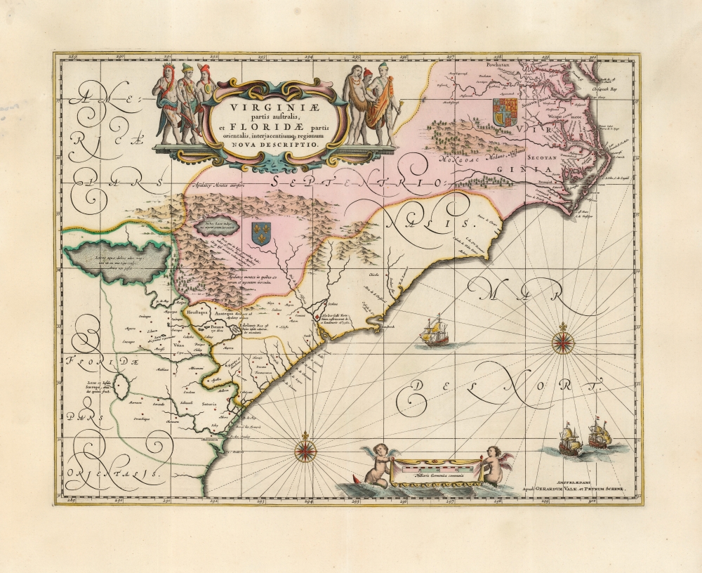
Virginiae Partis australis, et Floridae partis orientalis, interjacentiumque regionum Nova Descriptio.
$1,800.00
Acquire
- Digital Map Information
- Suitable for large format printing
- Full resolution TIFF file
- ICC color profile embedded
- Delivered instantly via download link
This is Jan Jansson's beautiful map of Virginia and Florida, engraved in 1639, appearing here in an attractive example of its c. 1694 restrike under the imprint of Gerard Valk and Peter Schenk. This classic Dutch map, encompassing the Carolinas and what would become Georgia and part of Florida, was derived from that of Willem Blaeu, which has been called 'the most correct map of this area yet to appear' (Cumming). Blaeu's map was sufficiently authoritative for Jansson to make an extremely faithful copy. Both cartographers' maps would have a long print life. (more details)
Predicting the Allied advance to plan logistics.

Principal Rail Lines to Berlin - E.T.O.
sold
- Digital Map Information
- Suitable for large format printing
- File Size: 64.69 MB
- File Type: ZIP / TIFF
- ICC color profile embedded
- Delivered instantly via download link
A unique piece, this is a 1944 World War II (1939 - 1945) Second Military Railway Service railroad diazotype map of Europe with extensive predicative manuscript annotation relating to managing logistics behind the battle lines in the face of rapid frontline advancement. The fascinating annotation predicts the Allied advance across Europe in stages from November 1944 through May 1945. The map thus underscores a critical but often overlooked aspect of World War II - logistics. (more details)