
Decorative early map of the United States Southeast with Florida as an Archipelago.
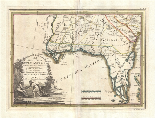
Gli Stati Uniti dell' America delineati sulle ultime Osservazioni. Quinto Fogloi che comprende La Georgia, e parte della Carolina con, la Florida.
sold
- Digital Map Information
- Suitable for large format printing
- DPI: 300
- File Size: 8.76 MB
- File Type: ZIP / TIFF
- ICC color profile embedded
- Delivered instantly via download link
A spectacular 1797 Giovanni Maria Cassini map of the southeastern part of the then fledgling United States. Centered on Pensacola, the map covers rom the Mississippi River to the Atlantic Seaboard and from Fredericksburg to the Florida Keys, including the modern ... (more details)
The Conch Republic.

Treasures of Key West.
sold
A scarce c. 1988 pictorial map of Key West, Florida produced by David Harrison Wright and Key Exposure. In addition to advertising local businesses, the map provides the location of and information about public institutions, historical sites, and the natural environment. (more details)
Centerpiece of the Florida Keys.

Marathon The Heart of the Florida Keys.
sold
A delightful 1985 pictorial view and map of Marathon Key, Florida, drawn by the illustrator Ron Weaver. In addition to highlighting local businesses, the map depicts scenes from Key life, flora, fauna, and folklore. (more details)
Scotland, the Hebrides, and the Orkney Islands Beautifully Embellished.
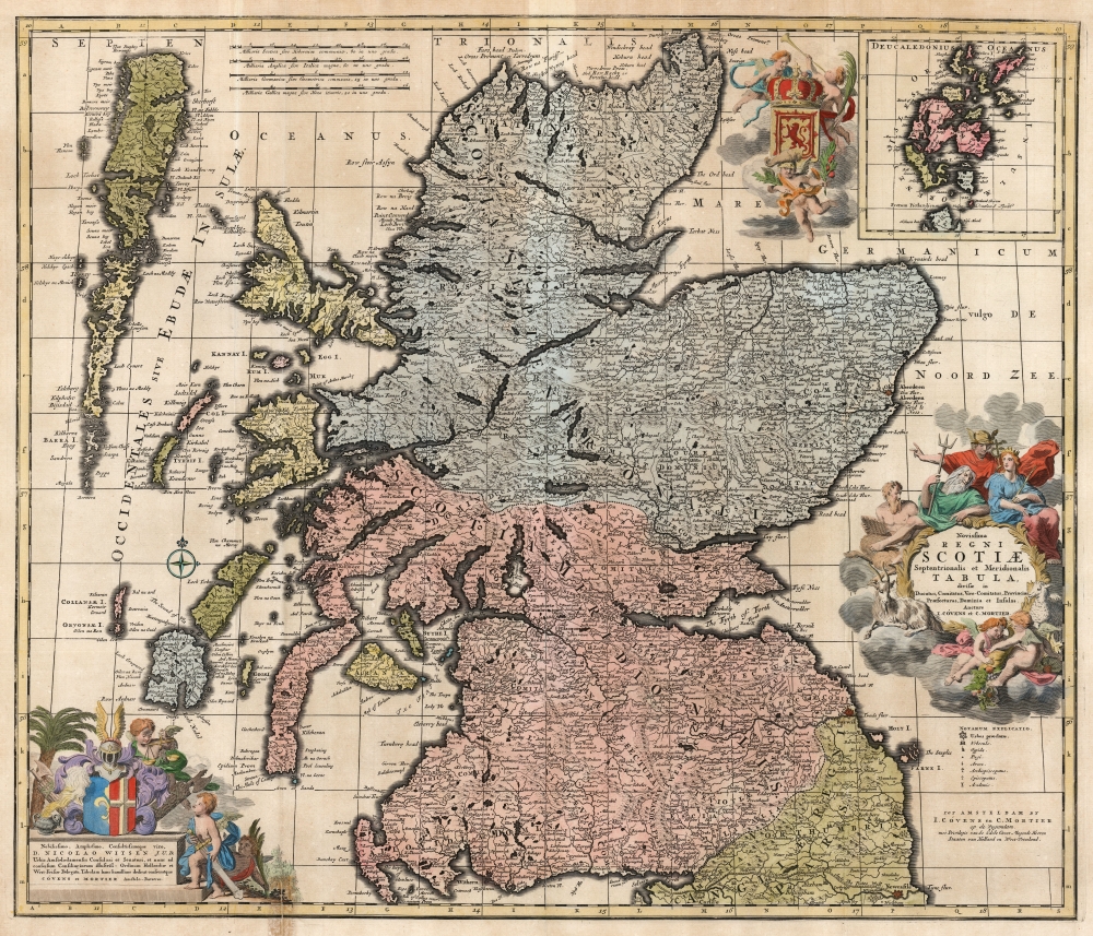
Novissima Regni Scotiæ Septentrionalis et Meridionalis Tabula divisae in Ducatus, Comitatus, Vice-Comitatus, Provincias, Praefecturas, Dominia et Insulas.
sold
- Digital Map Information
- Suitable for large format printing
- DPI: 600
- File Size: 69.71 MB
- File Type: ZIP / TIFF
- ICC color profile embedded
- Delivered instantly via download link
This is Carel Allard's 1697 map of the Kingdom of Scotland, in its 1725 Covens and Mortier edition. Between the superb engraving of the map and its ornate cartouches, it is one of the most richly decorative maps of Scotland produced in that era. (more details)
The difficulties of demarcation.

Mapa de la República de Guatemala, los adyacentes estados Mexicanos de Chiapas, Tabasco, Campéche y Yucatan, y la colonia inglesa de Belice...
sold
- Digital Map Information
- Suitable for large format printing
- File Size: 7.94 MB
- File Type: ZIP / TIFF
- ICC color profile embedded
- Delivered instantly via download link
A rich 1895 Spanish-language map of Guatemala produced by American surveyor Miles Rock. Rock was employed by the Guatemalan government to demarcate the border, which had been disputed with Mexico in the preceding decades, causing a diplomatic crisis that became a model study in international law. (more details)
Mapping the metropolis.
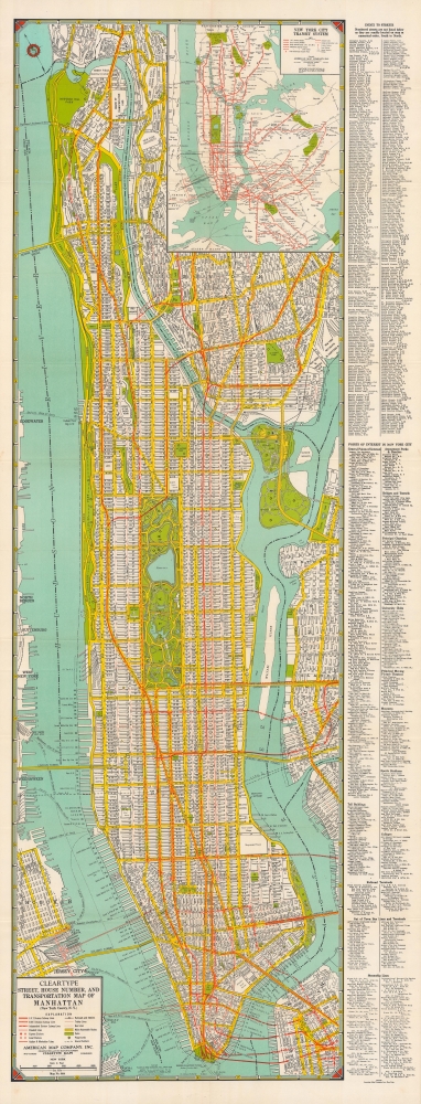
Cleartype street, house number, and transportation map of Manhattan (New York County, N.Y.).
sold
- Digital Map Information
- Suitable for large format printing
- Full resolution TIFF file
- ICC color profile embedded
- Delivered instantly via download link
A large and detailed c. 1945 indexed folding map of Manhattan, produced by Cleartype Maps and the American Map Company. It provides fantastic detail on the layout, transportation, and attractions of Manhattan at the start of the postwar era. (more details)
First Official Map of Massachusetts.

Map of Massachusetts Proper Compiled form Actual Surveys made by Order of the General Court, and under the inspection of Agents of their appointment, by Osgood Carleton.
sold
- Digital Map Information
- Suitable for large format printing
- DPI: 600
- File Size: 141.25 MB
- File Type: ZIP / TIFF
- ICC color profile embedded
- Delivered instantly via download link
Known as 'The Agent's Map', this is a fine example of the first official map of Massachusetts, published in 1801 by Osgood Carleton. The map emerged out of a long and complex struggle to produce a large-scale, accurate, and comprehensive state map - something increasingly important in the heady early days of independence following the American Revolutionary War (1775 - 1783). This expansive map covers all of Massachusetts in considerable detail, giving no attention whatsoever to the neighboring states. While generally ignoring topography, the map offers superb practical detail throughout, noting roads, county borders, schools, meeting houses, courts, milage from Boston, and more. The sole mountain illustrated is the Hoosack Range, near modern-day North Adams. (more details)
'Most Attractive of its Time' ~ Shirley

Nova Orbis Tabula In Lucem Edita, A.F.de Wit.
sold
- Digital Map Information
- Suitable for large format printing
- DPI: 600
- File Size: 61.1 MB
- File Type: ZIP / TIFF
- ICC color profile embedded
- Delivered instantly via download link
This is a first-plate, first-state example in original color of Frederick De Wit's classic double hemisphere map of the world. Shirley praised it as 'one of the most attractive of its time'. De Wit's map presents the state of the art of Dutch mapmaking as was expressed in Nicolas Visscher's 1658 map of the world, its detail drawn primarily from Joan Blaeu's Nova et Accuratissima Totius Terrarum Orbis Tabula. In both its geographical detail and the composition of its primary and subordinate hemispheres, it is a faithful copy of the Visscher. (more details)
One of the world great courses.

Pebble Beach Golf Links, the Lodge at Pebble Beach.
sold
This is 1968 James Paterson Izatt map of the Pebble Beach Golf Links on the Monterey Peninsula, California, signed by the artist. It provides an overview of one of the most storied and celebrated courses in the world. (more details)
The arteries of late Victorian London.
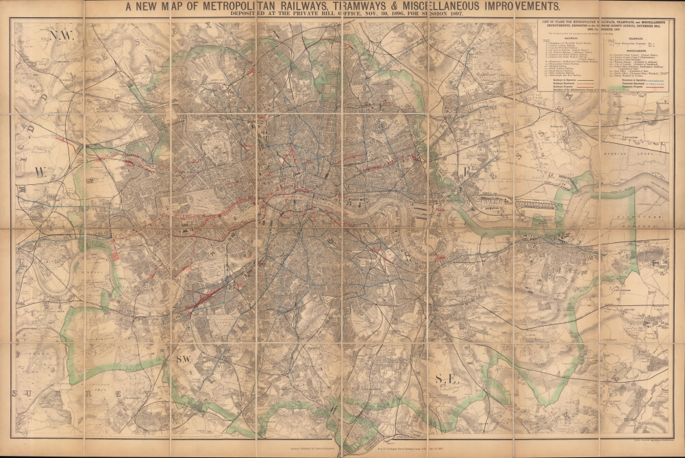
A new map of metropolitan railways, tramways and miscellaneous improvements.
$800.00
Acquire
- Digital Map Information
- Suitable for large format printing
- Full resolution TIFF file
- ICC color profile embedded
- Delivered instantly via download link
A large and impressive 1896 Edward Stanford map of late Victorian London highlighting the city's railways, including underground lines and tramways (horse trams), both extant and proposed. It provides an excellent overview of the city, which had grown explosively throughout the 19th century to reach some five million people, six and a half for the entire metropolitan area, by this time. (more details)
One of the First Modern Arabia Maps.
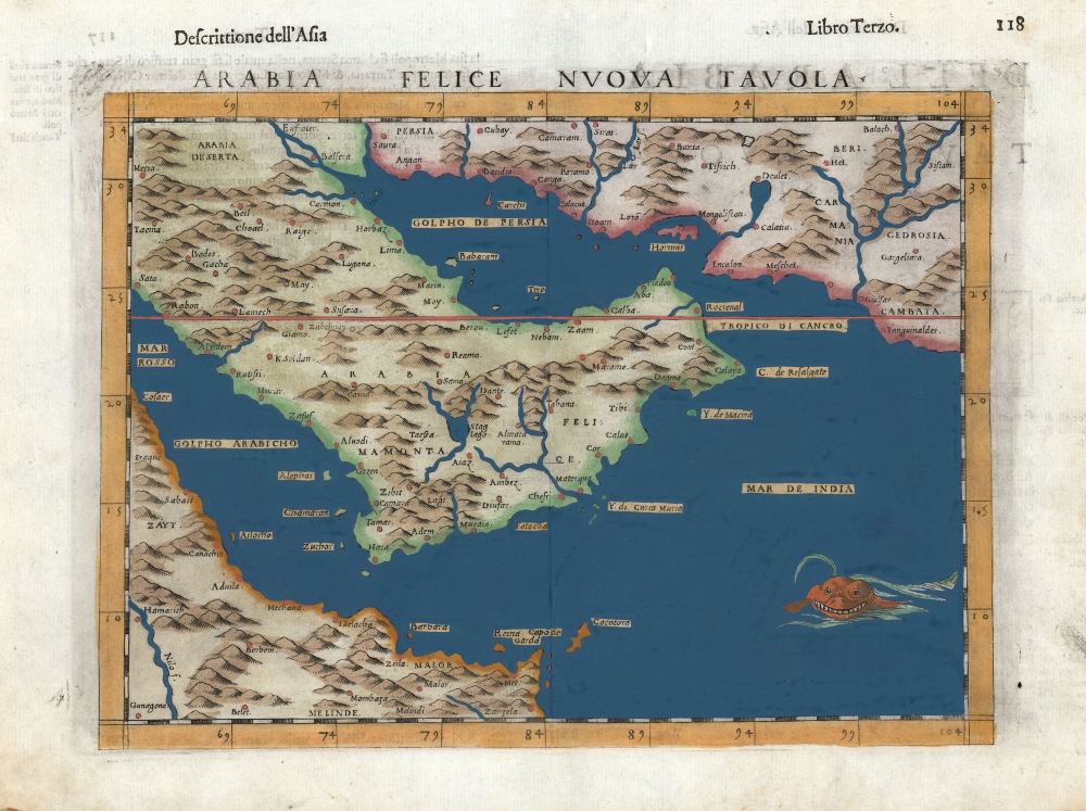
Arabia Felice Nuova Tavola.
sold
- Digital Map Information
- Suitable for large format printing
- DPI: 600
- File Size: 10.3 MB
- File Type: ZIP / TIFF
- ICC color profile embedded
- Delivered instantly via download link
This is Girolamo Ruscelli's 1599 edition of Giocomo Gastaldi's modern map of the Arabian Peninsula, specifically the fertile part of Arabia, 'Arabia Felix.' After Gastaldi's 1548 work, it is nevertheless one of the earliest acquirable depictions of Arabia not based on the second century work of Claudius Ptolemy. The island of Bahrain (Babarem) appears. Also, this is one of the earliest works to depict a peninsula in the region of Qatar. (more details)
The orbits of the inner planets according to Tycho Brahe.
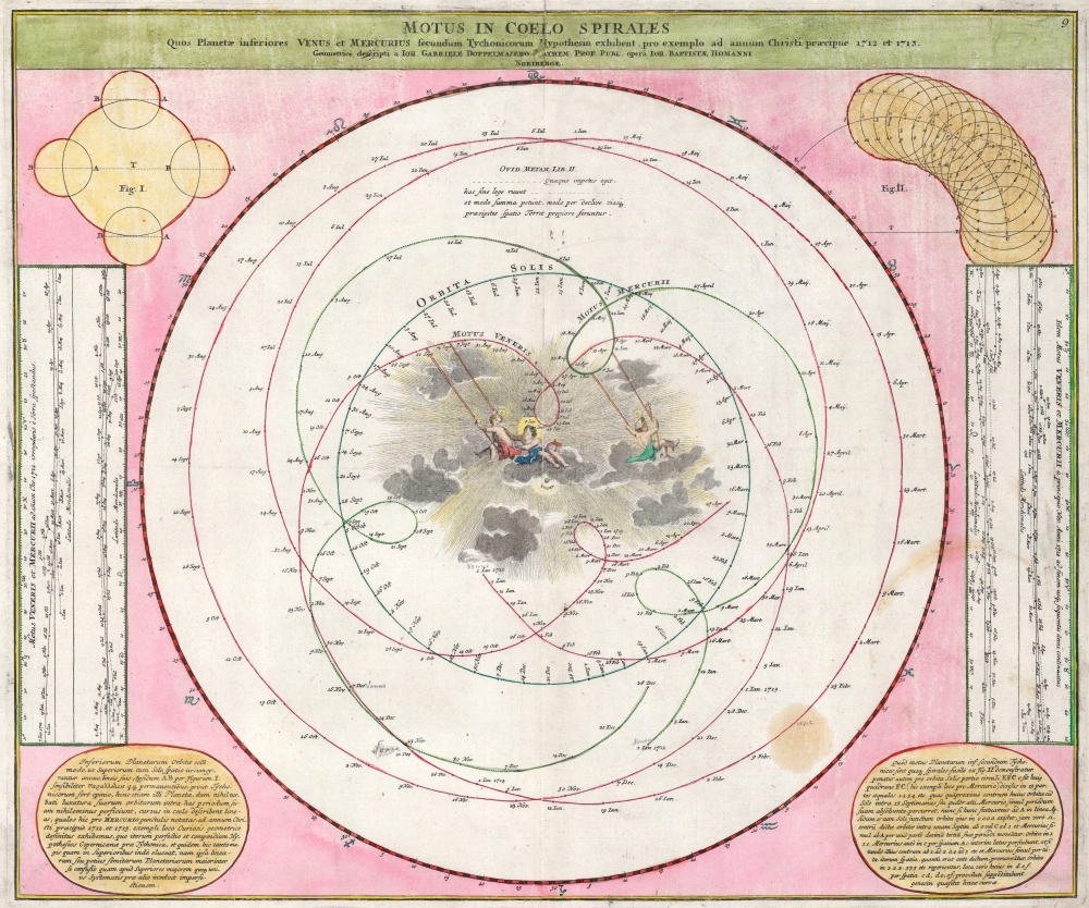
Motus in Coelo Spirales Quos Planetae inferiores Venus et Mercurius secundum Tychonicorum Hypothesin exhibent, pro exemplo ad annum Christi praecipue 1712 et 1713.
sold
- Digital Map Information
- Suitable for large format printing
- DPI: 600
- File Size: 45.52 MB
- File Type: ZIP / TIFF
- ICC color profile embedded
- Delivered instantly via download link
This is the 1742 Atlas Novus Coelestis edition of J. G. Doppelmayr's chart of the orbits of Venus, Mercury, and the Sun following the theory of planetary motion proposed by Tycho Brahe. That 16th-century Danish astronomer's efforts to explain the confusing behavior of the planets while retaining an orderly vision of the cosmos led to the production of many fascinating images, this not least among them. Doppelmayr presented Tycho Brahe's model here in contrast to the Copernican model, declaring the simplicity of the latter to exemplify its superiority over the contortions made necessary by the former. (more details)
Cruising through the Keys.
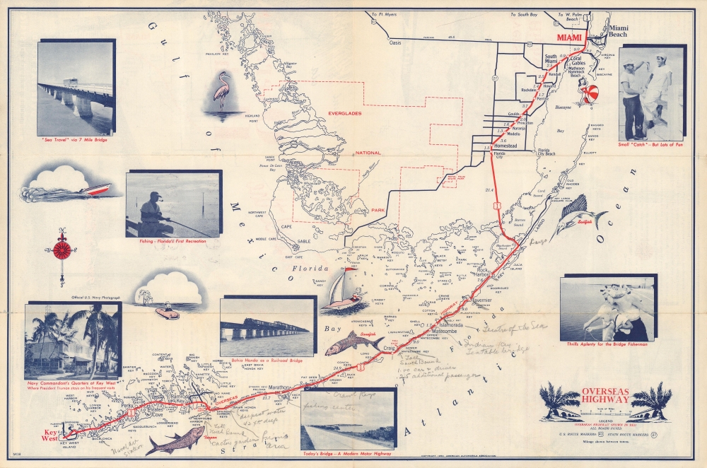
Miami to Key West via Overseas highway.
sold
- Digital Map Information
- Suitable for large format printing
- Full resolution TIFF file
- ICC color profile embedded
- Delivered instantly via download link
A charming 1950 American Automobile Association (AAA) map of Southern Florida highlighting the Overseas Highway (U.S. 1) running through the Florida Keys. Adorned with photographs and illustrations, it combines function and aesthetics, and highlights fishing in the region, one of the region's main attractions for tourists and residents alike. (more details)
Going down to Gatorland.
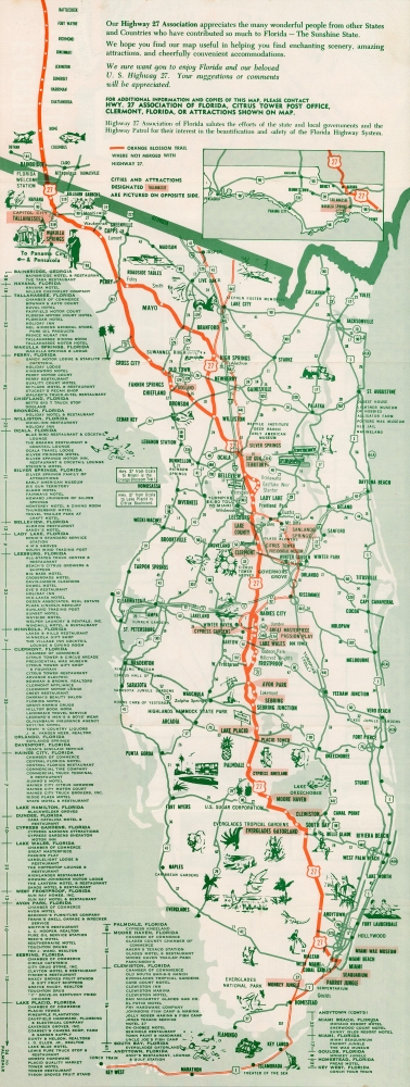
Complete Map: Florida Traveling, featuring U.S. 27.
sold
A fun c. 1964 folding strip road map produced by the Highway 27 Association of Florida. It highlights the organization's namesake highway, connecting Tallahassee to Miami, while also providing detail on other highways, tourist attractions, and local attractions. (more details)
More than just witches.
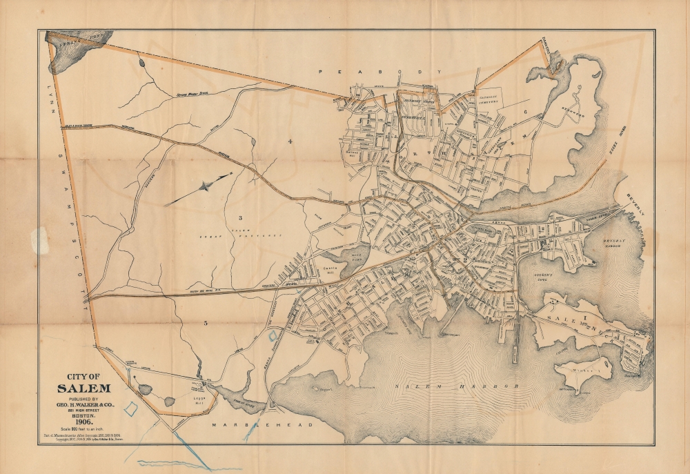
City of Salem.
sold
- Digital Map Information
- Suitable for large format printing
- Full resolution TIFF file
- ICC color profile embedded
- Delivered instantly via download link
A separately-issued 1906 folding map of Salem, Massachusetts published by George H. Walker and Co. in Boston. It depicts the entirety of the city in considerable detail, from its rural southern portion through its historic center in the north. (more details)
Manuscript planning map of the Fens.
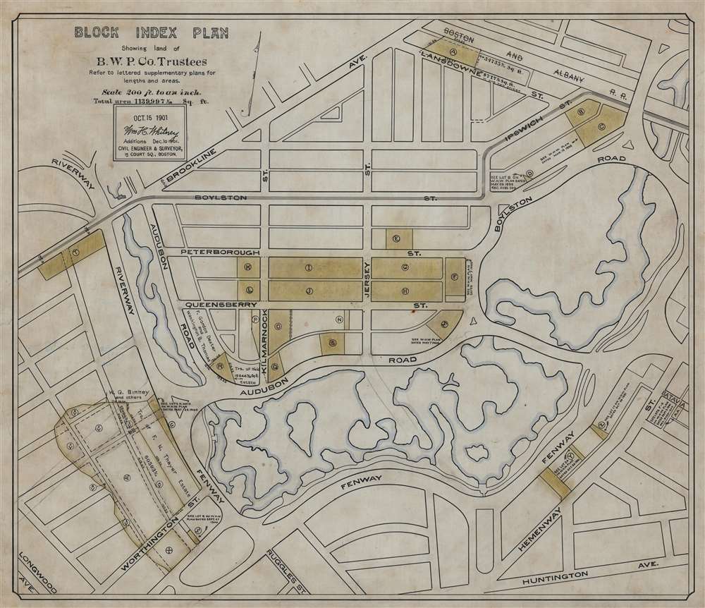
Block Index Plan Showing land of B.W.P. Co. Trustees.
sold
- Digital Map Information
- Suitable for large format printing
- File Size: 56.95 MB
- File Type: ZIP / TIFF
- ICC color profile embedded
- Delivered instantly via download link
This is a 1901 William H. Whitney manuscript map of the Back Bay Fens and the Fenway - Kenmore neighborhood in Boston, Massachusetts. Coverage extends from Brookline Avenue to Huntington Avenue, but the Fens dominate the map, with the waterways emphasized in light blue. Land owned by the Boston Water Power Company is in toned yellow or green. (more details)
San Francisco named Yerba Buena! Mexican-American War! Texas at its fullest expression!

Pictorial Map of the United States.
sold
- Digital Map Information
- Suitable for large format printing
- DPI: 600
- File Size: 1830.69 MB
- File Type: ZIP / TIFF
- ICC color profile embedded
- Delivered instantly via download link
A scarce American wall map of the United States and Mexico issued by Ensign and Thayer in 1849 - at the height of the California Gold Rush and the end of the Mexican-American War (1846 - 1848). This is one of the few maps to identify San Francisco as Yerba Buena, exhibit Texas's fullest territorial claims, and show Upper California (California, New Mexico, Arizona, Utah, Nevada, Colorado, etc.) prior to its breakup into territories. It is also the only map from this series to highlight the California Gold Region. (more details)
One of the earliest views of Singapore!

Rade et Ville de Sincapour. (Malaisie).
sold
- Digital Map Information
- Suitable for large format printing
- Full resolution TIFF file
- ICC color profile embedded
- Delivered instantly via download link
One of the earliest obtainable views of Singapore, this is Eugène Cicéri's 1846 view of Singapore drawn from original sketches and maps compiled during Dumont d'Urville's (1790 - 1842) circumnavigation of the globe. The source sketches were created when d'Urville's ships, Astrolabe and Zellee, were at Singapore between June 27 and July 2, 1839. (more details)
Art deco masterpiece from the Golden Age of American Pictorial Cartography.

Orange County A Historical Map.
sold
- Digital Map Information
- Suitable for large format printing
- File Size: 21.77 MB
- File Type: ZIP / TIFF
- ICC color profile embedded
- Delivered instantly via download link
A product of the Golden Age of American Pictorial cartography, this is a rare and spectacular Jean Goodwin 1929 Art Deco pictorial map of Orange County, Los Angeles metro area, California. The map is divided triptych-style into three 'panels': the left panel is a personification of California, arms full of oranges; a map of Orange County occupies the primary central panel; and at right a Franciscan friar references regional influence of early Franciscan Missions. Female portraits, bearing a resemblance to 'California' on the left, mark cities and towns including Huntington Beach, Anaheim, Brea, and Laguna Beach. Alternative iconography marks other towns, such as two seals for Seal Beach, or a sunset for Sunset Beach. Pictorial vignettes throughout celebrate California's history. An American soldier marks Ranchos Los Coyotes, an early American army camp from 1847. A stagecoach rumbles along the El Camino Real, and miners hunt for coal and silver in the county's hilly terrain. A 'golden' title cartouche flanked by three angels occupies the upper right section of the central 'panel'. (more details)
Mercator's Europe, Updated with Zeno's Revelations.
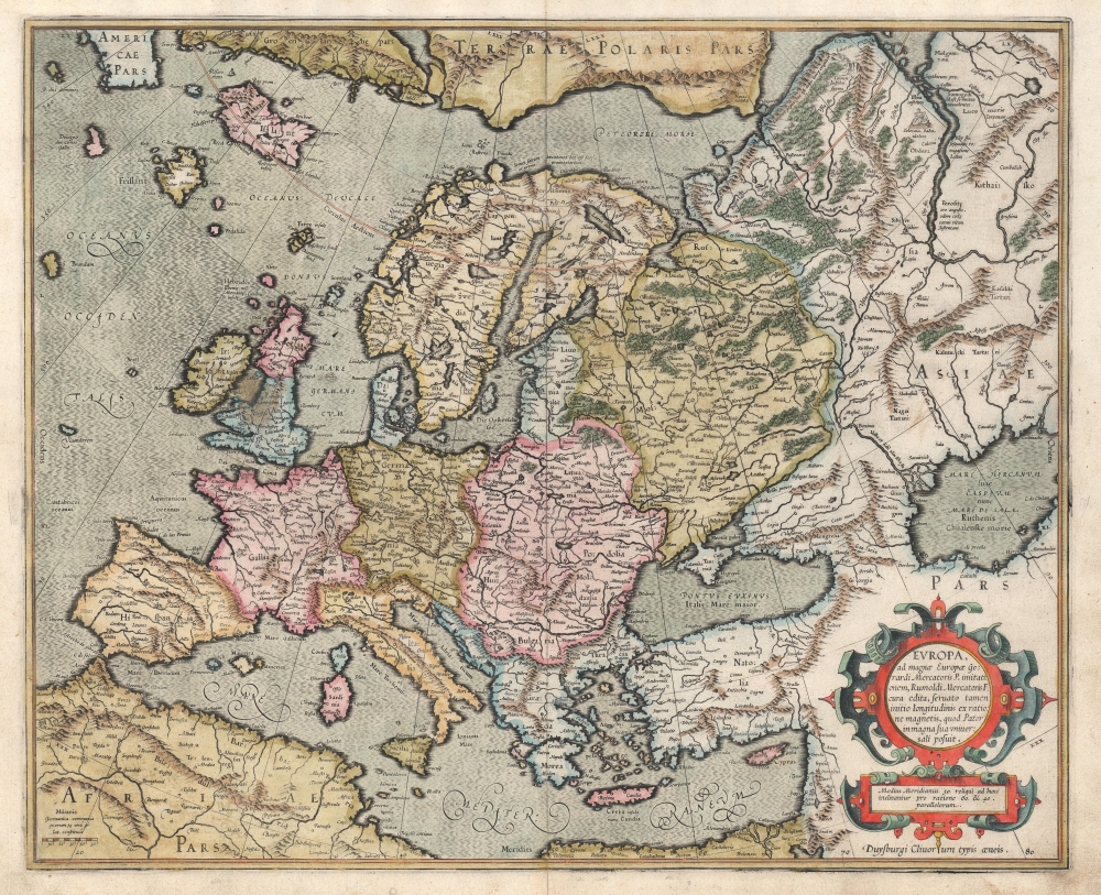
Europa, ad magnae Europae Gerardi Mercatoris P. imitationem, Rumoldi Mercatoris F. cura edita, servato tamen initio longitudinis ex ratione magnetis, quod Pater in magna sua universali posuit.
sold
- Digital Map Information
- Suitable for large format printing
- Full resolution TIFF file
- ICC color profile embedded
- Delivered instantly via download link
This is the 1595 first atlas edition of Gerard Mercator's map of Europe. It also Mercator's mapping of Muscovy, Tartary, and the distant north of Europe. The map reaches east beyond the River Ob and the Caspian Sea; it encompasses the Mediterranean Sea and reaches north to Mercator's theorized Arctic islands. (more details)