
First map of Sofia after World War I.

Plan of Sofia. / План на София.
sold
- Digital Map Information
- Suitable for large format printing
- File Size: 55.43 MB
- File Type: ZIP / TIFF
- ICC color profile embedded
- Delivered instantly via download link
This is a striking 1919 Alexander Petrov chromolithograph Map of Sofia, Bulgaria, issued at the end of World War I (1914 - 1918). The cartography here roughly corresponds to the Amadier Plan, a bold re-envisioning of Sophia, not only as a national capital, but also as a modern European city - rejecting nearly 500 years of Ottomanization. Bold chromolithograph color defines various neighborhoods, with important buildings indexed numerically. All text is in Bulgarian and French. (more details)
Magnificently Detailed Madagascar.
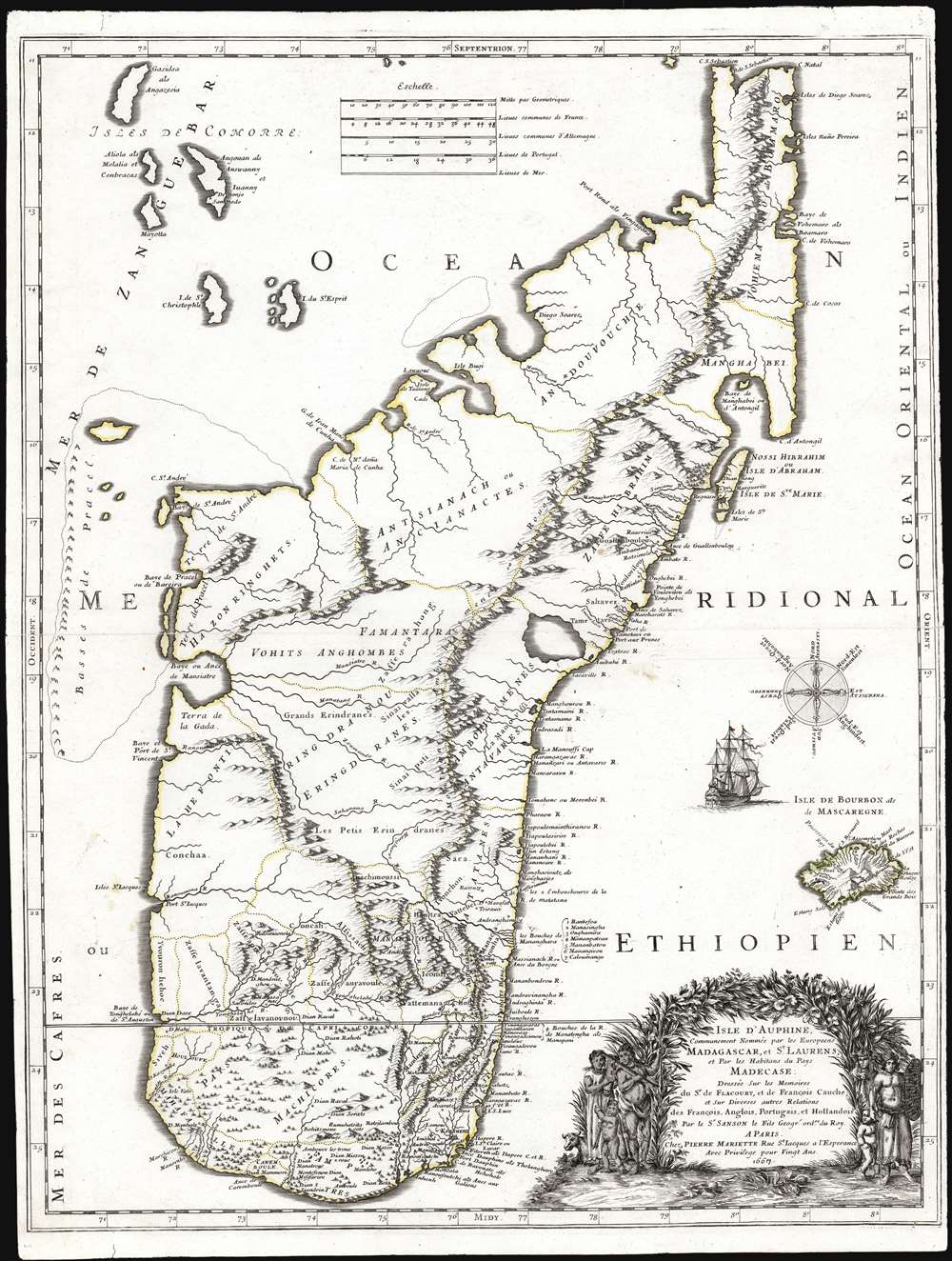
Isle d'Auphine, Communement Nommée par les Europeens Madagascar, et St. Laurens, et par les Habitans du Pays Madecase: Dressée Sur les Memoires du Sr. de Flacourt, et de François Cauche; et Sur Diverses autres Relations des François, Anglois, Portugais et Hollandois. Par le Sr. Sanson le Fils Geogr.' ordre. du Roy. A Paris. Chez Pierre Mariette Rue St. Jacques a l'Esperance Avec Privilege pour Vingt Ans. 1667.
sold
- Digital Map Information
- Suitable for large format printing
- Full resolution TIFF file
- ICC color profile embedded
- Delivered instantly via download link
This is the first edition of Nicolas Sanson's 1667 new map of Madagascar. This map represents the most significant advancement of Madagascar cartography since the map of Étienne de Flacourt (1607 - 1660), who from 1648 to 1653 was French East India’s Governor of Madagascar, and who in 1658 published the first natural history of the island,Histoire de la grande isle Madagascar. (more details)
The underpinning of modern San Diego.
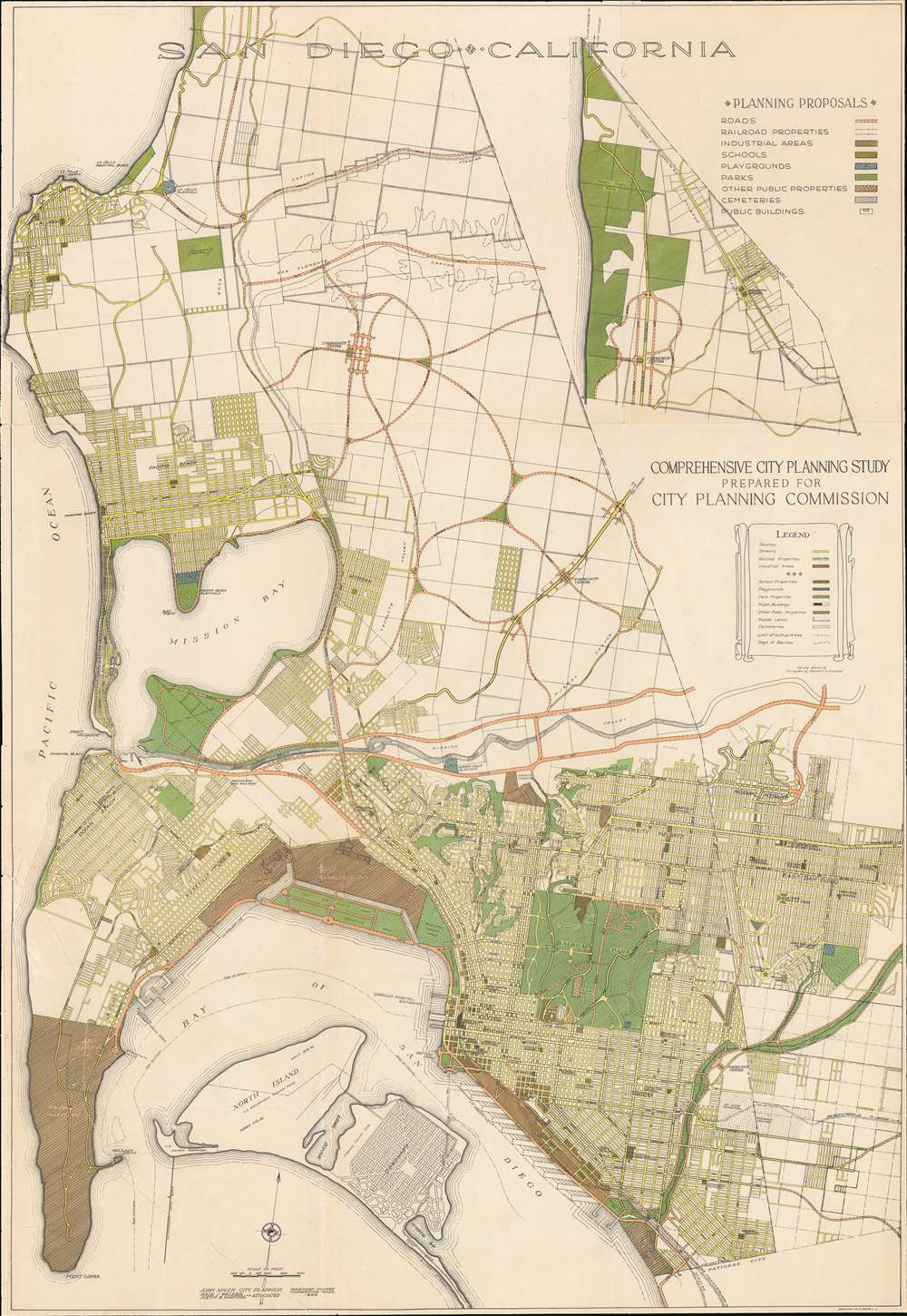
San Diego • California. Comprehensive City Planning Study Prepared for City Planning Commission.
sold
- Digital Map Information
- Suitable for large format printing
- Full resolution TIFF file
- ICC color profile embedded
- Delivered instantly via download link
A rare example of John Nolen's 1926 comprehensive city plan or map of San Diego. This is the second and most influential of Nolen's two San Diego planning maps and forms the underpinning of modern San Diego. Oriented slightly west of north, the map covers from La Jolla to Point Lomas and from the Pacific coast to Garnet Street. It is color coded according to Nolan's municipal design proposals, with special areas delegated for schools, industry, parks, public properties, playgrounds, and more. (more details)
Iconic Dutch Map of Persia.
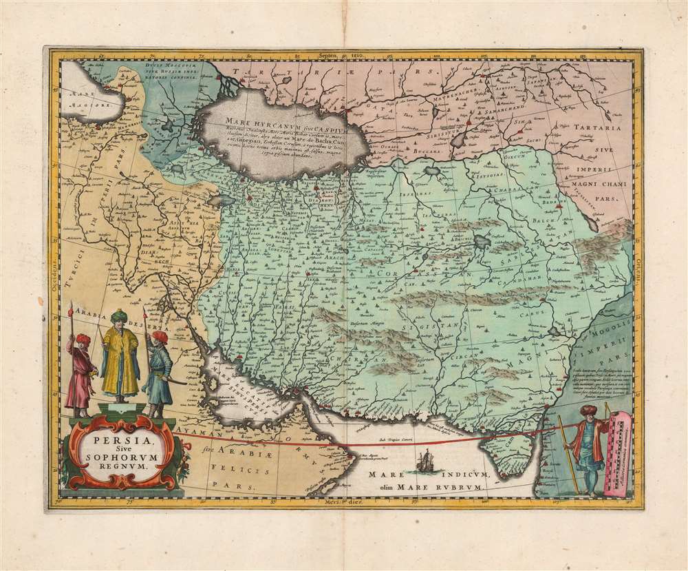
Persia Sive Sophorum Regnum.
sold
- Digital Map Information
- Suitable for large format printing
- Full resolution TIFF file
- ICC color profile embedded
- Delivered instantly via download link
This is a classic 17th-century Dutch map of the Kingdom of Persia in a beautiful, original-color example printed by Jan Jansson, for inclusion in the 1648 Latin edition of his Atlas Novus. This is one of the most beautiful Dutch Golden Age maps of Persia. (more details)
2nd Century Persian Empire.
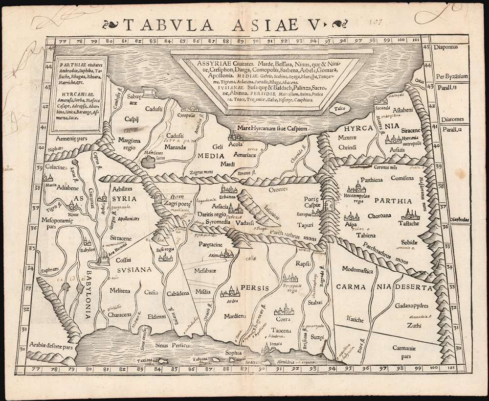
Tabula Asiae V.
sold
- Digital Map Information
- Suitable for large format printing
- Full resolution TIFF file
- ICC color profile embedded
- Delivered instantly via download link
This is a 1542 example of Sebastian Münster's Ptolemaic map of Persia, the fifth of Ptolemy's Asia maps. The map covers modern-day Iraq and Iran, extending from the Fertile Crescent to the desert south of the Caspian Sea. In the 1st and 2nd centuries CE, these territories were occupied by the Persian Empire, and its vassal kingdoms Carmania, Hyrcania, Parthia, Media, Assyria, Susiana (Elam), and Babylonia. The western limit of the map is marked by the Tigris and Euphrates Rivers; and the eastern by the Masdoranus Mountains (roughly corresponding to the Eastern Iranian Range). The map is bordered on the south by the Persian Gulf, and on the north by the southern shores of the Caspian Sea (then conceived as a wide and oval). (more details)
Giant mutant Beatles invade the British Isles!

Itinera Varia Auctoris.
sold
- Digital Map Information
- Suitable for large format printing
- Full resolution TIFF file
- ICC color profile embedded
- Delivered instantly via download link
This is a 1746 George Edwards map of Great Britain and northern Europe - being invaded by the Beatles! (couldn't resist) Published as the frontispiece to Edwards's celebrated book A Natural History of Uncommon Birds, the map traces Edwards's peregrinations around the British Isles between 1718 and 1730. A most visually striking piece, the map offers prominent illustrations of natural history: male and female stag beetles, an Egyptian ibis's beak, and a Jamaican Least Hummingbird. It is curious that Edwards would choose to illustrate a map of his travels in Europe with creatures from the other side of the world! (more details)
Everything a Visitor could want in friendly New York City.

Hagstrom's Map of High Spots in New York.
sold
- Digital Map Information
- Suitable for large format printing
- File Size: 40.74 MB
- File Type: ZIP / TIFF
- ICC color profile embedded
- Delivered instantly via download link
This is a 1945 Hagstrom map of New York City. Highlighting sites throughout the city, many with small pictorial icons, the map caters to the casual sightseer by marking tourist sites as well the more dedicated visitor, in chronicling nightclubs and theaters. (more details)
Brothels! Where to find them and how to use them.

Nevada Recreation Unlimited. Emergency Map of Nevada. A Housewife's Guide to Nevada's Wild Game Reserves.
sold
This is a 1975 McGuinness map of Nevada brothels. Bold text marks brothels around the state, with concentrations around Reno, Carson City, and Winnemucca. The map was published as an promotional for the Kit-Kat Ranch, one of Nevada's most historic brothels. Comical vignettes appear throughout while the map itself appears as if laid on aged paper - like an old prospector's map. Caricatures of prospectors promote the brothels, while a husband in a button-down shirt, slacks, and socks calls his wife to tell her 'I got a flat out in the desert…I'm at a ranch getting it pumped up now!' A text at bottom left reads:
Emergency Map of Nevada. A Housewife's Guide to Nevada's Wild Game Reserves. Something no wife should be without. Where to find hubby if a prowler comes in on a cold, lonely night, or the stove won't light and the toilet won't flush. Easy directions: Check map of your area. Remember the time hubby said he'd be home. Narrow it down to Reserve he'd be at. Call local Sheriff. (If that doesn't work, try a lawyer!)(more details)
Explore California's gold region.
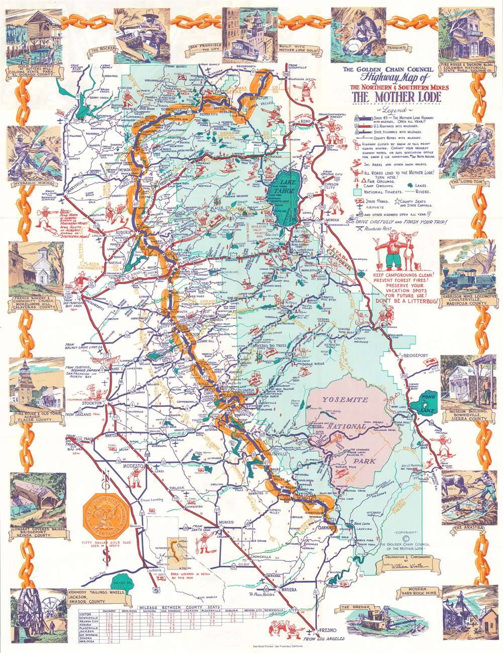
The Golden Chain Council Highway Map of the Northern and Southern Mines The Mother Lode.
sold
This is a c. 1955 William Wintle pictorial map of the Mother Lode gold region, California. The map depicts from Vinton south to Fresno and from Sacramento to Bridgeport, Nevada. Cartoonish prospectors point the way to the historic gold region. A golden chain highlights the 'Golden Chain Highway' (CSH 49) from Vinton to Oakhurst, which takes visitors through the heart of the district. Green emphasizes the forested areas of the Sierra Nevada Mountains while a pink area near the bottom of the map highlights Yosemite National Park. 'Bear Flags' mark California state parks, while snowmen mark highways that close in the winter. Illustrations of skiers promote ski areas. Wonderful color vignettes highlight important historical events, such as the discovery of gold at Sutter's Mill, historic buildings preserved in state parks, and prospectors mining for gold. (more details)
Details both Key West and Marathon Key.
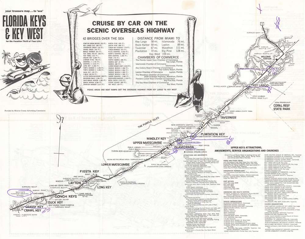
Your Treasure Map to 'Sea' Florida Keys and Key West for the Vacation Thrill of Your Life!
sold
This is a c. 1965 Monroe County Advertising Commission map of the Florida Keys. Printed on both sides, the map marks stops along the Overseas Highway from Homestead to Key West, naming major Keys en route. The Florida Keys Aquarium, Santini's Porpoise Training School, the Long Key Fishing Club, and the site of Zane Grey's former cottage rank among highlighted sites. Boat ramps, underwater coral gardens, campgrounds, golf courses, and movie theaters, more traditional tourist sites, also appear. A scroll occupies most of Florida Bay and names the forty-two bridges on the Overseas Highway, with distances. An index for the Upper Keys is included. (more details)
The height of Venetian culture.

Venetia.
sold
- Digital Map Information
- Suitable for large format printing
- Full resolution TIFF file
- ICC color profile embedded
- Delivered instantly via download link
This is a beautiful full-color example of Matthäus Merian c. 1642 view of Venice at the height of its prosperity. The view looks directly north on Venice from a fictional highpoint in the Adriatic just south of Giudecca. The Piazza San Marco appears at center, with the Grand Canal winding its way through the neighboring islands Murano, Burano, Torcello, and Mazorbo, among others. The harbor is particularly bustling, with ships of all sizes and shapes waiting to dock. The armorial crest of the Republic of Venice appears in the upper right, crowned by the Doge's cap and the winged Lion of Venice at center. (more details)
Pre-Baroque Rome!
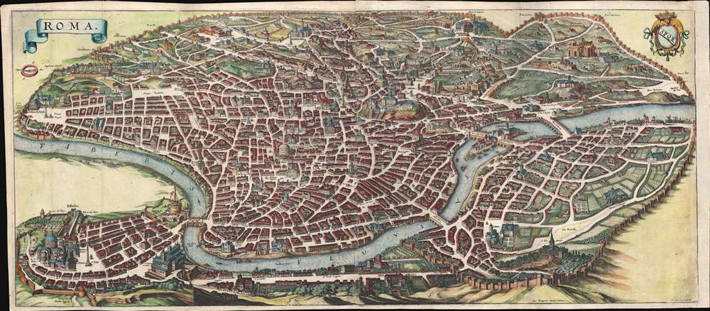
Roma.
sold
- Digital Map Information
- Suitable for large format printing
- Full resolution TIFF file
- ICC color profile embedded
- Delivered instantly via download link
An important and stunning c. 1642 bird's eye view and map of Rome by Matthäus Merian. Merian's panoramic view of Rome, based on the eastward oriented model established in 1593 by Antonio Tempesta, reveals the city at the height of the Italian Renaissance. The view looks on Rome from the northwest - thus looking roughly southwest. This map follows shortly after Pope Sixtus V's ambitious civic redesign of Rome and yet predates the massive rebuilding that occurred during the Baroque Period, thus encapsulating the city during an ephemeral but significant period. The axonometric projection that Merian utilizes lends this map a special significance to historians and architects who can thus visualize many buildings that were demolished or fell into ruin during the subsequent era. (more details)
One of the Earliest Acquirable Views of Venice.

Contrafehtung der fürnemmen Statt Venedig sampt den umbligenden Inseln.
sold
- Digital Map Information
- Suitable for large format printing
- Full resolution TIFF file
- ICC color profile embedded
- Delivered instantly via download link
This is Sebastian Munster's attractive, woodcut view of the city of Venice, one of the earliest generally acquirable. It displays the famous city, emphasizing the turbulent waters beyond the sand banks and the calm shallows in which the city lies protected. Many of the city's famous buildings and churches are labeled, including the iconic Piazza San Marco. Sail boats ply the waters. (more details)
Chicago to Madison by rail.

Panoramic View of the Route of the Aurora, Elgin, and Chicago Railroad. The Great Third-rail Double-track Electric Railroad connecting Chicago and the Fox River Valley.
sold
- Digital Map Information
- Suitable for large format printing
- Full resolution TIFF file
- ICC color profile embedded
- Delivered instantly via download link
A striking c. 1911 Rand McNally chromolithograph view of Chicago and lands west as far as Madison, Wisconsin. The view illustrates the routes and coverage of the 'Chicago, Aurora, and Elgin Railroad', Chicagoland's largest Pre-WWI interurban electric railroad, along with connecting interurban railways from Elgin west to Freeport and Madison. (more details)
First Specific Copperplate Map of Brazil.
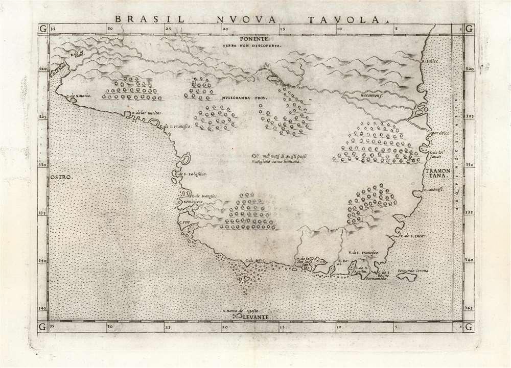
Brasil Nuova Tavola.
sold
- Digital Map Information
- Suitable for large format printing
- Full resolution TIFF file
- ICC color profile embedded
- Delivered instantly via download link
This is a 1561 first plate issue of Girolamo Ruscelli's map of Brazil. It is among the first, detailed specific maps of any part of South America. While most of the maps in Ruscelli’s edition of Ptolemy were based on those appearing in Gastaldi's 1548 Ptolemy, this map was a new composition. It is predated only by the Ramusio woodcut map of 1556, whose geography is also credited to Gastaldi, and from which much of the detail of the Ruscelli is derived. (more details)
Southern - The Way to Florida!
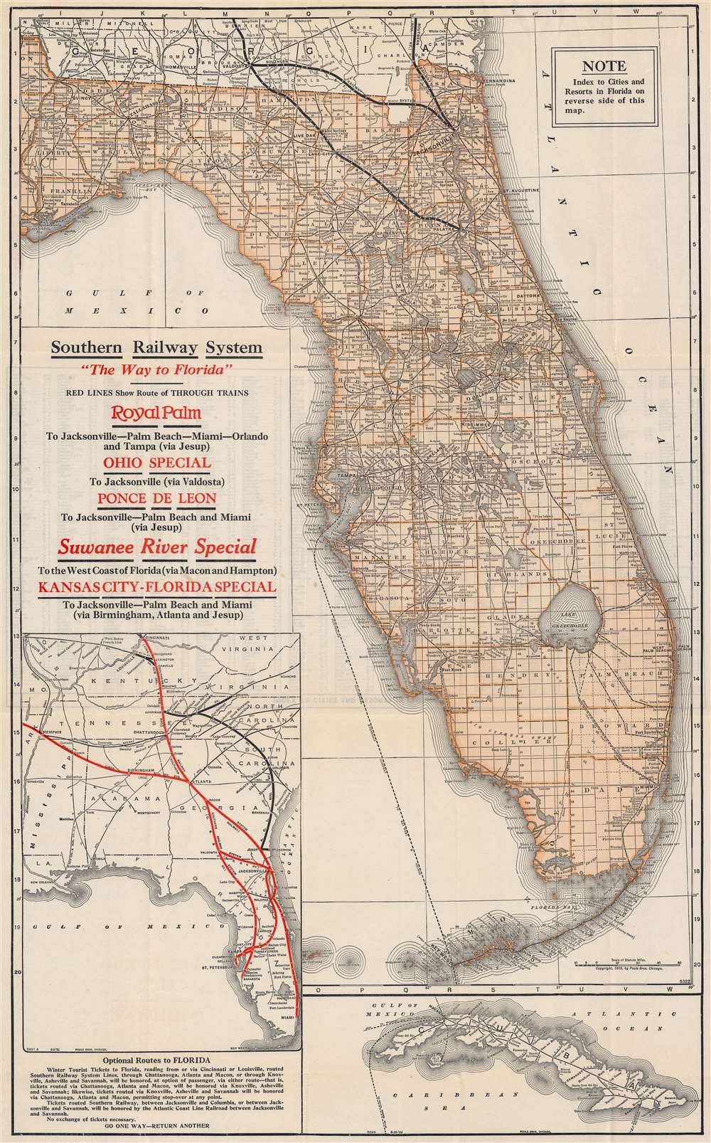
Southern Railway System 'The Way to Florida'. / Map of Florida.
sold
- Digital Map Information
- Suitable for large format printing
- Full resolution TIFF file
- ICC color profile embedded
- Delivered instantly via download link
This is a 1924 Poole Brothers railroad map of Florida published by the Southern Railway System. This is one of the few maps to illustrate the ephemeral full operating route of the Florida East Coast Railroad extending through the Keys to Key West. Routes owned by Southern Railway and its subsidiaries in northern Florida are emphasized with thick black lines. Additional competing railroad networks are depicted using thinner lines. The Peninsular and Occidental Steamship Company, which connected Tampa with Key West and Havana, Cuba, is marked by a dotted line running through the Gulf of Mexico. An inset map along the left border highlights the Southern Railway System from Cincinnati and Memphis to Miami, along with other rail lines in the American Southeast. A second inset map of Cuba is situated in the lower right corner that illustrates Cuban railways. (more details)
Praising the United Nations intervention in Bosnia.
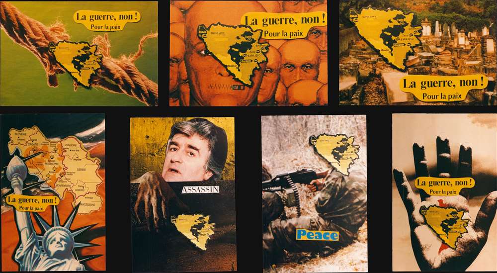
La guerre, non! Pour la paix.
sold
This is a c. 1994 set of seven (7) limited-edition postcards created and published by Jacques Lardie. Six of the seven postcards feature of map of Bosnia and Herzegovina that marks cities occupied by the United Nations. The seventh postcard bears a map of the entirety of former Yugoslavia divided into the new nations of the Balkans. Explosions mark cities where major combat took place. (more details)
Illustrates both Wrigley Field and Comiskey Park!

Chicago Motor Coach Pictorial Map of Chicago.
sold
- Digital Map Information
- Suitable for large format printing
- Full resolution TIFF file
- ICC color profile embedded
- Delivered instantly via download link
This is an attractive c. 1927 Clason Map Company pictorial city plan or map of Chicago, Illinois. Depicting from Howard Street south to East and West 87th Street, important buildings throughout are illustrated in profile, including the Field Museum, The Art Institute, the Museum of Natural History, Wrigley Field (labeled as Cubs Ball Park), and Comiskey Park (labeled White Sox Ball Park). Similar vignettes illustrate hotels, schools, hospitals, office buildings, churches, and numerous other buildings. The city's parks, cemeteries, and golf and polo clubs are illustrated and colored green. Published for the Chicago Motor Coach Company, pink, green, and red lines trace the motor coach routes through the North Site, West Side, and South Side, respectively. (more details)
Uncommon map of San Mateo on verso.
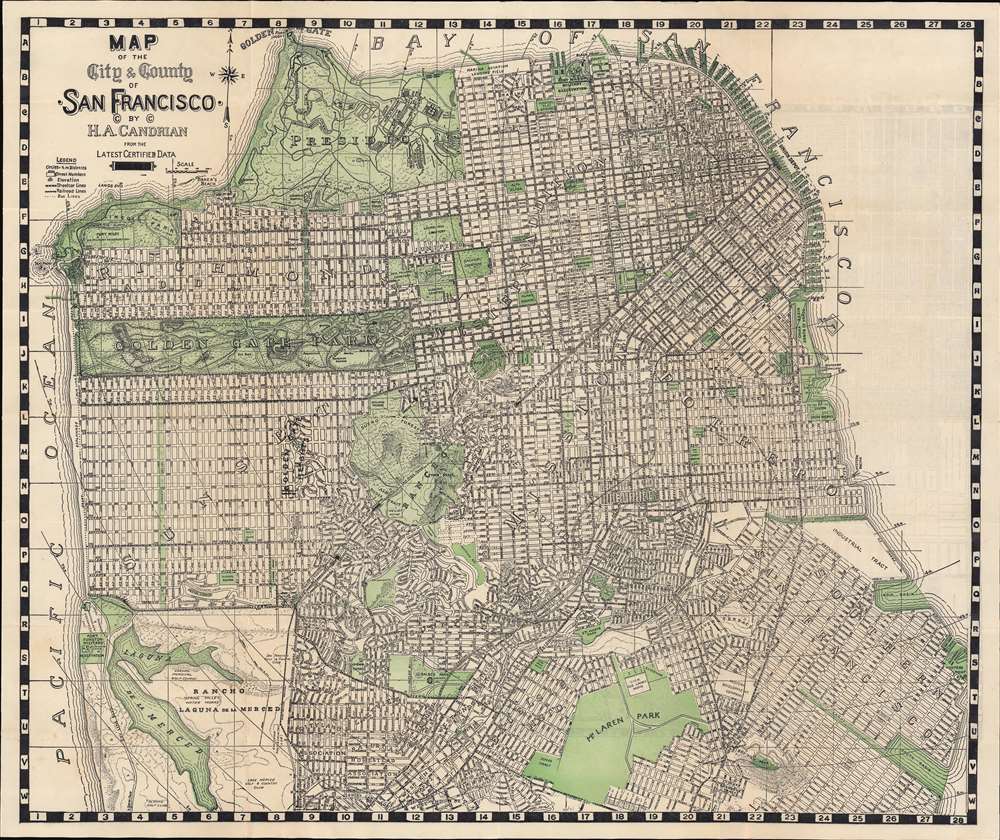
Map of City and County of San Francisco. / Map of San Mateo.
sold
- Digital Map Information
- Suitable for large format printing
- Full resolution TIFF file
- ICC color profile embedded
- Delivered instantly via download link
This is an appealing 1929 map of San Francisco and San Mateo, California, by Hermon Anton Candrian and Davenport Bromfield. Candrain published maps from the early 1900s through the 1935s. Although his maps of San Francisco are universally pleasing to the eye and well made, Candrian maps are of greater interest for their verso content, which often feature excellent maps of generally underserved parts of the Bay Area - in this case San Mateo. (more details)
Inspiration for H P. Lovecraft!

A Celestial Planisphere, or Map of the Heavens.
sold
- Digital Map Information
- Suitable for large format printing
- Full resolution TIFF file
- ICC color profile embedded
- Delivered instantly via download link
This is a rare 1835 Elijah Burritt hand-colored map of the night sky. Centered on the Ecliptic Line, this map identifies zones associated with each major constellation. The Milky Way is shaded. A scale exhibiting the Sun's place in the ecliptic at various times of the year appears below the map proper. This map, like all of Burritt's charts, is based on the celestial cartographic work of Ignace-Gaston Pardies (1635 - 1673) and Johann Gabriel Doppelmayr (1677 - 1750). (more details)