
Mapping the Florida Land Boom.
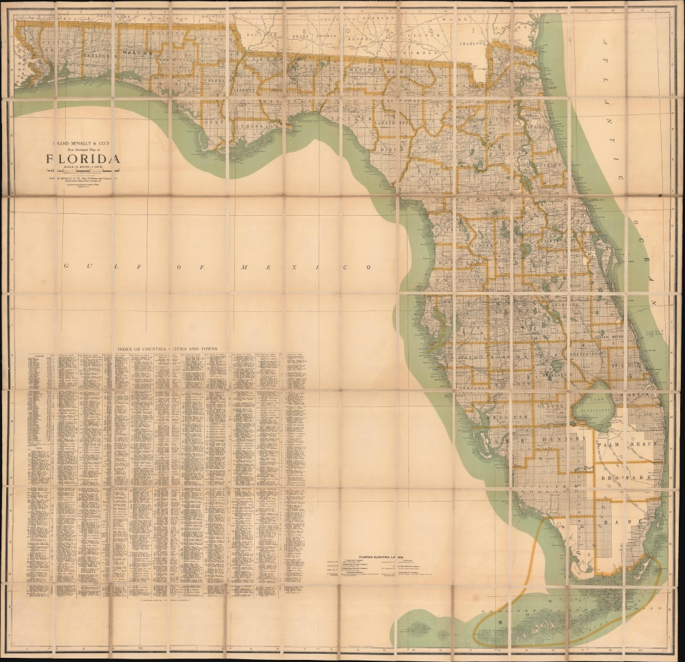
New Sectional Map of Florida.
sold
- Digital Map Information
- Suitable for large format printing
- File Size: 220.82 MB
- File Type: ZIP / TIFF
- ICC color profile embedded
- Delivered instantly via download link
A scarce and monumentally proportioned 1925 large format map of Florida by Rand McNally. Produced at the height of the 1920s Florida Land Boom, it reflects the state as it underwent a demographic transformation. (more details)
Explorer's Routes and National Roads.
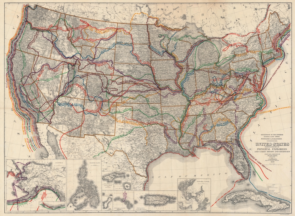
United States Showing Routes of Principal Explorers and Early Roads and Highways.
sold
- Digital Map Information
- Suitable for large format printing
- File Size: 143.92 MB
- File Type: ZIP / TIFF
- ICC color profile embedded
- Delivered instantly via download link
A most fascinating work, this is the 1908 edition of the Berthrong / Bond map of the United States, showing exploratory routes and improved roads. (more details)
Land of the Rising Sun.

[Untitled View of Japan].
sold
- Digital Map Information
- Suitable for large format printing
- Full resolution TIFF file
- ICC color profile embedded
- Delivered instantly via download link
A scarce 1840 ukiyo-e woodblock print bird's-eye view of Japan published by Suharaya Mohē. (more details)
Frontier of the French and Indian War.
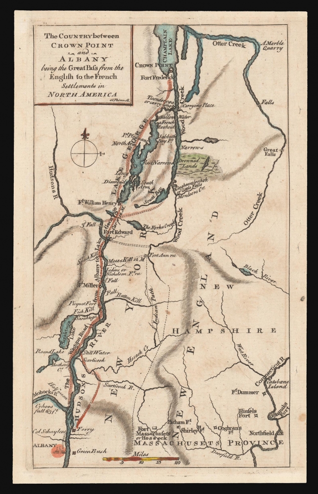
The Country between Crown Point and Albany being the Great Pass from the English to the French Settlements in North America.
sold
- Digital Map Information
- Suitable for large format printing
- DPI: 600
- File Size: 4.83 MB
- File Type: ZIP / TIFF
- ICC color profile embedded
- Delivered instantly via download link
This is a rare 1858 map of a key theatre of the French and Indian War, engraved by Thomas Phinn in Edinburgh to satisfy readers hungry for news. Although of broader scope, it is remarkable in pre-dating the famous Brasier map of Lakes Champlain and George, the earliest separate map specifically of those lakes. The Brasier surveys began after the publication of the present map. (more details)
Burning of the Steamship Lexington in Long Island Sound.

Awful Conflagration of the Steam Boat Lexington in Long Island Sound on Monday Evening, January 13th, 1840, by Which Melancholy occurrence; over 150 Persons Perished.
sold
- Digital Map Information
- Suitable for large format printing
- DPI: 600
- File Size: 13.51 MB
- File Type: ZIP / TIFF
- ICC color profile embedded
- Delivered instantly via download link
This is an 1840 view of the tragic burning of the steamboat Lexington on Long Island Sound, New York. It was issued shortly after the disaster to satisfy public interest in the devastating event. (more details)
A Map for the Metropolis.
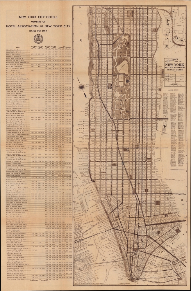
Nostrands Map of New York House Numbers Subway Guide / Visitors Map and Hotel Directory of New York.
sold
- Digital Map Information
- Suitable for large format printing
- Full resolution TIFF file
- ICC color profile embedded
- Delivered instantly via download link
An eminently useful map and guide, this work was produced c. 1933 by George Nostrand of the Ohman Map Co. for the Hotel Association of New York City. It presents the city during the strange decade of the 1930s, when economic depression gripped the country but also when many of the city's distinctive buildings, bridges, and tunnels were built. (more details)
On the cusp of the Siamese Revolution of 1688.
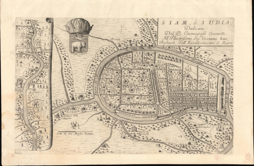
Siam, ò Iudia, Dedicata Dal P. Cosmografo Coronelli All'Illustrissimo Sig: Giouanni Emo.
sold
- Digital Map Information
- Suitable for large format printing
- Full resolution TIFF file
- ICC color profile embedded
- Delivered instantly via download link
This is Coronelli's important 1689 map of Ayutthaya, representing the Siamese capital at the height of the Ayutthaya Period (1351 - 1767), considered a golden age for Thailand. At the time, Ayutthaya was the world's largest, most sophisticated city, with a population exceeding 1,000,000. The cartography here immediately predates the 1688 Siamese Revolution, and thus includes foreign settlements, churches, and schools. All of these were violently expelled in the Revolution's aftermath. As such, this map reflects the most sophisticated European mapping of the Siamese capital through the 18th century - the Siamese themselves did not make maps as such. (more details)
Chinese medicine will turn you into Charles Atlas!

Map of Guangdong. / 廣東地圖
sold
- Digital Map Information
- Suitable for large format printing
- File Size: 39.27 MB
- File Type: ZIP / TIFF
- ICC color profile embedded
- Delivered instantly via download link
A promotional map of Canton / Guangdong (广东) / Hong Kong issued by the Leung Kai Fook Drug Store (梁介福). The map uniquely illustrates Chinese-Foreign relations through its unusual advertisements that use Western models to promote products to a primarily Chinese audience. (more details)
Colonial Troops in the WWII East African Campaign.
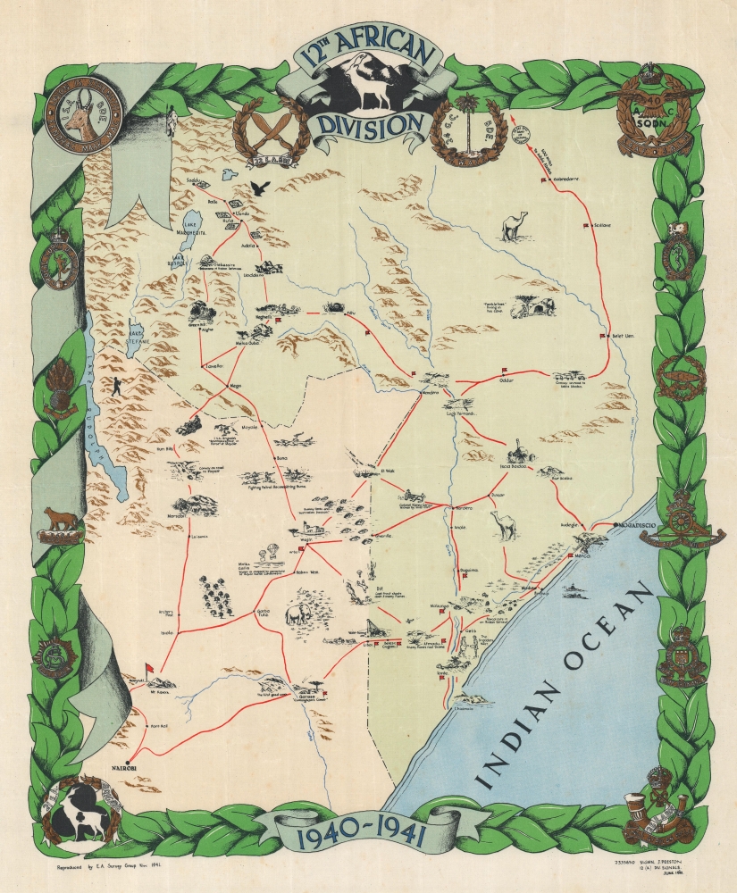
12th African Division.
sold
- Digital Map Information
- Suitable for large format printing
- File Size: 42.03 MB
- File Type: ZIP / TIFF
- ICC color profile embedded
- Delivered instantly via download link
This is a rare 1941 World War II pictorial map of East Africa highlighting the 12th African Division, drawn by J. Preston, a signalman with the Division. This is one of the only WWII route maps we have identified to detail either the East African Campaign or Colonial Troop Units. (more details)
State of Singapore, founded.
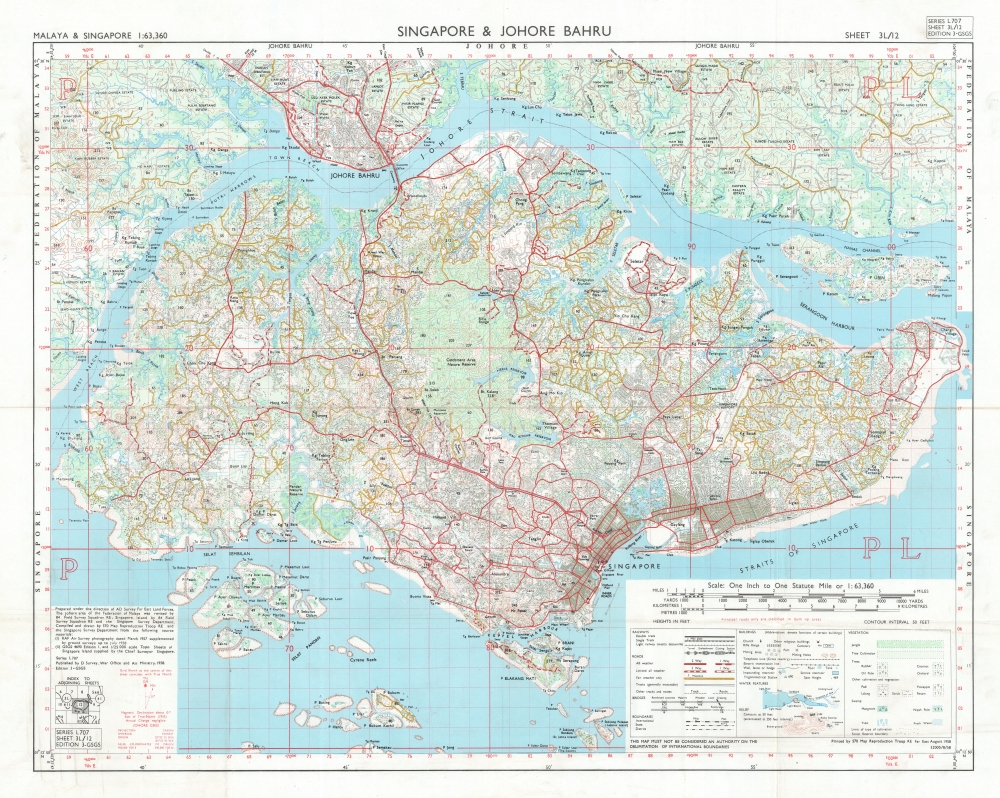
Singapore and Johore Bahru.
sold
This is a 1958 British War Office map of Singapore and Johor Bahru (Johore Bahru). This is one of the earliest maps of the self-governed State of Singapore, published in the same month it was established, paving the way for independence in 1965. (more details)
Luzon during the Philippine-American War.
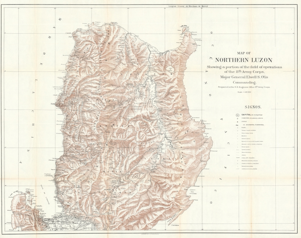
Map of Northern Luzon Showing a portion of the field operations of the 8th Army Corps, Major General Elwell S. Otis Commanding.
sold
- Digital Map Information
- Suitable for large format printing
- File Size: 70.87 MB
- File Type: ZIP / TIFF
- ICC color profile embedded
- Delivered instantly via download link
This is a rare map of Northern Luzon, the Philippines, issued in 1900 at the height of the Philippine-American War (1899 – 1902) by the Military Governor in the Philippines, Major General Elwell Stephen Otis, and the 8th Army Engineering Corps. This map is one of the largest and most detailed cartographic productions to emerge from the Philippine-American War. (more details)
A Visual Pilgrimage.
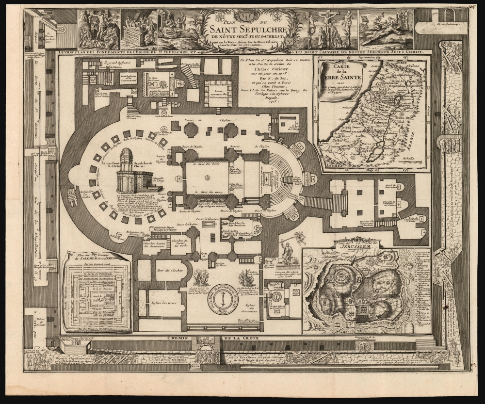
Plan du Saint Sepulchre de Notre Seigr. Jesus-Christ Situe en la Terre Sainte sur le Mont-Calvaire dans la Cite de Jerusalem from: Suite de l'Atlas Curieux.
sold
- Digital Map Information
- Suitable for large format printing
- DPI: 600
- File Size: 55.72 MB
- File Type: ZIP / TIFF
- ICC color profile embedded
- Delivered instantly via download link
This is Nicolas De Fer's scarce, richly detailed 1715 plan of the Church of Holy Sepulchre, Jerusalem. (more details)
Wonderland of Mountains and Forests (without the Forests).

Scarborough's Topographic Map of the White Mountains and Central New Hampshire.
sold
- Digital Map Information
- Suitable for large format printing
- File Size: 191.39 MB
- File Type: ZIP / TIFF
- ICC color profile embedded
- Delivered instantly via download link
This large and impressive map of the White Mountains and central New Hampshire was published by the Scarborough Company, successor to the National Publishing Company, in 1903. It displays the region on the eve of the automobile era, when it was a favorite retreat of well-heeled tourists from Boston, New York, and beyond. (more details)
Orange Bowl and city parks.
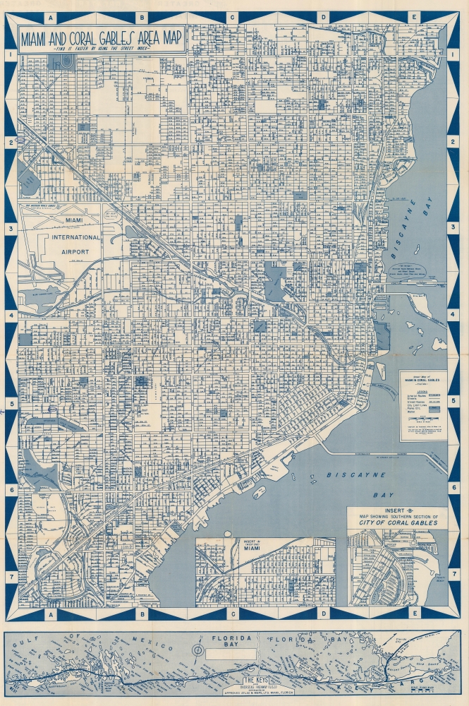
Miami and Coral Gables Area Map.
sold
This is a striking 1949 'Approved Atlas and Maps' city map of Miami and Coral Gables, Florida. (more details)
A Firsthand View of Lindau am Bodensee.

Die Statt Lindaw am Bodensee auff einer freyen Inseln gelegen/ gerings umb mit Wasser umbgeben.
sold
- Digital Map Information
- Suitable for large format printing
- Full resolution TIFF file
- ICC color profile embedded
- Delivered instantly via download link
Sebastian Münster's lively 1550 / 1598 view of Lindau am Bodensee was, in its first edition, the earliest printed image of that city. It was drawn by a native of the city: humanist Achilles Pirmin Gasser, a regular collaborator of Münster's. The view represents a vivid and largely accurate view of a unique and distinctive city, produced by a native son well versed in the discipline of cosmography. (more details)
Circling the Globe.
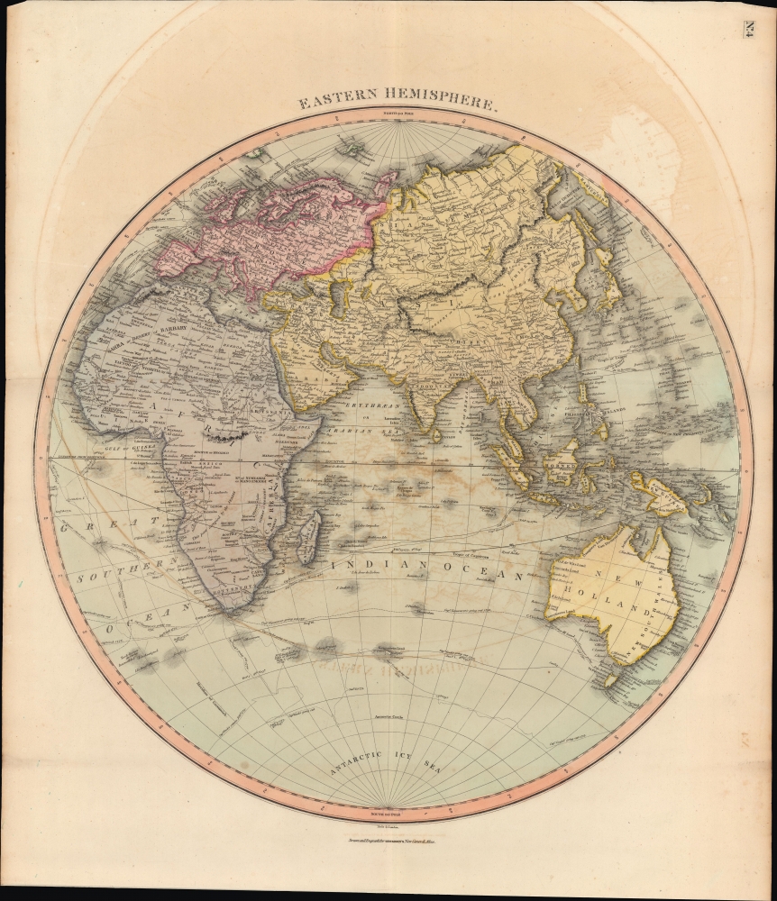
Eastern Hemisphere.
sold
- Digital Map Information
- Suitable for large format printing
- DPI: 600
- File Size: 61.44 MB
- File Type: ZIP / TIFF
- ICC color profile embedded
- Delivered instantly via download link
A lovely, hand-colored map of the Eastern Hemisphere, prepared by John Thomson for his New General Atlas. Among other features, it traces the voyages of exploration and circumnavigation of the late 18th century, including Cook, Vancouver, and La Perouse. (more details)
Starring the Global Telegraph Network.
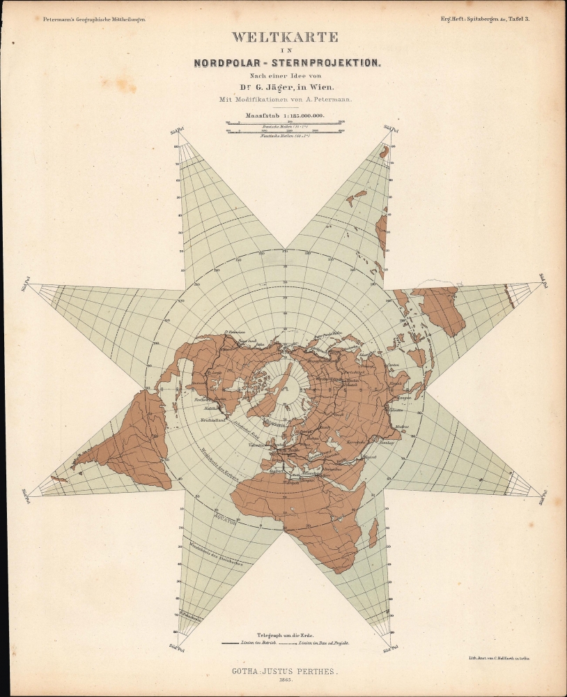
Weltkarte in Nordpolar-Sternprojektion nach einer Idee von G. Jäger, in Wien.
sold
- Digital Map Information
- Suitable for large format printing
- File Size: 8.37 MB
- File Type: ZIP / TIFF
- ICC color profile embedded
- Delivered instantly via download link
A fascinating star-shaped polar projection, prepared by Augustus Petermann in 1865 for Petermann's Geographische Mitteheilungen. Aside from demonstrating a sophisticated polar projection, the map is notable for reflecting the global telegraph network at the time. (more details)
'Train' around St. Augustine.

St. Augustine by Sightseeing Trains.
sold
A delightful c. 1980 pictorial map of St. Augustine, Florida, prepared for St. Augustine Trains, highlighting landmarks and tourist attractions. (more details)
Advances in 19th Century Climate Science.
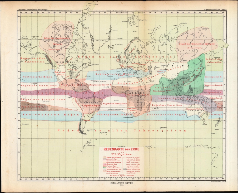
Regenkarte der Erde.
$250.00
Acquire
- Digital Map Information
- Suitable for large format printing
- File Size: 15.02 MB
- File Type: ZIP / TIFF
- ICC color profile embedded
- Delivered instantly via download link
A colorful map of the world on a Mercator Projection demonstrating climate regions, produced by Alexander Voeikov and published in 1874 in Petermann's Geographische Mitteheilungen. (more details)
One of the Most Influential Maps of the Tokugawa.
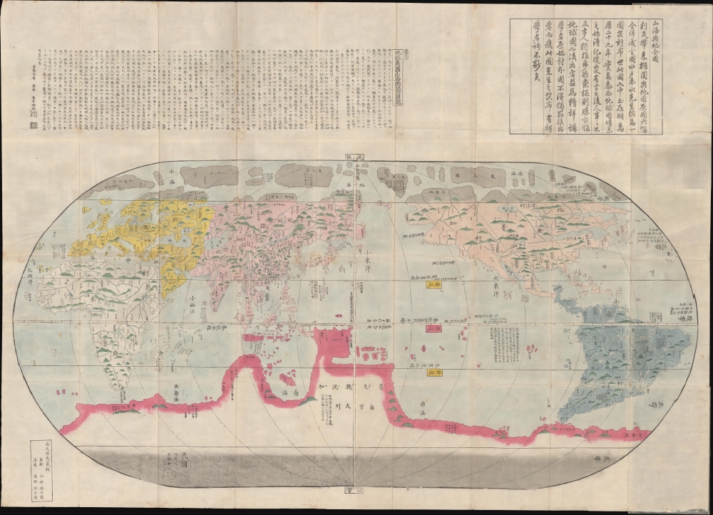
改正地球萬國全圖 / [Revised Map of the Myriad Countries of the World].
sold
- Digital Map Information
- Suitable for large format printing
- Full resolution TIFF file
- ICC color profile embedded
- Delivered instantly via download link
A stunning and influential work, possibly in its earliest edition, this large c. 1790 Japanese world map was issued by Nagakubo Sekisui, the premier Japanese geographer of the late 18th century. It is Nagakubo's interpretation of the 1602 'Matteo Ricci Map', the first map to integrate East Asian and European cartographic knowledge. It includes significant updates over the Ricci, most notably the addition of Australia and islands north of Japan (Hokkaido and the Kurils). (more details)