
NEW ACQUISITIONS
Do You Speak Princetonian?
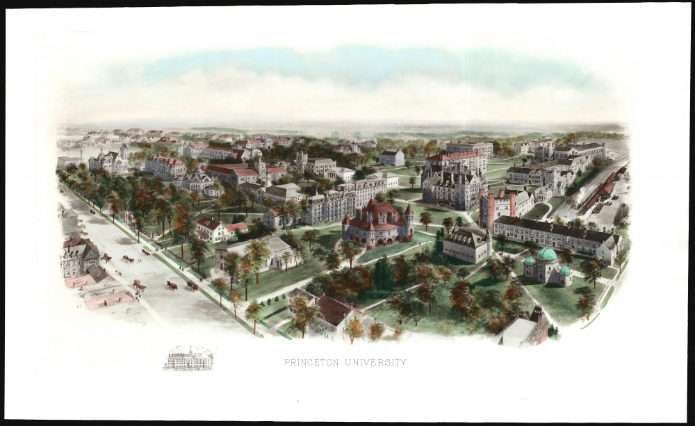
Princeton University.
$1,500.00
Acquire
- Digital Map Information
- Suitable for large format printing
- Full resolution TIFF file
- ICC color profile embedded
- Delivered instantly via download link
This is a scarce 1906 Richard Rummell view of Princeton University, in a brilliant full-color example. This is the earlier of two views of the campus Rummell produced. (more details)
Thailand's Contribution to the Korean War.
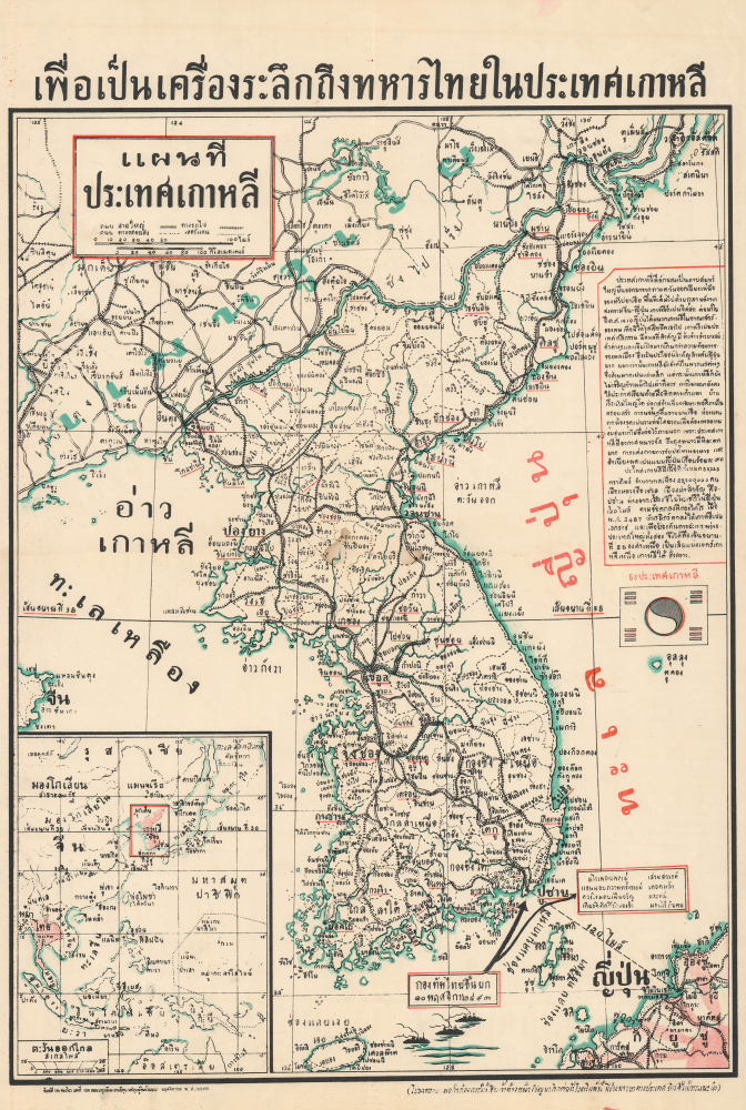
เพื่อเป็นเครื่องระลึกถึงทหารไทยในประเทศเกาหลี [In Memory of the Thai Soldiers in Korea] / แผนที่ ประเทศเกาหลี [Map of Korea].
$1,500.00
Acquire
- Digital Map Information
- Suitable for large format printing
- Full resolution TIFF file
- ICC color profile embedded
- Delivered instantly via download link
This is a rare and perhaps unique November 1950 Thai-language map of Korea extolling Thai soldiers who would soon fight in the opening phase of the Korean War (1950 - 1953). The map was published in Bangkok to promote to the interested Thai public, Thailand's support for South Korea and the emerging U.S. alliance system in Asia, which included both South Korea and Thailand, in the early Cold War. Thailand was the first Asian power to participate in the Alliance. (more details)
Anti-German propaganda mission in Tehran.
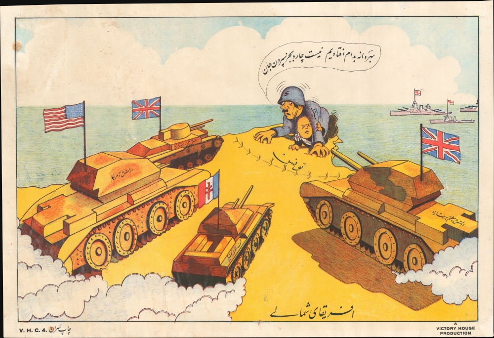
افریقا ی شمال ی / [North Africa].
$1,200.00
Acquire
- Digital Map Information
- Suitable for large format printing
- Full resolution TIFF file
- ICC color profile embedded
- Delivered instantly via download link
The only known surviving example of a 1943 propaganda broadside issued in Tehran, Iran, by Victory House - a propaganda arm of the British government operating in Iran during World War II (1939 - 1945). It is part of a series of extraordinary broadsides issued by the pro-British Victory House to sway Iranian political sentiment towards the Allies by promoting a message of inevitable victory. The image here illustrates American, British, and Free French tanks surging towards the fortified northern tip of Tunisia, where Hitler and Mussolini cower as a fleet of British battleships approaches from the sea - imagery representative of the Tunisian Campaign, which, when this was issued early in 1943, had driven the German/Italian Afrika Korps to a last stand. (more details)
Keep out Prussians and Contain the Revolution.
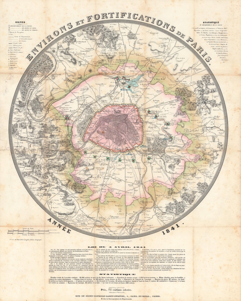
Environs et fortifications de Paris, année 1841.
$1,200.00
Acquire
- Digital Map Information
- Suitable for large format printing
- Full resolution TIFF file
- ICC color profile embedded
- Delivered instantly via download link
An impressive, hand-colored c. 1841 representation of Paris and environs by Hyacinthe Langlois. The map highlights the city's defenses, in particular the 'Thiers Wall' constructed between 1841 and 1846. (more details)
Canada's Westward Expansion.
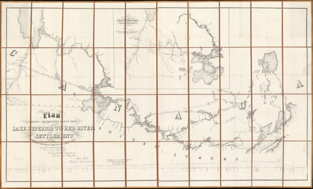
Plan Shewing The Proposed Route From Lake Superior To Red River Settlement...
$1,200.00
Acquire
- Digital Map Information
- Suitable for large format printing
- Full resolution TIFF file
- ICC color profile embedded
- Delivered instantly via download link
A historically significant 1858 map of the Canadian region stretching from Lake Winnipeg and the Red River Settlement to the western shores of Lake Superior. It is based on surveys by Simon James Dawson and William Napier, conducted during a Canadian government-sponsored expedition undertaken the previous year, and was published in Henry Youle Hind's Report on a Topographical and Geological Exploration of the Canoe Route Between Fort William, Lake Superior, and Fort Garry, Red River... The expedition's work, along with a concurrent British-financed expedition over some of the same territory, greatly stimulated interest in both London and Ottawa for Canada's westward expansion, which was realized in the following decades. (more details)
Japanese World Map on the Eve of Perry's 'Black Ships'.
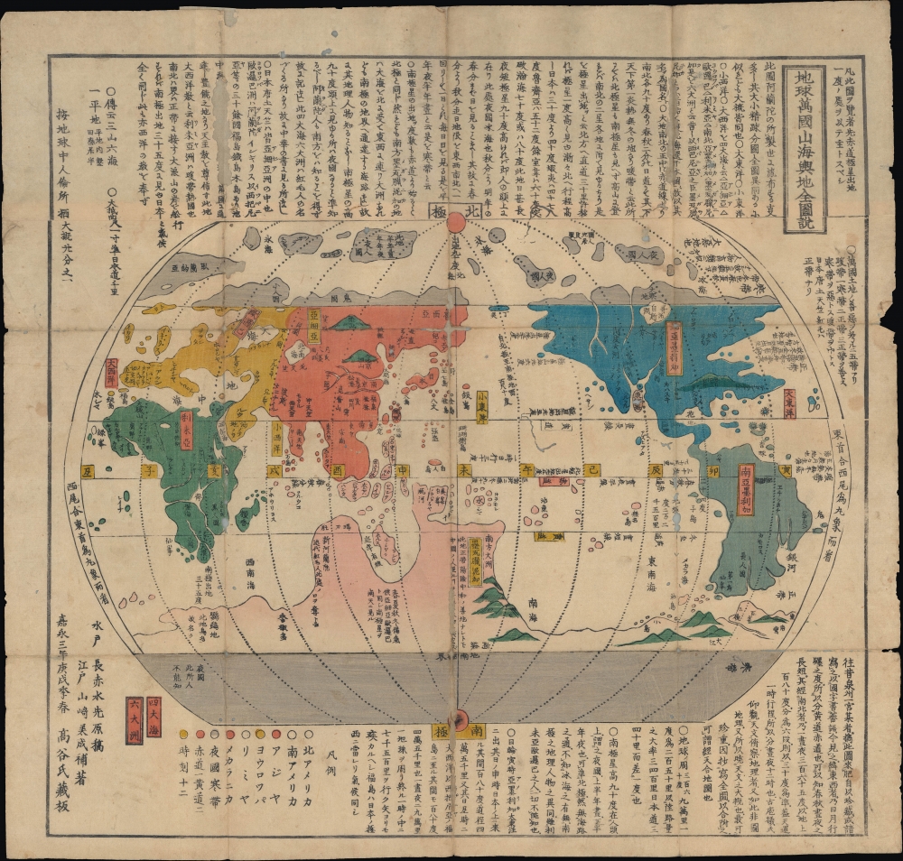
地球萬國山海輿地全圖說 / [Complete Geographic Map and Description of the World].
$1,200.00
Acquire
- Digital Map Information
- Suitable for large format printing
- Full resolution TIFF file
- ICC color profile embedded
- Delivered instantly via download link
A scarce c. 1850 Japanese map of the world, based on a 1785 original by Nagakubo Sekisui with updates added by Yamazaki Yoshinari. Published on the eve of Japan's forcible opening at the hands of Commodore Matthew Perry, this map represents a bridge between early modern Japanese cartography and the cartographic revolution that followed Japan's opening in the 1850s. (more details)
Seat of Hunterdon County.
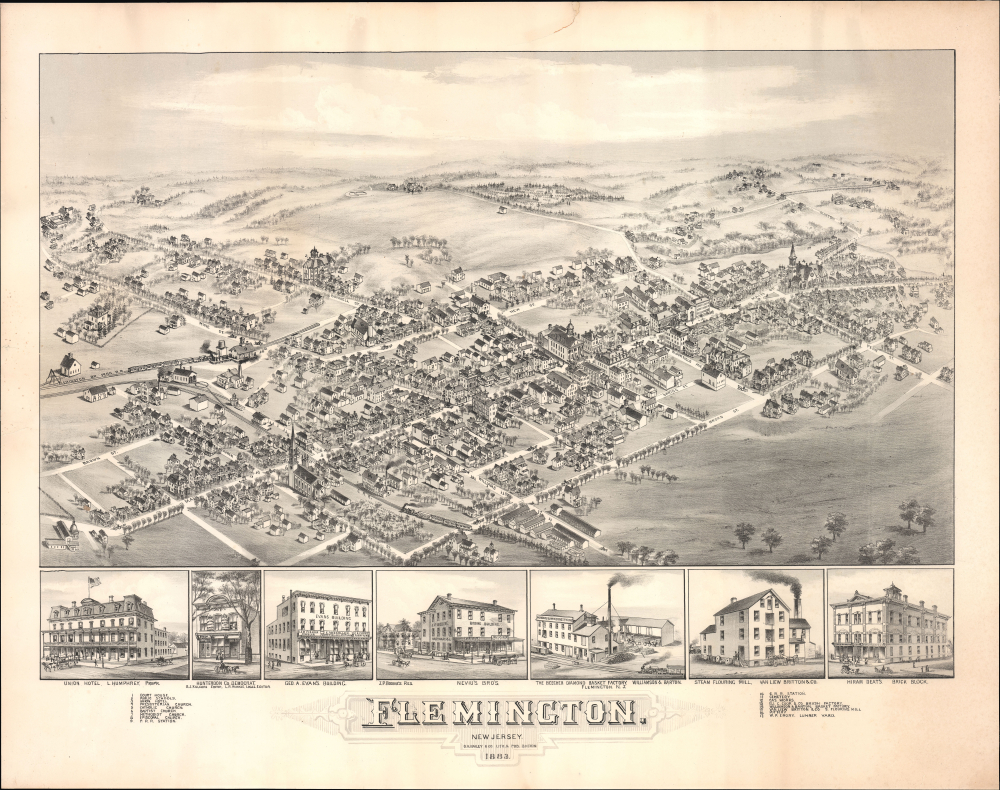
Flemington. New Jersey.
$1,200.00
Acquire
- Digital Map Information
- Suitable for large format printing
- Full resolution TIFF file
- ICC color profile embedded
- Delivered instantly via download link
This is an 1883 O. H. Bailey bird's-eye view of Flemington, New Jersey. It was produced as the town was undergoing a post-Civil War boom, driven largely by greater integration with regional rail networks. Today, Flemington is admired for the many Victorian and Federal-era buildings lining its downtown streets, many of which are illustrated here. (more details)
Touring Moscow at the Height of the Cold War.
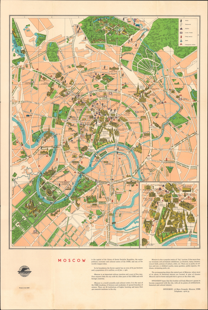
Moscow.
$750.00
Acquire
This is a c. 1962 pictorial tourist map of Moscow, the capital of the Soviet Union and center of international Communism. It was issued while the city was undergoing a widespread modernization effort and at the height of the Cold War, when the U.S. and U.S.S.R. nearly fought a nuclear war due to the Cuban Missile Crisis. (more details)
Among the earliest detailed maps of the coast of Sub-Saharan Africa.
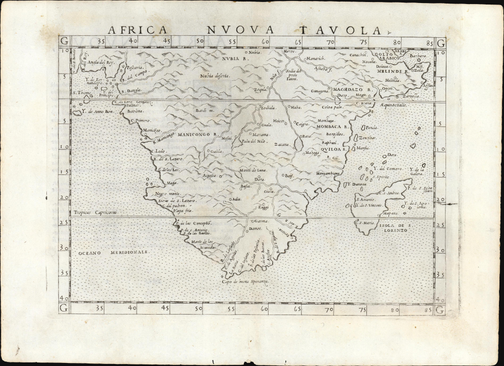
Africa Nuova Tavola.
$500.00
Acquire
- Digital Map Information
- Suitable for large format printing
- Full resolution TIFF file
- ICC color profile embedded
- Delivered instantly via download link
This is Girolamo Ruscelli's 1561 map of southern Africa, an enlarged and improved version of the 1548 map of fellow Venetian Giacomo Gastaldi. It is among the earliest detailed maps of the coast of Sub-Saharan Africa; while Münster's 1540 map presented an image of the whole continent, it lacked significant coastal detail. This map, like its Gastaldi model, is among the earliest obtainable maps to include details of both the African coastline and its river systems. (more details)
Roman Empire, Torn Apart.
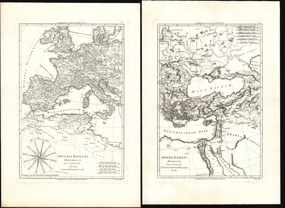
Imperii Romani Distracta Pars Occidentalis / Imperii Romani Distracta Pars Orientalis.
$500.00
Acquire
- Digital Map Information
- Suitable for large format printing
- Full resolution TIFF file
- ICC color profile embedded
- Delivered instantly via download link
This attractive map set comprises Rigobert Bonne's 1787 depiction of the dissolved Roman Empire in the early Middle Ages, reflecting the period of fragmentation sometimes referred to as the Dark Ages. These were among the historical maps included in Bonne and Nicolas Desmarest's Atlas Encyclopédique. They provided a reference to European history, presenting classical and post-classical placenames in a modern geographical framework. The maps are skillfully and elegantly engraved. (more details)
Navigating New Haven's Tricky Harbor.
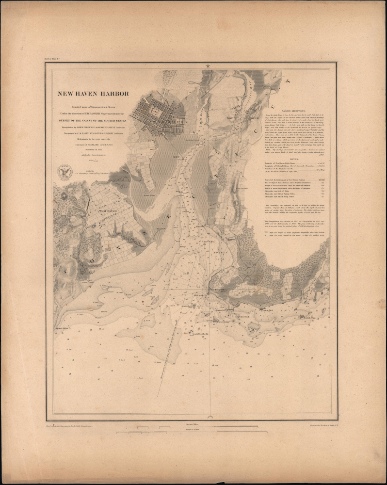
New Haven Harbor.
$500.00
Acquire
- Digital Map Information
- Suitable for large format printing
- Full resolution TIFF file
- ICC color profile embedded
- Delivered instantly via download link
This is a rare, separately issued example of the 1846 U.S. Coast Survey nautical chart or map of the harbor of New Haven, Connecticut, printed on thicker paper than the charts appearing in the Coast Survey's Annual Report. (more details)
Cidade Maravilhosa.
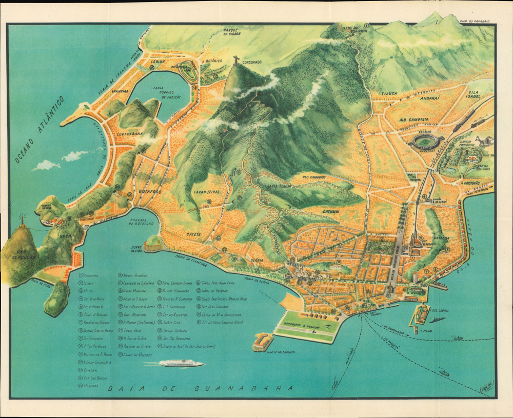
[Rio de Janeiro] / Guia turístico do Rio de Janeiro e seus arredores.
$450.00
Acquire
This is a c. 1957 pictorial bird's-eye view of Rio de Janeiro, Brazil, drawn by illustrator Oswaldo Storni. It appeared in the publication Guia turístico do Rio de Janeiro e seus arredores, which accompanies it. The view was issued during Rio's golden age of fast-paced development and population growth. (more details)
Eyeing Manchuria from Japan.

滿洲の鳥瞰 / [Bird's-Eye View of Manchuria].
$350.00
Acquire
- Digital Map Information
- Suitable for large format printing
- Full resolution TIFF file
- ICC color profile embedded
- Delivered instantly via download link
This is a c. 1927 bird's-eye view of Manchuria and environs prepared by the South Manchuria Railway Company (abbreviated as Mantetsu). At the time, Mantetsu was in control of a vast but informal colonial enterprise in Manchuria which anticipated Japan's full-scale invasion and occupation in 1931. (more details)
Largest and Most Detailed Early-19th Century Map of China.
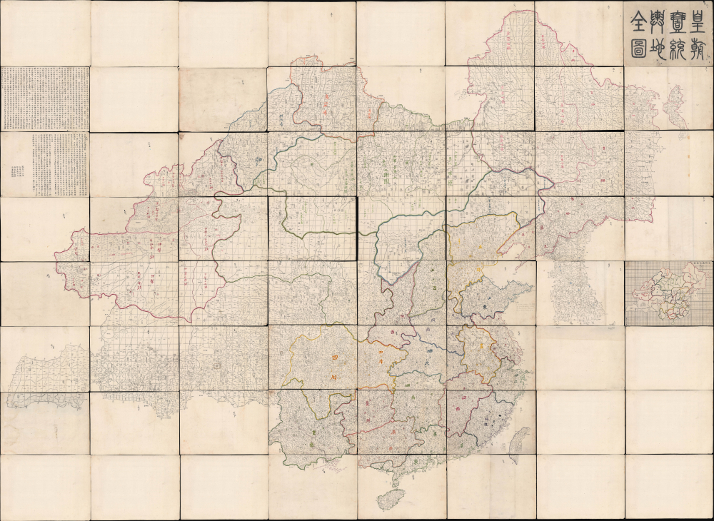
皇朝壹統輿地全圖 / [Complete Map of the Unified Territory of the Empire].
$65,000.00
Acquire
This is a massive (98 x 134 in) 64-sheet 1832 wall map of Qing China, prepared by Dong Fangli and Li Zhaoluo. Building on administrative maps of the early-mid Qing, it represented the most detailed and accurate mapping of China and surrounding territories under Qing suzerainty produced in the early 19th century. (more details)
Most important chronicle and map of early Singapore.
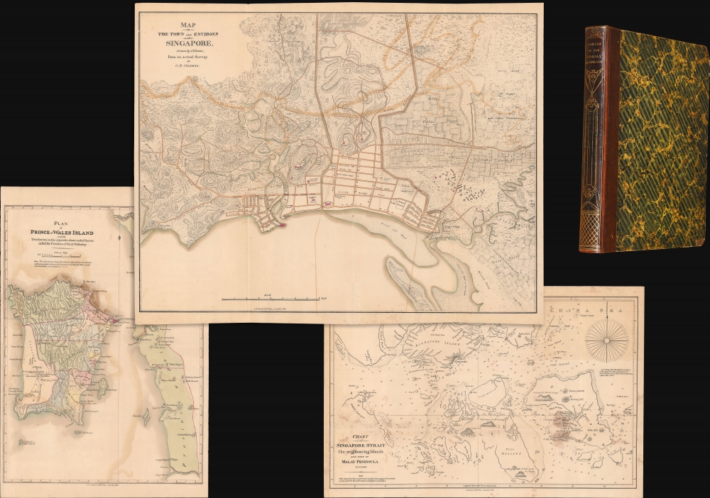
Notices of the Indian Archipelago, and adjacent countries; being a collection of papers relating to Borneo, Celebes, Bali, Java, Sumatra, Nias, the Philippine Islands, Sulu, Siam, Cochin China, Malayan Peninsula, etc.
$32,000.00
Acquire
- Digital Map Information
- Suitable for large format printing
- Full resolution TIFF file
- ICC color profile embedded
- Delivered instantly via download link
A rare example of John Henry Moor's 1837 Notices of the Indian Archipelago, containing within the most important early map of Singapore, as well as otherwise lost reprints of important articles from the Singapore Chronicle, and additional maps of Penang, Singapore Strait, the East Indian Archipelago, Malacca, and Borneo. Moor's work is considered one of the most significant records of early Singapore and one of the first books published in Singapore. (more details)
First Official Map of Massachusetts.
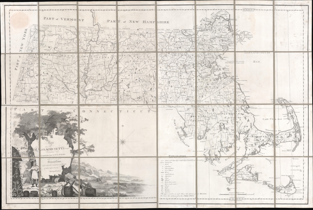
Map of Massachusetts Proper Compiled form Actual Surveys made by Order of the General Court, and under the inspection of Agents of their appointment, by Osgood Carleton.
$7,800.00
Acquire
- Digital Map Information
- Suitable for large format printing
- Full resolution TIFF file
- ICC color profile embedded
- Delivered instantly via download link
Known as 'The Agent's Map', this is a fine example of the first official map of Massachusetts, published in 1801 by Osgood Carleton. The map emerged out of a long and complex struggle to produce a large-scale, accurate, and comprehensive state map - something increasingly important in the heady early days of independence following the American Revolutionary War (1775 - 1783). (more details)
Cold War Era Soviet Plan to Repel an American Arctic Invasion.
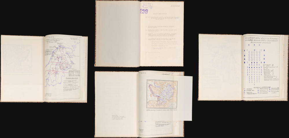
Организация и ведение противодесантной операции на морском побережье во взаимодействии с военно-морским флотом / [Organization and Conduct of an Anti-Amphibious Operation on the Seacoast in Coordination with the Navy].
$7,500.00
Acquire
This is a one-of-a-kind 1952 Cold War Era top-secret report with maps, prepared for the Operations Directorate of the Northern Military District of the Armed Forces of the Soviet Union. The booklet discusses detailed plans to repel a much-feared 'Anglo-American imperialist' invasion of the Soviet Union from the Arctic. It offers unique insight into the Soviet perspective and defensive planning at the height of the Cold War (1947 - 1991). (more details)
Earliest Acquirable Map showing the True Source of the Blue Nile.
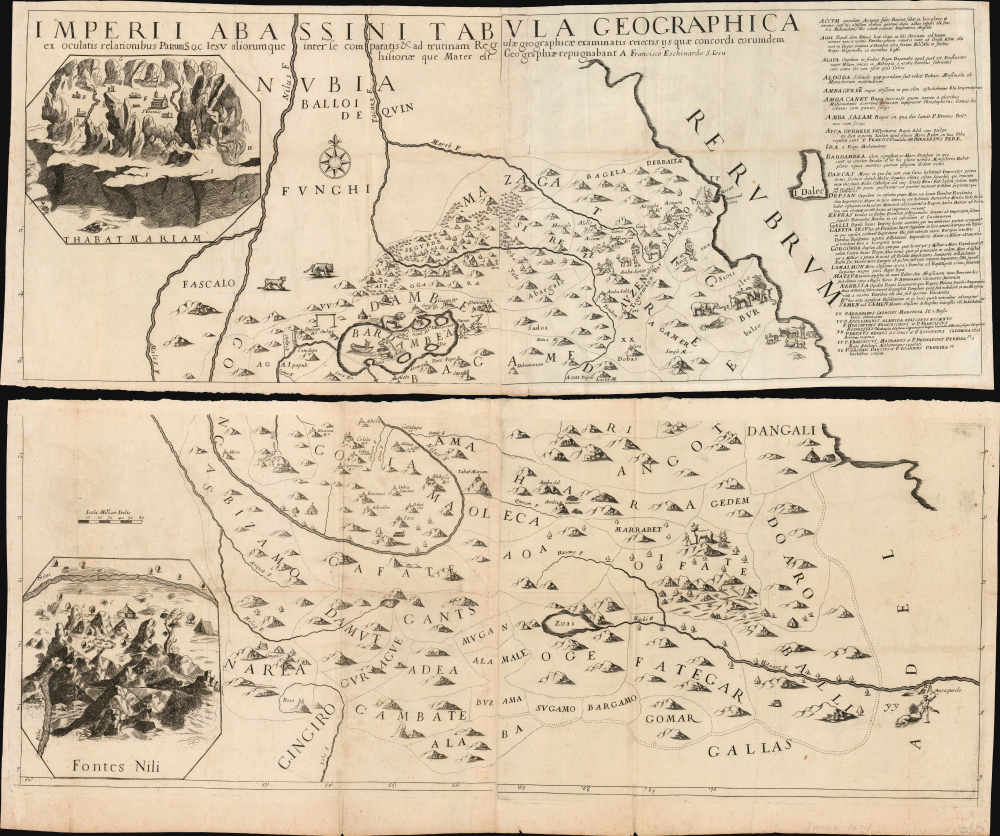
Imperii Abassini tabula geographica ex sculatis relationibus patrum soc. Jesu aliorumque inter se comparatis and ad trutinam regulae geographicae examinatis rejectis iis quae concordi eorumdem historiae que mater est geographiae repugnabant
$5,000.00
Acquire
- Digital Map Information
- Suitable for large format printing
- Full resolution TIFF file
- ICC color profile embedded
- Delivered instantly via download link
This is Francesco Eschinardi's rare 1674 map of Abyssinia (Ethiopia) in Eastern Africa. It is the first detailed map focusing on the headwaters of the Blue Nile, informing regional cartography for a century. It is also the largest map to focus on this region for at least a century, being printed to four separate sheets, joined in upper and lower pairs. Its geographic detail is supplemented with pictorial mountains, depictions of the region's notable animals, settlements, ruins, and scenes of the martyrdom of Jesuit missionaries at the hands of both Abyssinian Christian 'heretics' and their Ottoman overlords. The map includes two inset views: one of the church complex of the Tadbaba Maryam and a bird's-eye view of the source of the Nile. (more details)
French colonial interest in the Philippines. Also, rectification of charts.
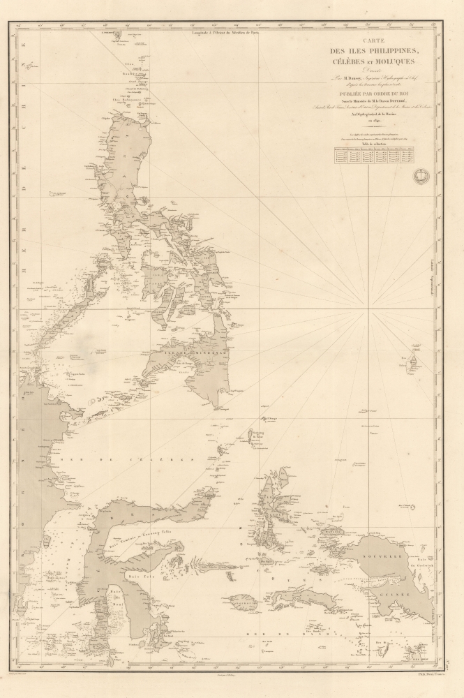
Carte des Iles Philippines, Célèbes et Moluques.
$4,500.00
Acquire
- Digital Map Information
- Suitable for large format printing
- Full resolution TIFF file
- ICC color profile embedded
- Delivered instantly via download link
A spectacular 1840 / 1852 map of the Philippines by Pierre Daussy and the French Dépot-général de la Marine. This map is significant as it reflects growing French interest in the Far East and coincides with the first French attempt to seize the Philippine island of Basilan as a base to counterbalance British power in Hong Kong. It is also part of the French Bureau des Longitudes' ongoing effort to revise its Table des Positions Géographiques des Principaux Lieux du Globe to conform to the most up-to-date measurements made possible by advances in hydrography, including widespread early 19th century adoption in the marine chronometer. Daussy published dozens of new charts, including this one, to reflect the significant corrections. (more details)
Planning Operation Hailstone - the World War II U.S. Navy attack on Truk Atoll.
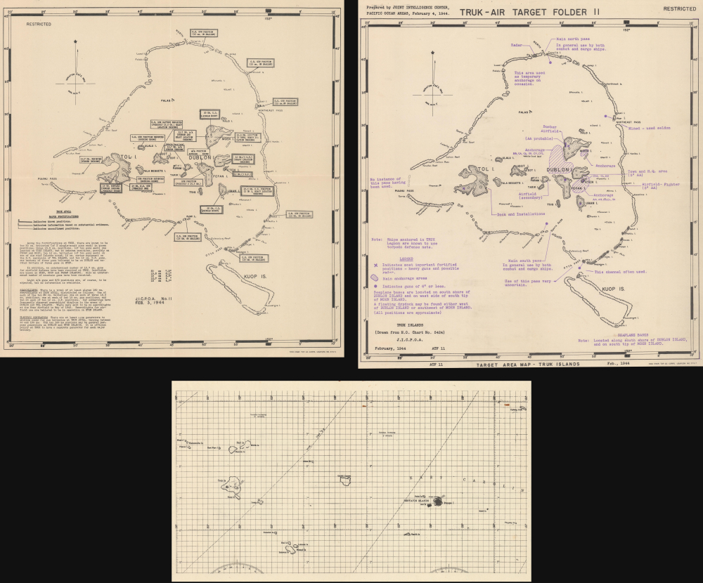
Truk Atoll. Major Fortifications. / Truk - Air Target Folder II. Truk Islands. Target Area Map - Truk Islands. / [Untitled Aviation Chart of the East Caroline Islands.]
$3,500.00
Acquire
- Digital Map Information
- Suitable for large format printing
- Full resolution TIFF file
- ICC color profile embedded
- Delivered instantly via download link
This important archive, compiled days after the World War II Battle of Kwajalein and weeks before Operation Hailstone, includes three 1944 U.S Navy maps of Truk Atoll (Chuuk Lagoon, Micronesia): two 1944 Joint Intelligence Center Pacific Ocean Areas (JICPOA) maps of Truk Atoll, and an aviation chart of the same. The map archive offers unique insights into the U.S. Navy's preparations to assault one of Japan's most formidable bases in the South Pacific. Truk Atoll was Imperial Japan's main naval base in the South Pacific, considered the 'Gibraltar of the Pacific'. (more details)