
NEW ACQUISITIONS
The 'Crown of the Continent'.
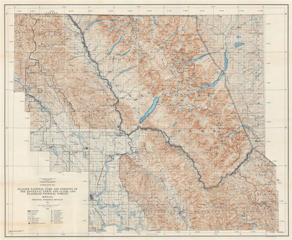
Cooperative Map of Glacier National Park and Portions of the Kootenai, Lewis and Clark, and Flathead National Forests.
$400.00
Acquire
- Digital Map Information
- Suitable for large format printing
- File Size: 100.55 MB
- File Type: ZIP / TIFF
- ICC color profile embedded
- Delivered instantly via download link
This is a 1935 U.S. Forest Service and National Park Service wall map of Glacier National Park and its immediate surroundings. Glaciers, mountain peaks, waterfalls, and other landmarks are identified throughout Glacier National Park and the surrounding forests. Campgrounds are marked by small tent icons and labeled. Contour lines present the park's impressive topography and mountain lakes and rivers are illustrated. (more details)
Postal infrastructure as a reflection of China's modernization.
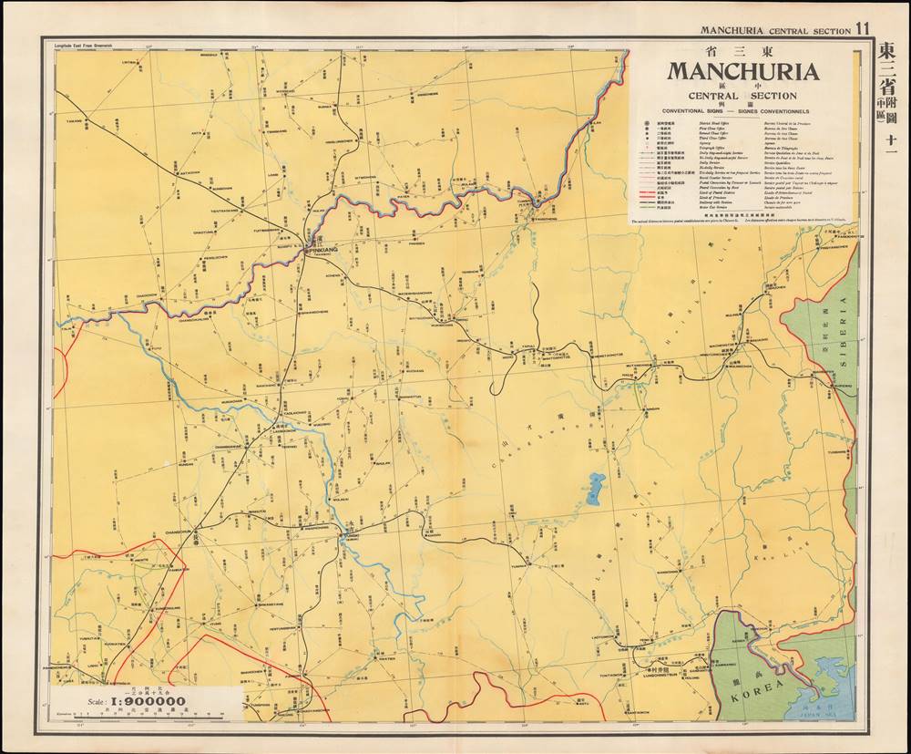
東三省 中區 / Manchuria Central Section.
$400.00
Acquire
- Digital Map Information
- Suitable for large format printing
- Full resolution TIFF file
- ICC color profile embedded
- Delivered instantly via download link
This is a map of central Manchuria (portions of Heilongjiang and Jilin Provinces) from the 1933 edition of The Postal Atlas of China (中華郵政輿圖), compiled by Charles Jacot-Guillarmod. It highlights the evolving postal infrastructure of the region, which had been contested between China, Japan, and Russia for decades and had become a de facto Japanese colony with the establishment of the puppet state of Manchukuo the previous year. (more details)
Olympic National Park.
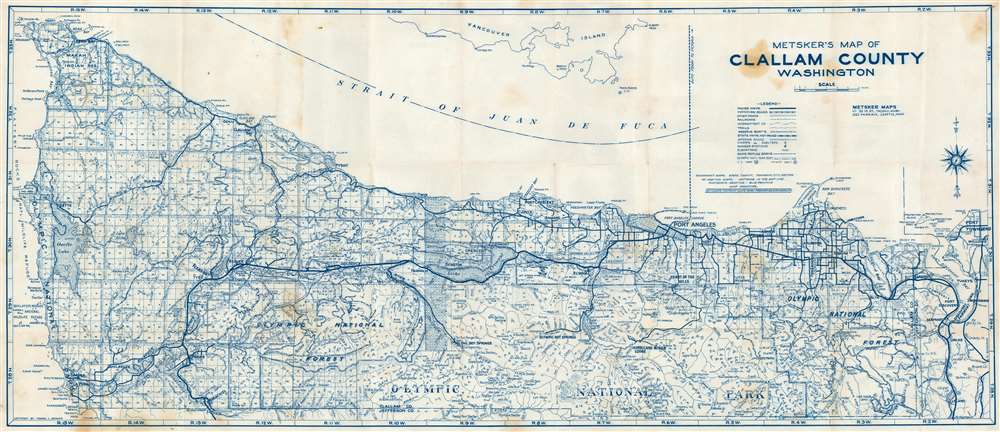
Metsker's Map of Clallam County Washington.
$250.00
Acquire
This is a c. 1970 Thomas C. Metsker map of Clallam County, Washington. Printed in a stunning blue ink, both Olympic National Park and Olympic National Forest are illustrated. Mountain peaks, lakes, rivers, creeks, and other physical features are identified within both the park and the forest. Sol Duc Hot Springs, Olympic Hot Springs, and Hurricane Ridge Lodge are labeled in Olympic National Park as well. Outside the park, towns and villages throughout the county are noted, including Port Angeles, Sequim, and Port Townsend in neighboring Jefferson County. Paved highways, improved roads, unpaved state highways, and railroads are marked. (more details)
Celebrating marine exploration!
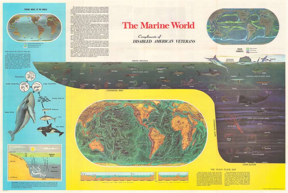
The Marine World. / Man in the Sea.
$250.00
Acquire
This is a c. 1968 Hammond infographic chart and map celebrating marine exploration. The piece is dominated by a profile cross-section of the sea. It illustrates marine life at various depths, including fish, a shark, a whale, and a giant squid. Dashed lines delineate 'zones', with each falling within the neritic or the oceanic province. Three world maps and other ocean related diagrams occupy the rest of the sheet. The largest is a map submarine topography, likely drawn from the research of Marie Tharp. Below, profile views of the floor of the Pacific Ocean and Atlantic Ocean are included. The second map, in the upper right, details currents. The third and final map, in the upper left, highlights commercial fishing areas, other general fisheries, and whaling areas. Diagrams along the left present information about oceanic life cycles and part of the oceanic food chain. (more details)
An important and often overlooked 1744 map of French, English and Spanish claims in North America.
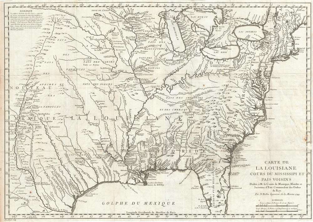
Carte de La Louisiane Cours du Mississipi et Pais Voisins.
$1,500.00
Acquire
- Digital Map Information
- Suitable for large format printing
- DPI: 300
- File Size: 9.76 MB
- File Type: ZIP / TIFF
- ICC color profile embedded
- Delivered instantly via download link
An important and influential 1744 map of the settled portions of North America by the French cartographer Jacques-Nicholas Bellin. Centered on the Mississippi Valley, Bellin's map covers from the Riviere de Nord (Rio Grande) eastward to the Atlantic seaboard and from Lake Huron to the Gulf of Mexico and south Florida. (more details)
European military uniforms and more.
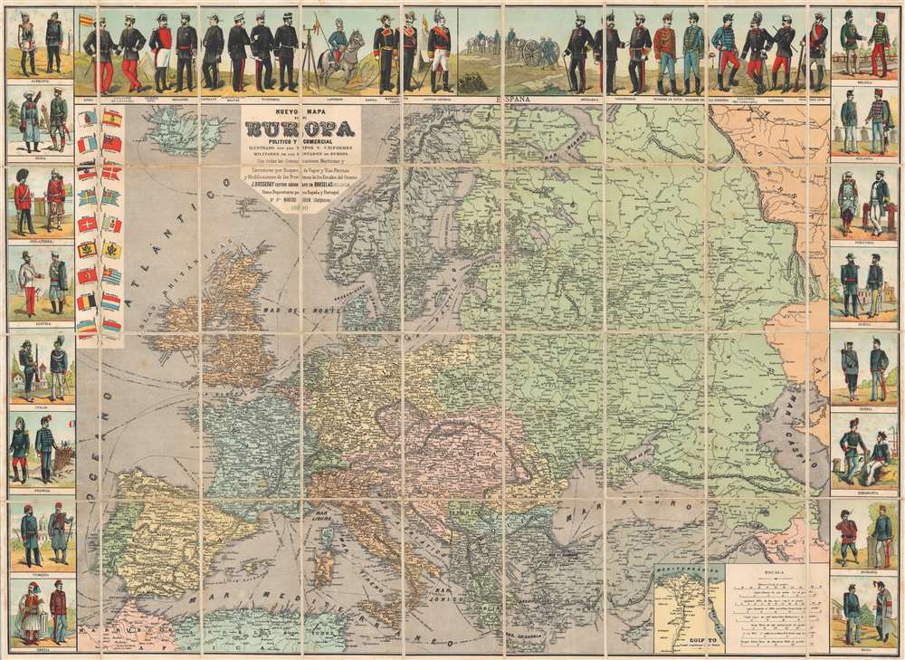
Nuevo Mapa de Europa Politico y Comercial Ilustrado con los Tipos y Uniformes Militares de los Estados de Europa.
$1,000.00
Acquire
- Digital Map Information
- Suitable for large format printing
- Full resolution TIFF file
- ICC color profile embedded
- Delivered instantly via download link
This is an 1890 Jean Dosseray wall map of Europe. A political map of Europe occupies most of the sheet, with countries, cities, towns, rivers, and more all identified. Europe's rail is highlighted, underscoring its ever-growing importance. Eighteen European flags with population statistics appear in an inset at the upper left. An inset in the lower right focuses on the Suez Canal and the Nile Delta in Egypt, underscoring the canal's strategic importance to European powers. (more details)
An extremely rare map illustrating early gerrymandering in New Hampshire.
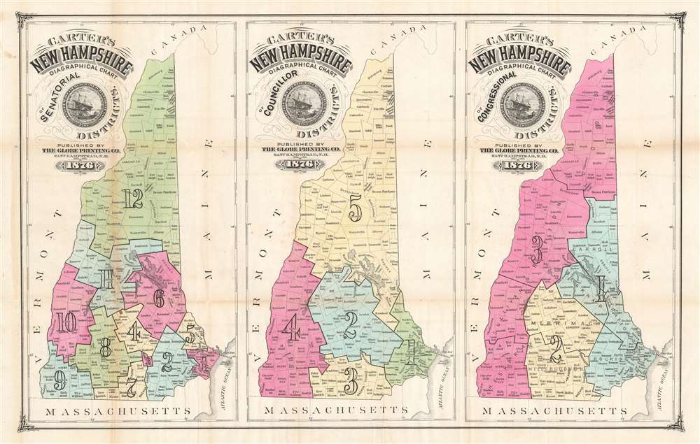
Carter's New Hampshire Diagraphical Chart of Senatorial Districts. / Carter's New Hampshire Diagraphical Chart of Councillor Districts. / Carter's New Hampshire Diagraphical Chart of Congressional Districts.
$750.00
Acquire
- Digital Map Information
- Suitable for large format printing
- File Size: 24.88 MB
- File Type: ZIP / TIFF
- ICC color profile embedded
- Delivered instantly via download link
This is an 1876 Hosea B. Carter map of election districts in New Hampshire exhibiting early gerrymandering. A series of three maps published on a single sheet, each map depicts the state with a different set of electoral districts. A map delineating Senatorial Districts is situated on the left, with the twelve districts shaded to allow for easy differentiation. All the counties in New Hampshire are illustrated and labeled, allowing the viewer to know exactly which district their county corresponded with. The five Councillor Districts are laid out in the central map. The map on the right illustrates the three Congressional Districts. (more details)
One of the founding institutions of modern American medicine.
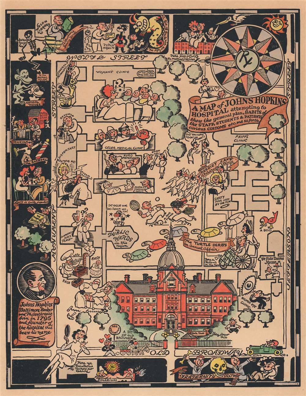
A Map of Johns Hopkins Hospital attempting to show the general plan, HABITS of the STAFF, STUDENTS, and PATIENTS, curious CUSTOMS etc. and so forth.
$750.00
Acquire
- Digital Map Information
- Suitable for large format printing
- File Size: 8.66 MB
- File Type: ZIP / TIFF
- ICC color profile embedded
- Delivered instantly via download link
This is a 1935 Richard Q. Yardley pictorial map of Johns Hopkins Hospital in Baltimore, Maryland. A fantastic illustration of the original Administration Building occupies the lower portion of the map and immediately draws the eye. From there, the hospital's various wards, clinics, and buildings are illustrated. Many of the illustrations are comical in nature. A researcher standing atop a large microscope is mocked by a germ in the General Pathology Department, while a researcher stares at question marks under a microscope in the research lab. Three nurses are shocked by a patient's temperature in the Osler Medical Clinic and a 'patient on the mend' watches the annual Turtle Derby. (The Turtle Derby was still an annual event as of 2015. It began in 1931 as a way to entertain the children at the Children's Clinic.) A surgeon to the right of the Administration Building attempts to operate on a shocked patient with a large knife. A pictorial border surrounds the hospital's campus on three sides and identifies local hangouts, shops, and other buildings related to the university, including Welch Library and Fraternity Row. 'A studious young gentleman' sits atop a pile of books near Welch Library, while a young couple awaiting a baby brought by a stork marks housing for married interns. (more details)
'When you want a pointer…'
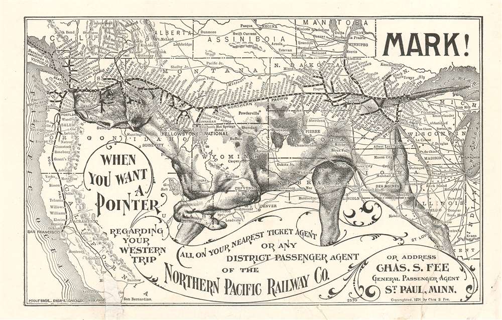
Mark! When you want a Pointer regarding your western trip…
$650.00
Acquire
- Digital Map Information
- Suitable for large format printing
- File Size: 3.6 MB
- File Type: ZIP / TIFF
- ICC color profile embedded
- Delivered instantly via download link
An utterly charming 1896 lithograph pictorial map issued to promote travel to the Pacific Northwest via the Northern Pacific Railway. This map was issued in 1896 by Charles S. Fee, general passenger agent for the Northern Pacific Railway. It covers the western part of the United States roughly from the Great Lakes to the Pacific. Superimposed upon the map is the image of an English Pointer dog in classic 'pointer' pose. The dog's head, spine, and tail illustrate the course of the Northern Pacific Railway from Duluth, Minnesota to Olympia, Washington. Promotional copy overlaying the map reads,
Mark! When you want a Pointer regarding your western trip call on your nearest ticket agent or district passenger agent on the Northern Pacific Railway Co. or address Chas. S. Fee General Passenger Agent St. Paul, Minn.A list of passenger agents is printed on the verso. (more details)
Summer arts and theater!
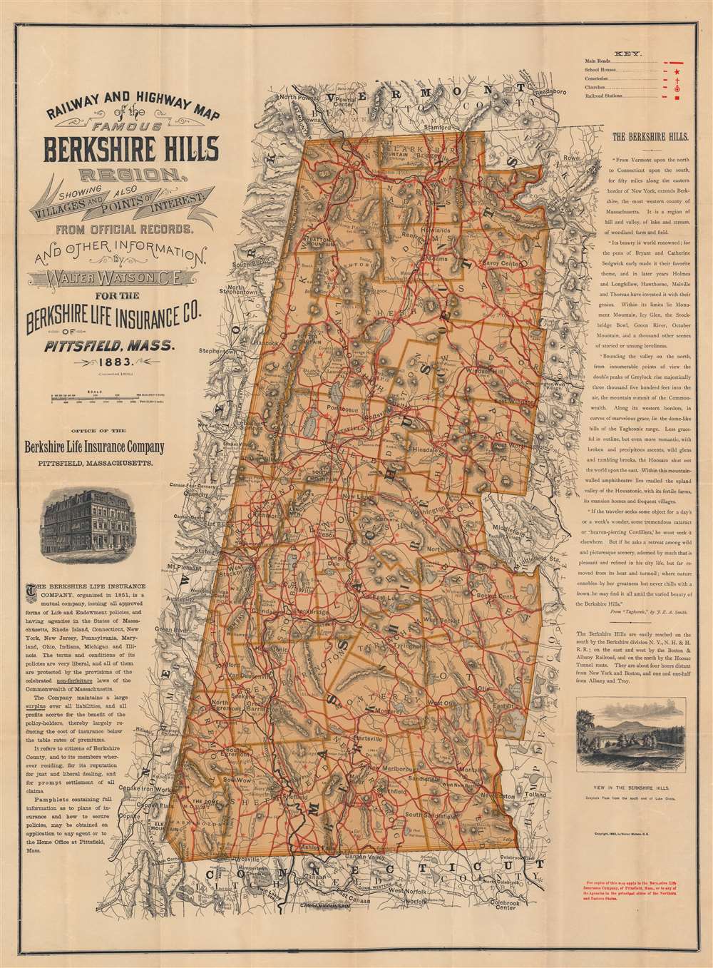
Railway and Highway Map of the Famous Berkshire Hills Region, Showing Villages and also Points of Interest.
$500.00
Acquire
- Digital Map Information
- Suitable for large format printing
- File Size: 43.04 MB
- File Type: ZIP / TIFF
- ICC color profile embedded
- Delivered instantly via download link
This is the 1896 Walter Watson map of the Berkshires or the Berkshire Hills, Massachusetts. Today the Berkshires are famous for their rich arts communities, summer performing arts programs, and stunning nature. Hills and mountains are identified throughout, with individual heights noted, and elevation rendered by hachure. A key in the upper right notes main roads, schoolhouses, cemeteries, churches, and railroad stations. The location of Shays' Fight, the armed uprising of 1787 near South Egremont, is noted as well. (more details)
A gorgeous 17th century map of an important artery in the fur trade.
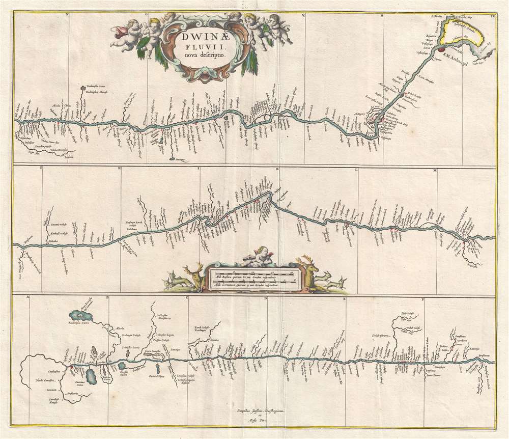
Dwinae Fluvii nova descriptio.
$450.00
Acquire
- Digital Map Information
- Suitable for large format printing
- DPI: 300
- File Size: 7.74 MB
- File Type: ZIP / TIFF
- ICC color profile embedded
- Delivered instantly via download link
This is a 1680 Jan Jansson map of the Northern Dvina River in northern Russia. The map, divided into three sections, follows the course of the river from its source in Vologod Province as it empties into Dvina Bay of the White Sea near Archangel (Arkhangelsk). Several smaller tributaries and towns are identified along the river's banks. (more details)
Postal infrastructure as a reflection of China's modernization.
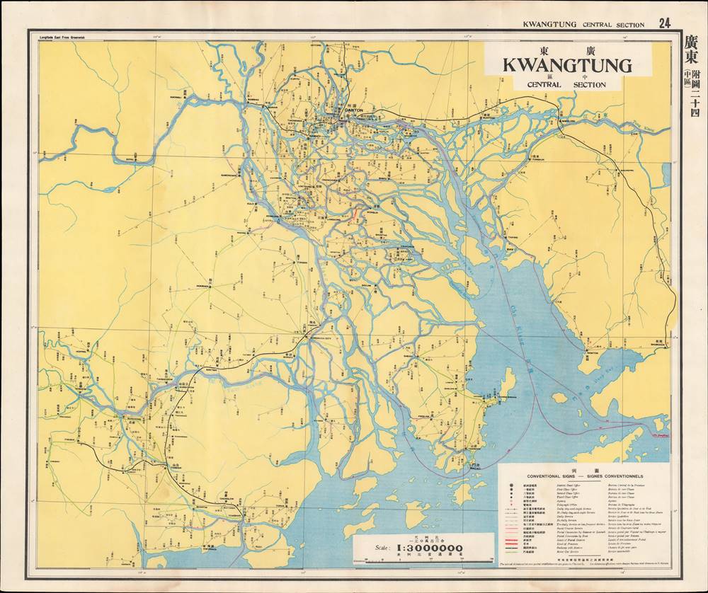
廣東 - 中區 / Kwangtung - Central Section.
$450.00
Acquire
- Digital Map Information
- Suitable for large format printing
- File Size: 24.55 MB
- File Type: ZIP / TIFF
- ICC color profile embedded
- Delivered instantly via download link
This is a map of central Guangdong (Kwangtung) Province from the 1933 edition of The Postal Atlas of China (中華郵政輿圖), compiled by Charles Jacot-Guillarmod. It depicts the evolving postal infrastructure, reflecting a broader modernization drive by the Nanjing government. (more details)
Postal infrastructure as a reflection of China's modernization.
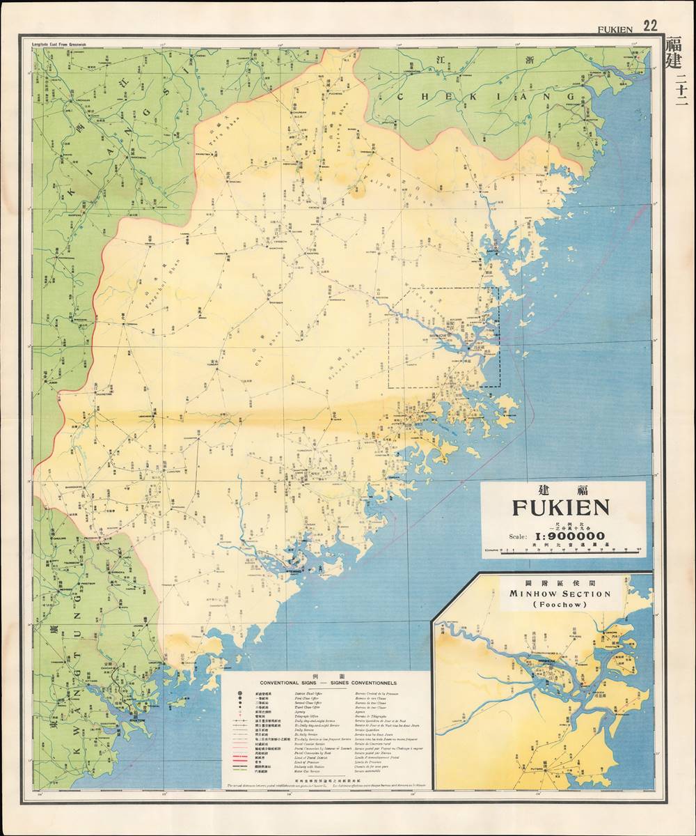
福建 / Fukien.
$350.00
Acquire
- Digital Map Information
- Suitable for large format printing
- File Size: 32.01 MB
- File Type: ZIP / TIFF
- ICC color profile embedded
- Delivered instantly via download link
This is a map of Fujian (Fukien) Province from the 1933 edition of The Postal Atlas of China (中華郵政輿圖), compiled by Charles Jacot-Guillarmod. It illustrates the evolving postal infrastructure of the region, reflecting a broader modernization drive by the Nanjing government. (more details)
Identifies important locations in the life and work of John Steinbeck.
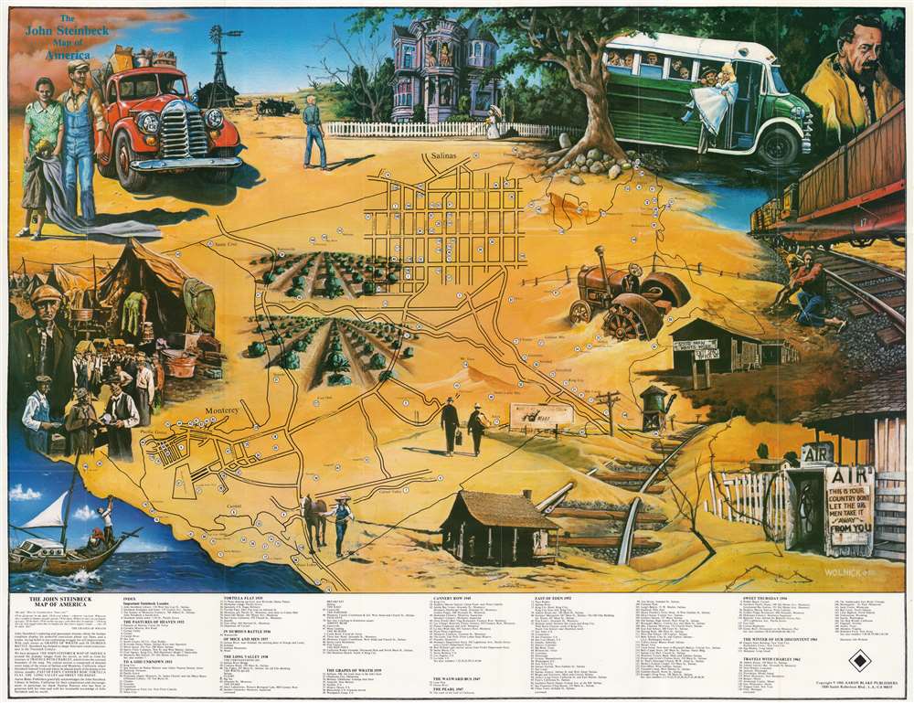
The John Steinbeck Map of America.
$250.00
Acquire
This is a 1986 John Wolnick map of the United States with reference to John Steinbeck's novels. The map of the United States is overshadowed by the large inset maps of Monterey and Salinas. 150 locations are numerically identified and correspond with an index along the bottom border. Circles mark places that were important to John Steinbeck as well as significant events in his works. East of Eden dominates the index, with over fifty locations named. (more details)
A wonderful tourist map of Florida.
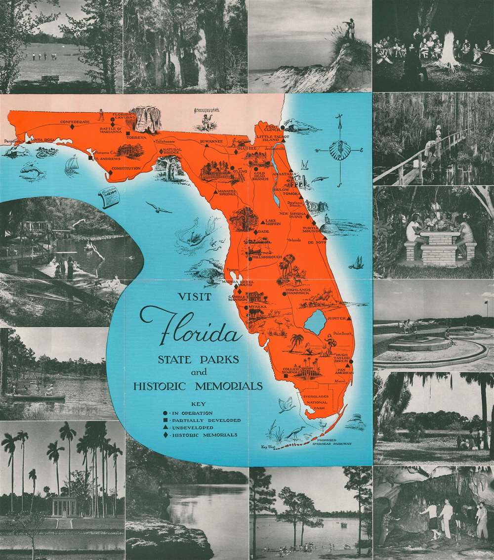
Visit Florida State Parks and Historic Memorials. Florida's State Parks Invite You.
$200.00
Acquire
This is a c. 1960 pictorial tourist map of Florida. Ringed by photographs of Florida attractions and activities, the map depicts the state from Alabama to the Atlantic Ocean and from Georgia and Alabama to Key West. Pictorial vignettes highlight state parks and historic memorials throughout the state, including the Florida Caverns, Manatee Springs, Turtle Mound, and Collier Seminole. A legend to the left of Key West notes that four different symbols are used when marking sites around the state: circles mark parks that are in operation, squares mark partially developed parks, and triangles note undeveloped parks. Diamonds denote historic landmarks. (more details)
Scarce large format map of Dalian, China.
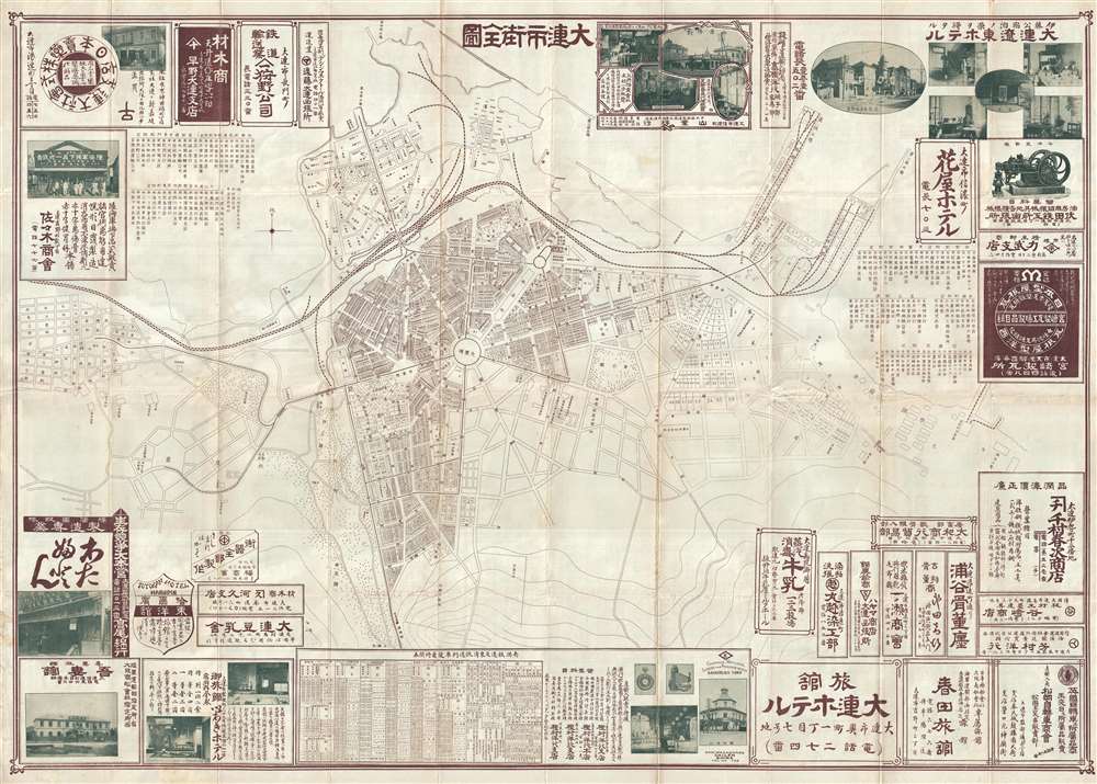
大連市街全図 / Full Street Map of Dalien / Dairenshigai Zenzu.
$900.00
Acquire
- Digital Map Information
- Suitable for large format printing
- File Size: 29.35 MB
- File Type: ZIP / TIFF
- ICC color profile embedded
- Delivered instantly via download link
This is an uncommon and highly detailed c. 1910 Japanese tourist map of Dalian (大连市, Port Arthur, Darian), Liaoning, China. Centered on Zhongshan Square, this map offers a detailed picture of Dalian before the city's explosive post World War II development. ... (more details)
Bellicose Depiction of the Turkish Empire.
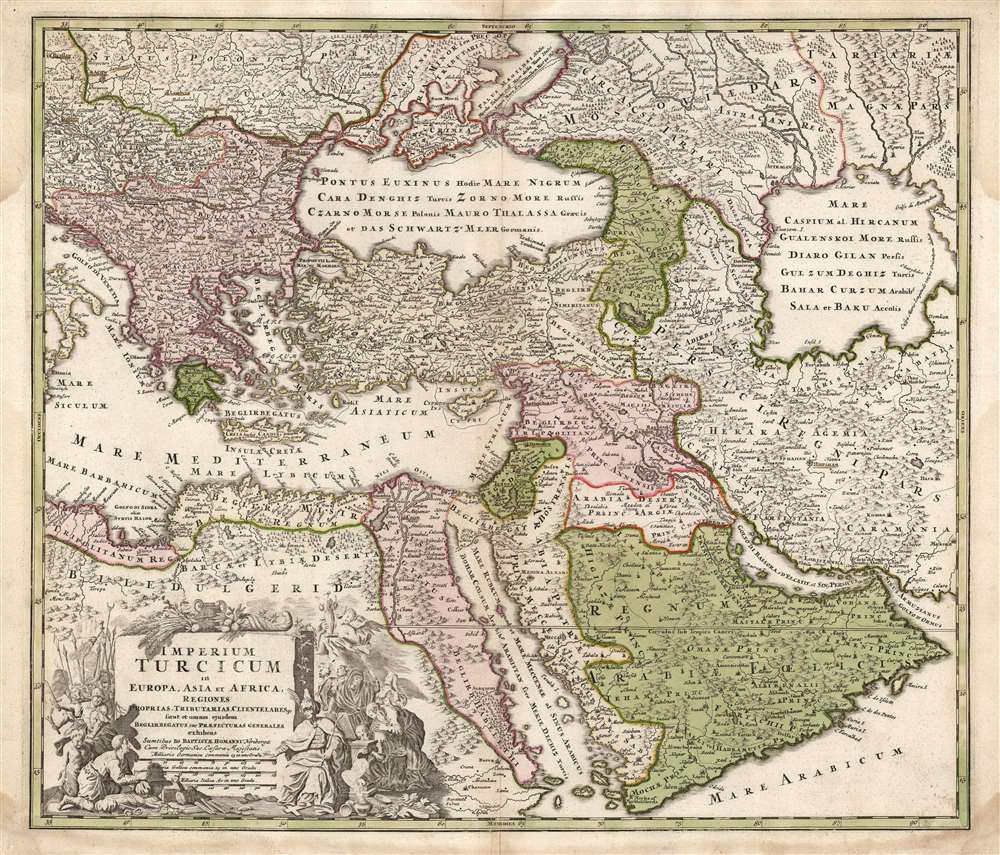
Imperium Turcicum in Europa, Asia et Africa, Regiones Proprias, Tributarias, Clientelares et Sicut et Omnes Praefecturas Generales exhibens.
$850.00
Acquire
- Digital Map Information
- Suitable for large format printing
- Full resolution TIFF file
- ICC color profile embedded
- Delivered instantly via download link
This is a handsome example of the J. B. Homann 1725 map of the Turkish Empire in Europe, Asia and Africa. It shows the extent of the Ottoman Empire encompassing \the Arabian Peninsula, as well as the coastal parts of the empire in North Africa and Egypt. The border with the Persia is shown in the east, along with a considerable part of what is today Iran and Central Asia. The empire's contentious border in Europe, abutting Hungary, Transylvania, and Poland, is also shown. The area north of the Black Sea shows both Tatar territories and those of Muscovy on the Turkish frontier. (more details)
The Crimean War.
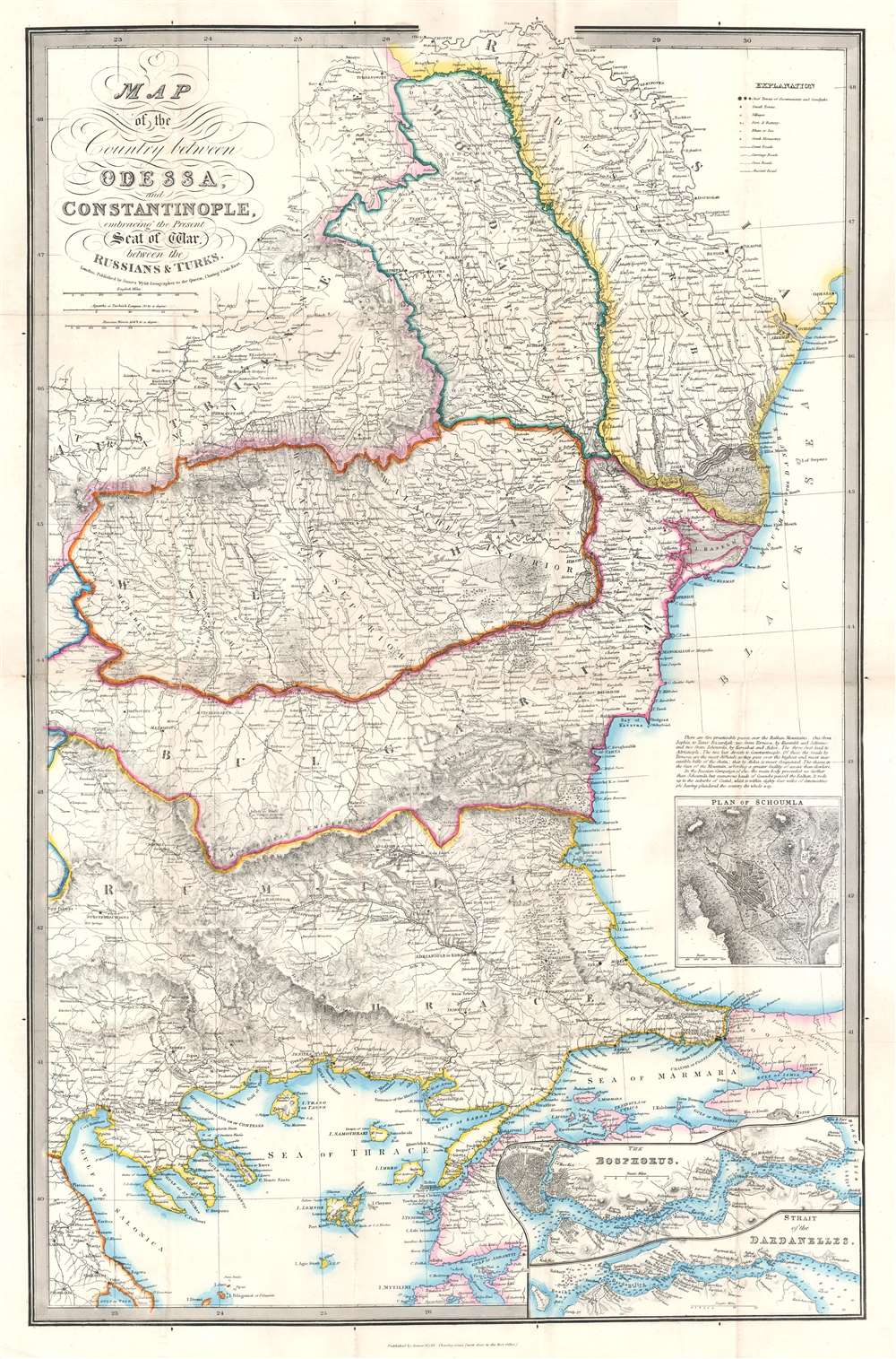
Map of the Country between Odessa and Constantinople, embracing the Present Seat of War between the Russians and Turks.
$850.00
Acquire
- Digital Map Information
- Suitable for large format printing
- File Size: 32.15 MB
- File Type: ZIP / TIFF
- ICC color profile embedded
- Delivered instantly via download link
This is an 1854 James Wyld map of the eastern Balkans and the Black Sea coast during the Crimean War. The map depicts the region from Salonica to Odessa, and from the Dnister (Dniester) River to the island of Lesbos (I. Mytilini) in the Aegean Sea. Published in the middle of the conflict, Wyld presents the theater of war, highlighting the two regions first occupied by the Russian Empire (Wallachia and Moldavia) and allowing his viewers a better understanding of the news they were receiving from their armies in the Balkans. (more details)
Beautifully engraved map of Wales.
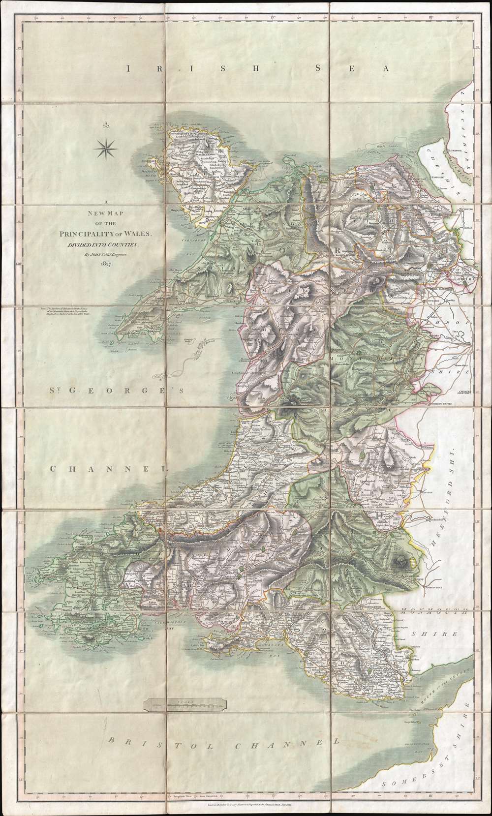
A New Map of the Principality of Wales. Divided into Counties.
$550.00
Acquire
- Digital Map Information
- Suitable for large format printing
- DPI: 300
- File Size: 26.24 MB
- File Type: ZIP / TIFF
- ICC color profile embedded
- Delivered instantly via download link
This is an 1827 John Cary map of Wales. The map depicts the country from St. George's Channel to Herefordshire, Shropshire, and Monmouthshire in England and from the Irish Sea to Bristol Channel and Somersetshire. Beautifully engraved, Cary effortlessly blends physical geography with political and man-made geography, noting counties, cities, towns, and villages throughout Wales, including Cardiff, Swansea, and Wrexham. Roads snake their way across the country, easily intertwining England and Wales. Mountains, woods, and lakes are also noted. (more details)
Map used by American politician Samuel Atkins Eliot on his 1821 'Grand Tour' of Europe.
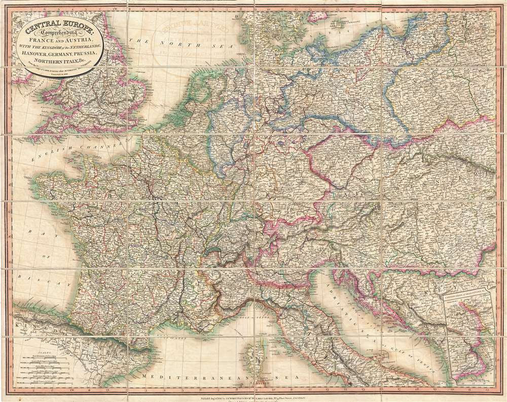
Central Europe: Comprehending France and Austria, with the Kingdom of the Netherlands, Hanover, Germany, Prussia, Northern Italy, and c.
$500.00
Acquire
- Digital Map Information
- Suitable for large format printing
- DPI: 300
- File Size: 31.35 MB
- File Type: ZIP / TIFF
- ICC color profile embedded
- Delivered instantly via download link
A fine example of Laurie and Whittle's 1818 map of central Europe, focusing mainly on France, the Netherland, Belgium, Austria, Hungary, an inset of Transylvania, Prussia, Switzerland, and Germany. Partially included are England, Spain, Italy, Turkey, the Balkans, Poland, and Denmark. All major towns and roads are identified as well as limited topographical features, with elevation rendered in hachure. The cartographers credit the work of French map publisher Pierre M. Lapie as the source for this map. First issued in 1816, this useful map is an example of the second edition published in 1818. Subsequent editions were issued in both atlas format and case, as in the present example. Such maps were popular with American tourists on the 'Grand Tour.' (more details)