
NEW ACQUISITIONS
The first Chinese designed and issued commercial map.
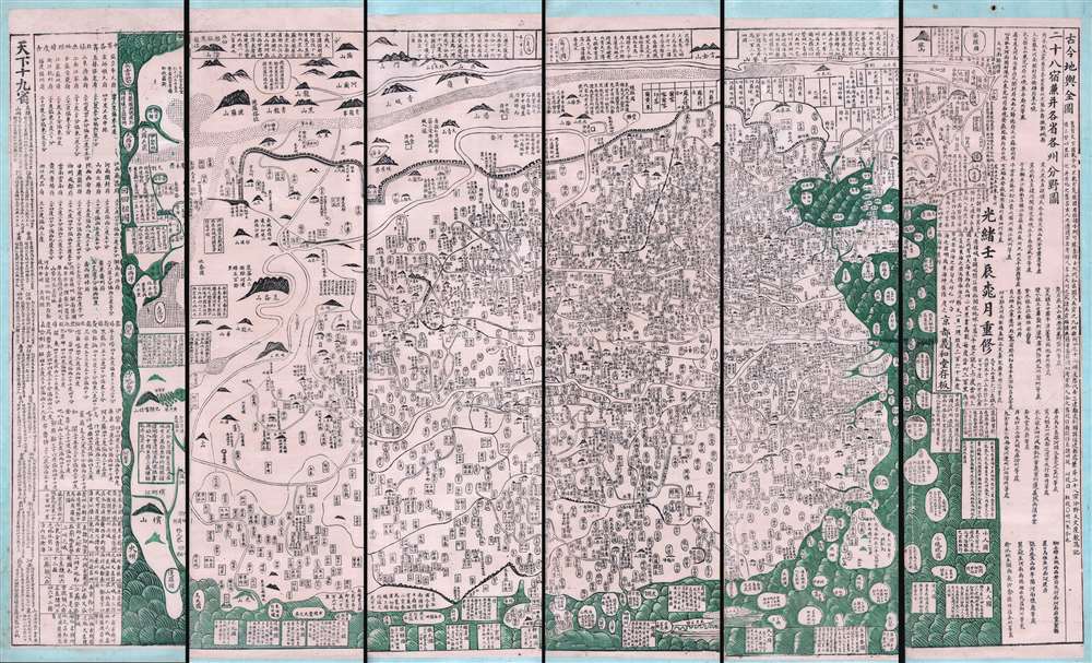
古今地舆全圖 / Full Modern and Ancient Map.
$65,000.00
Acquire
- Digital Map Information
- Suitable for large format printing
- Full resolution TIFF file
- ICC color profile embedded
- Delivered instantly via download link
A rare and important discovery, this is Mingjie Liu's (刘明杰) (1857 - 1911) important 1892 (Guangxu 18) Qing Era xylographic (woodcut) map of China - the earliest known example of what is considered China's first commercial map and possibly the first Chinese comical map. The map was revolutionary when Liu created it, as this was neither administrative nor religious; instead, it was a commercially marketed folk piece, muban nianhua (木版年画), created in Yangjiabu, Shandong, for traditional Chinese New Year festivals. Coverage extends to all of China, as well as marginal inclusions in the form of tenuous mappings of foreign places, including European countries, Southeast Asia, India, and apocryphal destinations. (more details)
The first map of New South Wales Australia!
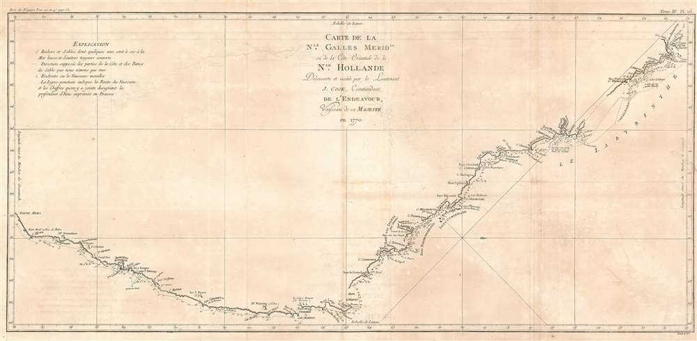
Carte de La Nle. Galles Meridle. Ou de la Cote Orientale de la Nle. Hollande Decouverte et visitee par le Lieutenant J. Cook, Commandant de L'Endeavour, vaisseau de sa Majeste en 1770.
$1,900.00
Acquire
- Digital Map Information
- Suitable for large format printing
- DPI: 600
- File Size: 21.69 MB
- File Type: ZIP / TIFF
- ICC color profile embedded
- Delivered instantly via download link
This is the 1774 first French edition of James Cook's seminal first map of New South Wales, Australia. Oriented to the West, the map extends from Cape York, Prince of Wales Island, and the Endeavour Straits to Point Hicks (Victoria). The map is a product of Cook's search for the often speculated upon southern continent or 'Terra Australis,' which scholars from the 16th century on believed, based upon ancient Greek texts, must exist at the base of the world.
After observing the Transit of Venus on June 3, 1769, Cook sailed westward, planning to return to England via the Cape of Good Hope, as he believed the Endeavour would not survive a second trip around Cape Horn. Instead he sailed west, where he hoped to discover Terra Australis. He sailed around New Zealand and headed for Tasmania, intending to follow up on Abel Tasman's work, when gales forced him northward. On April 19, 1770, his second, Zachary Hicks, signed land, what Cook immediately named Point Hicks. While Cook was most certainly aware he had not discovered 'Terra Australis', he did spend several months, from April 19 to August 22, 1770, mapping long sought east coast of New Holland (Australia), what he came to call New South Wales. He proceeded northwards, navigating the coast with great care, naming notable locations along the way.
It is of note that the coasts between Cape Flattery and Weymouth remains unmapped. This area is so full of small islands and dangerous reefs that Cook aptly named it 'The Labyrinth.' Just as he entered this area, near Cape Tribulation, the Endeavour struck a reef. On our map there is a note reading, 'On this ledge the ship laid 23 hours.' Rather than risk his ship further Cook sailed the Endeavour further out to sea, around the perilous reefs, landing at Cape York to officially name New South Wales and claim the land for England,
After observing the Transit of Venus on June 3, 1769, Cook sailed westward, planning to return to England via the Cape of Good Hope, as he believed the Endeavour would not survive a second trip around Cape Horn. Instead he sailed west, where he hoped to discover Terra Australis. He sailed around New Zealand and headed for Tasmania, intending to follow up on Abel Tasman's work, when gales forced him northward. On April 19, 1770, his second, Zachary Hicks, signed land, what Cook immediately named Point Hicks. While Cook was most certainly aware he had not discovered 'Terra Australis', he did spend several months, from April 19 to August 22, 1770, mapping long sought east coast of New Holland (Australia), what he came to call New South Wales. He proceeded northwards, navigating the coast with great care, naming notable locations along the way.
It is of note that the coasts between Cape Flattery and Weymouth remains unmapped. This area is so full of small islands and dangerous reefs that Cook aptly named it 'The Labyrinth.' Just as he entered this area, near Cape Tribulation, the Endeavour struck a reef. On our map there is a note reading, 'On this ledge the ship laid 23 hours.' Rather than risk his ship further Cook sailed the Endeavour further out to sea, around the perilous reefs, landing at Cape York to officially name New South Wales and claim the land for England,
I now once more hoisted English Coulers and in the Name of His Majesty King George the Third took possession of the whole Eastern Coast from the above Latitude [38] down to this place by the name of New South Wales, together with all the Bays, Harbors, Rivers, and Island s situate upon the said coast. (Cook, J., Journal, August 22, 1770)Until this time it was assumed that Australia, or New Holland as it was known, was a barren wasteland, as the Dutch navigators had explored only a small part of the arid western coast. Cook on the other hand, sailed up the fertile east coast, and was impressed by what he saw. It was Cook who recommended settlement and persuaded Joseph Banks to argue for using the remote continent as a penal colony. This map is significant for Australia collectors as the first definitive mapping of the coasts of New South Wales. Cook's nomenclature largely remains in use today. The map notes both Botany Bay and Port Jackson. (more details)
Finely executed pictorial map illustrating Mediaeval York.
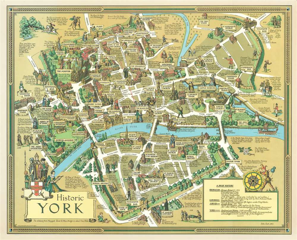
Historic York.
$425.00
Acquire
- Digital Map Information
- Suitable for large format printing
- File Size: 83.04 MB
- File Type: ZIP / TIFF
- ICC color profile embedded
- Delivered instantly via download link
A stunning 1947 pictorial map of York, England by the New York artist Estra Clark. Oriented to the North East, this map illustrates central York between the River Foss (Browney Dyke) and the River Ouse. It focuses on York's mediaeval buildings, both those that remained in 1947, and those that were destroyed. Buildings are represented in vignette fashion, along with annotations, and illustrations of local personalities and characters from folklore. This is one of Clark's first, if not the first, published maps. (more details)
A facsimile of one of the first attempts to impose a street grid on Manhattan Island.
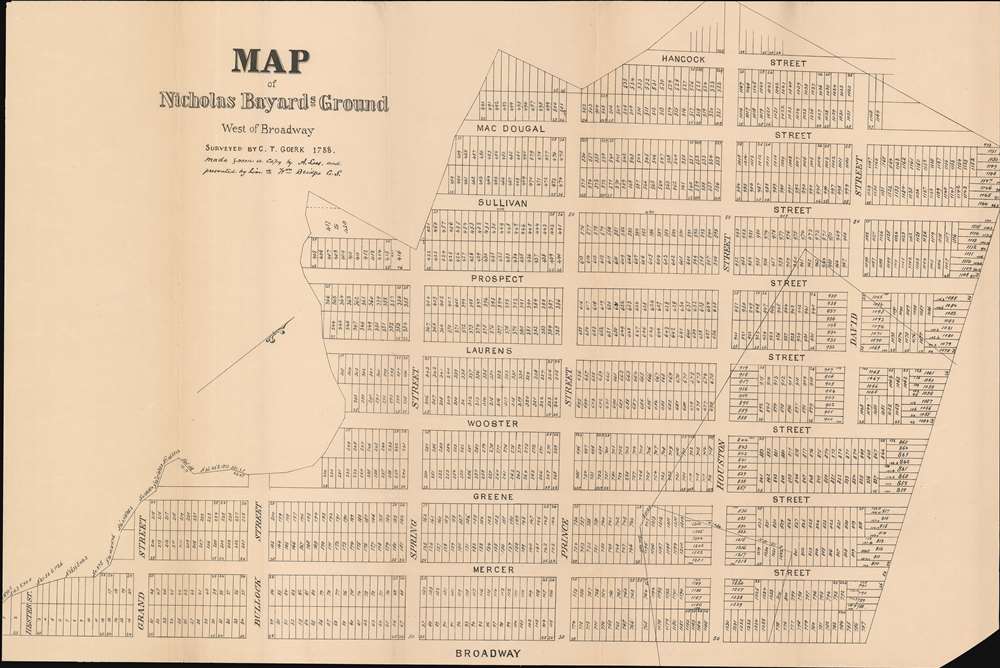
Map of Nicholas Bayard's Ground West of Broadway.
$750.00
Acquire
- Digital Map Information
- Suitable for large format printing
- File Size: 33.34 MB
- File Type: ZIP / TIFF
- ICC color profile embedded
- Delivered instantly via download link
This is a c. 1920 copy of a 1788 Casimir Theodor Goerck survey map of Soho. It comprises one of the first times a street grid was imposed on Manhattan Island. Depicting the neighborhood from the east, the map stretches from Grand Street to David Street and from Hancock Street (since consumed by Sixth Avenue) to Broadway. Commissioned in 1788, the Bayard family hired Goerck to survey the part of their estate west of Broadway and to lay out streets and lots so the land could be sold. Although Goerck successfully imposed the grid, creating Mercer, Greene, Wooster, Laurens (now LaGuardia Place), Thompson, Sullivan, and MacDougal Streets that now make up the core of Soho and part of Greenwich Village, his plans broke down near the edges of the estate, since the streets had to connect with existing ones. (more details)
Illustrates part of the Casa de Campo, a 4,200 acre public part just west of downtown Madrid.
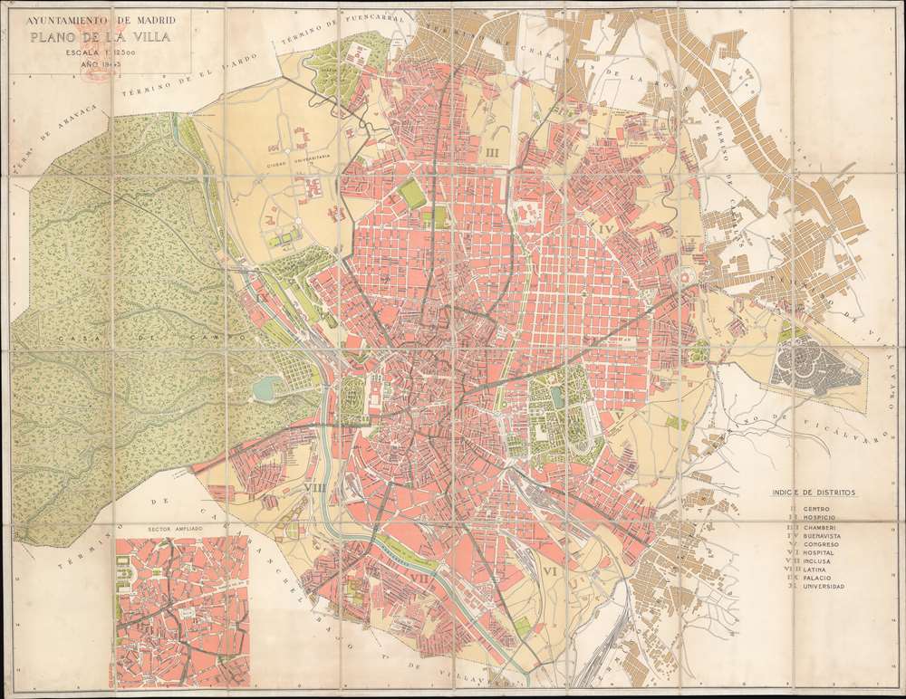
Plano de la Villa.
$350.00
Acquire
- Digital Map Information
- Suitable for large format printing
- File Size: 73.69 MB
- File Type: ZIP / TIFF
- ICC color profile embedded
- Delivered instantly via download link
This is a 1945 Madrid City Council city map or plan of Madrid, Spain. Focusing on the city center, the map depicts the city from the Casa de Campo to Vicálvaro and from Fuencarral and Chamartín de la Rosa to Villaverde and Vallecas. Streets throughout the city are labeled, as are squares and plazas. Each of the city's ten districts is identified by Roman numerals that correspond with a key along the right border. While most of the city is colored a shade of pink, Madrid's many parks, most of which are illustrated in some detail, are colored green, making them very noticeable. The Parque del Retaro with its zoo is to the right of center with the Campo del Moro mirrored to the left, although not of the same size as the Parque del Retaro. The Casa de Campo, Madrid's largest public park, dominates the left half of the map. Once a royal hunting estate (which is where its name, 'Country House' comes from), the park covers over 4200 acres, dwarfing New York City's Central Park, which occupies 840 acres. Roads through the park are illustrated, along with footpaths, streams, and the Madrid to Irún Railway. An inset map in the lower left corner depicts the city center along the Calle Mayor from the Plaza de Prienta to the Puerta del Sol ad including the Plaza Mayor. (more details)
An incredibly entertaining pictorial map of Wyoming.
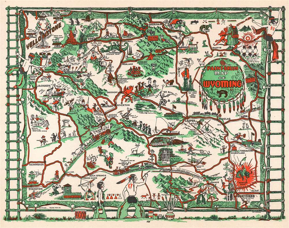
Paint-Brush Map of Wyoming.
$200.00
Acquire
- Digital Map Information
- Suitable for large format printing
- File Size: 9.52 MB
- File Type: ZIP / TIFF
- ICC color profile embedded
- Delivered instantly via download link
This is a 1938 Thomas Graham Carrigen pictorial map of Wyoming. The map depicts the entire state and highlights some of the most well-known locations in Wyoming, including Yellowstone National Park, Grand Tetons National Park, and Devil's Tower. Drawn conceptually ... (more details)
A map of Hell's Kitchen that traces the development of the neighborhood.
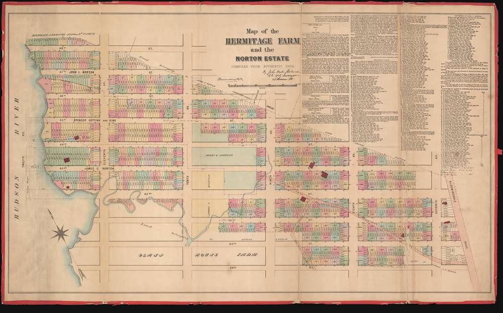
Map of the Hermitage Farm and the Norton Estate.
$4,000.00
Acquire
- Digital Map Information
- Suitable for large format printing
- File Size: 47.75 MB
- File Type: ZIP / TIFF
- ICC color profile embedded
- Delivered instantly via download link
This is an 1872 John Bute Holmes cadastral map of the modern-day neighborhood of Hell's Kitchen in the borough of Manhattan in New York City. The map depicts the neighborhood from the Hudson River to Broadway (labeled as Bloomingdale Road) and from 48th Street to 39th Street. Highly detailed, Holmes's map provides the viewer with a look at the neighborhood as it was in 1872 and also projects an image of how it developed. Streets are labeled, and individual lots are identified by their addresses. Some elements are ghosted in using dashed lines, including Twelfth Avenue and several wharves. (more details)
A wonderful map of Little Italy, Nolita, and part of Soho that traces the history of these neighborhoods.
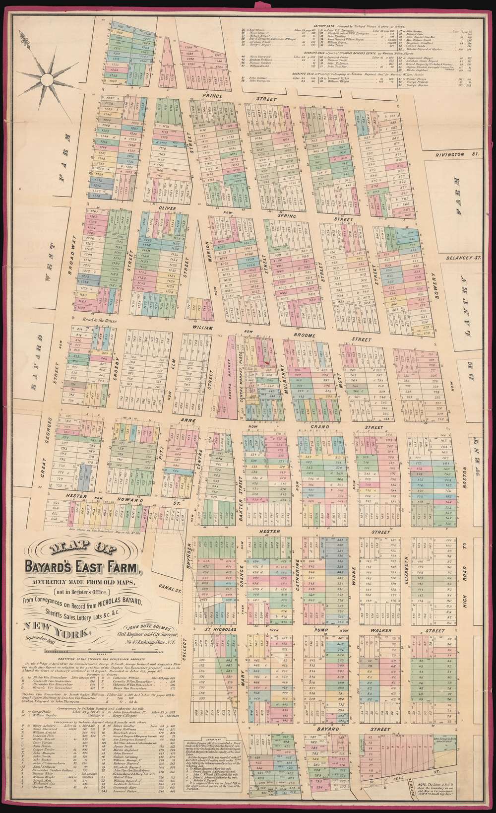
Map of Bayard's East Farm, Accurately Made from Old Maps, (not in Register's Office), From Conveyances on Record from NICHOLAS BAYARD, Sheriff's Sales, Lottery Lots, etc., etc.
$5,000.00
Acquire
- Digital Map Information
- Suitable for large format printing
- File Size: 44.82 MB
- File Type: ZIP / TIFF
- ICC color profile embedded
- Delivered instantly via download link
This is a John Bute Holmes 1869 cadastral map of modern day Little Italy and parts of the iconic neighborhoods of Nolita, Soho, and Chinatown in the borough of Manhattan in New York City - the only specific map of this area to appear in the 19th century. The map depicts the region from Broadway to Bowery and from Prince Street to Pell Street. Highly detailed, Holmes's map provides the viewer with a look at the neighborhood in 1869 and with an idea of how it developed. Streets area labeled, and Holmes provides both the former names of the streets and their current ones. Individual lots are identified by addresses, and those that fell victim to widening streets and a changing urban landscape are ghosted in using dashed lines. (more details)
Depicts the neighborhood as it was in the 1790s: dominated by the Common Lands and long before Central Park was even conceived.
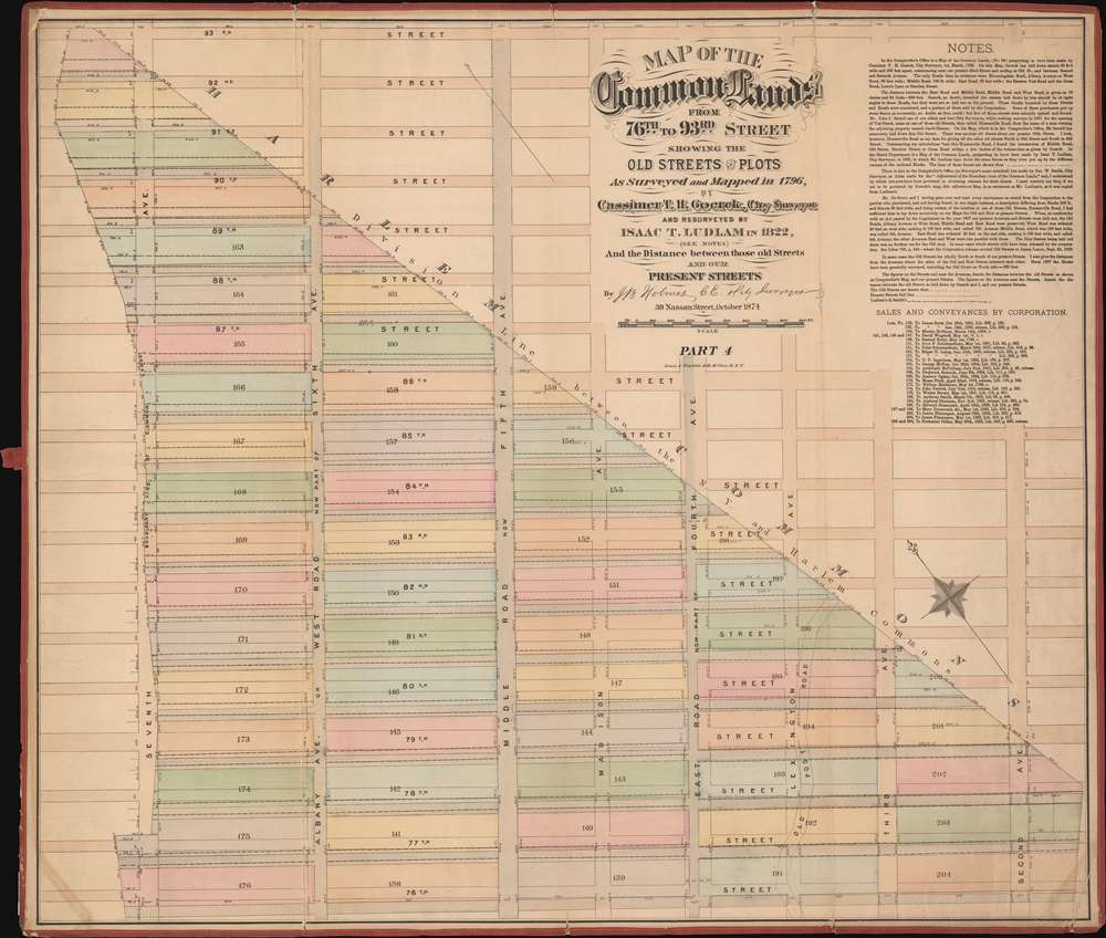
Map of the Common Lands from 76th to 93rd Street Showing the Old Streets and Plots As Surveyed and Mapped in 1796, by Cassimer T.H. Goerck, City Survey and resurveyed by Isaac T. Ludlam in 1822, (See Notes) And the Distance between these old Streets and our Present Streets.
$4,500.00
Acquire
- Digital Map Information
- Suitable for large format printing
- File Size: 36.96 MB
- File Type: ZIP / TIFF
- ICC color profile embedded
- Delivered instantly via download link
This is a John Bute Holmes 1874 cadastral map of the Upper East Side neighborhood of Manhattan - the only specific map of this area to appear in the 19th century. The map depicts the region from Seventh Avenue (or at least where it would be if Central Park hadn't been built) to Second Avenue and from 93rd Street to 76th Street. The bulk of the map is occupied by the northern reaches of the Common Lands, including the boundary between the Common Lands and the village of Harlem. This boundary was a diagonal line approximately from the intersection of today's Second Avenue and 79th Street to what would be the intersection of 92nd Street and Seventh Avenue, if Central Park had not been constructed. Also evident are the early planning stages of what would become Park Avenue - some of New York city's most covented real estate. (more details)
Illustrates the United States by using the figures of an Old West gunslinger and a Native American chief wearing a headdress.
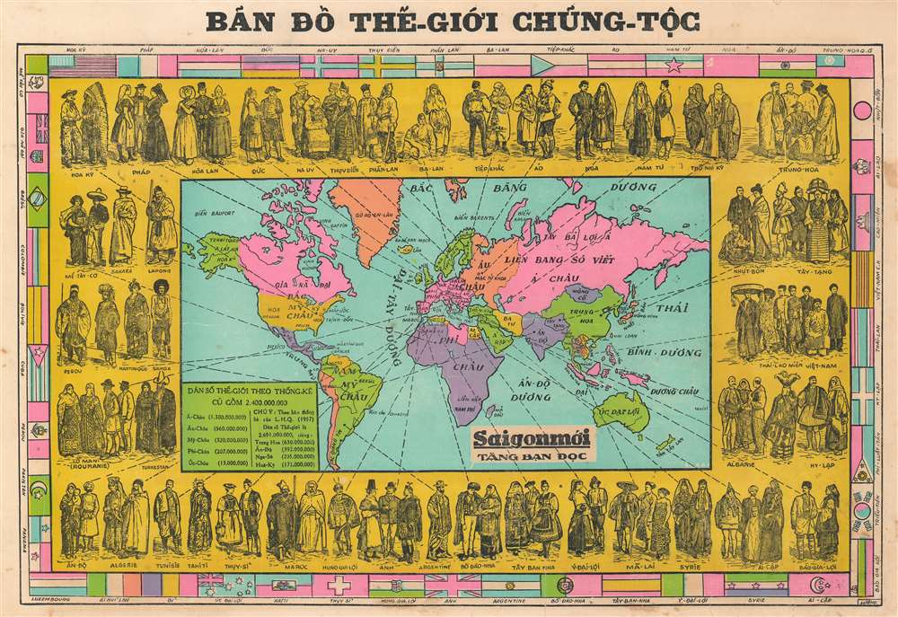
Bản Đồ Thể-Giới Chủng-Tộc. / [Map of the World's Ethnicities].
$650.00
Acquire
- Digital Map Information
- Suitable for large format printing
- File Size: 18.38 MB
- File Type: ZIP / TIFF
- ICC color profile embedded
- Delivered instantly via download link
This is a 1957 Lượng Vietnamese pictorial map of the world's ethnicities. The map, situated at center, depicts the entire world and is framed by illustrations of different representatives of the world's ethnicities (read: nationalities) in traditional dress. Dashed lines from most of the sketches connect the figures with their country of origin, although not all are marked in such fashion. The United States, for example, is situated in the top left corner and is personified by a man in an outfit straight out of an Old West John Wayne movie and a Native American chief in a headdress as tall as he is. The French, who, if the date we have assigned to this map is correct were just beaten by the Vietnamese in the French Indochina War, are just to the right of the Americans. Numerous other traditional costumes are illustrated for countries all over the world, including Germany, Russia, China, India, Tibet, Algeria, Morocco, and Mexico. Each caricature is labeled, interestingly, in either Vietnamese or French, but never both. A table in the lower left corner of the map provides the viewer with the population of the Earth at of 1957 and a list of the five most populous continents and the four most populated countries. The whole is surrounded by a border made up of national flags which, just as curiously, are labeled in either Vietnamese or French, but not both. (more details)
A political cartoons with four different illustrations of 19th century stereotypes of the Mormon religion.
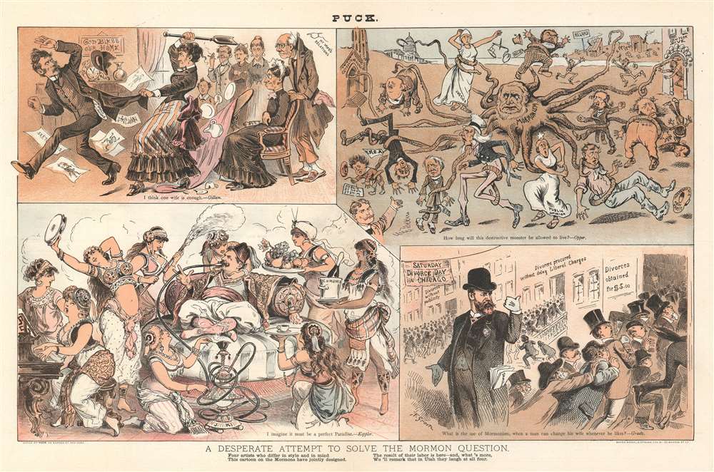
A Desperate Attempt to Solve the Mormon Question.
$500.00
Acquire
- Digital Map Information
- Suitable for large format printing
- File Size: 23.11 MB
- File Type: ZIP / TIFF
- ICC color profile embedded
- Delivered instantly via download link
This is an 1884 Puck political cartoon grappling with the 'question of Mormonism'. Constructed in four panels done by four different Puck cartoonists, each panel presents each artist's perspective on the 'Mormon question', three of which address the question of polygamy/marriage in the Mormon faith. (more details)
An incredibly detailed 18th century map of the Kamchatka Peninsula.
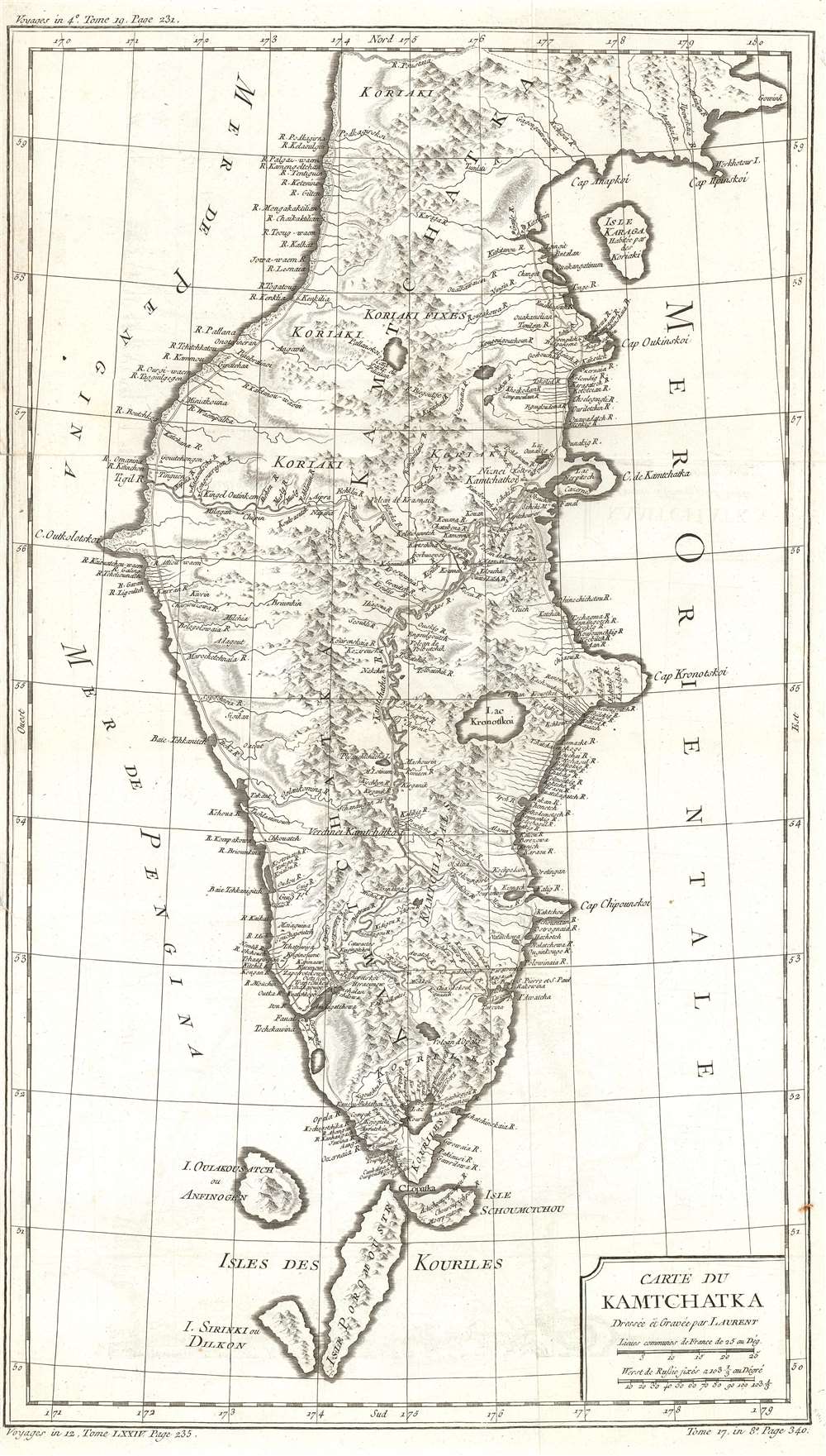
Carte du Kamchatka.
$250.00
Acquire
- Digital Map Information
- Suitable for large format printing
- DPI: 600
- File Size: 13.51 MB
- File Type: ZIP / TIFF
- ICC color profile embedded
- Delivered instantly via download link
This is a 1757 Jacques-Nicolas Bellin map of the Kamchatka Peninsula. The map depicts the entire peninsula and parts of the Sea of Okhotsk and the Bering Sea. Based on the work of Stepan Petrovich Krasheninnikov, an incredibly detailed illustration of the peninsula's interior is presented. Myriad rivers are illustrated and labeled, as is a chain of mountains running up the peninsula's center. A handful of lakes are also identified. The northernmost Kuril Islands are illustrated and labeled as Isle Schoumctchou, I. Oulakousatch ou Anfinogen, Isle Poromoustr, and I. Sirinki ou Dilkon. (more details)
Depicts the original boundaries of the Rutgers Farm, the first settlement on the Lower East Side.
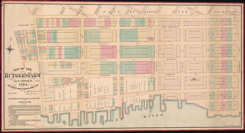
Map Of The Rutger's Farm As it existed in 1784, Accurately Made From Reliable Data
$5,000.00
Acquire
- Digital Map Information
- Suitable for large format printing
- File Size: 43.1 MB
- File Type: ZIP / TIFF
- ICC color profile embedded
- Delivered instantly via download link
This is a John Bute Holmes 1874 cadastral map of the Lower East Side and Two Bridges neighborhoods, which have historically been considered one neighborhood. A traditionally immigrant, working class neighborhood, the map depicts from Oliver Street to Montgomery Street and from Division Street to the East River. (more details)
Entices the adventurous with the suggestion of buried treasure and lost fortunes, and of course 'X' marks the spot!
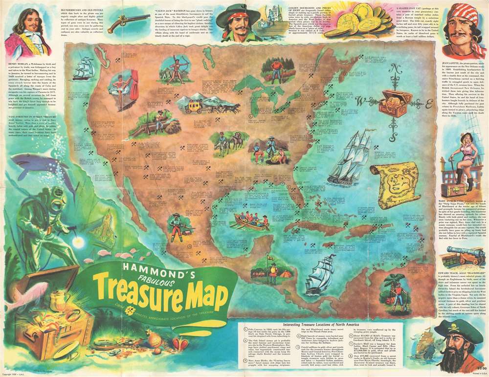
Hammond's Fabulous Treasure Map.
$200.00
Acquire
- Digital Map Information
- Suitable for large format printing
- File Size: 31.27 MB
- File Type: ZIP / TIFF
- ICC color profile embedded
- Delivered instantly via download link
This is a 1959 Chuck Mazoujian pictorial treasure map of Central and North America. The map depicts the region from the Pacific Ocean to the Atlantic Ocean and from southern Canada to northern South America. As this is a treasure map, numerous different tales of lost treasure are referenced here, each of which provides a location and the amount of money supposedly hidden there. Each location is marked by a shovel and pick axe set in the form of and 'X', with the exception of eight, which are numerically identified. These eight locations are the 'interesting treasure locations of North America' and a more detailed story is recounted for them in an index situated along the bottom border. Among the treasures referenced is loot buried by notorious outlaws, such as Jesse James and John Dillinger, lost mines, and numerous shipwrecks. Pirates are profiled around the border, including Blackbeard, Mary Anne Blythe (known as the 'Strip Tease Pirate'), Jean LaFitte, and Henry Morgan. (more details)
Includes the Paraguay, Parana, and Uruguay Rivers, the Rio de la Plata, and the mythical Laguna de Xarayes.
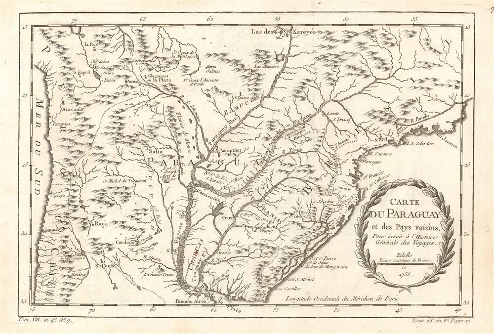
Carte du Paraguay et des pays voisins.
$150.00
Acquire
- Digital Map Information
- Suitable for large format printing
- DPI: 600
- File Size: 7.1 MB
- File Type: ZIP / TIFF
- ICC color profile embedded
- Delivered instantly via download link
This is a 1756 Jacques-Nicolas Bellin map of southern South America. The map depicts the region from the Pacific Ocean to the Atlantic Ocean and Rio de Janeiro and from La Paz and the mythical Laguna de Xarayes to the Rio de la Plata and Buenos Aires. Highly detailed, numerous colonial cities, towns, and villages are identified, including Asuncion (Assomption), Buenos Aires, Rio de Janeiro, La Paz, and Montevideo. The Paraguay, Parana, and Uruguay Rivers are all illustrated in detail, with myriad tributaries branching off from each one. (more details)
llustrates Notre Dame, the Louvre, the Pantheon, and the bridges of the Seine among other Paris landmarks.
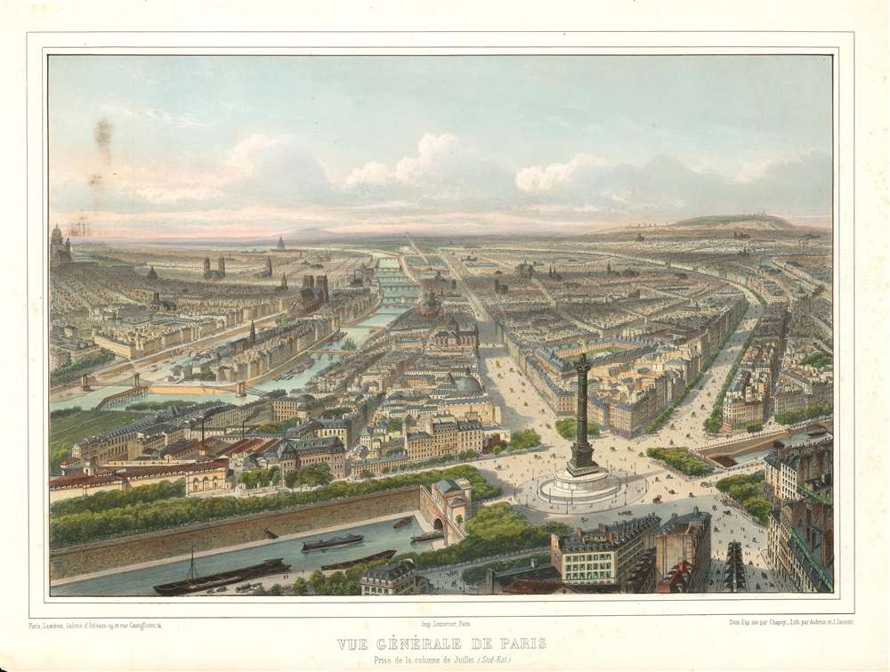
Vue Générale de Paris. Prise de la colonne de Juillet. (Sud-Est.)
$750.00
Acquire
- Digital Map Information
- Suitable for large format printing
- DPI: 600
- File Size: 18.77 MB
- File Type: ZIP / TIFF
- ICC color profile embedded
- Delivered instantly via download link
This is a c. 1845 Nicolas Chapuy view of Paris. The view looks west over the City of Light with the Place de la Bastille and the Colonne de Juillet in the foreground. The Canal Saint Martin crosses beneath the Place de la Bastille in the foreground, with the Rue Saint-Antoine and the Boulevard Beaumarchais leading away from the column. The Place des Vosges, the square of houses surrounding a park, can be seen just behind the Colonne de Juillet and was the first planned square in Paris. Further along the Rue Saint-Antoine, the Église Saint-Gervais is illustrated, just across the Seine from Notre Dame. The Louvre and the Tuileries Gardens are also discernable, as are Les Invalides and the Panthéon (along the left border). Numerous other churches are included throughout Paris. The bridges of the Seine are beautifully illustrated. In the distance, practically on the horizon, the recently completed Arc de Triomphe is visible, but only just. (more details)
A rare cartoon map of the U.S. Naval Training Center Great Lakes - today the U.S. Navy's largest training center.
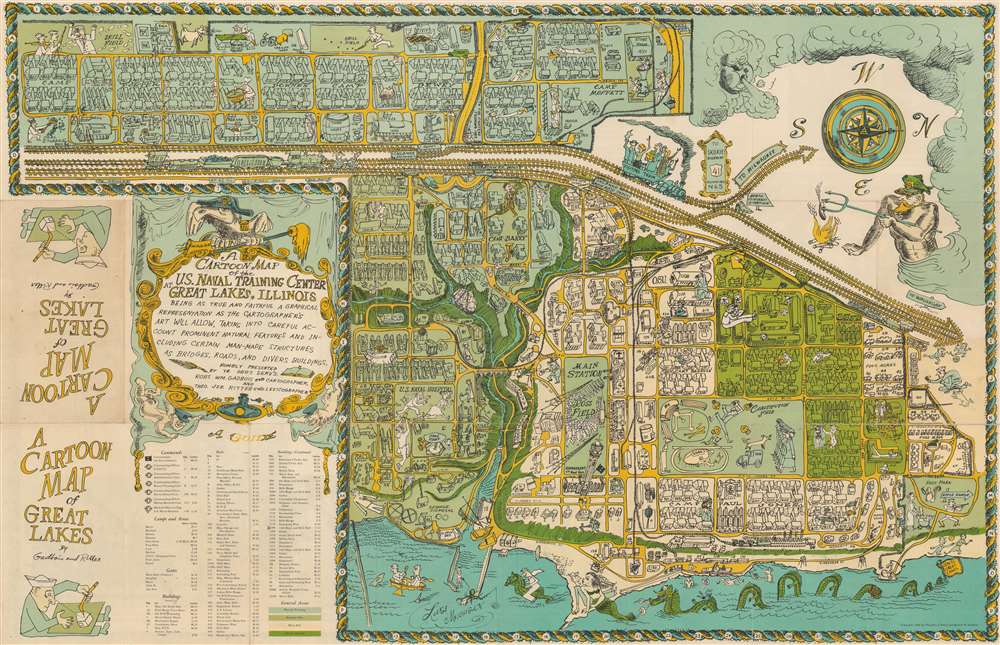
A Cartoon Map of the U.S. Naval Training Center Great Lakes, Illinois, Being as True and Faithful a Graphical Representation as the Cartographer's Art Will Allow, Taking Into Carful Account Prominent Natural Features and Including Certain Man-Made Structures as Bridges, Roads, and Divers Buildings.
$750.00
Acquire
- Digital Map Information
- Suitable for large format printing
- Full resolution TIFF file
- ICC color profile embedded
- Delivered instantly via download link
This is a 1949 Robert William Gadbois and Theodore J. Ritter cartoon pictorial map of the U.S. Naval Training Center Great Lakes, situated on the banks of Lake Michigan just north of Chicago in Illinois. Created in the post-war period, the map depicts the training center from the east and illustrates from Camp Porter to Foss Park and from the drill field to Lake Michigan. Highly detailed, myriad buildings throughout the U.S.N.T.C. are illustrated and labeled. Numerous camps, set up to house the tens of thousands of men present at the camp at any one time, are identified (most of which are named after Naval heroes), including Camp Downes, Camp Dewey, Camp Barry, Camp Moffett, and Camp Paul Jones. Ross Field, across from the main railway station, is named after Captain Albert R. Ross who supervised the base's construction. The Naval Hospital is also prominently labeled, complete with a patient drawn chasing a nurse. Other comic illustrations include a man in a striped suit, sailors playing ping pong, and another sailor drilling holes in the Drill Field. Others include a sea monster in Lake Michigan wearing a sailor's 'gob cap', a sailor riding a gigantic sea horse, and another sailor being romanced by a mermaid. There's even an octopus using a fishing pole fishing off a pier! A large decorative cartouche is situated in the lower left quadrant, just above an index of over one hundred buildings located throughout the base. (more details)
An extremely rare 18th century map of England and Wales.
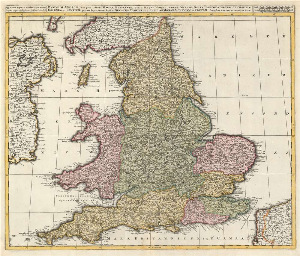
Regnum Angliae, sive pars Australis Magnae Britanniae, divisa in Regna Northumbriae, Marciae, Ostangliae, Westsexiae, Suthsexiae, Essexiae, et Cantium; quorum singula iterum divisa in Ducatus, Comitatus, Insulas Monam, Monaviam, et Vectam.
$1,200.00
Acquire
- Digital Map Information
- Suitable for large format printing
- DPI: 600
- File Size: 31.12 MB
- File Type: ZIP / TIFF
- ICC color profile embedded
- Delivered instantly via download link
This is a 1724 Gerard and Leonard Valk map of England and Wales. The map depicts the region from eastern Ireland to the North Sea and from Scotland to the English Channel, northern France (Pas de Calais and Nord departments), and Belgium. Highly detailed, myriad cities, towns, and villages are labeled throughout the entire region, not just in England and Wales. Some of the identified cities include London, Southampton, Cambridge, Newcastle, and Cardiff (Caerdyf), along with Belfast in Ireland, and Calais and Dunkirk in France. Seven geographical regions within England are shaded different colors to allow for easy differentiation, including East Anglia, Northumbria, Essex, and Sussex. Wales is also differentiated by color. The Isle of Man is depicted in the Irish Sea between England and Ireland. (more details)
A 16th century map of Madagascar based on information from the first Dutch expedition to the East Indies.
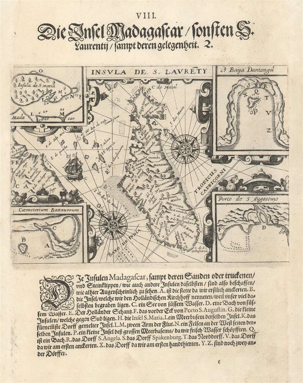
Insula de S. Laurety. / Die Insel Madagascar.
$400.00
Acquire
- Digital Map Information
- Suitable for large format printing
- DPI: 600
- File Size: 6.54 MB
- File Type: ZIP / TIFF
- ICC color profile embedded
- Delivered instantly via download link
This is a 1599 Theodor de Bry map of Madagascar. The map depicts the entire island from the southwest with the African coast illustrated along the left side. Numerous locations throughout the islands are labeled, as are several smaller islands situated between Africa and Madagascar. Two wind roses appear on either side of Madagascar and the Tropic of Capricorn passes through the island's southern quarter. Four inset maps appear in the maps four corners and illustrate Santa Maria Island, the Coromos Islands, Dantogil Bay, and Saint Augustine Harbor. Nineteen different locations within the inset maps are alphabetically identified and correspond to a key located below the map. (more details)
Labels both Buenos Aires and Montevideo.
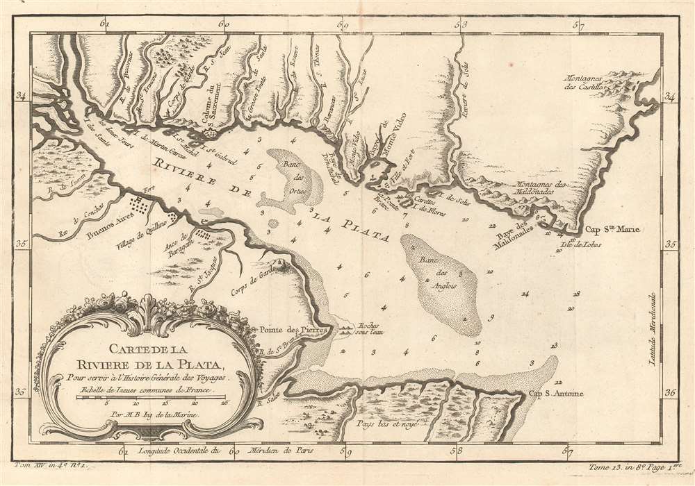
Carte De La Riviere De La Plata : Pour servir à l'Histoire Générale des Voyages.
$175.00
Acquire
- Digital Map Information
- Suitable for large format printing
- DPI: 600
- File Size: 5.1 MB
- File Type: ZIP / TIFF
- ICC color profile embedded
- Delivered instantly via download link
This is a 1757 Jacques-Nicolas Bellin map of the Canary Islands. The map depicts the Rio de la Plata as it empties into the Atlantic Ocean, with modern-day Uruguay on the top and Argentina on the bottom. Today, the Rio de la Plata forms part of the border between Argentina and Uruguay, with both Buenos Aires and Montevideo situated along its banks. Both Buenos Aires (Buenos Ayres) and Montevideo are labeled here, along with the Baye van Montvidio, which is noted as a safe harbor. Small villages and other settlements are also labeled. Numerous smaller rivers are illustrated emptying into the Rio de la Plata from both banks and many of them are identified. Depth soundings are included along both banks and within the Rio de la Plata, along with two banks. (more details)