
Greater Boston.
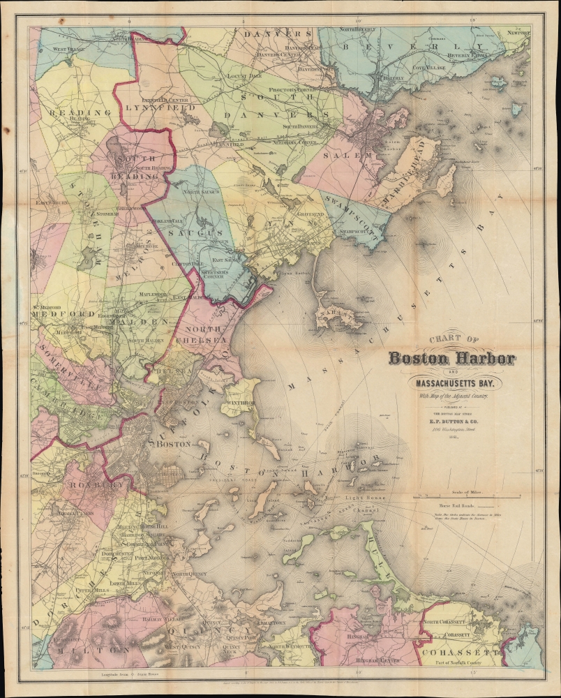
Chart of Boston Harbor and of Massachusetts Bay with Map of the Adjacent Country.
sold
- Digital Map Information
- Suitable for large format printing
- File Size: 26.89 MB
- File Type: ZIP / TIFF
- ICC color profile embedded
- Delivered instantly via download link
A scarce, separately-issued 1861 pocket map of Boston and surrounding communities along the central coast of Massachusetts, published by E. P. Dutton. It is notable for demonstrating the development of Boston, in particular the initial filling in of the Back Bay. (more details)
Perhaps It's Better to Walk.

New Principles, or the March of Invention.
sold
- Digital Map Information
- Suitable for large format printing
- Full resolution TIFF file
- ICC color profile embedded
- Delivered instantly via download link
A memorable piece of dark humor, this c. 1829 aquatint satirical print by Thomas McLean depicts the explosion of a steam-powered coach, a distressingly common occurrence at the time. The overall effect is to cast doubt on the supposed progress brought about by the Industrial Revolution and the latest inventions of the time. (more details)
Disputed Islands. Sailor repairs.

China Sea - Southern Portion - Eastern Sheet Compiled from the latest surveys, 1881. [Admiralty Chart No.] 2660 B.
sold
- Digital Map Information
- Suitable for large format printing
- File Size: 32.81 MB
- File Type: ZIP / TIFF
- ICC color profile embedded
- Delivered instantly via download link
An impressive 1884 nautical chart of a portion of the South China Sea produced by the British Admiralty. Displaying extensive evidence of use as a working chart aboard a ship, it exhibits old stiched sailor repairs. It covers the waters to the north and east of Borneo and surrounding Palawan at the western edge of the Philippines. Also included are the Spratley Islands, a disputed archipelago of islands, islets, cays, reefs, and shoals spread out over an area of some 164,000 square miles. (more details)
Britain's Bulwark.
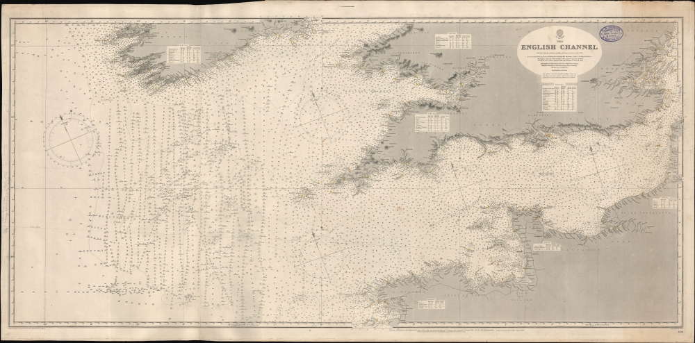
English Channel. [Admiralty Chart No.] 1598.
$600.00
Acquire
- Digital Map Information
- Suitable for large format printing
- File Size: 73.9 MB
- File Type: ZIP / TIFF
- ICC color profile embedded
- Delivered instantly via download link
A large-format 1897 nautical map or chart of the English Channel produced by the British Admiralty. It demonstrates both the notorious hazards of the channel for larger ships, as well as a greater understanding and cataloging of those same hazards in the late 19th century. (more details)
Birthplace of Surfing.

War Games.
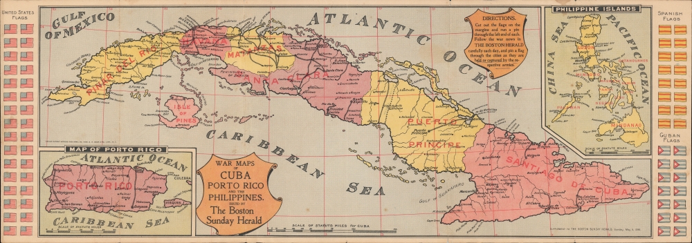
War maps of Cuba Porto Rico and the Philippines.
sold
- Digital Map Information
- Suitable for large format printing
- File Size: 55.39 MB
- File Type: ZIP / TIFF
- ICC color profile embedded
- Delivered instantly via download link
A curious relic of the Spanish-American War, this 1898 map and game board was published by the Boston Sunday Herald in 1899. Focusing on Cuba, the Philippines, and Puerto Rico, it allowed readers to track the course of the war using cut-out flags in the margins. (more details)
On the Eve of Teddy's Trust Busting.

The King of the Combinations.
sold
- Digital Map Information
- Suitable for large format printing
- File Size: 19.34 MB
- File Type: ZIP / TIFF
- ICC color profile embedded
- Delivered instantly via download link
A 1901 satirical J. S. Pughe / Puck chromolithograph from the later days of the Gilded Age, lampooning the expansive business interests of magnate John D. Rockefeller, who in the last decades of the 19th century dominated the American oil industry. (more details)
A better map of the NYC Subway.
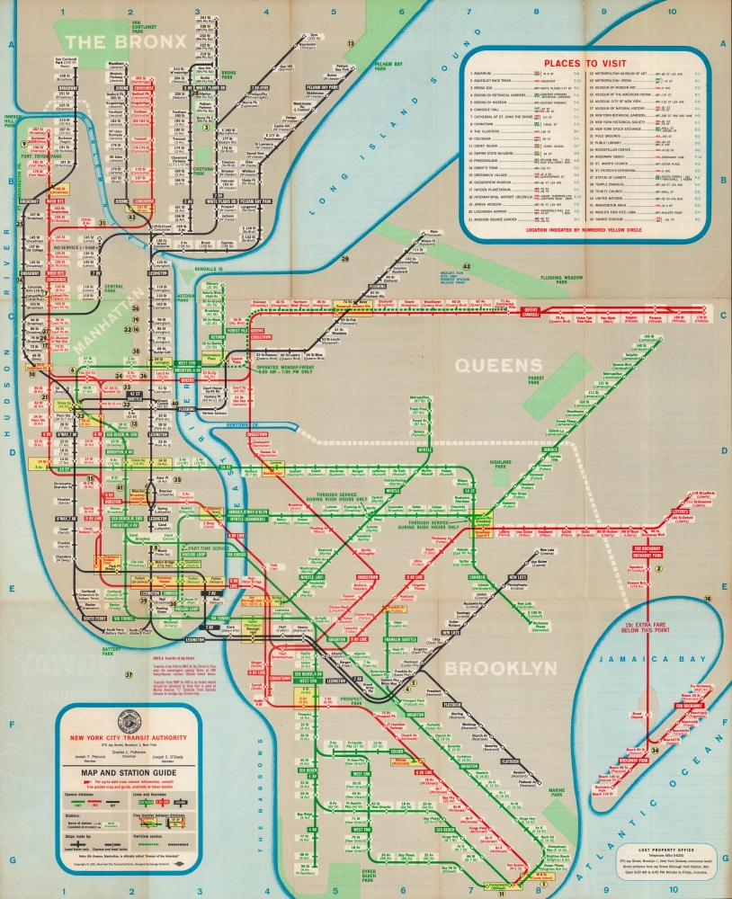
Official New York Subway Map and Guide, 1961 Edition.
sold
This is George Salomon's 1961 map of the New York City Subway network, an important stepping-stone in the development of today's standard map. Salomon pioneered many features adopted by later subway map designers, including Massimo Vignelli. (more details)
First Japanese World Map on Mercator's Projection.
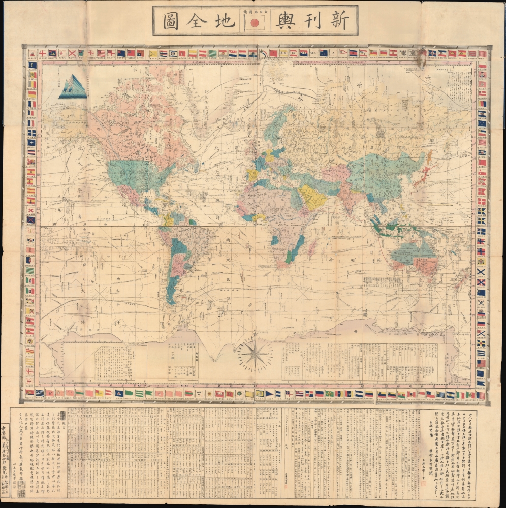
新刊舆地全圖 / Shinkan Yochi Zenzu. / Latest Map of the World.
sold
- Digital Map Information
- Suitable for large format printing
- Full resolution TIFF file
- ICC color profile embedded
- Delivered instantly via download link
An impressive 1861 (Bunkyū 1) Japanese map of the world on a Mercator projection by Satō Masayasu, a translator and expert on Dutch learning in the late Tokugawa Period (1600 - 1868). It reflects the tentative but increased circulation of foreign geographical knowledge in the 1860s, as the Tokugawa scrambled to modernize and secure their tenuous rule over Japan. (more details)
Liverpool Honors the Liverpudlian Fab Four.

Beatles Map / The Beatles Trail.
sold
This is the rare, large-format 1974 Beatles map of Liverpool, published by the City of Liverpool Public Relations Office. (more details)
Unpublished game by one of the early Pioneers of Science Fiction.

Interplanetary.
sold
- Digital Map Information
- Suitable for large format printing
- File Size: 14.24 MB
- File Type: ZIP / TIFF
- ICC color profile embedded
- Delivered instantly via download link
This is a 1946 board for 'Interplanetary', an unpublished board game by pioneering science fiction writer Neil Ronald Jones. Although lesser known, Jones was one of the great early pioneers in the genre of science fiction, ranking with Arthur C. Clarke, Robert A. Heinlein, and Ray Bradbury. Jones was a lifelong devotee of board games and spent his spare time developing this game - although it appears not to have been published, this being one of only 5 known proof examples (all others are in private hands). (more details)
First Edition 'BREM' map of Middle Earth!

Middle Earth.
sold
An example of one of the rarest and most iconic J. R. R. Tolkien 'Middle Earth' maps - the 1965 first edition poster-map issued to promote Ballentine's first American issue of the Lord of the Rings, featuring the illustrations of Barbara Remington. (more details)
Island Paradise with some of the world's greatest fortified wines.
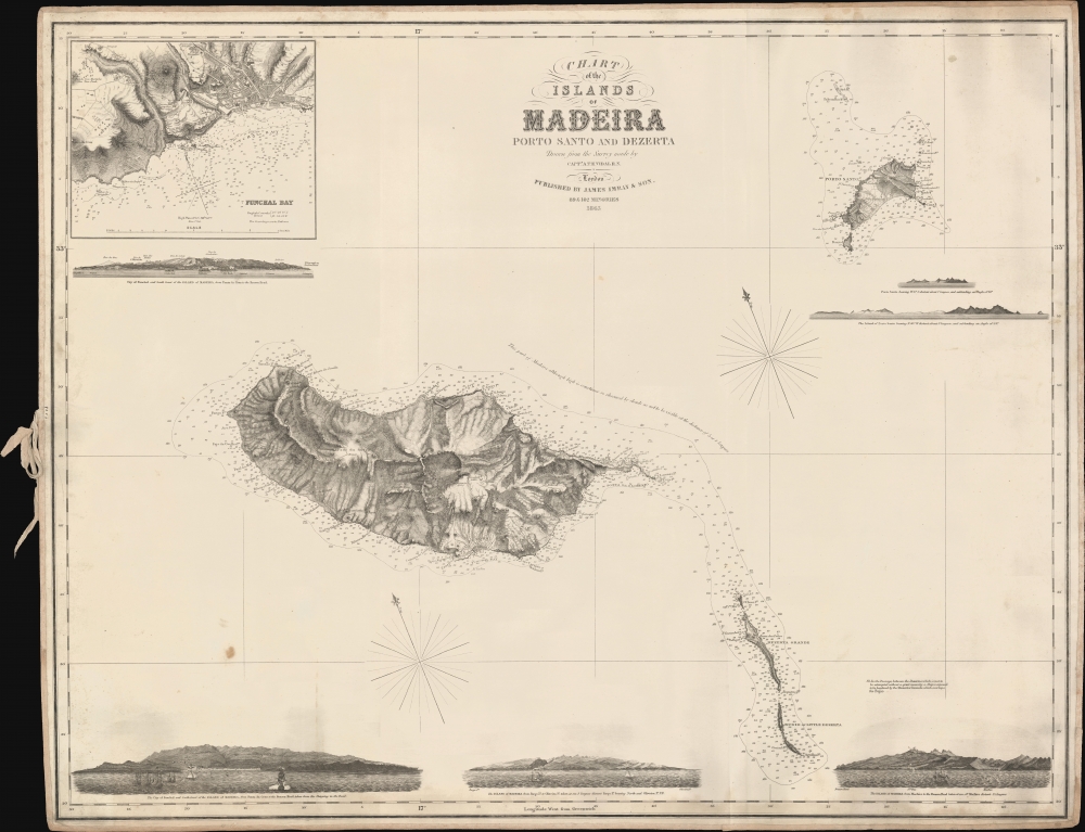
Chart of the Islands of Madeira Porto Santo and Dezerta.
sold
- Digital Map Information
- Suitable for large format printing
- File Size: 823.41 MB
- File Type: ZIP / TIFF
- ICC color profile embedded
- Delivered instantly via download link
A scarce 1863 James Imray nautical map of Madeira and nearby islands, based on a survey by Royal Navy officer Alexander Vidal. (more details)
Designed for the Crystal Palace Exhibition.
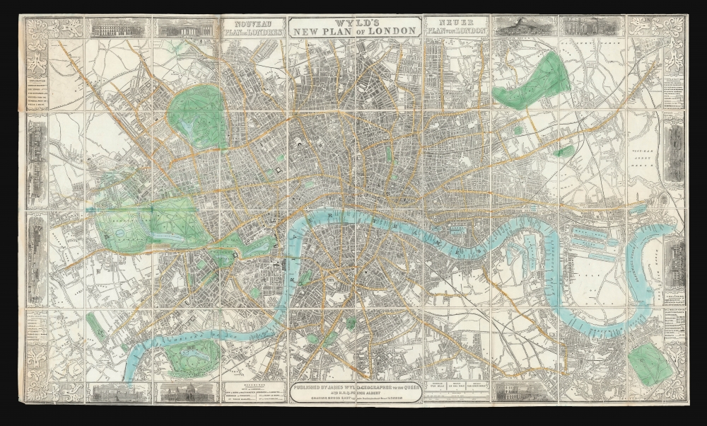
Wyld's New Plan of London.
sold
- Digital Map Information
- Suitable for large format printing
- DPI: 600
- File Size: 1025.05 MB
- File Type: ZIP / TIFF
- ICC color profile embedded
- Delivered instantly via download link
A decorative 1851 first edition plan or map of London, England by James Wyld. It was published to be of use to visitors to London's 1851 Great Exhibition of the Works of Industry of All Nations, also known as the Crystal Palace Exhibition. (more details)
One of the greatest British lordly estates.
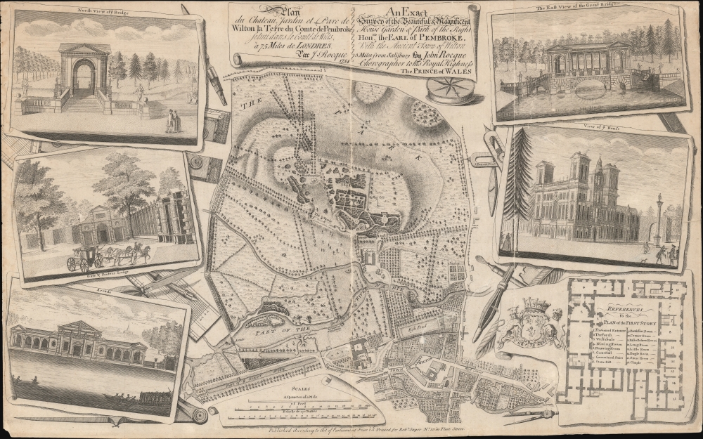
Plan du chateau, Jardin et Parc de Wilton la Terre du Comte de Pembroke, située dans la comté de Wilts. à 75 miles de Londres par J. Rocque… / An Exact Survey of the Beautiful and Magnificent House, Garden and Park of the Right Honble. the Earl of Pembroke with the ancient town of Wilton 3 miles from Salisbury…
sold
- Digital Map Information
- Suitable for large format printing
- DPI: 600
- File Size: 376.18 MB
- File Type: ZIP / TIFF
- ICC color profile embedded
- Delivered instantly via download link
A striking c. 1770 John Rocque / Robert Sayer map and illustration of Wilton House, seat of the Earls of Pembroke. The map, originally issued in 1754, follows a major reworking of the gardens under Capability Brown, one of the greatest landscape designers in British history. The map takes in Wilton House, its gardens, and the nearby town of Wilton. Surrounding vignettes detail architectural features of the Wilton Gardens as well as a floor plan of the Palladian manor house. (more details)
Stunning early view of Cairo expressing European fascination with oriental cultures.

Cairus, quae olim Babylon; Aegypti Maxima Urbs.
sold
- Digital Map Information
- Suitable for large format printing
- DPI: 600
- File Size: 21.5 MB
- File Type: ZIP / TIFF
- ICC color profile embedded
- Delivered instantly via download link
This is a striking c. 1572 view map of Cairo, Egypt during the Ottoman Period issued by Braun and Hogenberg. The map presents Cairo from the right bank of the Nile, so looking towards the southeast with the Pyramids of Giza and the Great Sphinx appearing at right. Braun and Hogenberg's Cairo is a city of uniform rectilinearity interspaced with fortresses, gated gardens, and soaring minarets. The Great Pyramids of Giza, appearing at right, are highly stylized, presented on green hills, and clearly indicate that artist had never actually seen them. (more details)
Just after Consolidation.
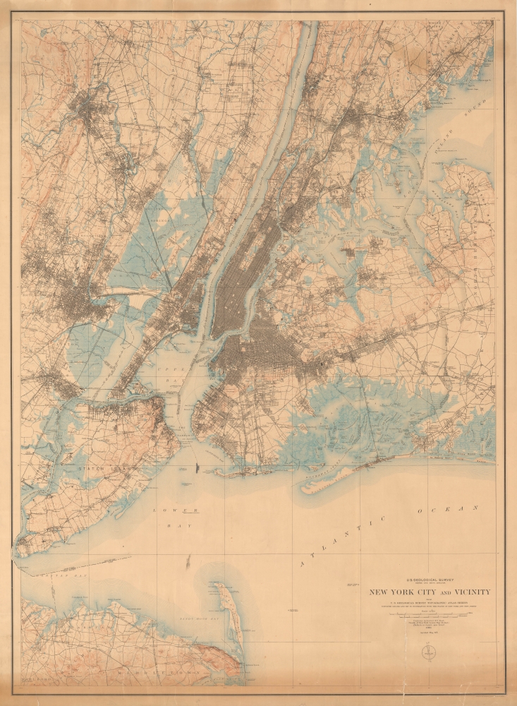
New York City and Vicinity.
$950.00
Acquire
- Digital Map Information
- Suitable for large format printing
- File Size: 94.06 MB
- File Type: ZIP / TIFF
- ICC color profile embedded
- Delivered instantly via download link
Produced soon after New York City's consolidation of the five boroughs, this large-format 1901 (reprinted 1915) topographic map of New York City and vicinity was produced by the U.S. Geological Survey. In addition to topographic information, it provides an excellent snapshot of the city at the turn of the 20th century. (more details)
Best Saltwater Fishing in Mississippi.
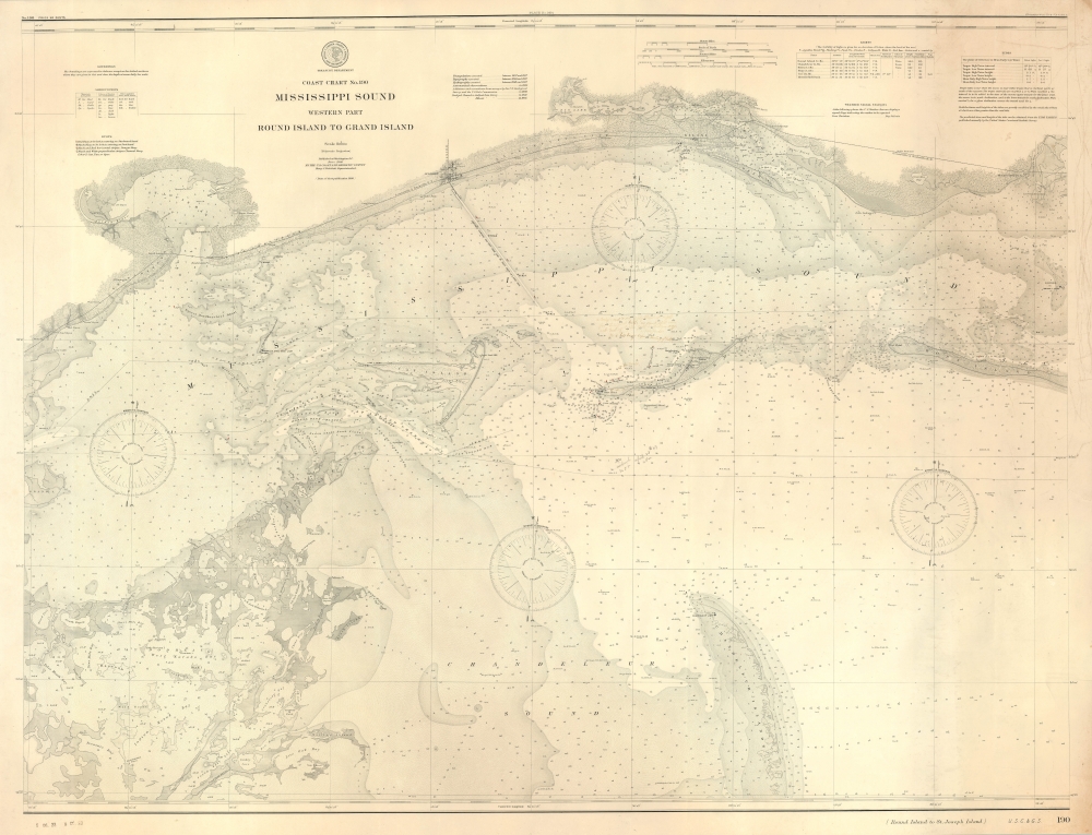
Coast Chart No. 190 Mississippi Sound Western Part Round Island to Grand Island.
sold
- Digital Map Information
- Suitable for large format printing
- File Size: 76.24 MB
- File Type: ZIP / TIFF
- ICC color profile embedded
- Delivered instantly via download link
A scarce, unrecorded 1900 (c. 1906) edition of the U.S. Coast and Geodetic Survey chart of the western part of the Mississippi Sound. While charts of the Gulf Coast generally are not uncommon, very few address this part of the Mississippi Sound with such detail, giving this chart a unique focus on a favored fishing haunt. (more details)
Live Oaks Plantation.
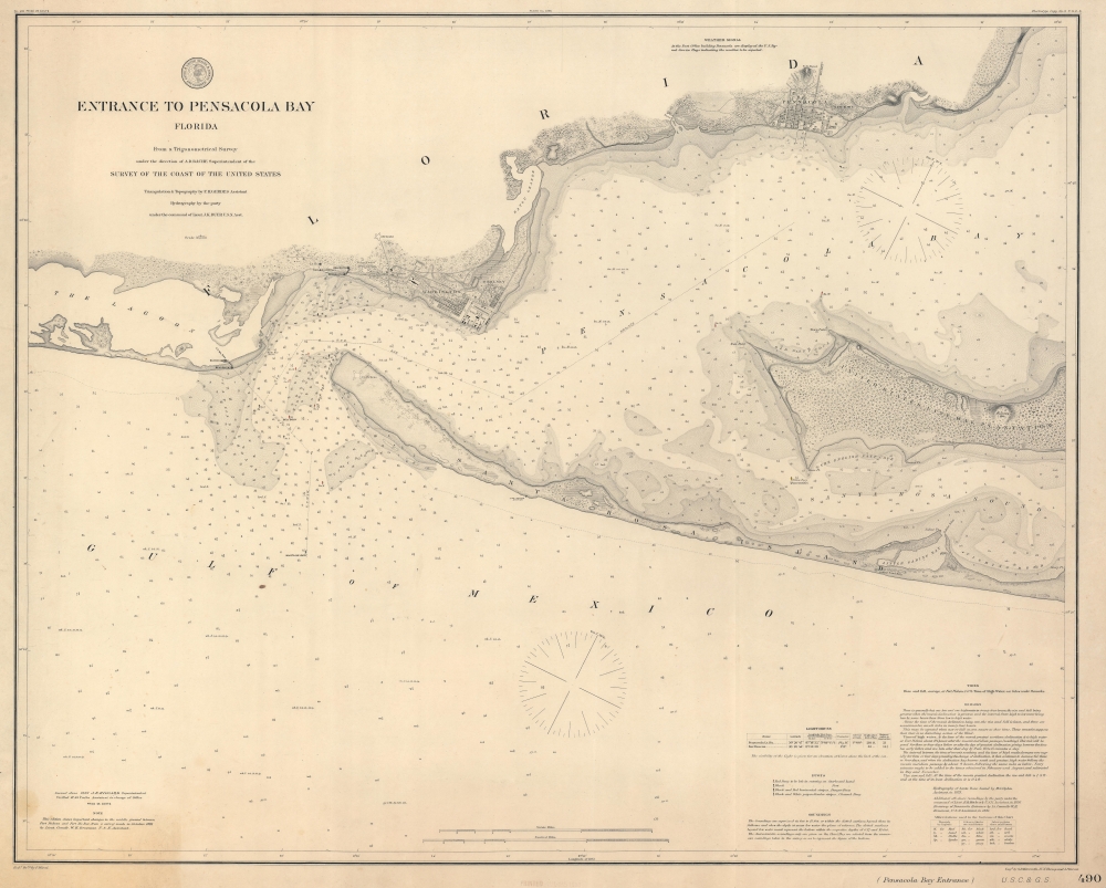
Entrance to Pensacola Bay Florida.
sold
- Digital Map Information
- Suitable for large format printing
- File Size: 47.52 MB
- File Type: ZIP / TIFF
- ICC color profile embedded
- Delivered instantly via download link
This is an 1882 U.S. Coast and Geodetic Survey nautical map of the entrance to Pensacola Bay, Florida. (more details)
Britain's Prize in America following the French and Indian War.
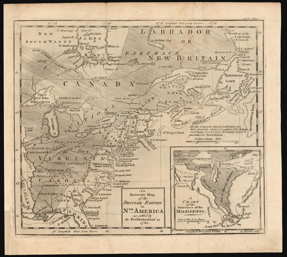
An Accurate Map of the British Empire in Nth. America as settled by the Preliminaries in 1762.
sold
- Digital Map Information
- Suitable for large format printing
- DPI: 600
- File Size: 12.76 MB
- File Type: ZIP / TIFF
- ICC color profile embedded
- Delivered instantly via download link
This scarce, fascinating map of North America east of the Mississippi appeared in the 1762 end-of-year supplement of the Gentleman's Magazine. It revealed, to that magazine's readership, the vast prize of American land that Great Britain stood to gain at the expense of the French in the treaty negotiations then bringing the French and Indian War (1754 - 1763) to a close. (more details)