
First Islamic Wall Map of the Arabian Peninsula.

...مملك محروسهء شاهانه دن آسيا / [The Royal Palace of Asia...].
sold
- Digital Map Information
- Suitable for large format printing
- File Size: 172.65 MB
- File Type: ZIP / TIFF
- ICC color profile embedded
- Delivered instantly via download link
A rare large-format 1871 Ottoman wall map of Arabia by military officer Yusbasi Husni (Hüsnü) Efendi. This is the earliest known large-scale Islamic wall map of Arabia. It was produced amid major administrative changes and cartographic developments, when the Ottoman Empire was securing its tenuous control of Mecca, Medina, and Yemen against both internal and external pressure. (more details)
Best 19th century general map of the Ottoman Empire.
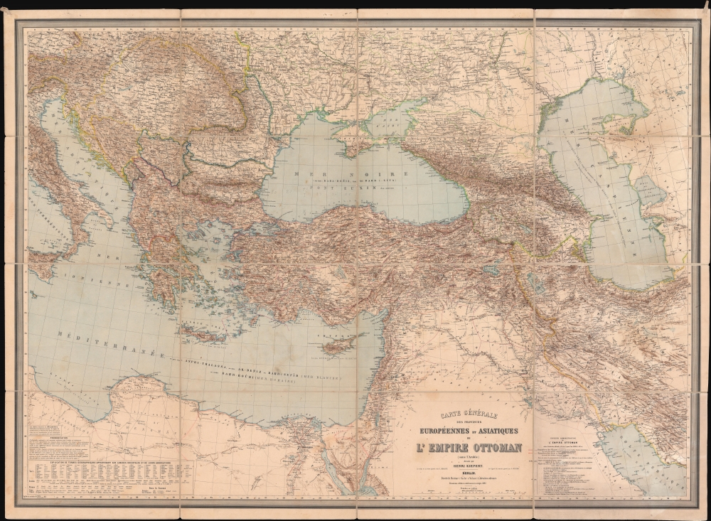
Carte Générale des Provinces Européennes et Asiatiques de l'Empire Ottoman (sans l'Arabie).
sold
- Digital Map Information
- Suitable for large format printing
- File Size: 150.63 MB
- File Type: ZIP / TIFF
- ICC color profile embedded
- Delivered instantly via download link
This is an 1892 Heinrich Kiepert wall map of the Ottoman Empire. The work of Europe's finest cartographer, this is without question the best large scale general map of the Ottoman dominions to appear in the 19th century. (more details)
One of the first, if not the first, Japanese World Map to incorporate western style Comparative Mountains and Rivers charts.
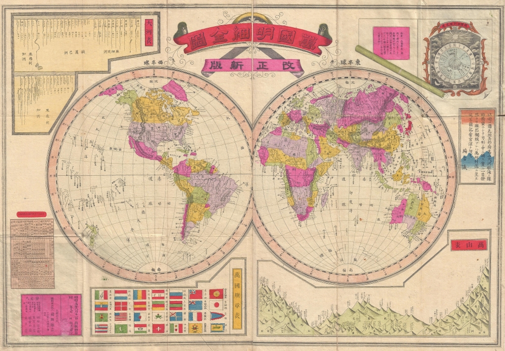
Kaisei shinpan bankoku meisai zenzu. /萬國明細全圖, 改正新版 / Complete, Detailed World Map, Revised and Updated.
sold
- Digital Map Information
- Suitable for large format printing
- File Size: 16.59 MB
- File Type: ZIP / TIFF
- ICC color profile embedded
- Delivered instantly via download link
A scarce Japanese map of the world issued in 1886 (Meiji 19) by Maeda Torakichi, significant for its incorporation of Western scientific data. Most importantly, this is one of the first, if not the first, example of European style comparative world mountains and rivers charts to appear on a Japanese world map. (more details)
The Heart of Hong Kong.
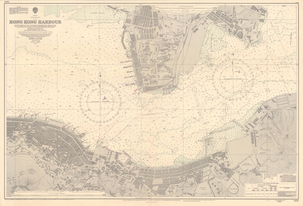
China South East Coast, Hong Kong Harbour.
sold
A splendid nautical map of Victoria Harbour in Hong Kong, produced by the British Admiralty's Hydrographic Office in 1966. It provides a detailed picture of the harbor, the heart of Hong Kong, and the lands to either side. (more details)
The 84th Infantry Division's during World War II.
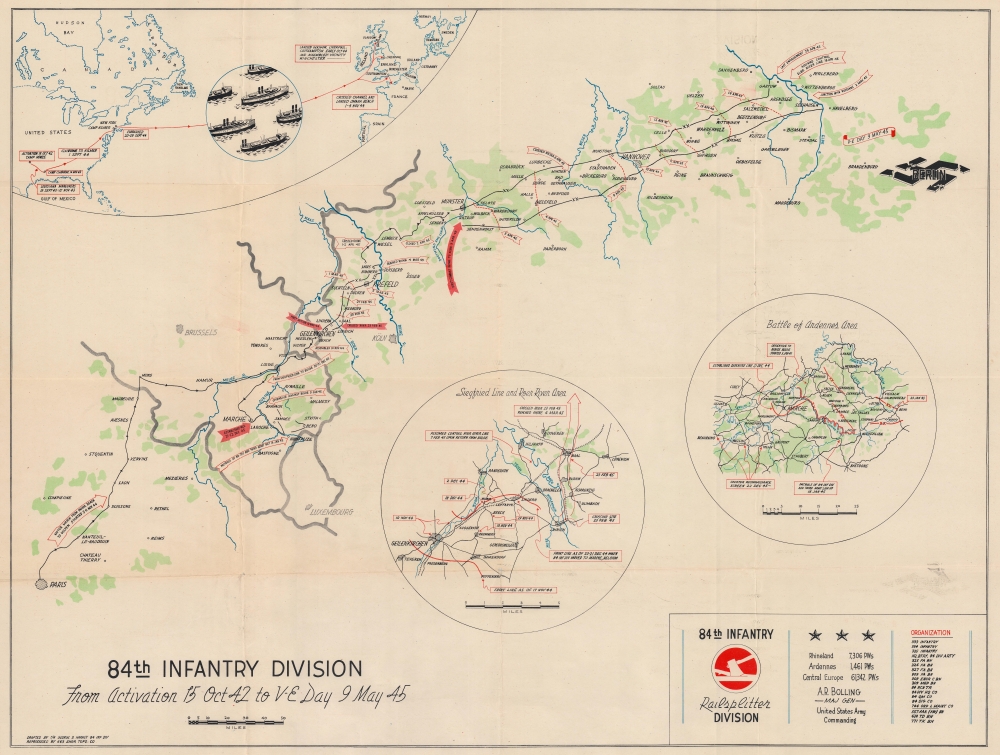
84th Infantry Division From Activation 15 Oct 42 to V-E Day 9 May 45.
sold
- Digital Map Information
- Suitable for large format printing
- File Size: 62.44 MB
- File Type: ZIP / TIFF
- ICC color profile embedded
- Delivered instantly via download link
This is a 1945 George D. Harney World War II 84th Infantry Division route map of Europe. Unlike many maps in the genre, Harney chose to emphasize only the part of the continent where the 84th Infantry Division traveled or saw combat, eliminating most of the geographical context in favor of focusing on those sites where he and his comrades fought. The central map focuses on their movements, while two insets detail actions in specific combat areas. (more details)
Tolkien's Middle-Earth!
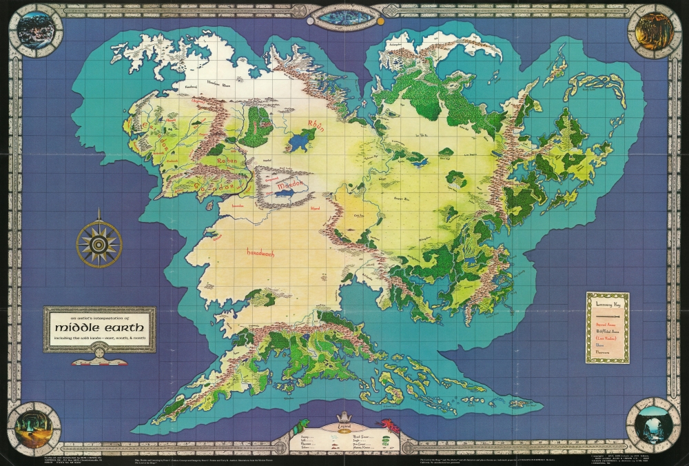
An Artist's Interpretation of Middle Earth including the Wild Lands - east, south, and north.
sold
This is a 1982 map of J. R. R. Tolkien's fantasy world 'Middle-Earth' by Peter C. Fenlon. Fans of Tolkien will be quick to recognize the northeastern part of the map, generally known as the Westlands, encompassing the main theater of both the Hobbit and The Lord of the Rings. The cartography for these areas, from Forodwaith to Umbar and from the western ocean (Belegaer) to the Sea of Rhûn, is drawn directly from the iconic map that accompanied the The Lord of the Rings. (more details)
Steamship from Boston north along the New England coast!

Bird's Eye Map Boston to St. John, N.B. Showing Steamboat Routes and Points of Interest.
sold
- Digital Map Information
- Suitable for large format printing
- Full resolution TIFF file
- ICC color profile embedded
- Delivered instantly via download link
This is the c. 1910 George Walker and Union News chromolithograph bird's-eye view map of the New England coast of the United States and the Maritime Provinces in Canada. Cities are labeled and steamship lines from Boston emphasize travel possibilities from that city. Such views were sold as novelties both at newsstands in ferry and train terminals and onboard those respective vessels. (more details)
Napoleon's first campaign as commander of the Army of Italy.
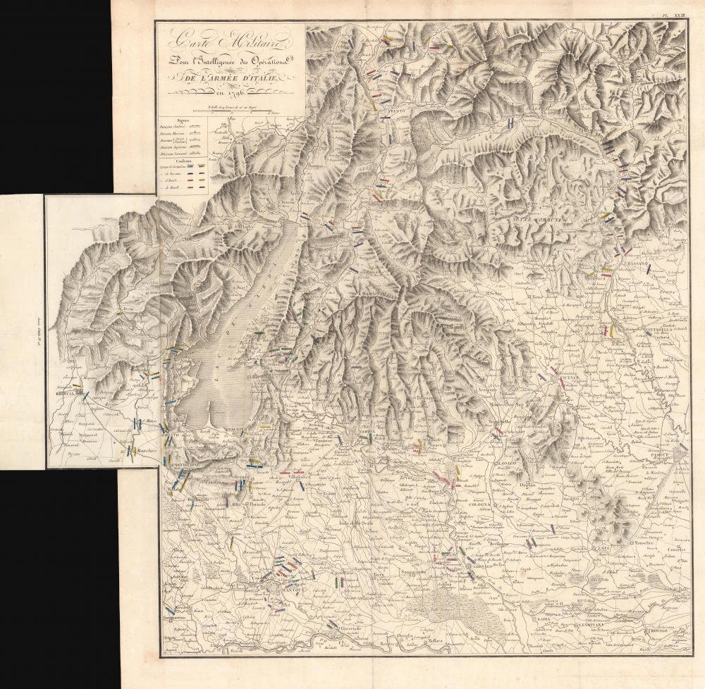
Carte Militaire Pour l'Intelligence des Opérations de l'Armée d'Italie en 1796.
sold
- Digital Map Information
- Suitable for large format printing
- DPI: 600
- File Size: 67.22 MB
- File Type: ZIP / TIFF
- ICC color profile embedded
- Delivered instantly via download link
This is an 1839 Antoine Henri Jomini map of northern Italy in the vicinity of Lake Garda during the French Revolutionary Wars. Highlighting events during 1796 - 1797, this map focuses on the siege of Mantua (1796 - 1797) and the four Austrian relief attempts. (more details)
Elegant Chart comparing the Rivers and Mountains of the World.

Physical Geography.
sold
- Digital Map Information
- Suitable for large format printing
- DPI: 600
- File Size: 22.56 MB
- File Type: ZIP / TIFF
- ICC color profile embedded
- Delivered instantly via download link
This is a handsome example of Adam and Charles Black's 1844 depiction of the comparative sizes of the mountains and rivers of the world. Charts of this type were first introduced in England around 1823 and became a common feature in atlases throughout the 19th century. The present example is admired as one of the more attractive British examples of the style. (more details)
Europe 10 years after the Napoleonic Wars.
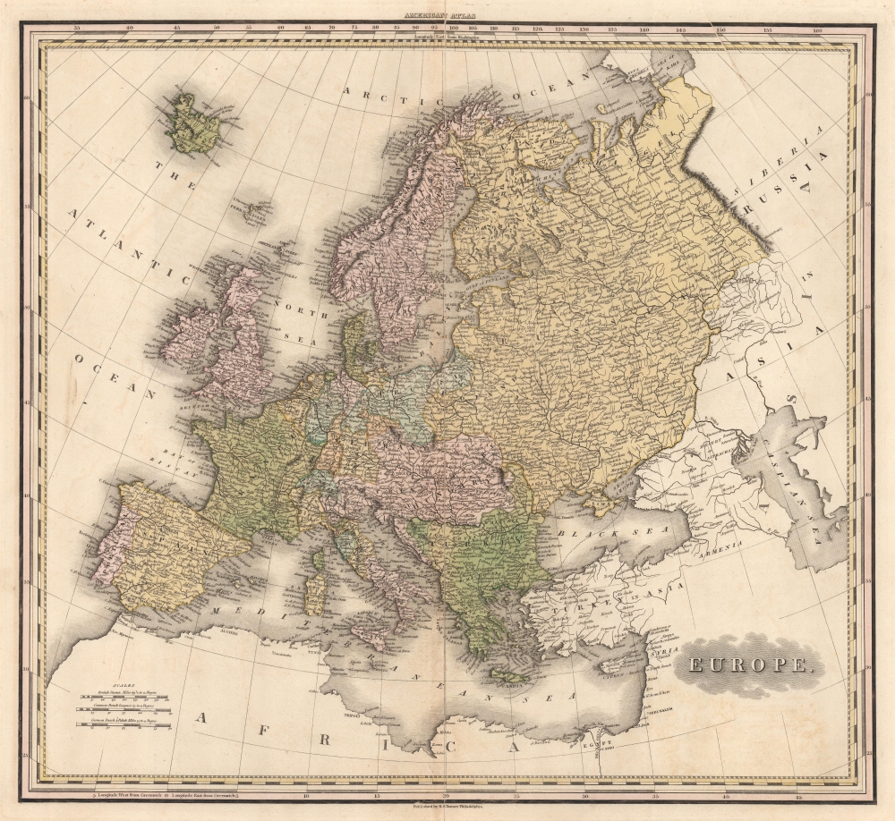
Europe.
sold
- Digital Map Information
- Suitable for large format printing
- DPI: 600
- File Size: 51.61 MB
- File Type: ZIP / TIFF
- ICC color profile embedded
- Delivered instantly via download link
This is Henry Schenck Tanner's impressive 1825 map of Europe. Depicting the entirety of the continent, the finely engraved image unveils Europe as it coalesced roughly 10 years after the Napoleonic Wars. Finland and the eastern part of Poland have been absorbed into a sprawling Russian Empire. Ottoman influence extends to Wallachia and western Moldavia. Italy has yet to begin its struggle for national solidarity and remains divided into small kingdoms and city-states. Germany remains divided into kingdoms and principalities as well, with its unification still decades in the future. (more details)
Travel Florida's highways.
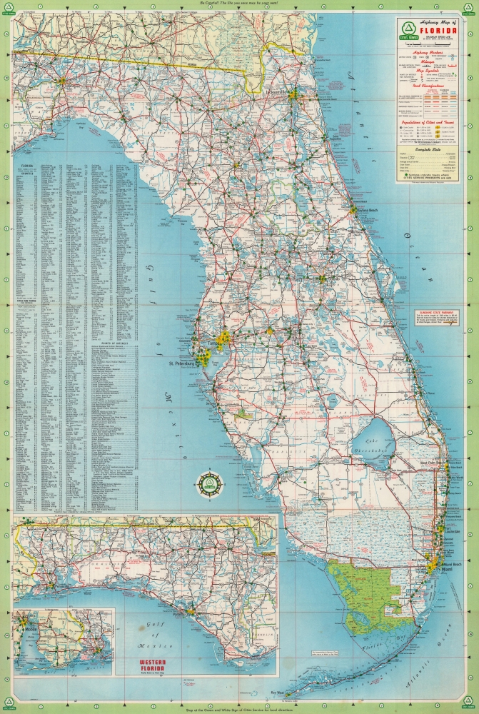
Highway Map of Florida.
sold
This is a 1958 H.M. Gousha Company highway map of Florida. Distributed by Cities Service (now CITGO), travelers and locals would both have benefited from its detail and clarity. (more details)
Helping motorists navigate Tampa and St. Petersburg.
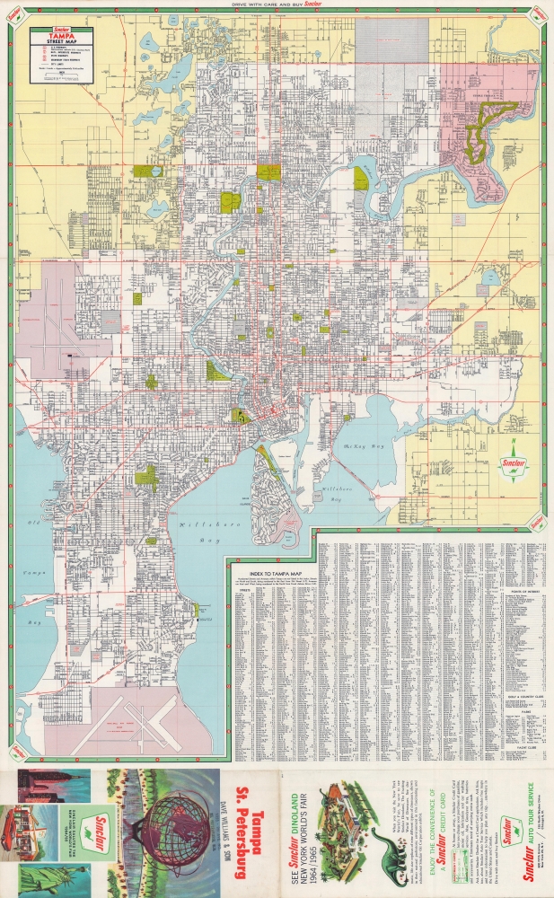
Tampa St. Petersburg.
sold
This is a 1964 Rand McNally city plan or map of Tampa and St. Petersburg, Florida. With Tampa on one side and St. Petersburg on the other, both cities garner the attention to detail necessary for both maps to be effective aids to motorists. (more details)
A stunning late 19th century Vietnamese manuscript map.

清化省圖本 / [Map of Thanh Hóa Province].
sold
- Digital Map Information
- Suitable for large format printing
- Full resolution TIFF file
- ICC color profile embedded
- Delivered instantly via download link
An incredible, one-of-a-kind large-format 1878 manuscript map depicting Thanh Hóa Province (清化省) in north-central Vietnam by Trần Lưu Huệ, an official at the court of the Nguyễn Dynasty. It is one of only a few examples of traditional Chinese-influenced Vietnamese cartography in private hands and outside of Vietnam. The area here covered was significant for the Nguyễn emperors, who had risen to prominence from Thanh Hóa in the early Lê Dynasty (r. 1428 - 1789). This, nonetheless, captures the Nguyễn Empire in decline as French Indochina began its push into the region. (more details)
Quintessential Discovery Era World.
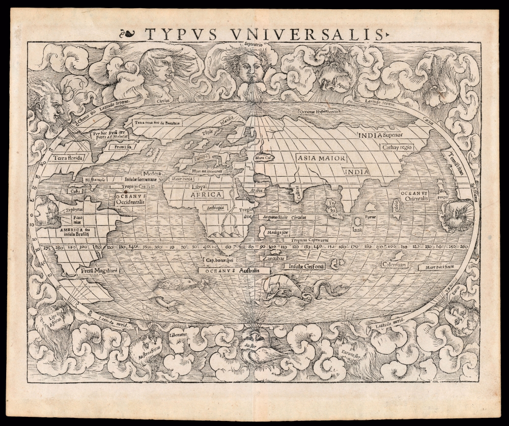
Typus Universalis.
sold
- Digital Map Information
- Suitable for large format printing
- Full resolution TIFF file
- ICC color profile embedded
- Delivered instantly via download link
This is a superb example of the scarce first block of Sebastian Münster's 1540 map of the world, one of the most distinctive maps of the Age of Discovery. It is a remarkable work of synthesis, providing the best summation of the rapidly expanding known world. Although this first block only appeared in the few editions of Münster's Geographia and Cosmographia that were printed prior to 1550, its content was largely preserved in the second block which replaced it. Thus, it was able to provide a broad audience their first image of the post-Magellanic world, unchallenged until the 1570 publication of Ortelius' Theatrum Orbis Terrarum. The present example is the 1545 third state of the map. (more details)
Dominant 16th century Map of the Western Hemisphere in Original Color.
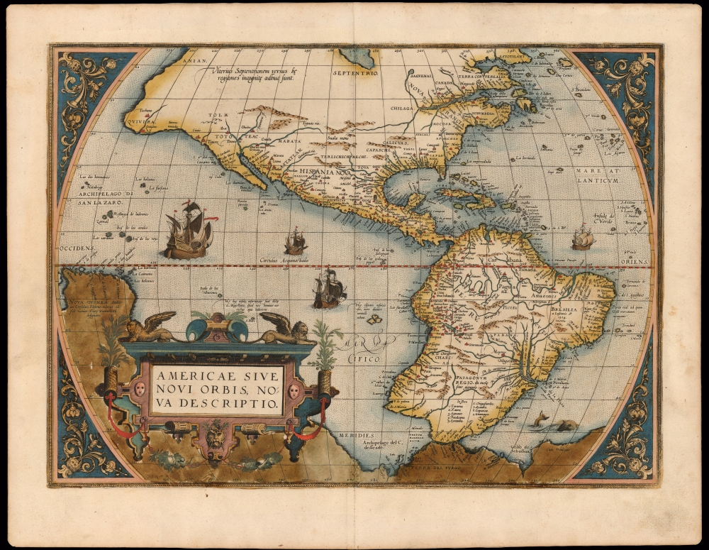
Americae Sive Novi Orbis Nova Descriptio.
sold
- Digital Map Information
- Suitable for large format printing
- Full resolution TIFF file
- ICC color profile embedded
- Delivered instantly via download link
This a striking original-color example of Abraham Ortelius' map of the Western Hemisphere, 'first map of the Americas to appear in a modern atlas' (Schwartz). Ortelius' success and the spread of his atlas made this map the standard - and best - representation of the Americas during the initial period of the European colonization. (more details)
European Colonies of North America.
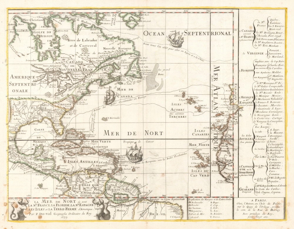
La Mer De Nort où sont la Nle. France, La Floride, La Nle. Espagne, Les Isles et La Terre-Ferme d'Amerique, Par P. Du-val Geographe Ordinaire du Roy 1679.
sold
- Digital Map Information
- Suitable for large format printing
- Full resolution TIFF file
- ICC color profile embedded
- Delivered instantly via download link
This is the rare, first state of Pierre DuVal's 1679 map of eastern North America, the Caribbean, and the Atlantic Ocean. DuVal's map significantly updates the earlier efforts of Nicolas Sanson, his uncle and teacher, and includes notations reflective of a new wave of exploration. Its eastern limits include the Atlantic coast of the Iberian Peninsula, the Azores, the Canary Islands and the Cap Verde Islands, and the coast of Africa from Morocco to the Guinea coast. (more details)
Rare First Edition of a Richly Detailed Western Hemisphere Map.
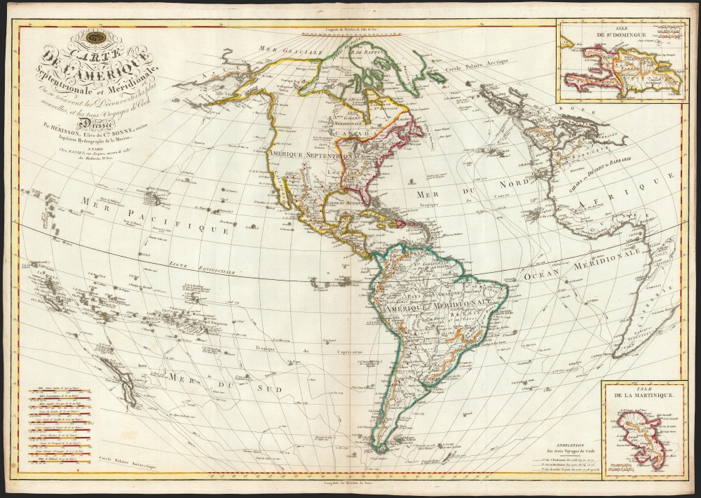
Carte de l'Amérique Septentrionale et Meridionale, ou se trouvent les Decouvertes les plus nouvelles, et les trois Voyages de Cook Dressée Par Hérisson, E lève du C.en Bonne, ancien Ingénieur Hydrographe de la Marine. A Paris, Chez Basset, rue Jacques, au coin de celle des Mathurins, No. 670.
sold
- Digital Map Information
- Suitable for large format printing
- DPI: 600
- File Size: 79.61 MB
- File Type: ZIP / TIFF
- ICC color profile embedded
- Delivered instantly via download link
This is a rare, elegant, and detailed map of America by Eustache Hérisson, in its 1795 first edition. In addition to the Western Hemisphere, Hérisson's work focuses on the three voyages of Captain James Cook - in particular, presenting the key results of his third and final journey to Hawaii, and his efforts to penetrate the Bering Straits. Cook's tracks through the Pacific and the Atlantic both are included. His journey through the South Pacific, its revelations of New Zealand, and the cipher presented by the as-yet undetected Antarctica are also made evident. (more details)
Bestiary of fantastical northern monsters.

Monstra marina et terrestria, quae passim in partibus aquilonis inveniuntir.
sold
- Digital Map Information
- Suitable for large format printing
- DPI: 600
- File Size: 32.12 MB
- File Type: ZIP / TIFF
- ICC color profile embedded
- Delivered instantly via download link
An attractive printing of what is often euphemistically referred to as Munster's Monsters, this is Sebastian Münster's bestiary of sea serpents and other astonishing monsters, some fictional, some real. The image first appeared in the expanded 1550 editions of Munster's Cosmographia, a work which for more than half a century provided the European literate layperson their best source of information about the world. Most of the beasts here are derived from a 1539 map of Scandinavia by Olaus Magnus. As fanciful as these creatures may appear, many depict factual creatures that Scandinavian sailors and whalemen occasionally encountered. Among the more recognizable beasts are various forms of whales with obvious blowholes, at least two enormous lobsters, a sea serpent (possibly an oarfish), the whale fish (white fish at center, an Orca), and something that might very well be a walrus. A pelican (letter R) is recognizably depicted, and it is described on the verso including part of its scientific name (Onocrotalus.) Of course, there are fictional sea monsters too, including a pig faced sea beast, apparently seen by sailors in 1537, and the Sea Buffalo, something that looks like a cross between a bull and a fish. (more details)
The Definitive Great Lakes Map of the 18th Century.
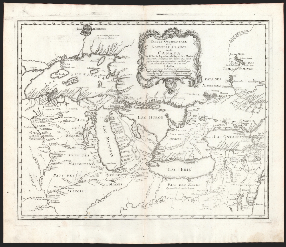
Partie Occidentale de la Nouvelle France ou du Canada.
sold
- Digital Map Information
- Suitable for large format printing
- DPI: 600
- File Size: 43.88 MB
- File Type: ZIP / TIFF
- ICC color profile embedded
- Delivered instantly via download link
An influential map of the Great Lakes, drawn in 1755 by Jacques Nicholas Bellin, and reengraved by Homann Heirs for inclusion in their 1755 Atlas Homannianus Mathematic-Historice Delineatus. It depicts all five of the Great Lakes as well as the adjacent Indian lands and the English colonies of Pennsylvania, New Jersey, and New York. (more details)
First European map to identify polities within the Malay Peninsula.
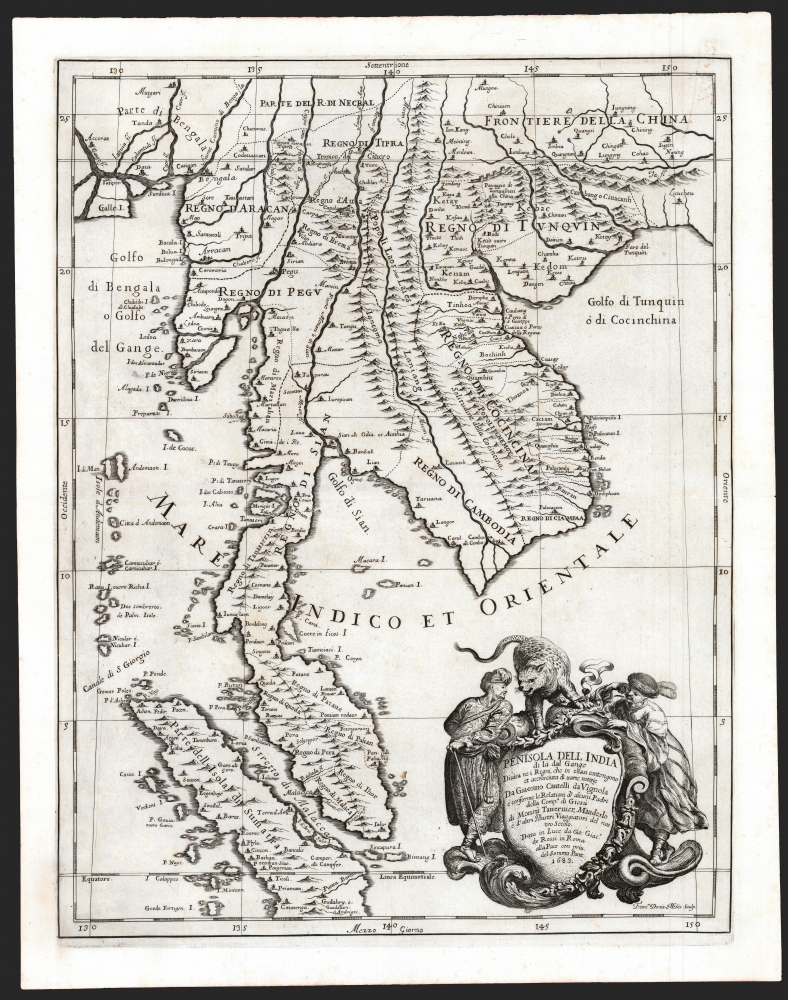
Penisola Dell India di la dal Gange Diusa ne i Regni, che in essasi contengono et accresciuta di varie notizie. Da Giacomo Cantelli da Vignola e conforme le Relationi di alcuni Padri della Compa di Giesu di Monsu Tavernier, Mandeslo e d`altri Illustri Viaggiatori del nostro Secolo . . . 1683.
sold
- Digital Map Information
- Suitable for large format printing
- DPI: 600
- File Size: 51.46 MB
- File Type: ZIP / TIFF
- ICC color profile embedded
- Delivered instantly via download link
A superb example of Giacomo Cantelli da Vignola's scarce, beautiful, and cartographically significant 1683 map of Southeast Asia. This is one of the first maps of Southeast Asia to incorporate independent polities in Malay based on new information from Johan Albrecht de Mandelslo, and to incorporate contemporaneous French travelers' reports of Vietnam. Centered on modern-day Bangkok (named, as is the capital at Ayyuthaya), the map embraces much of modern-day Thailand, all of Malaysia, Laos, Cambodia, and Vietnam, and parts of Burma, China, and Sumatra. Singapore is shown as an island. A large and dramatic cartouche demands attention in the lower right and features two Southeast Asian potentates in postures indicating no discomfiture whatever with the snarling leopard surmounting the cartouche. (more details)