
'The most perfect map of British Columbia which has thus far been placed before the Public.' - Kains
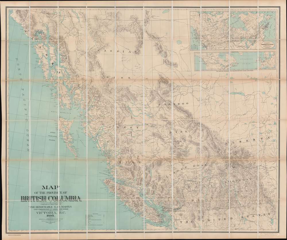
Map of the Province of British Columbia.
sold
- Digital Map Information
- Suitable for large format printing
- File Size: 86.29 MB
- File Type: ZIP / TIFF
- ICC color profile embedded
- Delivered instantly via download link
This is Gotfred Jörgensen's rare 1895 wall map of British Columbia, the 3rd official map of the province and the best to appear in the 19th century. Jörgensen's map represents a significant advancement over earlier regional maps, offering both greater size and more up-to-date detail. Thomas Kains, Surveyor General of British Columbia, rightly described 'the most perfect map of British Columbia which has thus far been placed before the Public.' (more details)
Dominant mapping of Poland of the 16th century.
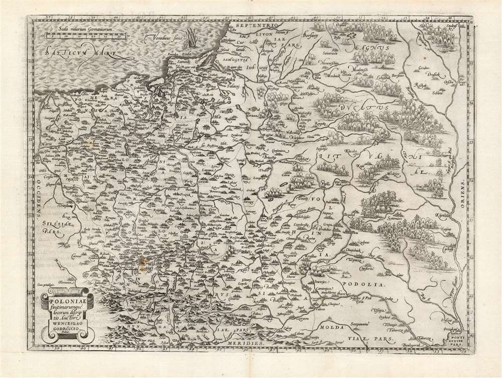
Poloniae finitimarumque locorum descriptio.
sold
- Digital Map Information
- Suitable for large format printing
- DPI: 600
- File Size: 46.51 MB
- File Type: ZIP / TIFF
- ICC color profile embedded
- Delivered instantly via download link
This is Abraham Ortelius' 1581 map of Poland, based on the c. 1556-58 Grodziecki. The map reaches from Szczecin and the Oder River in the west to the Dnieper River, thus embracing much of Ukraine as well as part of Russia and the Baltic. Mountains and forests are shown pictorially. (more details)
Help Pooh get home.

Winnie-the-Pooh Game.
sold
- Digital Map Information
- Suitable for large format printing
- File Size: 58.07 MB
- File Type: ZIP / TIFF
- ICC color profile embedded
- Delivered instantly via download link
This is a rare 1931 Stephen Slesinger, Inc. Winnie-the-Pooh board game map of the Hundred-Acre Wood. Winnie-the-Pooh and all his friends, Rabbit, Owl, Piglet, Eeyore, Kanga, and Roo all appear. (more details)
First edition of a rare Blaeu.
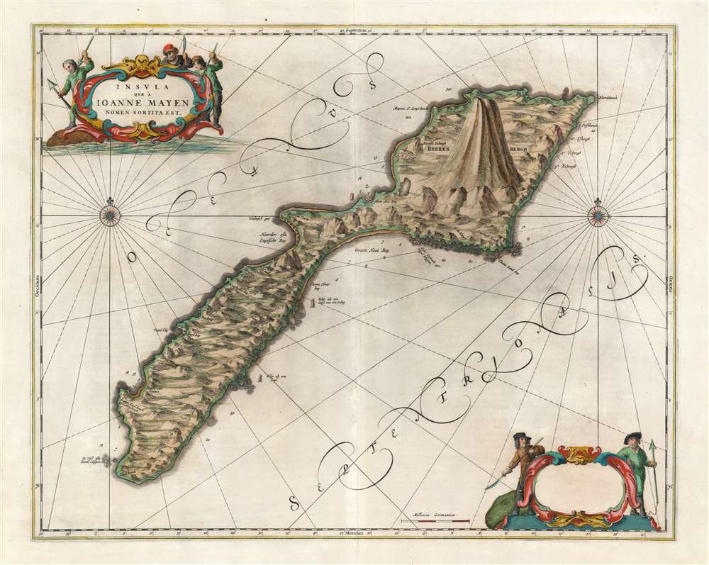
Insula quae à Joanne Mayen nomen sortita est.
sold
- Digital Map Information
- Suitable for large format printing
- DPI: 600
- File Size: 45.6 MB
- File Type: ZIP / TIFF
- ICC color profile embedded
- Delivered instantly via download link
This is a beautiful and rare original-color Dutch Golden Age 1659 Blaeu map of Jan Mayen, a volcanic island in the Arctic, and a possession of Norway. Having no permanent population, the island was primarily a whaling post, as witness the hapless cetaceans and harpoon-brandishing sailors in the superbly engraved cartouches. (more details)
The Russo-Swedish Deluge.
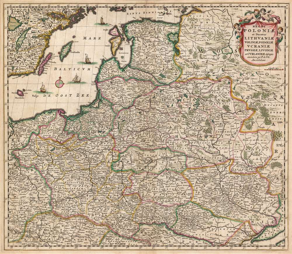
Regni Poloniae et Ducatus Lithuaniae Voliniae, Podoliae, Ucraniae, Prussiae, Livoniae, et Curlandiae descriptio emendata per F. de Wit Amstelodami.
sold
- Digital Map Information
- Suitable for large format printing
- DPI: 600
- File Size: 62.52 MB
- File Type: ZIP / TIFF
- ICC color profile embedded
- Delivered instantly via download link
This is a striking example of Frederik de Wit's 1680 map of the Kingdom of Poland and the Grand Duchy of Lithuania. The map spans from the Baltic Sea to the Black Sea, and from Latvia to Moldova, including much of modern-day Poland and Lithuania. (more details)
Before nationalization.
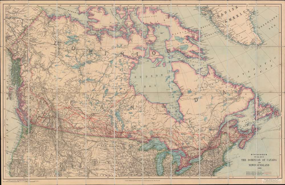
Stanford's General Map of the Dominion of Canada and Newfoundland.
sold
- Digital Map Information
- Suitable for large format printing
- Full resolution TIFF file
- ICC color profile embedded
- Delivered instantly via download link
This is a 1909 Edward Stanford case map of Canada. Red overprinting highlights railways across Canada, including the Grand Trunk Railway, the Grand Trunk Pacific Railway, and the Canadian Northern Railway. Published during an era of massive railroad construction, solid red lines illustrate rail lines already in operation, while dashed lines promote lines under construction and projected lines, and only some of the projected lines were actually built. Canadian rail lines operated within the United States, even owning their own track in the U.S. The boom in railroad construction eventually fell apart, with several of these railways becoming bankrupt and then being nationalized by the Canadian government into the Canadian National Railways between 1918 and 1923. (more details)
Two hundred years of European expeditions in Turkey.
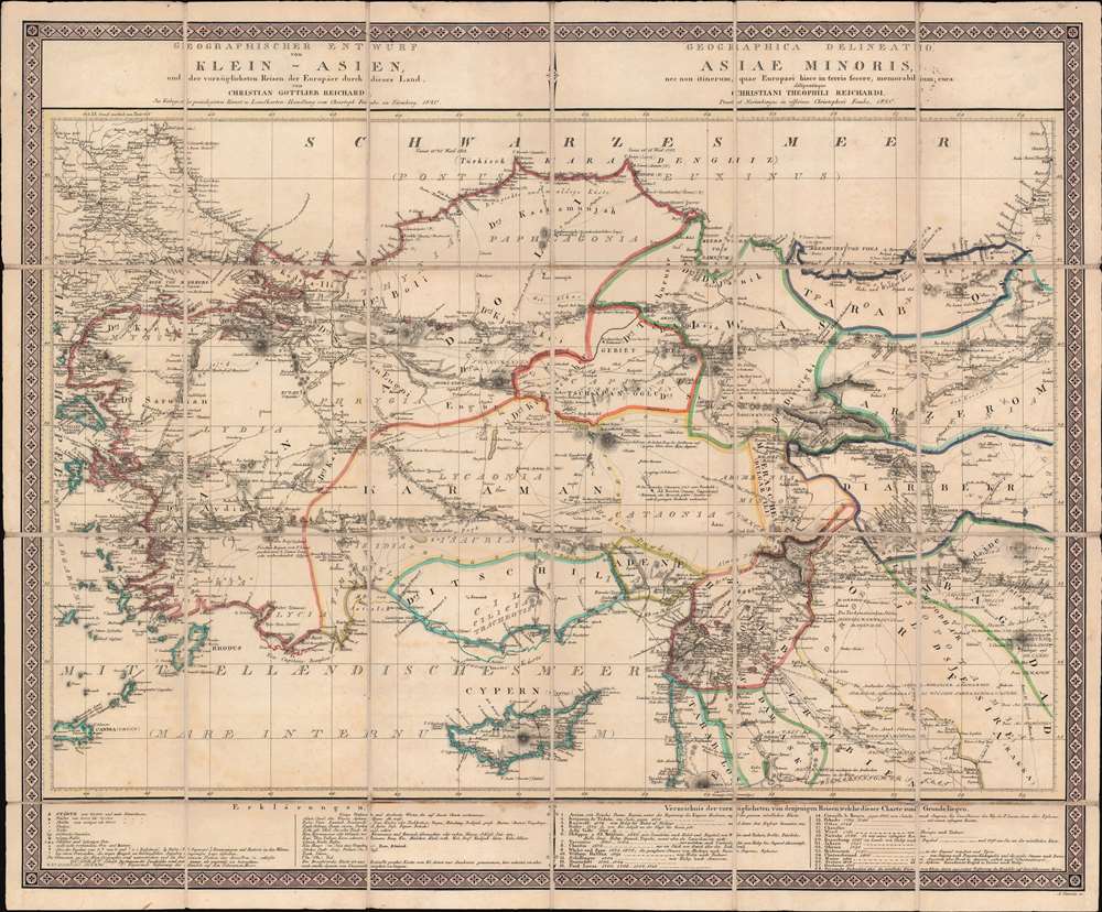
Geographischer Entwurf von Klein - Asien, und der vorzüglichsten Reisen der Europaer durch dieses Land.
sold
- Digital Map Information
- Suitable for large format printing
- DPI: 600
- File Size: 40.11 MB
- File Type: ZIP / TIFF
- ICC color profile embedded
- Delivered instantly via download link
This is an 1820 Christian Gottlieb Reichard case map of Turkey, created as a visual record of western explorations in the Ottoman Empire. Twenty-eight lines made up of patterns of dots, dashes, and other symbols, trace these expeditions. A table situated in the bottom right lists expeditions chronologically from 1570, providing the last name of the explorer and a description of their travels. (more details)
The Happiest Place on Earth?

Walt Disney's Magic Kingdom Disneyland, U.S.A. Anaheim, California.
sold
This is a 1964 Walt Disney Productions pictorial wall map of Disneyland. Published nine years after the park opened, banners highlight different parts of the park, such as Fantasyland, Frontierland, Adventureland, and Tomorrowland. Smaller text identifies attractions, including the Mad Tea Party, the Enchanted Tiki Room, Fantasyland Autopia, and the Jungle Cruise. Future attractions are also identified, such as the Haunted Mansion and the Pirates of the Caribbean. The railroad and the monorail both grab attention. The whole is surrounded by a border of Disney characters: Mickey Mouse, Donald Duck, Minnie Mouse, Alice from Alice in Wonderland, Peter Pan, Dumbo, and Bambi. (more details)
Edge of the Dolomites.
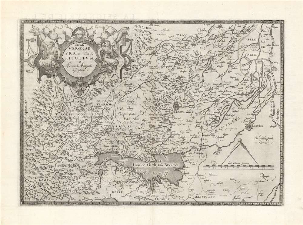
Veronae Urbis Territorium à Bernardo Brognoli.
sold
- Digital Map Information
- Suitable for large format printing
- DPI: 600
- File Size: 42.56 MB
- File Type: ZIP / TIFF
- ICC color profile embedded
- Delivered instantly via download link
This is Abraham Ortelius' 1581 map of Verona and vicinity, Italy, including Mantua, part of the Alps, and the Lago de Garda. The map is oriented to the east and the area's mountainous terrain is depicted pictorially. The strapwork cartouche is flanked by two Diana-like women blowing hunting horns and seated amongst copious produce. The whole is surmounted with the head of a vengeful deer. Ortelius credited this map to a Venetian, Bernardo Brognoli, who drew the map in 1564. Brognoli's map was first engraved and printed in 1574 by Forlani. (more details)
'One of the most expensive affairs of honor in history.'
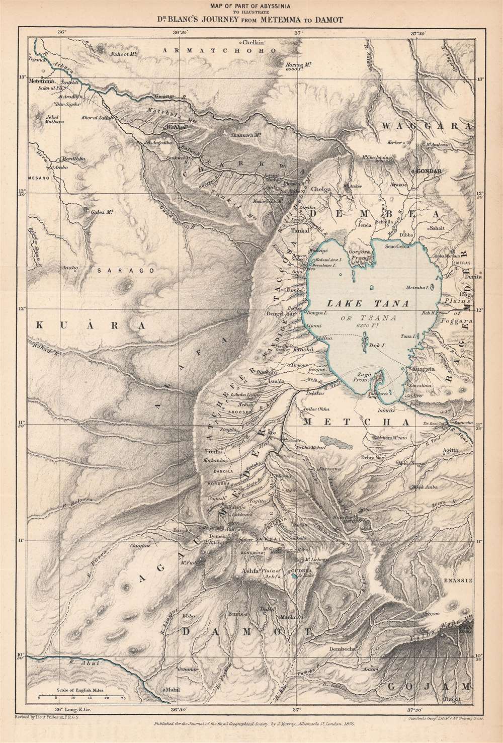
Map of Part of Abyssinia to Illustrate Dr. Blanc's Journey from Metemma to Damot.
$250.00
Acquire
- Digital Map Information
- Suitable for large format printing
- File Size: 7.51 MB
- File Type: ZIP / TIFF
- ICC color profile embedded
- Delivered instantly via download link
This is an 1870 Edward Stanford map of the Amara region of northwestern Abyssinia (Ethiopia) highlighting the route taken by Henry Blanc, one of the British subjects kidnapped by Ethiopian Emperor Tewodros II (r. 1855 - 1868), an act that prompted a punitive expedition by Great Britain in 1867 – 1868. (more details)
A beautiful part of North Carolina.
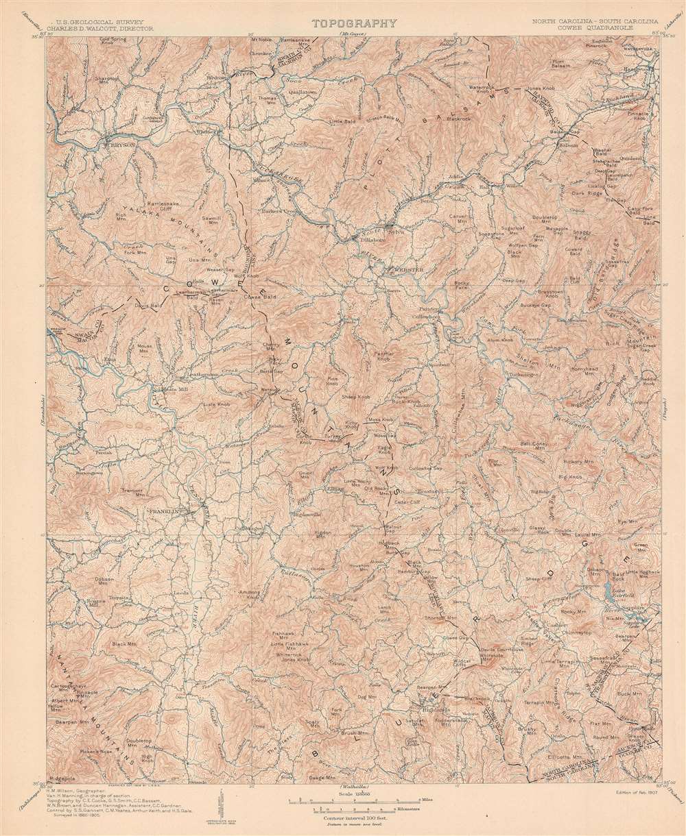
Topography. North Carolina - South Carolina. Cowee Quadrangle.
sold
- Digital Map Information
- Suitable for large format printing
- File Size: 24.64 MB
- File Type: ZIP / TIFF
- ICC color profile embedded
- Delivered instantly via download link
This is a 1907 U.S. Geological Survey topographic map of western North Carolina. Depicting from Bryson to Sapphire and from Waynesville to Highlands, contour lines present the region's topography in striking detail. Mountains throughout the area are identified and their elevations given. Creeks and rivers are illustrated. Towns and villages are labeled as well and dashed lines illustrate county borders. A small portion of Oconee County, South Carolina occupies the bottom right corner. (more details)
Early view of Denver Colorado by Alfred Edward Mathews.
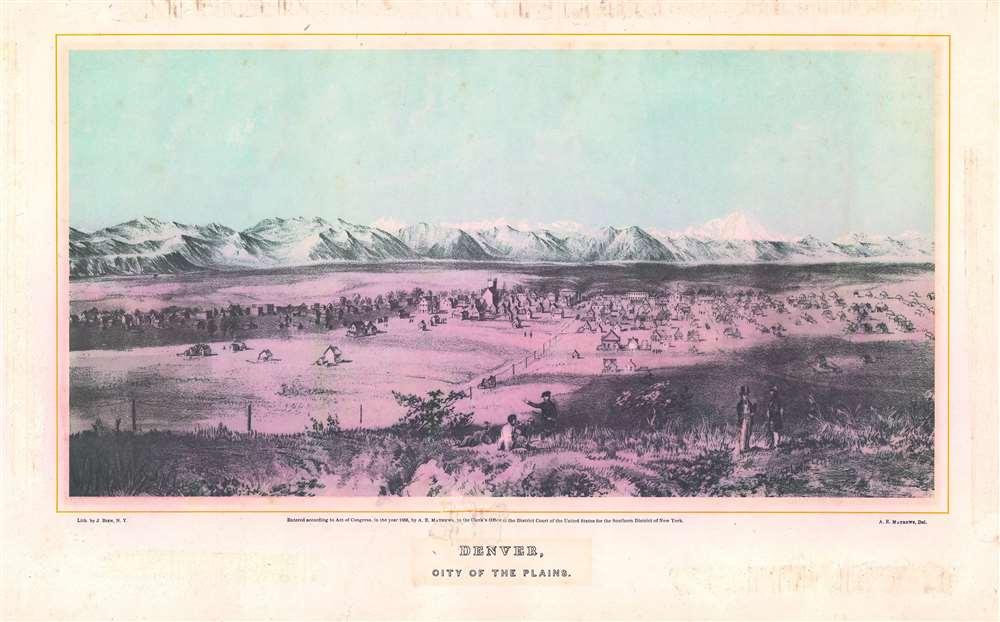
Denver, City of the Plains.
sold
- Digital Map Information
- Suitable for large format printing
- File Size: 14.28 MB
- File Type: ZIP / TIFF
- ICC color profile embedded
- Delivered instantly via download link
This is an important Alfred Edward Mathews 1866 bird's-eye view of Denver, Colorado. The view includes the then separate towns of Auraria and Denver as seen from a hill about one mile east of the South Platte River looking west towards modern-day downtown. Although the South Platte itself is not obvious, we can recognize it from the narrow band of development on both sides of the river. The tall building at center is probably the Methodist Church constructed in 1864 at 14th Street and Lawrence. A road extends from the foreground into the center of the city and is consistent with modern day 15th or 16th Street. Shooting an arrow along this road into the background leads, some 60 miles distant, directly to Longs Peak. Pikes Peak may be on the far left, but we are not 100% confident in our identification. The bluff in the foreground from which the view was drawn, is most likely somewhere in the vicinity of the modern-day capital. (more details)
World map from the earliest moments in Japan's modernization.

萬國地球圖 : 全 / [Complete Map of the Globe].
sold
- Digital Map Information
- Suitable for large format printing
- DPI: 600
- File Size: 17.53 MB
- File Type: ZIP / TIFF
- ICC color profile embedded
- Delivered instantly via download link
This is a rare c. 1853 world map by Mineta Fūkō and Hashimoto Sadahide produced at roughly the same time that Japan was thrown open to outside influences as a result of American 'gunboat diplomacy.' It reflects Japanese geographic knowledge on the boundary between two eras, the end of Japan's self-imposed semi-isolation and the beginning of its rapid engagement with the outside world. (more details)
Can you spot both Liberty and Ellis Island?

Panoramic View of New York City and Vicinity.
sold
- Digital Map Information
- Suitable for large format printing
- Full resolution TIFF file
- ICC color profile embedded
- Delivered instantly via download link
This is a scarce 1912 William Adickes bird's-eye view map of New York City and vicinity. Manhattan appears at center, with Brooklyn and Queens to the right continuing as far as Hicksville and Cold Spring Harbor and New Jersey to the left as far as Orange. Bridges traverse both the East River and the Hudson River, and boat traffic moves up and down both rivers and throughout the bay. Both Liberty Island with the Statue of Liberty and Ellis Island are illustrated and labeled. Coney Island and Rockaway Beach are both identified. (more details)
Rare Imprint of a Beautiful Map of the Middle East.
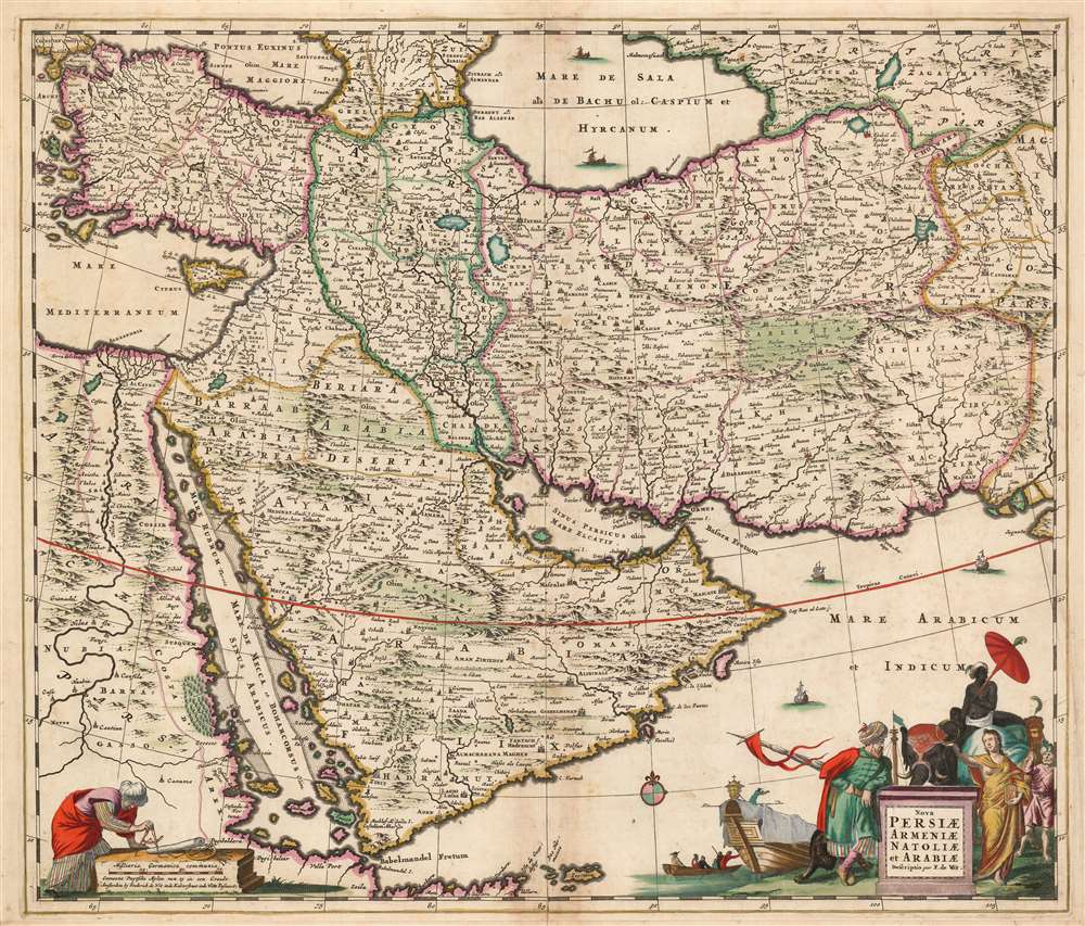
Nova Persiae Armeniae Natoliae et Arabiae Descriptio per F. de Wit.
sold
- Digital Map Information
- Suitable for large format printing
- DPI: 600
- File Size: 32.92 MB
- File Type: ZIP / TIFF
- ICC color profile embedded
- Delivered instantly via download link
This beautifully engraved and colored map is Frederick de Wit's 1659 map of the Middle East. Tibbets described this map as 'the largest scale map of the area until 1700' and 'the most useful until D’Anville’s map of 1751'. Coverage extends from Constantinople and the Nile River Valley in the west, to the mouth of the Indus River in the east, and from the Black Sea and the Caspian Sea in the north to the southern tip of the Arabian Peninsula. It is centered on the Persian Empire but includes the whole of the Arabian Peninsula and Asia Minor. The Caspian Sea appears in a distorted, elongated shape which may have been a conflation of both the Caspian and the neighboring Aral Sea. (more details)
Original-color. Proof state.
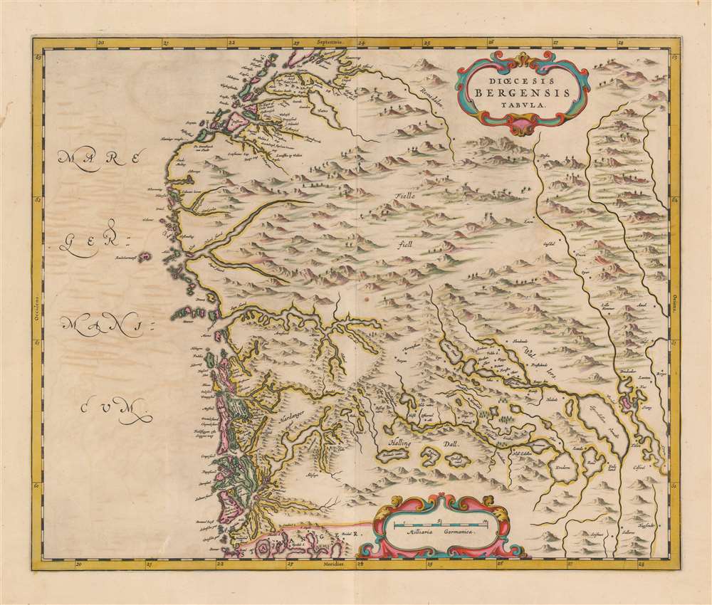
Dioecesis Bergensis Tabula.
sold
- Digital Map Information
- Suitable for large format printing
- DPI: 600
- File Size: 47.19 MB
- File Type: ZIP / TIFF
- ICC color profile embedded
- Delivered instantly via download link
This is a beautiful example of the 1659 proof state of Joan Blaeu's map of the Diocese of Bergen, Norway - encompassing the newly-formed county of Vestland. It is among the scarcest of Blaeu's maps, appearing in a sole edition of the Novuus Atlas and subsequently in the Atlas Maior. Engraved at the height of Blaeu's career, with superbly executed pictorial mountains evoking the mountainous terrain of Norway's fjord country (more details)
America to the rescue!

Etats-Unis. 'Nous sommes frères dans la même cause' (Woodrow Wilson).
sold
- Digital Map Information
- Suitable for large format printing
- File Size: 40.93 MB
- File Type: ZIP / TIFF
- ICC color profile embedded
- Delivered instantly via download link
This is a c. 1917 G. Delattre World War I French propaganda map of the United States. The map celebrates American declaration of war just weeks after the event. France and the other Entente powers had been fighting Germany and the Central Powers since August 1914. The French suffered greatly during these nearly three years. Nearly one million were killed and tens of thousands wounded. Large sections of France's industrial northeast were destroyed or occupied by the static trench war. (more details)
Celebrating the newly acquired empire after the Spanish-American War.
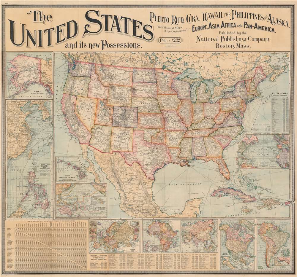
The United States and its new Possessions. Puerto Rico, Cuba, Hawaii, the Philippines and Alaska, With General Maps of the Continents of Europe, Asia, Africa, and Pan-America.
sold
- Digital Map Information
- Suitable for large format printing
- Full resolution TIFF file
- ICC color profile embedded
- Delivered instantly via download link
This is an 1899 National Publishing Company wall map of the United States published shortly after the Spanish-American War. The map of the United States dominates the sheet, with the country's railroad network, river systems, and mountain ranges all appearing. However, given the recent victory over Spain during the war and the acquisition of Puerto Rico, the Philippines, and Guam, along with Cuba as a protectorate, the Caribbean islands and the insets likely would have commanded just as much, if not more, attention from a contemporary audience. Dashed lines trace Plant Steamship Lines and Florida East Coast Steam Ship Lines routes in the Caribbean from Florida, informing viewers how Americans could visit their newly acquired overseas 'empire'. Cuba's rail network is illustrated as well. (more details)
Western United States just after the Mexican-American War.
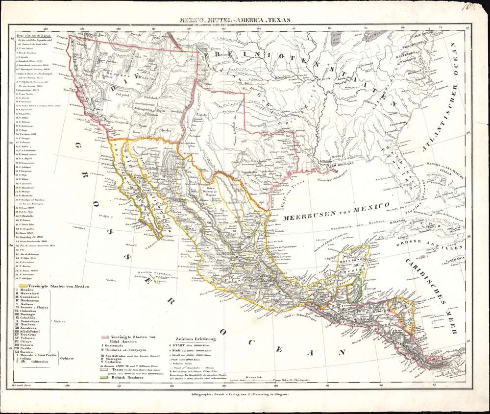
Mexico, Mittel-America, Texas.
sold
- Digital Map Information
- Suitable for large format printing
- DPI: 600
- File Size: 9.33 MB
- File Type: ZIP / TIFF
- ICC color profile embedded
- Delivered instantly via download link
This is a c. 1848 Carl Flemming map of the United States, Mexico, and Central America. Published shortly after the Mexican American War, Flemming highlights the Mexican Cession, acquired by the United States after the Mexican-American War. Texas is also emphasized with borders are at their largest incarnation. (more details)
The earliest map of the North Pacific published in the American Republic.
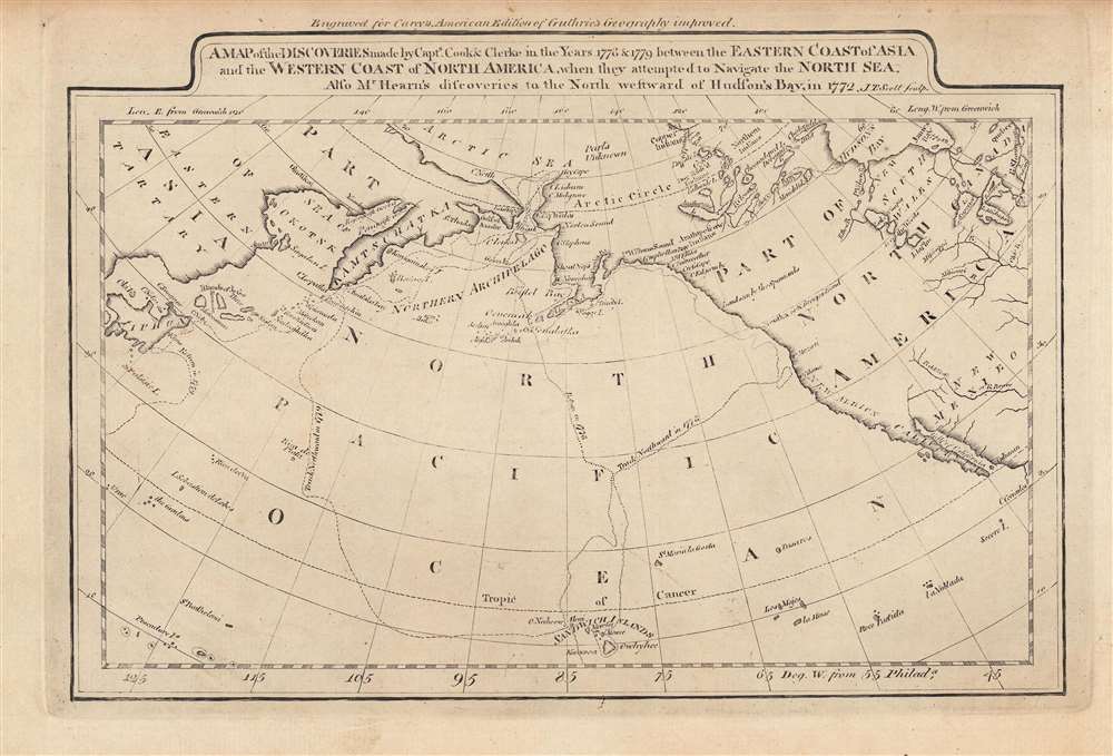
A map of the discoveries made by Capts. Cook and Clerke in the years 1778 and 1779...
sold
- Digital Map Information
- Suitable for large format printing
- DPI: 600
- File Size: 4.92 MB
- File Type: ZIP / TIFF
- ICC color profile embedded
- Delivered instantly via download link
This is a rare c. 1795 map of the northern Pacific Ocean from Carey's General Atlas, the first atlas published in the new American Republic. It highlights the three Pacific voyages of Captain James Cook and the overland route from Hudson's Bay to the Artic Ocean, 'discovered,' with critical help from indigenous guides, by Samuel Hearne. (more details)