
'The Dogs of War are loose in Europe!' - Emanuel

Alerte! les Chiens Aboient! / [Hark! Hark! The Dogs Do Bark!]
sold
- Digital Map Information
- Suitable for large format printing
- File Size: 30.92 MB
- File Type: ZIP / TIFF
- ICC color profile embedded
- Delivered instantly via download link
An uncommon French edition of an iconic 1914 serio-comic satirical map by Johnson, Riddle, and Company issued shortly after the outbreak of World War I (1914 - 1918). (more details)
Hungary in the consolidated Austrian Empire.
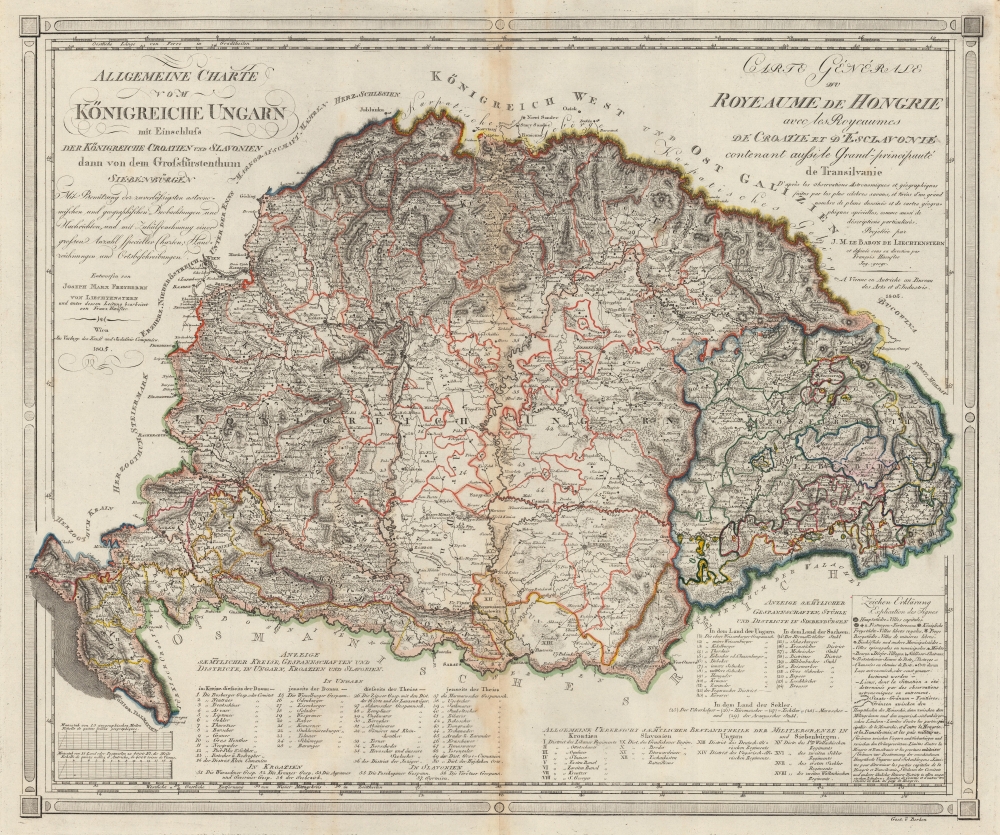
Allgemeine Charte vom Königreiche Ungarn mit Einschluss der Königreiche Croatien und Slavonien dann vom dem Grossfüstenthum Siebenbürgen. / Carte Générale du Royeaume de Hongrie avec les Royeaumes de Croatie et d'Esclavonie contenant aussi le Grand-principauté de Tansilvanie.
sold
- Digital Map Information
- Suitable for large format printing
- File Size: 34.84 MB
- File Type: ZIP / TIFF
- ICC color profile embedded
- Delivered instantly via download link
This is an 1805 Joseph Marx von Liechtenstern map of the Kingdom of Hungary and the Grand Principality of Transylvania. The map and the rare Kipferling atlas it was published in were issued as a celebration and administrative tool for the consolidated Austrian Empire, declared in reaction to Napoleon's First French Empire during the Napoleonic Wars (1803 - 1815). (more details)
Mid-Century Pictorial Map of the Golden State.
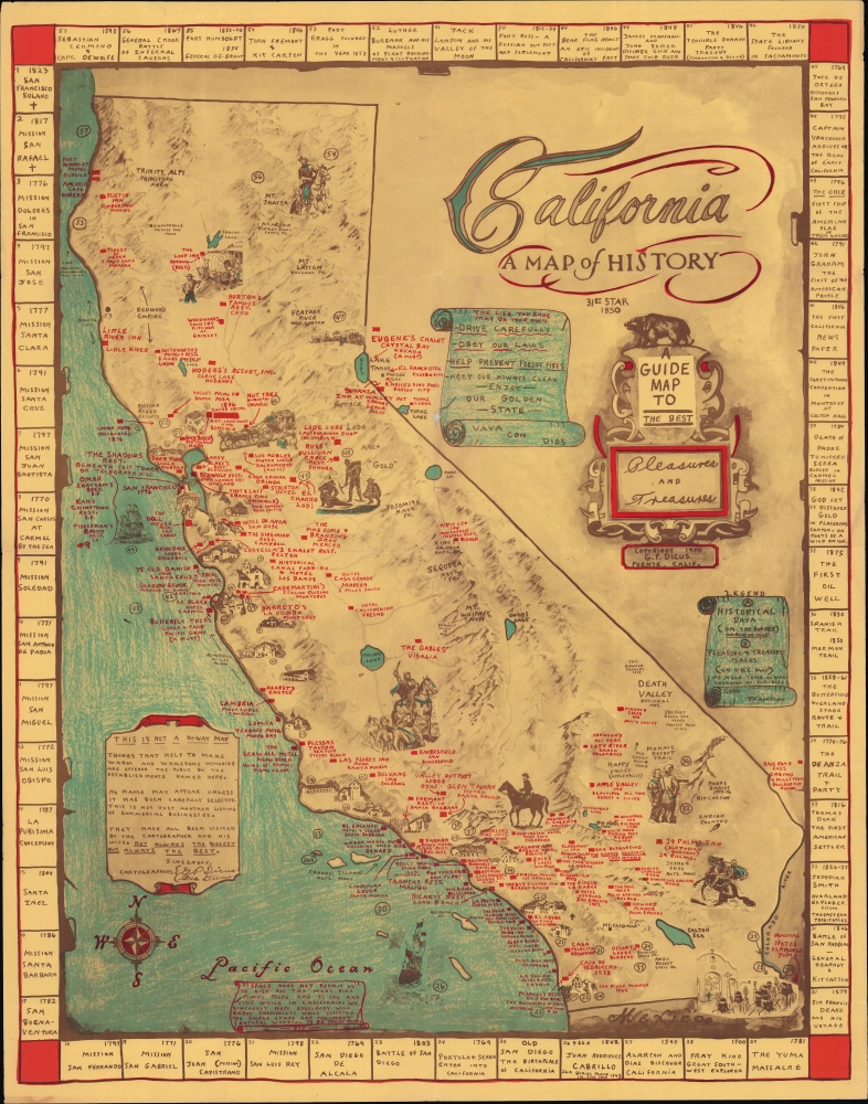
California A Map of History / A Guide Map to the Best Pleasures and Treasures.
sold
A scarce and charming 1954 historical pictorial map of California by Garner Parker Dicus and Bea Dicus, geared towards tourists and visitors. It cleverly doubles as a promotional map for inns, hotels, restaurants, cafes, taverns, resorts, and more. (more details)
Seaside Resort and Final Resting Place of Roman Elites.
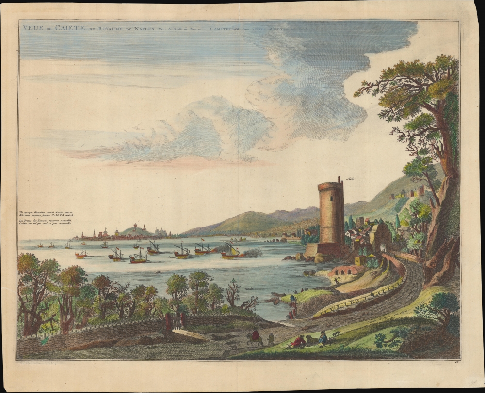
Veue de Caiete du Royaume de Naples. vers le Golfe de Venise.
$500.00
Acquire
- Digital Map Information
- Suitable for large format printing
- File Size: 21.94 MB
- File Type: ZIP / TIFF
- ICC color profile embedded
- Delivered instantly via download link
A lovely c. 1704 view of Gaeta, Italy, originally prepared by Johannes Blaeu in 1663 for the Theatrum Civitatum et Admirandorum Italiæ and reissued with minor changes by Pierre Mortier for his Nouveau Theatre d'Italie. (more details)
German Immigration to Texas - slavery content.

[Wuppermann Texas Immigrant Archive.]
sold
This is a unique manuscript and typescript archive covering the experiences of the German Wuppermann family's immigration to Texas from roughly 1857 to 1865. It is told from the perspective of Klara Anna Laura Tafel (née Wuppermann; 1851 - 1946), a young girl at the time of the recorded events. Work includes references to the harshness of frontier life, slavery (the Wuppermanns owned two slaves), the American Civil War, and anti-German prejudice at the hands of the Know-Nothings. (more details)
'One of the great American World Wall maps of the period.' - Rumsey.
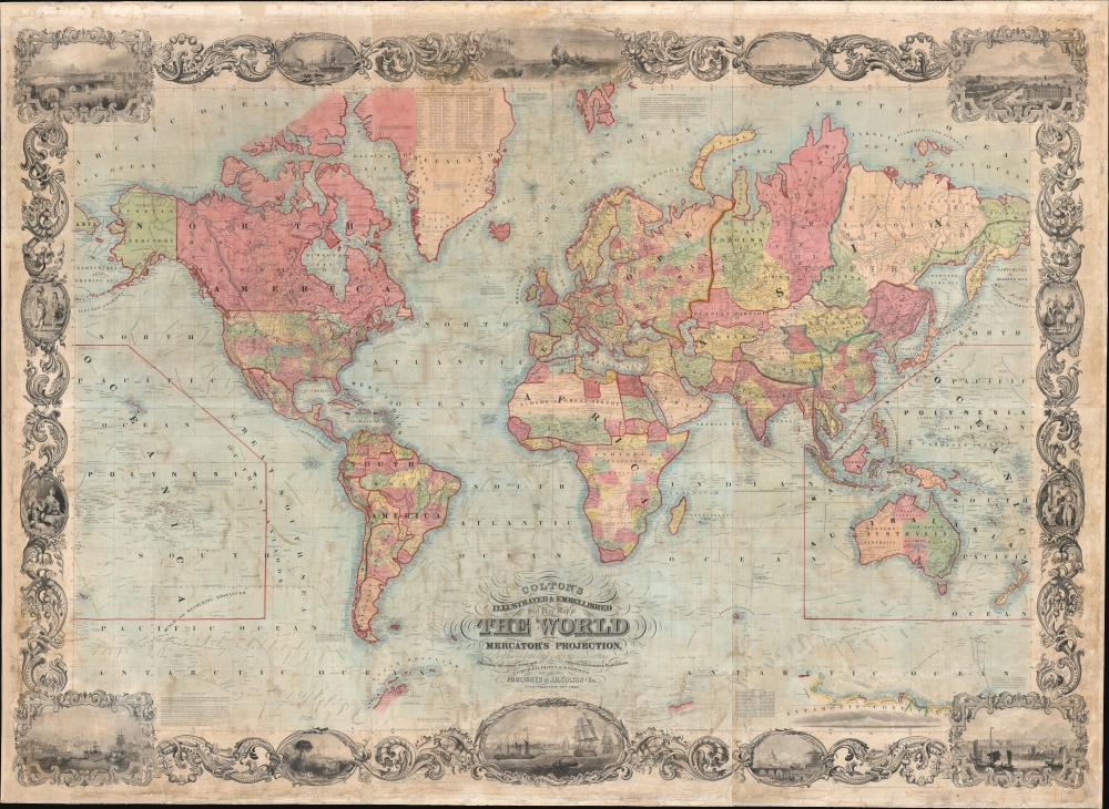
Colton's Illustrated and Embellished Steel Plate Map of The World on Mercator's Projection, Compiled from the latest and most Authentic Sources Exhibiting the recent Arctic and Antarctic Discoveries and Explorations.
sold
- Digital Map Information
- Suitable for large format printing
- File Size: 610.43 MB
- File Type: ZIP / TIFF
- ICC color profile embedded
- Delivered instantly via download link
This is D. Griffing Johnson and J. H. Colton's massive 1856 wall map of the world, considered 'one of the great American wall maps' (Rumsey). It is one of the largest and finest examples of American steel-plate engraving - a printing style that briefly surged in popularity under makers like Colton and Johnson, before being supplanted by lithography in the mid-19th century. (more details)
Baroque Masterpiece in the Mapping of America.
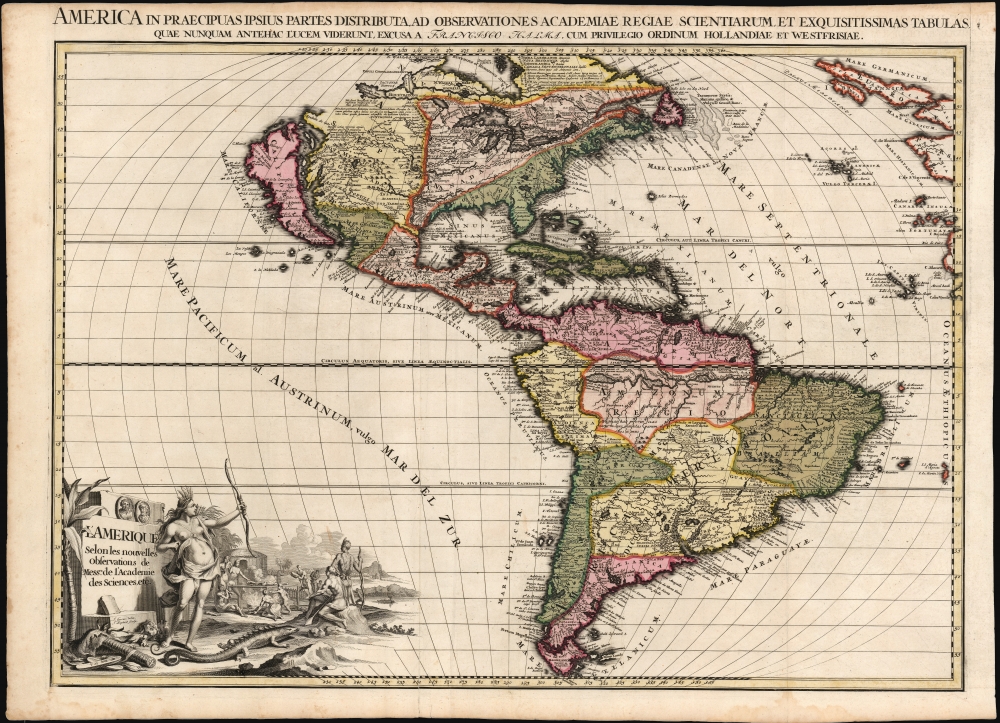
L'Amerique selon les Nouvelles Observations de Messrs. de l'Academie des Science, etc./ America in Praecipuas ipsius Partes Distributa, ad Observationes Academiae Regiae Scientiarum, et Exquisitissimas Tabulas, quae nunquam Antehac Lucem Viderunt, Excusa A Francisco Halma, Cum privilegio Ordinum Hollandiae et Westfrisiae.
$6,000.00
Acquire
- Digital Map Information
- Suitable for large format printing
- Full resolution TIFF file
- ICC color profile embedded
- Delivered instantly via download link
This is the rare first state of François Halma's c. 1699 separately-issued map of America. Its unusually large folio size, bold and sophisticated engraving, and rich original color set this map apart as one of the most beautiful late-17th-century maps of the Americas available to the collector. It dramatically presents some of the most notable geographic ideas of its era, including a prominent insular California after the Sanson model. The Great Lakes and the course of the Mississippi, as well as the rest of the American coastline, closely resembles that of Nicolas de Fer's 1699 L'Amerique. (more details)
Created by the French Service Géographique de l'Armée for French forces being sent to China to put down the Boxer Rebellion.
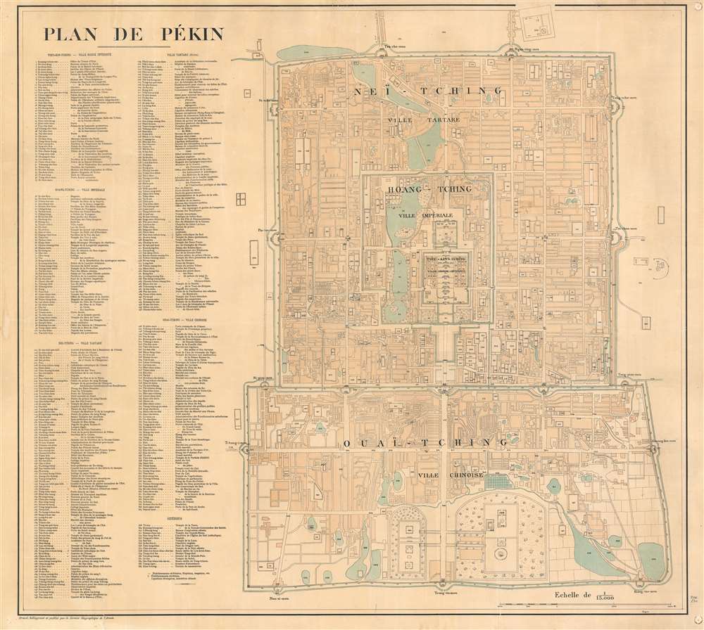
Plan de Pékin.
sold
- Digital Map Information
- Suitable for large format printing
- Full resolution TIFF file
- ICC color profile embedded
- Delivered instantly via download link
This is a 1900 Service Géographique de l'Armée city plan or map of Beijing / Peking, China, created for French soldiers sent to China as part of the Expeditionary Force to suppress the Boxer Rebellion. (more details)
Best map of New England to date.

A New Plan of New England According to the Latest Observations 1720.
sold
- Digital Map Information
- Suitable for large format printing
- DPI: 300
- File Size: 4.3 MB
- File Type: ZIP / TIFF
- ICC color profile embedded
- Delivered instantly via download link
This is Daniel Neal's important and scarce 1720 map of New England. It represents the best mapping of New England to date and earned Neal an honorary degree from Harvard. (more details)
Highly decorative map of America.
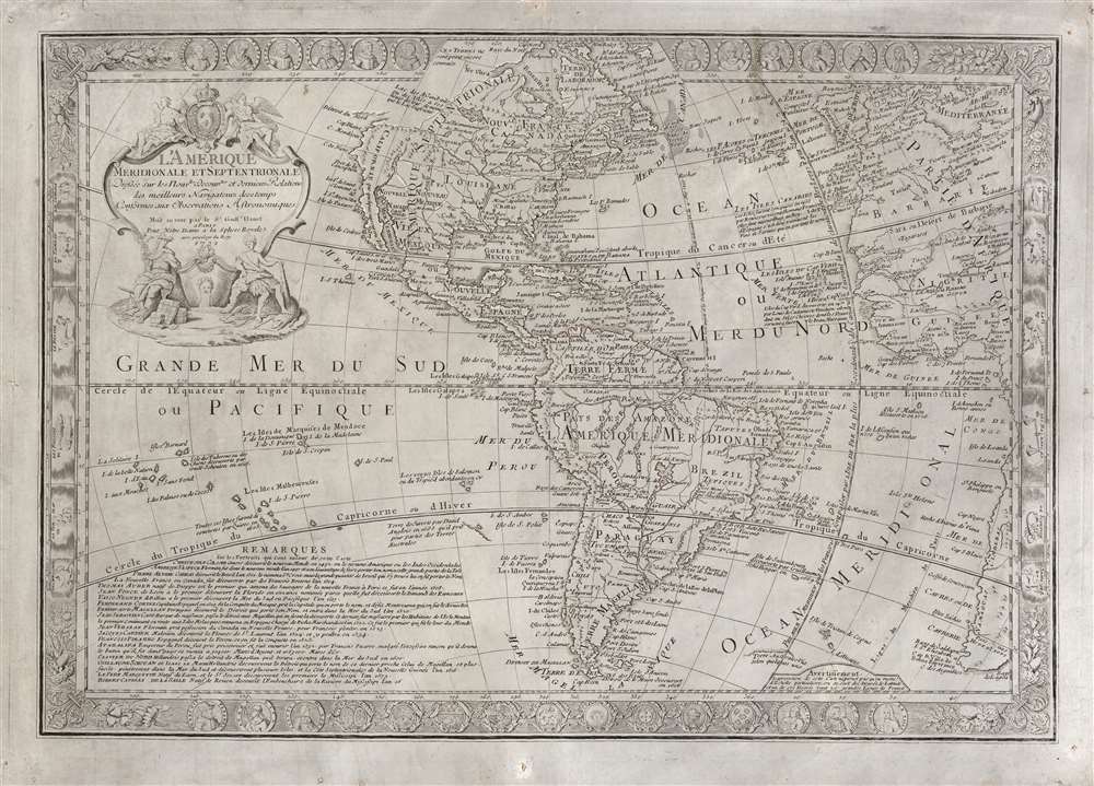
L'Amérique Méridionale et Septentrionale dressée sur les Nouv.les Decouv.tes et Dernieres Relations des Meilleurs Navigateurs decetemps Conformes aux Observations Astronomiques.
$2,000.00
Acquire
- Digital Map Information
- Suitable for large format printing
- DPI: 600
- File Size: 103.61 MB
- File Type: ZIP / TIFF
- ICC color profile embedded
- Delivered instantly via download link
This is a scarce, separately-issued 1731 Guillaume Danet map of America. The map combines the cartographic innovation of Guillaume De L'Isle with the decorative flourishes of Nicholas De Fer. (more details)
Everything about America of interest to the Dutchman.
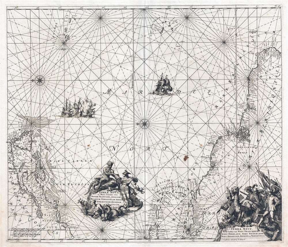
Terra Nova ac Maris Tractus circa Novam Franciam, Angliam, Belgium, Venezuelam Novam Andalusium, Guianam, Brasiliam. / Terra Neuf en de Custen van Nieu Vranckryck, Nieu Engeland, Nieu Nederland, Nieu Andalusia, Guiana en Venezuela.
sold
- Digital Map Information
- Suitable for large format printing
- DPI: 300
- File Size: 14.9 MB
- File Type: ZIP / TIFF
- ICC color profile embedded
- Delivered instantly via download link
A stunning example of the 1715 L. Renard edition of Frederick de Wit's map of the western Atlantic. The map illustrates the full scope of Dutch interest in the Americans, covering from Newfoundland to Brazil, including New York, New England, the eastern West Indies, and northeastern South America. By the time Renard reissued the map in 1715, the Dutch had long since surrendered control of New York to the British. Nonetheless, the longevity and popularity of this map among Dutch publisher is ample evidence of lingering ambitions to regain their American colonies. (more details)
Spain shores up its colonies.
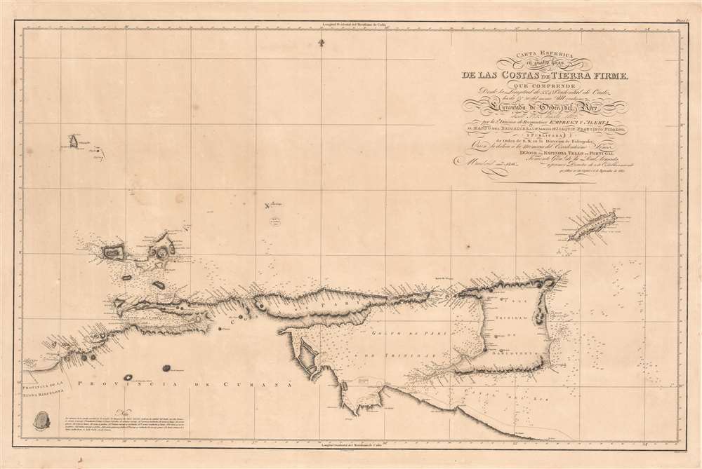
Carta Esferica en quatro hojas de las Costas de Tierra Firme.
sold
- Digital Map Information
- Suitable for large format printing
- Full resolution TIFF file
- ICC color profile embedded
- Delivered instantly via download link
This is a rare 1816 Dirección de Hidrografía chart of what is now northern Venezuela and the island nation of Trinidad and Tobago. It is the product of an effort by the Spanish to better understand the coasts of their waning empire at the end of the 18th century, resulting in charts markedly improved over their predecessors. (more details)
Rhode Island's Tercentenary.
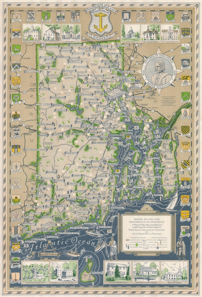
Rhode Island and Providence Plantations A Pictorial Map Showing Historical and Present Day Points of Interest.
sold
- Digital Map Information
- Suitable for large format printing
- File Size: 17.42 MB
- File Type: ZIP / TIFF
- ICC color profile embedded
- Delivered instantly via download link
An extremely scarce 1936 Phillips D. Booth pictorial map of Rhode Island, offering a compelling portrait of the state on its tercentenary. (more details)
Visit Paris' many incredible monuments.

Nouveau Paris Monumental. Itinéraire Pratique de l'Étranger dans Paris. / Monuments et Vues des Environs de Paris.
sold
- Digital Map Information
- Suitable for large format printing
- Full resolution TIFF file
- ICC color profile embedded
- Delivered instantly via download link
This is a c. 1948 A. Leconte pictorial map of Paris, France. Paris' spectacular monuments are illustrated, with chateaus, churches, and cathedrals rendered on the verso. (more details)
Scottish history.

Historical Map of Scotland.
sold
This is a c. 1962 Leslie Bullock pictorial historical map of Scotland. Bullock highlights events in Scottish history and marks castles, cathedrals, and other historic sites. (more details)
Drive and explore post-war Florida thanks to Texaco!

Texaco Touring Map of Florida South Carolina.
sold
- Digital Map Information
- Suitable for large format printing
- File Size: 55.52 MB
- File Type: ZIP / TIFF
- ICC color profile embedded
- Delivered instantly via download link
This is a c. 1948 Rand McNally road map of Florida and South Carolina. (more details)
Pre-invasion manuscript planning map of Guadalcanal - a decisive WWII battle.
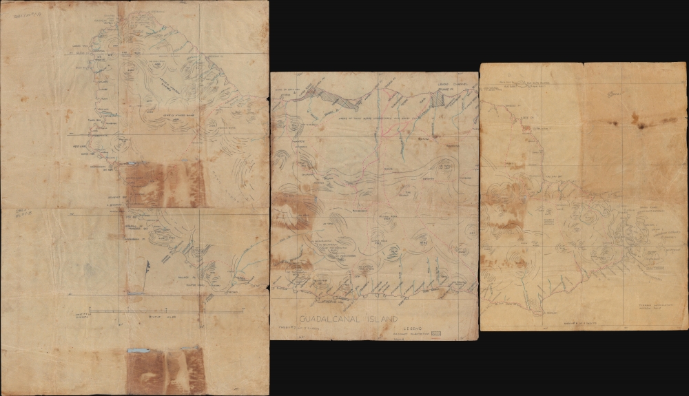
Guadalcanal Island.
sold
- Digital Map Information
- Suitable for large format printing
- Full resolution TIFF file
- ICC color profile embedded
- Delivered instantly via download link
This is a 1942 four-sheet manuscript World War II map of Guadalcanal, Solomon Islands, prepared ship-board in anticipation of the decisive August 7, 1942, landing on Guadalcanal that began the Guadalcanal Campaign. It is one of the few surviving maps from the ad hoc Marine effort to gather critical reconnaissance on Guadalcanal days before the impending invasion. It is thus unique record of one of the most decisive and pivotal battles in the World War II (1939 - 1945) Pacific Theater. (more details)
Greatest Scenic Route in the World.

Map of the Denver and Rio Grande Railroad System. / The Geography of Colorado and Rocky Mountain Regions with Map.
sold
- Digital Map Information
- Suitable for large format printing
- Full resolution TIFF file
- ICC color profile embedded
- Delivered instantly via download link
This is an 1895 Alfred Shepard and Shadrach Hooper map of Colorado highlighting the Denver and Rio Grande Railroad. Published in conjunction with a National Educational Association conference in Denver, the map encourages conventioneers to use the railroad to visit Colorado's Rocky Mountains. (more details)
California as an Island and the apocryphal inland rivers of Lahontan.
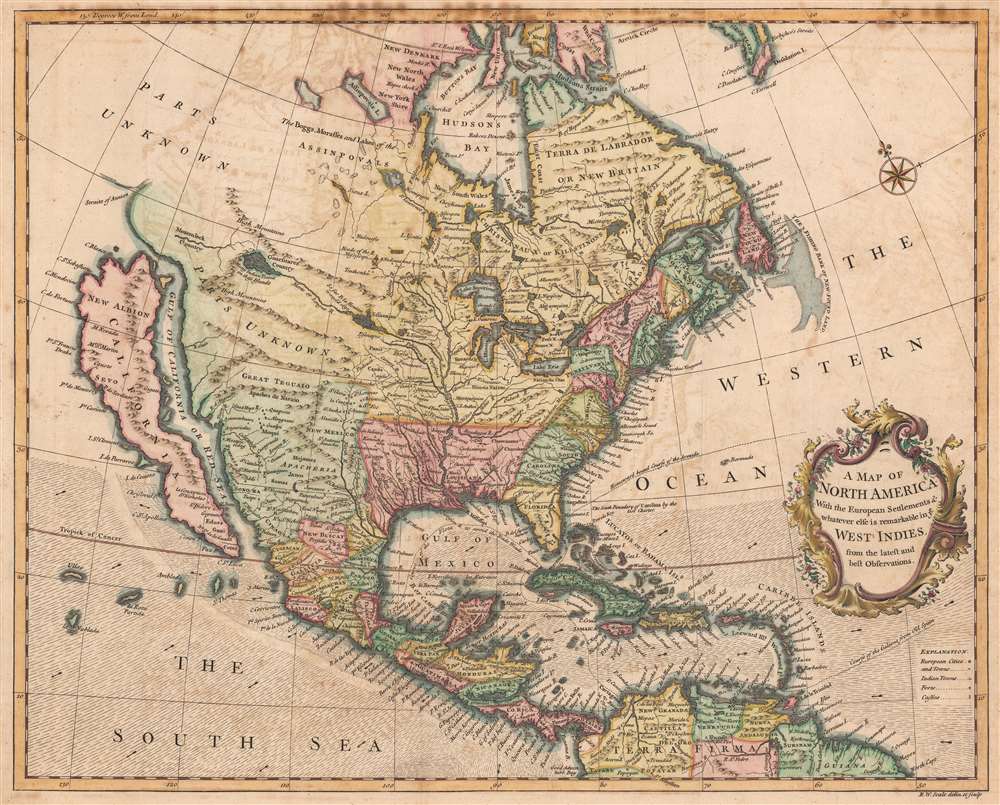
A Map of North America With the European Settlements and whatever else is remarkable in ye West Indies from the latest and best Observations.
sold
- Digital Map Information
- Suitable for large format printing
- DPI: 600
- File Size: 39.36 MB
- File Type: ZIP / TIFF
- ICC color profile embedded
- Delivered instantly via download link
An uncommon 1745 by Richard W. Seale map of North America with California as an island. The map offers much of interest, including a fascinating mapping of the sources of the Mississippi River, California as an island, and the apocryphal geography of the Baron Lahontan. (more details)
Ephemeral state of Franklin!
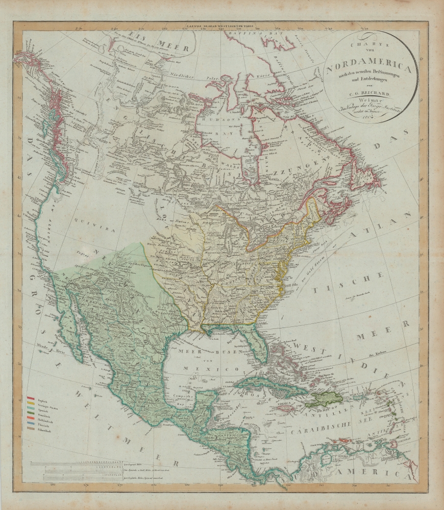
Charte von Nord America nach en neuesten Bestimmungen und Entdeckungen.
sold
- Digital Map Information
- Suitable for large format printing
- DPI: 600
- File Size: 78.19 MB
- File Type: ZIP / TIFF
- ICC color profile embedded
- Delivered instantly via download link
A fascinating 1804 map of North America by C. G. Reichard that includes the ephemeral 'lost state' of Franklin. The map embraces all of North America from Baffin Bay and Cook's Inlet (Alaska) to Panama and the Spanish Main, including all of the modern-day United States, Canada, Mexico, West Indies, and Central America. (more details)