
NEW ACQUISITIONS
Mao consolidates his base before the Long March.

Aufnahmen am Fu-Kiang und Kan-Kiang in der Provinz Kaing-Si.
$1,300.00
Acquire
- Digital Map Information
- Suitable for large format printing
- Full resolution TIFF file
- ICC color profile embedded
- Delivered instantly via download link
This is an intriguing four-part map of Jiangxi Province, China, by the German geographer Georg Wegener. When this map was issued, the mountains around Jiangxi were the base where Mao and the People's Liberation Army consolidated before moving on to the rest of China. The map focuses on the Gan River (贛江 Ganjiang, or, as in the title, Kan-Kiang) and its tributaries, which flow into Poyang Lake (鄱陽湖) and the Yangtze River near Nanchang. (more details)
Influential and Entertaining.
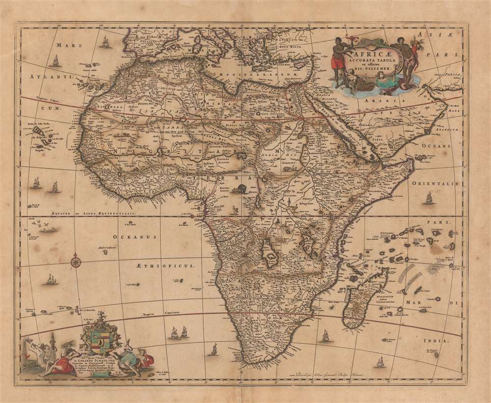
Africae Accurata Tabula ex officina Nic. Visscher.
$1,000.00
Acquire
- Digital Map Information
- Suitable for large format printing
- DPI: 600
- File Size: 23.01 MB
- File Type: ZIP / TIFF
- ICC color profile embedded
- Delivered instantly via download link
This is a c. 1677 second state example of Nicolas Visscher's 1658 map of Africa. It is beautifully decorated, with lively cartouches (see below), eleven ships, a brace of flying fish, and a whale. Visscher's superb engraving affords a superabundance of detail, which reveals a contrast between a strong understanding of Africa's coastal regions and a profound ignorance of the interior. (more details)
Magnificent chart with masterful engraving.
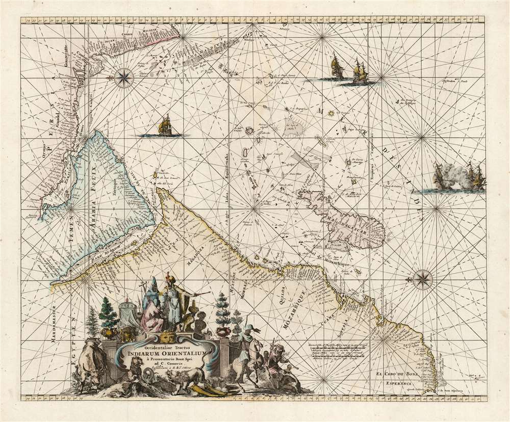
Occidentalior Tractus Indiarum Orientalium à Promontorio Bonae Spei ad C. Comorin.
$825.00
Acquire
- Digital Map Information
- Suitable for large format printing
- DPI: 600
- File Size: 24.08 MB
- File Type: ZIP / TIFF
- ICC color profile embedded
- Delivered instantly via download link
This is Frederic De Wit's map of Africa, Arabia, and part of India, in a handsome example of its scarce 1745 edition printed by Renier and Joshua Ottens. The map represents a key passage in the East India trade routes across the Indian Ocean. It is, moreover, a fine example of the highpoint of Dutch engraving - the work of master engraver Romeyn De Hooghe. (more details)
Battle of Sebastopol by a female viewmaker.

Accurate Panoramic View of Sebastapol and its Defences, from the British and French Batteries sketched by an eminent officer of the British Engineers, by order of Government, Showing actual position up to latest Date.
$950.00
Acquire
- Digital Map Information
- Suitable for large format printing
- File Size: 45.65 MB
- File Type: ZIP / TIFF
- ICC color profile embedded
- Delivered instantly via download link
This is a rare 1855 Mary Read chromolithograph bird's-eye view of the siege of Sebastopol during the Crimean War (1853 - 1856). This piece represents the remarkable work of one of the few independent female lithographers active in the 19th century. It emerged during the Crimean War - a wildly unpopular conflict in public opinion that nonetheless reshaped mid-19th-century European alliances. (more details)
Best obtainable Colonial Era map of the Mississippi Delta, in an English Edition.
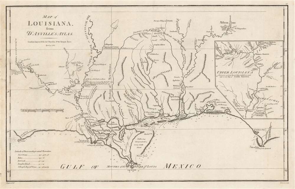
Map of Louisiana, From D'Anville's Atlas.
$950.00
Acquire
- Digital Map Information
- Suitable for large format printing
- DPI: 600
- File Size: 33.16 MB
- File Type: ZIP / TIFF
- ICC color profile embedded
- Delivered instantly via download link
This is a handsome example of the scarce 1788 English edition of Jean Baptiste Bourguignon d'Anville's map of the Gulf Coast and Lower Mississippi River Valley, engraved by Thomas Bowen for John Harrison. This is the best obtainable map of the Lower Mississippi at the time of publication - here in a rare English edition. (more details)
Comprehensive visual summary of World War II in Europe.
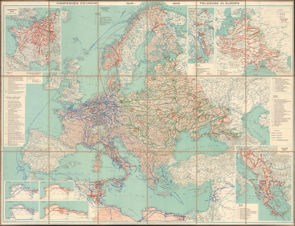
Die Feldzüge in Europa 1939 - 1945.
$950.00
Acquire
- Digital Map Information
- Suitable for large format printing
- File Size: 108.47 MB
- File Type: ZIP / TIFF
- ICC color profile embedded
- Delivered instantly via download link
This is a c. 1947 Erwin Tschudi map of Europe and North Africa offering a striking visual summary of World War II in Europe. (more details)
Dawn of a new era.
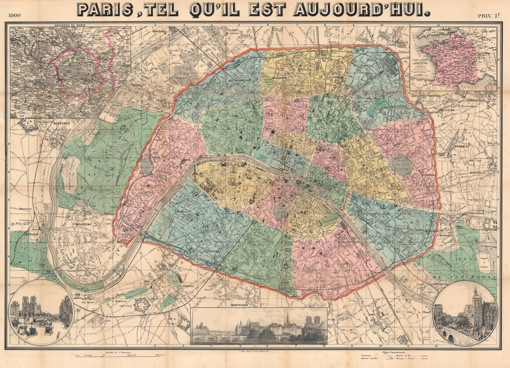
Paris, tel qu'il est aujourd'hui.
$650.00
Acquire
- Digital Map Information
- Suitable for large format printing
- File Size: 58.19 MB
- File Type: ZIP / TIFF
- ICC color profile embedded
- Delivered instantly via download link
This is a 1900 L. Joly city plan or map of Paris highlighting the 1900 Exposition Universelle. The Exposition began a new global era of technological innovation and social change. (more details)
Just before the 1948 Arab-Israeli War.
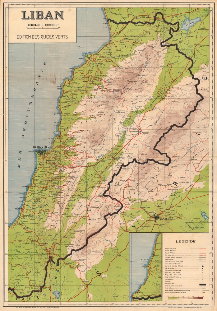
Liban.
$650.00
Acquire
- Digital Map Information
- Suitable for large format printing
- File Size: 57.28 MB
- File Type: ZIP / TIFF
- ICC color profile embedded
- Delivered instantly via download link
This is a 1948 Guides Verts map of Lebanon, published to promote tourism. The map received little circulation and was used by few tourists due to the outbreak, in the same year, of the 1948 Arab-Israeli War. (more details)
Romance of the West.
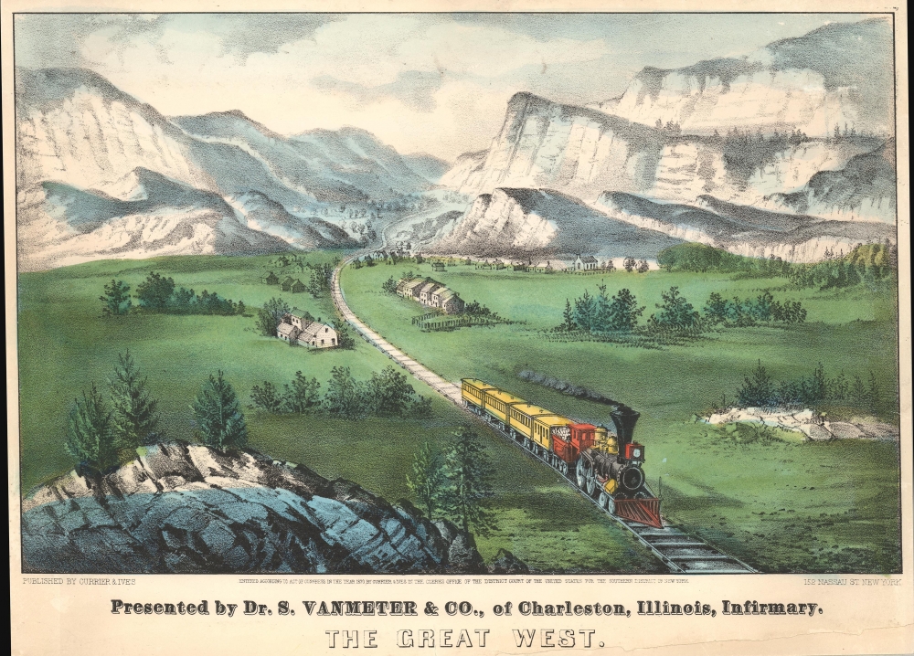
Presented by Dr. S. Vanmeter and Co. of Charleston, Illinois Infirmary. The Great West.
$650.00
Acquire
- Digital Map Information
- Suitable for large format printing
- File Size: 10.13 MB
- File Type: ZIP / TIFF
- ICC color profile embedded
- Delivered instantly via download link
This is a rare presentation variant of Currier and Ives' 1870 lithograph view, 'The Great West.' Like many Currier and Ives prints, the image capitalizes on the American fascination with the dramatic scenery and potential of Westward Expansion. The present example represents a curious variant presented by Dr. S. VanMeter of Charleston of the Illinois Infirmary. (more details)
Angkor Wat.
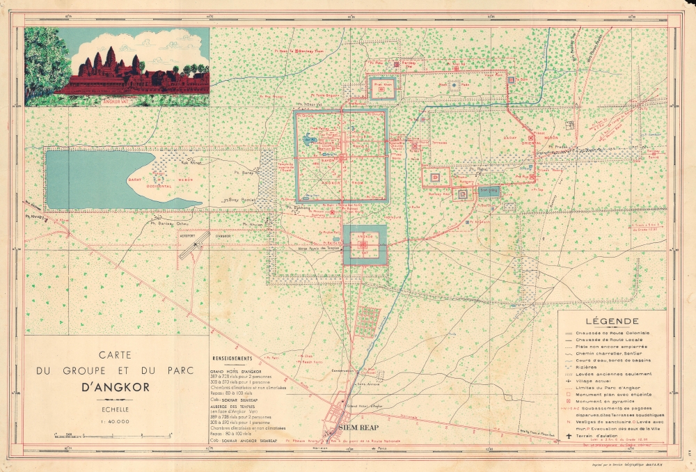
Carte du Groupe et du Parc d'Angkor.
$550.00
Acquire
- Digital Map Information
- Suitable for large format printing
- File Size: 16.31 MB
- File Type: ZIP / TIFF
- ICC color profile embedded
- Delivered instantly via download link
This is a 1953 'Service Géographique des Forces Armées Royales Khmères' map of Angkor, Cambodia. Angkor, home to the world-famous temples of Angkor Wat and Angkor Thom, among others, was the capital of the Khmer Empire which flourished between the 9th and 15th centuries. Both Angkor Wat and Angkor Thom are illustrated and labeled, their moats making them instantly recognizable. Angkor Wat, while the smaller of the two sites, is said to be the world's largest single religious monument and is Cambodia's most popular tourist attraction. Both temples, along with the surrounding area, are collectively a UNESCO World Heritage Site. Using satellite photography and other modern techniques, an international team of researchers determined that Angkor was the largest pre-industrial city in the world in 2007. They realized that an interconnected community that covered at least 390 square miles, with Angkor Wat and Angkor Thom at its center. Today, over two million people visit the site annually. (more details)
Christianizing Celestial Nomenclature.
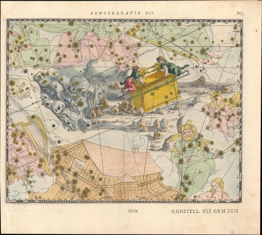
Contellatio XLI. [Iordanis Fluvii.]
$500.00
Acquire
- Digital Map Information
- Suitable for large format printing
- Full resolution TIFF file
- ICC color profile embedded
- Delivered instantly via download link
A lovely hand-colored 1627 celestial chart of the Hydra constellation, reimagined as the River Jordan, with surrounding constellations similarly replaced by Biblical imagery. It appeared in Julius Schiller's rare 1627 star atlas Coelum Stellatum Christianum, which aimed, but failed, to supplement classical zodiac Greco-Roman celestial nomenclature for Christian-themed naming conventions. (more details)
Celebrating Astroworld.
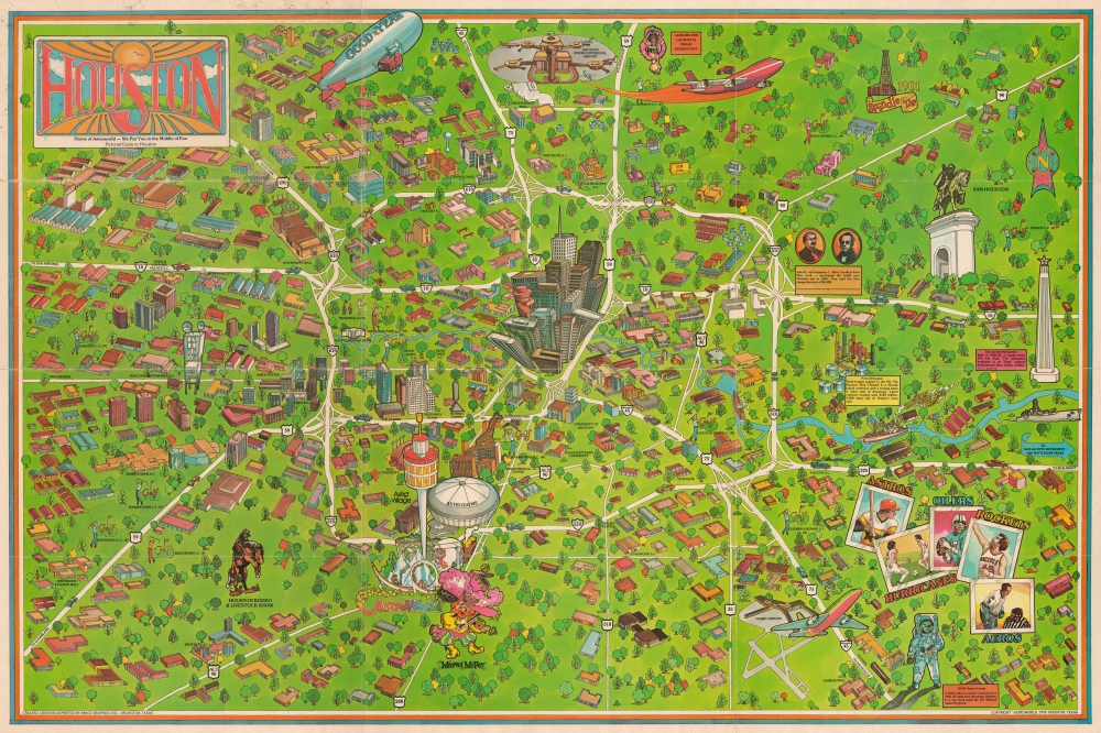
Houston. Home of Astroworld - We Put you in the Middle of Fun. Pictorial Guide to Houston.
$400.00
Acquire
A colorful 1978 pictorial map of Houston, Texas, issued by Image Graphics to promote Astroworld, an immersive sports-focused theme park. (more details)
Promoting European investment in the dream of a unified independent Latin America.
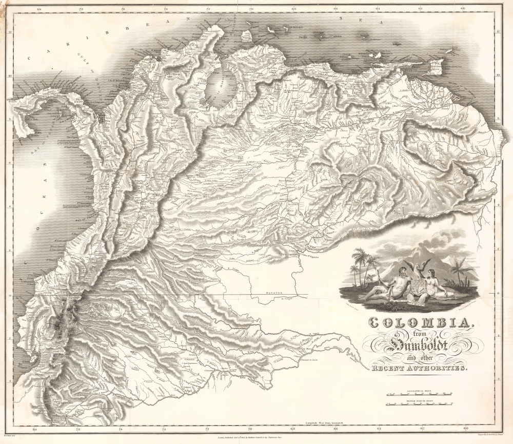
Colombia, from Humboldt and other Recent Authorities.
$2,200.00
Acquire
- Digital Map Information
- Suitable for large format printing
- Full resolution TIFF file
- ICC color profile embedded
- Delivered instantly via download link
This is the rare and important 1823' Zea Map of Colombia', one of the earliest specific maps of Gran Colombia at its height. This map was printed on behalf of the Colombian vice president under Simón Bolívar, Francisco Antonio Zea (1766 - 1822), to court European, and specifically British, investment in the new Republic, which was in dire need of financial support. The title references the naturalist Alexander von Humboldt, not for any cartographic contributions, as the map is based on the maps of John Arrowsmith, but rather for his unwavering support of an independent Gran Colombia and his promotion of its natural wealth. (more details)
Best 18th century map of the Ohio River Valley.
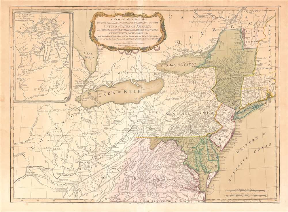
A New and General Map of the Middle Dominions Belonging to the United States of America, viz. Virginia, Maryland, the Delaware-Counties, Pennsylvania, New Jersey etc…
$1,850.00
Acquire
- Digital Map Information
- Suitable for large format printing
- DPI: 600
- File Size: 27.56 MB
- File Type: ZIP / TIFF
- ICC color profile embedded
- Delivered instantly via download link
This is the Laurie and Whittle 1794 updated edition of Lewis Evans' foundational 1755 map of the middle part of the British Colonies in North America. Evans' map was the earliest to accurately detail the American frontier at the time of its original publication. It exhibits superb detail in the northern Appalachian Mountains and the Ohio River Valley, providing information about Native American tribes and transport, French and English forts, and other details pertinent to the frontiersman, including sources of salt, roads, and trails. It was hailed by Schwartz and Ehrenberg as 'the most ambitious performance of its kind undertaken in America up to that time.' So widely was the excellence of Evans' map recognized that he was unable to make any money on it at all, as it was promptly pirated by Jefferys, Sayer, Kitchen, Bowles, Crevecoeur, and, as here, Laurie and Whittle. This 1794 edition, at least, updates the map to indicate the outcome of the American Revolution - it names the United States and includes the boundary line between the United States and Canada as determined by the 1783 Treaty of Paris. This is also the first edition of the Evans map to include the new state of Kentucky - although erroneously positioned north of the Ohio River. (more details)
Settling the Borders of British Nigeria.
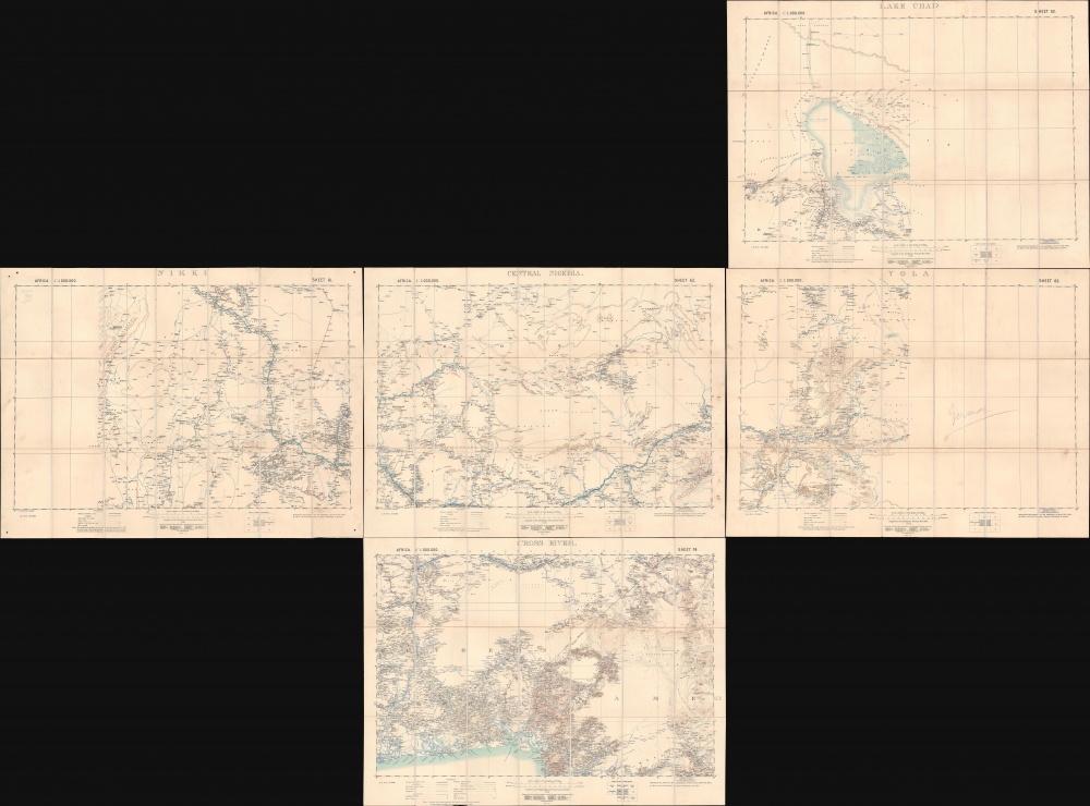
Lake Chad / Nikki / Central Nigeria. / Yola / Cross River.
$1,500.00
Acquire
- Digital Map Information
- Suitable for large format printing
- Full resolution TIFF file
- ICC color profile embedded
- Delivered instantly via download link
A concurrent set of five folding sheets, together forming a map covering central and eastern Nigeria, produced by the Intelligence Division of the British War Office in 1902 (with one map being dated 1905). The maps cover this region as it was roiled by opposition to British encroachments and was being negotiated over between the British and Germans, who controlled the neighboring colony of Kamerun. (more details)
Presenting the proto-Alaska Muller Peninsula, refuting the Sea of the West.
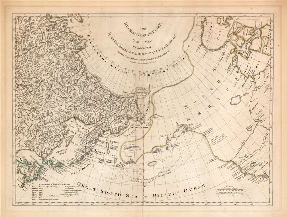
The Russian Discoveries from the Map Published by the Imperial Academy of St. Petersburg.
$1,100.00
Acquire
- Digital Map Information
- Suitable for large format printing
- Full resolution TIFF file
- ICC color profile embedded
- Delivered instantly via download link
An attractive example of Robert Sayer's 1775 translation of Gerhard Friedrich Müller's map presented to refute the spurious geography of the Pacific Northwest proposed by the French cartographers Philippe Buache and Joseph Nicolas De l'Isle. The map covers the same area as the 1752 Buache / De l'Isle map, and uses similarly state-of-the-art data from Russian explorers to show their successes in sailing via a Northeast Passage into the Pacific. This map however presents Müller's cartography of the American Northwest in explicit contradiction of the Buache/De l'Isle imaginary Sea of the West, and reliance on the fictional journeys of Admiral De Fonte. Thus, the map includes the North Pacific, including parts of Alaska, the Pacific Northwest, and Northeast Asia. Coverage extends from the Arctic Circle south to the latitudes of Vancouver and Japan. Most dramatically, the map includes a large, speculative peninsula extending westward from North America towards Asia. This, known as the Müller Peninsula, would become the dominant geographical model for the Pacific Northwest coast until the actual exploration of those coastal areas by Captain Cook in the 1770s. The map is also notable for its unusual Bulbous promontory in northern Siberia, an interpretation of the Witsen Peninsula, itself a mismapping of the Chukchi Peninsula. (more details)
First specific map of the Marshall Islands.
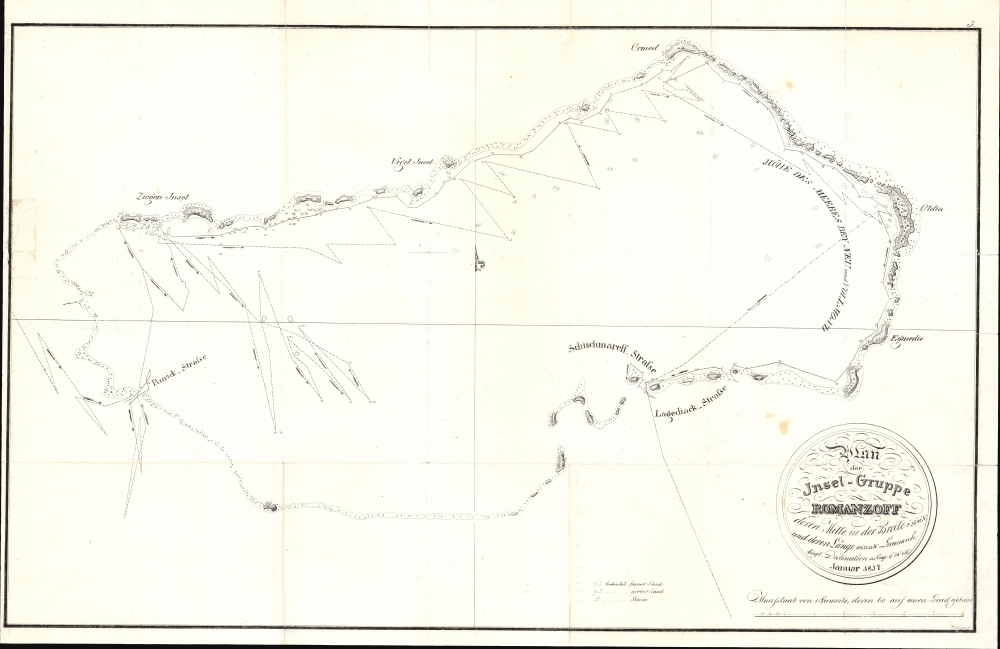
Plan der Insel-Gruppe Romanzoff...
$950.00
Acquire
- Digital Map Information
- Suitable for large format printing
- File Size: 176.25 MB
- File Type: ZIP / TIFF
- ICC color profile embedded
- Delivered instantly via download link
This is Otto von Kotzebue's 1821 map of the Marshall Islands, considered the first specific map of that archipelago. Kotzebue named them the Romanzoff Islands, but this part of the Marshalls is today known as the Ailinglaplap Atoll. The map resulted from Kotzebue's Rurik Expedition, the second Russian circumnavigation of the globe. (more details)
Fly Sabena and visit extra cities at no additional cost!
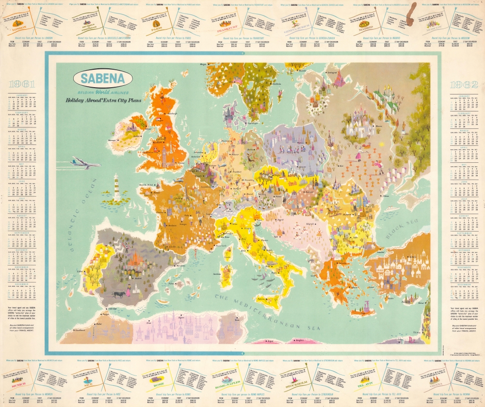
SABENA Belgian World Airlines Holiday Abroad Extra City Plans.
$950.00
Acquire
This is a c. 1961 Sabena Belgian World Airlines pictorial map of Europe. Created as a promotional tool and aimed at an American audience, this piece promotes Sabena's 'Extra City Plans' to entice Americans to travel across the Atlantic. (more details)
Solemnly reflecting on the Civil War.
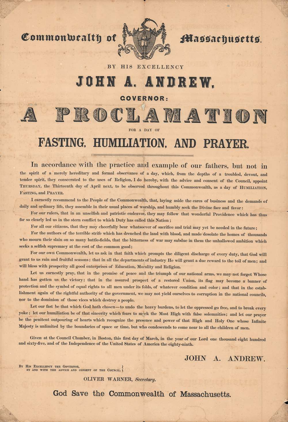
Commonwealth of Massachusetts; By his excellency John A. Andrew, Governor : a proclamation for a day of fasting, humiliation, and prayer...
$900.00
Acquire
- Digital Map Information
- Suitable for large format printing
- File Size: 55.6 MB
- File Type: ZIP / TIFF
- ICC color profile embedded
- Delivered instantly via download link
This is a March 1865 broadsheet of a proclamation for a day of fasting, humiliation, and prayer issued by Governor John Andrew of Massachusetts. It fits within a long tradition of proclamations for fasting and prayer by leading American political figures but was also shaped by the context of the ongoing, and nearly concluded, American Civil War (1861 - 1865). (more details)
Beautifully detailed pictorial map of the Upper Penobscot Bay region.

A Decorative Map of Upper Penobscot Bay.
$750.00
Acquire
This is a charming 1972 Augustus D. Phillips pictorial map of the upper Penobscot Bay. Featuring illustrations of ships and local wildlife, Phillips's many iconic Maine maps combine practical information, history, humor, and beautiful detail, making them a favorite of 'in the know' collectors. (more details)