
NEW ACQUISITIONS
Death Valley in Granular Detail.
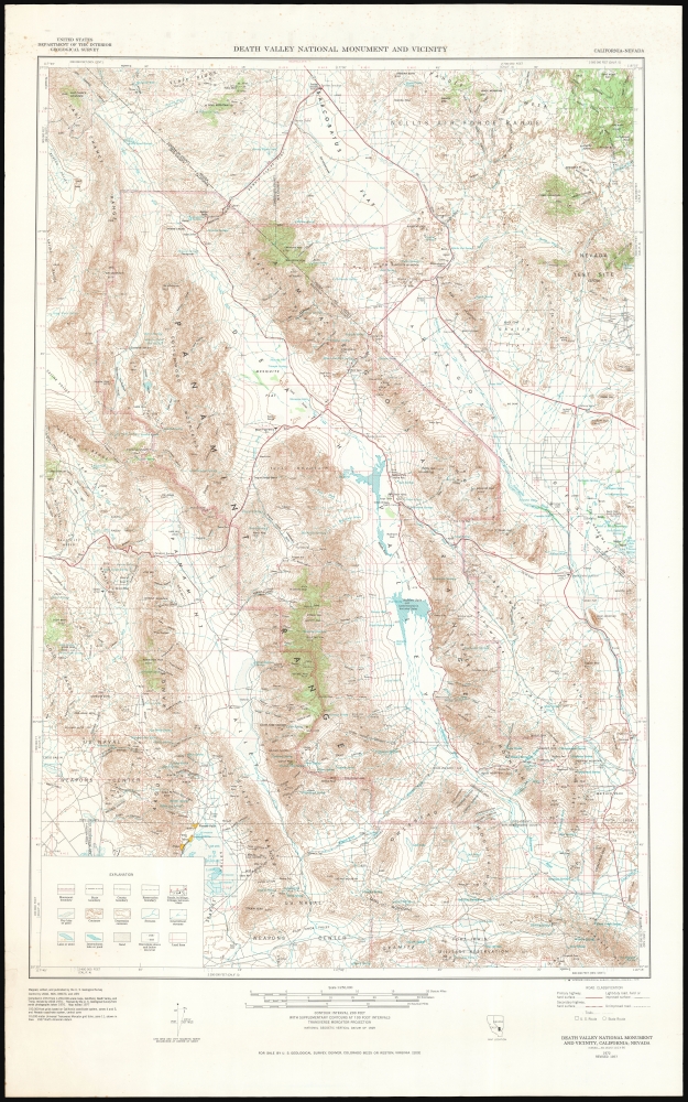
Death Valley National Monument and vicinity, California-Nevada.
$150.00
Acquire
This is a 1972/1977 U.S. Geological Survey topographic map of Death Valley National Monument, at the border of California and Nevada. Depicting from Scottys Junction and the Nellis Air Force Range in the north to the Fort Irwin Military reservation in the south, contour lines present the region's forbidding topography in striking detail. (more details)
Piracy of a seminal map detailing Trans-Appalachia.
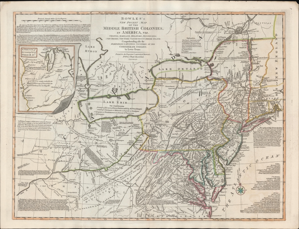
Bowles's New Pocket Map of the Middle British Colonies, in America, Vis. Virginia, Maryland, Delaware, Pensylvaia, New Jersey, New York, Connecticut and RHode Island. Comprending also the Habitations and Hunting Countries of the Confederate Indians: by Lewis Evans.
$6,500.00
Acquire
- Digital Map Information
- Suitable for large format printing
- DPI: 600
- File Size: 659.83 MB
- File Type: ZIP / TIFF
- ICC color profile embedded
- Delivered instantly via download link
A fine example of the 1780 Carington Bowles edition of the Lewis Evans map of the Middle British Colonies - one of the most important maps to emerge out of the French and Indian War (1754 - 1763). Essentially a piracy of a piracy, this is the Carington Bowles 1780 piracy of the 1771 Kitchen/Jefferys piracy of the 1755 Lewis Evans map - here given new relevance in the context of the American Revolutionary War (1775 - 1783). There are numerous subtle changes over earlier editions although the essential Lewis Evans chart - the finest and most comprehensive treatment of the Trans-Appalachia and the Ohio Valley from the French and Indian War through the Revolutionary period - remains the core. Pre-release editions of this map were circulated among British officers, including Major-General Edward Braddock (1695 - 1755), who consulted them during his disastrous 1755 expedition against the French-occupied Ohio River Valley (he was killed in the effort - but not for lack of cartographic reconnaissance). (more details)
Dramatic 18th century wall map!
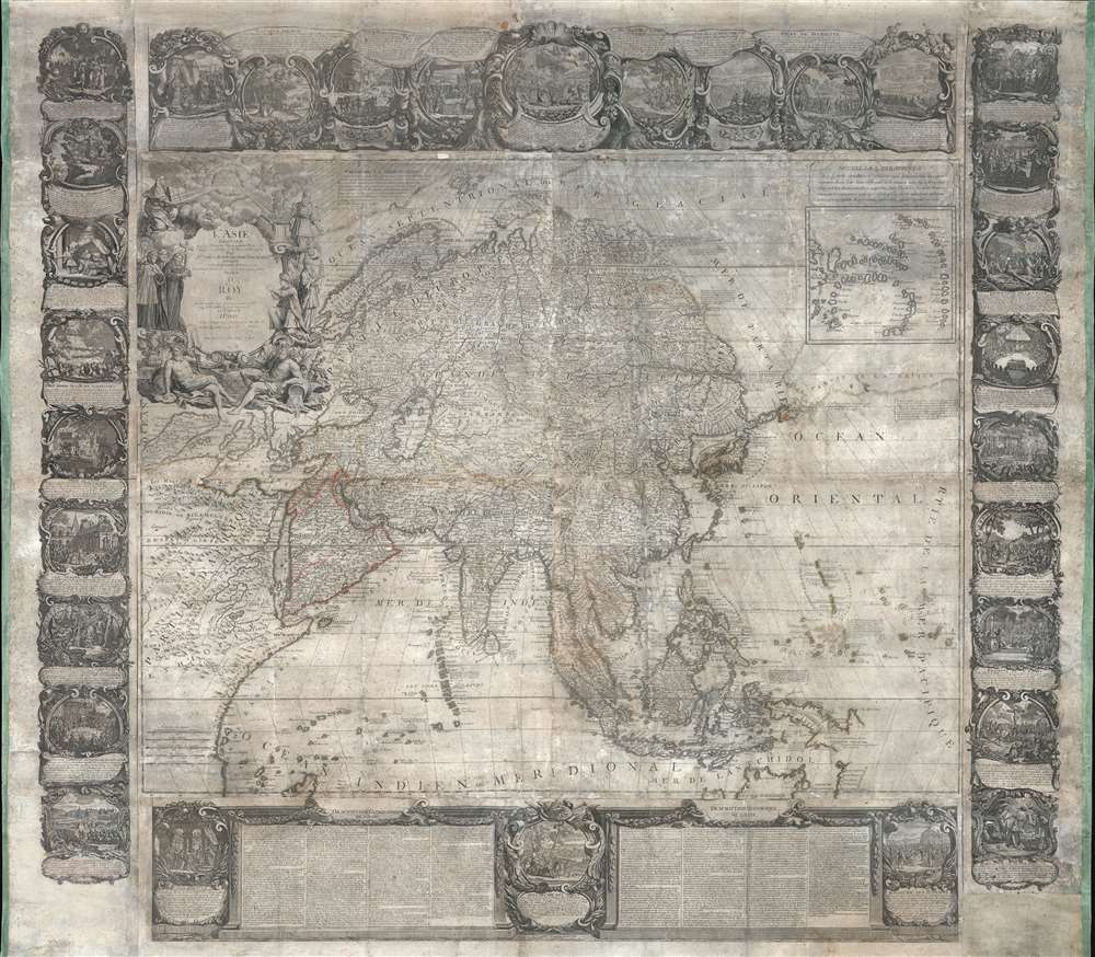
L'Asie Dressée Sur Les Nouvelles Observations Faites En Toutes Les Parties De La Terre Et Rectifiées.
$5,000.00
Acquire
This is an impressive and rare 1749 decorative wall map of Asia by Jean-Baptiste Nolin. It offers both decorative appeal and significant cartographic interest: Witsen's Peninsula, Lake Chiamay, Gamaland, ethnographic commentary, and more. (more details)
A Superb View of Southie.
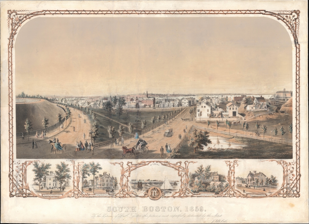
South Boston, 1859. To the Citizens of South Boston - this picture is most respectfully dedicated by the Artist.
$4,000.00
Acquire
- Digital Map Information
- Suitable for large format printing
- File Size: 33.43 MB
- File Type: ZIP / TIFF
- ICC color profile embedded
- Delivered instantly via download link
A rare view of South Boston in 1859, drawn by Joseph Foxcroft Cole. It depicts the neighborhood of Dorchester Heights at a time when South Boston was growing rapidly, both demographically and territorially. (more details)
England as Madman Colossus during the Russo-Turkish War.
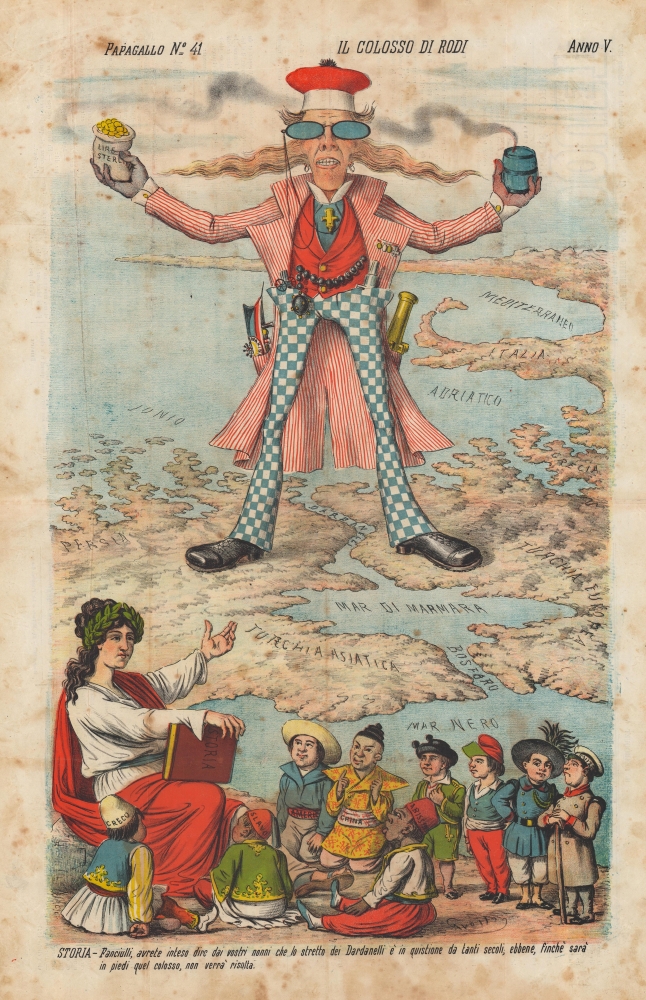
Il Colosso di Rodi. Papagallo. No. 41. Anno V.
$2,000.00
Acquire
- Digital Map Information
- Suitable for large format printing
- Full resolution TIFF file
- ICC color profile embedded
- Delivered instantly via download link
An 1877 Italian allegorical image lampooning the British intervention in the Russo-Turkish War (1877 - 1878). It represents regional fear the era’s great hegemonic powers, Britain and Russia, would use the Mediterranean and a theater to play out global imperialist conflicts. (more details)
After Guadalupe Hidalgo, before the Compromise.
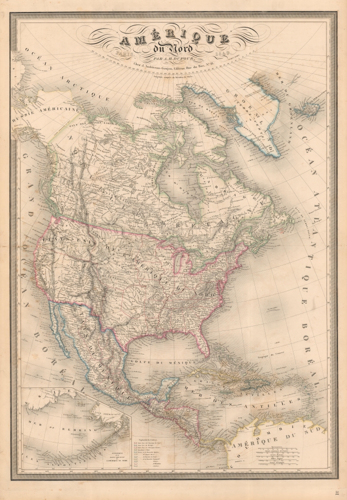
Amérique du Nord par A. H. Dufour...
$1,200.00
Acquire
- Digital Map Information
- Suitable for large format printing
- DPI: 600
- File Size: 144.18 MB
- File Type: ZIP / TIFF
- ICC color profile embedded
- Delivered instantly via download link
A fine example of A. H. Dufour's 1849 map of North America, including Texas with ambitious boundaries. The map offers an interesting and ephemeral look at the Transmississippi in the year after the Treaty of Guadalupe Hidalgo, but before the changes wrought by the Compromise of 1850, the Gold Rush, and in the same year, the statehood of California. (more details)
Pearl of Asia.
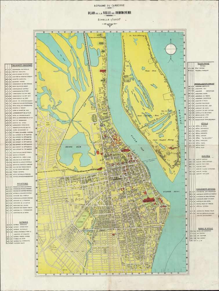
Plan de la Ville de Phnom Penh.
$1,200.00
Acquire
A rare c. 1960 map of Phnom Penh, capital of Cambodia, during the Sangkum Period when it was known as the ‘Pearl of Asia’. The map represents the final days of a golden era of development for Phnom Penh, as major urban projects, canals, and dredging efforts drained the swampy flood plain. It also includes the initial layout and planning of the elite Khan Toul Kouk neighborhood. (more details)
Most up-to-date military map of Nagasaki on the even of the Atomic Bombing.
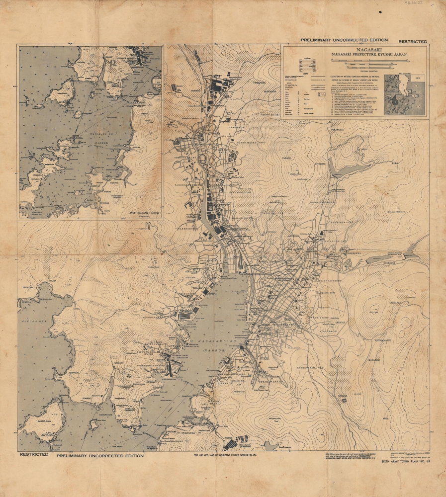
Nagasaki. Nagasaki Prefecture, Kyushu, Japan. Preliminary Uncorrected Edition. Restricted.
$1,200.00
Acquire
- Digital Map Information
- Suitable for large format printing
- File Size: 26.38 MB
- File Type: ZIP / TIFF
- ICC color profile embedded
- Delivered instantly via download link
This is a 1945 Army Map Service map of Nagasaki, Japan, printed just days before the dropping of Fat Man. The map was initially created for the U.S. Army Air Force's continued aerial campaign against the home islands, but, significantly, this is the most up-to-day map the U.S. Army had of Nagasaki before the August 9, 1945 nuclear bombing that devastated the city and an example would certainly have been on Bockscar, and its reconnaissance planes when the bombing occurred. (more details)
Trekking Kathmandu to Lhasa.
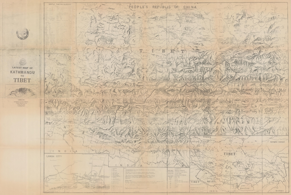
Latest Map of Kathmandu to Tibet.
$600.00
Acquire
This is a c. 1988 Mandala Maps trekking map of Nepal and Tibet, highlighting a trekking route between Kathmandu and Lhasa. (more details)
Homeland of Zapata.
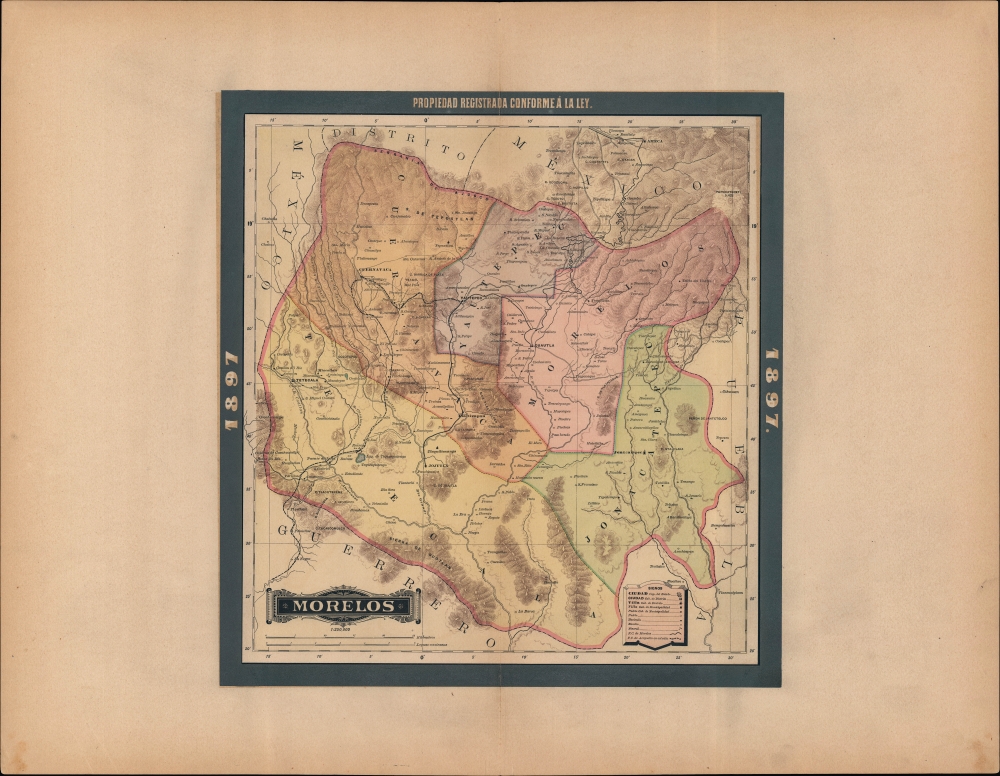
Morelos.
$450.00
Acquire
- Digital Map Information
- Suitable for large format printing
- File Size: 26.81 MB
- File Type: ZIP / TIFF
- ICC color profile embedded
- Delivered instantly via download link
A beautiful map of the Mexican state of Morelos, published in 1897 for the Atlas Geográfico de los Estados Unidos Mexicanos. (more details)
From Frontier to Vacationland.
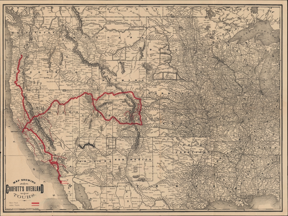
Map showing Crofutt's overland tours.
$450.00
Acquire
- Digital Map Information
- Suitable for large format printing
- File Size: 26.03 MB
- File Type: ZIP / TIFF
- ICC color profile embedded
- Delivered instantly via download link
An uncommon 1888 Rand McNally map illustrating proposed tours of the American West as described in Crofutt's Overland Tours. It was published as the American frontier was 'closing,' in the memorable phrase of historian Frederick Jackson Turner, and was simultaneously being mythologized. (more details)
Occupied Germany with Transition Zones from the British Occupation Zone.
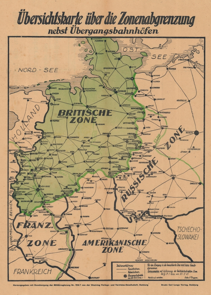
Übersichtskarte über die Zonenabgrenzung nebst Übergangsbahnhöfen. / Rund um die britische Zone Uebersichtskarte mit sämtlichen Uebergangsbahnhöfen.
$425.00
Acquire
- Digital Map Information
- Suitable for large format printing
- Full resolution TIFF file
- ICC color profile embedded
- Delivered instantly via download link
This is a Westring Verlags- und Vertriebs-Gesellschaft map of post-World War II occupation zones in Germany. It illustrates the transitional zones that evolved in the division of Germany into democratic West Germany and communist East Germany. (more details)
One of the Earliest Depictions of Discovery-Era India.
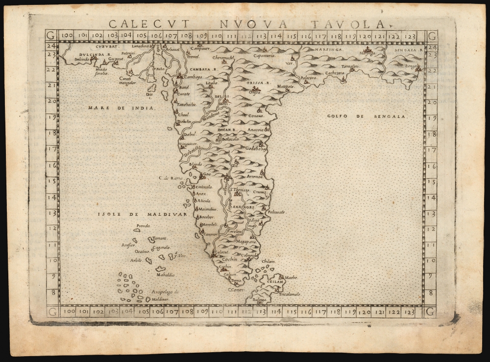
Calecut Nuova Tavola.
$400.00
Acquire
- Digital Map Information
- Suitable for large format printing
- Full resolution TIFF file
- ICC color profile embedded
- Delivered instantly via download link
This is Girolamo Ruscelli's 1561 / 1574 map of India. It is among the earliest printed, modern maps of India - most earlier maps being iterations of Claudius Ptolemy's geographical information of the 2nd century. (more details)
French mapping of Siam, Malaya and Cochinchina.
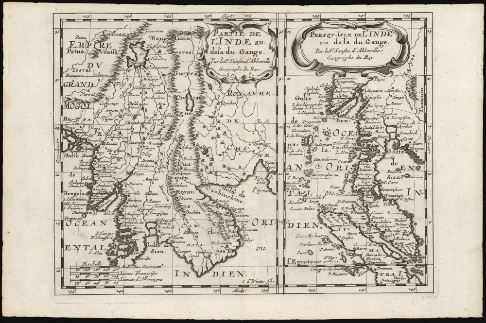
Partie de l'Inde au delà du Gange/ Presqu-Isle de L'Inde au delà du Gange.
$350.00
Acquire
- Digital Map Information
- Suitable for large format printing
- DPI: 600
- File Size: 12.06 MB
- File Type: ZIP / TIFF
- ICC color profile embedded
- Delivered instantly via download link
These, on one sheet, are Nicolas Sanson's 1653 maps of Southeast Asia, here re-engraved for its first Dutch edition of 1683. Coverage includes Siam (Thailand), Vietnam, Cambodia, Laos, Burma, Malaya, and parts of China and Sumatra, a region then generally known as 'India beyond the Ganges. (more details)
The Northern Borderlands of the U.S. in the Era of Revolution.
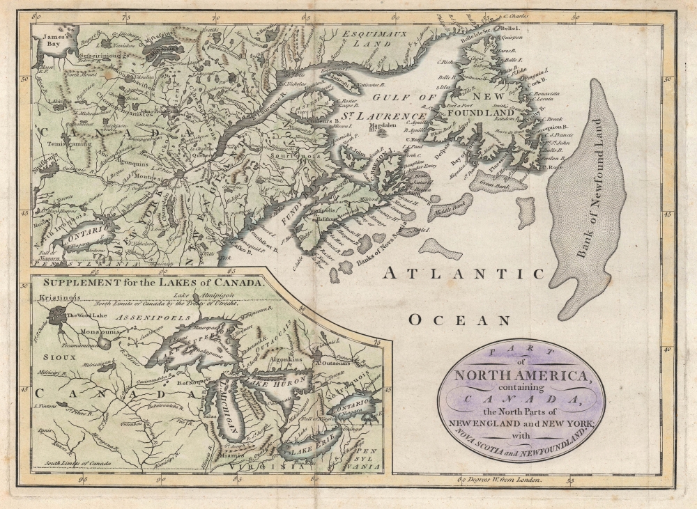
Part of North America, containing Canada, the north parts of New England and New York ; with Nova Scotia and Newfoundland.
$350.00
Acquire
- Digital Map Information
- Suitable for large format printing
- Full resolution TIFF file
- ICC color profile embedded
- Delivered instantly via download link
This is John Cary's c. 1781 map of the borderlands between the American colonies / United States of America and British dominions in North America. It is remarkable for reflecting geographical knowledge and territorial claims in the era of the American Revolutionary War. (more details)
Fascinating Early Road Map of Wisconsin.
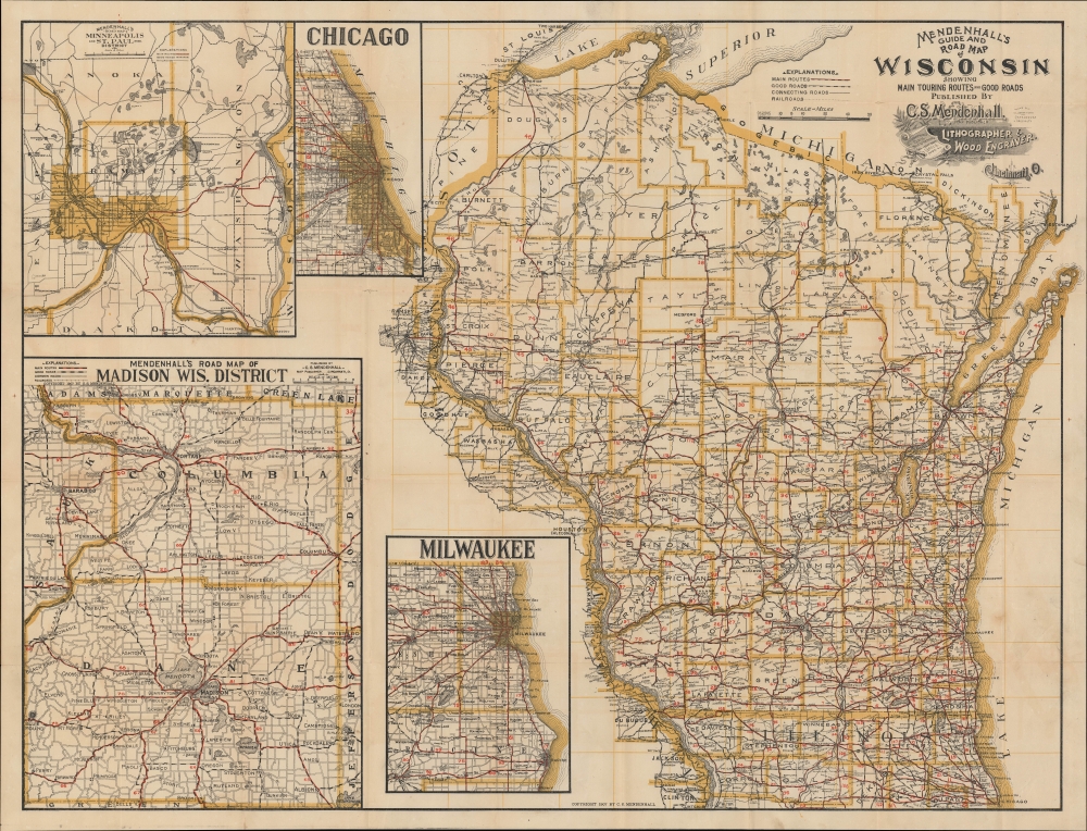
Mendenhall's Guide and Road Map of Wisconsin.
$300.00
Acquire
- Digital Map Information
- Suitable for large format printing
- File Size: 51.89 MB
- File Type: ZIP / TIFF
- ICC color profile embedded
- Delivered instantly via download link
A scarce large-format road map of Wisconsin from the early days of automobile travel, produced and published in 1907 by C. S. Mendenhall. It demonstrates the development of (mostly dirt) automobile roads in the state as a growing alternative to railroads. (more details)
Antwerp pictured prior to the Spanish Fury.
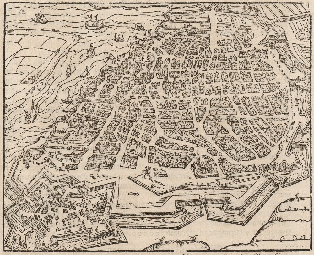
[Bird's-Eye View of Antwerp.]
$300.00
Acquire
- Digital Map Information
- Suitable for large format printing
- DPI: 600
- File Size: 16.38 MB
- File Type: ZIP / TIFF
- ICC color profile embedded
- Delivered instantly via download link
This detailed bird's-eye view of Antwerp is among the earliest printed images of the city. This woodcut first appeared in the 1574 German edition of Sebastian Münster's Cosmographia. It is a careful miniature of the 1572 view printed in Cologne by Braun and Hogenberg, the first of two views of that city appearing in their Civitates Orbis Terrarum. Both were drawn by Joris Hoefnagel, who was a native of the city, here shown on the River Schelde as it stood in the first part of the Eighty Years’ War (1568 - 1648). While it was at the heart of the Dutch Revolt, it was also the seat of Spanish power in the Low Countries. This is evidenced by the fort, built by the Grand Duke of Alba, commanding the southern approaches to the city. Within Antwerp's city walls are the Cathedral, town hall, Grote Markt, and fish market. The portrait below the view is Fernando Álvarez de Toledo y Pimentel, 3rd Duke of Alba (1507 – 1582), known as the Grand Duke of Alba whose bloody but ultimately futile repression failed to suppress the Dutch Revolt. (In 1576, two years after the first appearance of this view, Spanish forces visited the Spanish Fury on the city in the infamous Sack of Antwerp, then the greatest massacre in the history of the Low Countries.) The text describes the great statue of himself that the Grand Duke had erected in his new fortress, including the text of the statue's plaque, both in Latin and German. The spear-carrying statue can be seen in the middle of the fort. Following the sack of the city by the Spanish in 1576, Antwerp's citizens destroyed the statue. (It is conspicuously absent in Hoefnagel's 1596 view). (more details)
Revolutionary South America.
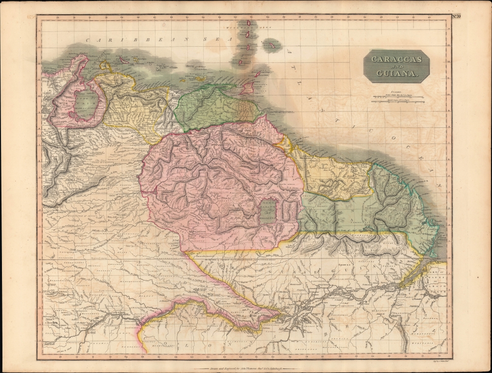
Caraccas and Guiana.
$250.00
Acquire
- Digital Map Information
- Suitable for large format printing
- Full resolution TIFF file
- ICC color profile embedded
- Delivered instantly via download link
A stunning, highly detailed, and extremely interesting c. 1815 map of northeastern South America, which appeared in the 1817 edition of John Thomson's New General Atlas. It reflects both the limited geographical knowledge of the South American interior as well as the shifting borders following the upheaval of the Venezuelan struggle for independence. (more details)
Settling the Borders of Post-Napoleonic Europe.
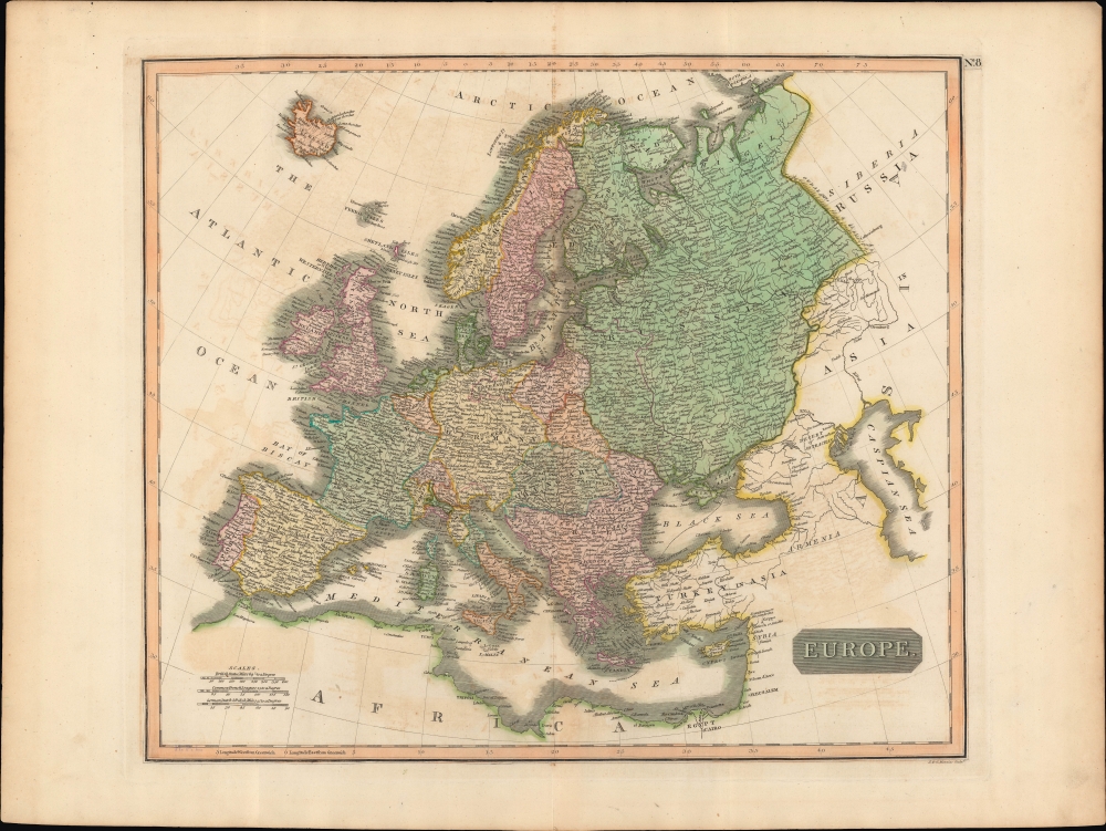
Europe.
$250.00
Acquire
- Digital Map Information
- Suitable for large format printing
- Full resolution TIFF file
- ICC color profile embedded
- Delivered instantly via download link
A lovely example of John Thomson's c. 1815 map of Europe, engraved by John Menzies, for the first edition of Thomson's New General Atlas, published in 1817. Despite the publication date, the map was prepared before the post-Napoleonic order had solidified and reflects a high degree of uncertainty over the borders of Europe emerging from the Congress of Vienna. (more details)
Besieged.
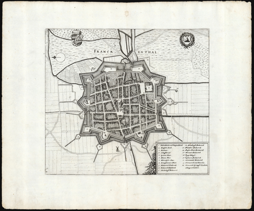
Franckenthal.
$250.00
Acquire
- Digital Map Information
- Suitable for large format printing
- DPI: 600
- File Size: 20.76 MB
- File Type: ZIP / TIFF
- ICC color profile embedded
- Delivered instantly via download link
This is Matthäus Merian's superbly detailed 1638 plan of the fortress city of Franckenthal, as it stood during the Thirty Years' War (1618 - 1648). Included in Merian's 1638 Archontologia cosmica sive imperiorum, it accompanied views and plans of other fortresses and battles pertinent to the long war. (more details)