
NEW ACQUISITIONS
Greenwich, the 300th anniversary of its founding.
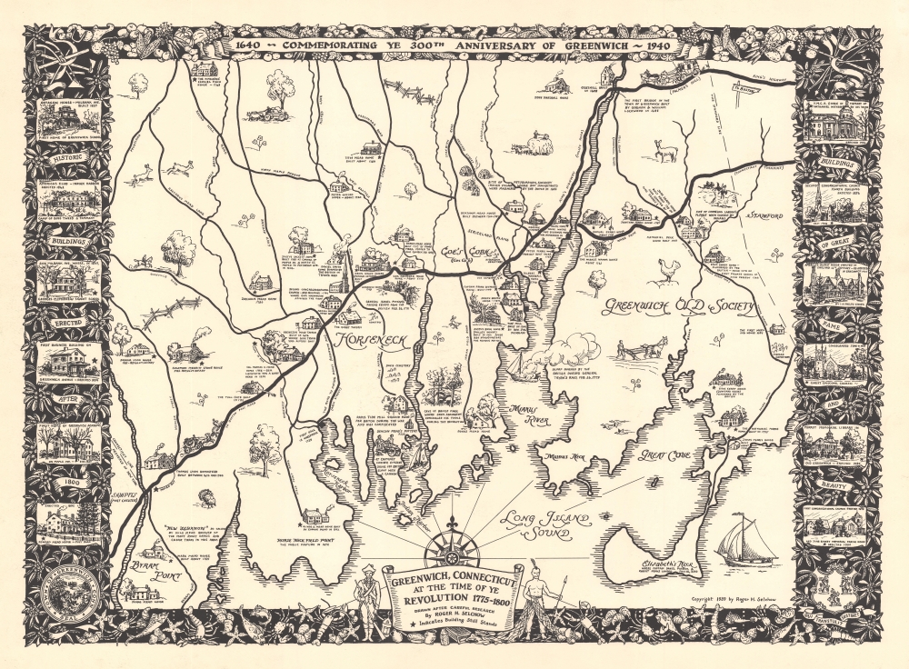
Greenwich, Connecticut at the Time of Ye Revolution 1775 - 1800. 1640 - Commemorating Ye 300th Anniversary of Greenwich - 1940.
$1,000.00
Acquire
- Digital Map Information
- Suitable for large format printing
- File Size: 33.22 MB
- File Type: ZIP / TIFF
- ICC color profile embedded
- Delivered instantly via download link
This is a rare 1939 Roger Selchow pictorial map of Greenwich, Connecticut, created to celebrate the 300th anniversary of its founding. (more details)
Features incredible original color!
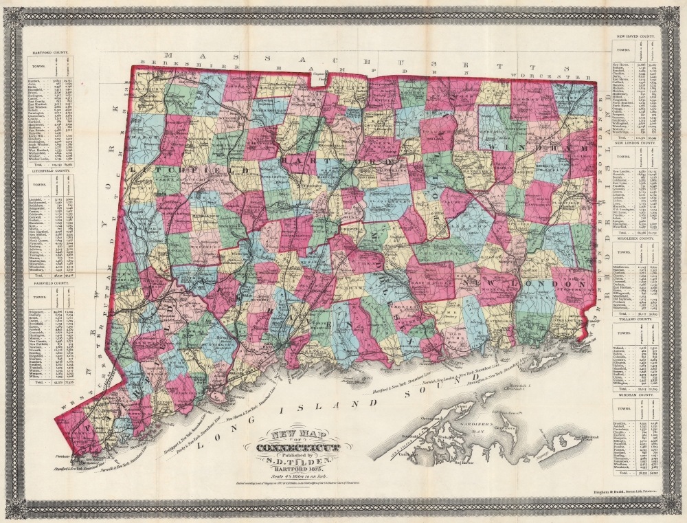
New Map of Connecticut.
$1,000.00
Acquire
- Digital Map Information
- Suitable for large format printing
- Full resolution TIFF file
- ICC color profile embedded
- Delivered instantly via download link
This is a striking 1875 Samuel D. Tilden map of Connecticut in an astounding well-preserved state. With intense color, Tilden's map focuses on Connecticut's well-established but still growing road and railroad network. (more details)
Yellowstone and the Transcontinental Railroad.
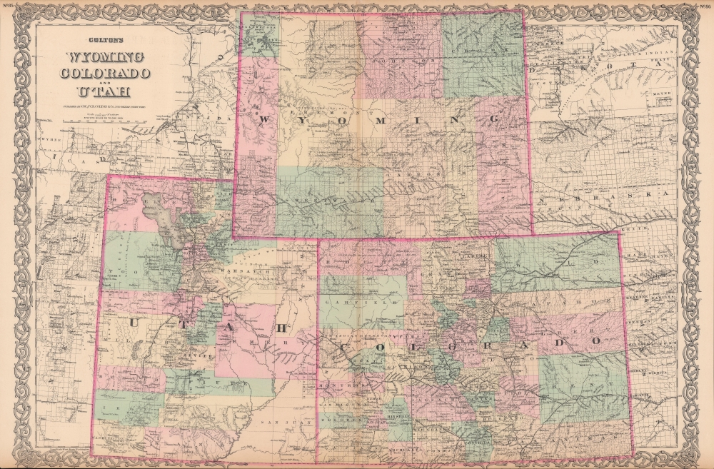
Colton's Wyoming, Colorado, and Utah.
$425.00
Acquire
- Digital Map Information
- Suitable for large format printing
- File Size: 61.13 MB
- File Type: ZIP / TIFF
- ICC color profile embedded
- Delivered instantly via download link
This is an 1886 G. W. and C. B. Colton map of Wyoming, Colorado, and Utah. Colton's work represents one of the best American atlas maps of this region to appear in the 19th century. (more details)
The western United States during World War I.

Map Showing [the] Great Northern Railway System; Chicago, Burlington and Quincy R. R. System; Spokane, Portland and Seattle Railway; Spokane and Inland Empire Railroad; Colorado and Southern Railway System.
$400.00
Acquire
- Digital Map Information
- Suitable for large format printing
- File Size: 51.9 MB
- File Type: ZIP / TIFF
- ICC color profile embedded
- Delivered instantly via download link
This is a 1917 McGill-Warner railroad map of the western United States promoting the Great Northern Railway System. The map also marks the beginning of America's love affair with its national parks - here Glacier National Park is specifically highlighted. (more details)
The Dutch Sack Olinda.
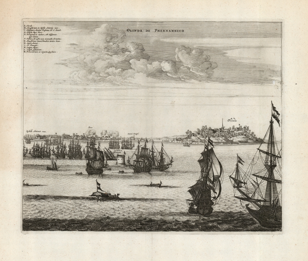
Olinda de Phernambuco.
$350.00
Acquire
- Digital Map Information
- Suitable for large format printing
- DPI: 600
- File Size: 32.76 MB
- File Type: ZIP / TIFF
- ICC color profile embedded
- Delivered instantly via download link
This is a 1671 Arnold Montanus view of the 1630 Dutch attack and capture of Olinda, the Portuguese capital of the captaincy of Pernambuco in Brazil. This establishment of a Dutch foothold in Brazil represented a high point in the globally fought Dutch-Portuguese War (1602 - 1654). The Dutch victory was short-lived as Brazilian 'New Holland' would only last until 1654. Nevertheless, the event was celebrated in Dutch histories, hence Montanus' inclusion of this image in his De Nieuwe en Onbekende Weereld and its concurrent printing in Ogilby's America. (more details)
Increasing knowledge of the North Polar region.
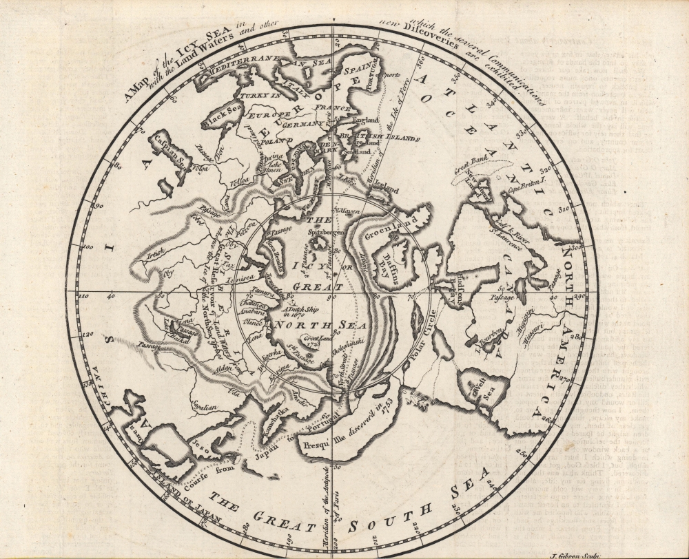
A Map of the Icy Sea in which the several Communications with the Land Waters and other new Discoveries are exhibited.
$300.00
Acquire
- Digital Map Information
- Suitable for large format printing
- Full resolution TIFF file
- ICC color profile embedded
- Delivered instantly via download link
A fascinating c. 1760 John Gibson map of the North Polar region that appeared in the London Gentleman's Magazine. Highlighting the latest discoveries by several nations as well as a host of speculations, it provides insight into the extent and limits of geographical knowledge at the time. (more details)
Notes Jonathan Lewis' settlement in modern-day Miami.
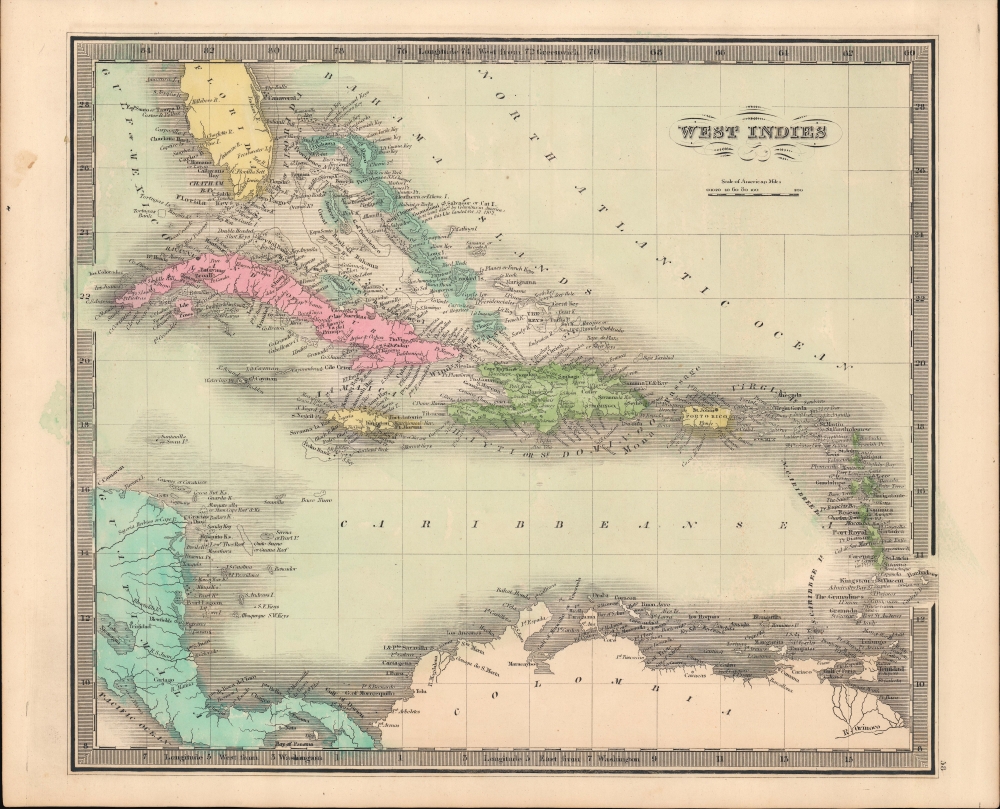
West Indies.
$225.00
Acquire
- Digital Map Information
- Suitable for large format printing
- DPI: 600
- File Size: 20.6 MB
- File Type: ZIP / TIFF
- ICC color profile embedded
- Delivered instantly via download link
This is Jeremiah Greenleaf's 1849 map of the West Indies and Florida. It is one of the few maps to illustrate the ephemeral settlement of Jonathan Lewis just south of the Miami River. (more details)
Working navigational chart from an ill - fated ship.
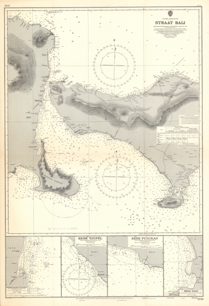
Eastern Archipelago Straat Bali from the Netherlands Government Chart of 1907 With Corrections to 1954.
$200.00
Acquire
- Digital Map Information
- Suitable for large format printing
- File Size: 54.99 MB
- File Type: ZIP / TIFF
- ICC color profile embedded
- Delivered instantly via download link
This is a British nautical map of the Bali Strait, the narrow passage between the islands of Java and Bali, from among the charts of a working oil tanker. The chart is derived from a 1907 Dutch chart produced while the island was a colonial possession. This Admiralty chart, though initially engraved in 1909, was corrected and reprinted in 1954. The chart shows the easternmost coastlines of Java, and the coasts of the western half of Bali. In addition to the expected depth soundings and notations of magnetic variations, the chart is remarkably well-detailed with respect to the coastlines. Elevations are shown topographically, lighthouses are marked in red, and visually important landmarks are noted: Temples, a pyramid, and even 'House with Zinc Roof (conspicuous)' appear as references for the coastal navigator. (more details)
Post-war Tourism in Belgium and Luxembourg.
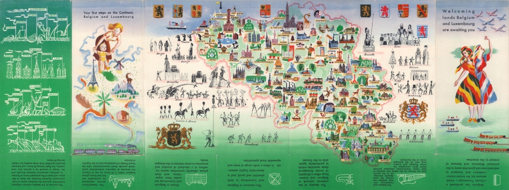
Welcoming Lands Belgium and Luxembourg are Awaiting You.
$200.00
Acquire
- Digital Map Information
- Suitable for large format printing
- Full resolution TIFF file
- ICC color profile embedded
- Delivered instantly via download link
This is a c. 1948 General Commisariat of Tourism for Belgium pictorial tourist map of Belgium and Luxembourg, issued to promote post-war tourism. (more details)
Training U.S. Navy pilots after World War II.
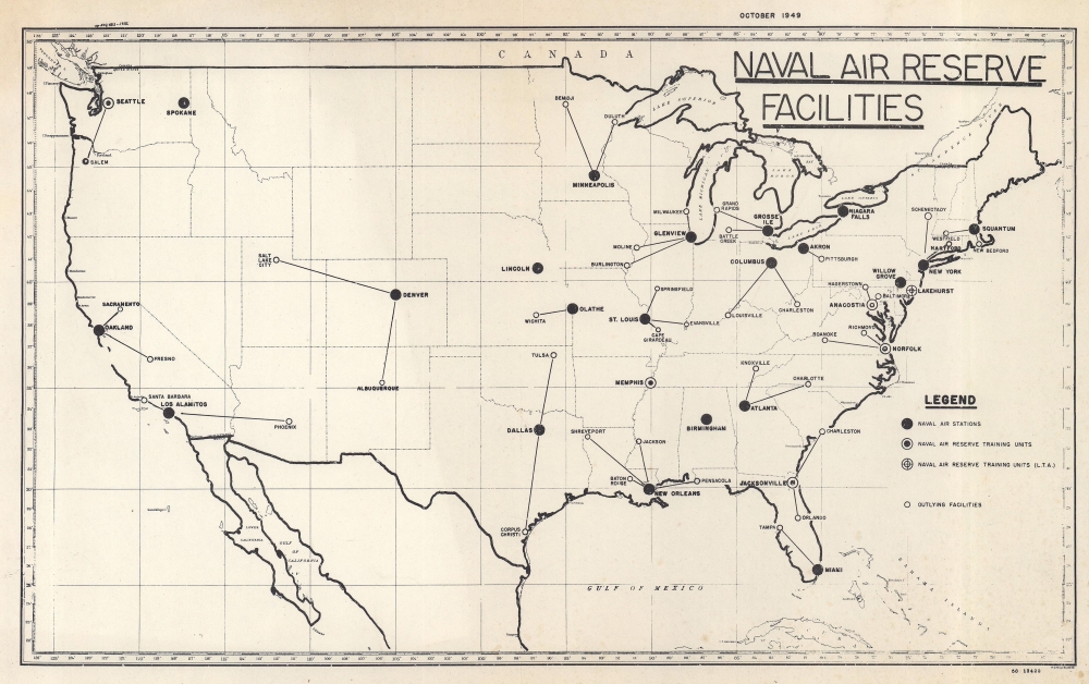
Naval Air Reserve Facilities.
$150.00
Acquire
- Digital Map Information
- Suitable for large format printing
- File Size: 12.44 MB
- File Type: ZIP / TIFF
- ICC color profile embedded
- Delivered instantly via download link
This is an October 1949 U.S. Navy Hydrographic Office map of the United States marking U.S. Naval Air Reserve bases across the United States. It sheds light on the U.S. Naval training following World War II (1939 - 1945). (more details)
One of an incredibly important series of maps of Australia detailing its colonization.
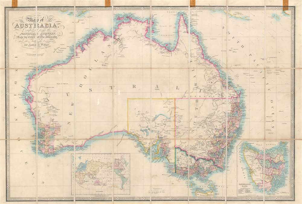
Map of Australia Compiled from the Nautical Surveys, Made by Order of The Admiralty, And other Authentic Documents, By James Wyld Geographer to the Queen.
$1,000.00
Acquire
- Digital Map Information
- Suitable for large format printing
- File Size: 29.49 MB
- File Type: ZIP / TIFF
- ICC color profile embedded
- Delivered instantly via download link
This is a c. 1858 James Wyld map of Australia during the Australian Gold Rush. Depicting the entire continent as well as Tasmania, Wyld illustrates Australia as is being transformed by aggressive colonization and mineral exploitation. (more details)
Snapshot of a rapidly changing country.
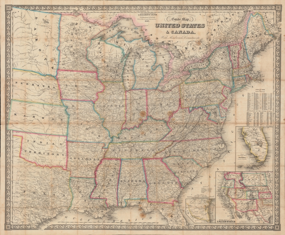
G. Woolworth Colton's New Guide Map of the United States and Canada, with Railroads, Counties etc.
$950.00
Acquire
- Digital Map Information
- Suitable for large format printing
- File Size: 1436.73 MB
- File Type: ZIP / TIFF
- ICC color profile embedded
- Delivered instantly via download link
An impressive 1862 folding map of the United States by George Woolworth Colton, heir of the prominent map publishing firm founded by his father Joseph Hutchins Colton. Remarkably detailed, it highlights railroads, state / territory and county lines, and demographic data at the height of the American Civil War (1861 - 1865). (more details)
One of the earliest accurate European maps of the Tigrayan highlands.
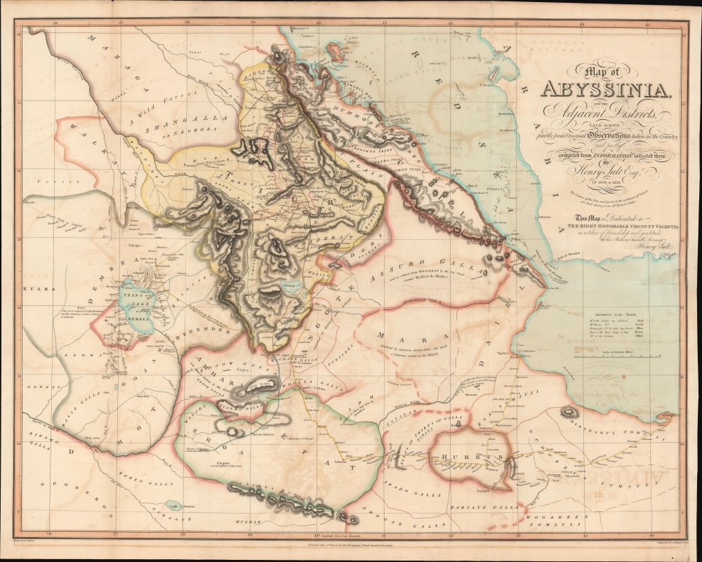
Map of Abyssinia and the adjacent districts laid down partly from original Observations taken in the Country and partly compiled from information collected there by Henry Salt Esq.
$950.00
Acquire
- Digital Map Information
- Suitable for large format printing
- DPI: 600
- File Size: 886.25 MB
- File Type: ZIP / TIFF
- ICC color profile embedded
- Delivered instantly via download link
A striking and important 1814 map of northern Abyssinia (Ethiopia) and surrounding territories by the English artist, diplomat, and Egyptologist Henry Salt. One of the earliest highly accurate European maps of the Tigrayan highlands, it appeared in Salt's A Voyage to Abyssinia and travels into the interior of that country. (more details)
The opening stages of the War of Spanish Succession.
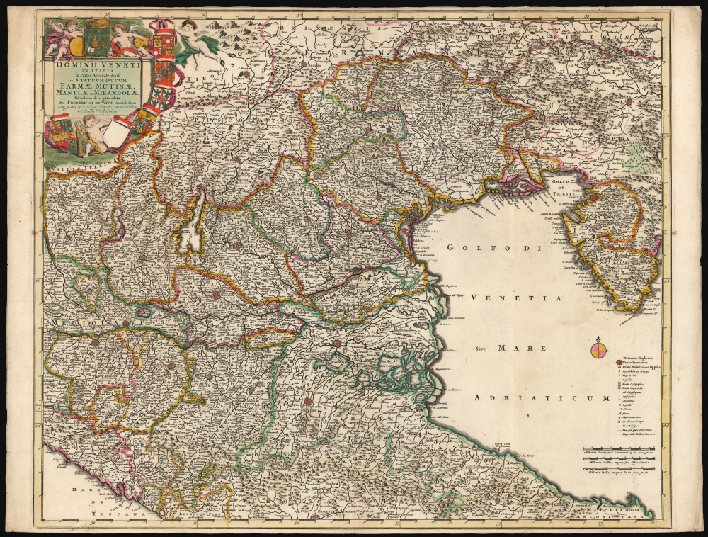
Dominii Veneti In Italia in Partes Accurate divisi ac Statuum Ducum Parmae, Mutinae, Mantuae et Mirandolae Novissima descriptio.
$850.00
Acquire
- Digital Map Information
- Suitable for large format printing
- DPI: 600
- File Size: 80.43 MB
- File Type: ZIP / TIFF
- ICC color profile embedded
- Delivered instantly via download link
This is a beautiful, original color example of Frederick de Wit's c. 1701 map of the region controlled by the Republic of Venice. While the map was initially engraved as early as 1682, this is an amended state of the map showing many changes - some noting changes to the wetlands at the mouth of the River Po, and some recording the opening battles of the War of Spanish Succession (1701 - 1714). (more details)
Prime artery of Russian trade through the 19th century.
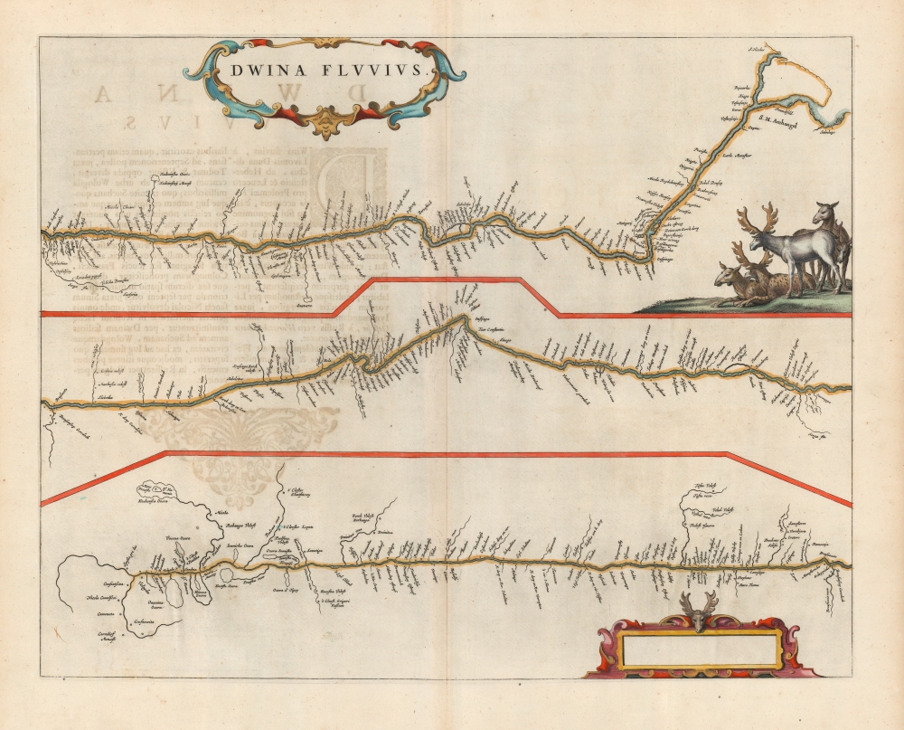
Dwina Fluvius.
$850.00
Acquire
- Digital Map Information
- Suitable for large format printing
- DPI: 600
- File Size: 38.14 MB
- File Type: ZIP / TIFF
- ICC color profile embedded
- Delivered instantly via download link
This is a beautiful, original color example of Joan Blaeu's 1662 map of the Northern Dvina River in Russia: the conduit connecting Muscovy with global markets, via the port of Archangel. (more details)
A richly detailed Africa.
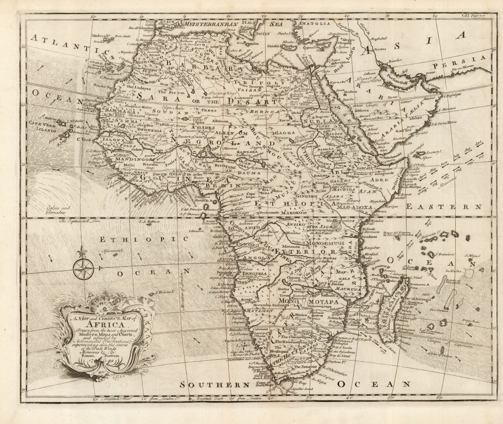
A New and Correct Map of Africa Drawn from the most Approved Modern Maps and Charts, and adjusted by Astronomical Observations, representing also the course of the Trade Winds Monsoons etc. By Eman. Bowen 1748.
$750.00
Acquire
- Digital Map Information
- Suitable for large format printing
- DPI: 600
- File Size: 36.9 MB
- File Type: ZIP / TIFF
- ICC color profile embedded
- Delivered instantly via download link
This is Emanuel Bowens' updated 1748 map of Africa. It depicts the continent in rich detail, particularly with respect to indigenous peoples, kingdoms, fortifications, and mines. It is not an amendment of the 1747 Bowen map of the continent, but an entirely new plate, and while it shares many characteristics of the earlier map, there is matter that is entirely new to it.
Most apparently, Bowen has included in the south Atlantic and the Indian Oceans the prevailing winds, and the directions of the seasonal monsoon winds. These were of particular relevance to ships sailing from Europe to India and were derived from the maps of the trade winds produced at the end of the seventeenth century by William Dampier. (more details)
Most apparently, Bowen has included in the south Atlantic and the Indian Oceans the prevailing winds, and the directions of the seasonal monsoon winds. These were of particular relevance to ships sailing from Europe to India and were derived from the maps of the trade winds produced at the end of the seventeenth century by William Dampier. (more details)
Russia's expanding empire.
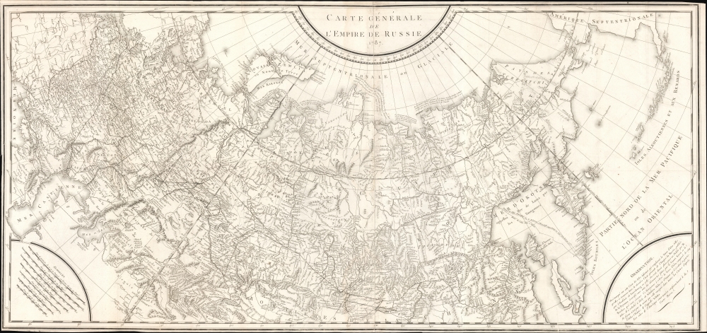
Carte Générale de L'Empire de Russie 1787.
$650.00
Acquire
- Digital Map Information
- Suitable for large format printing
- DPI: 600
- File Size: 1259.31 MB
- File Type: ZIP / TIFF
- ICC color profile embedded
- Delivered instantly via download link
An intricate large-scale c. 1787 French-language map of the Russian Empire engraved by Pierre-François Tardieu. It represents a significant improvement on earlier maps of the empire, especially its eastern portions and the northern Pacific, as both Russian and western European voyages of exploration proliferated in the late 18th century. (more details)
Siege of Pamplona during the Peninsular War.
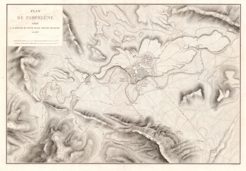
Plan de Pampelune relatif à la Défense de Cette Place par les Français en 1813.
$600.00
Acquire
- Digital Map Information
- Suitable for large format printing
- DPI: 600
- File Size: 134.8 MB
- File Type: ZIP / TIFF
- ICC color profile embedded
- Delivered instantly via download link
This is an 1836 Jacques-Vital Belmas city plan or map of Pamplona, Spain, during the 1813 Siege of Pamplona, one of the battles in the larger Peninsular War (1808 - 1814). The besieged French forces managed to hold out for over four months, delaying Wellington's advance into France, since he refused to move into France until after Pamplona had fallen. The result of meticulous military surveys, this is one of the best large-format maps of Pamplona to appear in the early 19th century. (more details)
Ortelius' Map of Venice and Apulia.
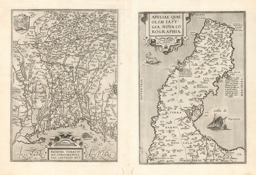
Patavini Territorii Corographia, Iac Castaldo Auct./ Apuliae Quae Olim Iapygia, Nova Corographia. Jacobo Castaldo Auctore.
$500.00
Acquire
- Digital Map Information
- Suitable for large format printing
- DPI: 600
- File Size: 40.49 MB
- File Type: ZIP / TIFF
- ICC color profile embedded
- Delivered instantly via download link
This is Abraham Ortelius' 1573 engraving containing maps of the Italian regions of Padua and Apulia: respectively, the immediate region inland of Venice and the bootheel of Italy. Both maps Ortelius credits to the 16th century Italian doyen of geography, Giocomo Gastaldi; the map illustrates the transmission to the Low Countries of both the traditional medium and the content of 16th century Italian geography. (more details)
Ogilby's innovative strip maps.
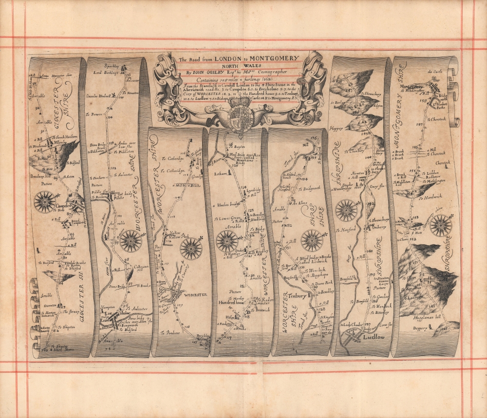
The road from London to Montgomery North Wales...
$400.00
Acquire
- Digital Map Information
- Suitable for large format printing
- Full resolution TIFF file
- ICC color profile embedded
- Delivered instantly via download link
A c. 1675 strip road map by John Ogilby depicting the road from London to Montgomery in Wales. This map represents an early and thus innovative example of this distinctive genre. It was engraved for Ogilby's Britannia, Volume the first: An illustration of the kingdom of England and dominion of Wales. (more details)