
NEW ACQUISITIONS
Belgraves and Bahrain.

Guide Map of the Bahrain islands.
$1,800.00
Acquire
- Digital Map Information
- Suitable for large format printing
- File Size: 13.47 MB
- File Type: ZIP / TIFF
- ICC color profile embedded
- Delivered instantly via download link
This is a 1951 pictorial map of Bahrain published by the Augustan Press for James Belgrave's guidebook Welcome to Bahrain. It captures the island at a time when it was undergoing a social, economic, and cultural transformation driven by Belgrave's own father, a long-time British 'advisor' and effective ruler of the island. (more details)
French Territorial Claims in North America.

Carte d'une partie de l'Amérique Septentrionale, pour servir à l'histoire de la dernière guerre.
$1,500.00
Acquire
- Digital Map Information
- Suitable for large format printing
- File Size: 26.55 MB
- File Type: ZIP / TIFF
- ICC color profile embedded
- Delivered instantly via download link
This is Louis Le Rouge's 1755/1787 map of the British Colonies in North America, surrounded by French territorial claims as they stood at the beginning of the French and Indian War (1754 - 1763). While the present state was published just after the American Revolutionary War (1775 - 1783), it was composed and first printed in 1755, and was edited in 1777 to provide a record of the earlier conflict. Hence, its focus is on the battles of the earlier conflict and the extensive inclusion of Native American tribes and settlements. (more details)
Early Glimpses of Mexico, California and the Gulf Coast.
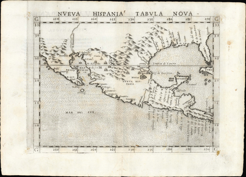
Nueva Hispania Tabula Nova.
$1,250.00
Acquire
- Digital Map Information
- Suitable for large format printing
- Full resolution TIFF file
- ICC color profile embedded
- Delivered instantly via download link
This is Girolamo Ruscelli's 1561 Nueva Hispania Tabula Nova, an early and influential map of what would become Mexico, California, Texas, and Florida. Ruscelli's work is an enlarged and improved version of the 1548 map of the same region by fellow Venetian Giacomo Gastaldi. Apart from the Gastaldi, Ruscelli's map is the earliest to focus so closely on the southern parts of what would become the United States and is one of the earliest acquirable maps to reflect Spanish exploration and colonization in the Americas. Overall, along with the map covering the East Coast north of Florida, this is among the earliest maps to focus on North America. (more details)
America Declares Itself a Global Power.

Spanish Possessions in the West Indies. Conkey's Latest Map of the West Indies. / Spanish East Indies.
$950.00
Acquire
- Digital Map Information
- Suitable for large format printing
- Full resolution TIFF file
- ICC color profile embedded
- Delivered instantly via download link
This is the W. B. Conkey Company's 1898 map of the West and East Indies (Philippines), highlighting Spanish possessions. It was prepared in the context of the Spanish-American War (1898), which led to the United States seizing control or oversight of the Philippines, Cuba, and Puerto Rico. (more details)
Crossroads of the Finger Lakes.

Bird's Eye View of Geneva Ontario County N.Y.
$800.00
Acquire
- Digital Map Information
- Suitable for large format printing
- File Size: 44.99 MB
- File Type: ZIP / TIFF
- ICC color profile embedded
- Delivered instantly via download link
This is Augustus Koch's 1873 bird's-eye view of Geneva, New York, on the banks of Seneca Lake in the Finger Lakes Region. It depicts the town at the peak of a railroad building boom on the eve of the financial Panic of 1873. (more details)
Among the Earliest Acquirable Contemporary Maps of Russia.
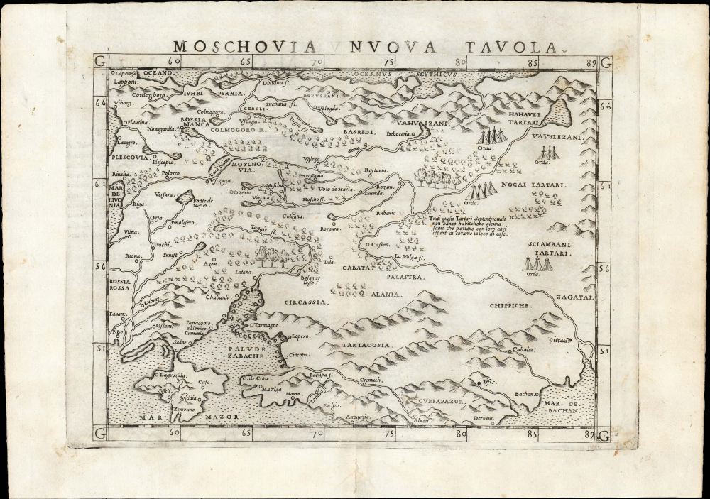
Moschovia Nuova Tavola.
$750.00
Acquire
- Digital Map Information
- Suitable for large format printing
- Full resolution TIFF file
- ICC color profile embedded
- Delivered instantly via download link
This is the 1561 first Ruscelli edition of Giacomo Gastaldi's map of Muscovy, one of the earliest acquirable modern maps of Russia. It is among the earliest obtainable maps to include Paolo Giovio's geography from the Muscovite Embassy. (more details)
Crossroads of the North American Fur Trade.
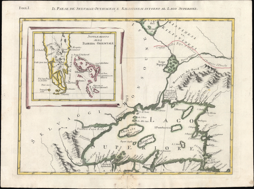
Folg. I. Il Paese deʼ Selvaggi Outauacesi, e Kilistinesi Intorno al Lago Superiore.
$750.00
Acquire
- Digital Map Information
- Suitable for large format printing
- File Size: 12.26 MB
- File Type: ZIP / TIFF
- ICC color profile embedded
- Delivered instantly via download link
This is Antonio Zatta's 1778 map of Lake Superior and environs, issued at the height of the American Revolutionary War (1775 - 1783). Although separately published, the sheet forms Plate I of Zatta's 12-sheet Italian edition of John Mitchell's seminal map of eastern North America. Zatta, however, includes additions not present on Mitchell's map, relating to the names of rivers, native peoples, and settlements. (more details)
Talking polar bears anyone?
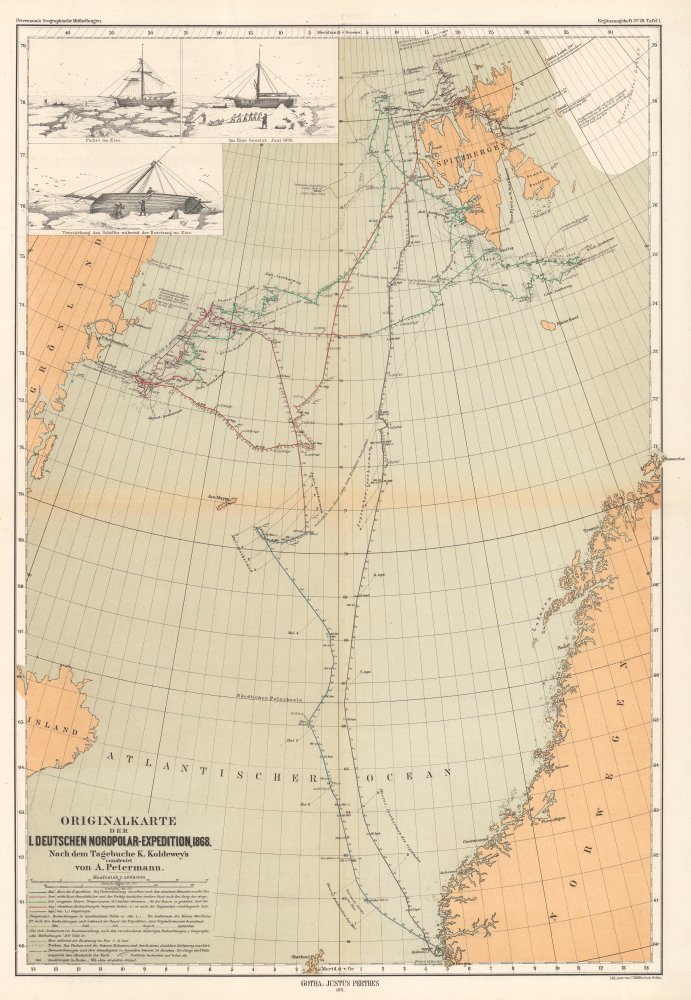
Originalkarte der I. Deutschen Nordpolar-Expedition, 1868.
$550.00
Acquire
- Digital Map Information
- Suitable for large format printing
- File Size: 11.79 MB
- File Type: ZIP / TIFF
- ICC color profile embedded
- Delivered instantly via download link
This is an 1871 Augustus Petermann map of Svalbard and the Arctic Ocean. The map records the 1868 First German North Polar Expedition, which, to this day, maintains the records for the highest northern latitude reached by a sailing ship without auxiliary drive. (more details)
Civilian nuclear energy in the Senate.

Senate Debate on Atomic Energy.
$500.00
Acquire
A powerful image, this is George White's 1954 original art for a political cartoon presenting the U.S. Capitol exploding in an atomic mushroom cloud. The piece references the contemporary 'Senate Debate on Atomic Energy' that appears within the cloud. President Eisenhower ('Ike') occupies the lower-right corner and is plugging his ears against the 'explosion'. (more details)
Emerging national capital.
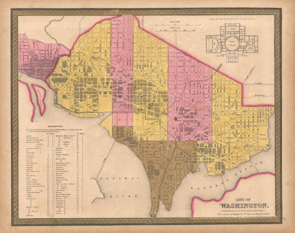
City of Washington.
$350.00
Acquire
- Digital Map Information
- Suitable for large format printing
- File Size: 14.24 MB
- File Type: ZIP / TIFF
- ICC color profile embedded
- Delivered instantly via download link
This is Samuel Augustus Mitchell's 1848 city map of Washington D.C., an emerging city still under construction when this map was published. The plan is a combination of existing urbanization and projections. Nearby Georgetown, also included, was much more developed. (more details)
'Public health crisis'.
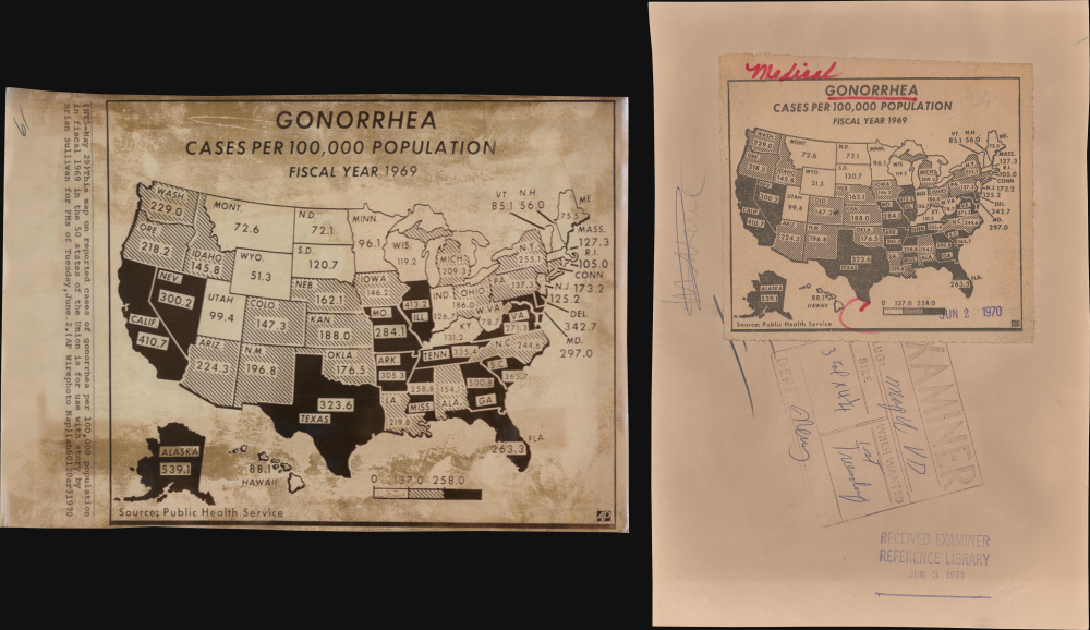
Gonorrhea Cases Per 100,000 Population Fiscal Year 1969.
$275.00
Acquire
This is a 1970 Associated Press map of the United States highlighting gonorrhea cases. Gonorrhea and other venereal diseases were a growing concern in 1970, and public health officials rolled out multiple educational campaigns to curb their spread. The map was created for an article by Brian Sullivan for the AP wire service about the rising number of gonorrhea cases nationwide. (more details)
On the cover of Ristow's 'Maps and Mapmakers.'

Map of the Circuit of Ten Miles Around the City of Philadelphia With the names of Villages, Roads, Milles, Property Owner, Taverns, etc. / Sidney's Map of Ten Miles round.
$3,800.00
Acquire
- Digital Map Information
- Suitable for large format printing
- File Size: 35.64 MB
- File Type: ZIP / TIFF
- ICC color profile embedded
- Delivered instantly via download link
This is an attractive example of J. C. Sidney's 1847 map of Philadelphia, covering the city and its vicinity 'Ten Miles round'. Smith, the publisher, considered this one of the 'most successful of his maps'. Water Ristow, in American Maps and Mapmakers, placed this map on the cover, devoted a full-page illustration to it, and included several pages of text, underscoring its significance as an example of mid-19th-century American map publishing. Indeed, its producers were a who's who of Philadelphia map publishing: Robert Persall Smith, Norman Friend, Augustus Köllner, Peter Steven Duval, and James Charles Sidney. (more details)
Prettiest village in Maine.
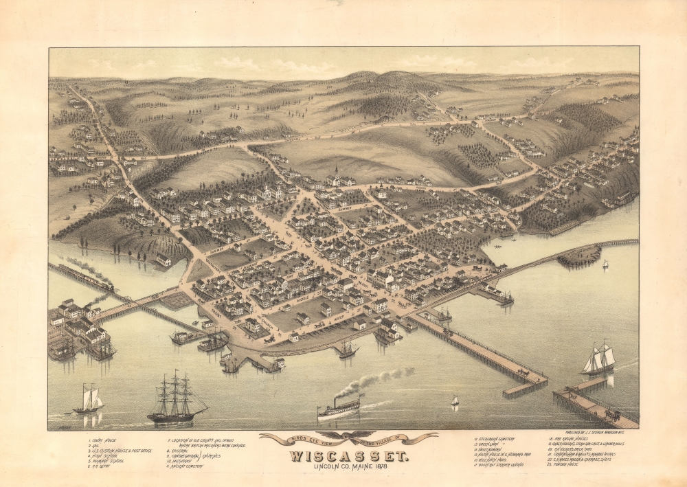
Bird's Eye View of the Village of Wiscasset, Lincoln Co. Maine 1878.
$2,750.00
Acquire
- Digital Map Information
- Suitable for large format printing
- File Size: 40.17 MB
- File Type: ZIP / TIFF
- ICC color profile embedded
- Delivered instantly via download link
A striking two-color 1878 chromolithograph bird's-eye view of Wiscasset, Maine, issued by J. J. Stoner and Albert Ruger. This is the only known bird's-eye view of Wiscasset. (more details)
British Plan to 'Link India and the Yangtze.'
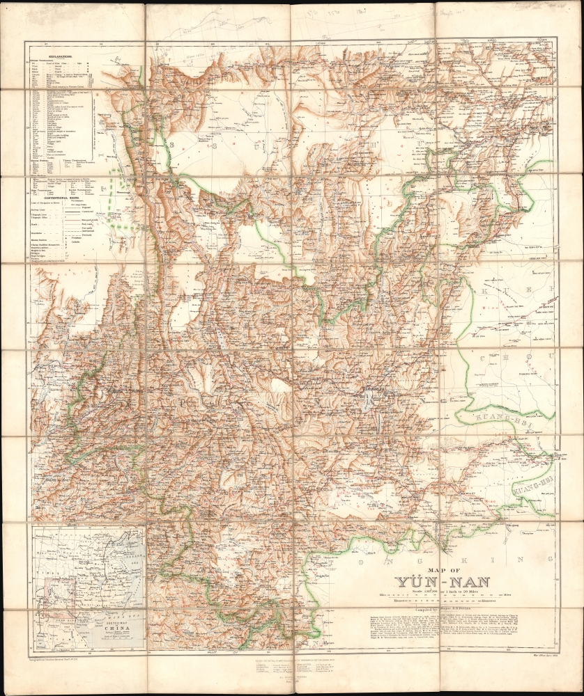
Map of Yün-nan. Topographical Section General Staff, No. 2112.
$2,750.00
Acquire
- Digital Map Information
- Suitable for large format printing
- File Size: 69.49 MB
- File Type: ZIP / TIFF
- ICC color profile embedded
- Delivered instantly via download link
This large folding map of Yunnan Province, China, was prepared by British military officer H. R. Davies in 1906 for the War Office. It was the culmination of years of travel and research by Davies, aimed in particular at planning a British railway to Yunnan that could compete with the French Kunming-Haiphong Railway, then under construction. Davies' map represented a major advancement in the cartography of Yunnan at a time when the province was being eyed by both the British and French as an entry point into China and a link with their wider Asian empires. (more details)
How a wood and paper city burns.
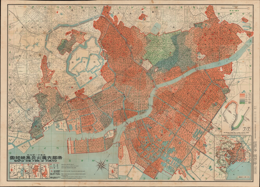
帝都大震火災系統地圖 / Map of the Fire of Tokyo.
$2,500.00
Acquire
- Digital Map Information
- Suitable for large format printing
- Full resolution TIFF file
- ICC color profile embedded
- Delivered instantly via download link
An exceptional example of an infographic masterpiece detailing the ignition and development of the Great Fire of Tokyo following the 1923 Great Kanto Earthquake. This partially bilingual 1923 map of the Great Tokyo Fire was issued by the Relief Information Bureau of Tokyo Imperial University just four months after the disaster. It focuses on ignition points and on the strong winds that coincided with the earthquake, which caused fire to spread rapidly and eventually burn down much of the dense wooden city. This example includes the original index, which we have never seen before, as well as its paper sleeve. (more details)
First and most important map of the Adirondacks.

Map of the New York Wilderness.
$2,200.00
Acquire
- Digital Map Information
- Suitable for large format printing
- Full resolution TIFF file
- ICC color profile embedded
- Delivered instantly via download link
A rare 1869 edition of William Watson Ely's map of New York's Adirondack Mountains - the first large-scale map of the Adirondacks based on first-hand reconnaissance and survey work. (more details)
Supplying the City and Suburbs with Water.
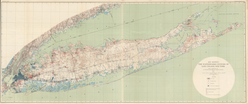
Map Showing the Waterworks Systems of Long Island, New York.
$1,500.00
Acquire
- Digital Map Information
- Suitable for large format printing
- File Size: 88.83 MB
- File Type: ZIP / TIFF
- ICC color profile embedded
- Delivered instantly via download link
This is a large-format 1903 map of Long Island by A.C. Veatch and Isaiah Bowman of the U.S. Geological Survey. It highlights the island's waterworks system, an essential factor in Long Island's rapid development in the early 20th century. (more details)
World War II Era Pictorial Map of the Cape.
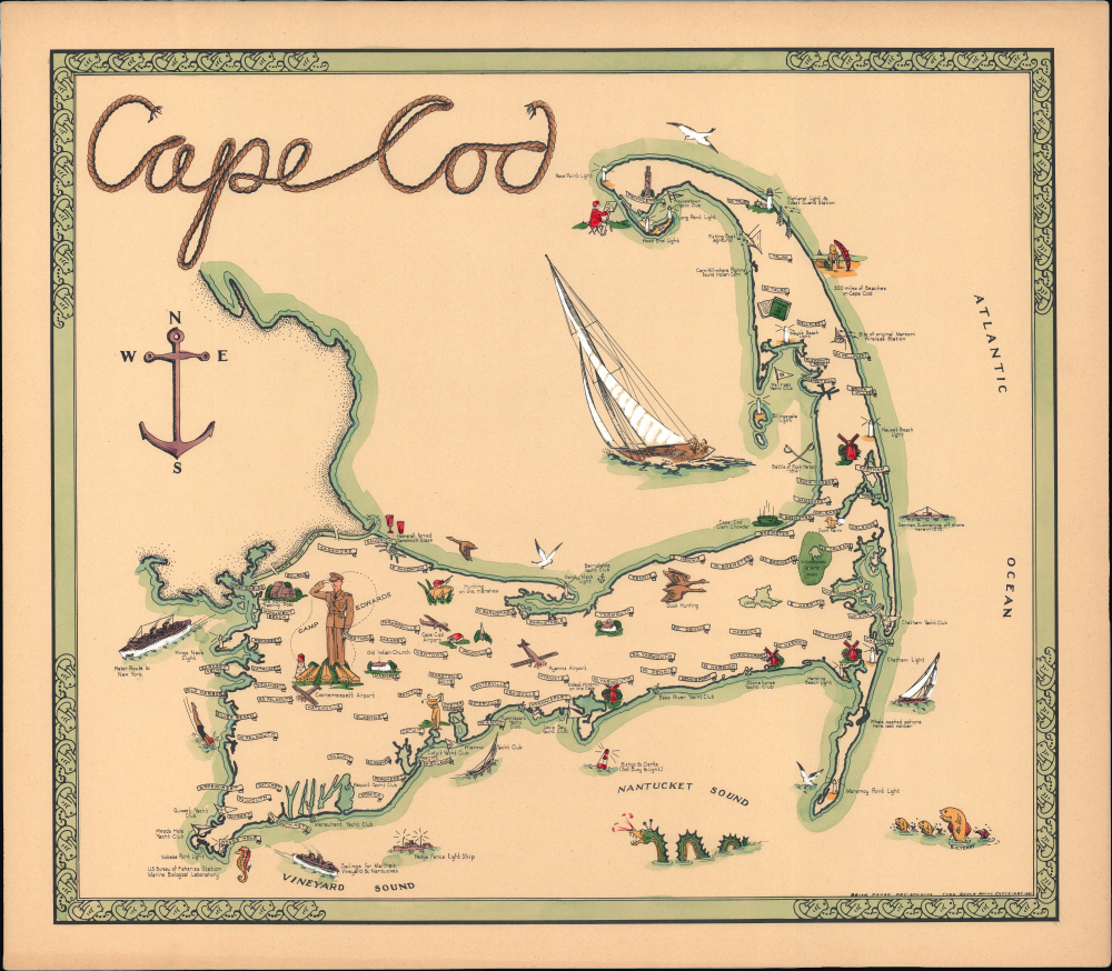
Cape Cod.
$800.00
Acquire
- Digital Map Information
- Suitable for large format printing
- File Size: 23.12 MB
- File Type: ZIP / TIFF
- ICC color profile embedded
- Delivered instantly via download link
This is a 1941 hand-colored pictorial map of Cape Cod, Massachusetts, prepared by Brick House Art Studios. An exemplary pictorial map of the era, it lovingly celebrates the culture, environment, and history of Cape Cod. (more details)
Syndey near the End of the Colonial Era.
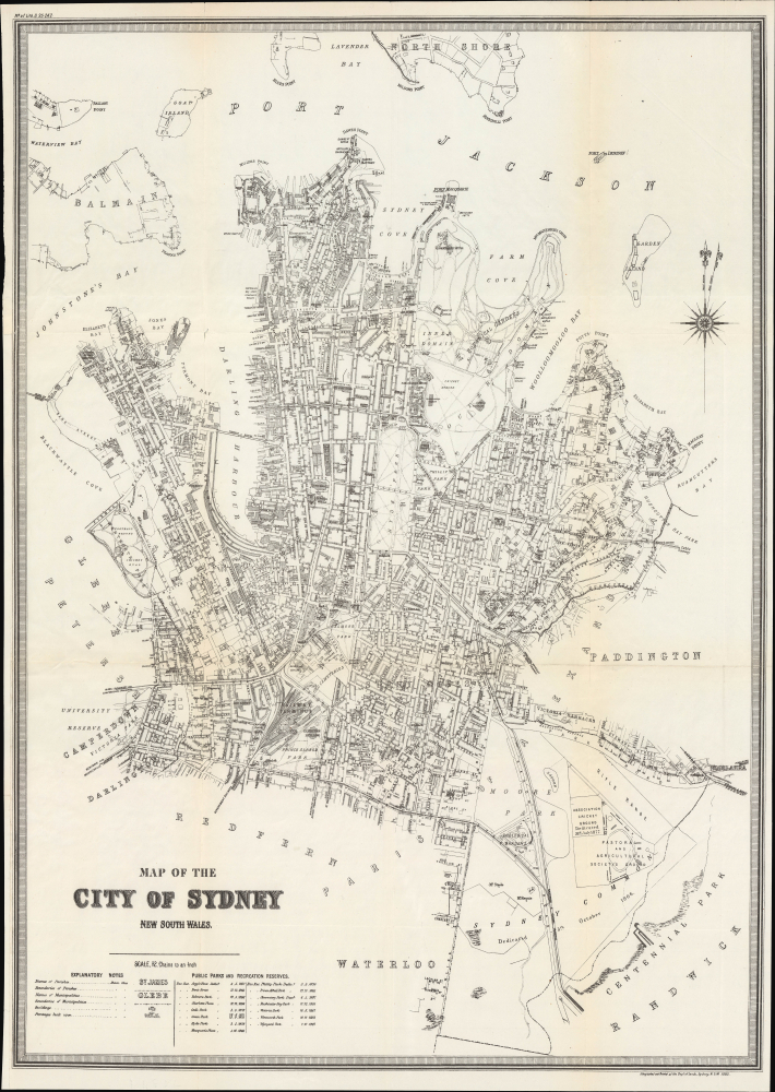
Map of the City of Sydney New South Wales.
$750.00
Acquire
- Digital Map Information
- Suitable for large format printing
- File Size: 28.28 MB
- File Type: ZIP / TIFF
- ICC color profile embedded
- Delivered instantly via download link
This is a 1895 city plan of Sydney, New South Wales, Australia, prepared by the colony's Department of Lands. It presents the city during a period of rapid growth, when it was adding suburbs and developing world-class parks and infrastructure. (more details)
Legacy of Quinnipiac.
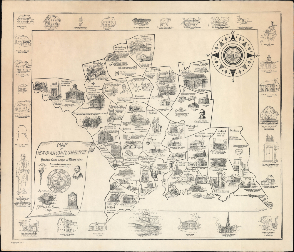
Map of New Haven County, Connecticut.
$500.00
Acquire
- Digital Map Information
- Suitable for large format printing
- File Size: 16.99 MB
- File Type: ZIP / TIFF
- ICC color profile embedded
- Delivered instantly via download link
This is a scarce 1941 historical pictorial map of New Haven County, Connecticut, prepared by S. Jerome Hoxie for the New Haven County League of Women Voters. It celebrates the county's history from colonial times to the late 19th century. (more details)