
An early glimpse at the Panama Canal.
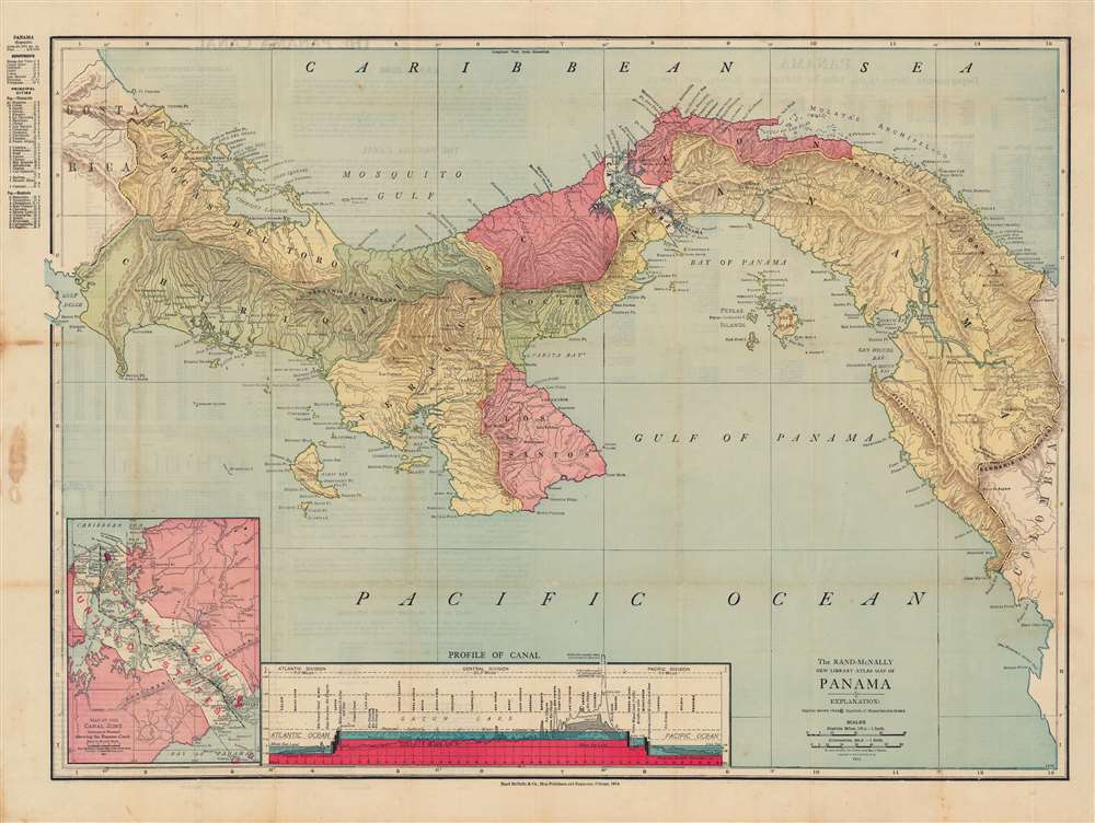
The Rand-McNally new library atlas map of Panama.
sold
- Digital Map Information
- Suitable for large format printing
- Full resolution TIFF file
- ICC color profile embedded
- Delivered instantly via download link
This is a beautiful 1913 Rand McNally map of Panama, highlighting the Panama Canal, which was completed around the time of publication. The map gives some sense of the incredible difficulties that had to be overcome in the construction of the canal, and the means employed. (more details)
Published shortly after the Adirondack Park was created.

Map of the Adirondack Wilderness.
sold
- Digital Map Information
- Suitable for large format printing
- Full resolution TIFF file
- ICC color profile embedded
- Delivered instantly via download link
This is an 1905 Seneca Ray Stoddard map of the Adirondacks, New York, highlighting the Adirondack State Park. This one of the earliest obtainable commercial maps of the Adirondack Wilderness, published not long after the park's founding, at the height of the Naturalist Movement and the Adirondack Gilded Age. (more details)
A spectacular view.

Bird's-Eye View from Summit of Mt. Washington; White Mountains, New-Hampshire.
sold
- Digital Map Information
- Suitable for large format printing
- File Size: 135.45 MB
- File Type: ZIP / TIFF
- ICC color profile embedded
- Delivered instantly via download link
A dramatic 1902 top-down George H. Walker chromolithograph bird's-eye view of Mt. Washington and the White Mountains of New Hampshire. View maps of this style became popular in Europe in the second half of the 19th century, but his is the first such we are aware of to highlight an American mountain. The clever view can be rotated with the uppermost portion always being right-side up. Landmarks, including Lake Winnepesaukee, Sunday River, Sebago Lake, Portland, and the Isle of Shoals to name just a few of the 189 places noted. (more details)
Stunning pictorial map of Jerusalem.
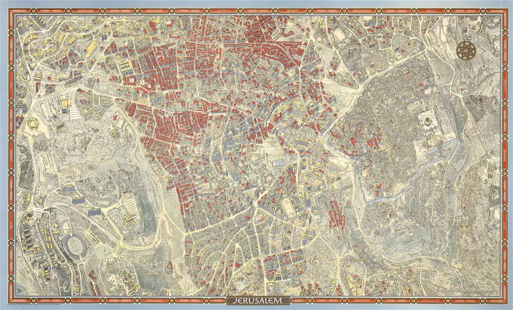
Jerusalem.
sold
This is a 1972 second edition Herman Bollmann bird's-eye view pictorial map of Jerusalem accompanied by the original mailing tube and key - these latter two items being of exceptional rarity. (more details)
Wonderful map of the Virgin Islands.
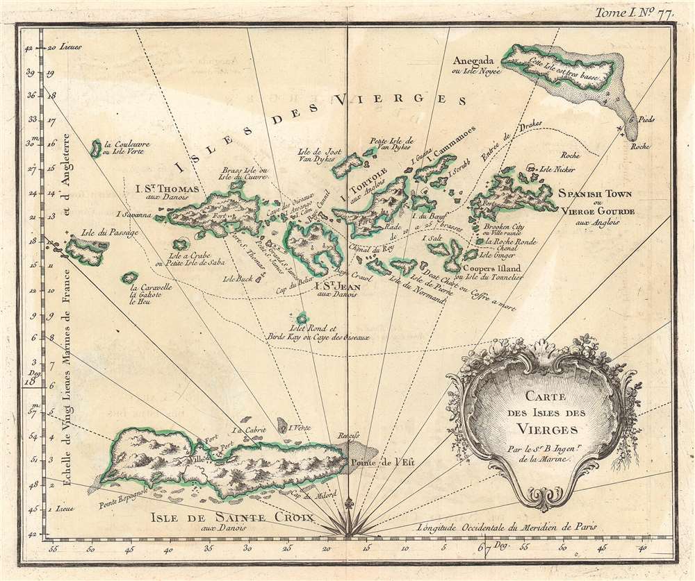
Carte des Isles des Vierges.
sold
- Digital Map Information
- Suitable for large format printing
- DPI: 600
- File Size: 12.55 MB
- File Type: ZIP / TIFF
- ICC color profile embedded
- Delivered instantly via download link
This is a finely engraved 1764 Jacques-Nicolas Bellin map of the Virgin Islands. Coverage embraces by the modern-day U.S. Virgin Islands and the British Virgin Islands. including St. Croix, St. Thomas, St. John, Tortola, Virgin Gorda, and Anegada. Beautifully detailed, topographical and coastal features appear, along with forts, mountains, anchorages, and navigation channels. A striking decorative title cartouche occupies the lower right. (more details)
Old New York.

City of New-York.
sold
- Digital Map Information
- Suitable for large format printing
- DPI: 600
- File Size: 15.9 MB
- File Type: ZIP / TIFF
- ICC color profile embedded
- Delivered instantly via download link
This hand-colored map of New York City is a lithograph engraving, dating to 1850 by the American mapmaker S.A. Mitchell Sr. The map depicts the island of Manhattan from 37th street (Kips Bay) south to Battery Park and Brooklyn from Williamsburg to Columbia St. The whole is shown in magnificent detail with many important buildings, ranging from the Brooklyn Naval Yard to important hotels and churches, depicted and labeled. Shading illustrates the extent of major development as of, roughly 1835. The route of the Harlem Railroad, from City Hall part, then along the Bowler, then 4th Avenue towards Harlem is highlighted in orange. Tables to either side of the map key important locations, from hotels, to churches, to civic buildings. (more details)
The hunt for El Dorado.
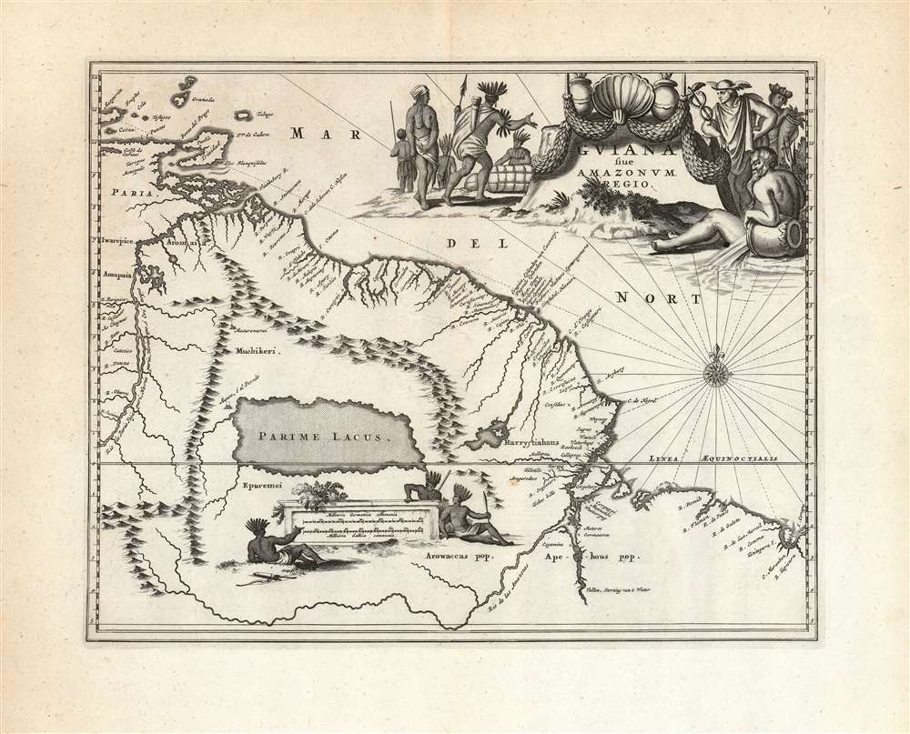
Guiana sive Amazonum Regio.
sold
- Digital Map Information
- Suitable for large format printing
- DPI: 600
- File Size: 35.21 MB
- File Type: ZIP / TIFF
- ICC color profile embedded
- Delivered instantly via download link
This beautiful engraving is a 1673 Arnold Montanus map of the northwestern parts of South America, including Lake Parima (Parime Lacus), revealing the hoped-for route to El Dorado. Coverage embraces from Isla Margarita and the Orinoco Delta eastward as far as Tampico and southwards as far as the Amazon River. Geographically, the map is a faithful copy of a map of the same title engraved by Jodocus Hondius Jr. in 1629, and published by the Blaeu and Hondius firms throughout the 17th century. This whole lineage of maps derives from Hessel Gerritz' seminal Guaiana ofte de Provincien tusschen Rio de las Amazonas ende Rio de Yuiapari ofte Orinoque, a map based equally on Gerritz' own travels to the West Indies and the firm belief of travelers and geographers alike in the existence of El Dorado. This example appeared in Montanus' 1673 Unbekannte Neue Welt, having been engraved by Montanus for John Ogilby's America in 1671 (there is no alteration to the plate between these two issues, and no clear distinction to be made between them). (more details)
Bellin's beautiful mapping of Bombay (Mumbai).

Plan De Bombay et de Ses Environs.
sold
- Digital Map Information
- Suitable for large format printing
- DPI: 600
- File Size: 13.14 MB
- File Type: ZIP / TIFF
- ICC color profile embedded
- Delivered instantly via download link
This is a beautifully hand-colored c. 1750 Jacques Nicolas Bellin map of Bombay (Mumbai), India. Bellin's map illustrates Bombay as it was becoming the British East India Company's primary base of operations in India, replacing Surat to the north. It is oriented towards the east, with north at left. (more details)
Nautical chart of the Mississippi River Delta.
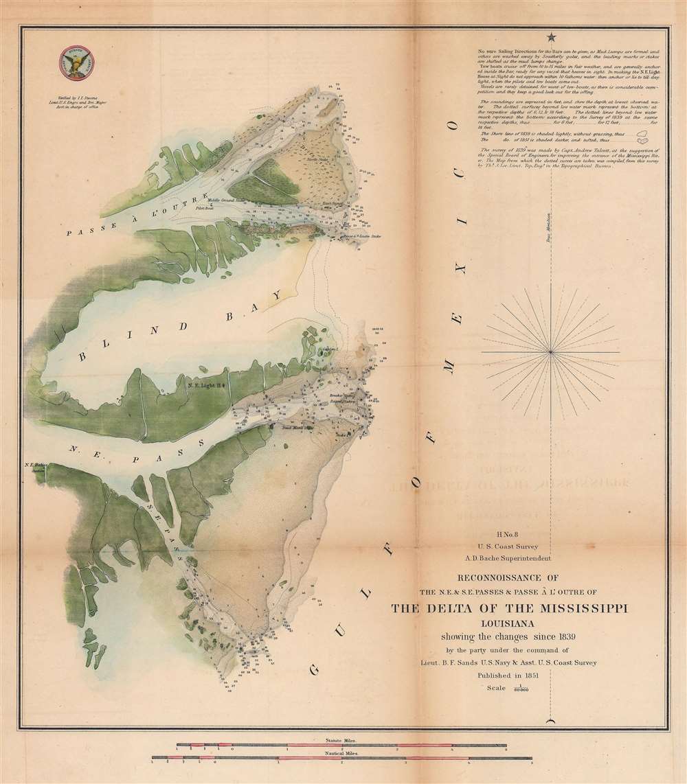
H No. 8 Reconnoissance of the N.E. and S.E. Passes and Passe A l'Outre of The Delta of the Mississippi Louisiana.
$250.00
Acquire
- Digital Map Information
- Suitable for large format printing
- DPI: 600
- File Size: 25.76 MB
- File Type: ZIP / TIFF
- ICC color profile embedded
- Delivered instantly via download link
This is an attractive 1851 U.S. Coast Survey nautical chart or maritime map of the Mississippi Delta. Depicting the Louisiana coast from Passe À L'Outre to the Southeast Pass, numerous depth soundings are indicated, and the locations of lighthouses, shoals, drift trees, and stakes are illustrated. Due to the quick and dramatic changes in the Delta area caused by sudden storms and hurricanes, charting the Mississippi Delta was one of the U.S. Coast Survey's most daunting tasks. Notes on tides, sailing instructions, and commentary on the chart are situated in the upper right corner. (more details)
Post-war Pensacola.
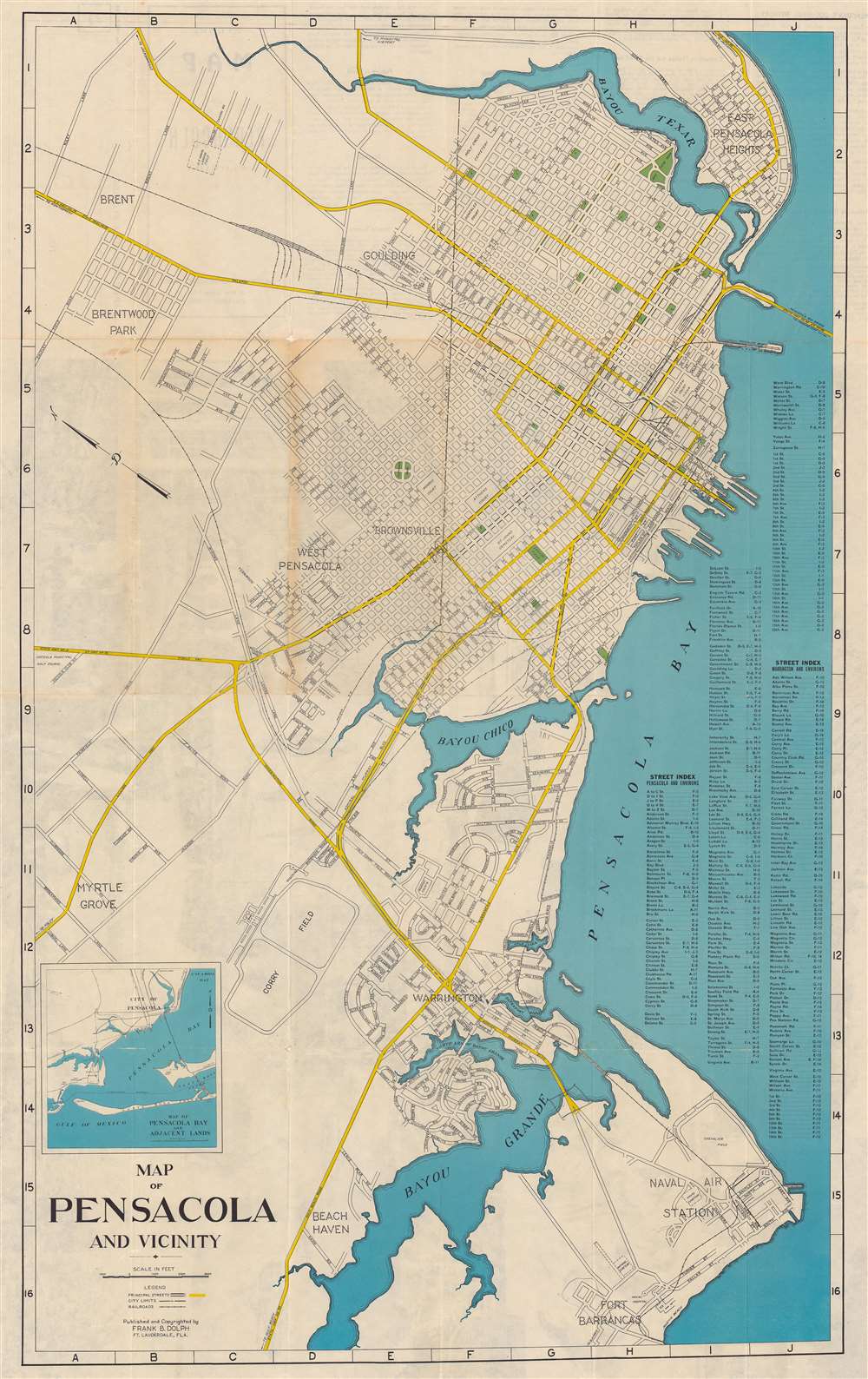
Map of Pensacola and Vicinity.
sold
- Digital Map Information
- Suitable for large format printing
- Full resolution TIFF file
- ICC color profile embedded
- Delivered instantly via download link
This is a c. 1947 Frank B. Dolph city plan or map of Pensacola, Florida, and vicinity. Parks, squares, Legion Field, and a playground all appear in green. Major thoroughfares are colored yellow and streets throughout the city are illustrated and identified. A street index is situated along the right border. An inset map of Pensacola Bay and the surrounding area occupies the lower left corner. (more details)
New Mexico's frontier history.

Historical Trails Through New Mexico the Land of Enchantment.
sold
- Digital Map Information
- Suitable for large format printing
- Full resolution TIFF file
- ICC color profile embedded
- Delivered instantly via download link
This is a fine example of Wilfred Stedman's beautifully illustrated 1940 map of the historical trails through New Mexico. Historic routes and trails are identified, including the Butterfield Trail, the Santa Fe Trail, and the Goodnight Loving Trail, among others, as well as the exploratory routes taken by Cabeza de Vaca, Coronado, Onate, Escalante, and Espejo. Steadman's map also identifies various army forts, pueblos, national and state monuments. Throughout, the map is fantastically illustrated with carriages, cowboys, soldiers, explorers, forts, wildlife, etc. It notes the only point in the United States common to four states, where the boundaries of Utah, New Mexico, Arizona and Colorado meet. The verso contains information about the various trails and the Coronado Cuarto Centennial Celebrations. (more details)
Railroads and steamship lines in early 20th century Florida.
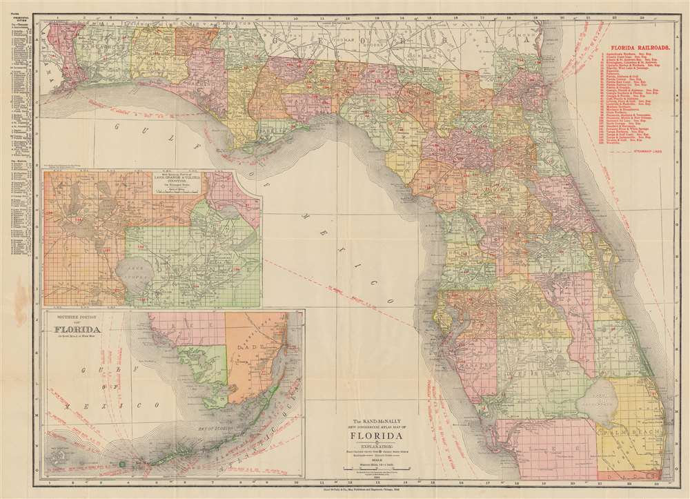
The Rand McNally New Commercial Atlas Map of Florida.
sold
- Digital Map Information
- Suitable for large format printing
- File Size: 94.53 MB
- File Type: ZIP / TIFF
- ICC color profile embedded
- Delivered instantly via download link
This is a 1912 Rand McNally map of Florida. Red overprinting highlights railroads and steamship lines operating in and around Florida. Thirty-three railroads are identified numerically and correspond with an index in the upper right. Among these are the Florida East Coast Railway, the Atlantic Coast Line, and the Tampa and Gulf Coast Railway. Steamships operating out of Jacksonville took travelers to Boston, New York, and Tampa, while other steamships leave Tampa for New York, Key West, Philadelphia, and Mobile. An inset in the lower left depicts the southern tip of Florida and the Keys along with steamship lines operating out of Key West to New Orleans, Galveston, New York, Tampico, Havana, and Puerto Rico. A second inset situated above the map of southern Florida focuses on Lake Orange and Volusia illustrating the extensive Levy Grants around Lake Monroe, the St. Johns River, and Lake Jessip. (more details)
Forgotten French influence in India.
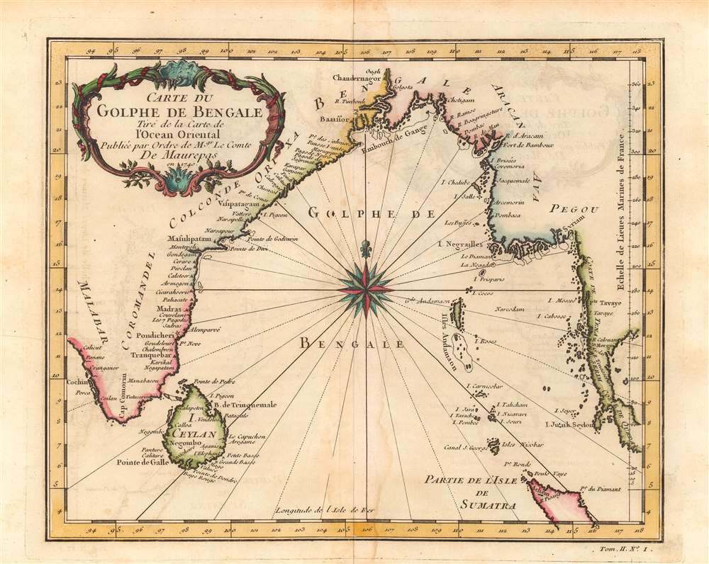
Carte du Golphe de Bengale.
sold
- Digital Map Information
- Suitable for large format printing
- Full resolution TIFF file
- ICC color profile embedded
- Delivered instantly via download link
This is Jacques-Nicolas Bellin's lovely 1740 map of the Bay of Bengal. It illustrates the region at the height of French influence in India, when they nearly surpassed the British as the dominant European power on the subcontinent. (more details)
Bonne's rendition of the Indian subcontinent.
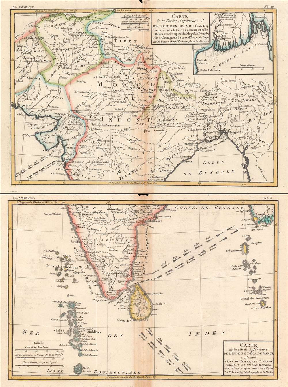
Carte de la Partie Superieure de l'Inde; Carte de la Partie Inferieure de l'Inde.
sold
- Digital Map Information
- Suitable for large format printing
- Full resolution TIFF file
- ICC color profile embedded
- Delivered instantly via download link
This is the 1780 Rigobert Bonne map of South Asia. In two sheets, it covers the entire subcontinent, from Afghanistan, Kashmir, and Tibet in the north to Ceylon, the Maldives, and the Nicobar Islands in the south. (more details)
Bonne's depiction of southern Africa and Madagascar.
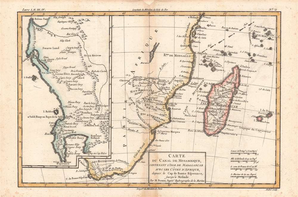
Carte du Canal de Mosambique.
sold
- Digital Map Information
- Suitable for large format printing
- DPI: 600
- File Size: 14.93 MB
- File Type: ZIP / TIFF
- ICC color profile embedded
- Delivered instantly via download link
A superb example of Rigobert Bonne and Guillame Raynal's 1780 map of Southern Africa. It is essentially two maps in one, covering the entire southern portion of the continent. (more details)
Bonne's vivid presentation of East Asia.
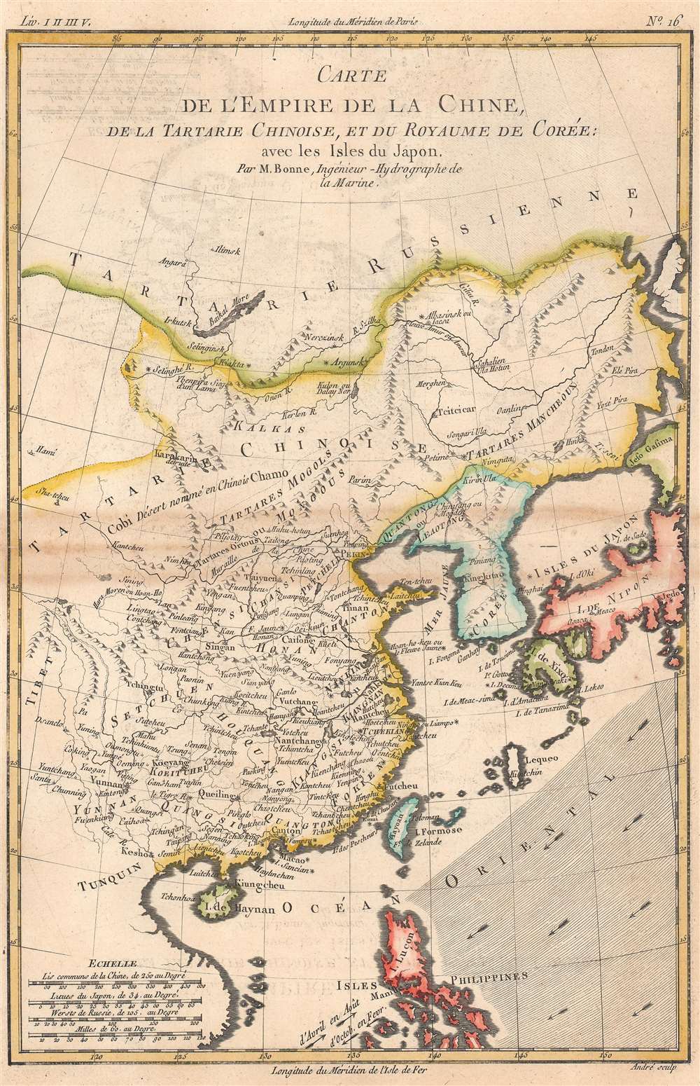
Carte de l'Empire de la Chine.
sold
- Digital Map Information
- Suitable for large format printing
- DPI: 600
- File Size: 16.3 MB
- File Type: ZIP / TIFF
- ICC color profile embedded
- Delivered instantly via download link
This is Rigobert Bonne and Guillame Raynal's 1780 map of China, Japan, and Korea. Coverage extends from 'Tartary' south as far as the Philippines, roughly corresponding to the modern-day countries of Vietnam, North Korea, South Korea, Mongolia, China, Japan, and the Philippines. (more details)
An extremely rare, previously uncatalogued Ohio wall map.
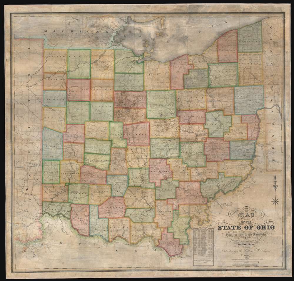
Map of the State of Ohio from the latest and best Authorities.
sold
- Digital Map Information
- Suitable for large format printing
- DPI: 600
- File Size: 165.32 MB
- File Type: ZIP / TIFF
- ICC color profile embedded
- Delivered instantly via download link
This is an impressively elusive 1831 William Chapin wall map of Ohio - one of the earliest large format wall maps of the state to exhibit a complete county structure. The state's interconnected network of roads and canals is illustrated in detail, including the National Road (then under construction), the Ohio and Erie Canal, and the Miami and Erie Canal. This map supersedes the 1825 John Kilbourne map of Ohio, expanding upon it in terms of completeness, detail, and proportion. (more details)
A beautiful large format wall map of Ireland.
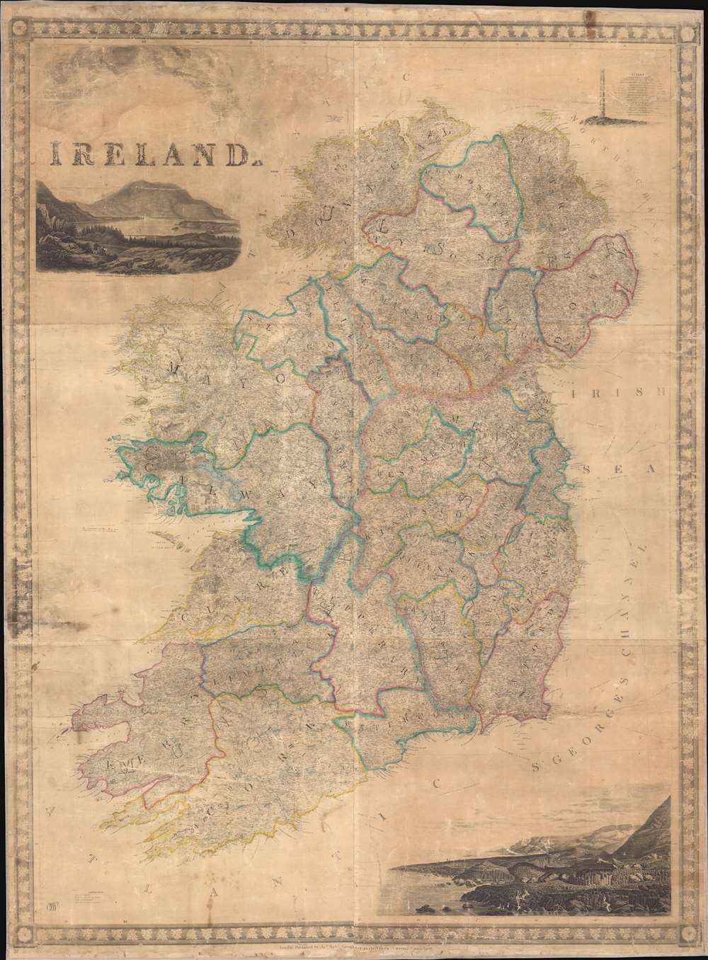
Ireland.
sold
- Digital Map Information
- Suitable for large format printing
- DPI: 300
- File Size: 84.56 MB
- File Type: ZIP / TIFF
- ICC color profile embedded
- Delivered instantly via download link
This is a c. 1846 James Wyld map of Ireland. Highly detailed, myriad cities, towns, and villages are labeled throughout, including Dublin, Belfast, Galway, and Cork. Roads and highways are also illustrated, as are lakes and rivers. Counties are labeled in block letters and outlined in various colors to allow for easy differentiation. Vignettes adorn the upper-left, upper-right, and lower right corners. (more details)
First Atlas Map of the Caribbean, and Northwestern Mexico.

Culiacanae, America Regionis Descriptio./ Hispaniolae, Cubae, Aliarumque Insularum Circumiacentium, Delineatio./ Cum Imp. et Regio./ privilegio decennali 1579.
sold
- Digital Map Information
- Suitable for large format printing
- DPI: 600
- File Size: 51.8 MB
- File Type: ZIP / TIFF
- ICC color profile embedded
- Delivered instantly via download link
This is a beautiful, original-color example of Ortelius' 1579 map of the Viceroyalty of Culiacan in Northwestern Mexico, and Ortelius' map of Cuba and the Caribbean. Moreover, this is an example of the first state of the map. While Ortelius is generally most esteemed as an editor and compiler of maps, he was an accomplished mapmaker in his own right, and this map is among those of his Theatrum of his own composition, synthesizing data drawn from Mercator's 1569 world map, Gutierrez's 1562 America map and Alonso de Santa Cruz's 1560 Isolario (sources now unobtainable by the collector). These maps, both of essential areas of recent exploration in the New World, exemplify Ortelius' trail-blazing cartographic work. (more details)
The infrastructure of colonialism in South Asia.
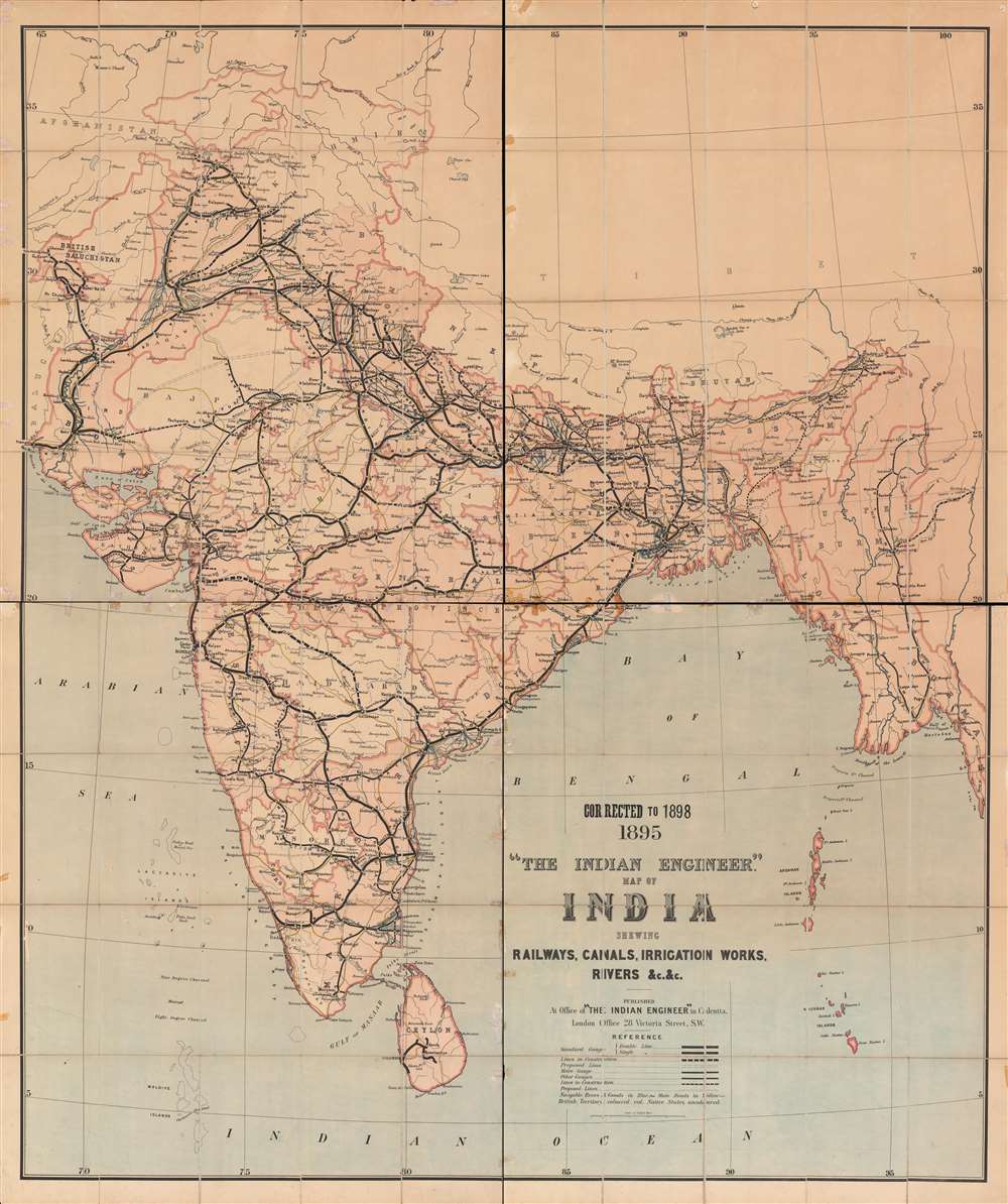
1895 Corrected to 1898 'The Indian engineer' map of India : shewing railways, canals, irrigation works, rivers, etc.
sold
- Digital Map Information
- Suitable for large format printing
- Full resolution TIFF file
- ICC color profile embedded
- Delivered instantly via download link
This is a unique and very large 1898 map of India, highlighting rail and irrigation infrastructure across the Raj. The map depicts India amid a railway and irrigation building boom that saw incredible feats of engineering and the tying together of distant corners of the Raj, but also enhanced colonial control and exploitation. (more details)