
Rare map of Cambodia first issued just after the establishment of the French protectorate in 1863.
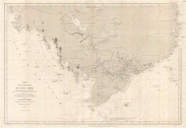
Carte de la Presqu'ile de l'Indo-Chine, depuis le port de Qui- Nhon dans le mer de Chine jusqu'à l'entrée de la Rivière de Bang-Kok dans le Golfe de Siam.
sold
- Digital Map Information
- Suitable for large format printing
- File Size: 24.51 MB
- File Type: ZIP / TIFF
- ICC color profile embedded
- Delivered instantly via download link
An extremely uncommon 1880 nautical chart or maritime map of Cambodia by the French hydrographic service, the Dépot des Cartes et Plans de la Marine. First issued in 1865, with updates to 1880, this map is roughly centered on the Cambodian capital of Phnom Penh. ... (more details)
The largest and best specific map of insular California.

La Californie ou Nouvelle Caroline, Teatro de los Trabajos Apostolicos de la Compa. E Jesus en la America Septe. Dressée sur celle que le Viceroy de la Nouvelle Espagne envoya il y a peu d'années à Mrs. De l'Academie des Sciences.
sold
- Digital Map Information
- Suitable for large format printing
- DPI: 300
- File Size: 16.89 MB
- File Type: ZIP / TIFF
- ICC color profile embedded
- Delivered instantly via download link
A landmark 1720 map showing California as an island and the first published dissemination of Fr. Eusebio Frabcusci Kino's groundbreaking explorations in New Mexico and California. Drawn by Nicolas de Fer, official Geographe de Monseigneur le Dauphin , this map ... (more details)
Historical Map of Crimea, currently a flashpoint of conflict between Russia and the Ukraine.
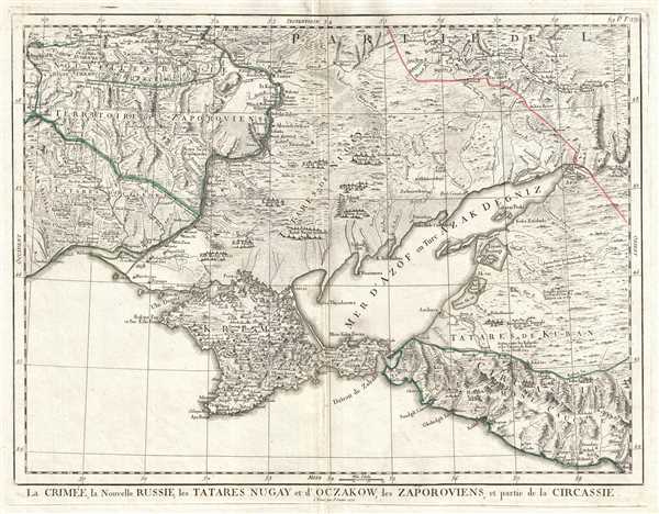
La Crimée, la Nouvelle Russie, les Tatares Nugay et d'Oczakow, les Zaporoviens, et partie de la Circassie.
sold
- Digital Map Information
- Suitable for large format printing
- DPI: 300
- File Size: 12.43 MB
- File Type: ZIP / TIFF
- ICC color profile embedded
- Delivered instantly via download link
This is a 1777 Paolo Santini map of Crimea and Ukraine. The map depicts from southern Ukraine ( Nouvelle Russie ) to the Black Sea. Crimea ( Krim ) is depicted in detail, with numerous settlements and towns labeled and rivers and topography included. Outside ... (more details)
18th Century map of the literary home of Dracula!
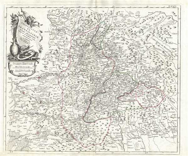
Principaute de Transilvanie et Pays Circonvoisins.
sold
- Digital Map Information
- Suitable for large format printing
- DPI: 300
- File Size: 10.08 MB
- File Type: ZIP / TIFF
- ICC color profile embedded
- Delivered instantly via download link
This is a 1784 Paolo Santini map of Transylvania, or modern-day Romania. The map depicts the Principality of Transylvania, a semi-independent state ruled by Hungarian princes and parts of the Kingdom of Hungary, Moldavia ( Moldavie ), and Wallachia ( ... (more details)
Detailed map of the Dalmatian Coast drawn during the Sixth Ottoman-Venetian War.
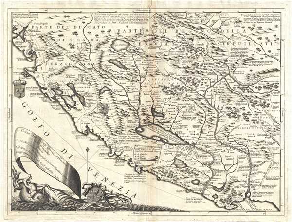
Corso delli Fiumi Drino, e Boiana nella Dalmatia, descrito dal P. Mro Coronelli Cosmografo della Seren. Republica di Venezia dedicato - Agli Em; e Reu; Signori Cardinali della Sacra congregatione de Propaganda Fide.
sold
- Digital Map Information
- Suitable for large format printing
- DPI: 300
- File Size: 12.51 MB
- File Type: ZIP / TIFF
- ICC color profile embedded
- Delivered instantly via download link
This is Vincenzo Maria Coronelli's 1690 map of Montenegro. The map covers the Dalmatian coast from Dubrovnik to Gjiri i Drinit, including all of modern day Montenegro as well as parts of adjacent Croatia, Albania, and Bosnia Herzegovina. Most of ... (more details)
Excellent French edition of a revised version of the first complete survey of the Red Sea.
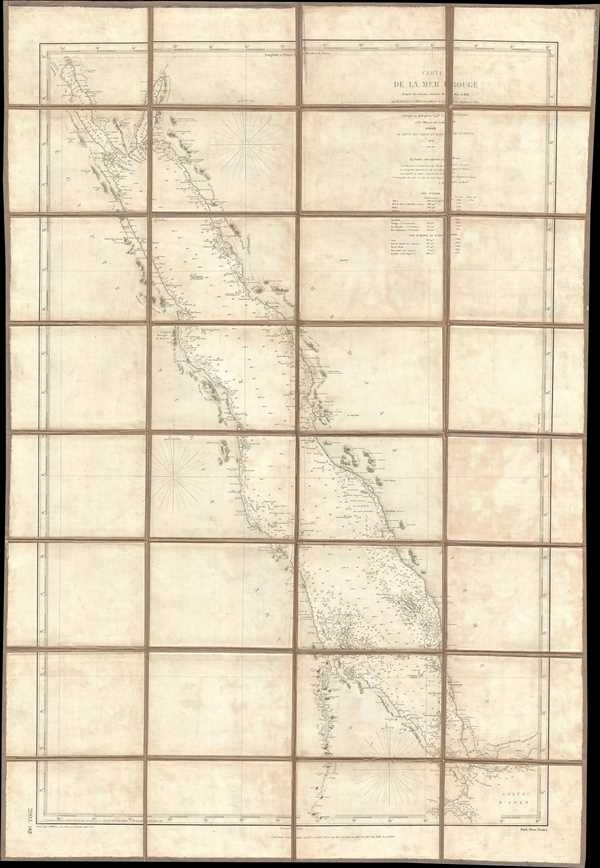
Carte de la Mer Rouge d'après les travaux exécuté de 1830 à 1834 par M.M. Elwon et Moresby, Officier de la Marine Anglaise des Indes, Corrigés en 1858 par le Capne. W.J.S. Pullen et les Officiers du Cyclops.
sold
- Digital Map Information
- Suitable for large format printing
- File Size: 22.64 MB
- File Type: ZIP / TIFF
- ICC color profile embedded
- Delivered instantly via download link
This is an 1889 French edition of a navigational chart or map of the Red Sea produced from surveys executed by Commander Thomas Elwon and Lieutenant Robert Moresby between 1830 and 1834. Elwon and Moresby were members of the English Indian Navy, ... (more details)
Amazing map of Belarus just after the First Partition of the Polish-Lithuanian Commonwealth.
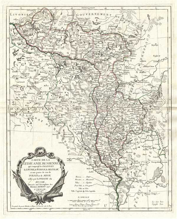
Carte de la Lithuanie Russienne qui comprend les Palatinats de Livonie, de Witepsk, de Miscislaw, et une partie de ceux de Polock et de Minsk cédés par la Pologne à la Russie.
sold
- Digital Map Information
- Suitable for large format printing
- DPI: 300
- File Size: 9.74 MB
- File Type: ZIP / TIFF
- ICC color profile embedded
- Delivered instantly via download link
This is a 1776 Paolo Santini map of Lithuania and Belarus. The map depicts voivodeships (provinces) in the Polish-Lithuanian Commonwealth, which existed from 1569-1795. Stretching from the Grand Duchy of Lithuania ( Grand Duché de Lithuanie ) ... (more details)
Amazing large hand colored chart or map of Texas Gulf Coast depicting Galveston.

Preliminary Chart No. 31 of the Sea Coast of the United States from Galveston Bay to Matagorda Bay Texas.
sold
- Digital Map Information
- Suitable for large format printing
- File Size: 9.7 MB
- File Type: ZIP / TIFF
- ICC color profile embedded
- Delivered instantly via download link
This is a large hand colored 1857 U.S. Coast Survey nautical chart or map of the Texas Gulf Coast. The map depicts from Matagorda Bay to Galveston Bay. Both East Bay and West Bay are labeled, as well as Bolivar Peninsula and Galveston Island. ... (more details)
Exceptional hand colored chart or map of Rappahannock River, Virginia.
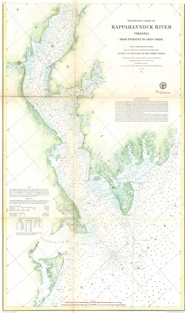
Preliminary Chart of Rappahannock River Virginia from Entrance to Deep Creek.
sold
- Digital Map Information
- Suitable for large format printing
- File Size: 6.12 MB
- File Type: ZIP / TIFF
- ICC color profile embedded
- Delivered instantly via download link
This is a hand colored 1857 U.S. Coast Survey nautical chart or map of the Rappahannock River in Virginia. The map focuses on the southern part of the Rappahannock River where it flows into the Chesapeake Bay. It depicts from Deep Creek to ... (more details)
Fantastic hand colored chart or map of the Texas Gulf Coast.

Sketch I Showing the Progress of the Survey in Section No. IX from 1848 to 1857.
sold
- Digital Map Information
- Suitable for large format printing
- File Size: 3.41 MB
- File Type: ZIP / TIFF
- ICC color profile embedded
- Delivered instantly via download link
This is a hand colored 1857 U.S. Coast Survey nautical chart or map of the Texas Gulf Coast from Corpus Christi to Galveston. The map depicts the Texas coast from Aransas Pass, St. Joseph's Island and Lamar, past Matagorda Bay, to ... (more details)
Attractive hand colored chart or map of Hampton Roads, Virginia depicting Norfolk.
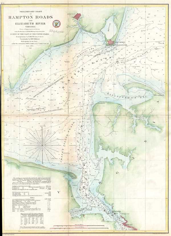
Preliminary Chart of Hampton Roads and Elizabeth River Virginia.
sold
- Digital Map Information
- Suitable for large format printing
- File Size: 5.11 MB
- File Type: ZIP / TIFF
- ICC color profile embedded
- Delivered instantly via download link
This is a hand colored 1857 U.S. Coast Survey nautical chart or map of Hampton Roads, Virginia. The map depicts from Hampton, Virgina to Norfolk, Virginia. Myriad depth soundings are indicated. Both Fort Monroe and Fort Norfolk are ... (more details)
Incredible hand colored chart or map of the Outer Banks of North Carolina.

Sketch D Showing the Progress of the Survey in Section IV 1845 to 1857.
sold
- Digital Map Information
- Suitable for large format printing
- File Size: 10.12 MB
- File Type: ZIP / TIFF
- ICC color profile embedded
- Delivered instantly via download link
This is an exceptional example of the 1857 U.S. Coast Survey's progress chart for the coasts of Virginia and North Carolina. The map depicts from Cape Henry, Virginia, south past the Pamlico Sound and Cape Hatteras, to Cape Fear. ... (more details)
Gorgeous hand colored chart or map of the Apalachicola River in Florida.

Preliminary Survey of the Mouth of Apalachicola River Florida.
sold
- Digital Map Information
- Suitable for large format printing
- File Size: 1.76 MB
- File Type: ZIP / TIFF
- ICC color profile embedded
- Delivered instantly via download link
This is a hand colored 1857 U.S. Coast Survey chart of the mouth of the Apalachicola River, Florida. The map depicts from the mouth of the Apalachicola and the town of Apalachicola, Florida out into Apalachicola Bay, which is ... (more details)
Beautifully colored Homann Heirs map of Havana and Havana Harbor.

Neu und Verbesserter Plan der St. u Hafens Havana auf der Ins. Cuba
sold
- Digital Map Information
- Suitable for large format printing
- DPI: 300
- File Size: 3.45 MB
- File Type: ZIP / TIFF
- ICC color profile embedded
- Delivered instantly via download link
This is a 1739 Bowles map of Havana, Cuba. The map depicts the city of Havana, Havana Harbor, and the surrounding area. Depth soundings are given throughout the harbor and two beautifully colored compass rose are illustrated. ... (more details)
Intricately engraved map of Central America featuring three incredible vignettes.
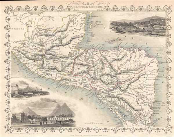
Central America.
sold
- Digital Map Information
- Suitable for large format printing
- DPI: 300
- File Size: 3.27 MB
- File Type: ZIP / TIFF
- ICC color profile embedded
- Delivered instantly via download link
This is a highly decorative 1851 map of Central America by John Tallis and John Rapkin. The map depicts from southern Mexico and the Yucatan peninsula south to extreme northern Costa Rica. Mexico, Belize (Belise), Guatemala, ... (more details)
Elaborately decorated map of the World.
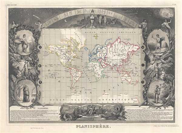
Planisphère.
sold
- Digital Map Information
- Suitable for large format printing
- DPI: 300
- File Size: 7.71 MB
- File Type: ZIP / TIFF
- ICC color profile embedded
- Delivered instantly via download link
A visually stunning decorative map of the world dating to 1852, by French map publisher Victor Levasseur. Levasseur depicts the world on a Mercator Projection, showing the six known continents as well as traces of ... (more details)
First map to definitively prove California was not an island.
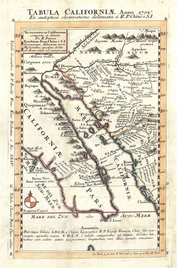
Tabula Californiae Anno 1702 Ex autoptica observatione delineata a R.P. Chino e S.I. / Via terristris in Californiam comperta et detecta per R. Patrem Eusebium Fran. Chino è S.I. Germanum. Adnotatis novis missionibus esusdem Soctis ab Anno 1698 ad annum 1701.
sold
- Digital Map Information
- Suitable for large format printing
- DPI: 300
- File Size: 3.64 MB
- File Type: ZIP / TIFF
- ICC color profile embedded
- Delivered instantly via download link
One of the most important maps in cartographic history, this is Jesuit Father Eusebio Francisco Kino's 1702 map proving definitively that California was a peninsula, not an island. Kino's map centers on the Gulf ... (more details)
Rare French edition of what has been cited as 'one of the most important pieces of anti-Communist literature'.

Carte de l'Esclavage en U.R.S.S.
sold
- Digital Map Information
- Suitable for large format printing
- File Size: 13.24 MB
- File Type: ZIP / TIFF
- ICC color profile embedded
- Delivered instantly via download link
Originally published in 1951, this is a French example of what has been cited as 'one of the most widely circulated pieces of anti-Communist literature.' The map depicts the Gulag system of forced labor camps in ... (more details)
Gold Field map of Australia drawn for the 1851 Victoria Gold Rush. Earliest known edition.
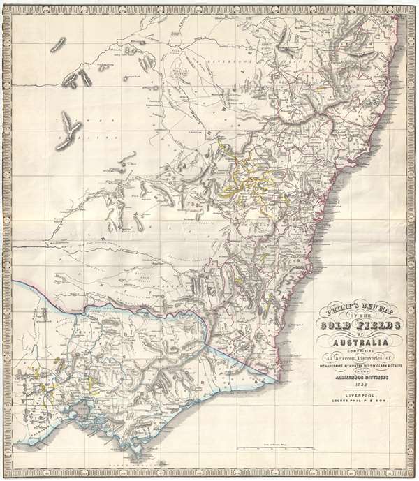
Philip's New Map of the Gold Fields of Australia comprising all the recent discoveries of Mr. Hargraves, Mr. Hunter, Revd. W. Clark and others in the auriferous districts.
sold
- Digital Map Information
- Suitable for large format printing
- DPI: 300
- File Size: 12.77 MB
- File Type: ZIP / TIFF
- ICC color profile embedded
- Delivered instantly via download link
A remarkable 1852 George Philip map of the Gold Discoveries in New South Sales, Victoria, Australia. The map, in original color, covers the southeast part of the Australian Continent from Clarence to Port ... (more details)
One of the very few maps to use the indigenous terms for Australia and New Zealand: Ulimaora (Australia), Tavai-Poenammoo (New Zealand South Island) and Ealiei-Nomauwe (North Island).
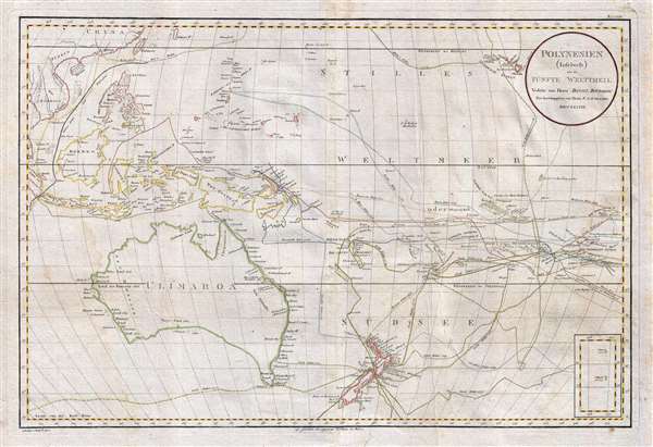
Polynesien (Inselwelt) oder der Funfte Welttheil Versasst von Herrn Daniel Djurberg.
sold
- Digital Map Information
- Suitable for large format printing
- DPI: 300
- File Size: 20.99 MB
- File Type: ZIP / TIFF
- ICC color profile embedded
- Delivered instantly via download link
This important 1789 map of Australia and Polynesia is one of the very few maps to use the indigenous terms for Australia and New Zealand: Ulimaora (Australia), Tavai-Poenammoo (New Zealand South Island) ... (more details)