
NEW ACQUISITIONS
Oahu on liberty.
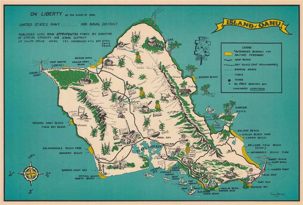
On Liberty on the Island of Oahu.
$300.00
Acquire
- Digital Map Information
- Suitable for large format printing
- File Size: 55.67 MB
- File Type: ZIP / TIFF
- ICC color profile embedded
- Delivered instantly via download link
This is a 1953 Tommy Robuck pictorial map of Oahu, Hawaii, issued for U.S. Navy personnel. The Special Services office published this map to help off-duty sailors enjoy the island, while at the same time encouraging dignified comportment. 'Authorized beaches for military personnel' are highlighted in yellow. These include Waikiki Beach, Waialae Beach at Diamond Head, Waimanalo Beach Park, Manners Beach, Waianae Army Beach, and numerous others. Pearl Harbor is prominently illustrated. Pictorial vignettes illustrate other sites around the island, including the Mormon temple, the Lualualei Naval Radio Station, Schofield Army Base, Wheeler Air Force Base, and Hickam Field. Solid black lines mark main roads, while dashed lines mark 'not recommended' dirt roads. Oahu's most plentiful resources, palm trees, pineapples, and sugar cane, appear throughout. (more details)
18th century depiction of 1st century Africa.
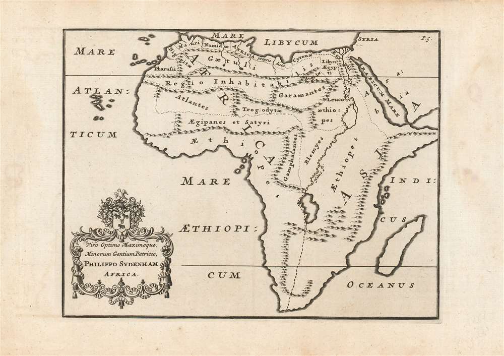
Viro Optimo Maximoque, Minorum Gentium Patricio, Philippo Sydenham Africa.
$300.00
Acquire
- Digital Map Information
- Suitable for large format printing
- DPI: 600
- File Size: 15.32 MB
- File Type: ZIP / TIFF
- ICC color profile embedded
- Delivered instantly via download link
This is a fine example of a scarce and unusual map of Africa, included in scholar John Reynolds' 1739 and 1761 editions of Pomponius Mela's first century geographical work, De Situ Orbis. The map was intended to aid the modern reader with ancient geography, by placing the first century Roman geographer's toponymy in the framework of a more modern delineation of the continent. In order to do so, despite presenting a recognizable 18th century outline of Africa, the mountains and rivers displayed on the map correspond more closely to the ideas of Mela than those of later cartographers. Most obvious among these traits is the lack of any river associated with the Atlantic, and the depiction of the River Nile with its headwaters in a massive lake reminiscent of the westernmost of the pair that would be associated with the later Roman geographer, Ptolemy. (more details)
A monumental shrine befitting the first emperor of modern Japan.
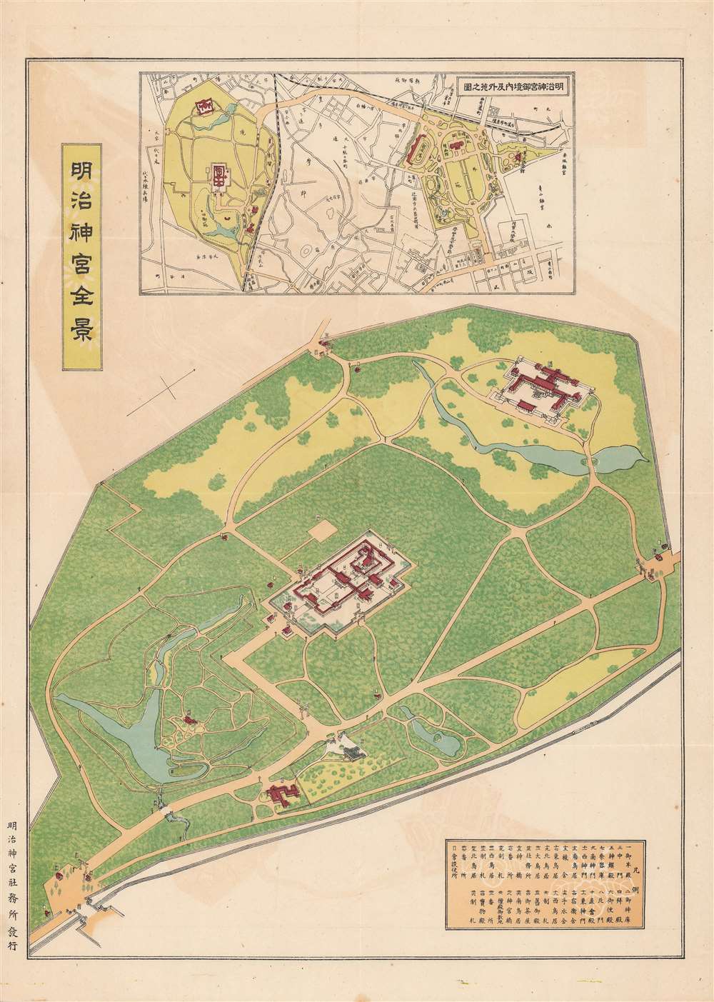
明治神宫全景 / [Panorama of the Meiji Shrine].
$300.00
Acquire
- Digital Map Information
- Suitable for large format printing
- Full resolution TIFF file
- ICC color profile embedded
- Delivered instantly via download link
This is a c. 1930 bird's-eye panoramic view of the Meiji Shrine (Meiji Jingū) in Tokyo, published by the Meiji Jingū Shamusho, the office tasked with managing the shrine. The shine has played an important historical role in Japanese national identity, especially in the years between its completion and the end of World War II. (more details)
Four years before Expo '86!
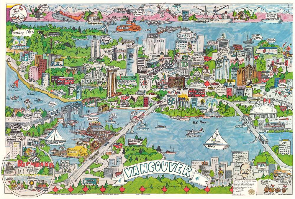
Vancouver.
$275.00
Acquire
This is a 1982 Penc McDonald pictorial map of Vancouver, British Columbia, Canada, created to promote the city. Businesses and tourist attractions, including restaurants, hotels, and many of Vancouver's largest buildings, are illustrated. Several Gray Line Tours buses take tourists sightseeing as the A. L. R. T. makes its way around town. Chinatown occupies the right border area, complete with a dragon and fireworks. Buildings proclaiming the approaching World's Fair, Expo '86, are situated just to the right of center. Several over-the-top Vancouverites make appearances around town. An inset of Richmond occupies the lower left, while an inset in the upper left celebrates the Whistler World Cup. (more details)
100 years after the California Gold Rush.
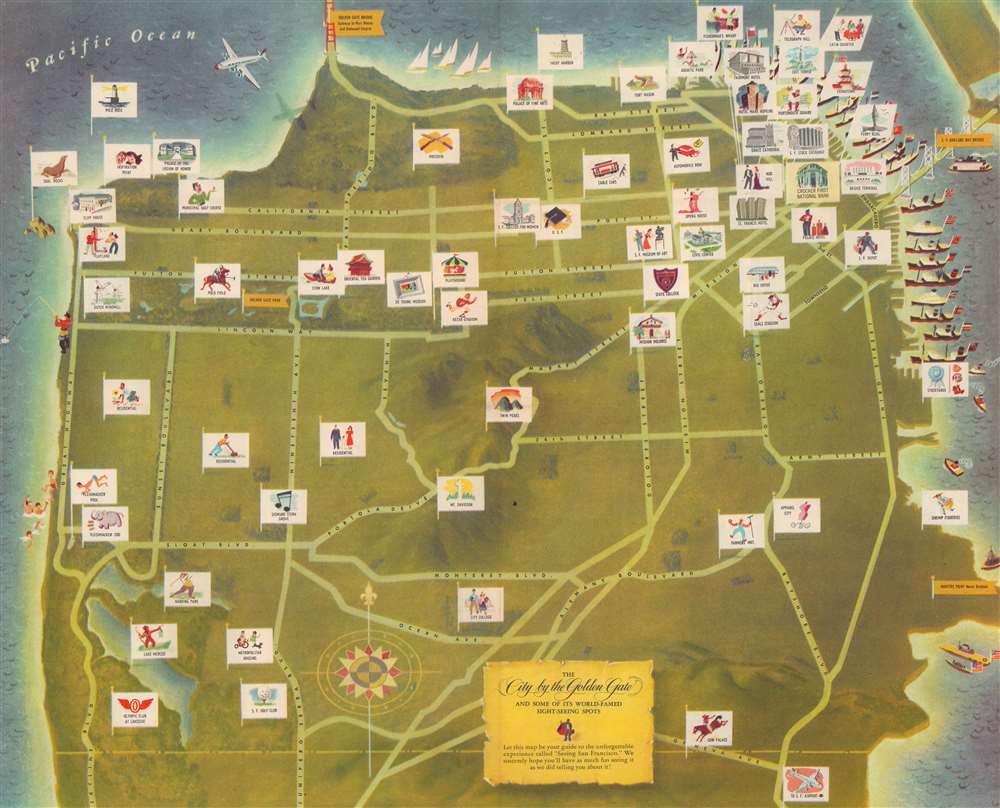
The City by the Golden Gate and some of its World-Famed Sight-Seeing Spots.
$225.00
Acquire
- Digital Map Information
- Suitable for large format printing
- File Size: 81.41 MB
- File Type: ZIP / TIFF
- ICC color profile embedded
- Delivered instantly via download link
Published one hundred years after the beginning of the California Gold Rush, this is a 1949 Crocker First National Bank pictorial map of San Francisco, California. 'Flags' with illustrations mark sites of interest. Among the noted sites are the Palace of Fine Arts, Fisherman's Wharf, Twin Peaks, and Telegraph Hill. Golden flags identify important landmarks, including the Golden Gate Bridge, Golden Gate Park, the San Francisco-Oakland Bay Bridge, and the Hunter's Point Naval Drydock. (more details)
Foundation of Canadian coast-to-coast sovereignty!

Map Shewing the Railways of Canada to Accompany Annual Report on Railway Statistics.
$7,500.00
Acquire
- Digital Map Information
- Suitable for large format printing
- Full resolution TIFF file
- ICC color profile embedded
- Delivered instantly via download link
The is the first official map of the Canadian Pacific Railroad issued after the railroad's completion in 1885. This map is of critical importance to the development of the Canadian Confederation, as well as the first complete map of the second North American intercontinental railroad. This enormous map was issued in 1886 by A. M. Edwards and Canadian Government Railways. Depicting the entire country in two sections, the map identifies ninety-three different railways throughout Canada - but the focus is the impressive Canadian Pacific Route, which stretches from Montreal to British Columbia. Maritime routes between North America and Europe and Asia, which connected to the Railroad and were part of the Canadian Pacific's marketing model, are also noted. (more details)
Thirty miles around London.
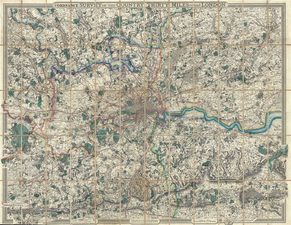
From the Ordnance Survey of the Country Thirty Miles round London.
$1,500.00
Acquire
- Digital Map Information
- Suitable for large format printing
- File Size: 365.63 MB
- File Type: ZIP / TIFF
- ICC color profile embedded
- Delivered instantly via download link
This is an uncommon 1855 George Frederick Cruchley map of London and its immediate environs. Presented here in case format, Cruchley's map depicts the area thirty miles around London, or from Hertford to Turnbridge and Godalming, and from Windsor to Chatham. Exceptionally vivid color work identifies counties, rail lines, roads, and forests. The detail throughout is extraordinary, with even such insignificant features as the ancient earthen embankments on Wimbledon Common illustrated. Similarly, market towns and market days are carefully identified throughout. Within London itself, Hyde Park, Kensington Gardens, Regent's Park, and the Tower of London are illustrated. (more details)
Best map of southeastern Australia during the 1851 Australian Gold Rush.
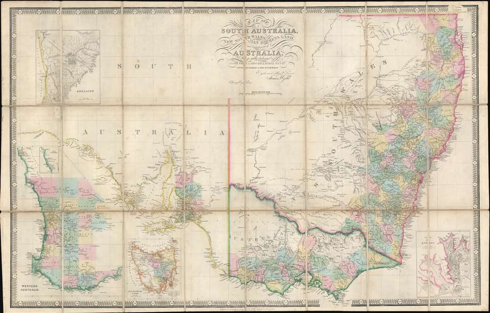
Map of South Australia, New South Wales, Van Diemens Land, and Settled parts of Australia.
$900.00
Acquire
- Digital Map Information
- Suitable for large format printing
- File Size: 45.77 MB
- File Type: ZIP / TIFF
- ICC color profile embedded
- Delivered instantly via download link
An exceptional c. 1851 James Wyld map of southeastern Australia, Tasmania (Van Diemen's Land), New South Wales, and Western Australia, issued to capitalize on the 1851 Australian Gold Rush. Probably the finest map of Australia then extant, the map draws heavily on the explorations of Sir Thomas Livingstone Mitchell (June 15, 1792 - October 5, 1855), an influential surveyor and explorer to whom the map is also dedicated. Mitchell led a series of expeditions throughout south-eastern Australia between 1830 and 1836. (more details)
The beauty and horrors of the New World.
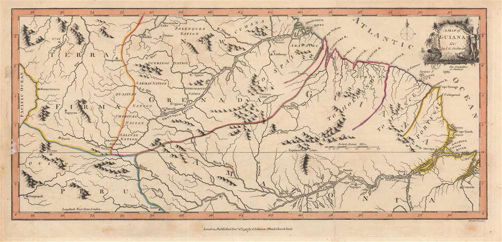
A Map of Guiana etc.
$850.00
Acquire
- Digital Map Information
- Suitable for large format printing
- DPI: 600
- File Size: 20.22 MB
- File Type: ZIP / TIFF
- ICC color profile embedded
- Delivered instantly via download link
This is a significant 1793 map of Guiana by John Gabriel Stedman and Thomas Conder, published to accompany Stedman's The Narrative of a Five Years Expedition against the Revolted Negroes of Surinam. Although parts of this region were claimed by European powers and Europeans resided near the coast, trading and managing plantations, the geography, climate, and peoples of the interior were poorly understood when this map was published. (more details)
Train and steamship from San Francisco to New York.
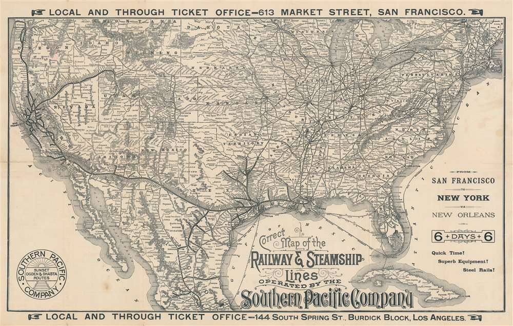
Correct Map of the Railway and Steamship Lines Operated by the Southern Pacific Company.
$650.00
Acquire
- Digital Map Information
- Suitable for large format printing
- Full resolution TIFF file
- ICC color profile embedded
- Delivered instantly via download link
This is an 1893 H. S. Crocker and Southern Pacific railroad map of the United States, promoting transcontinental rail travel. Bold lines trace Southern Pacific's routes through the southern United States, throughout California, north along the west coast to Portland, Oregon, and east to Ogden, Utah, where it connected with the Union Pacific. Towns serviced along Southern Pacific's routes are identified. While Southern Pacific's rails did not make it all the way to New York, dashed lines highlight steamship connections between New Orleans and New York, as well as Cedar Key and Punta Gorda, Florida. The rest of the nation's railroad network appears as well, underscoring the incredible ability to travel almost anywhere. (more details)
Groundbreaking reclassification of American Geological Zones.
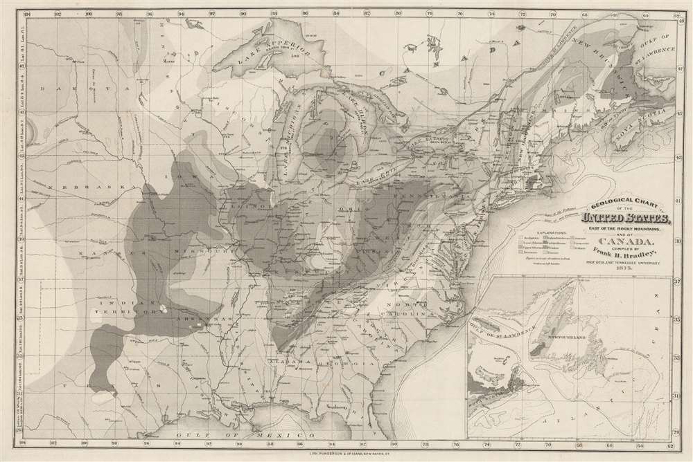
Geological Chart of the United States, East of the Rocky Mountains, and of Canada.
$400.00
Acquire
- Digital Map Information
- Suitable for large format printing
- File Size: 73.16 MB
- File Type: ZIP / TIFF
- ICC color profile embedded
- Delivered instantly via download link
This is an 1875 Frank H. Bradley geological chart or map of the eastern United States and Canada. (more details)
Encouraging emigration to Oregon and Washington.
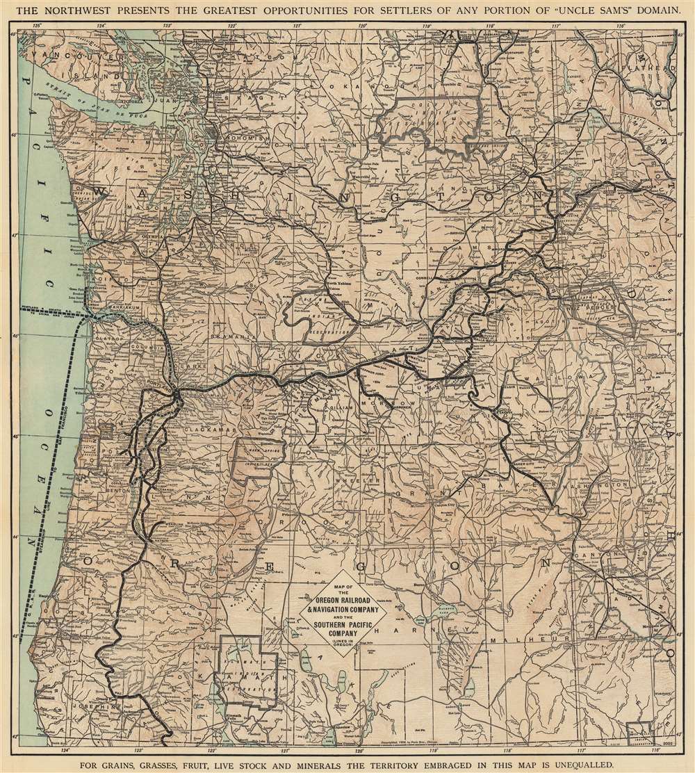
Map of the Oregon Railroad and Navigation Company and the Southern Pacific Company (Lines in Oregon).
$400.00
Acquire
- Digital Map Information
- Suitable for large format printing
- File Size: 109.21 MB
- File Type: ZIP / TIFF
- ICC color profile embedded
- Delivered instantly via download link
This is an 1898 Poole Brothers map of Washington and Oregon issued to promote Oregon emigration, land sales, and railroad travel. The map was published on behalf of the Oregon Railroad and Navigation Company and the Southern Pacific Railroad. (more details)
Branching out from Buenos Aires.
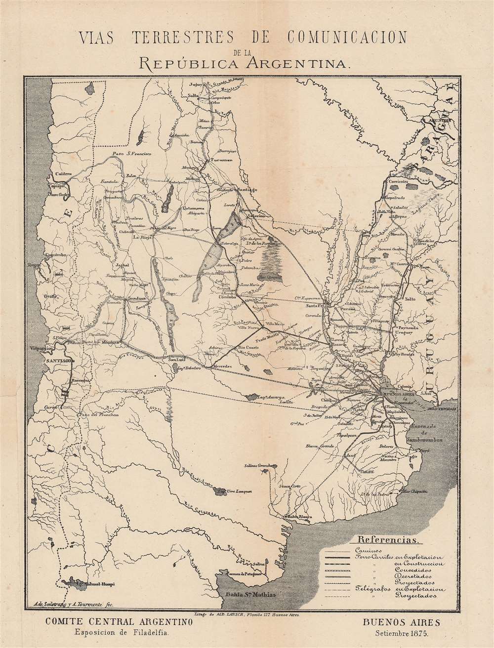
Vias terrestres de Comunicacion de la República Argentina.
$375.00
Acquire
- Digital Map Information
- Suitable for large format printing
- File Size: 14.79 MB
- File Type: ZIP / TIFF
- ICC color profile embedded
- Delivered instantly via download link
This is an 1876 map of communications and transportation in Argentina by Arturo Seelstrang, one of the most prominent Argentinian geographers of his generation. It was produced for the Philadelphia Centennial Exposition to highlight the development and modernization of Argentina. (more details)
Hobbyist gold prospectors.
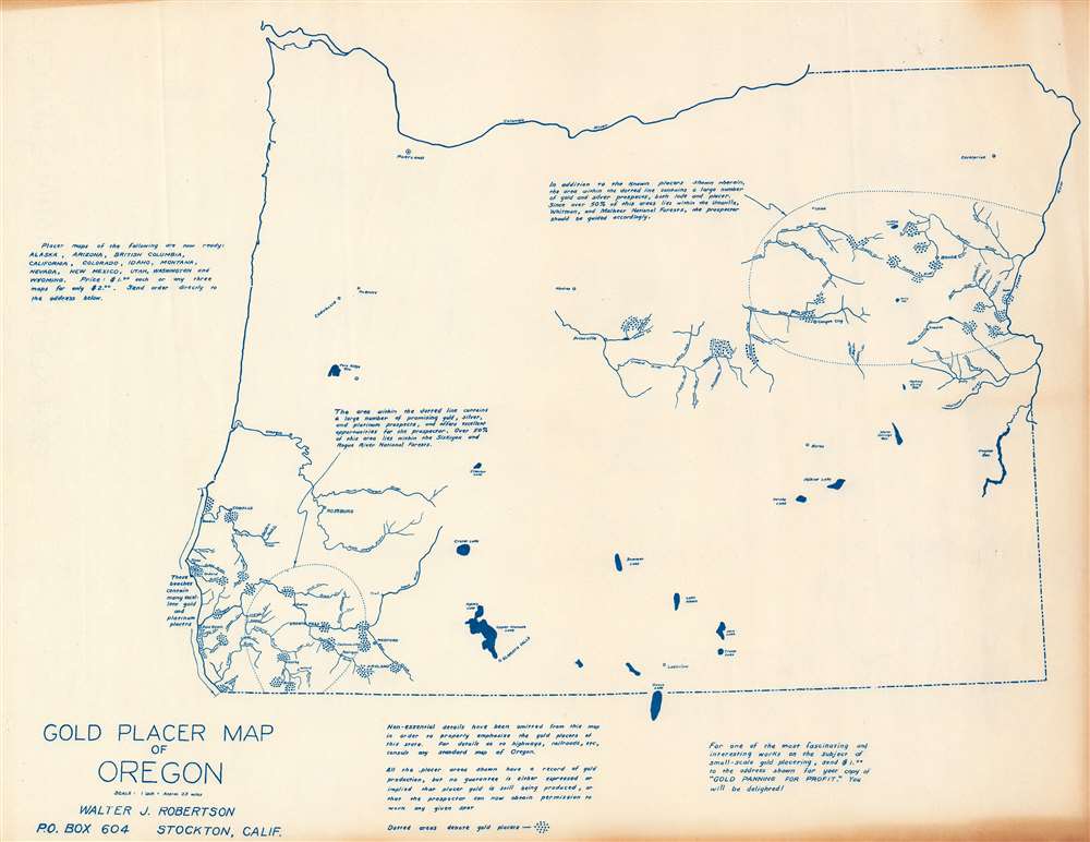
Gold Placer Map of Oregon.
$250.00
Acquire
This is a c. 1956 Walter J. Robertson map of Oregon illustrating placer gold deposits. Dashed lines encircle the two principal gold districts: one in eastern Oregon and one in southwestern Oregon near the California border. Deposits are marked by clusters of blue dots. Rivers, creeks, and major cities and towns near these deposits are illustrated and labeled. Apart from these two regions, very little detail appears. Major lakes are depicted, including Crater Lake and Upper Klamath Lake. A few cities outside the gold-producing regions are noted, such as Portland, Albany, and Corvallis. (more details)
Names 'Alashka' for Alaska and 'Lions Land' in western Australia.

Chart of the Pacific Ocean.
$125.00
Acquire
- Digital Map Information
- Suitable for large format printing
- DPI: 600
- File Size: 29.92 MB
- File Type: ZIP / TIFF
- ICC color profile embedded
- Delivered instantly via download link
This is an 1831 Henry Teesdale map of the Pacific Ocean, with coverage extending from Asia to the Americas. Islands dot the map, including the Sandwich Islands and 'Owhyhee', the Society Islands, and the Friendly Islands. Unusual names and spellings populate the Pacific Northwest, including, from north to south, 'Alashka', New Norfolk, New Cornwall, New Hanover, and New Georgia. Intriguing regional names appear in Australia as well, such as 'Lions Land', 'Edels Land', 'Nuyts Land', and 'Endrachts Land'. (more details)
English language 1930s tourist map of the Caucasus that begs the question - why?
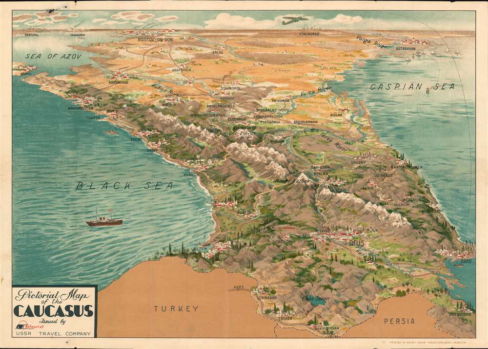
Pictorial Map of the Caucasus.
$2,000.00
Acquire
- Digital Map Information
- Suitable for large format printing
- Full resolution TIFF file
- ICC color profile embedded
- Delivered instantly via download link
This is a beautiful c. 1930 Intourist U.S.S.R. Travel Company pictorial map of the Caucasus. The map is most intriguing as while clearly a tourist-focused piece, the English-speaking audiences for whom it was intended are mysteriously absent. The English only established normalized relation with the USSR a year before, and the Americans had not. Moreover, this map appeared at the height of the Great Depression, when global travel dropped to a trickle. (more details)
One of Heather's first Blueblacks.
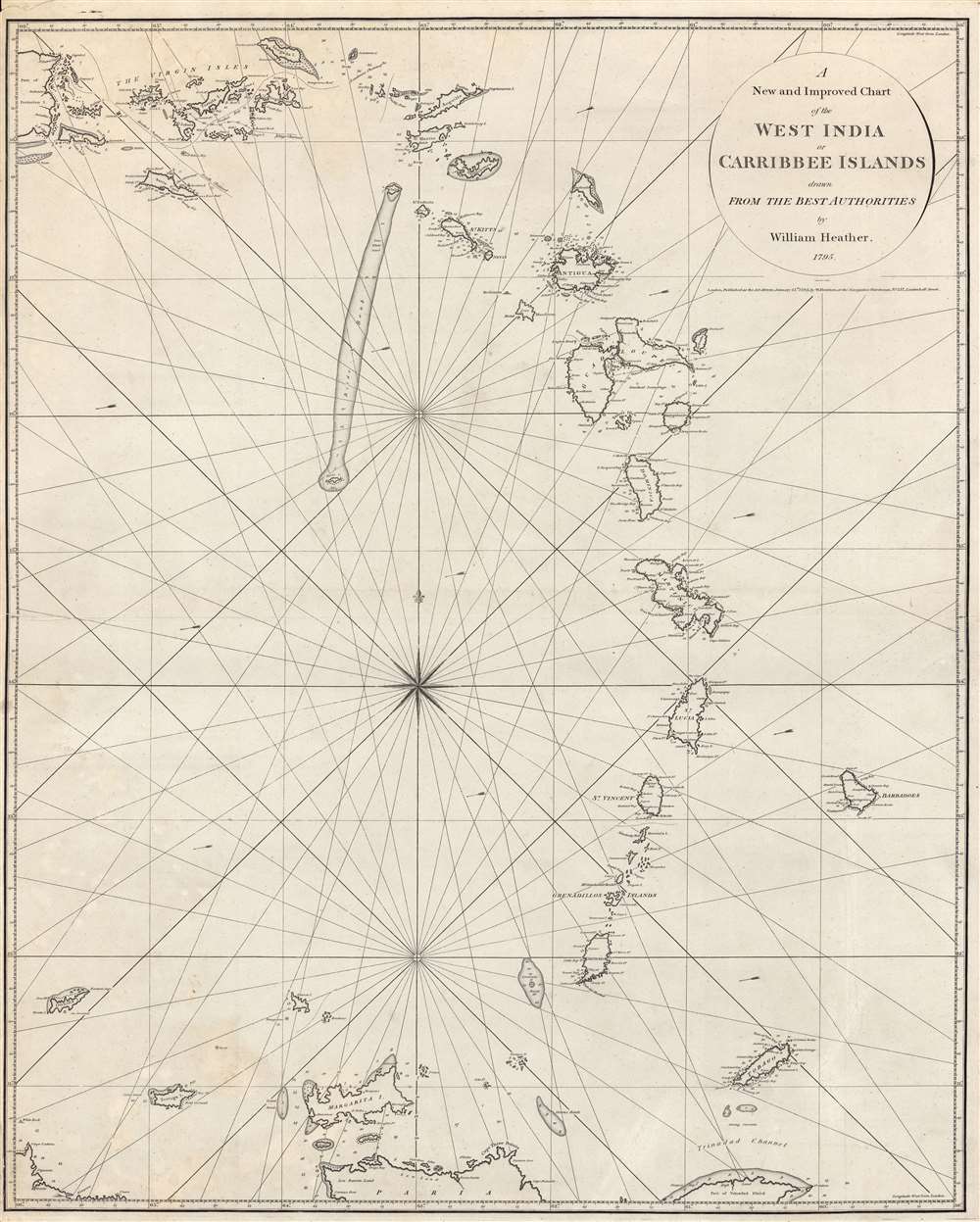
A New and Improved Chart of the West India or Carribbee Islands.
$2,000.00
Acquire
- Digital Map Information
- Suitable for large format printing
- DPI: 600
- File Size: 68.36 MB
- File Type: ZIP / TIFF
- ICC color profile embedded
- Delivered instantly via download link
This is a rare early example of a blueback chart of the West Indies Windward Isles made in 1795 by William Heather, a pioneer in the genre. It focuses on the Lesser Antilles, often known in English as the Leeward and Windward Islands, towards the end of a period of near-constant warfare between European powers over control of the Caribbean. (more details)
Among the first elevated electric trains.
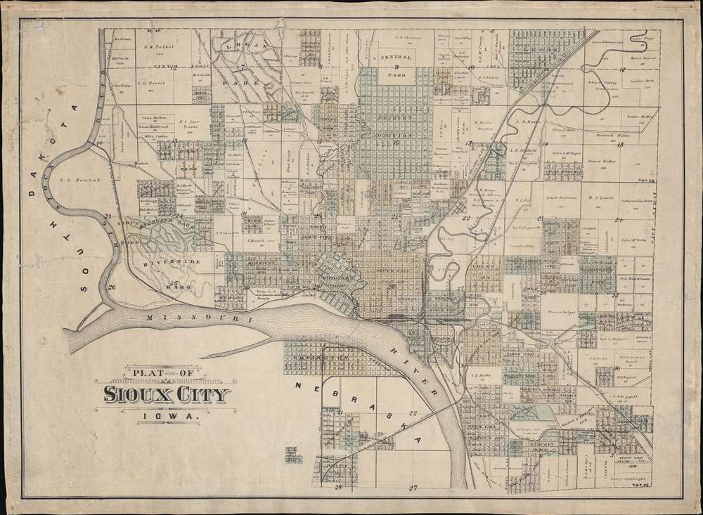
Plat of Sioux City Iowa.
$1,200.00
Acquire
- Digital Map Information
- Suitable for large format printing
- File Size: 58.22 MB
- File Type: ZIP / TIFF
- ICC color profile embedded
- Delivered instantly via download link
This is the only known example of an unrecorded c. 1893 separate-issue cadastral map of Sioux City, Iowa, capturing the city at the peak of its explosive late 19th century growth. The map illustrates both developed and undeveloped lands, as well as ambitious public works projects, including impressive parks and the Elevated Railway - one of the first such constructed. (more details)
The end of the Sino-French War.
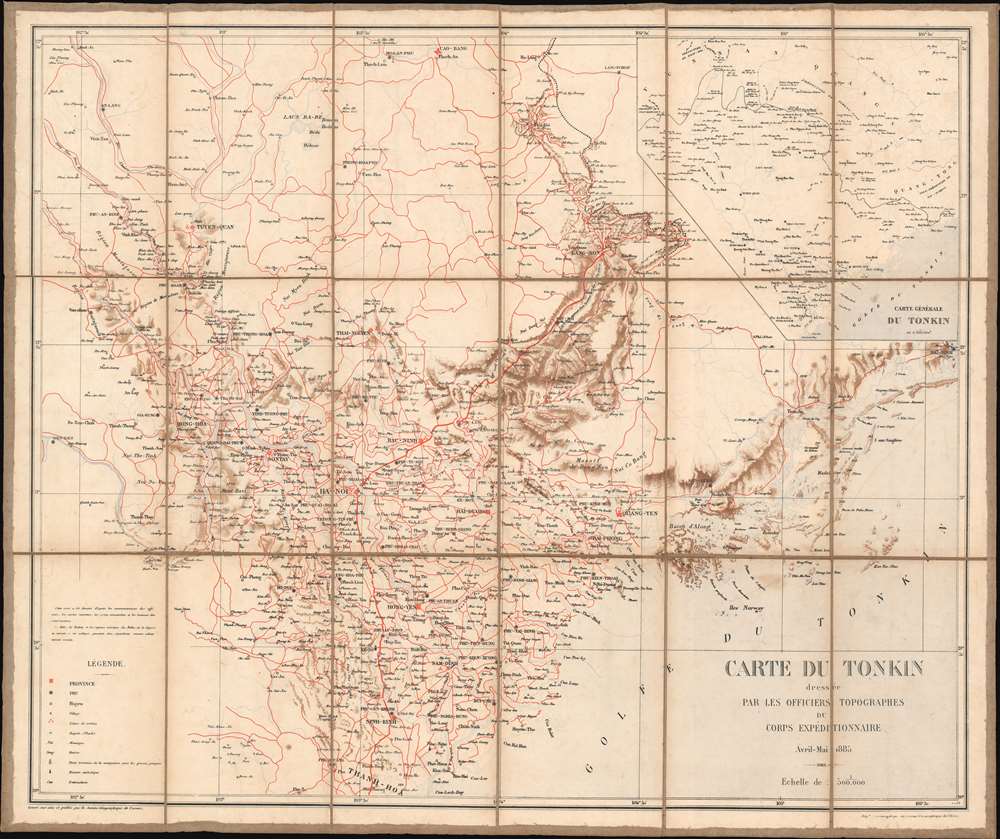
Carte du Tonkin dressée par les officiers topographes du corps expéditionnaire.
$850.00
Acquire
- Digital Map Information
- Suitable for large format printing
- File Size: 38.6 MB
- File Type: ZIP / TIFF
- ICC color profile embedded
- Delivered instantly via download link
This is an 1885 French Service Géographique de l'Armée map of Tonkin, the northern region of modern-day Vietnam, then French Indochina. This map was published for the French army just after the end of the Sino-French War. Red lines trace roads throughout the region and red crossed swords mark battlefields. The map focuses on the Red River Delta and uses the Vietnamese word cua to identify the many rivers along the Gulf of Tonkin. An inset in the upper right corner presents a broader regional overview, from Yunnan in China south to the Red River Delta. (more details)
Brooklyn's railroads, streets, and parks!
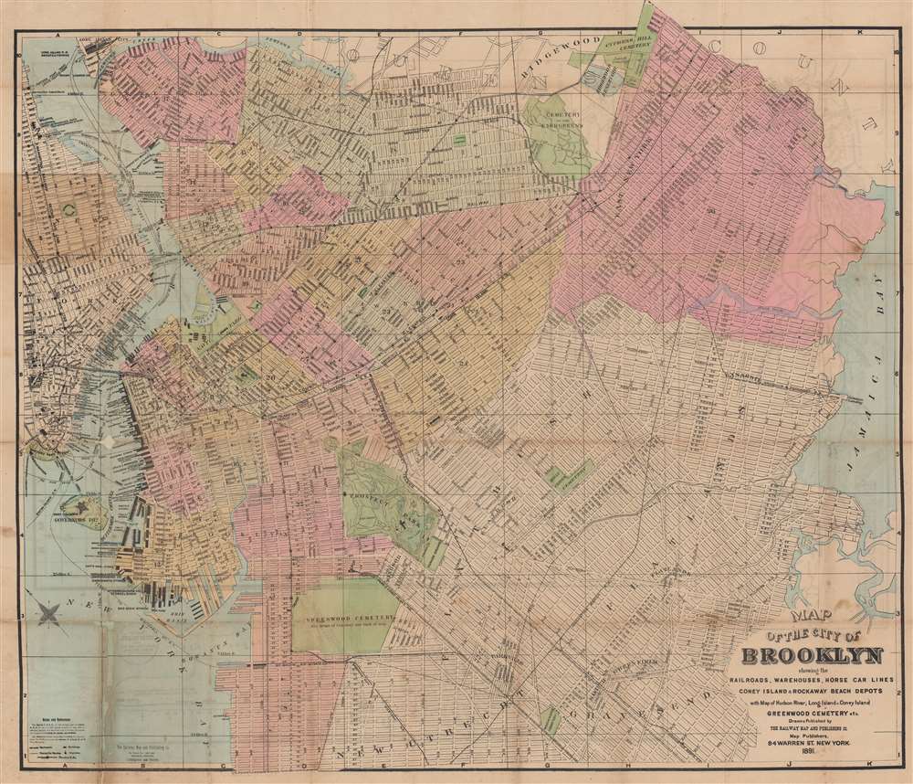
Map of the City of Brooklyn showing the railroads, warehouses, horse car lines, Coney Island and Rockaway Beach Depots.
$850.00
Acquire
- Digital Map Information
- Suitable for large format printing
- Full resolution TIFF file
- ICC color profile embedded
- Delivered instantly via download link
This is an 1891 Railway Map and Publishing Company city map of Brooklyn, New York. Published only a few years before consolidation, Brooklyn appears with rich detail throughout, including labeled streets, elevated railways, and the Long Island Railroad. (more details)