
A Scarce Miniature Woodcut of Asia.

[Untitled map of Asia].
$500.00
Acquire
- Digital Map Information
- Suitable for large format printing
- DPI: 600
- File Size: 5.58 MB
- File Type: ZIP / TIFF
- ICC color profile embedded
- Delivered instantly via download link
This attractive woodcut map of Asia was executed by Giuseppe Moretti for inclusion in the 1688 edition of Giuseppe Rosaccio's long-lived Teatro del Mondo. It is an entertaining composition, embellished with a sea monster in the Northern Ocean, and a sailing ship crossing the Indian Ocean. The appearance of a woodcut map in this period is itself unusual, especially coming from Italy. Venetian and Roman mapmakers had been working on copperplate well before that technology had passed to Antwerp and Amsterdam. (more details)
When the best authorities, aren't.
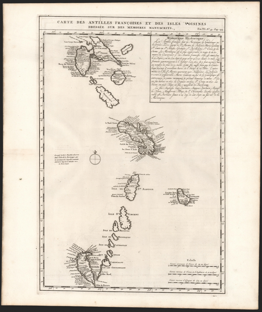
Carte des Antilles Françoises et des Isles Voisines Dressée sur des Memoires Manuscrits.
sold
- Digital Map Information
- Suitable for large format printing
- DPI: 600
- File Size: 31.15 MB
- File Type: ZIP / TIFF
- ICC color profile embedded
- Delivered instantly via download link
This is a superb example of Henri Chatelain's 1719 map of French Antilles, from Guadeloupe to Granada (the southernmost of the Leeward Islands) and the all the Windward Islands. (more details)
1st Robelin edition of an iconic pictorial map of Paris.

Paris Monumental et Métropolitain.
sold
- Digital Map Information
- Suitable for large format printing
- Full resolution TIFF file
- ICC color profile embedded
- Delivered instantly via download link
An extremely appealing piece, this is a c. 1911 Robelin pictorial pocket map of Paris, France. Likely the first Robelin edition of this celebrated work, it combines the virtues of a map and a view. (more details)
Scenic railroad along the Columbia River.
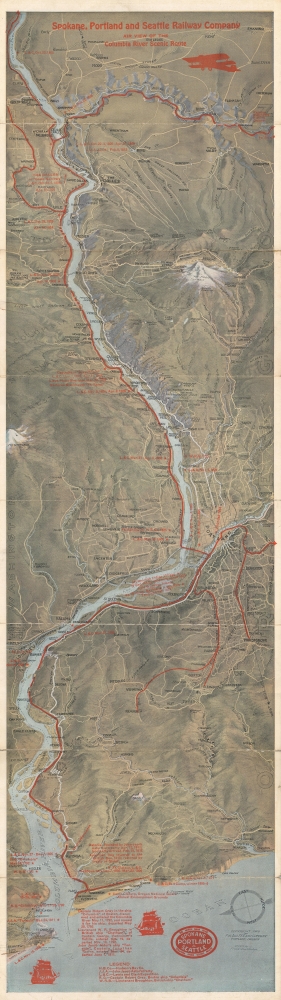
Spokane, Portland and Seattle Railway Company Air View of the Columbia River Scenic Route.
sold
- Digital Map Information
- Suitable for large format printing
- Full resolution TIFF file
- ICC color profile embedded
- Delivered instantly via download link
This is a 1916/1928 Fred A. Routledge pictorial bird's-eye view map of the Columbia River Valley published for the Spokane, Portland and Seattle Railway Company. The map was issued to promote the tourism along the Columbia River Scenic Route. (more details)
Visiting Washington, D.C. during World War II.

Information Map and Guide Washington, D.C. and Environs for Service Men and Women and War Workers.
sold
- Digital Map Information
- Suitable for large format printing
- Full resolution TIFF file
- ICC color profile embedded
- Delivered instantly via download link
An obscure relic of the World War II home front, this is a 1943 Allen F. Free and USO city plan or map of Washington, D.C. made for service men and women and war workers. The map was issued to help the multitudes of war-time visitors enjoy the city. (more details)
Rome, Florence, and their Ruling Families!
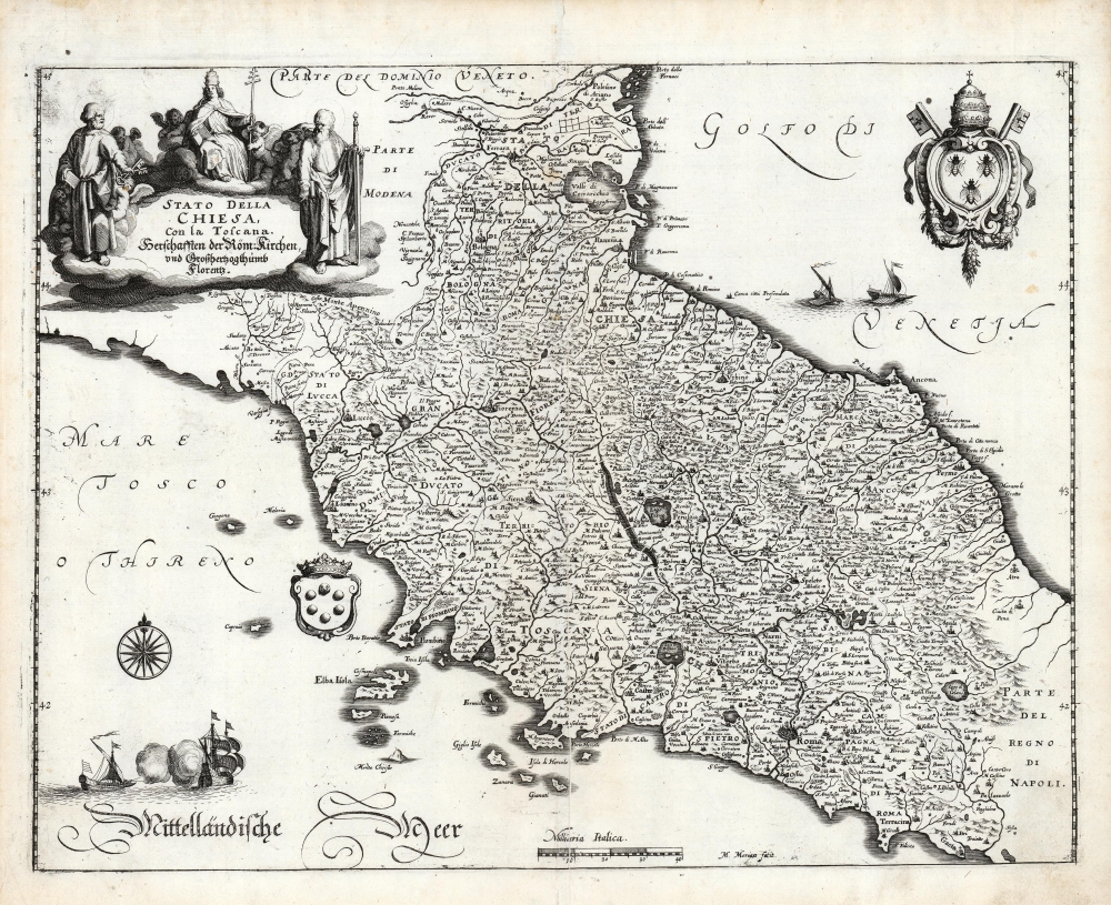
Stato Della Chiesa, Con la Toscana. Herschafften der Röm. Kirchen, und Großhertzogthumb Florentz.
sold
- Digital Map Information
- Suitable for large format printing
- Full resolution TIFF file
- ICC color profile embedded
- Delivered instantly via download link
This is Matthias Merian's 1646 map of Tuscany and the Papal States, the territories in the Italian peninsula under the direct sovereign rule of the Pope. The region was bounded in the north by the Venetian Republic, and in the south by the Kingdom of Naples. The map presents the Stato Dell Chiesa during an extended period of increasing temporal power there: in the north, the Duchy of Ferrara is encompassed, as well as the Duchy of Urbino which had been re-absorbed in 1631. (more details)
Union campaign to secure newly-independent West Virginia.
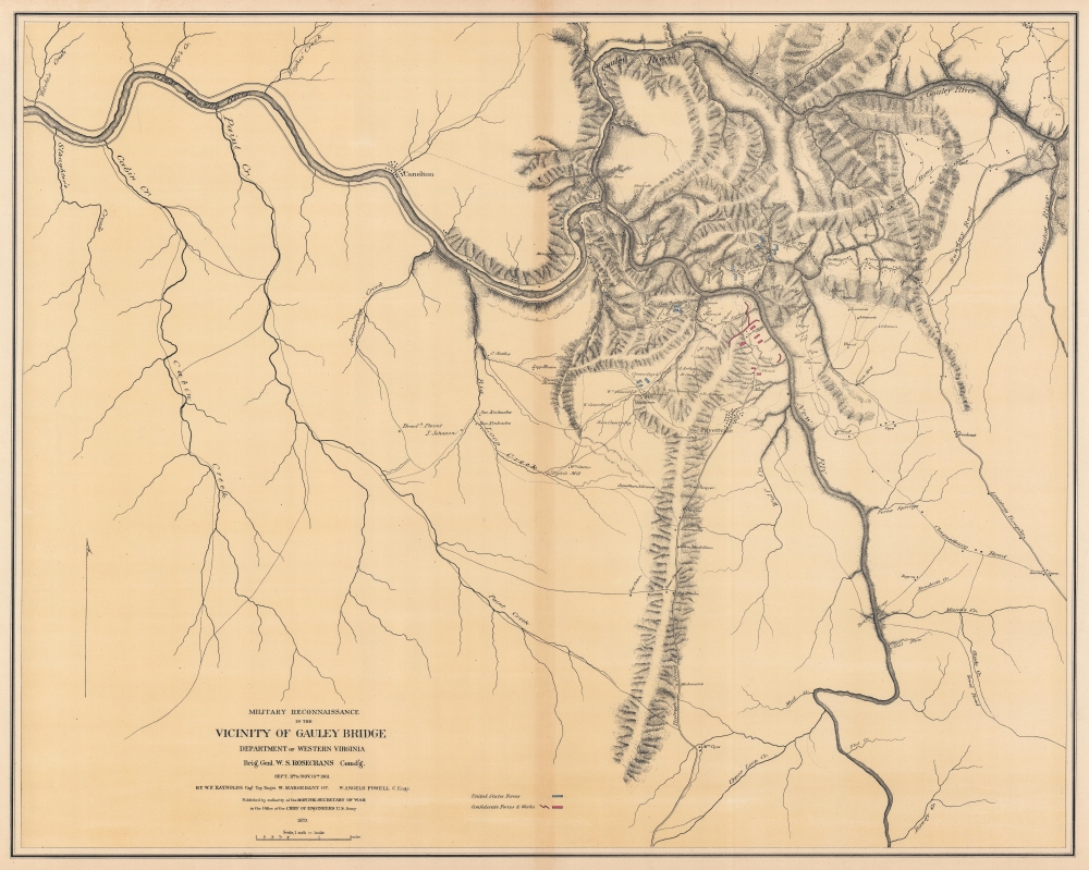
Military Reconnaissance in the Vicinity of Gauley Bridge Department of Western Virginia.
sold
- Digital Map Information
- Suitable for large format printing
- File Size: 88.9 MB
- File Type: ZIP / TIFF
- ICC color profile embedded
- Delivered instantly via download link
This is a separate issue 1879 William Franklin Raynolds map of the vicinity of Gauley Bridge, West Virginia, located in the strategically important Kanawha Valley, during the American Civil War (1861 - 1865). (more details)
The Allagash Wilderness Waterway and the Dickey-Lincoln Dam Project.
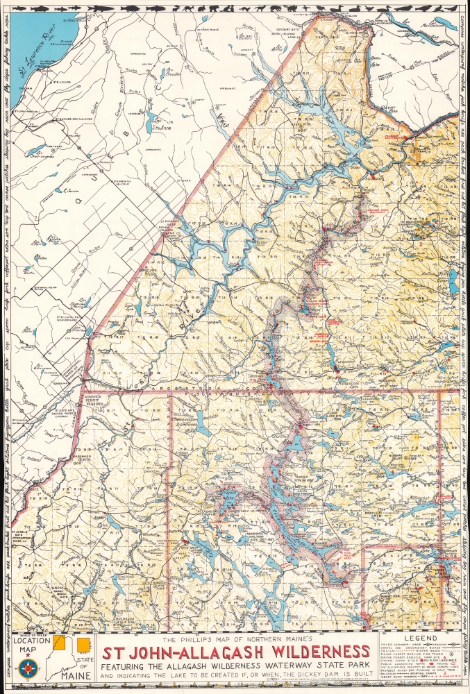
The Phillips Map of Northern Maine's St John - Allagash Wilderness Featuring the Allagash Wilderness Waterway State Park and Indicating the Lake to be Created If, or When, the Dickey Dam is Built.
sold
A brilliant juxtaposition of the results of conservation and 'progress', this is a 1973 Augustus D. Phillips and Son map of the St. John - Allagash Wilderness in northern Maine. Phillips highlights the conservation success of the Allagash Wilderness Waterway alongside the potential disaster posed by the Dickey-Lincoln hydroelectric dam project. (more details)
Paradise.
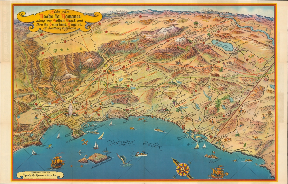
Ride the Roads to Romance along the Golden Coast and thru the Sunshine Empire of Southern California.
sold
- Digital Map Information
- Suitable for large format printing
- Full resolution TIFF file
- ICC color profile embedded
- Delivered instantly via download link
A striking mid-century bird’s eye view of Southern California issued in 1952 by the Roads to Romance Association, Inc. It provides a compact and aesthetically pleasing overview of the region's climate, topography, history, economy, and culture. (more details)
Capital of New England - one of the earliest views of Boston based on actual observation.
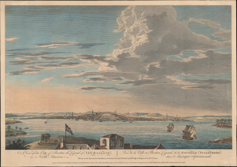
A View of the City of Boston the Capital of New England, in North America. / Vue de la Ville de Boston Capitale de la Nouvelle Angleterre, dans l'Amérique Septemtrionale.
sold
- Digital Map Information
- Suitable for large format printing
- DPI: 600
- File Size: 387.91 MB
- File Type: ZIP / TIFF
- ICC color profile embedded
- Delivered instantly via download link
This is the rare Thomas Pownall view of Boston, published in 1768. It is one of the earliest obtainable views of Boston offering a look at the city shortly after the French and Indian War (1754 - 1763). (more details)
Rose's original art celebrating Lincoln Center's opening.

[Cultural (and Semi-Cultural) Map of New York.]
sold
This is the original manuscript artwork for Carl Rose's 1962 map of New York, drawn for the New York Times Magazine special edition covering the opening of Lincoln Center. (more details)
Last Days of Mandatory Palestine.

فلسطين ١٩٤٨/ خارطة فلسطين / [Palestine 1948 / Map of Palestine].
sold
A large wall map of Palestine as it appeared in 1948, in the waning days of the British Mandate, produced by the Palestine Liberation Organization Research Center c. 1966. The map's compilation was overseen by Said Kamel Sabbagh, an accomplished Palestinian-Lebanese geographer, and it became the PLO's approved reference map for the Mandatory period. (more details)
Palestine on the Precipice.

خريطة فلسطين / [Map of Palestine].
sold
- Digital Map Information
- Suitable for large format printing
- File Size: 652.68 MB
- File Type: ZIP / TIFF
- ICC color profile embedded
- Delivered instantly via download link
An unrecorded Arabic-language folding map of Palestine, published in 1948 by the Catholic Press in Beirut. It reflects the situation at the end of the Mandatory period and the start of the most intense phase of Arab-Israeli conflict. (more details)
Pacific Northwest w/ manuscript trade routes between San Francisco and Astoria.
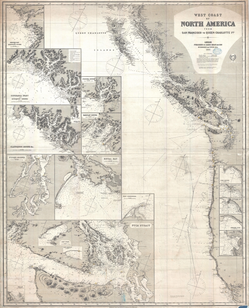
West Coast of North America from San Francisco to Queen Charlotte Ids.
sold
- Digital Map Information
- Suitable for large format printing
- File Size: 57.87 MB
- File Type: ZIP / TIFF
- ICC color profile embedded
- Delivered instantly via download link
A finely executed 1883 James Imray working nautical map of the American Pacific Northwest from San Francisco to the Queen Charlotte Islands. The map includes San Francisco Bay, Vancouver Island, the Strait of Juan de Fuca, the Columbia River and Astoria, and the coasts of Washington, Oregon, northern California, and British Columbia. Pencil manuscript annotations illustrate the route of a merchant ship, probably a fur trader, between the Columbia River frontier trading settlement of Astoria and San Francisco. (more details)
Dominant 17th-century map of Iceland.
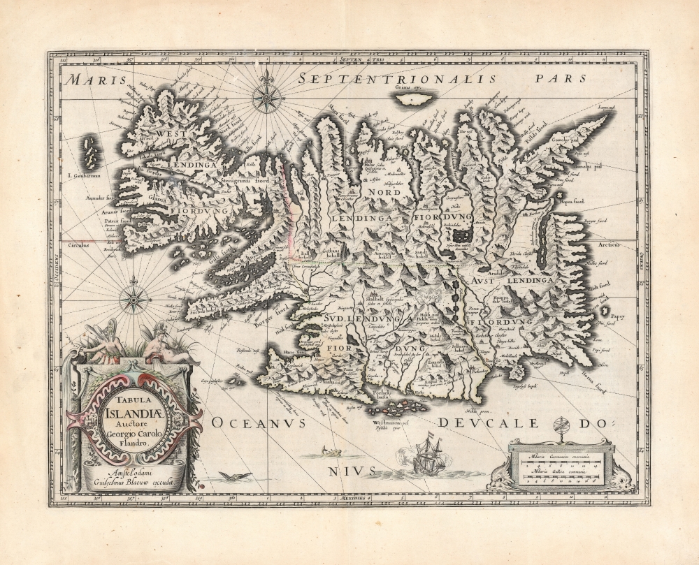
Tabula Islandiae Auctore Georgio Carolo Flandro.
sold
- Digital Map Information
- Suitable for large format printing
- DPI: 600
- File Size: 56.08 MB
- File Type: ZIP / TIFF
- ICC color profile embedded
- Delivered instantly via download link
This is Willem and Joan Blaeu's 1644 map of Iceland, among the most influential and widely copied 17th-century maps of the island. (more details)
'Graveyard of the Atlantic'.

Sable Island Graveyard of the Atlantic Known Wrecks since 1800 A.D.
sold
- Digital Map Information
- Suitable for large format printing
- File Size: 858.39 MB
- File Type: ZIP / TIFF
- ICC color profile embedded
- Delivered instantly via download link
An alluring 1948 cyanotype pictorial map of Sable Island, Nova Scotia drawn by Donald S. Johnson. It highlights the very large number of shipwrecks that occurred around the island in the 19th and early 20th century, especially before the installation of lighthouses. (more details)
First Modern Atlas Map of Abruzzo.
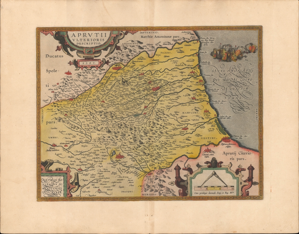
Aprutii Ulterioris Descriptio.
sold
- Digital Map Information
- Suitable for large format printing
- Full resolution TIFF file
- ICC color profile embedded
- Delivered instantly via download link
A lovely old color example of Abraham Ortelius' map of the Abruzzo or Abruzzi region of central Italy that appeared in the 1595 Latin edition of his Theatrum Orbis Terrarum, the first modern atlas. (more details)
Billionaire's Row When It Was Still Cool.
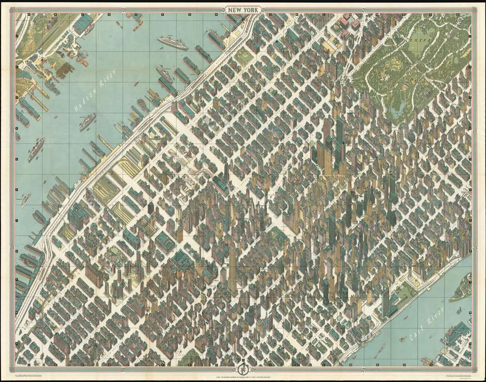
New York Map-Guide.
sold
The pinnacle of urban cartographic art - this is the 1962 Bollmann axonometric map of midtown Manhattan, in its first issue. This distinctive view presents the area at the stylistic peak of the skyscraper era: over half of the world's skyscrapers standing at the time appear within the bounds of this view.
Bollmann created an image of great, apparent precision by employing subtle distortion and exaggeration to emphasize scale and clarity. The entire work was first drawn by hand, and its preparation boasted the use of over 67,000 photographs, 17,000 of which were aerial. Bollmann widened the streets to keep the image uncluttered; his view dispenses with perspective to maintain a uniform scale for all the buildings and allow comparison of size. The result captures this mighty concentration of towers, presenting each with its uniquely recognizable profile: the iconic Empire State building, the graceful Art Deco curves of the Chrysler building, the sleek blade of the United Nations, and the ultra-modern helicopter pad of the Pan Am building. The verso of the map is a detailed map of the five boroughs; the map dates itself by the presence of New York International Airport, Idlewild Terminal. Both the 1963 and 1964 American-printed editions replace this verso map with a map of the subway system. (more details)
Bollmann created an image of great, apparent precision by employing subtle distortion and exaggeration to emphasize scale and clarity. The entire work was first drawn by hand, and its preparation boasted the use of over 67,000 photographs, 17,000 of which were aerial. Bollmann widened the streets to keep the image uncluttered; his view dispenses with perspective to maintain a uniform scale for all the buildings and allow comparison of size. The result captures this mighty concentration of towers, presenting each with its uniquely recognizable profile: the iconic Empire State building, the graceful Art Deco curves of the Chrysler building, the sleek blade of the United Nations, and the ultra-modern helicopter pad of the Pan Am building. The verso of the map is a detailed map of the five boroughs; the map dates itself by the presence of New York International Airport, Idlewild Terminal. Both the 1963 and 1964 American-printed editions replace this verso map with a map of the subway system. (more details)
Fishing at the Edge of the British Empire.
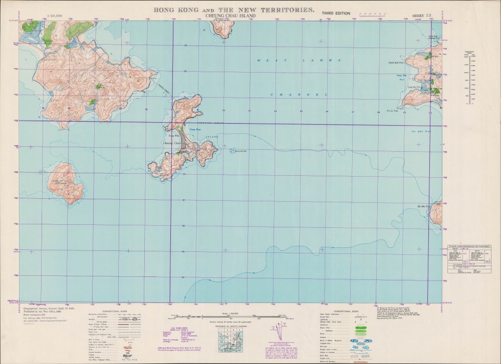
Hong Kong and the New Territories. Cheung Chau Island.
sold
- Digital Map Information
- Suitable for large format printing
- File Size: 38.76 MB
- File Type: ZIP / TIFF
- ICC color profile embedded
- Delivered instantly via download link
An impressive large-format 1949 War Office map of Cheung Chau Islands and environs, part of the New Territories of Hong Kong. (more details)
Surf's up!

East and Gulf Coast Surfing Map.
sold
A hard-to-find 1981 surfing map of the eastern United States by surf-journalist Allan 'Bank' Wright. The visually arresting map covers the eastern two-thirds of the United States from roughly Wyoming to the Atlantic and from the Great Lakes to the Gulf of Mexico. Well known surf sites are noted along the coasts. Three legends detail specific surf spots and conditions - content that remains relevant today. The map is surrounded by photographic images of the most famous surf spots and waves. (more details)