
Enormous rare nautical chart detailing south Florida.
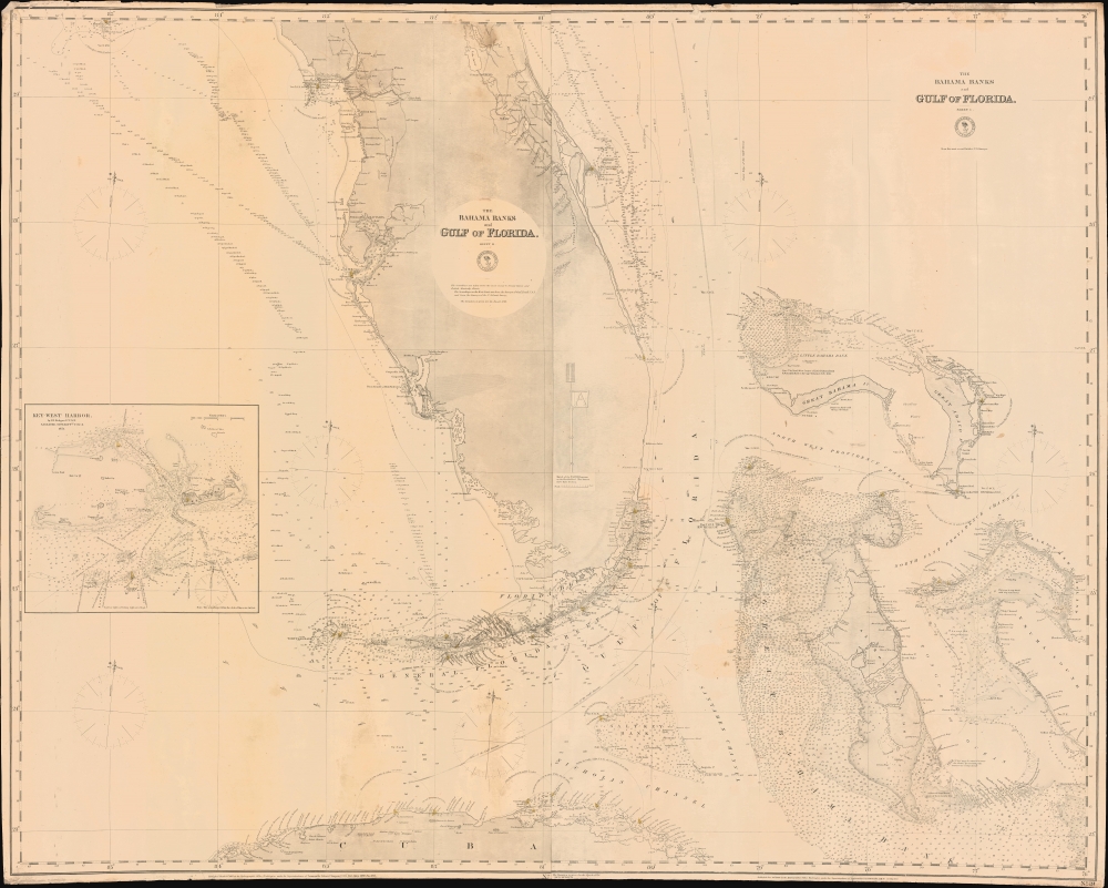
The Bahama Banks and Gulf of Florida, Sheet 1.
sold
- Digital Map Information
- Suitable for large format printing
- File Size: 1802.12 MB
- File Type: ZIP / TIFF
- ICC color profile embedded
- Delivered instantly via download link
A most uncommon 1873 U.S. Navy Hydrographic Office nautical chart or maritime map of Florida and the Bahamas. Coverage embraces the lower two-thirds of peninsular Florida, the Florida Strait as far as Cuba, and the northern Bahamas. An inset in the lower left details Key West and its vicinity from the 1851 U.S. Cost Survey of J. R. Rodgers. The Bahamas are superbly detailed with thousands of soundings - underscoring the danger of navigating these shallow waters. This chart follows in the lineage of Edmund March Blunt's great chart of 1844 - and is indicative of that commercial cartographer's long-standing influence on official naval chart making. (more details)
Early Woman Map Publisher.
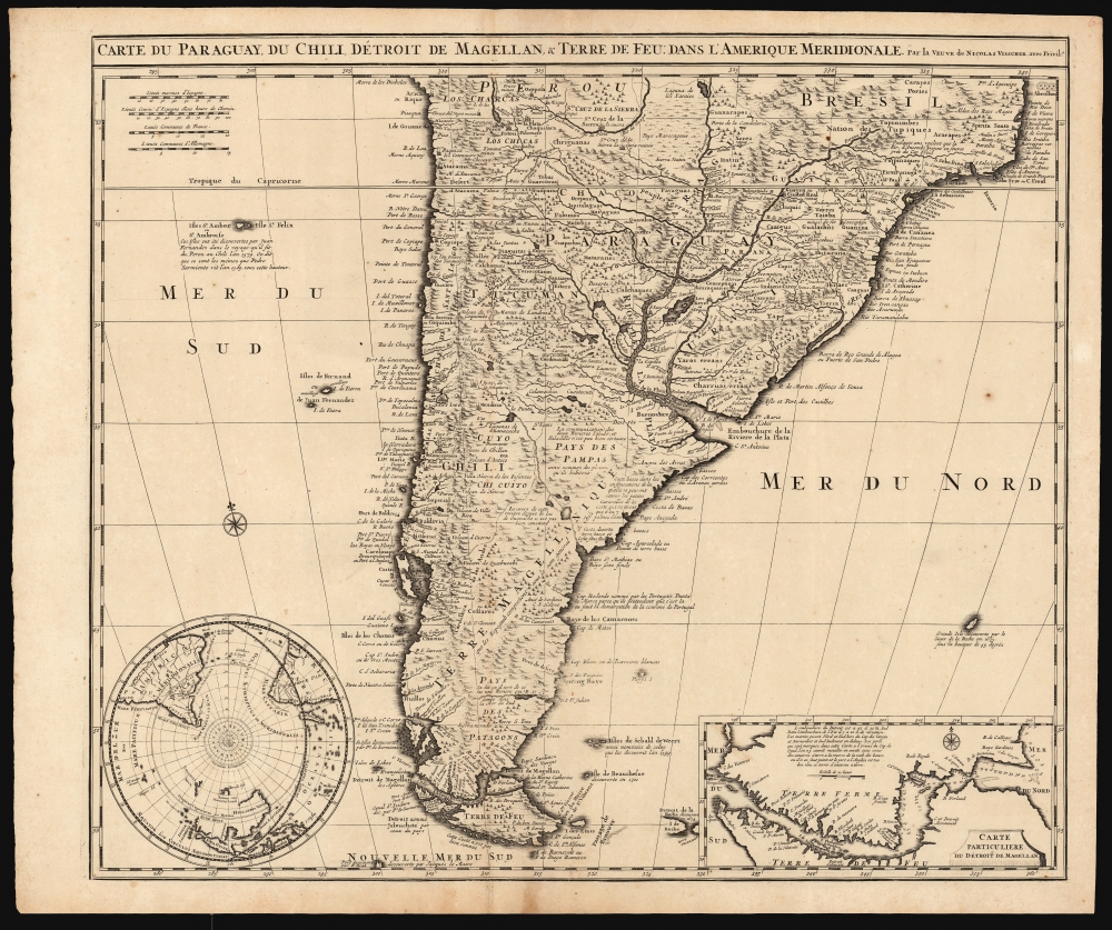
Carte du Paraguay, du Chili, Détroit de Magellan, et Terre de Feu dans l'Amerique Meridionale.
sold
- Digital Map Information
- Suitable for large format printing
- DPI: 600
- File Size: 64.4 MB
- File Type: ZIP / TIFF
- ICC color profile embedded
- Delivered instantly via download link
This is Elizabeth Verseyl Visscher's scarce, c. 1710 map of southern South America, based on the 1703 map by Guillaume De l'Isle. It is notable in particular for being the first published map to include a new, 1702 charting of the Strait of Magellan, which had been suppressed by the Chancellor of France, the Comte de Pontchartrain. (more details)
Rare and Remarkable Soviet 'Victory Map'.

План г. Берлин, 1:25000 / [Plan of Berlin, 1:25000].
sold
- Digital Map Information
- Suitable for large format printing
- File Size: 97.24 MB
- File Type: ZIP / TIFF
- ICC color profile embedded
- Delivered instantly via download link
An artifact of one of the most intense battles of the 20th century, this Russian language 'Victory Map' map of Berlin was produced by the Soviet Union's Leningrad Mapping Unit in 1945 to prepare for the final assault of the war in Europe. (more details)
First Specific Printed Maps of Florida and Peru.
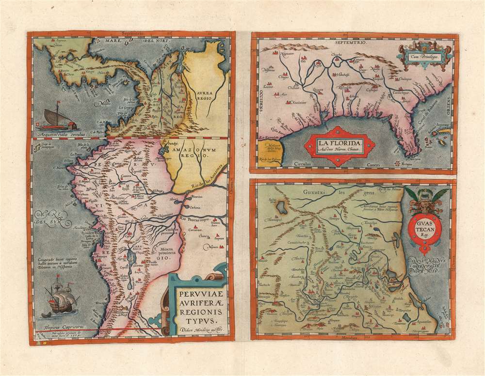
Peruviae Auriferae Regionis Typus./ La Florida./ Guastecan.
sold
- Digital Map Information
- Suitable for large format printing
- DPI: 600
- File Size: 53.05 MB
- File Type: ZIP / TIFF
- ICC color profile embedded
- Delivered instantly via download link
This is a beautiful, wide-margined example of Ortelius' 1584 engraving, including the first specific map of Florida, the earliest specific map of Peru, and the first map focusing on the Guastecan province of Mexico. The map is a prime example of Ortelius' strength not only as a mapmaker but also as a compiler. All these maps combined here are relevant to each other in that they all derive from Spanish sources, and reveal parts of the Spanish Empire in America, despite Spain forbidding the production and dissemination of such maps. That two of these maps credit specific Spanish sources suggests that Ortelius enjoyed an open connection with a member of the Spanish bureaucracy. Antwerp was part of the Spanish Empire at the time, but it is certainly testimony of Ortelius's far-reaching network of contacts throughout Europe that he was able to obtain maps such as these for publication. (more details)
From the St. Lawrence to the Cape.
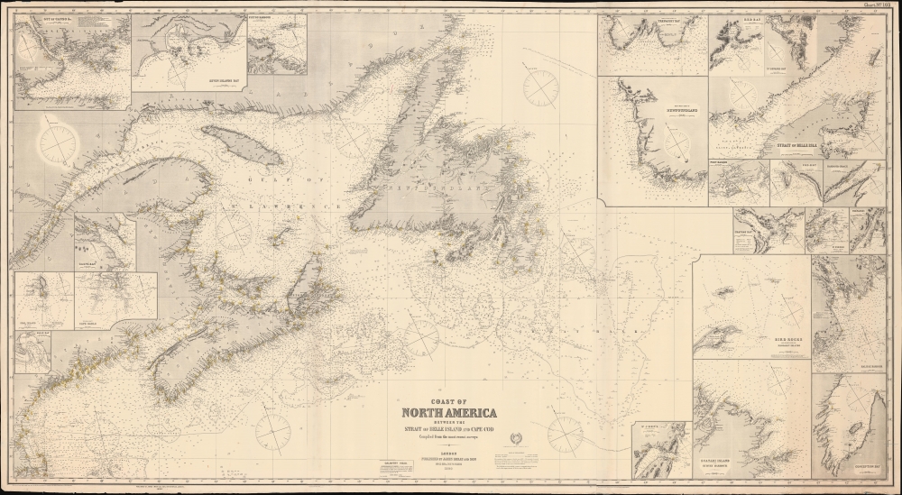
Coast of North America : between the Strait of Belle Island and Cape Cod.
sold
- Digital Map Information
- Suitable for large format printing
- File Size: 342.57 MB
- File Type: ZIP / TIFF
- ICC color profile embedded
- Delivered instantly via download link
A remarkable large-format nautical chart or map covering the coasts of Nova Scotia, New Brunswick, Newfoundland, and New England from Cape Cod northwards, published by James Imray and Son in 1890. (more details)
A Vibrant Mid-Century Pictorial Map of California and Nevada.
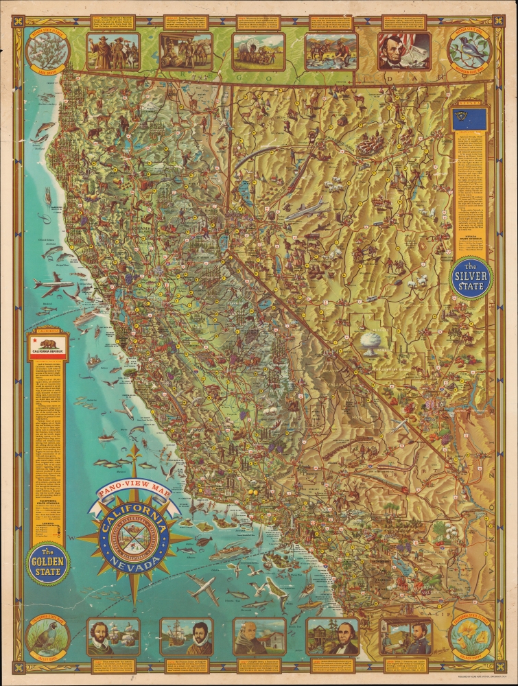
California and Nevada : Pano-view Map.
sold
An striking mid-century 1962 pictorial map of California and Nevada, produced by Kleng Rude. It provides a snapshot of the post-World War II (1939 - 1945) regional population boom and its consequent cultural impact. (more details)
A Failed Plan for Peace.
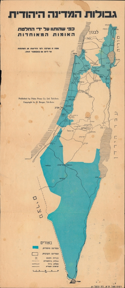
גבולות המדינה היהודית : כפי שהותוו על ידי החלטת האומות המאוחדות / [The borders of the Jewish state: as outlined by the resolution of the United Nations].
sold
- Digital Map Information
- Suitable for large format printing
- Full resolution TIFF file
- ICC color profile embedded
- Delivered instantly via download link
A 1947 Hebrew-language map of Israel-Palestine, published by Pales Press in Tel Aviv. It displays the planned borders of the Jewish State according to the United Nations Partition Plan for Palestine, adopted by the U.N. General Assembly on November 29, 1947. (more details)
Surprisingly published a few months before the end of World War II.
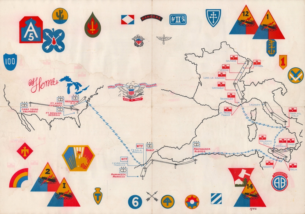
Torch. Husky. Anvil. Dragoon. Rush and Wait.
sold
- Digital Map Information
- Suitable for large format printing
- Full resolution TIFF file
- ICC color profile embedded
- Delivered instantly via download link
This is a 1945 1st Signal Battalion World War II route map of North Africa and Europe, a previously uncatalogued piece in a long-overlooked category of World War II cartography. The present map is noteworthy for being published February or March 1945, before the war's end most other similar maps of the European theater were published after the fighting ended in May. (more details)
Canadian Rocky Mountains by rail!
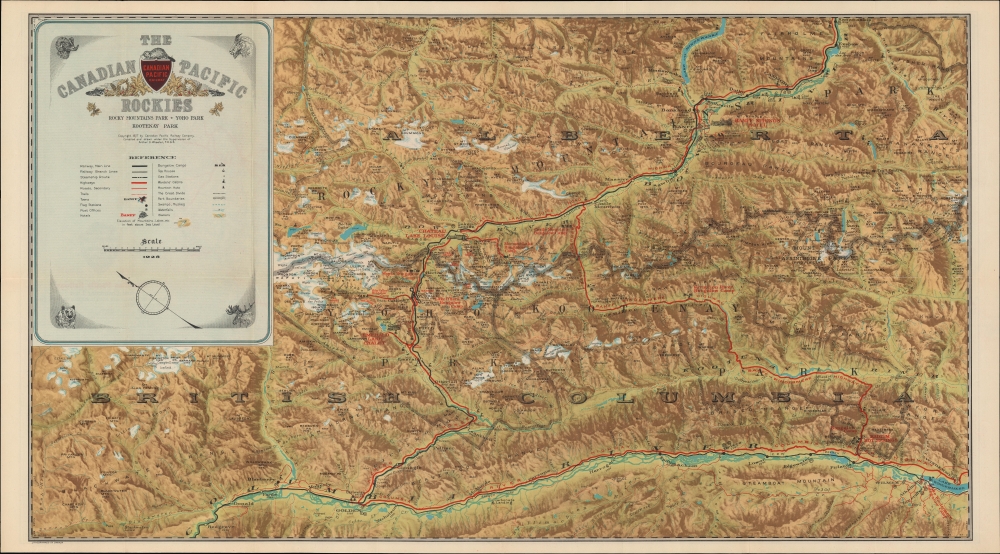
The Canadian Pacific Rockies: Rocky Mountains Park - Yoho Park - Kootenay Park.
sold
- Digital Map Information
- Suitable for large format printing
- Full resolution TIFF file
- ICC color profile embedded
- Delivered instantly via download link
This 1927 Canadian Pacific Railway pictorial map of the Canadian Rocky Mountains in Alberta and British Columbia was created to cultivate outdoor adventure tourism. (more details)
The planned but never launched amphibious invasion of the Japanese Home Islands - Operation Downfall.
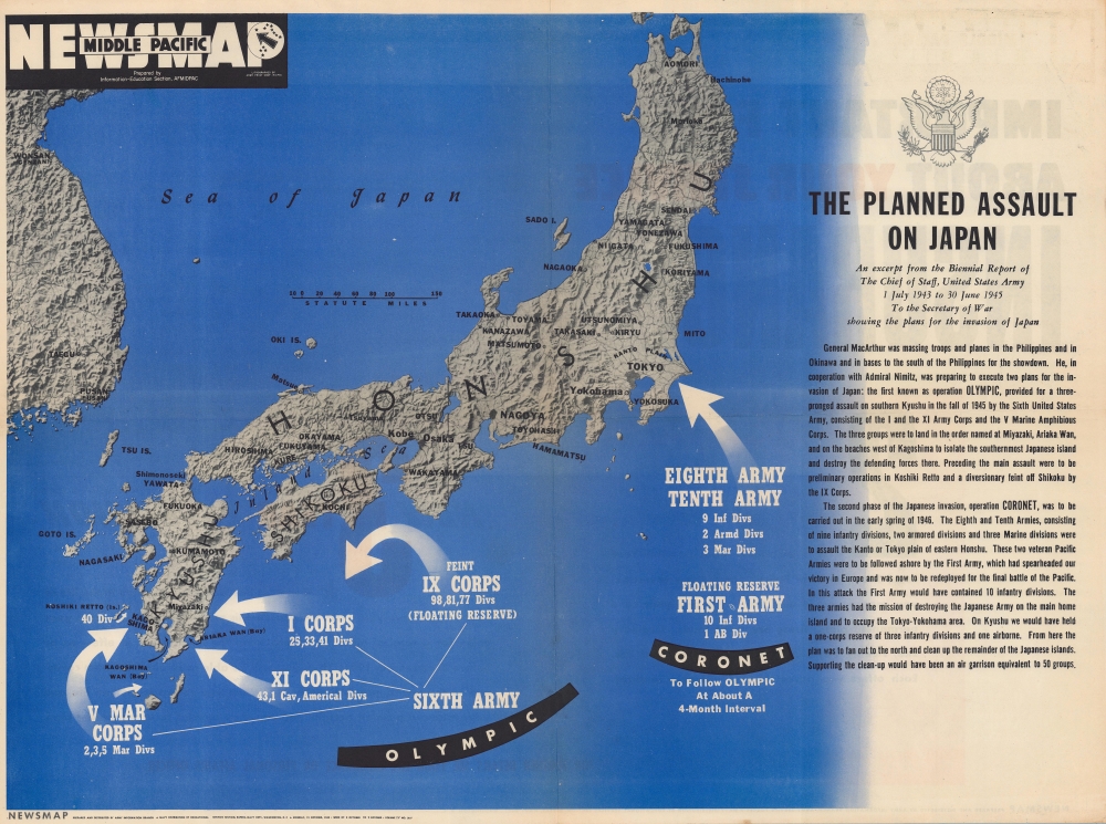
Newsmap Middle Pacific. The Planned Assault on Japan. Monday 15 October, 1945. Week of 2 October to 9 October. Volume IV No. 26F.
sold
- Digital Map Information
- Suitable for large format printing
- Full resolution TIFF file
- ICC color profile embedded
- Delivered instantly via download link
This is a rare Overseas Edition Newsmap published in October 1945 (1 month after the Japanese surrender) illustrating the planned amphibious invasions of the Japanese home islands. (more details)
Keeping tabs on the Trans-Siberian Railroad.
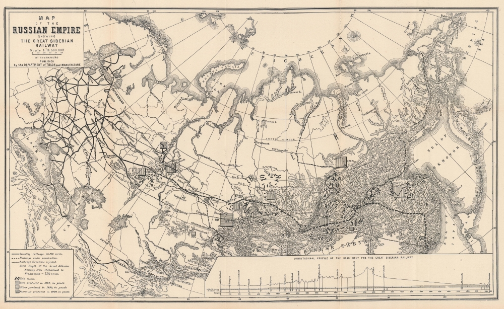
Map of the Russian Empire Showing the Great Siberian Railway.
sold
- Digital Map Information
- Suitable for large format printing
- File Size: 35.47 MB
- File Type: ZIP / TIFF
- ICC color profile embedded
- Delivered instantly via download link
This is a c. 1895 U.S. government map of Russia illustrating the construction of the Trans-Siberian Railroad. It highlights the progress and development of the continent-spanning railroad as well as Russia's rich natural resources - which the railroad would make accessible. (more details)
Londoner's take on the Wild West.

Sheriff Danny Arnold's Pictorial Map of the Old West Showing pioneer trails and battles, Indian's territories, stagecoach lines, military forts, historical data of the frontier period around 1840.
sold
This is a c. 1950 Fran Dowie pictorial map of the United States highlighting American frontier history. Captioned illustrations mark important historical events: battles during the Indian Wars, acts of frontier justice against outlaws such as Jesse James and Billy the Kid, and the shootout at the O.K. Corral, are just a few of the events noted. Pioneer trails, such as the Oregon Trail, the Santa Fe Trail, and the Pony Express Route, are illustrated as well. The Grand Canyon, the Rocky Mountains, and the Sierra Nevada Mountains evoke the majesty of the rugged terrain. The whole is surrounded by a pictorial border incorporating portraits of frontier personalities: Doc Holliday, Crazy Horse, Jim Bowie, Wyatt Earp, Davy Crockett, and Jesse James. (more details)
Profound dedication by Buckminster Fuller!!

Dymaxion Airocean World. The Raleigh Edition of Fuller Projection.
sold
This is a 1954 first edition Buckminster Fuller and Shoji Sadao dymaxion map of the world bearing a dedication from the author to his niece. Fuller's unusual projection was intended to supplement the Mercator Projection, as it maintained an integrity of scale and could easily be rearranged to highlight certain academic points. (more details)
Old New York, Young New York.
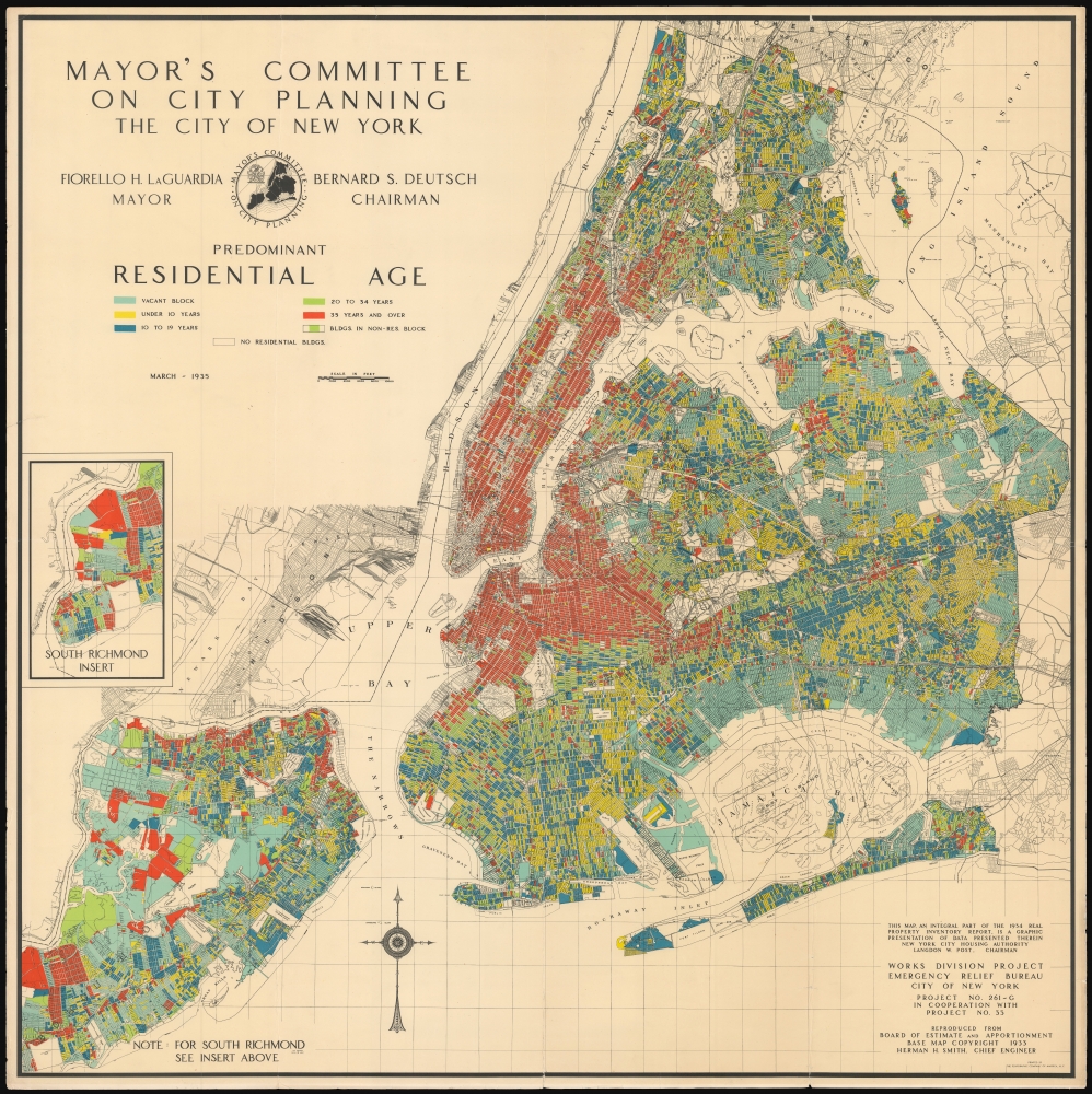
Mayor's Committee on City Planning The City of New York: Predominant Residential Age.
sold
- Digital Map Information
- Suitable for large format printing
- File Size: 188.58 MB
- File Type: ZIP / TIFF
- ICC color profile embedded
- Delivered instantly via download link
This rare, large, vivid, and superbly detailed 1935 infographic map of New York City - fruit of the labors of New York City's Emergency Relief Bureau, and the Mayor's Committee on City Planning - presents in granular detail the predominant ages of New York City's residential population. (more details)
Resettlement of a Plague Region, Plagued by War and also Plague.
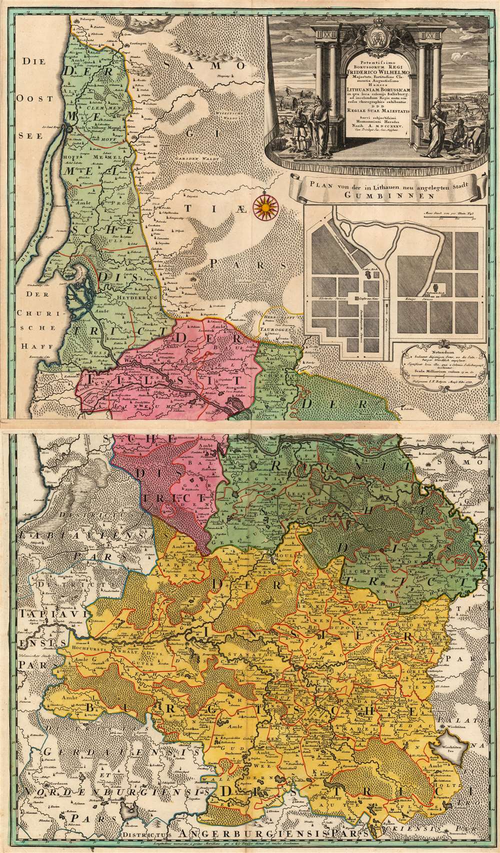
Potentissimo Borussorum Regi Friderico Wilhelmo Majestate Fortitudine Clementia Augustissimo Hancce Lithuaniam Borussicam : in qua loca colonijs Salisburg. ad incolendum Regio nutu concessa chorographice exhibentur D.D.D. Regiae Suae Maiestatis.
sold
- Digital Map Information
- Suitable for large format printing
- Full resolution TIFF file
- ICC color profile embedded
- Delivered instantly via download link
This is a stunning example of the 1735 Homann Heirs map of Lithuania Minor, then the easternmost province of Prussia. The region covered by this grand, two-sheet map is now occupied by Russia's Kaliningrad Oblast (the southern sheet) and the western portion of Lithuania, reaching as far east as modern-day Vištytis and Kudirkos Naumiestis, (Neustadt). The map's detail is rich for the region within the bounds of the Kingdom of Prussia. Across the border into Lithuania, the detail gives way to seemingly endless and trackless forest. (more details)
The USA bullies a little boy.
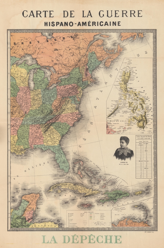
Carte de la Guerre Hispano-Américaine.
sold
- Digital Map Information
- Suitable for large format printing
- File Size: 79.75 MB
- File Type: ZIP / TIFF
- ICC color profile embedded
- Delivered instantly via download link
This is an 1898 anti-American propaganda map of the eastern United States and the Caribbean published during the Spanish-American War (April 21, 1898 - December 10, 1898) by the 'then' radical-socialist French newspaper La Depêche. The map illustrates the eastern United States, the Caribbean, and, in a large inset, the Philippines - thus detailing all major theaters of engagement. In the Atlantic, there is a striking vignette engraving a very worried looking Alphonso XIII, the boy King of Spain. Alphonso XIII was King of Spain from birth and in this illustration is just 12, as the map underscores by printing his birth date. The anti-American message is subtle but clear - look at the big bad USA bullying this poor little boy. (more details)
Hardly Easy Sailing.

China Eastern Coast Sheet I, From Mongchow to Hong Kong. / [Admiralty Chart No.] 2212.
sold
- Digital Map Information
- Suitable for large format printing
- DPI: 600
- File Size: 575.08 MB
- File Type: ZIP / TIFF
- ICC color profile embedded
- Delivered instantly via download link
An important blueback nautical map or chart of the southern coast of China in the vicinity of Hong Kong and Macao, published in 1853 by the British Admiralty. It reflects increasing familiarity with these waters in the era immediately following the First Opium War (1839 - 1842). (more details)
Eyeing the Outer Banks.
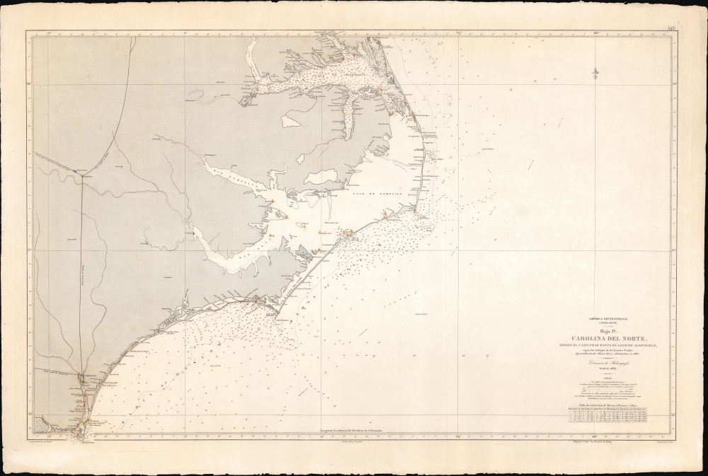
América Septentrional, Costa Este. Hoja IV. Carolina del Norte desde el Cabo Fear hasta el lago de Albemarle.
sold
- Digital Map Information
- Suitable for large format printing
- File Size: 75.2 MB
- File Type: ZIP / TIFF
- ICC color profile embedded
- Delivered instantly via download link
A curious nautical map or chart of the North Carolina coast, produced in 1868 by Spain's Dirección de Hidrografía. Surveyed before the U.S. Civil War but published afterwards, the chart reflects both Spain's investment in naval modernization in the preceding decades and a continued interest in the Americas, despite having lost most of its colonial empire earlier in the century. (more details)
An Emotive Contemporary View of the San Francisco Earthquake and Fire.

Destruction of San Francisco by Earthquake and Fire, April 18th, 1906. Every Building Shown in the Above Picture Was Destroyed by the Great Fire.
sold
- Digital Map Information
- Suitable for large format printing
- File Size: 130.57 MB
- File Type: ZIP / TIFF
- ICC color profile embedded
- Delivered instantly via download link
A scarce, dramatic representation of the destructive earthquake and fire that struck San Francisco on April 18, 1906, by Francis Ficke. It provides a first-hand view of the great disaster, which remains the most destructive in California's history. (more details)
Earliest map of Georgia published in the American Republic.
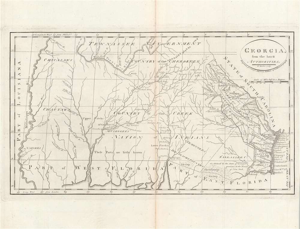
Georgia, from the latest authorities.
sold
- Digital Map Information
- Suitable for large format printing
- DPI: 600
- File Size: 24.43 MB
- File Type: ZIP / TIFF
- ICC color profile embedded
- Delivered instantly via download link
This is a significant map of Georgia from Carey's General Atlas, considered the first atlas published in the new American Republic. It demonstrates that much of the modern state of Georgia was still occupied primarily by Native Americans and little understood by white settlers. (more details)